The best mountain hikes around Mont-Saint-Martin
4.3
(16)
164
hikers
14
hikes
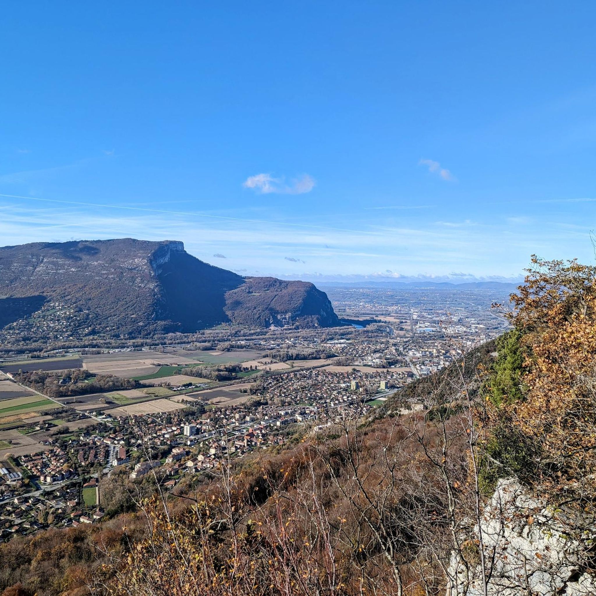
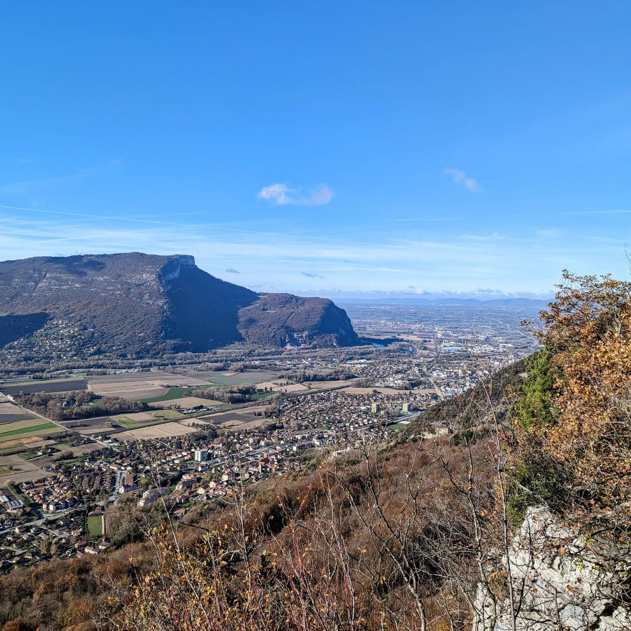
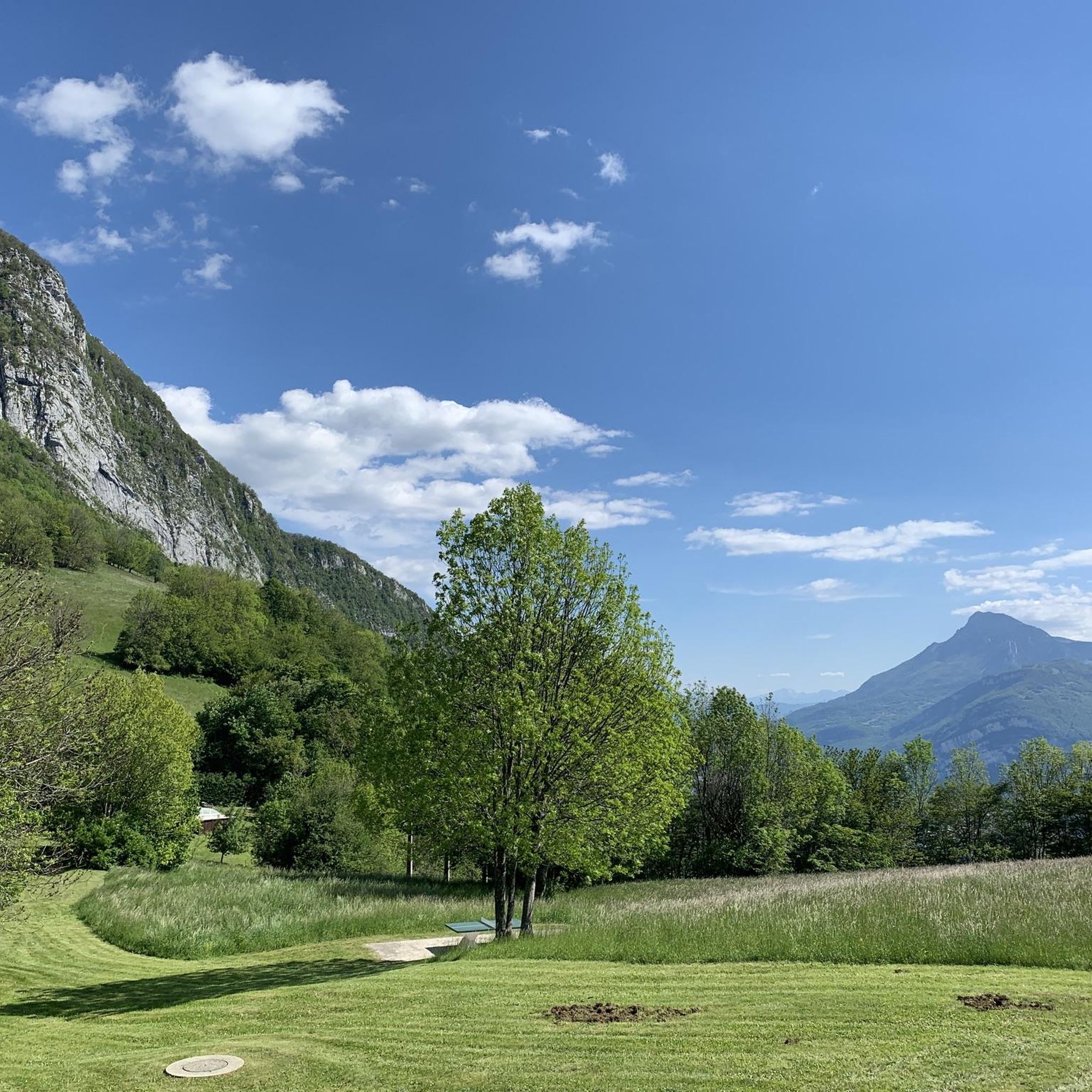
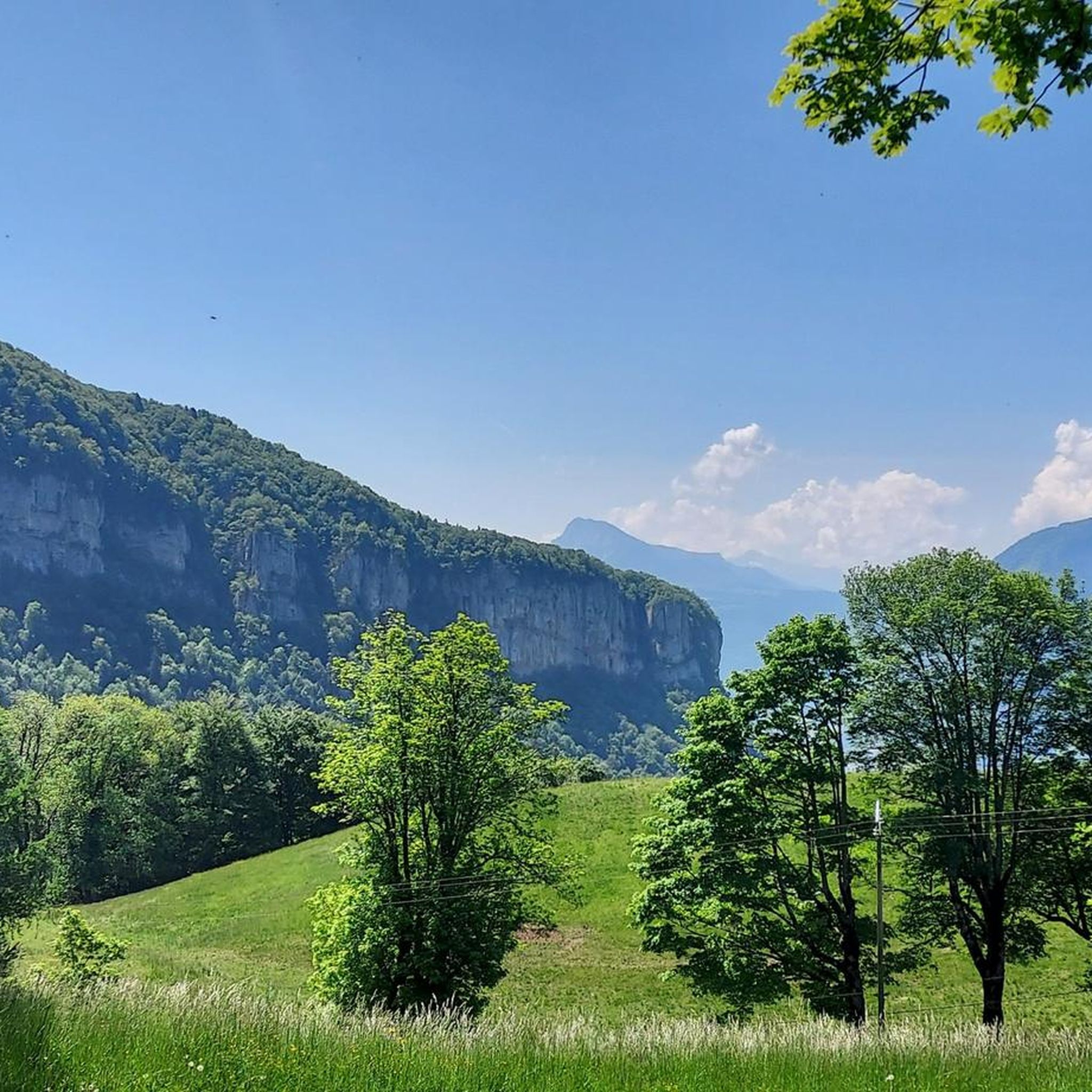
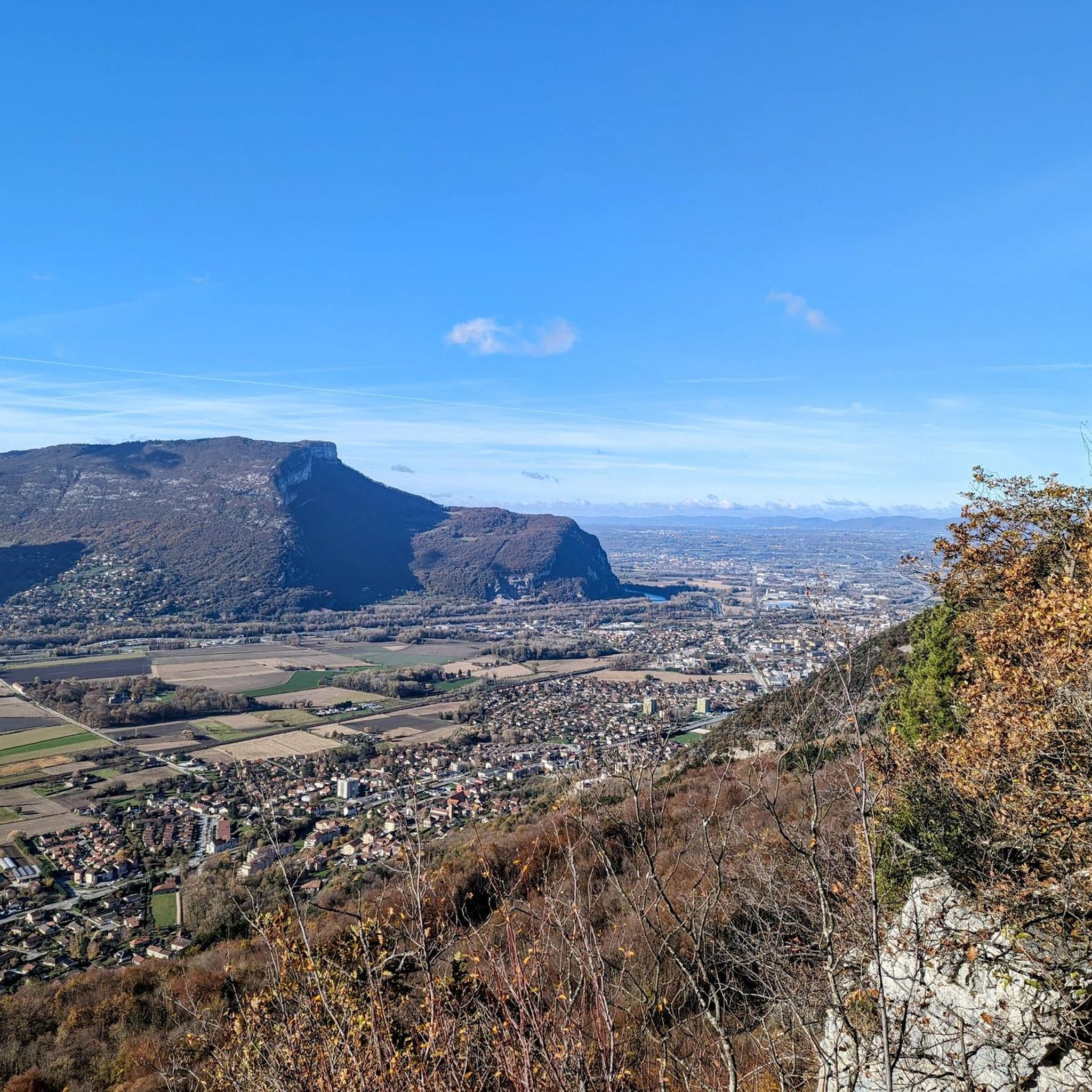
Mountaineering routes around Mont-Saint-Martin are situated within the Chartreuse Massif, characterized by its limestone peaks, deep valleys, and extensive forests. The terrain offers varied ascents, from challenging rock faces to forested paths leading to elevated viewpoints. This region provides a diverse landscape for mountaineering, with significant elevation changes and panoramic vistas.
Best mountaineering routes around Mont-Saint-Martin
- The most popular mountaineering route is Le Néron loop from Saint-Martin-le-Vinoux, a 7.8 miles (12.5 km) trail that takes 7 hours 2 minutes…
Last updated: October 4, 2026
4.3
(3)
41
hikers
7.31km
04:05
690m
690m
Hard mountaineering route. Good fitness required. Sure-footedness, sturdy shoes and alpine experience required.
4.0
(2)
18
hikers
12.5km
07:01
1,020m
1,020m
Hard mountaineering route. Very good fitness required. Sure-footedness, sturdy shoes and alpine experience required.

18
hikers
3.74km
02:29
410m
410m
Hard mountaineering route. Good fitness required. Sure-footedness, sturdy shoes and alpine experience required.
5.0
(1)
14
hikers
11.6km
03:56
510m
510m
Moderate mountaineering route. Good fitness required. Mostly accessible paths. Sure-footedness required.
5.0
(2)
14
hikers
13.7km
04:54
610m
610m
Moderate mountaineering route. Good fitness required. Mostly accessible paths. Sure-footedness required.
Get access to more routes and recommendations from other explorers.
Already have an account?
Our route recommendations are based on thousands of hikes, rides, and runs completed by other people on komoot.
Start today with a free account
Your next adventure awaits.

Tips from the Community

The Arnaud pass is a cable-equipped passage very exposed to the void. Experience with airy paths recommended. Not recommended for descent. No escape possible.
0
0

The Brèche Arnaud is a chimney passage in the cliff, about 80 m of climbing, there is a cable that allows you to secure yourself. Alpine hiking experience is essential to venture there.
0
0

A bit of gas and a beautiful view of the city
0
0

Once you start, you can't go back. I only continued at the top because a hiker pulled my backpack up with a rope. I was stuck with my backpack. Or you can pull yourself up 3 meters on the rope, which is a risky task... I couldn't do that. There are many risky, steep sections. Safety would be advisable.
0
0
Favor the climb via Sarcenas, almost no cars
3
0

The climb to the charming Som from the Col de Porte is always a treat. There are some very steep sections, but the view at the top is worth it. Be careful on the descent: uneven road, tight bends, cars.
0
0

Folatière with only 1 "l", sorry... This magnificent block of limestone is perfect for catching your breath and enjoying the scenery. It is not a collapsed block; on the contrary, it belongs to the Urgonian slab that rises higher up to the summit of the mountain. The grooves that sculpt it are due to the subtle differences in the nature and cementing of the grains of the rock (the hollow areas are those that crumble the most under the effect of freezing and thawing). They show that it has bedding, despite its often very massive appearance." extract from Geol-Alp
0
0
Frequently Asked Questions
What is the overall difficulty level of mountaineering routes around Mont-Saint-Martin?
The routes in this region are primarily categorized as moderate to difficult. There are 5 moderate routes and 9 difficult routes available, offering varied challenges for experienced mountaineers.
Are there any family-friendly mountaineering options near Mont-Saint-Martin?
Mountaineering routes around Mont-Saint-Martin are generally geared towards more experienced hikers due to significant elevation changes and challenging terrain. While there are no easy routes listed, some moderate options might be suitable for families with older, experienced children. Always check the route details and consider the fitness level of all participants.
What kind of terrain can I expect on mountaineering routes in the Chartreuse Massif?
The Chartreuse Massif, where Mont-Saint-Martin is located, is characterized by its distinctive limestone peaks, deep valleys, and extensive forests. You can expect varied ascents, from challenging rock faces to forested paths, and open alpine pastures, all offering significant elevation changes and panoramic vistas.
What do other mountaineers enjoy most about the routes in Mont-Saint-Martin?
The area is highly rated by the komoot community, with an average score of 4.75 stars from 11 reviews. Mountaineers often praise the diverse landscape, the challenging ascents, and the expansive views of the surrounding massif.
Are there any circular mountaineering routes available?
Yes, many routes around Mont-Saint-Martin are circular. For example, the Piénom (1615 m) – Charmant Som summit loop from Chamechaude is a moderate 13.75 km route, or the Col de la Chavanette Signpost – Charmant Som loop from Col de Porte, which is a moderate 8.3 km option.
What are some notable mountain passes or peaks I can explore in the vicinity?
Beyond the routes themselves, the region offers several impressive passes and peaks. You can explore the Col de Porte (1326 m) or the Clémencières Pass. For peaks, consider visiting Chamechaude or the Charmant Som summit.
What is the best time of year for mountaineering around Mont-Saint-Martin?
The best time for mountaineering in the Chartreuse Massif is typically from late spring to early autumn (May to October) when the weather is more stable and trails are clear of snow. Always check local weather forecasts and trail conditions before heading out, especially at higher elevations.
Are there any beginner-friendly mountaineering routes in Mont-Saint-Martin?
The mountaineering routes around Mont-Saint-Martin are generally moderate to difficult, with no routes specifically classified as 'easy'. Beginners should consider starting with the shorter moderate routes, such as the Oratoire d'Orgeval – Col de la Chavanette Signpost loop from Chamechaude, and ensure they have appropriate gear and experience.
How can I access the mountaineering trails using public transport?
Access to trailheads in the Chartreuse Massif can be challenging via public transport, as many routes start from smaller villages or mountain passes. It's advisable to check local bus schedules for services to key starting points like Saint-Martin-le-Vinoux or Le Sappey-en-Chartreuse, but a car often provides the most flexibility.
Where can I find parking for mountaineering trails in Mont-Saint-Martin?
Parking is typically available in the villages and near popular trailheads such as Saint-Martin-le-Vinoux, Le Sappey-en-Chartreuse, and Chamechaude. Always look for designated parking areas and respect local regulations, especially during peak seasons.
What are some longer, more challenging mountaineering routes in the area?
For a more challenging experience, consider the Le Néron loop from Saint-Martin-le-Vinoux, a difficult 12.5 km trail with significant elevation gain, or the Piénom (1615 m) – Charmant Som summit loop from Chamechaude, a moderate but longer 13.75 km route.
What is the shortest mountaineering route available?
The shortest mountaineering route listed is the L'Écoutoux loop from Le Sappey-en-Chartreuse, a difficult 3.7 km path that navigates through varied terrain.
Most popular routes around Mont-Saint-Martin
Most popular attractions around Mont-Saint-Martin

Get inspired with the komoot mobile app


Explore more
Browse the best Mountain Hikes & Routes in other regions.
