The best running trails around Mittelbergheim
4.4
(322)
18,020
runners
472
runs
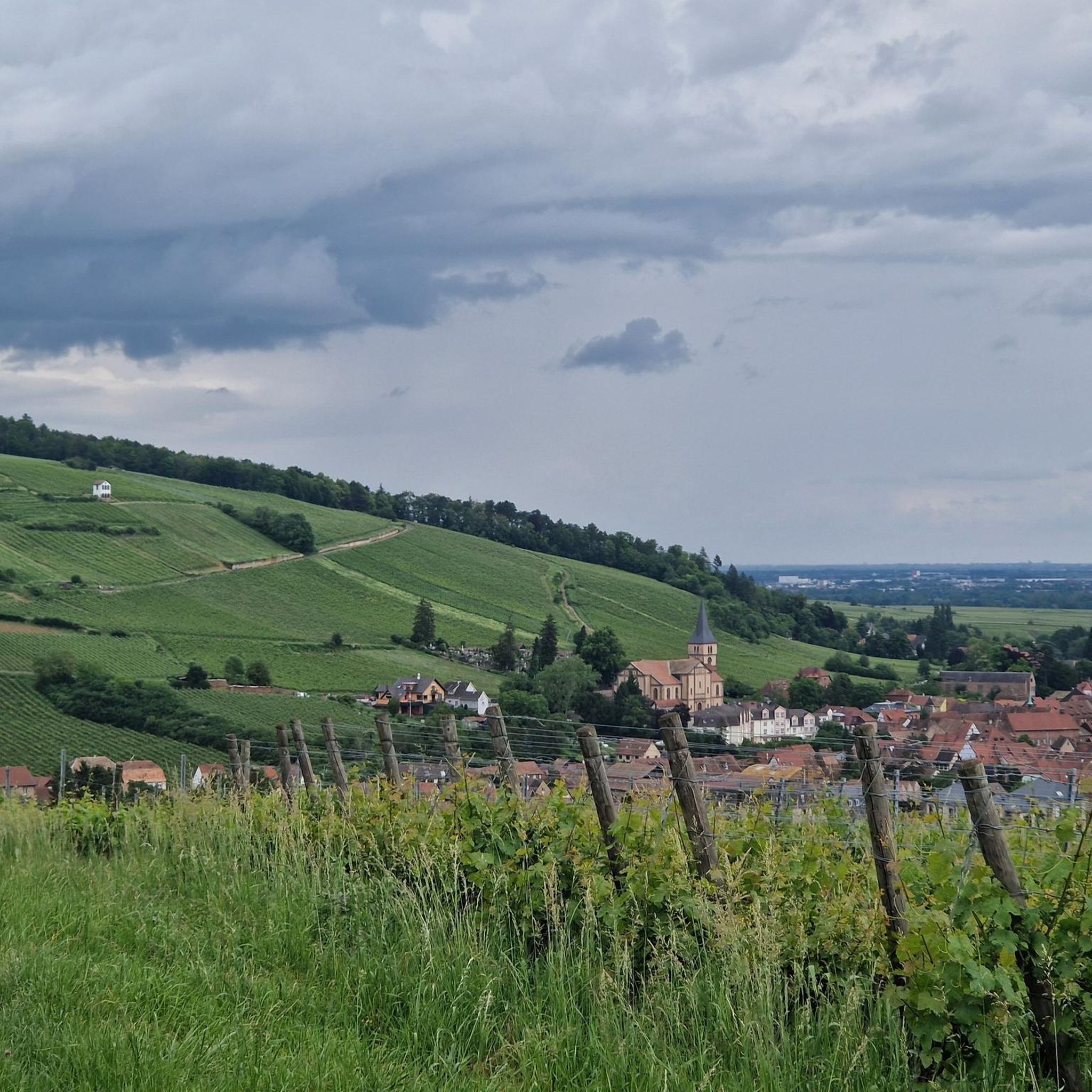
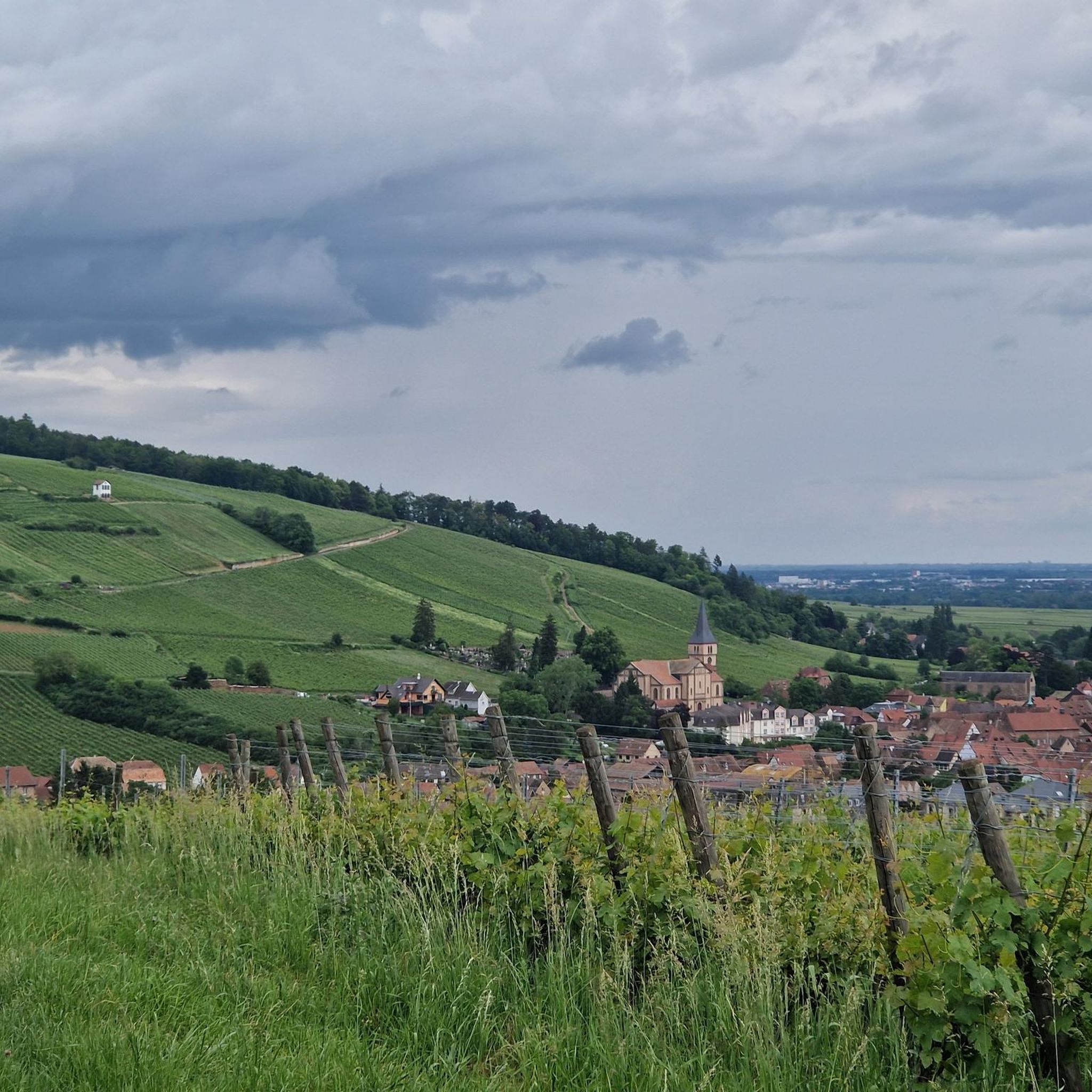
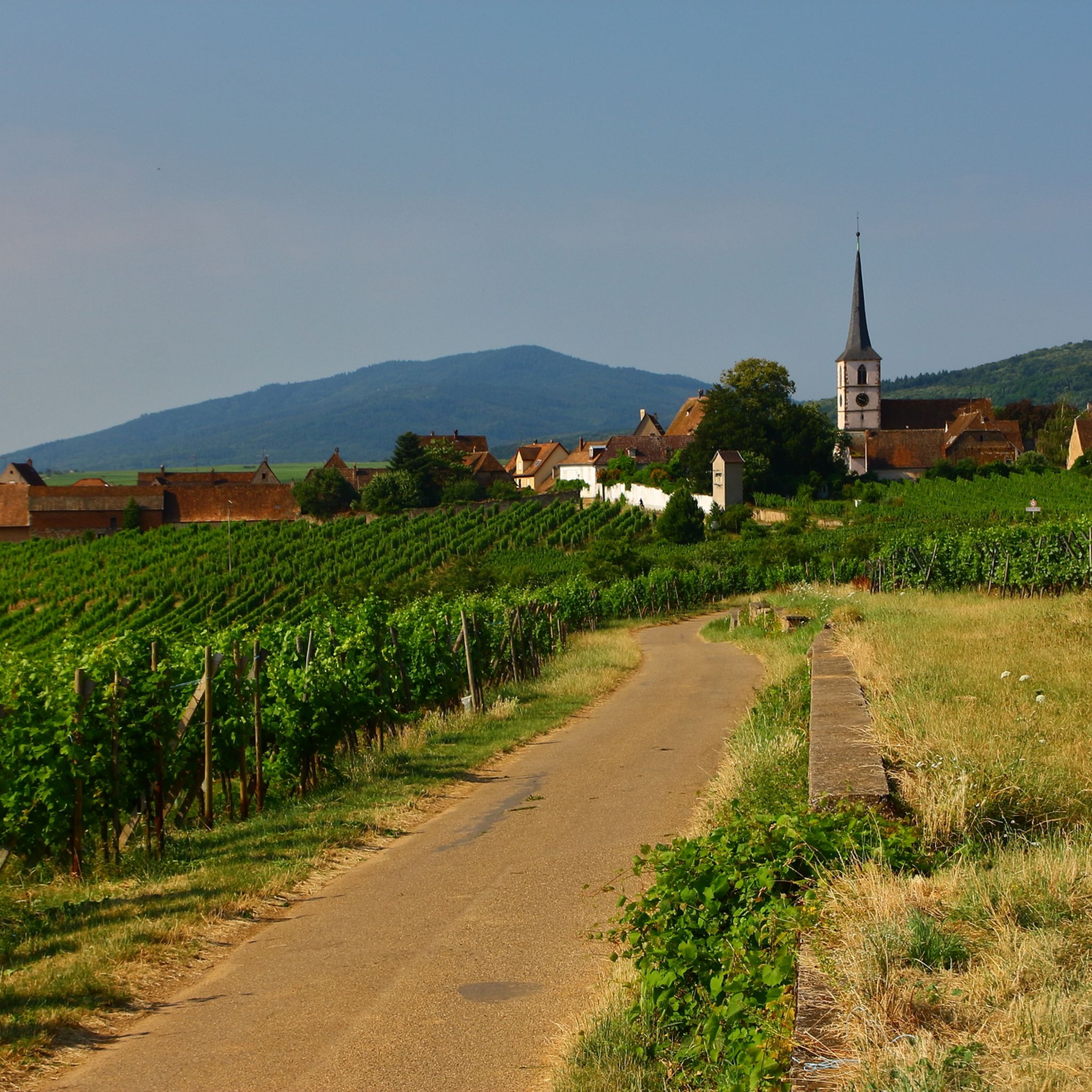
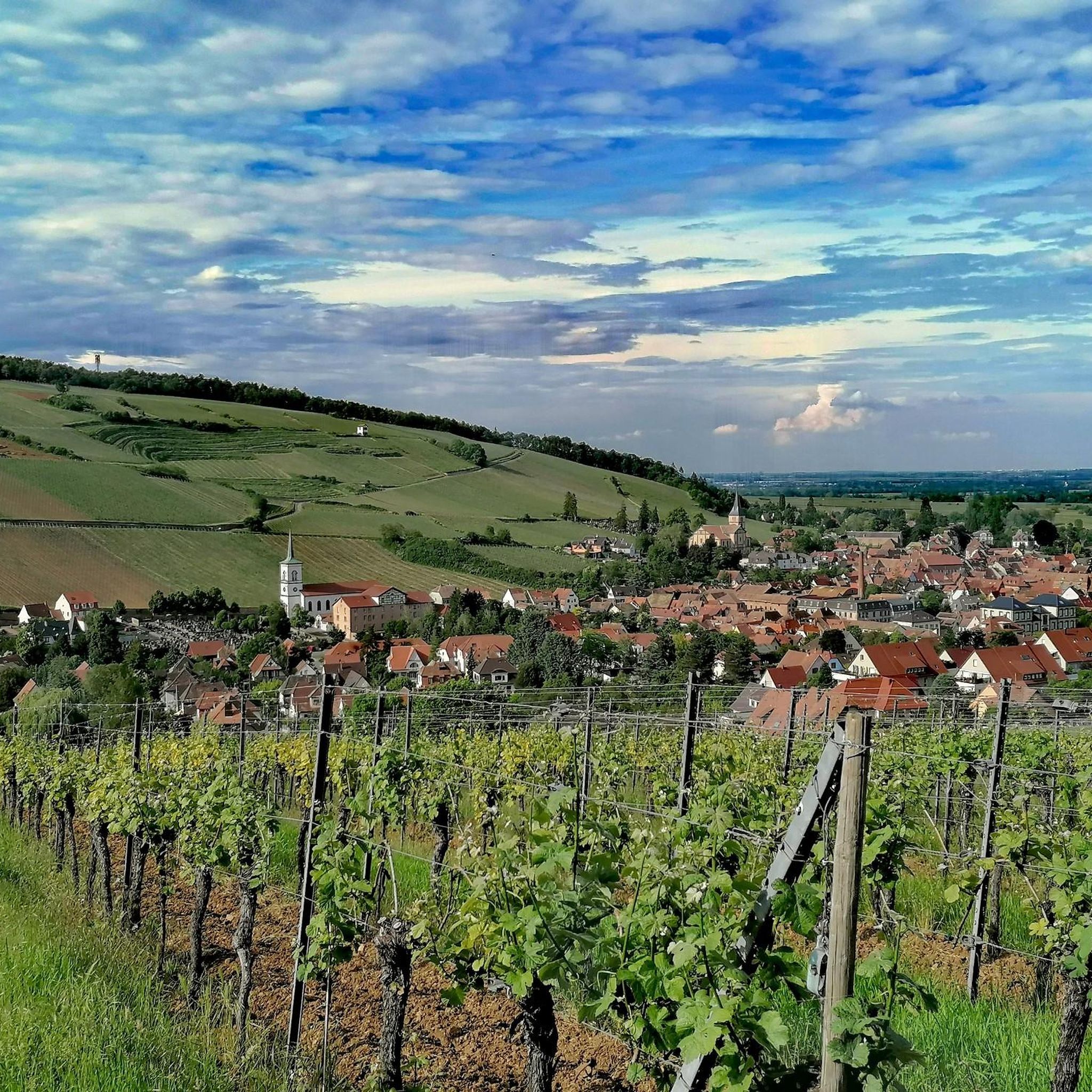
Jogging around Mittelbergheim offers diverse routes through picturesque vineyard landscapes and the foothills of the Vosges mountains. The region is characterized by expansive vineyards, particularly the Grand Cru Zotzenberg, which blanket the hillsides and provide numerous paths. Runners can explore trails winding through forests and across limestone hills, offering varied terrain and panoramic views of the Alsace plain. This area provides a mix of easy vineyard paths and more challenging forest routes.
Best jogging routes around Mittelbergheim
- The most popular…
Last updated: October 4, 2026
5.0
(1)
377
runners
49.0km
06:30
1,820m
1,850m
Hard run. Very good fitness required. Sure-footedness, sturdy shoes and alpine experience required.
4.6
(11)
467
runners
17.5km
02:13
540m
540m
Hard run. Very good fitness required. Mostly paved surfaces. Suitable for all skill levels.

5.0
(2)
472
runners
21.7km
02:43
640m
640m
Hard run. Very good fitness required. Mostly paved surfaces. Suitable for all skill levels.
5.0
(6)
678
runners
22.8km
02:58
800m
800m
Hard run. Very good fitness required. Mostly paved surfaces. Suitable for all skill levels.
4.8
(6)
304
runners
15.7km
01:56
450m
450m
Hard run. Very good fitness required. Mostly paved surfaces. Suitable for all skill levels.
Get access to more routes and recommendations from other explorers.
Already have an account?
Our route recommendations are based on thousands of hikes, rides, and runs completed by other people on komoot.
Start today with a free account
Your next adventure awaits.
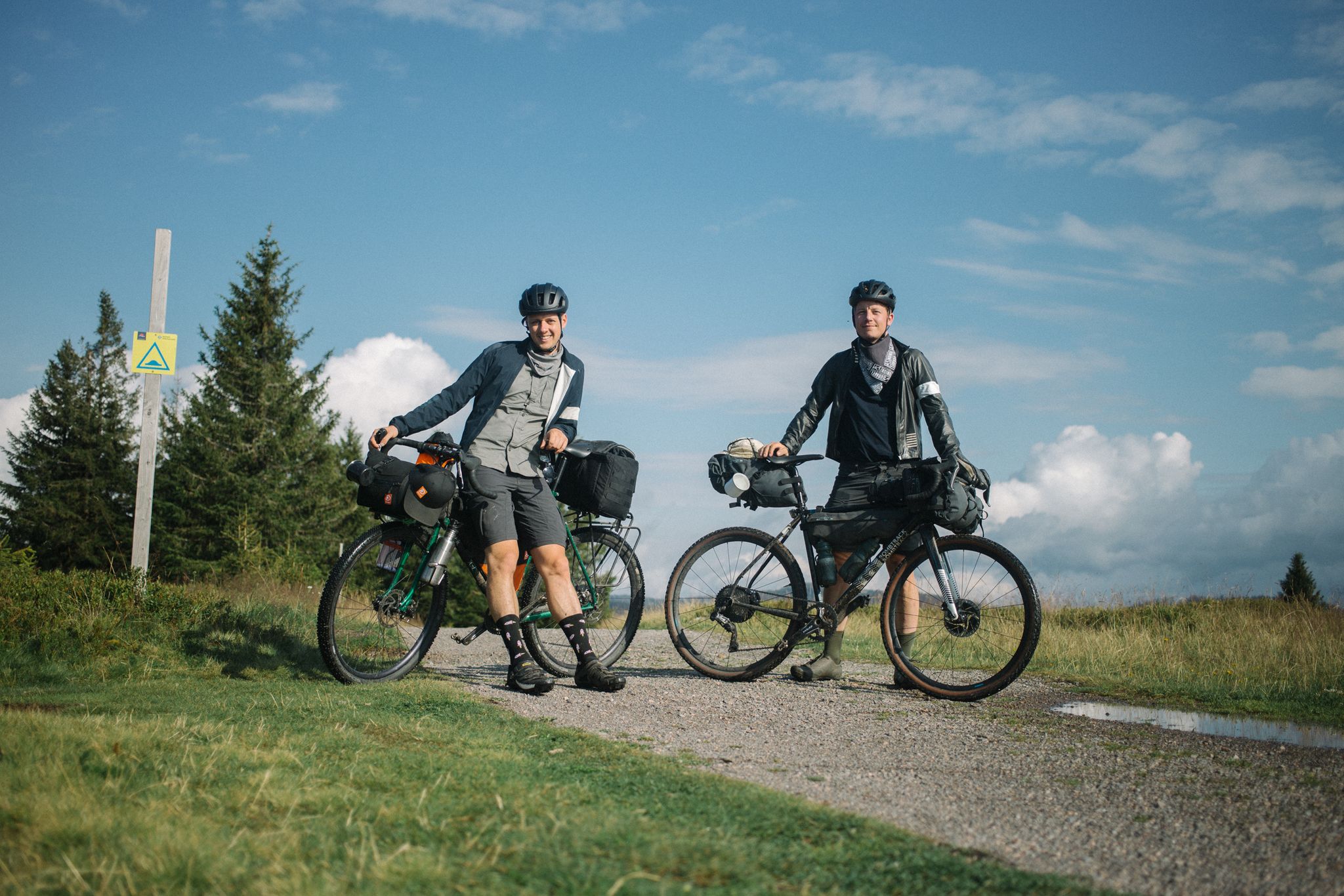

Other adventures around Mittelbergheim

Tips from the Community

Beautiful viewpoint of the Rhine valley and the Black Forest. The Panoramafelsen is located at 780 m.
0
0
The Maennelstein (Männelstein) is a striking, 817-meter-high sandstone rock on the southern edge of Mont Sainte-Odile in Alsace. It is considered one of the most beautiful viewpoints in the region and offers a wide panoramic view over the Rhine plain, the Black Forest, and on clear days even as far as the Alps.
0
0
This imposing sandstone block is located below the enclosure of the Pagan Wall (Mur Païen), about fifty meters away. Before the expansion of the forest, this rock offered an excellent vantage point (Lauerposten) to monitor the access to Mont Sainte-Odile on the road from Barr. As proof of the importance of this place, the watchstone was connected to the main enclosure by a cross-wall of the same construction as the Pagan Wall. The sandstone blocks were connected to each other by a system of oak dowels and mortises (Mortaises et Tenons).
0
0

Super viewpoint from the top of the tower over the entire Alsace plain and the Vosges. !!! Be careful not to hit your head at the top of the stairs, there is only 1.40m of ceiling height !!!
0
0

This viewpoint overlooking the valley features a large observation platform with a magnificent orientation table. The belvedere positions you at the treetops, offering a superb, unobstructed view.
0
0

The castle was built between 1197 and 1200 by Konrad von Landsberg to fortify the abbeys of Hohenburg, Niedermünster, and Andlau, and to serve as a refuge for Niedernaier Castle in times of danger. By the 15th century, the castle was said to have been in poor condition, and in 1632, it was completely destroyed by the Swedes during the Thirty Years' War. During the French Revolution, the castle, like its neighbor, Hohenburg-Andlau Castle, was sold as national property. Today, the castle, which is owned by the von Türckheim family, is undergoing extensive restoration work and excavations.
2
0
The castle was built around 1264 by the Lords of Andlau, Knights of the Holy Roman Empire of the German Nation, and was largely spared the destructive fury of the Thirty Years' War. During the French Revolution, the castle was confiscated as national property and sold to a merchant in 1796, who resold it piece by piece from 1806 onward, without much notice. In 1818, the Andlau family bought back the castle to preserve its remains. This painstaking and meticulous work is now undertaken by the association "Les Amis du Château d'Andlau" (Friends of the Castle of Andlau).
1
0

Great views into the distance. Lots of benches to stop for a break, and also plenty of parking spaces if you come by car.
0
0
Frequently Asked Questions
How many running routes are available around Mittelbergheim?
Mittelbergheim offers a wide selection of over 400 running routes, catering to various preferences and fitness levels. These include easy vineyard paths, moderate forest trails, and more challenging routes through the Vosges foothills.
What kind of terrain can I expect on the jogging trails in Mittelbergheim?
The jogging trails around Mittelbergheim feature diverse terrain. You'll find paths winding through picturesque vineyards, often paved and with gentle inclines, as well as more challenging routes through dense forests and the foothills of the Vosges mountains. The region's limestone hills also contribute to varied landscapes.
Are there any running routes that pass by historical landmarks or castles?
Yes, several running routes combine natural beauty with historical exploration. For example, the Château du Landsberg – Landsberg Castle loop from Barr is a challenging 14.5 km path that takes you past the historic Château du Landsberg. Other routes in the area also lead to sites like the 13th-century Château du Haut-Andlau.
What are some scenic viewpoints I can enjoy while running in Mittelbergheim?
Mittelbergheim's location offers stunning panoramic views. Many vineyard paths, especially around the Grand Cru Zotzenberg, provide vistas across the valley and the Alsace plain, sometimes even extending to the Black Forest. The Landsberg Castle – Jadelot Kiosk Viewpoint loop from Barr is another route known for its varied landscapes and potential viewpoints.
Are there any easy or beginner-friendly running routes in the area?
Yes, Mittelbergheim has options for all abilities. While many routes are moderate to difficult, there are easy vineyard paths suitable for beginners or those looking for a relaxed run. The 'Mittelbergheim Sentier Viticole Walk' is an example of an easy, paved path through the vineyards with gentle inclines.
Can I find circular running routes around Mittelbergheim?
Yes, many of the running routes in Mittelbergheim are designed as loops, allowing you to start and finish in the same location. Examples include vineyard loops like the 'Mittelbergheim vineyard – Three Oaks Junction loop' and forest paths such as the 'Chemin des Espiègles' loop.
What do other runners say about the trails in Mittelbergheim?
The running routes in Mittelbergheim are highly rated by the komoot community, with an average score of 4.5 stars from over 190 reviews. Runners often praise the picturesque vineyard landscapes, the diverse terrain, and the stunning panoramic views of the Alsace plain.
Are there any natural attractions or monuments to see along the running trails?
Beyond the vineyards, you can discover several natural attractions. Some routes might lead you near sites like Saint Odile's Spring, Rocher des Géants, or Rocher des Celtes. The region is also known for wildflowers, including wild yellow tulips blooming from April to June.
What is the best time of year for jogging in Mittelbergheim?
Mittelbergheim is enjoyable for jogging throughout much of the year. Spring (April-June) is particularly scenic with wildflowers and budding vines. Autumn offers beautiful golden vineyard landscapes. Summer provides lush greenery, though it can be warm. Winter running is possible, but conditions may vary.
Are there any particularly challenging running routes for experienced runners?
For experienced runners seeking a challenge, Mittelbergheim and its surroundings offer several difficult routes. The Stage 4: Barr to Obernai – Trail Alsace Grand Est by UTMB is a demanding 49 km trail with significant elevation changes. Other challenging options include routes leading towards Mont Sainte-Odile, offering rewarding views from higher elevations.
Are there any running routes that offer shade during warmer months?
Yes, beyond the open vineyards, many trails extend into the surrounding forests, providing welcome shade during warmer months. These forest paths offer a cooler environment for running and often lead to other charming Alsatian villages or viewpoints.
What are some notable peaks or summits accessible from Mittelbergheim for a challenging run?
For those looking to incorporate peaks into their run, the region offers access to several. While challenging, routes towards Mont Sainte-Odile from nearby Barr provide superb panoramas. Other notable points include Heidenkopf and Hering Tower on Ungersberg, which can be part of longer, more strenuous routes.
Most popular routes around Mittelbergheim
Most popular attractions around Mittelbergheim

Get inspired with the komoot mobile app


Explore more
Browse the best Running Trails & Routes in other regions.
