The best road cycling routes around Saint-Julien-De-Raz
4.5
(415)
8,866
riders
157
rides
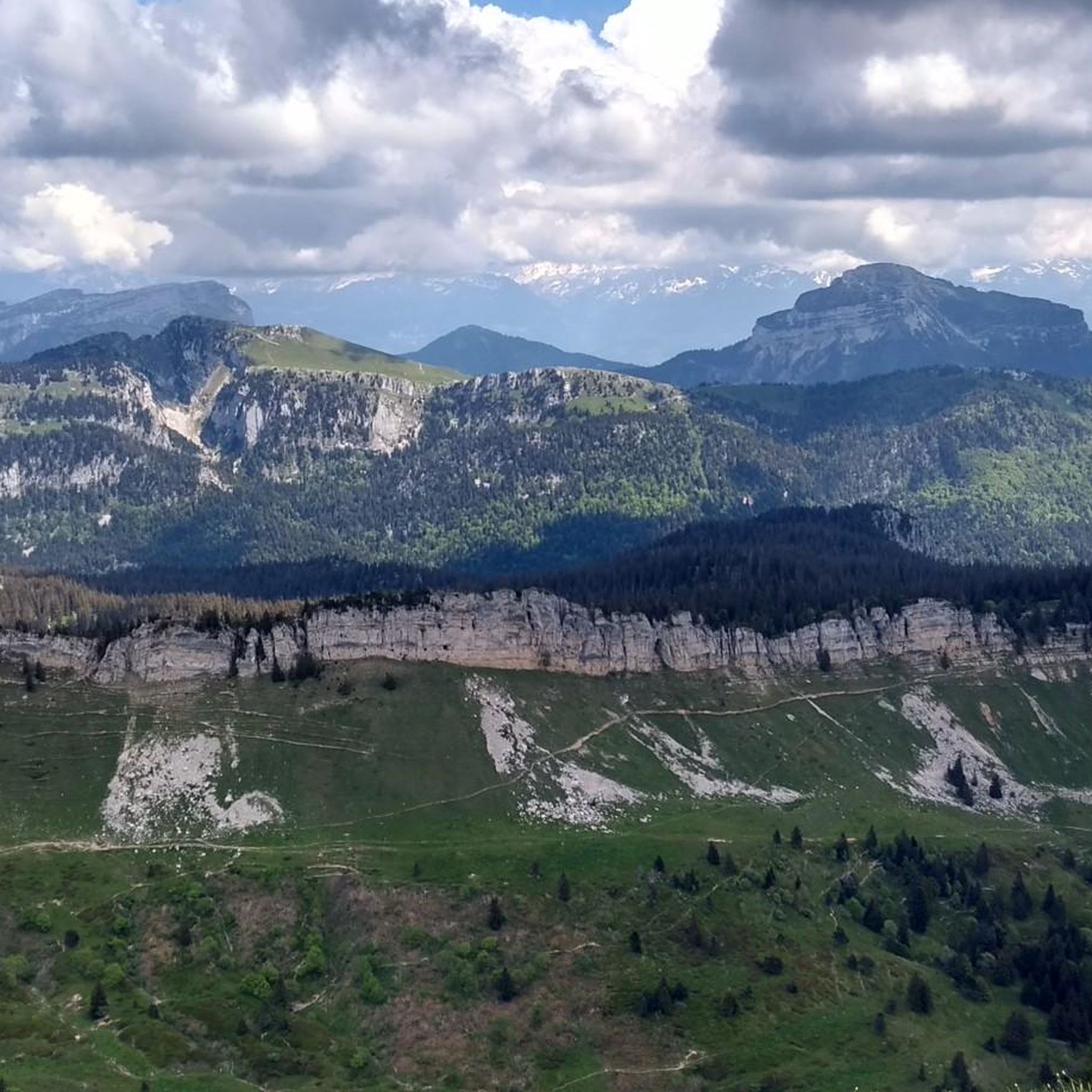
Road cycling around Saint-Julien-De-Raz, located within the Chartreuse Regional Natural Park, offers diverse and challenging terrain. The area features a significant elevation range, from approximately 463 meters to 1,891 meters, providing varied gradients for cyclists. Notable physical features include mountain passes, deep gorges, and valleys, alongside forests, prairies, and alpages. The region's landscape is characterized by limestone plateaus and mountainous areas, making it suitable for a range of road cycling experiences.
Best road cycling routes around Saint-Julien-De-Raz
- The most popular…
Last updated: October 5, 2026
4.5
(19)
317
riders
37.8km
01:55
640m
640m
Moderate road ride. Good fitness required. Mostly well-paved surfaces and easy to ride.
4.8
(4)
186
riders
87.3km
05:05
2,110m
2,110m
Hard road ride. Very good fitness required. Mostly well-paved surfaces and easy to ride.

5.0
(1)
163
riders
Easy road ride. Great for any fitness level. Mostly well-paved surfaces and easy to ride.
4.8
(5)
132
riders
56.1km
03:24
1,480m
1,480m
Hard road ride. Very good fitness required. Mostly well-paved surfaces and easy to ride.
5.0
(1)
104
riders
72.7km
04:06
1,630m
1,630m
Hard road ride. Very good fitness required. Some segments of this route may be unpaved and difficult to ride.
Get access to more routes and recommendations from other explorers.
Already have an account?
Our route recommendations are based on thousands of hikes, rides, and runs completed by other people on komoot.
Start today with a free account
Your next adventure awaits.
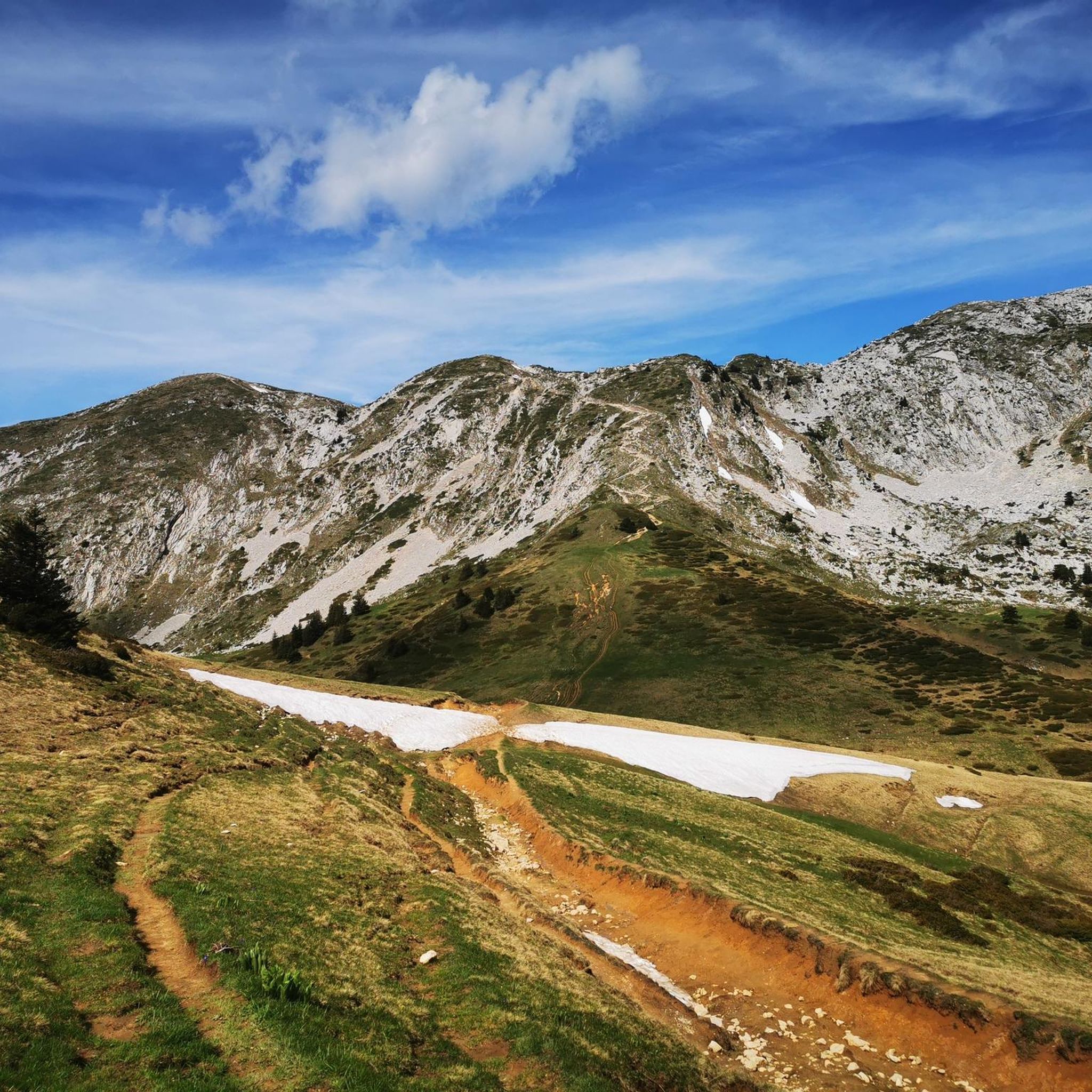
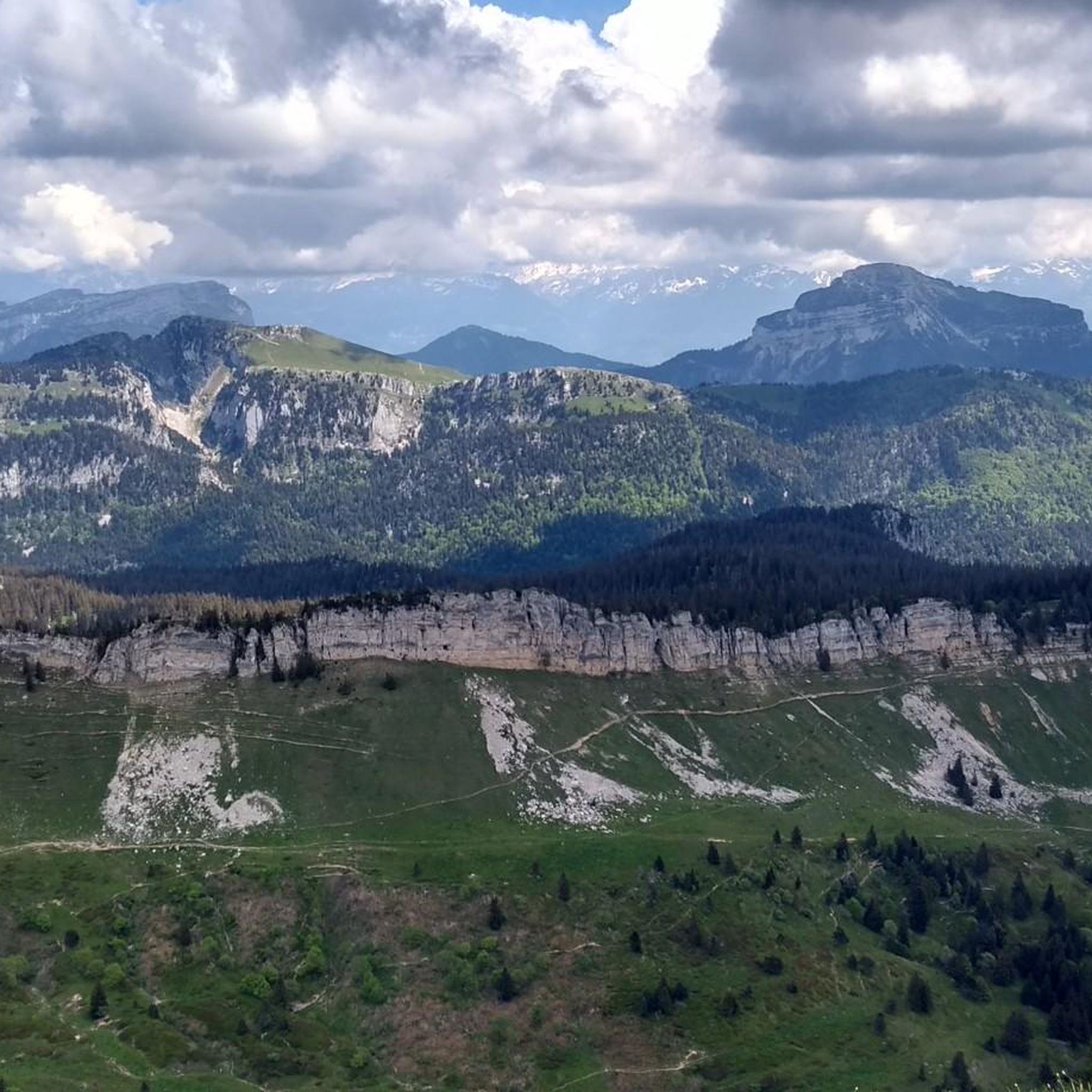
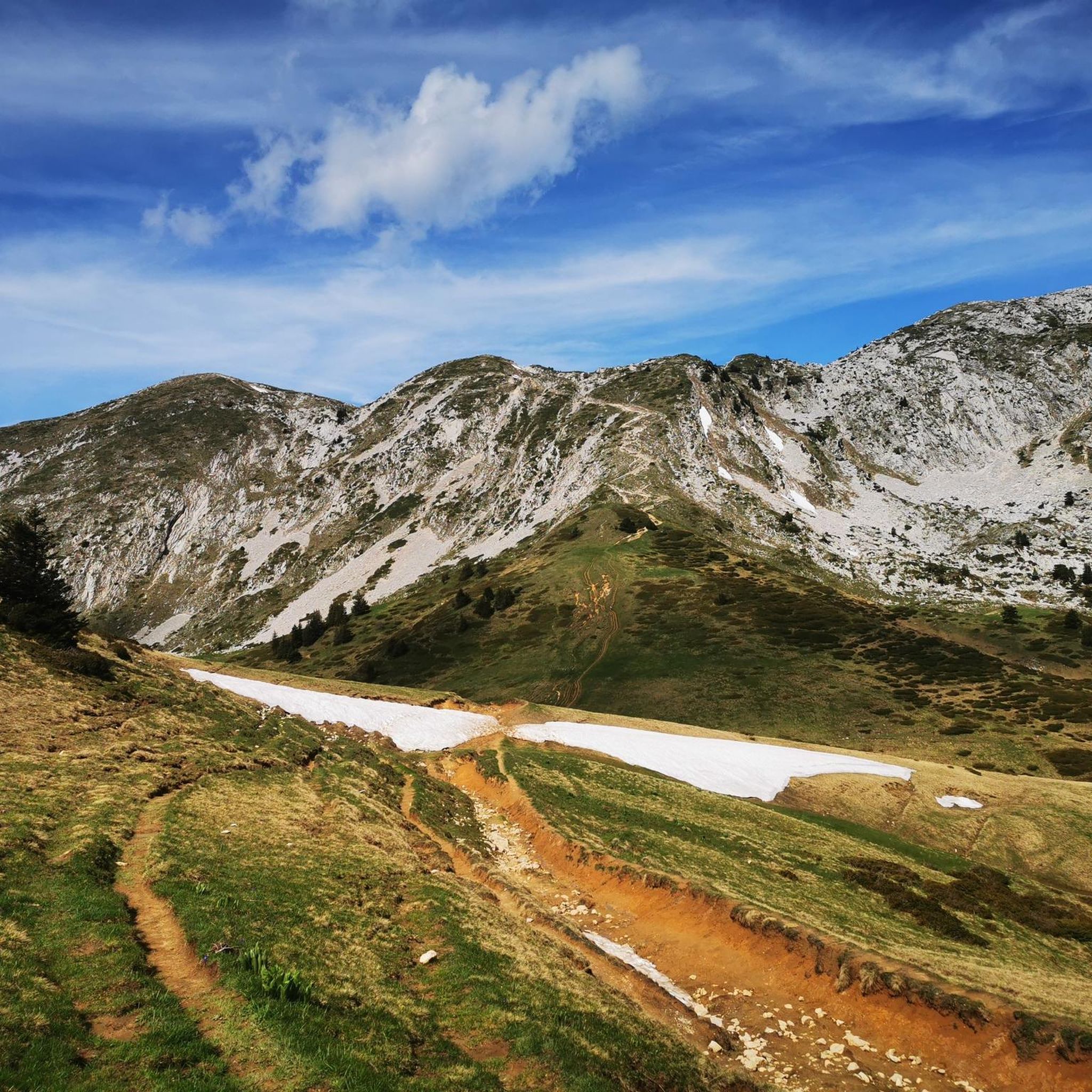

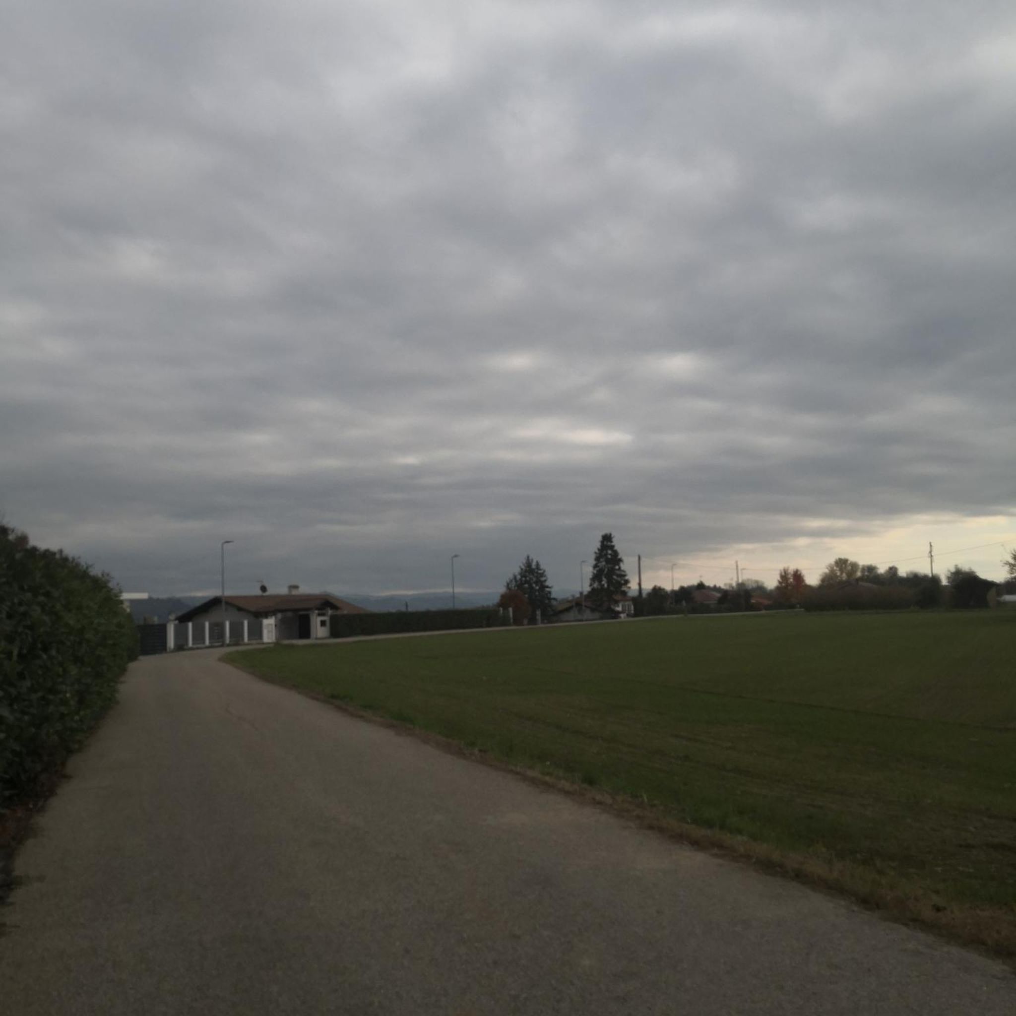
Tips from the Community

A laid out flat, with occasional views of the Isère and the ver c ors, but frankly a bit boring and frankly along the highway. The crossed rest area looked nice but was crowded with people. The charging and repair station was out of order.
0
0

La Véloroute de l'Isère, officially integrated into the national route La Belle Via (referenced under number V63), is a cycling route of over 200 kilometers that runs along the Isère river. It connects the foothills of Savoie to the Drôme (connection with ViaRhôna), by crossing the entire department of Isère and its capital, Grenoble.
0
0
The Véloroute de l'Isère, officially integrated into the national route La Belle Via (referenced under number V63), is a cycling route of over 200 kilometers that runs along the Isère river. It connects the foothills of Savoie to the Drôme (connection with ViaRhôna), crossing the entire department of Isère and its capital, Grenoble.
0
0
The La Véloroute de l'Isère, officially integrated into the national route La Belle Via (referenced under number V63), is a cycling route of over 200 kilometers that runs along the Isère river. It connects the foothills of Savoie to the Drôme (connection with ViaRhôna), by crossing the entire department of Isère and its capital, Grenoble.
0
0
The Véloroute de l'Isère, officially integrated into the national route La Belle Via (referenced under number V63), is a cycling route of over 200 kilometers that runs along the Isère river. It connects the foothills of Savoie to the Drôme (connection with ViaRhôna), by crossing the entire department of Isère and its capital, Grenoble.
0
0
The Véloroute de l'Isère, officially integrated into the national route La Belle Via (referenced under number V63), is a cycling route of over 200 kilometers that runs along the Isère river. It connects the foothills of Savoie to the Drôme (connection with ViaRhôna), by entirely crossing the department of Isère and its capital, Grenoble.
0
0
The Véloroute de l'Isère, officially integrated into the national La Belle Via route (referenced under number V63), is a cycling route of over 200 kilometers that runs along the Isère river. It connects the foothills of Savoie to the Drôme (connection with ViaRhôna), crossing the entire Isère department and its capital, Grenoble.
0
0
La Belle Via (Green Way): The bridge is an unmissable landmark for cyclists. A flat and shaded cycle route, the Green Way from Saint-Gervais to Pont-d'Oxford, follows the Isère river up to its confluence with the Drac, offering a superb view of the cliffs.
0
0
Frequently Asked Questions
How many road cycling routes are available around Saint-Julien-De-Raz?
There are over 130 road cycling routes in the Saint-Julien-De-Raz area, offering a wide range of experiences. These routes traverse diverse landscapes within the Chartreuse Regional Natural Park, from challenging mountain passes to scenic gorges and valleys.
What kind of terrain can I expect when road cycling in Saint-Julien-De-Raz?
Road cycling in Saint-Julien-De-Raz is characterized by significant elevation changes, ranging from approximately 463 meters to 1,891 meters. You'll encounter challenging mountain passes like the Col des Mille Martyrs, dramatic gorges such as the Gorges du Guiers Mort, and picturesque stretches through forests, prairies, and alpages. The region's limestone plateaus also offer varied gradients.
Are there challenging road cycling routes for experienced riders?
Yes, Saint-Julien-De-Raz is an excellent destination for experienced road cyclists seeking demanding ascents. Routes like the Col du Cucheron (1,139 m) – Gorges du Guiers Mort loop from Coublevie cover over 87 km with significant elevation gains, traversing dramatic gorges and challenging mountain passes. Another difficult option is the Gorges du Guiers Mort – Col de Porte (1326 m) loop from Saint-Étienne-de-Crossey.
Are there any easier or moderate road cycling routes suitable for beginners?
Absolutely. While the region is known for its challenging terrain, there are also moderate routes available. For instance, the Gorges de Crossey – Pierre Chave Bridge loop from Coublevie offers a moderate experience through scenic gorges. Another option is the Bret Gorge loop from La Buisse, which provides a manageable ride with beautiful views.
What are some scenic highlights or landmarks I can see along the road cycling routes?
The routes offer numerous scenic points. You can cycle past natural monuments like the impressive La Folatière Monolith, or experience the dramatic beauty of the Gorges du Crossey. Many routes also lead to stunning viewpoints, such as the Oratoire d'Orgeval, offering panoramic vistas of the surrounding valleys and mountains.
What do other road cyclists enjoy most about the routes in Saint-Julien-De-Raz?
The road cycling routes in Saint-Julien-De-Raz are highly rated by the komoot community, with an average score of 4.5 stars from over 300 reviews. Cyclists frequently praise the diverse and challenging terrain, the dramatic scenery of the gorges and mountain passes, and the rewarding views from various ascents. The varied landscapes, from forests to prairies, also contribute to a constantly engaging ride.
Are there loop routes available for road cycling?
Yes, many of the road cycling routes around Saint-Julien-De-Raz are designed as loops, allowing you to start and finish at the same point. Examples include the popular Col des Mille Martyrs – Pierre Chave Bridge loop from Coublevie and the more challenging Col du Cucheron (1,139 m) – Gorges du Guiers Mort loop from Coublevie.
Is Saint-Julien-De-Raz suitable for family-friendly road cycling?
While many routes feature significant elevation changes, there are options that can be adapted for families with older children or those seeking less strenuous rides. It's best to check the difficulty grade and elevation profile of individual routes on komoot to find one that matches your family's ability. The region's varied terrain means some sections might be more suitable than others.
What is the best time of year for road cycling in this region?
The best time for road cycling in Saint-Julien-De-Raz is typically from late spring through early autumn (May to October). During these months, the weather is generally milder, and mountain passes are clear of snow. Summer offers warmer temperatures, while spring and autumn provide pleasant conditions with vibrant foliage, though some higher passes might still be chilly or have early snow in late autumn.
Are there amenities like cafes or accommodation along the road cycling routes?
The Chartreuse Regional Natural Park, where Saint-Julien-De-Raz is located, has various villages and towns that offer amenities. While specific cafes directly on every route might vary, you can often find places to refuel and rest in the larger settlements or at the start/end points of many tours. Planning your route with komoot allows you to see points of interest and potential stops.
Is parking available for cyclists in Saint-Julien-De-Raz?
Yes, parking is generally available in and around Saint-Julien-De-Raz and the starting points of many routes. Larger towns like Coublevie or Saint-Étienne-de-Crossey, which serve as common departure points for these cycling tours, typically offer public parking facilities. It's advisable to check specific parking options for your chosen starting location.
Can I access the road cycling routes using public transport?
Access to Saint-Julien-De-Raz and surrounding areas by public transport is possible, though it might require some planning. Regional bus services connect some of the villages within the Chartreuse Regional Natural Park. For detailed information on routes and schedules, it's recommended to consult local public transport websites, as services can vary and may not always accommodate bicycles directly.
Most popular routes around Saint-Julien-De-Raz
Most popular attractions around Saint-Julien-De-Raz

Get inspired with the komoot mobile app


Explore more
Browse the best Road cycling routes in other regions.
