The best mountain hikes around Proveysieux
4.8
(16)
202
hikers
23
hikes
Mountaineering routes around Proveysieux are set within the dramatic landscapes of the Chartreuse Regional Nature Park, characterized by expansive limestone cliffs, deep gorges, and lush forests. The region features significant mountainous terrain with summits like Charmant Som and Grande Sûre, offering varied ascents. This area provides a diverse natural environment for mountain enthusiasts, ranging from challenging rocky escarpments to serene alpine meadows.
Best mountaineering routes around Proveysieux
- The most popular mountaineering route is Le Néron loop from Saint-Martin-le-Vinoux, a…
Last updated: July 15, 2026
4.3
(3)
45
hikers
7.01km
03:53
660m
660m
Hard mountaineering route. Good fitness required. Sure-footedness, sturdy shoes and alpine experience required.
4.0
(2)
19
hikers
12.5km
07:01
1,020m
1,020m
Hard mountaineering route. Very good fitness required. Sure-footedness, sturdy shoes and alpine experience required.

Sign up for free
14
hikers
3.74km
02:29
410m
410m
Hard mountaineering route. Good fitness required. Sure-footedness, sturdy shoes and alpine experience required.
5.0
(1)
13
hikers
11.6km
03:57
510m
510m
Moderate mountaineering route. Good fitness required. Mostly accessible paths. Sure-footedness required.
5.0
(2)
13
hikers
13.8km
04:54
610m
610m
Moderate mountaineering route. Good fitness required. Mostly accessible paths. Sure-footedness required.
Get access to more routes and recommendations from other explorers.
Sign up for free
Already have an account?
Our route recommendations are based on thousands of hikes, rides, and runs completed by other people on komoot.
Start today with a free account
Your next adventure awaits.
Login or Signup
Popular around Proveysieux
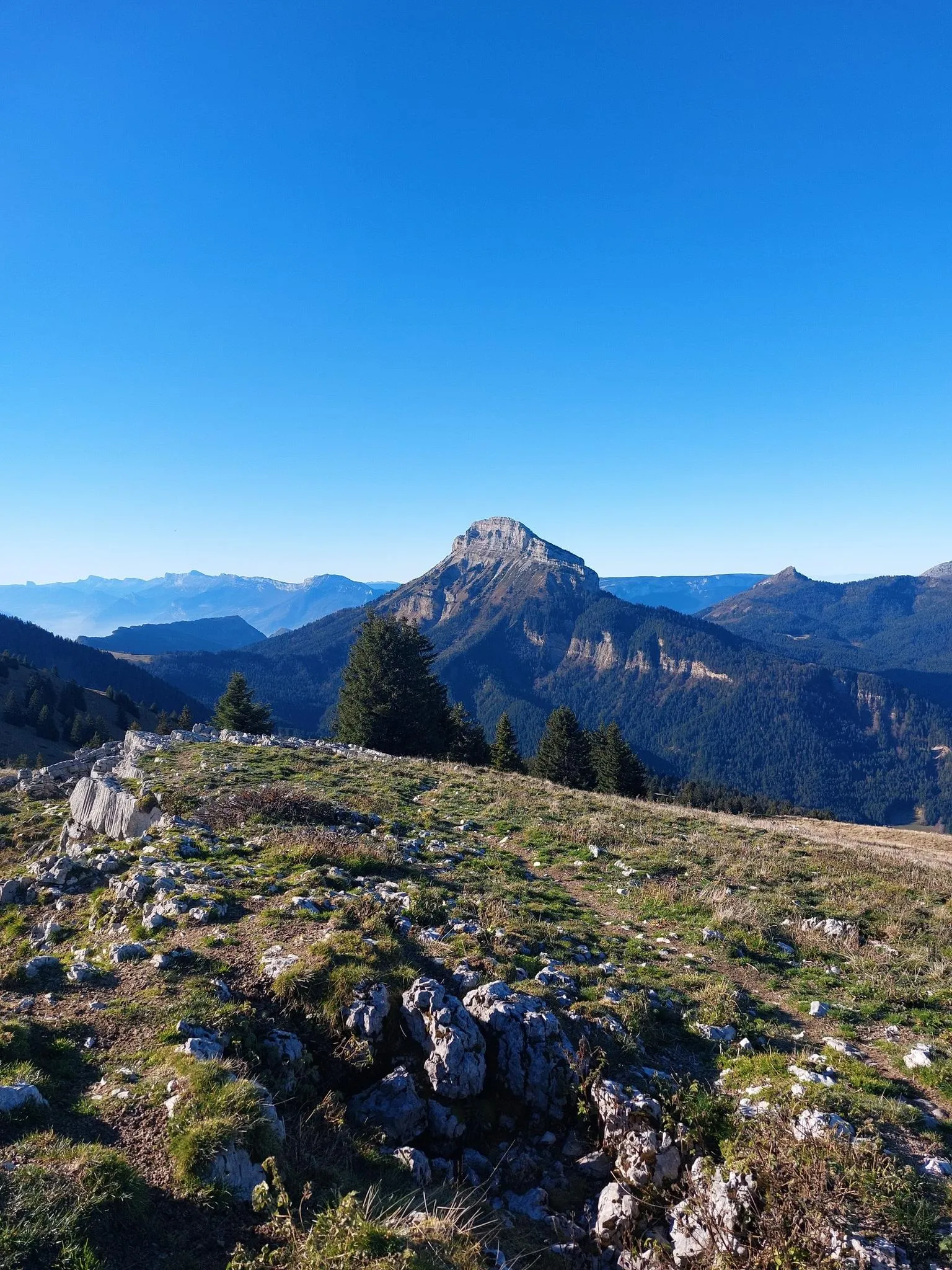
Summits, plateaus and panoramas — 20 trail outings in Chartreuse
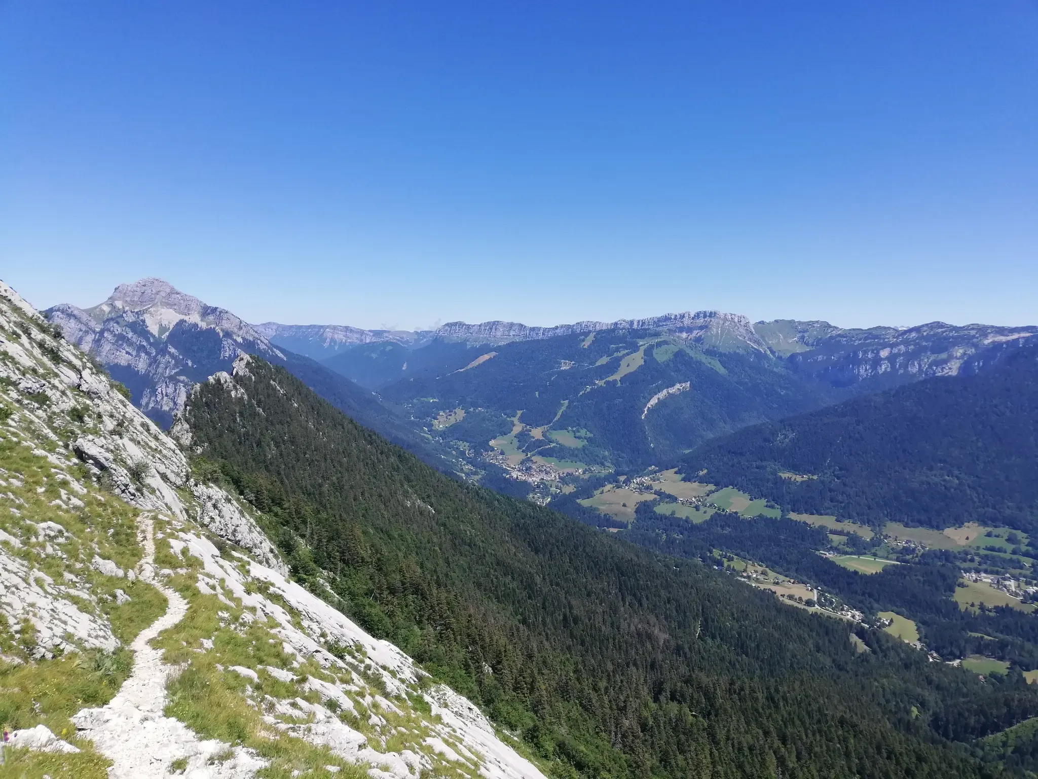
At the gates of Chartreuse in France – Grenoble to Voiron
Road Cycling Routes around Proveysieux
Cycling around Proveysieux
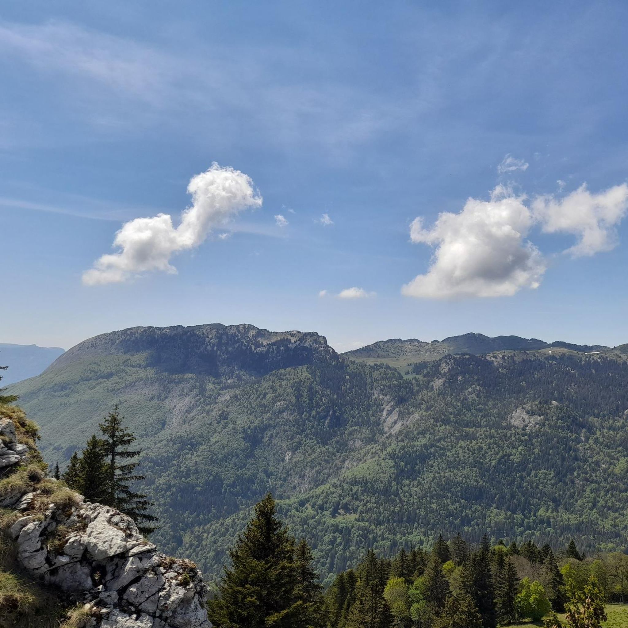
Running Trails around Proveysieux
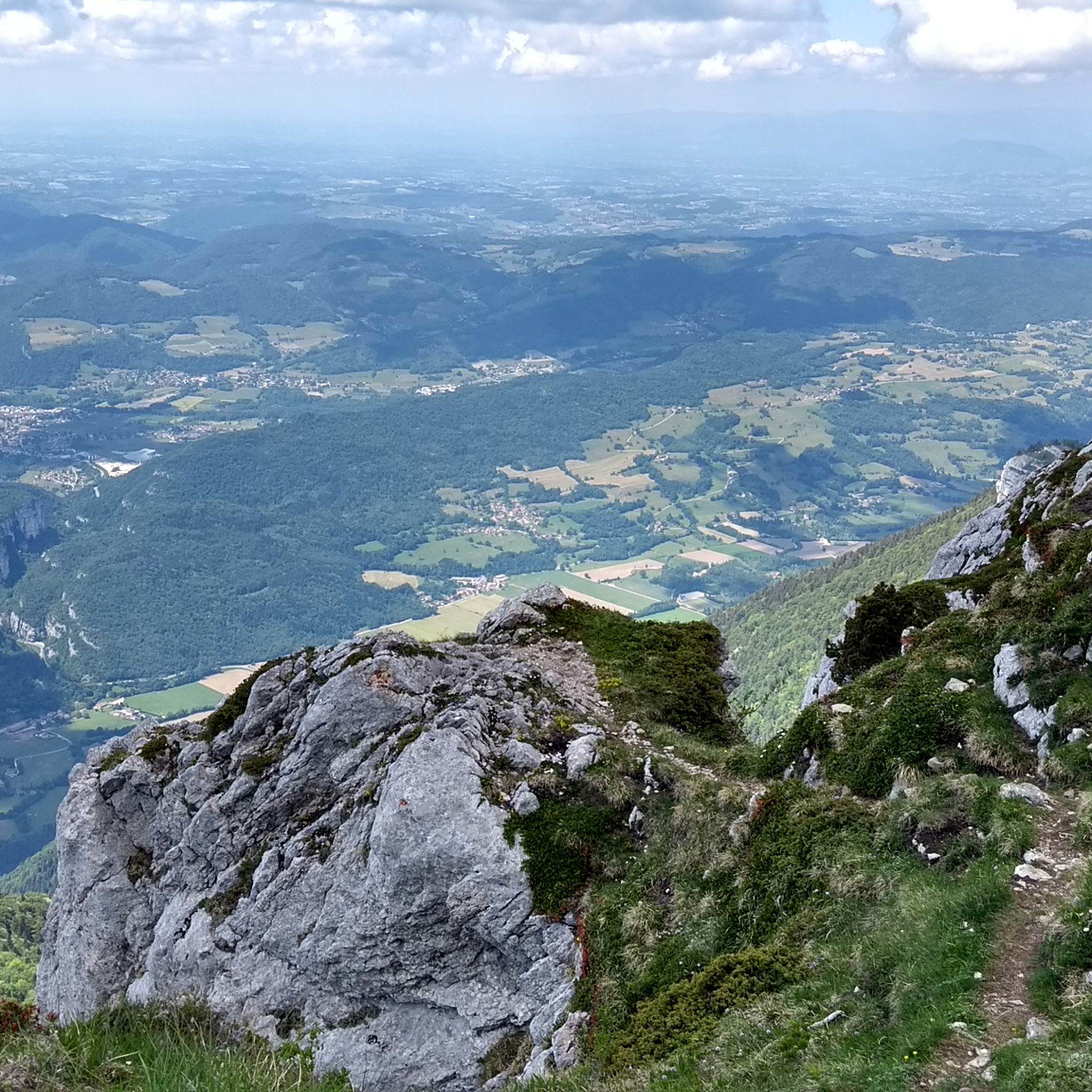
Hiking around Proveysieux

Gravel biking around Proveysieux
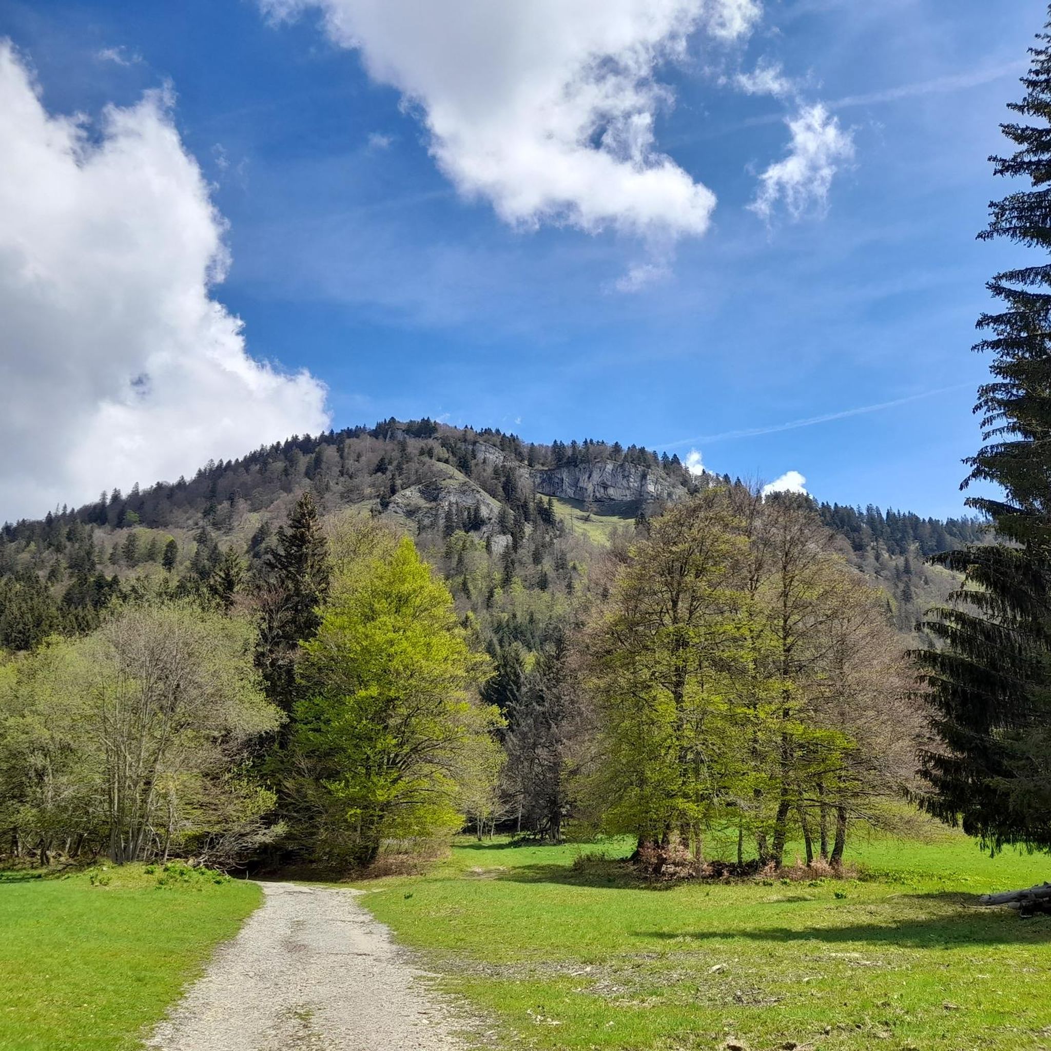
MTB Trails around Proveysieux


Tips from the Community

A bit of gas and a beautiful view of the city
0
0

Favor the climb via Sarcenas, almost no cars
3
0

The climb to the charming Som from the Col de Porte is always a treat. There are some very steep sections, but the view at the top is worth it. Be careful on the descent: uneven road, tight bends, cars.
0
0

Folatière with only 1 "l", sorry... This magnificent block of limestone is perfect for catching your breath and enjoying the scenery. It is not a collapsed block; on the contrary, it belongs to the Urgonian slab that rises higher up to the summit of the mountain. The grooves that sculpt it are due to the subtle differences in the nature and cementing of the grains of the rock (the hollow areas are those that crumble the most under the effect of freezing and thawing). They show that it has bedding, despite its often very massive appearance." extract from Geol-Alp
0
0

Highest summer cheese dairy, perched in the middle of the Charmant Som mountain pasture. Well, okay, it's not really the season...
0
0

Dominating the valley, the Orgeval oratory offers a magnificent view. When the weather permits, the Mont-Blanc massif can be seen in the distance.
1
0
In the climb which leads to the summit of Chamechaude, the vegetation gradually gives way to open terrain which offers beautiful views of the valley.
1
0
Frequently Asked Questions
How many mountaineering routes are available around Proveysieux?
There are over 25 mountaineering routes around Proveysieux, offering a wide range of experiences within the Chartreuse Regional Nature Park. These routes vary in difficulty, from moderate ascents to more challenging, technical trails.
What is the best time of year for mountaineering in Proveysieux?
The best time for mountaineering in Proveysieux is generally from late spring through early autumn (May to October) when the weather is more stable and trails are clear of snow. However, the region also offers opportunities for winter mountaineering, though these require specific equipment and experience due to snow and ice conditions.
Are there any family-friendly mountaineering routes in the area?
While many mountaineering routes around Proveysieux are rated moderate to difficult, some sections or shorter loops within the Chartreuse Regional Nature Park can be suitable for families with older children who have some hiking experience. For example, the Oratoire d'Orgeval – Col de la Chavanette Signpost loop from Chamechaude is rated moderate and offers varied mountainous terrain.
Can I bring my dog on the mountaineering trails?
The Chartreuse Regional Nature Park, where Proveysieux is located, generally allows dogs on trails, but they must be kept on a leash to protect local wildlife, especially during nesting seasons and near grazing animals. Always check specific trail regulations before heading out.
What kind of wildlife might I encounter on the trails?
The Chartreuse Regional Nature Park is rich in biodiversity. On the mountaineering trails, you might spot chamois, marmots, and ibex, particularly in higher alpine areas. The park's diverse flora and fauna are a significant part of the region's natural beauty.
Are there any circular mountaineering routes?
Yes, several circular mountaineering routes are available. A popular option is the Piénom (1615 m) – Charmant Som summit loop from Chamechaude, which offers a rewarding experience through varied landscapes. Another is the Col de la Chavanette Signpost – Charmant Som loop from Col de Porte.
What are some notable natural landmarks or viewpoints along the routes?
The region boasts numerous stunning natural landmarks. You can find breathtaking panoramic views at La Molière Alpine Pasture and Panoramic View. Other significant summits include Dent de Crolles and Charmant Som summit, which offer spectacular vistas of the Chartreuse massif.
What are the typical difficulty levels for mountaineering routes near Proveysieux?
Mountaineering routes near Proveysieux range from moderate to difficult. Approximately 9 routes are classified as moderate, while 16 are considered difficult. These routes often involve significant elevation gain, rocky sections, and can be quite demanding, requiring good physical condition and appropriate gear.
Where can I find parking for mountaineering trailheads?
Parking is generally available near the starting points of many popular trails. For routes like the Le Néron loop, you would typically find parking in Saint-Martin-le-Vinoux. For routes starting from Chamechaude or Le Sappey-en-Chartreuse, designated parking areas are usually present in these villages or at specific trailheads.
Are there any cafes or amenities near the mountaineering routes?
Yes, Proveysieux and nearby villages like Le Sappey-en-Chartreuse and Saint-Égrève offer various amenities. You can find cafes, restaurants, and sometimes small shops for provisions. These villages serve as convenient bases for mountaineers to refuel and relax after their adventures.
Do I need permits for mountaineering in the Chartreuse mountains?
Generally, no specific permits are required for hiking or mountaineering on marked trails within the Chartreuse Regional Nature Park. However, it's always advisable to check with the park authority for any specific regulations, especially if you plan to engage in activities like bivouacking or accessing sensitive natural areas. For more general information on activities in the region, you can visit Grenoble Tourism.
What do other mountaineers enjoy most about the routes in Proveysieux?
The mountaineering routes in Proveysieux are highly rated by the komoot community, with an average score of 4.8 stars from over 20 reviews. Reviewers often praise the dramatic landscapes, the challenging yet rewarding ascents, and the panoramic views of the Chartreuse massif. The diverse terrain, from lush forests to rocky escarpments, is also a frequently mentioned highlight.
Most popular routes around Proveysieux
Most popular attractions around Proveysieux

Get inspired with the komoot mobile app


Explore more
Browse the best Mountain Hikes & Routes in other regions.
