The best MTB trails around Röschlitz
4.5
(258)
1,188
riders
116
rides
Mountain bike trails around Röschlitz are primarily found on and around the Rochlitzer Berg, an area characterized by hills and forested terrain. This region offers a network of singletrack trails designed for downhill riding, incorporating features such as jumps, berms, and drops. The landscape provides varied elevations suitable for different skill levels, from gentle ascents to more challenging descents.
Best mountain bike trails around Röschlitz
- The most popular mountain bike trail is MTB route no. 22: Largue valley loop,…
Last updated: October 11, 2026
4.8
(6)
18
riders
22.1km
01:34
190m
180m
Moderate mountain bike ride. Great for any fitness level. Advanced riding skills necessary.
5.0
(1)
1
riders
9.03km
00:37
100m
100m
Easy mountain bike ride. Great for any fitness level. Suitable for all skill levels.

5.0
(3)
9
riders
47.2km
03:47
570m
570m
Moderate mountain bike ride. Good fitness required. Suitable for all skill levels.
5.0
(3)
3
riders
44.7km
03:32
560m
560m
Moderate mountain bike ride. Good fitness required. Advanced riding skills necessary.
5.0
(4)
18
riders
42.3km
03:15
510m
510m
Moderate mountain bike ride. Good fitness required. Advanced riding skills necessary.
Get access to more routes and recommendations from other explorers.
Already have an account?
Our route recommendations are based on thousands of hikes, rides, and runs completed by other people on komoot.
Start today with a free account
Your next adventure awaits.

Tips from the Community

Altkirch Altkirch is the historic capital of the Sundgau and lies on a striking rocky spur above the valley of the Ill. The town's origins date back to the Middle Ages. The Counts of Ferrette built Altkirch into a fortified town; from 1215 onwards, it was protected by town walls and towers. The characteristic layout, narrow streets, and remnants of the fortifications have been preserved from this medieval town plan to this day. Particularly worth seeing is the Vieille Porte, a former town gate from around 1245. For centuries, Altkirch was an important administrative and commercial center of the Sundgau. After the destructions of the Thirty Years' War, numerous buildings were newly erected. The representative town hall dates from the 18th century, built in 1778 according to plans by the Swabian architect Jean Nissler. In the 19th century, the town continued to develop: alongside its traditional importance as a market and trading place, industrial enterprises emerged, including the well-known Gilardoni brickworks. The 20th century also left its mark. After the First World War, Altkirch became part of the re-Frenchified Alsace. The memory of this period is evident, among other things, at the Vieille Porte, where a Borne Vauthier commemorates the former front line of 1918. The original Altkirch war memorial from 1927 was destroyed during the German occupation in the Second World War; preserved parts were later integrated into a new memorial. Today, Altkirch, with around 6,000 inhabitants, is an important center of the Sundgau. The historic upper town with its old houses, remnants of fortifications, the town hall, and the Sundgau Museum continues to shape the townscape. Source: Ville d’Altkirch – History of the town
0
0
The Dreiländerstein from 1871 stands in the area near Largitzen/Pfetterhouse and commemorates the then border between France, Germany and Switzerland after the Franco-Prussian War and the annexation of Alsace-Lorraine by the German Empire.
0
0

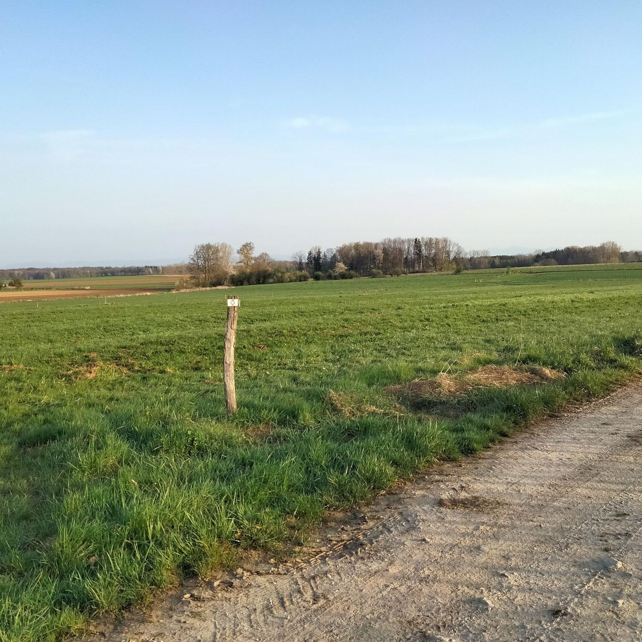
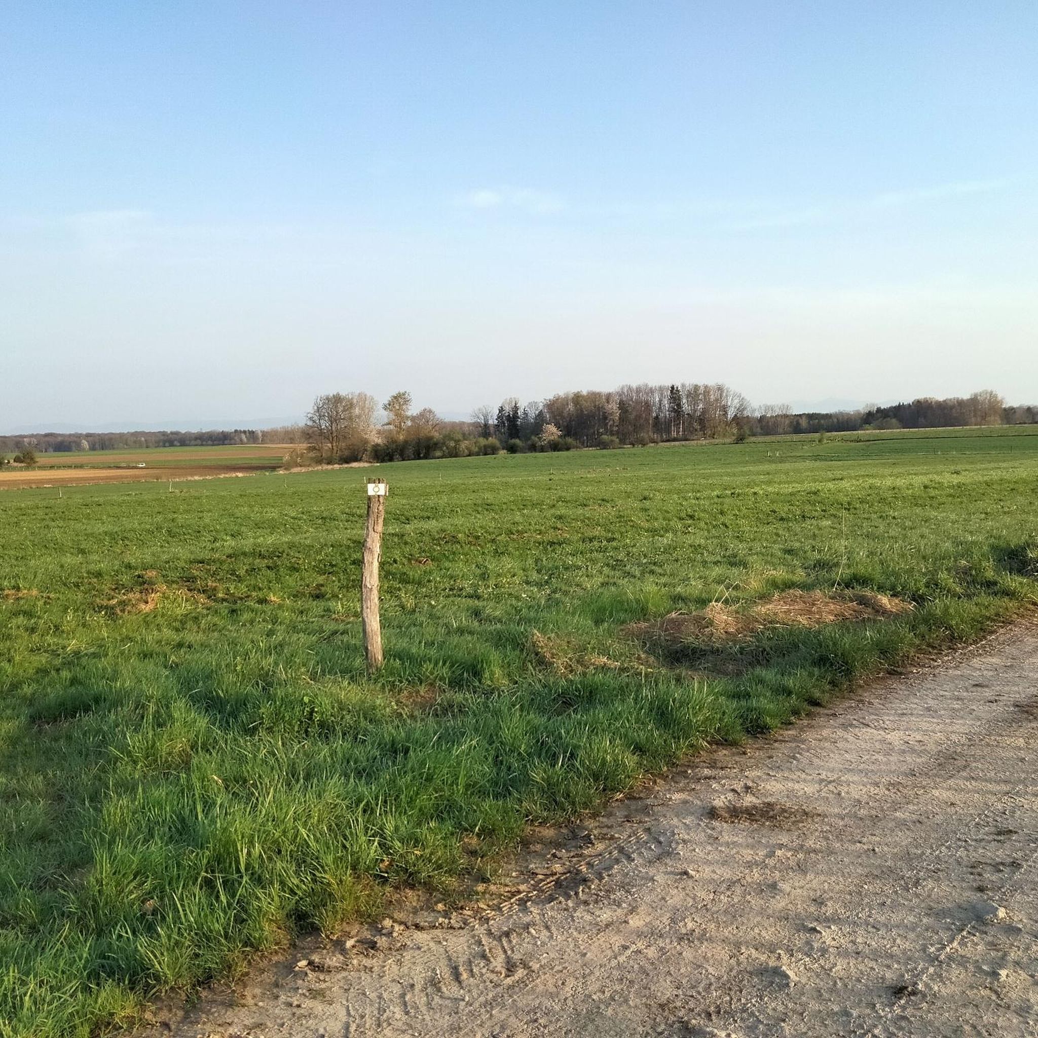
Beautiful cycle path here we are still on the EV6
0
0

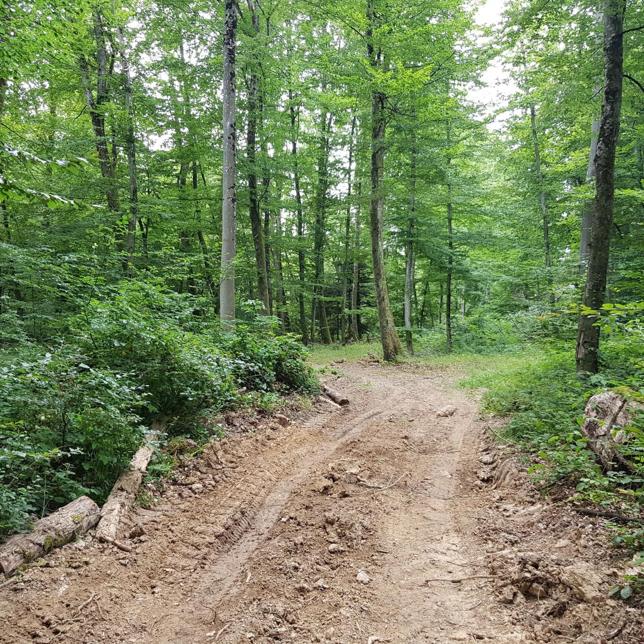
A statue and a few benches arranged in a circle in the woods. Perfect for a short break or snack in the shade.
0
0

No idea why I didn't write anything about this...🤔😅
0
1

This region has hundreds of small fishponds, once created by monks in the Middle Ages. Today they form a patchwork of water, reeds and forest – a paradise for birds, cyclists and those seeking peace and quiet. You cycle along quiet banks, see herons take flight and enjoy local specialities such as fried carp along the way.
7
0
In and around Hindlingen you have a good chance of spotting storks anyway, especially in spring and summer, but here you are certain. These elegant birds nest on roofs and poles, and forage in the wet meadows around the village. A nice moment to stop and enjoy this living symbol of Alsace.
10
0
Right next to the Largue cycle path lies this cosy nature centre in Altenach. You will find a short educational walk, a playground, picnic benches and a small exhibition about the nature of Alsace. Ideal to stretch your legs, have a bite to eat or go exploring with children. Free admission and open on Sunday afternoons in the summer months.
7
1
Frequently Asked Questions
How many mountain bike trails are there around Röschlitz?
There are over 120 mountain bike trails around Röschlitz, offering a wide range of options for different skill levels. The area is particularly known for its trails on and around the Rochlitzer Berg.
What types of mountain bike trails can I find in Röschlitz?
Röschlitz offers a diverse network of trails, primarily featuring blue difficulty singletrack designed for downhill riding. You'll find routes with features like jumps, gap jumps, berms, and drops, alongside more gentle paths. The trails range from easy to difficult, with 23 easy, 77 moderate, and 20 difficult routes available.
Are there any family-friendly mountain bike trails in Röschlitz?
Yes, Röschlitz has several family-friendly options. For an easier ride, consider MTB track no. 19: The stork tour, which is 5.6 miles (9.0 km) long with gentle gradients and open landscapes, suitable for a relaxed ride with the family.
Can I ride e-bikes on the mountain bike trails around Röschlitz?
Yes, many routes around Röschlitz are e-bike friendly. The region's trails, especially those on the Rochlitzer Berg, are suitable for e-mountain bikes, allowing riders to enjoy the varied terrain and elevation changes with assistance.
What are some notable landmarks or attractions to see while mountain biking in Röschlitz?
While mountain biking, you can explore several interesting points. The Largue Valley Cycle Path offers scenic views, and the Three Powers Boundary Stone is a unique historical marker. You might also pass by the historic Chapelle Saint-Martin or catch glimpses of the Château du Morimont.
Are there any circular mountain bike routes in the area?
Yes, many of the mountain bike trails around Röschlitz are designed as loops. An example is the Chapelle Saint-Martin – Ballersdorf Viaduct loop from Friesen, a 29.3 miles (47.2 km) trail that takes you through varied forest and open areas.
What do other mountain bikers say about the trails in Röschlitz?
The mountain bike trails in Röschlitz are highly regarded by the komoot community, with an average rating of 4.5 stars from over 180 reviews. Riders often praise the varied terrain, the well-designed singletrack descents, and the overall quality of the routes on and around the Rochlitzer Berg.
Are there any longer, more challenging mountain bike routes for experienced riders?
For experienced riders seeking a longer challenge, the Bonfol–Pfetterhouse Rail Trail – Largue Golf Course loop from Florimont is a difficult 39.0 miles (62.8 km) route. It features significant elevation changes and varied terrain, typically taking over 2 hours 45 minutes to complete.
What is the best time of year to go mountain biking in Röschlitz?
The best time to go mountain biking in Röschlitz is generally during the spring, summer, and autumn months when the weather is mild and the trails are dry. While some trails might be accessible in winter, conditions can be challenging due to snow or ice, especially on downhill sections.
Where can I find parking for mountain biking trails in Röschlitz?
Specific parking information varies by trail. However, given the popularity of the Rochlitzer Berg for mountain biking, you can typically find designated parking areas near trailheads or in nearby villages. It's advisable to check the specific route details on komoot for recommended starting points and parking options.
Are there any mountain bike routes that pass by lakes or water features?
Yes, some routes in the broader Röschlitz area offer views of water features. For example, the Vendlincourt Pond – Three Powers Boundary Stone loop from Courtelevant passes by the Vendlincourt Pond, offering a scenic element to your ride.
Most popular routes around Röschlitz
Most popular attractions around Röschlitz

Get inspired with the komoot mobile app


Explore more
Browse the best MTB trails in other regions.
