The best running trails around Montclar-Sur-Gervanne
4.4
(94)
2,264
runners
206
runs
Jogging routes around Montclar-Sur-Gervanne are set within the mountainous terrain of the Drôme department in southeastern France. The region features a diverse landscape, including prominent peaks like Les Trois Becs, which are part of the Drôme massif. Montclar-sur-Gervanne itself is situated on a rounded hill, providing natural vantage points over the Gervanne Valley. The area is connected to the Vercors National Park, offering an extensive network of paths suitable for running, alongside natural monuments and mountain passes.
Best jogging routes…
Last updated: July 1, 2026
20
runners
7.82km
00:53
190m
190m
Moderate run. Good fitness required. Mostly paved surfaces. Suitable for all skill levels.
5.0
(1)
11
runners
8.56km
00:56
170m
170m
Moderate run. Good fitness required. Mostly paved surfaces. Suitable for all skill levels.

Sign up for free
3.0
(1)
7
runners
9.74km
01:01
80m
80m
Moderate run. Good fitness required. Mostly paved surfaces. Suitable for all skill levels.
5
runners
10.8km
01:18
230m
240m
Moderate run. Good fitness required. Mostly paved surfaces. Suitable for all skill levels.
5
runners
9.07km
01:01
220m
220m
Moderate run. Good fitness required. Mostly paved surfaces. Suitable for all skill levels.
Get access to more routes and recommendations from other explorers.
Sign up for free
Already have an account?
Our route recommendations are based on thousands of hikes, rides, and runs completed by other people on komoot.
Start today with a free account
Your next adventure awaits.
Login or Signup

Tips from the Community

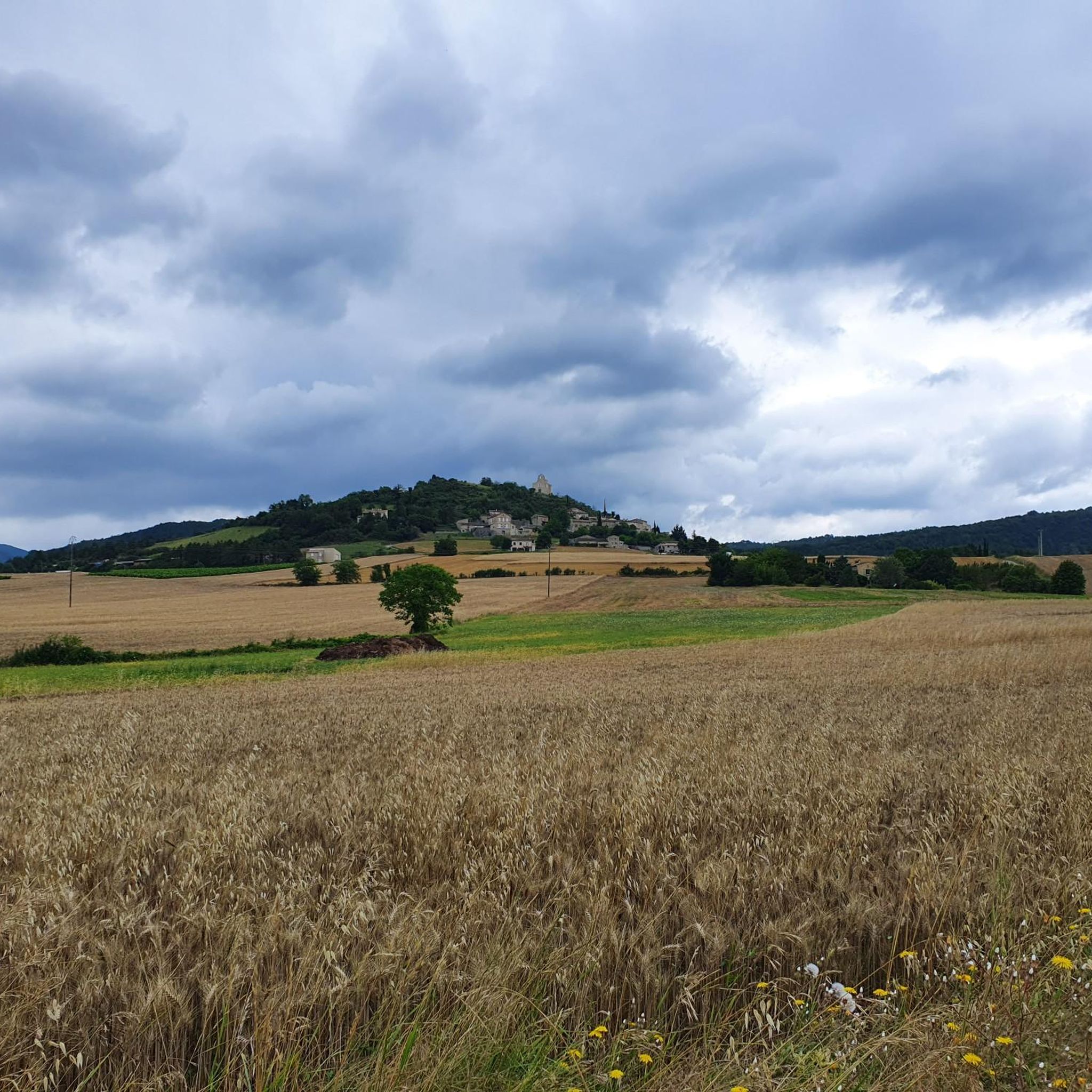
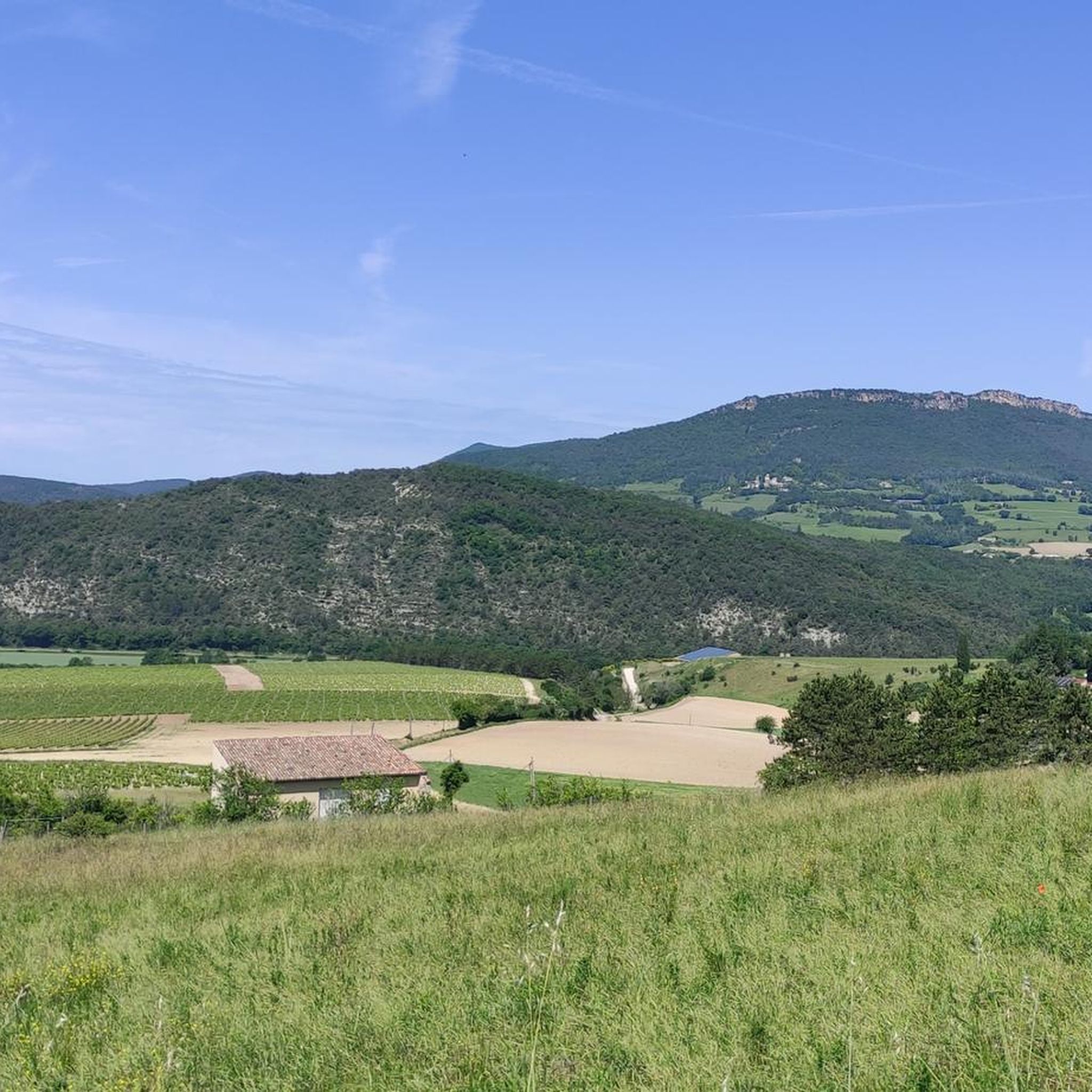
Just a fantastic view
0
0

The best view you have, if you run something across the field and then look directly from the abyss
0
0
Frequently Asked Questions
How many running routes are available around Montclar-Sur-Gervanne?
There are over 180 running routes available in the Montclar-Sur-Gervanne area. These include a wide variety of options, from shorter, easier jogs to more challenging trail runs through the mountainous terrain.
What is the general difficulty level of running trails in this region?
The running trails around Montclar-Sur-Gervanne offer a diverse range of difficulties. While there are a few easy routes, the majority are classified as moderate (around 96 routes) or difficult (around 87 routes), reflecting the area's mountainous landscape and elevation changes. This makes it suitable for both casual joggers and experienced trail runners.
Are there any easy running routes suitable for beginners in Montclar-Sur-Gervanne?
Yes, there are several easy running routes perfect for beginners or those looking for a less strenuous jog. For instance, the region research mentions Le Tour de Saint Léger, a 4.1 km route with 110 meters of elevation gain, featuring a mix of flat sections and small ascents through a beech forest. This trail is ideal for those new to off-road running.
What do other runners say about the trails in Montclar-Sur-Gervanne?
The running routes in Montclar-Sur-Gervanne are highly rated by the komoot community, with an average score of 4.5 stars from over 70 reviews. More than 2000 runners have used komoot to explore the varied terrain, often praising the stunning natural beauty and diverse landscapes.
Are there any circular running routes in Montclar-Sur-Gervanne?
Yes, many of the running routes in the area are circular, allowing you to start and finish at the same point. A popular option is the Running loop from Montclar-sur-Gervanne, which covers 10.3 km with significant elevation changes, offering a rewarding experience.
What kind of landmarks or natural features can I expect to see along the running routes?
The running routes in Montclar-Sur-Gervanne offer breathtaking views and pass by significant natural and historical landmarks. You can encounter prominent peaks like Le Veyou, part of the majestic Les Trois Becs, and Colombe Rock, all offering panoramic vistas. Historically, routes may lead you past sites like the Château de Vachères or the preserved 14th-century village wall of Montclar-sur-Gervanne.
Are there any running routes that pass by historical castles or ruins?
Yes, you can combine your run with a visit to historical sites. The Château de Vachères loop from Montclar-sur-Gervanne is a 10 km trail that leads directly past the magnificent Château de Vachères. Another option is the Les Châteaux loop from Suze, which explores the area's rich history.
Are there any running trails with views of the Drôme valley?
Absolutely. Many routes offer stunning views of the Drôme valley. For example, the Running loop from Val Drôme Soleil is an 8.5 km path that provides excellent views of the valley and local landscapes. The region's elevated position, including Montclar-sur-Gervanne itself on a rounded hill, naturally provides many vantage points.
Can I find running routes that are suitable for families with children?
While specific 'family-friendly' jogging routes are not explicitly detailed, the presence of easier trails like Le Tour de Saint Léger suggests options suitable for families. These shorter routes with less elevation gain, often through forests, can be a good starting point for families looking to enjoy a run together. Always check the route details for distance and elevation to ensure it matches your family's ability.
Is there public transport available to reach the running trailheads in Montclar-Sur-Gervanne?
Public transport options directly to specific trailheads in Montclar-Sur-Gervanne can be limited due to its rural, mountainous setting. It's generally recommended to travel by car to access the various starting points for running routes. For detailed information on regional transport, you might consult the local tourism office or Drôme Tourism.
Are there any waterfalls near the running routes in Montclar-Sur-Gervanne?
Yes, the scenic Chute de la Druise Waterfall is a notable natural attraction in the vicinity of Montclar-Sur-Gervanne. While not directly on a specific running route listed, it can be incorporated into a longer run or visited as a beautiful post-jog exploration, offering a refreshing natural spectacle.
What is the best time of year for running in Montclar-Sur-Gervanne?
The region's mountainous terrain makes spring and autumn particularly pleasant for running, with milder temperatures and vibrant natural scenery. Summer can be warm, so early morning or late afternoon runs are advisable. Winter running is possible, but some higher elevation trails might be affected by snow or ice, requiring appropriate gear and caution.
Most popular routes around Montclar-Sur-Gervanne
Most popular attractions around Montclar-Sur-Gervanne

Get inspired with the komoot mobile app


Explore more
Browse the best Running Trails & Routes in other regions.
