The best road cycling routes around Saint-Maurice-Sur-Moselle
4.6
(658)
26,843
riders
14
rides
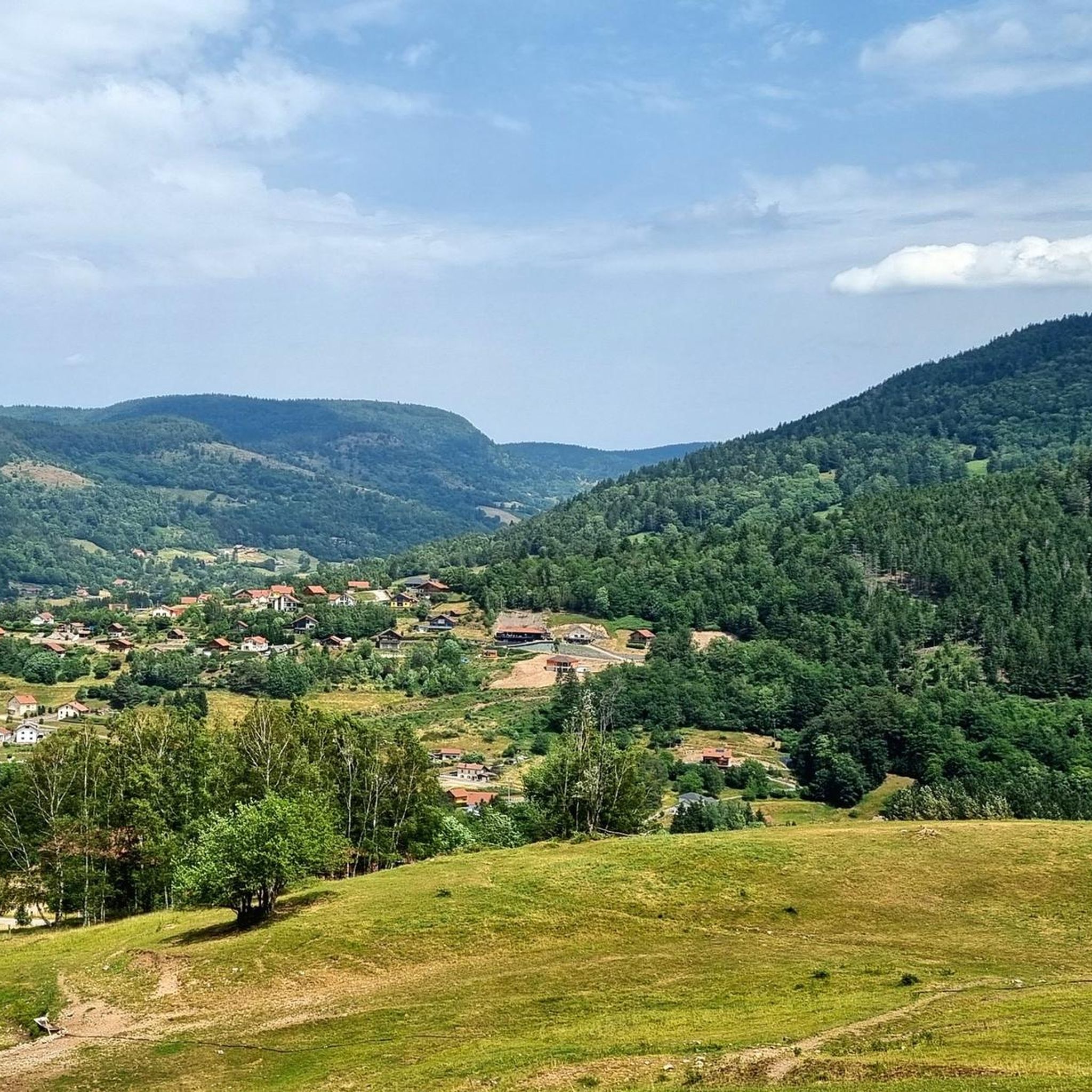
Road cycling around Saint-Maurice-Sur-Moselle offers routes through the Vosges Massif and the Ballons des Vosges Regional Natural Park. The region features mountainous landscapes with altitudes ranging from 550 to 1250 meters, dense forests of fir, spruce, and beech, and the upper Moselle valley. Cyclists encounter significant elevation changes and diverse scenery, including high-altitude lakes and panoramic viewpoints. This environment provides both challenging climbs and scenic rides on paved surfaces.
Best road cycling routes around Saint-Maurice-Sur-Moselle
- The most popular road cycling…
Last updated: October 9, 2026
4.7
(26)
1,047
riders
97.9km
05:49
2,410m
2,400m
Hard road ride. Very good fitness required. Some segments of this route may be unpaved and difficult to ride.
4.7
(22)
795
riders
Moderate road ride. Good fitness required. Mostly well-paved surfaces and easy to ride.

4.8
(13)
430
riders
59.7km
02:59
880m
880m
Moderate road ride. Good fitness required. Mostly well-paved surfaces and easy to ride.
5.0
(1)
94
riders
109km
05:56
2,130m
2,120m
Hard road ride. Very good fitness required. Mostly well-paved surfaces and easy to ride.
4.8
(6)
112
riders
Moderate road ride. Good fitness required. Mostly well-paved surfaces and easy to ride.
Get access to more routes and recommendations from other explorers.
Already have an account?
Our route recommendations are based on thousands of hikes, rides, and runs completed by other people on komoot.
Start today with a free account
Your next adventure awaits.
Popular around Saint-Maurice-Sur-Moselle

Legendary passes of the Tour de France

European Divide Trail — 7,600 km across the continent

Thatches, lakes and forests – Tour des Ballons des Vosges

From the Vosges to the Jura mountains – Hexatrek, le Grand Est
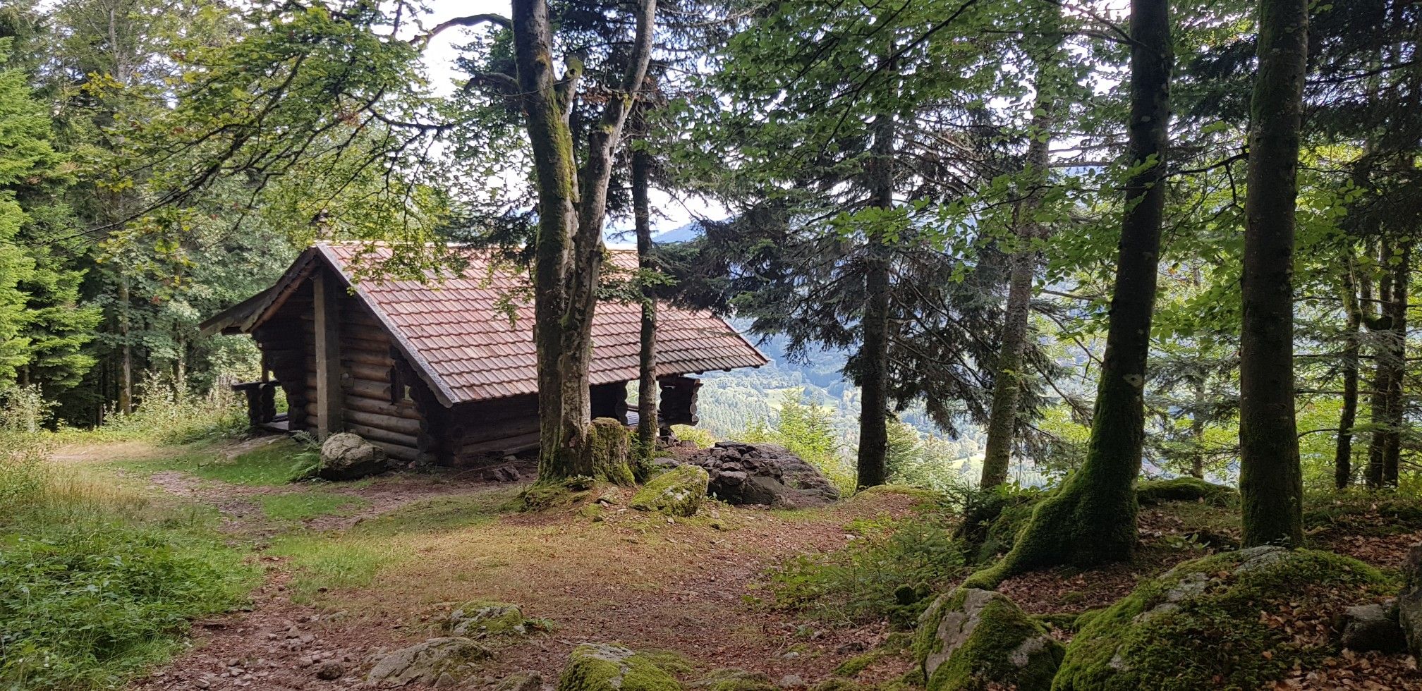
Hiking for Ballon lovers – Tour du Ballon d'Alsace in France
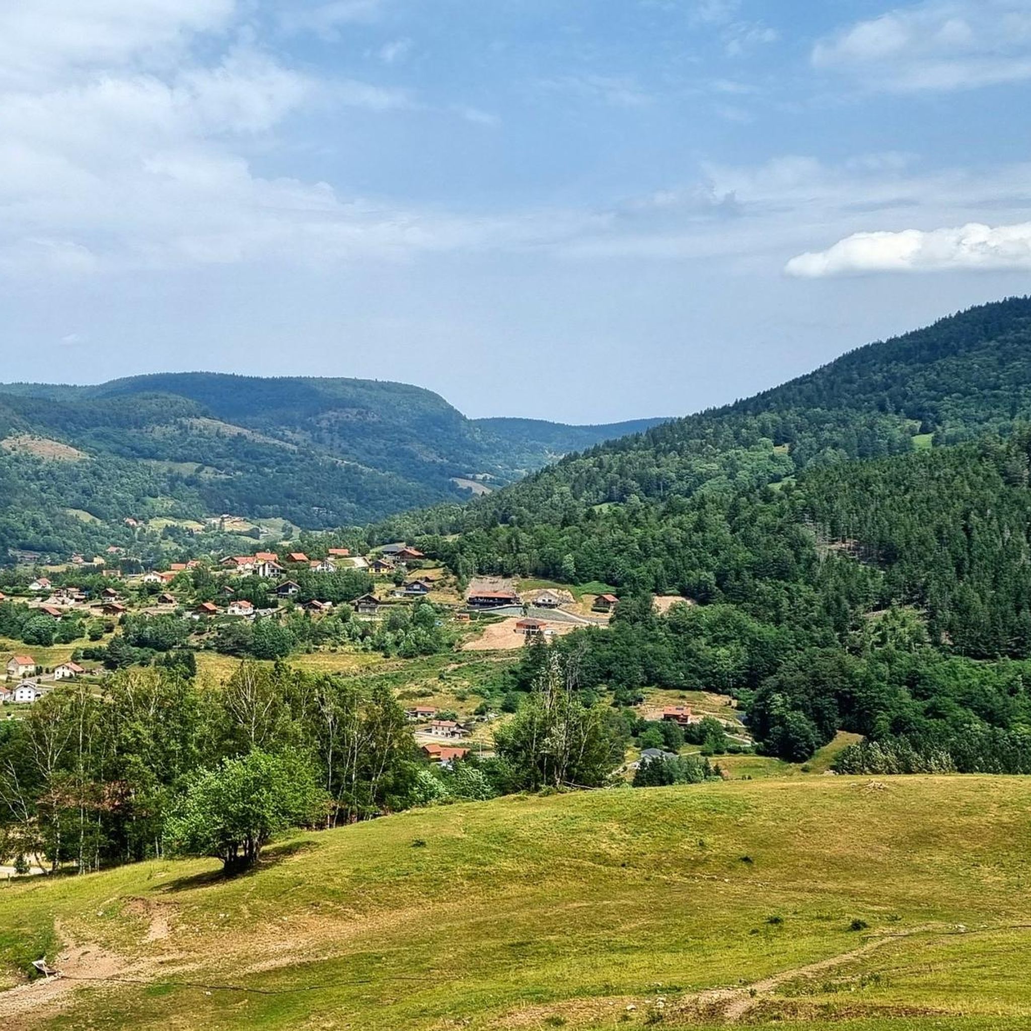
Hiking around Saint-Maurice-Sur-Moselle
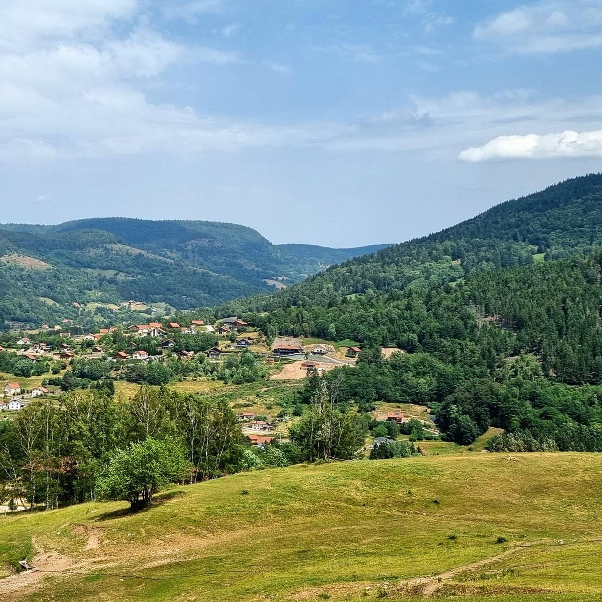
Cycling around Saint-Maurice-Sur-Moselle
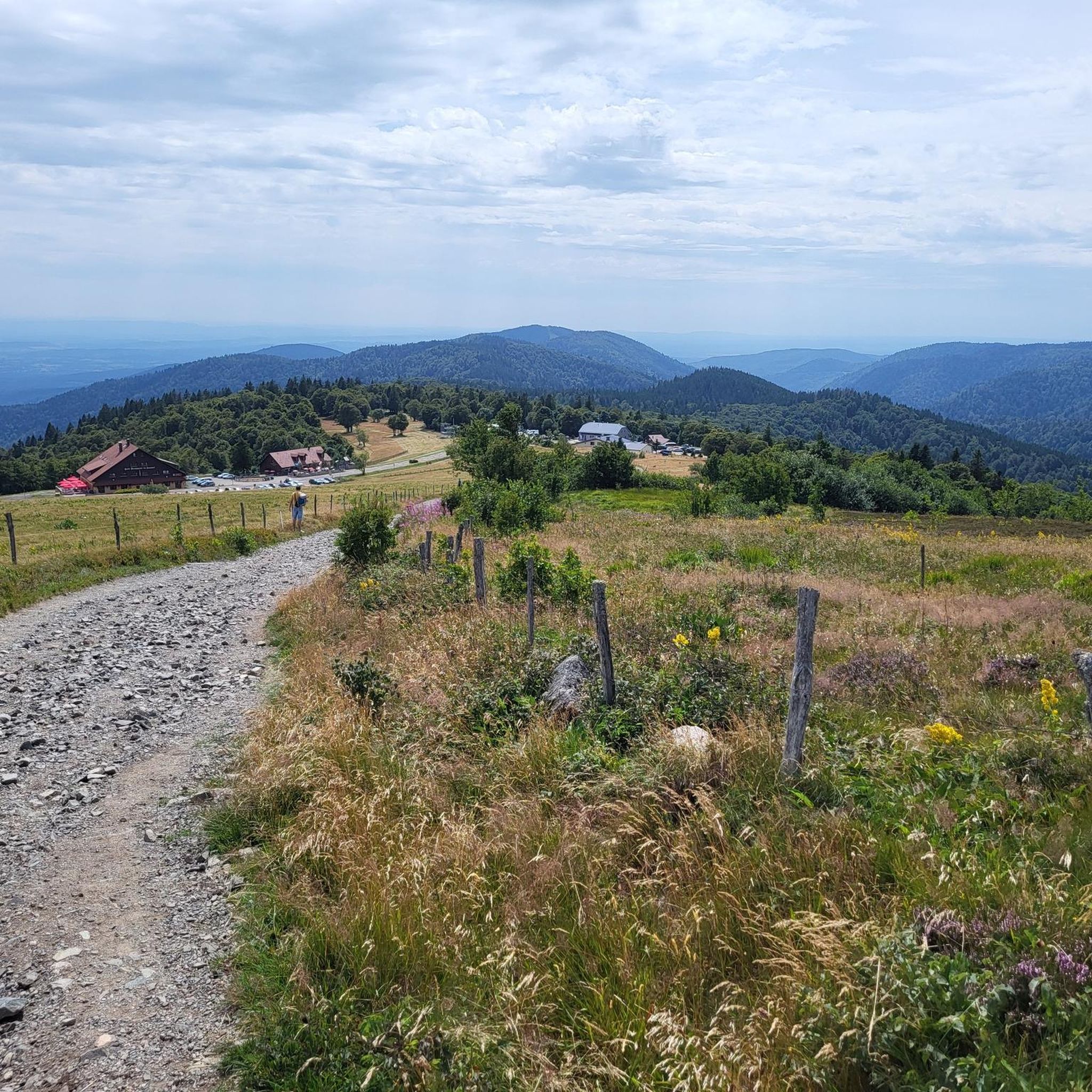
Running Trails around Saint-Maurice-Sur-Moselle
MTB Trails around Saint-Maurice-Sur-Moselle
Gravel biking around Saint-Maurice-Sur-Moselle
Other adventures around Saint-Maurice-Sur-Moselle


Tips from the Community

When you drive from the Route des Crêtes towards Le Grand Ballon, you pass the Col du Haag (1233 m) almost unnoticed. Yet, this pass marks a special point on the southern flank of the highest mountain in the Vosges. Here, steep roads from the Thurdal leave the wooded slopes and reach the open heights of the massif. From the col, a typical Vosges landscape unfolds with mountain meadows, scattered farms, and sweeping views. The proximity of the Grand Ballon is felt everywhere: the imposing summit towers above the pass and forms the natural goal of the final climbing kilometers. For cyclists, the Col du Haag is mainly known as the point where difficult climbs from the valleys converge before the road continues to rise to the highest point of the Vosges.
4
0
Le Markstein (1184 m) is meer dan alleen een kruispunt op de Route des Crêtes. Het is echter een echte bergpas en het hoogste punt van de oversteek tussen het Lauch- en Thurdal. Het ligt in het hart van het Vogezenmassief, midden een populair wintersportgebied dat nauw verbonden is met de Grand Ballon
4
0
There are no restaurants or cafes at the summit of the Col de Bramont itself. However, the pass serves as a strategic junction. From the summit, you can directly connect to the famous Route des Crêtes (the D431), which links the main mountain peaks of the Vosges. This allows you to easily cycle or hike to larger attractions nearby, such as the Col de la Schlucht, the Hohneck, or the Grand Ballon. The climb is enjoyable due to its 12 hairpin bends on the southern flank (Kruth).
5
0
The climb starts relatively calmly; the first 4.5 kilometers hardly show any significant incline, while the road runs slightly undulating along the Lac de Kruth-Wildenstein reservoir. Only after that does the real climbing work begin over a distance of about 3.5 to 4 kilometers. From that moment on, the road winds its way up via 12 characteristic hairpin bends. The gradient during this section is very constant and fluctuates almost continuously around 5 to 6%, making the climb ideal for finding a steady rhythm. The road is well-asphalted and leads entirely through a dense pine forest. This allows you to cycle delightfully in the shade, although due to the dense vegetation at the top and during the climb, there are few sweeping views of the valley. Once at the top (955m), you can descend directly to the north side towards La Bresse or join the well-known Route des Crêtes to extend the ride to, for example, the Col de la Schlucht or the Grand Ballon.
4
0
The Col d' Oderen is an 8.2 kilometer climb. This is a category 3 climb. It is located in Cornimont, Lorraine, France. The average gradient of this climb is 3.9% with a maximum of 6%. The Col d' Oderen rises from 573 meters at the start to 885 meters at the top, with a total of 312 meters of elevation gain.
5
0
As soon as you enter the village centre of Le Ménil, the road noticeably steepens. From here, it is still 2.1 kilometers to the top. This section is very regular and has no surprises or steep outliers. The percentages constantly hover around 4.1%. You cover the last 86 meters of altitude here to the highest point at 621 meters.
1
0
Smooth, even pace between Le Ménil and Cornimont, wide road and mild gradients — ideal as a connecting climb in the southern Vosges massif.
1
0
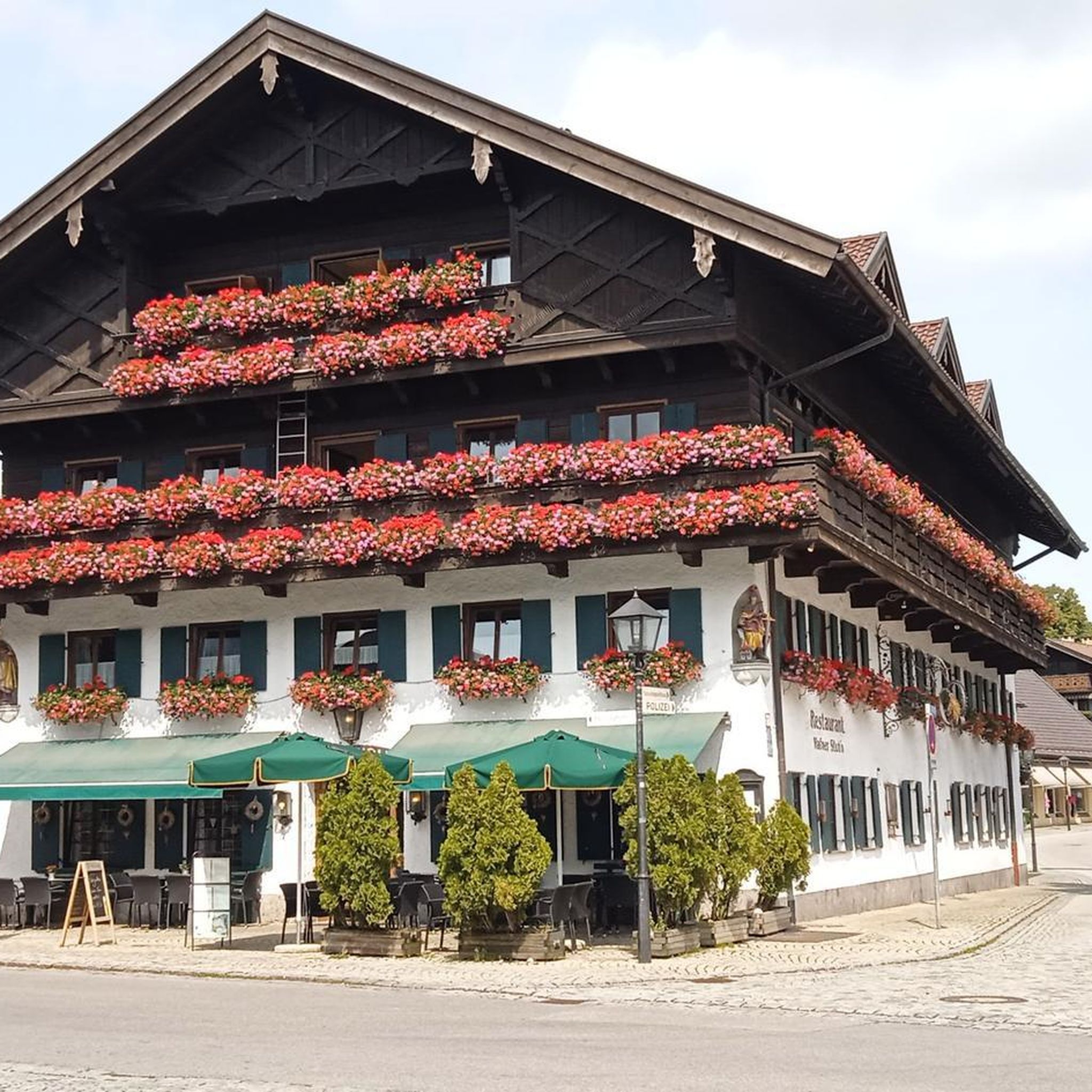
The center of Le Thillot lies in the valley of the Moselle and forms a small but lively village heart. On the Place du 8 Mai stands the 19th-century Église Saint-Jean-Baptiste, surrounded by bakeries, cafés, and local shops. It is a compact, well-organized center with a mix of Vosges architecture, daily amenities, and a quiet village atmosphere. The bakery facade caught my attention.
5
0
Frequently Asked Questions
What kind of road cycling routes can I expect around Saint-Maurice-Sur-Moselle?
The region offers a diverse range of road cycling routes, characterized by mountainous landscapes, dense forests, and the picturesque upper Moselle valley. You'll find everything from moderate rides with significant elevation changes to challenging climbs over famous passes, all on paved surfaces. The area is part of the Vosges Massif and the Ballons des Vosges Regional Natural Park, ensuring scenic beauty throughout your ride.
Are there routes suitable for advanced road cyclists looking for a challenge?
Absolutely. Saint-Maurice-Sur-Moselle is renowned for its challenging climbs, including several 'mythical passes' that have featured in the Tour de France. Routes like the Grand Ballon – Markstein loop (96.6 km, 2,390m elevation gain) and the Ballon d'Alsace – Col du Ballon d'Alsace loop (78.3 km, 1,465m elevation gain) offer significant ascents and rewarding experiences for experienced riders. The region is home to peaks like the Grand Ballon (1424m) and the challenging gradients of La Planche des Belles Filles.
What are some of the most scenic viewpoints or natural features along the road cycling routes?
The routes offer numerous opportunities for breathtaking views. You can expect panoramic vistas over the Rhine valley, and on clear days, even glimpses of the Alps, especially from higher elevations like the Grand Ballon. Natural features include high-altitude lakes such as Lac des Perches and Lake Alfeld. The famous Route des Crêtes also provides extensive views as it winds through peaks and valleys.
How many road cycling routes are available in the Saint-Maurice-Sur-Moselle area?
There are over 15 distinct road cycling routes available around Saint-Maurice-Sur-Moselle, catering to various skill levels. These include 2 easy routes, 6 moderate routes, and 7 difficult routes, ensuring options for every cyclist.
Are there any family-friendly or easier road cycling options?
Yes, while the region is known for its challenging climbs, there are also easier options. The Hautes Vosges Greenway is a multi-activity track offering 53 km of secure, less strenuous paths through a preserved environment, winding along the valleys of the Moselle and Moselotte. For a moderate road cycling experience, consider routes like the Col du Page Memorial – Voie verte along the Moselle loop (51.6 km, 804m elevation gain).
What is the best time of year to go road cycling in Saint-Maurice-Sur-Moselle?
The best time for road cycling in Saint-Maurice-Sur-Moselle is generally from late spring to early autumn (May to October). During these months, the weather is typically more favorable, with milder temperatures and less chance of snow on the higher passes. Summer offers the warmest conditions, ideal for tackling the longer, higher-altitude routes.
Are there any circular road cycling routes available?
Yes, many of the routes around Saint-Maurice-Sur-Moselle are designed as loops, allowing you to start and finish at the same point. Examples include the popular Grand Ballon – Markstein loop and the Col du Bramont loop, providing convenient options for exploring the region.
What do other road cyclists say about the routes in Saint-Maurice-Sur-Moselle?
The road cycling routes in Saint-Maurice-Sur-Moselle are highly regarded by the komoot community, with an impressive average rating of 4.8 stars from over 180 reviews. Cyclists frequently praise the region's stunning mountainous landscapes, the challenge of its famous passes, and the overall quality of the paved roads.
Are there any notable landmarks or attractions to see while cycling?
Yes, the region is rich in landmarks. You can cycle past historical sites like the Ballon d'Alsace, a prominent peak and the first pass conquered in the Tour de France in 1905. Other notable points include the Col du Page Memorial and various mountain passes that offer both historical significance and stunning views.
Can I find waterfalls along the cycling routes in the area?
While the primary focus of road cycling routes is often on mountain passes and scenic vistas, the broader region around Saint-Maurice-Sur-Moselle is home to several beautiful waterfalls. You might find opportunities to visit attractions like the Rummel Waterfalls or the Sentier Michel Waterfall, which are popular highlights in the area.
What is the typical elevation gain for road cycling routes here?
The elevation gain varies significantly depending on the route's difficulty. Easy routes will have minimal gain, while moderate routes can feature several hundred meters of ascent. Difficult routes, such as the Grand Ballon – Markstein loop, can involve over 2,300 meters of elevation gain, reflecting the mountainous terrain of the Vosges Massif.
Most popular routes around Saint-Maurice-Sur-Moselle
Most popular attractions around Saint-Maurice-Sur-Moselle

Get inspired with the komoot mobile app


Explore more
Browse the best Road cycling routes in other regions.
