The best running trails around Dolleren
4.4
(52)
2,980
runners
195
runs
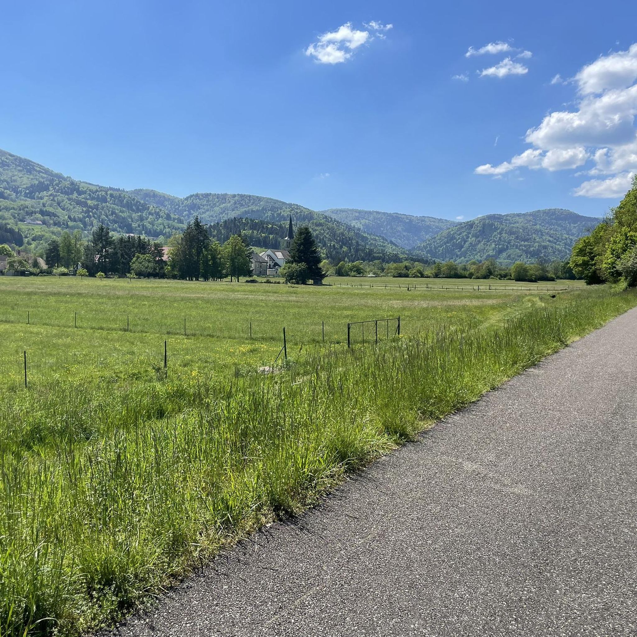
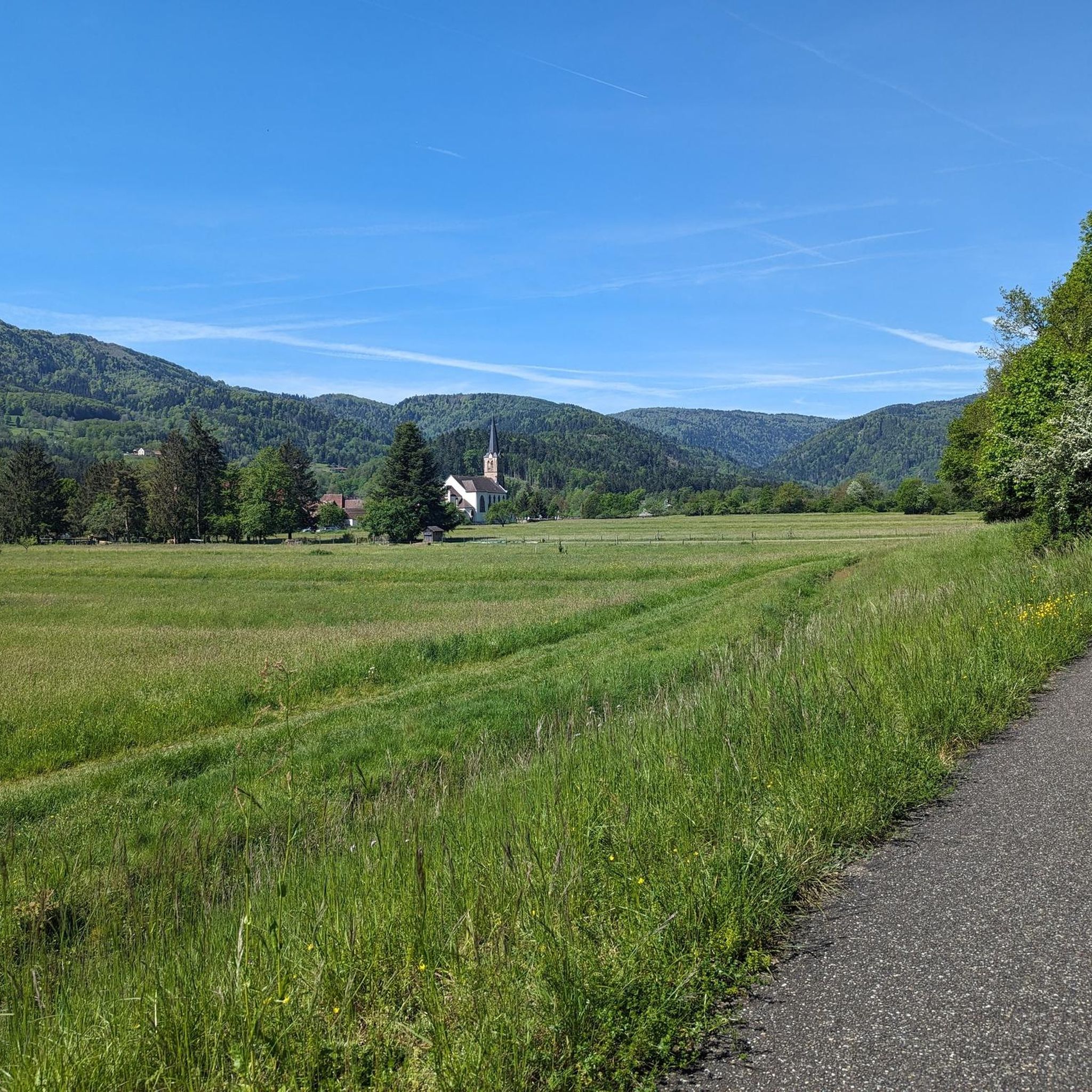
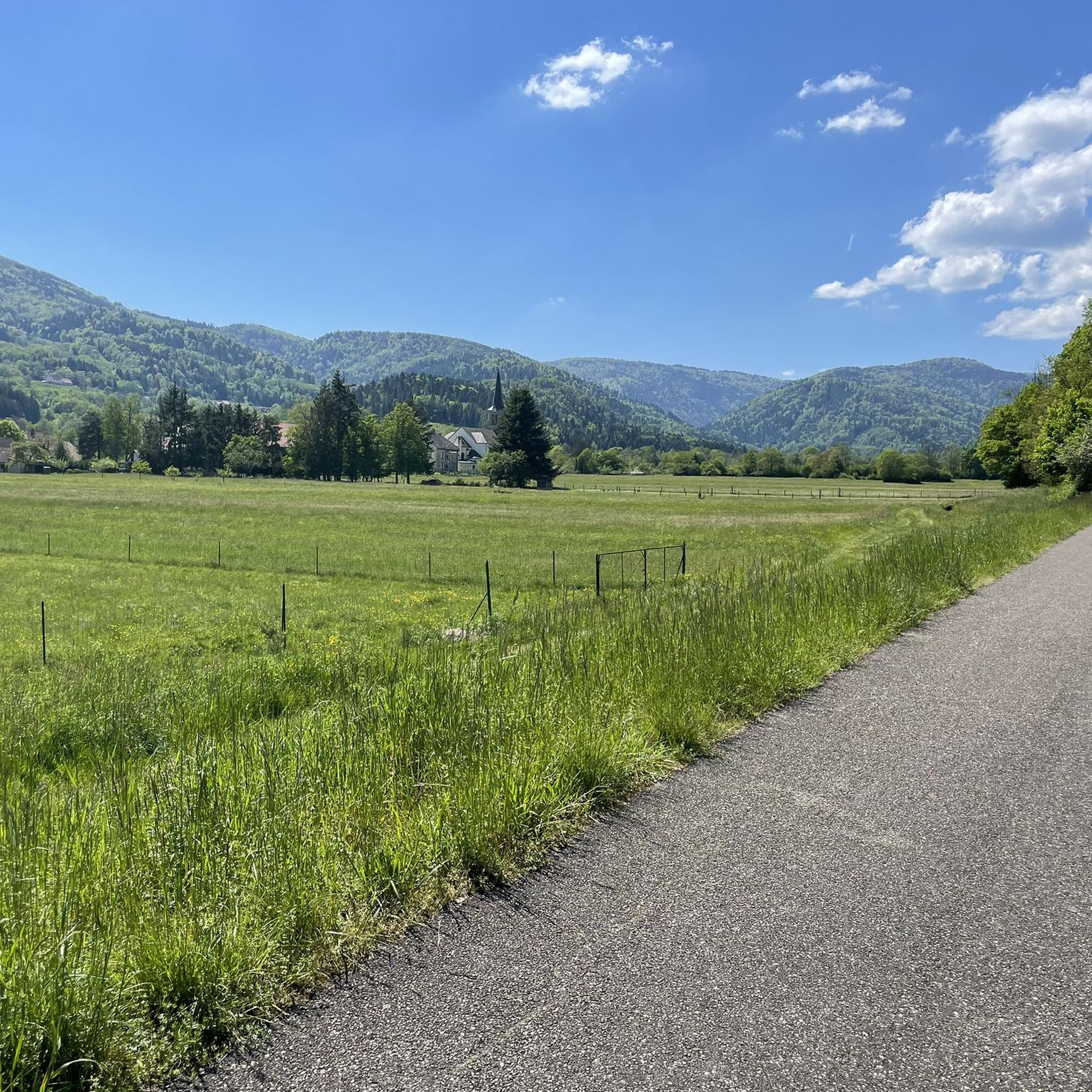
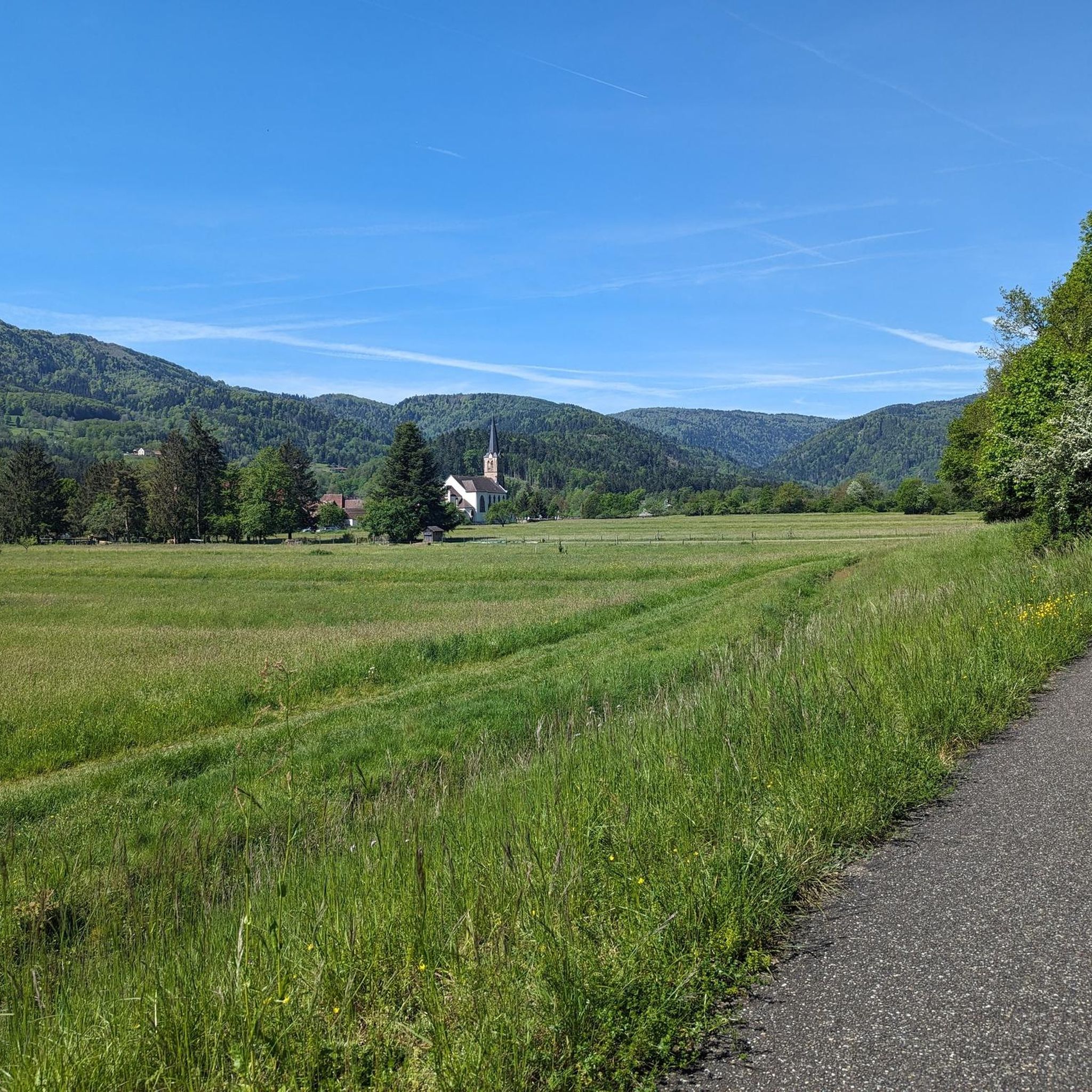
Jogging routes around Dolleren offer a diverse natural environment, situated between the hills of the Vosges and the plain of Alsace. The region features varied terrain, including winding paths through dense forests and routes along the Doller River. Its elevation ranges from 458 to 1,075 meters, providing options from gentle inclines to more challenging climbs. Proximity to the Ballons des Vosges Regional Natural Park further enhances the area's appeal for outdoor activities.
Best jogging routes around Dolleren
- The most popular…
Last updated: July 5, 2026
24
runners
16.6km
02:29
740m
740m
Hard run. Very good fitness required. Mostly accessible paths. Some sure footedness required.
16
runners
16.8km
02:37
770m
770m
Hard run. Very good fitness required. Sure-footedness, sturdy shoes and alpine experience required.

Sign up for free
16
runners
26.0km
03:51
1,100m
1,100m
Hard run. Very good fitness required. Sure-footedness, sturdy shoes and alpine experience required.
4.0
(1)
13
runners
8.98km
00:58
60m
60m
Moderate run. Good fitness required. Mostly paved surfaces. Suitable for all skill levels.
3.0
(1)
15
runners
18.5km
02:44
860m
860m
Hard run. Very good fitness required. Sure-footedness, sturdy shoes and alpine experience required.
Get access to more routes and recommendations from other explorers.
Sign up for free
Already have an account?
Our route recommendations are based on thousands of hikes, rides, and runs completed by other people on komoot.
Start today with a free account
Your next adventure awaits.
Login or Signup


Tips from the Community

Beautiful lake, quietly located, suitable for swimming.
0
0


Beautiful hike and beautiful viewpoint
0
0
A not very well-known spot, but nice to discover, especially when you continue the path (see photo), because in autumn, the scenery is worthy of Lord of the Rings.
0
0
Superb little unguarded cabin. Ideal in summer. Not much space and increasingly popular. Please take care of it and take out your rubbish. Be careful, it gets smoky quickly.
0
0
Too bad the dam is currently under construction.
0
0

This shelter is one of 10 log cabins in the Doller Valley. Located near the GR5, at the Chaume de Haute Bers, not far from Rouge Gazon and Lac des Perches.
0
0
Located at an altitude of 800 meters.
0
0
Frequently Asked Questions
How many running routes are available in Dolleren?
Dolleren offers a wide variety of running options, with nearly 200 routes available for exploration. These range from easy paths to more challenging trails, catering to different fitness levels.
What kind of terrain can I expect on the jogging trails around Dolleren?
The terrain around Dolleren is quite diverse, featuring winding paths through dense forests, hilly landscapes, and picturesque routes along the Doller River. You'll find options from gentle inclines to more challenging climbs, with elevations ranging from 458 to 1,075 meters.
Are there easy or beginner-friendly jogging routes in Dolleren?
Yes, Dolleren has options suitable for beginners. For instance, the Senkel circuit on the heights of Oberbruck is an easy 4.63 km circuit offering pleasant paths and beautiful valley views. There are 9 easy routes in total, perfect for a more relaxed run.
Can I find routes with scenic viewpoints or natural attractions?
Absolutely. Many routes offer stunning views, especially those leading towards the Ballon d'Alsace, which provides panoramic vistas of the Jura chain, the Black Forest, and the Belfort gap. You can also discover beautiful lakes like Lac des Perches and Lac de Sewen, or even explore routes near waterfalls such as the Rummel Waterfalls or Bubalafels Waterfall.
Are there any circular running paths in the Dolleren area?
Yes, Dolleren is well-suited for circular runs. The Circuit trail source de la Doller is a dedicated 7.76 km trail circuit with an elevation gain of 312m, suitable for all audiences. Another option is the Graber circuit via Schlumpf from Dolleren, which revisits paths serving village farms and passes by the small Schlumpf ski resort.
What do other runners enjoy most about jogging in Dolleren?
The running routes in Dolleren are highly rated by the komoot community, with an average score of 4.4 stars from over 50 reviews. Runners often praise the diverse natural environment, the peaceful atmosphere of the forests, and the varied terrain that offers options for all skill levels.
Are there any challenging running routes for experienced runners?
For experienced runners seeking a challenge, Dolleren offers numerous difficult routes. The Ballon d'Alsace loop from Sewen is a difficult 16.6 km path with significant elevation gain, leading to panoramic views. Another demanding option is the Auberge et refuge Neuweiher loop from Oberbruck, covering 11.5 km with over 500 meters of ascent.
Is Dolleren a good place for family-friendly jogging or running with children?
While specific 'family-friendly' designations aren't always available, the presence of easy and moderate routes, such as the Senkel circuit on the heights of Oberbruck, suggests there are suitable options for families. These routes often feature less challenging terrain and shorter distances, making them enjoyable for all ages.
Can I bring my dog on the running trails in Dolleren?
Generally, dogs are welcome on many outdoor trails in the Vosges region, especially if kept on a leash. However, it's always advisable to check local regulations or signage at trailheads, particularly within the Ballons des Vosges Regional Natural Park, to ensure dog-friendly access on your chosen route.
What is the best time of year to go running in Dolleren?
Dolleren offers beautiful scenery throughout the year. Spring and autumn provide pleasant temperatures and vibrant natural colors, making them ideal for running. Summer is also great, especially for higher-altitude routes, while winter can offer unique snow-covered landscapes, though some trails may require appropriate gear or be less accessible.
Are there any routes that follow the Doller River?
Yes, the Doller River, which originates in Dolleren, meanders through the valley and offers picturesque routes for waterside runs. These paths provide a different experience, often with gentler gradients and the soothing sound of flowing water.
Are there public transport options to access the running routes around Dolleren?
While Dolleren is a charming rural village, public transport options directly to all trailheads might be limited. It's recommended to check local bus schedules or consider driving to access the starting points of various routes, especially those deeper within the Ballons des Vosges Regional Natural Park.
Most popular routes around Dolleren
Most popular attractions around Dolleren

Get inspired with the komoot mobile app


Explore more
Browse the best Running Trails & Routes in other regions.
