The best running trails around Leimbach
4.6
(127)
4,596
runners
11
runs
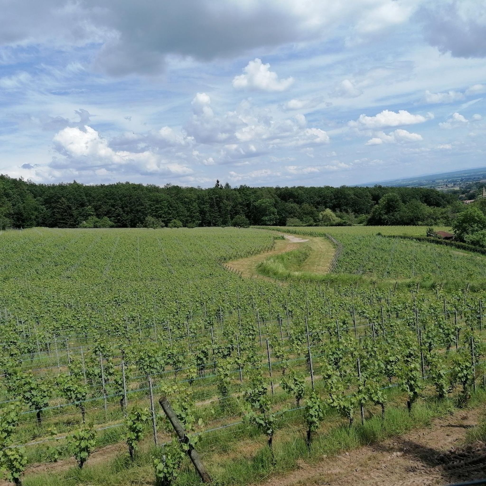
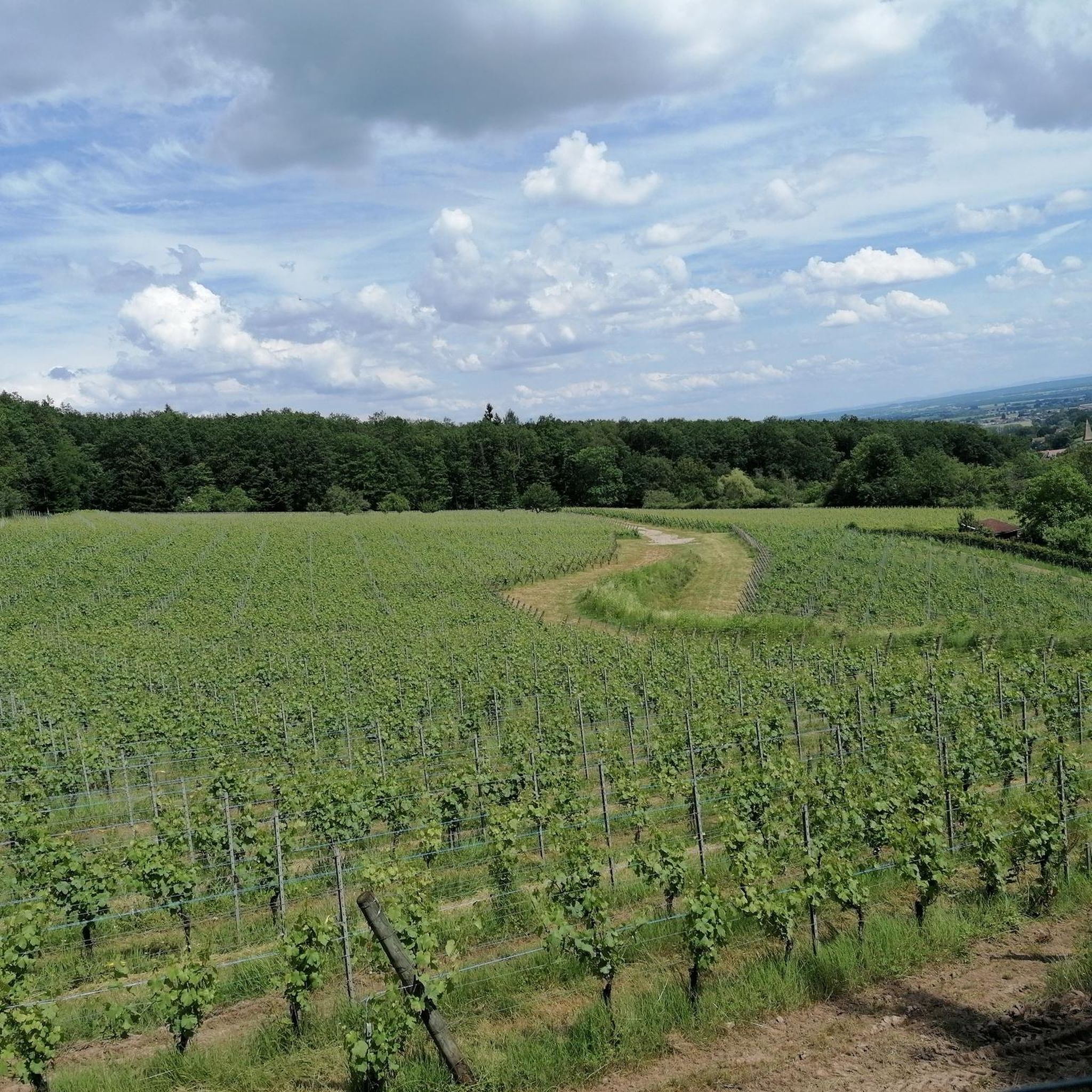
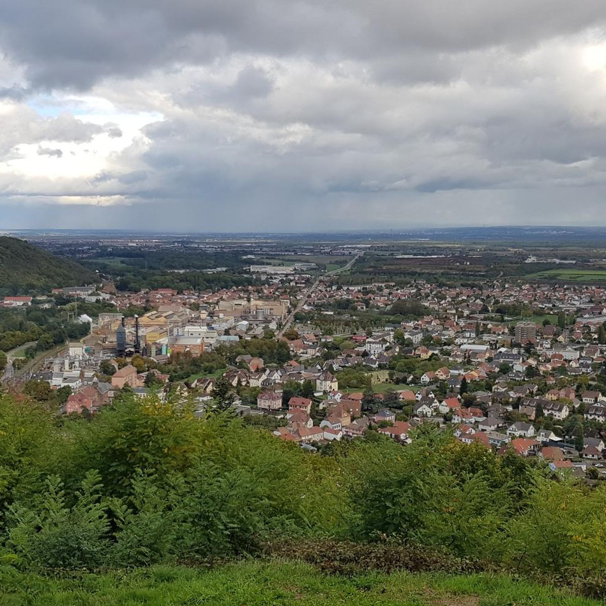
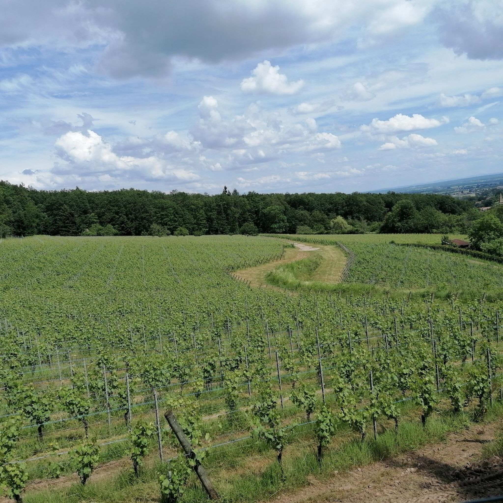
Jogging around Leimbach offers varied terrain, from gentle slopes to more challenging uphill sections. The region features natural reserves like Hallwilersee, the Lindenberg mountain with its ravines, and picturesque spots along Leimbach Creek. Runners can explore diverse landscapes including moist areas after rain due to numerous springs, and scenic paths through vineyards. This area provides a mix of cultural history and natural beauty, making it suitable for different running preferences.
Best jogging routes around Leimbach
- The most popular jogging route…
Last updated: June 28, 2026
5.0
(1)
25
runners
13.1km
01:45
480m
480m
Hard run. Very good fitness required. Sure-footedness, sturdy shoes and alpine experience required.
13
runners
8.78km
01:08
300m
290m
Hard run. Good fitness required. Sure-footedness, sturdy shoes and alpine experience required.

Sign up for free
4.0
(2)
15
runners
Moderate run. Good fitness required. Mostly paved surfaces. Suitable for all skill levels.
12
runners
9.79km
01:03
140m
140m
Moderate run. Good fitness required. Mostly paved surfaces. Suitable for all skill levels.
8
runners
6.08km
00:42
120m
120m
Moderate run. Good fitness required. Mostly paved surfaces. Suitable for all skill levels.
Get access to more routes and recommendations from other explorers.
Sign up for free
Already have an account?
Our route recommendations are based on thousands of hikes, rides, and runs completed by other people on komoot.
Start today with a free account
Your next adventure awaits.
Login or Signup


Tips from the Community


The Notre-Dame Chapel is a monument in the municipality of Leimbach (Haut-Rhin, Great East). It is an attraction for vacationers during a stay in the region.
0
0

Magnificent refuge rebuilt in 2017 by the Club Vosgien de Thann, officially "Relais Joseph Baumann".
0
0
The Chapel of Our Lady "Auf der Heide" was mentioned for the first time in 1666, the exact date of its construction remains unknown. During the revolution, the chapel escaped destruction thanks to the municipality which used it as a shelter for its rural warden.
0
0
Frequently Asked Questions
What kind of terrain can I expect on the running routes around Leimbach?
Leimbach offers a diverse range of terrain for runners. You'll find everything from gentle slopes to more challenging uphill sections, particularly around the Lindenberg mountain. The region also features picturesque spots along the Leimbach Creek, and scenic paths through vineyards. Be aware that some areas, especially near the Lindenberg's many springs, can be moist after rain.
Are there running routes suitable for beginners or those looking for an easy run in Leimbach?
Yes, Leimbach has options for all fitness levels. While there are 2 difficult routes, you'll find 8 moderate and 1 easy running route. A great option for a pleasant run with minimal elevation changes is A morning in Aspach loop from Leimbach, which is a moderate 5.8-mile (9.4 km) path.
What are some notable natural features or landmarks I might see while running in Leimbach?
The Leimbach area is rich in natural beauty and cultural history. You can explore the unique nature reserve at Hallwilersee, located near the romantic Hallwyl Castle. The Lindenberg mountain offers varied terrain and ravines like Gitztobel. Additionally, the Leimbach Creek near Zurich Zoo features a deep color valley and a waterfall cascade, providing picturesque spots. For specific viewpoints, consider visiting the Viewpoint at the summit of Vieil Armand or the Viewpoint at the Rehbrunnel shelter.
Are there any circular running routes available in Leimbach?
Many of the running routes in Leimbach are designed as loops, offering convenient circular paths. For example, the popular Running loop from Leimbach is a 6.1-mile (9.8 km) trail that takes you through varied local scenery. Another option is the Running loop from Thann, a moderate 3.8-mile (6.1 km) route.
What do other runners say about the trails in Leimbach?
The running routes in Leimbach are highly regarded by the komoot community, boasting an average rating of 4.6 stars from over 100 reviews. More than 4000 runners have used komoot to explore the varied terrain, often praising the diverse landscapes and well-maintained paths.
Can I bring my dog on the running trails in Leimbach?
Generally, many outdoor trails in the Leimbach region are dog-friendly. However, it's always recommended to keep your dog on a leash, especially in nature reserves like Hallwilersee, to protect wildlife and ensure a pleasant experience for all users. Please check for any specific local signage or regulations along your chosen route.
Are there any running routes that offer scenic views of vineyards?
Yes, some areas around Leimbach feature beautiful, steep vineyards, particularly along the Thur River. These paths, often paved, can provide pleasant running experiences with stunning scenic views, especially vibrant during autumn. While specific vineyard routes aren't listed, many local trails will pass through or near these picturesque areas.
How many running routes are available in the Leimbach area?
There are 11 distinct running routes available in the Leimbach area, catering to various preferences and fitness levels. These include 1 easy, 8 moderate, and 2 difficult trails.
What is the most challenging running route in Leimbach?
For those seeking a challenge, the Baumann Shelter loop from Leimbach is classified as a difficult route. It's an 8.1-mile (13.1 km) trail that features significant elevation gain and varied terrain, typically taking about 1 hour and 45 minutes to complete.
Are there any huts or shelters along the running routes for a break?
Yes, the region around Leimbach offers several huts and shelters that can serve as resting points. You might encounter places like the Viewpoint at the Rehbrunnel shelter, the Belacker Farmhouse Inn, or the Grambaechle Refuge (shelter). These can be great spots for a short break or to enjoy the surroundings.
What is the best season for running in Leimbach?
Leimbach offers enjoyable running experiences throughout much of the year. The varied terrain, from forests to vineyards, provides different charms in each season. Autumn is particularly scenic with vibrant colors in the vineyards. However, be mindful that the Lindenberg mountain area, with its many springs, can lead to moist terrain after rain, regardless of the season.
Are there any historical sites or monuments near the running trails?
Yes, the region combines natural beauty with cultural history. You can find historical sites such as the Hartmannswillerkopf National Monument and Roche Sermet. Additionally, the romantic Hallwyl Castle is located near the Hallwilersee nature reserve, offering a glimpse into the area's past.
Most popular routes around Leimbach
Most popular attractions around Leimbach

Get inspired with the komoot mobile app


Explore more
Browse the best Running Trails & Routes in other regions.
