The best running trails around Dio-Et-Valquières
4.4
(31)
1,510
runners
116
runs
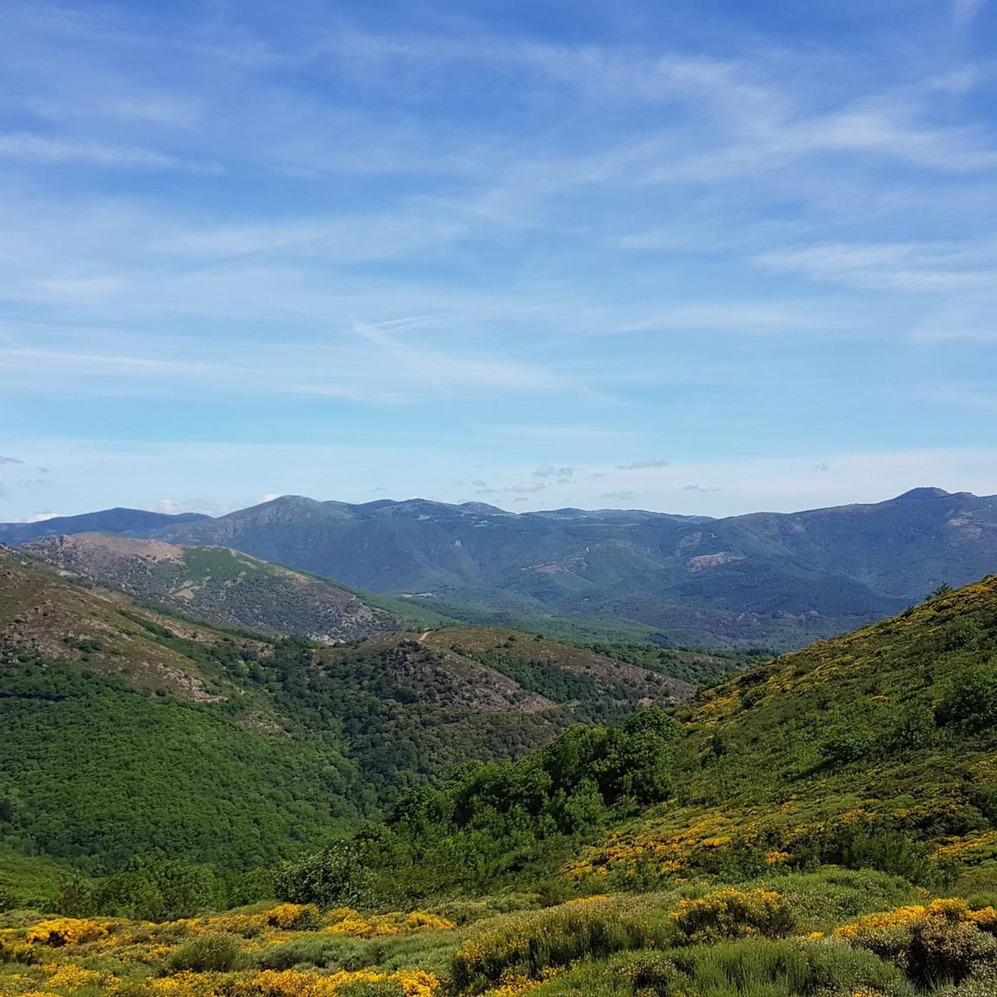
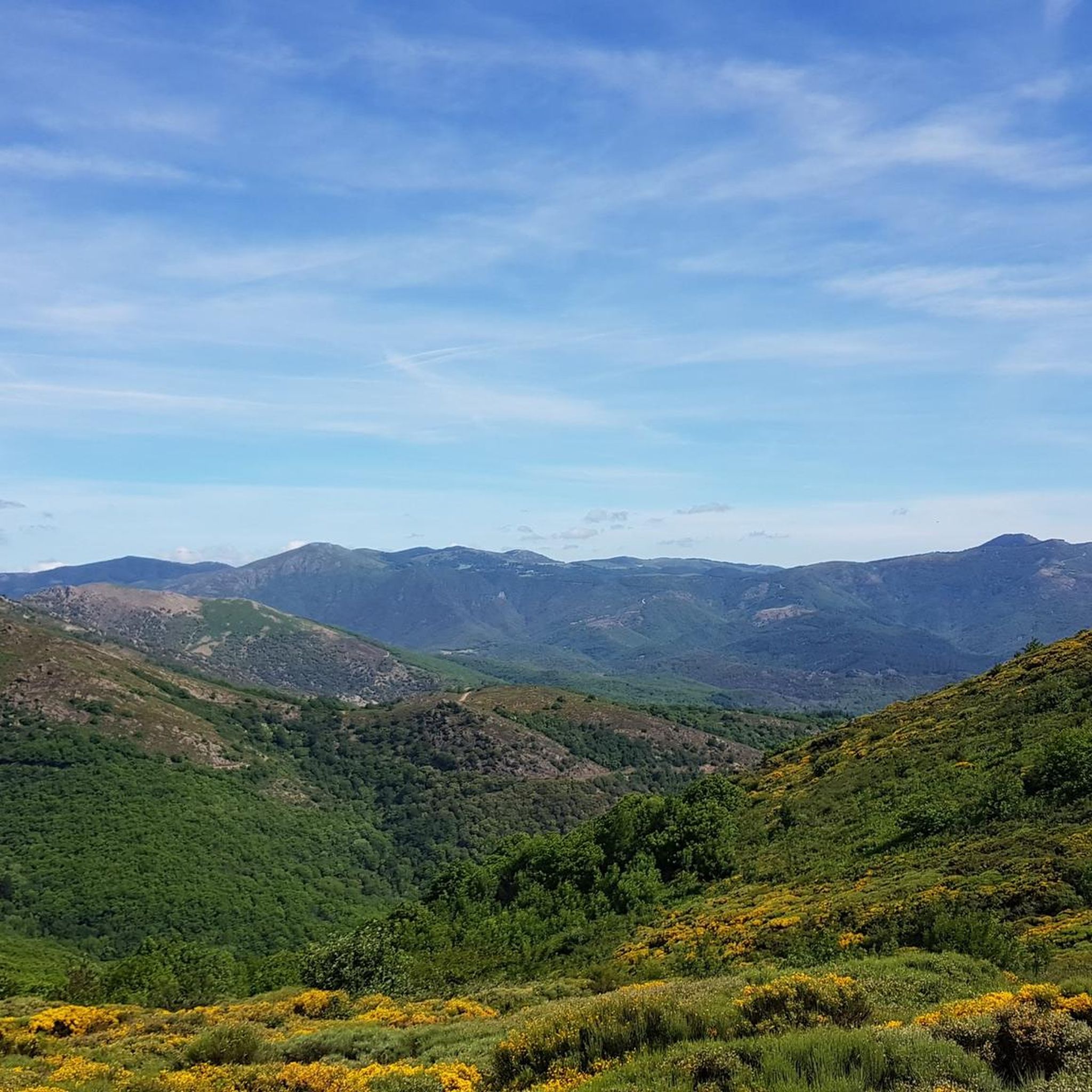
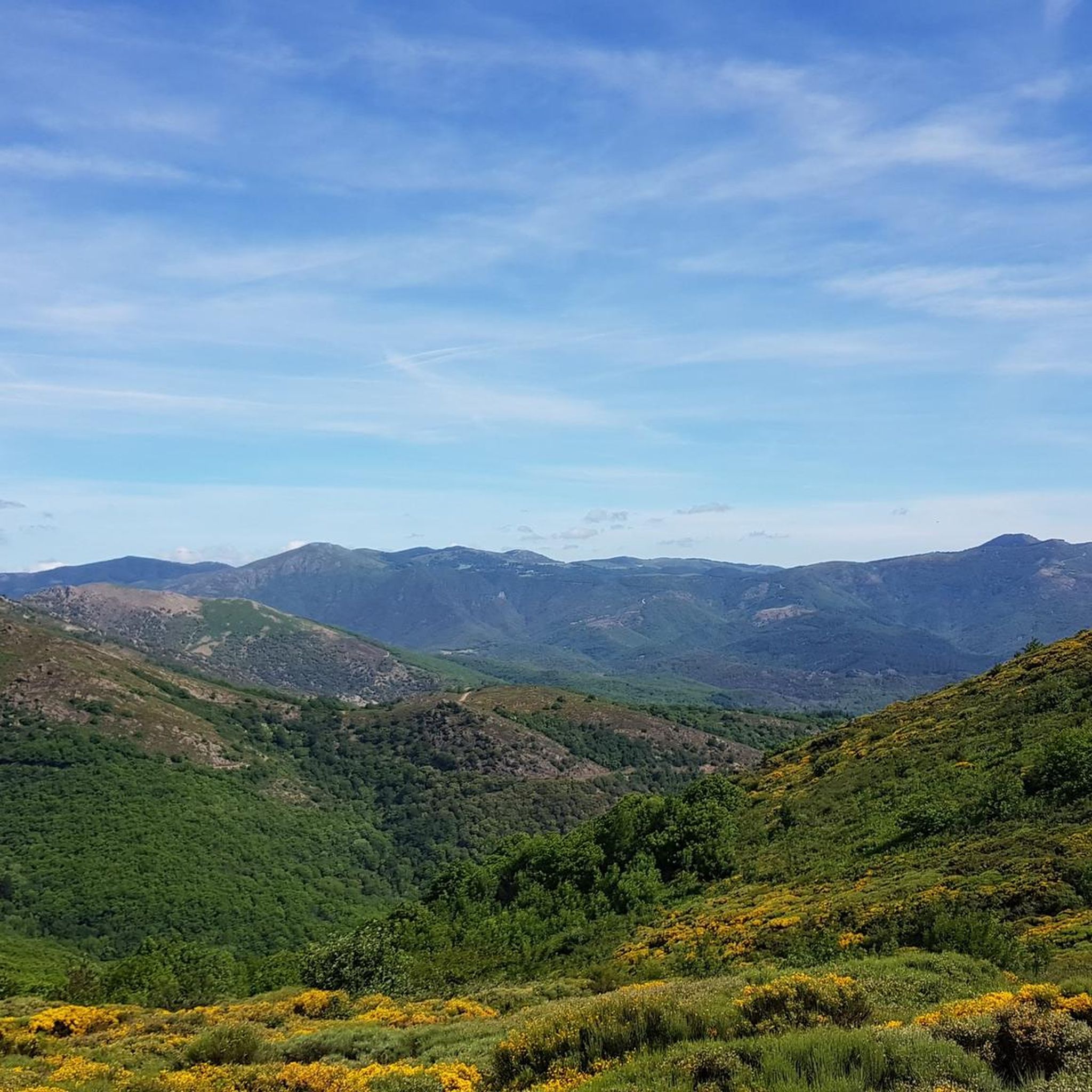
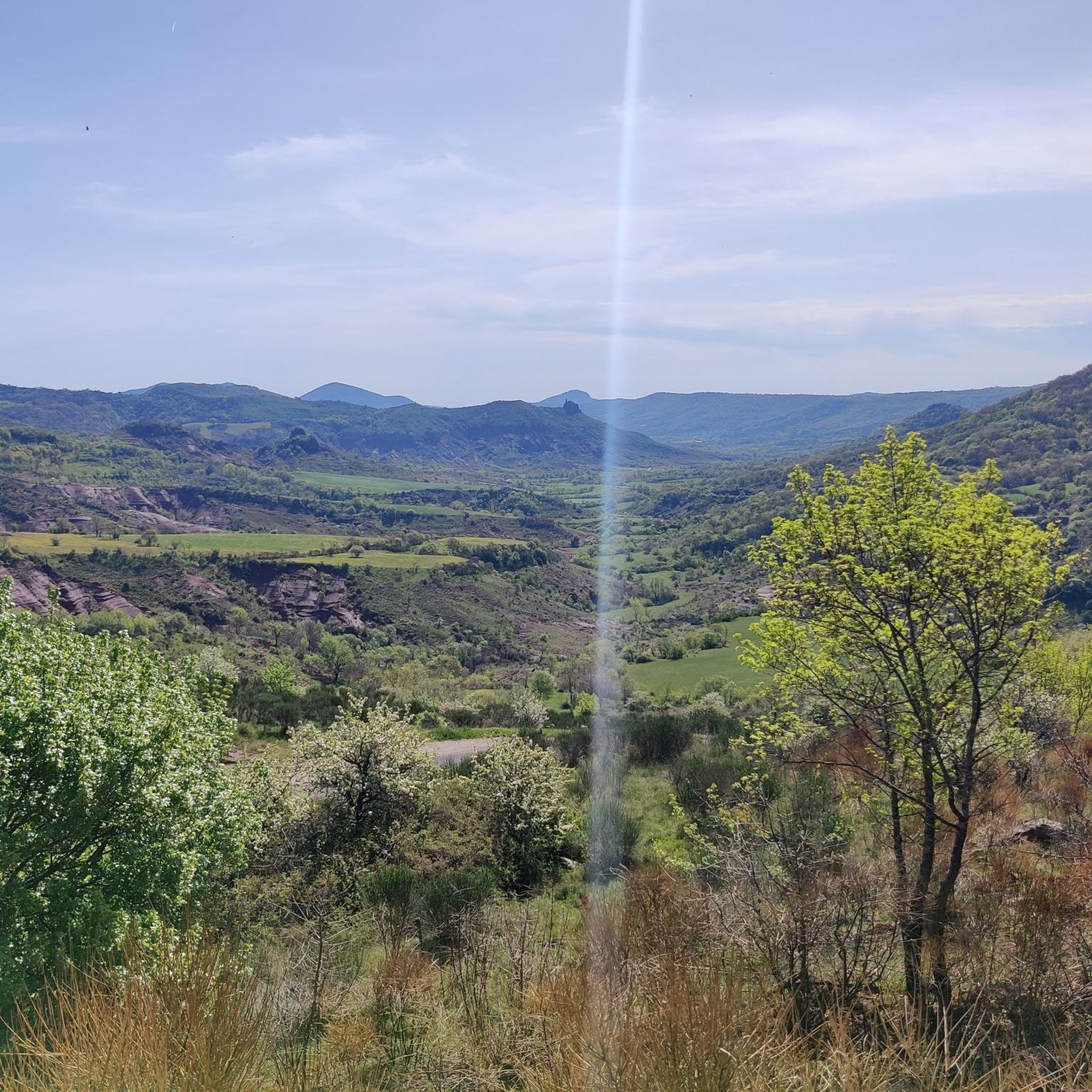
Jogging around Dio-Et-Valquières offers diverse landscapes within the Haut-Languedoc Regional Natural Park. The region is characterized by its distinctive "ruffes" (red earth valleys), volcanic massifs, and impressive limestone cliffs. Wild plateaus and chestnut groves provide varied terrain, while streams like the Vernoubrel add to the natural beauty. High points offer panoramic views over the volcanic landscapes and the red ruffes of the Salagou valley.
Best jogging routes around Dio-Et-Valquières
- The most popular jogging route is Running loop from Parking Via…
Last updated: July 8, 2026
5.0
(1)
7
runners
8.81km
00:58
140m
140m
Moderate run. Good fitness required. Mostly paved surfaces. Suitable for all skill levels.
5
runners
8.99km
00:57
90m
90m
Moderate run. Good fitness required. Mostly paved surfaces. Suitable for all skill levels.

Sign up for free
7
runners
13.4km
01:38
380m
380m
Hard run. Very good fitness required. Mostly paved surfaces. Suitable for all skill levels.
4
runners
7.99km
00:57
250m
250m
Moderate run. Good fitness required. Mostly paved surfaces. Suitable for all skill levels.
7
runners
19.3km
02:15
510m
510m
Hard run. Very good fitness required. Mostly paved surfaces. Suitable for all skill levels.
Get access to more routes and recommendations from other explorers.
Sign up for free
Already have an account?
Our route recommendations are based on thousands of hikes, rides, and runs completed by other people on komoot.
Start today with a free account
Your next adventure awaits.
Login or Signup
Popular around Dio-Et-Valquières

Tips from the Community

A village of superior interest, Joncels dominates the Gravezon valley, and is crossed by narrow streets with picturesque houses. A stopover for pilgrims who went to Compostela coming from Lodève, Joncels preserves the remains of a Benedictine Abbey whose origins date back to the 8th century and which was, in the Middle Ages, one of the most important in Languedoc.
2
0
A charming village nestled at the confluence of the Gravezon, the Nize and the Dourdou! The history of Lunas dates back to the Roman road that linked the lower Languedoc to Rouergue. Surely succeeding a Gallo-Roman oppidium, the Lunarenses castrum is mentioned as early as 806 in a charter of the Gélone abbey (that of Saint-Guilhem-le-Désert). The town is dominated by the Redondel rock, an ancient fortified castle belonging to the baron of Faugères, Viscount of Béziers. Razed in 1627, it was rebuilt on the banks of the Gravezon in 1641 by Henry de Narbonne. A true summary of the history of Languedoc, and a very pleasant cultural, refreshing and gastronomic stopover… A small detour to enjoy the leisure center of Prades, and a break on the site of the Saint-Georges chapel are essential in Lunas
1
0

A village quite representative of Languedoc
1
0

Cute little town with train connections and beautiful climbs in all directions
0
0

This picturesque little village has been classified as a green station. We find traces of its existence until 909. Four hamlets were located below the castle which was destroyed during the wars of religion. Rebuilt in the center of the village, it is still inhabited. Lunas is located on one of the routes to Santiago de Compostela. It also has the particularity of having a railway station.
1
0

The Abbey of Saint-Pierre-aux-Liens in Joncels, better known by its simplified name of Joncels Abbey, is a superb Romanesque building. Of what was once one of the most important Christian religious centers in Languedoc, only the church, the chapter house, and part of the cloister remain. The simplicity and beauty of the carvings in this beautiful stone give you a glimpse of its former magnificence.
2
0

This is an old Abbey abandoned at the time of the French revolution but it is well worth a stop.
1
0
Frequently Asked Questions
What types of running trails are available in Dio-Et-Valquières?
Dio-Et-Valquières offers a diverse network of trails suitable for various running preferences. You'll find paths winding through distinctive red earth valleys, known as "ruffes," alongside volcanic massifs, and past impressive limestone cliffs. The terrain includes wild plateaus and lush chestnut groves, providing varied environments for your run. Overall, there are over 100 routes, with 65 moderate and 29 difficult options, ensuring something for every runner.
Are there any particularly scenic running routes with panoramic views?
Yes, the region is known for its stunning vistas. High points throughout the area, such as along the "Crêtes de Dio" (Dio ridges), offer expansive views over the volcanic landscapes, the Monts d'Orb, and the red ruffes of the Salagou valley. For example, the Merquière Pass – Baumes Pass loop from Dio-et-Valquières provides challenging terrain with rewarding scenery.
Can I find longer, more challenging running routes in the area?
Absolutely. For those seeking a longer and more challenging run, the Merquière Pass – Baumes Pass loop from Dio-et-Valquières is a difficult 13.6 km (8.4 miles) trail with significant elevation changes. The GR7 long-distance trail also passes through Dio-Et-Valquières, offering opportunities for extended runs through diverse environments.
What unique natural features will I encounter on the running paths?
You'll experience the striking geological diversity of the region. A defining characteristic is the valleys of distinctive red earth, known as "ruffes," which create visually dramatic backdrops. The area is also at the foot of the volcanic massif of Escandorgue and surrounded by impressive limestone cliffs. Four streams, including the Vernoubrel, Garel, Nombringuières, and Brayou, traverse the commune, adding to the natural beauty.
Are there any historical or cultural sights to see while running?
Yes, while exploring the trails, you might encounter historical elements such as the 12th-century Dio Castle and ancient "capitelles" (dry stone shepherd shelters) dotted along the paths. These add a cultural dimension to your outdoor activity.
Is Dio-Et-Valquières a good place for family-friendly jogging?
While the guide focuses on general running routes, the extensive trail network includes options of varying difficulty. For a moderate option that families might enjoy, consider the Lunas loop from Lunas, which is 6.5 km (4 miles) long and relatively flat. Always check the route details to ensure it suits your family's fitness level.
What do other runners say about the trails in Dio-Et-Valquières?
The running routes in Dio-Et-Valquières are highly rated by the komoot community, with an average score of 4.3 stars from more than 20 reviews. Runners often praise the varied terrain, the unique red earth landscapes, and the stunning panoramic views, making it a memorable destination for outdoor activities.
Are there any circular running routes available?
Yes, many of the routes are designed as loops, allowing you to start and finish in the same location. For example, the Running loop from Parking Via Ferrata is a popular 8.8 km (5.5 miles) circular trail. Another option is the Running loop from Dio-et-Valquières, which is 8.0 km (5.0 miles) long.
What is the best season for running in Dio-Et-Valquières?
The region's arid environments and red earth are adapted to low water retention and extreme summer heat. While beautiful year-round, spring and autumn generally offer more comfortable temperatures for running. Summer can be very hot, so early morning or late evening runs are advisable during that season.
Are there any nearby attractions or points of interest I can visit after my run?
Yes, the area around Dio-Et-Valquières offers several interesting spots. You could explore the Town of Mourèze or visit the stunning Lake Salagou, known for its unique red lands. The Cirque de Mourèze Viewpoint also offers spectacular scenery.
Is parking available near the running trailheads?
Yes, many routes, such as the Running loop from Parking Via Ferrata, indicate starting points with parking access. It's generally advisable to check the specific route details on komoot for precise parking information before heading out.
Most popular routes around Dio-Et-Valquières
Most popular attractions around Dio-Et-Valquières

Get inspired with the komoot mobile app


Explore more
Browse the best Running Trails & Routes in other regions.
