The best MTB trails around Saint-Étienne-Estréchoux
4.4
(86)
974
riders
77
rides
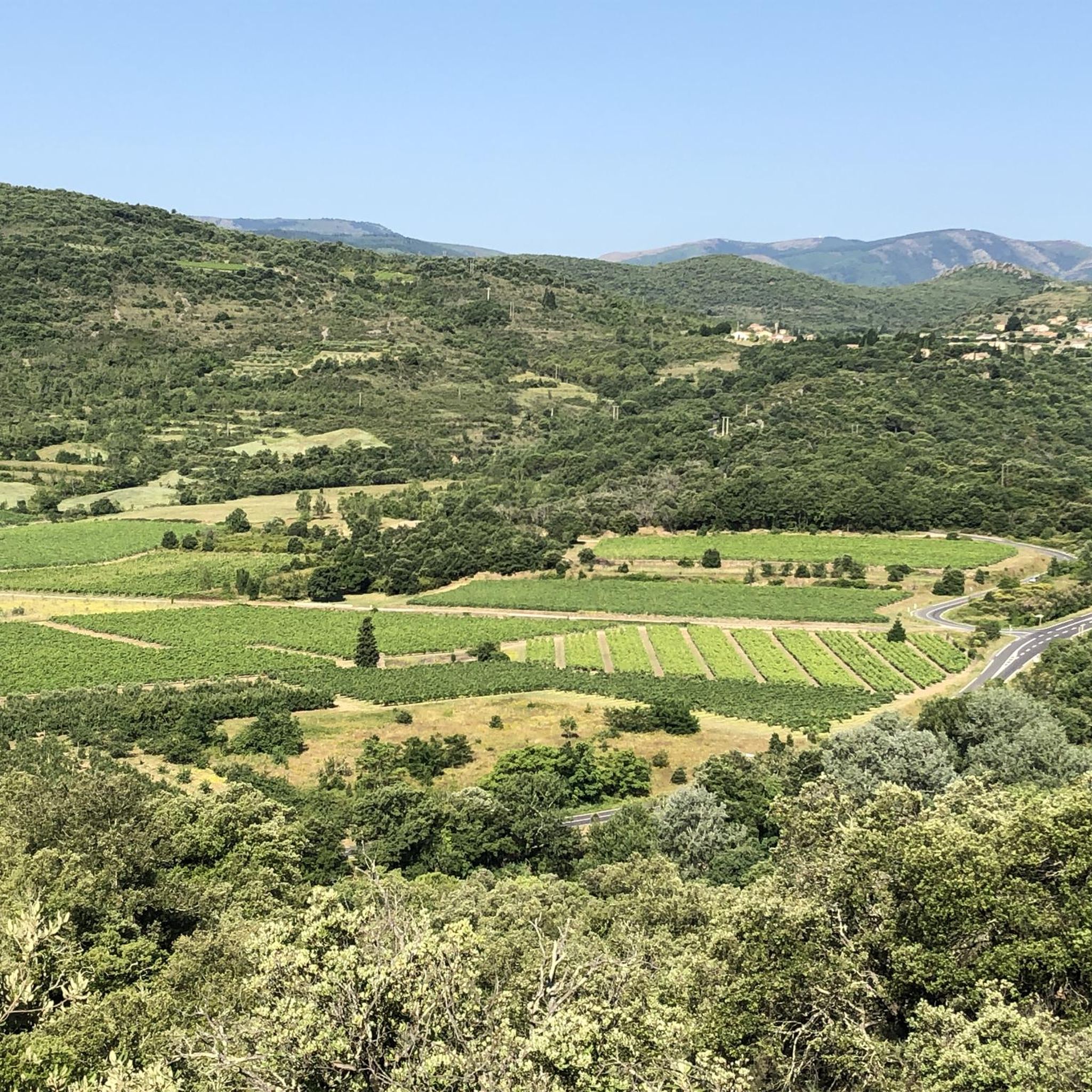
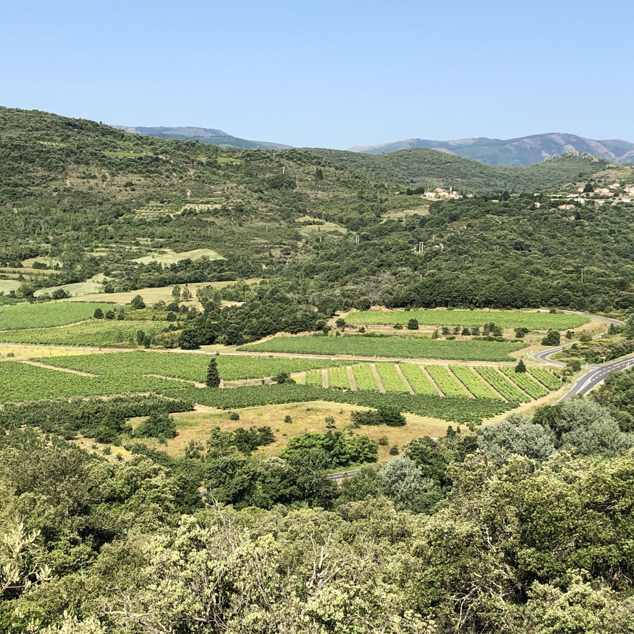
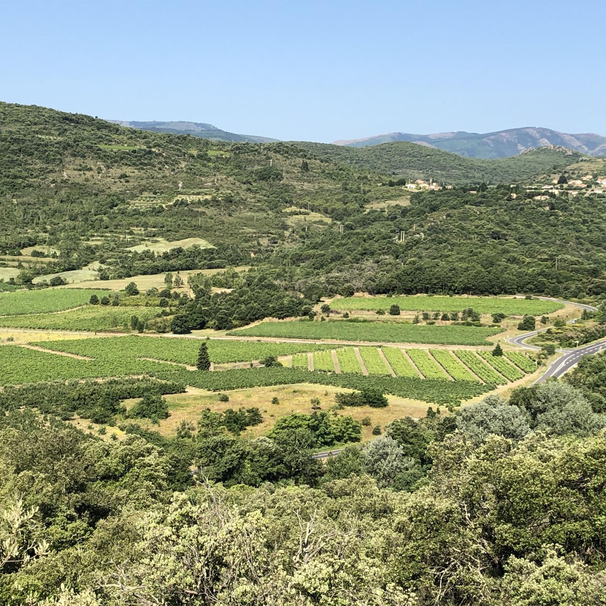
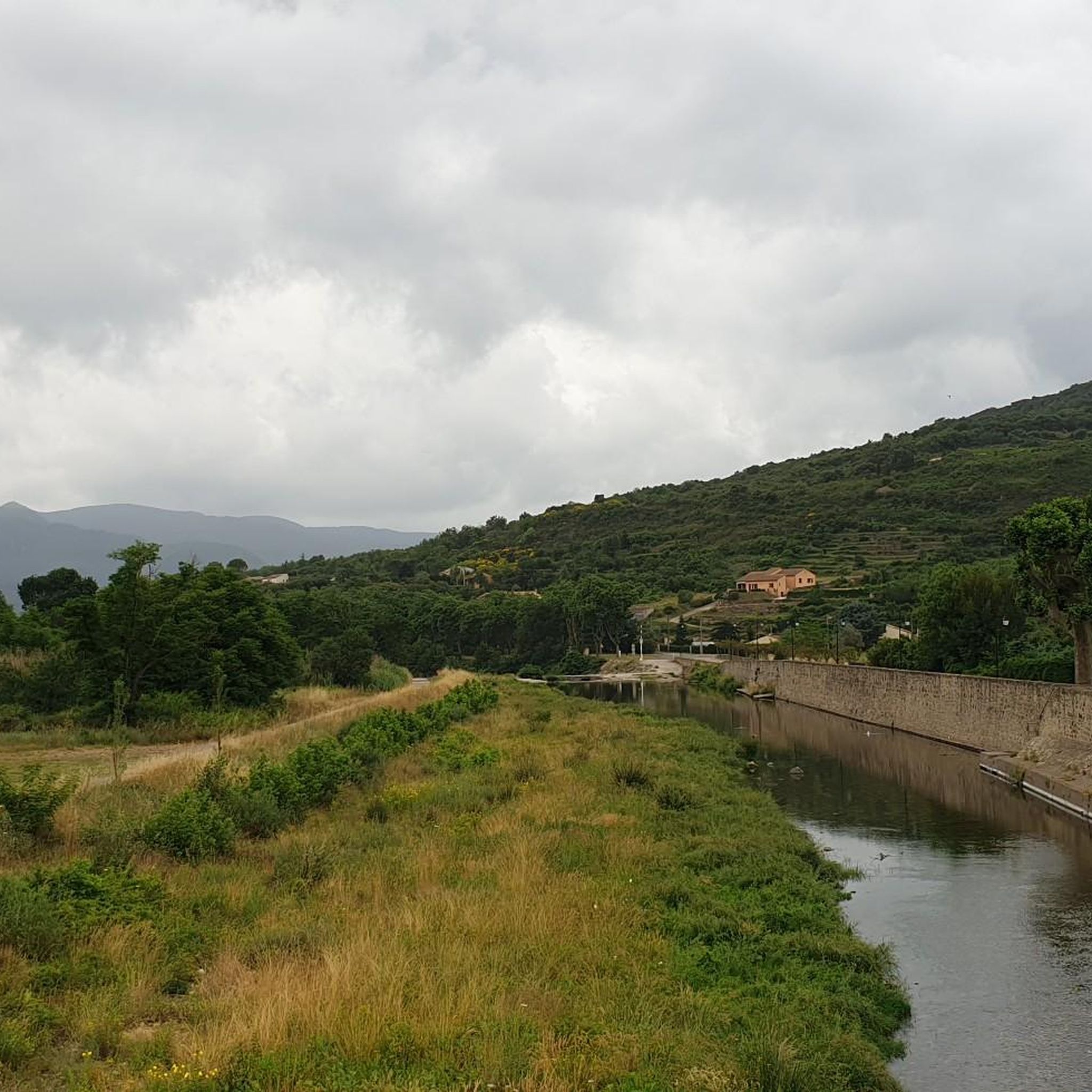
Mountain biking around Saint-Étienne-Estréchoux, located in the Hérault department of France, offers diverse terrain for riders. The region features varied landscapes, from the granitic Caroux Massif within the Haut-Languedoc Regional Natural Park to the expansive areas near the Cévennes National Park. Trails often include singletracks, paths with drops, jumps, and gap jumps, providing a range of technical challenges and elevation changes.
Best mountain bike trails around Saint-Étienne-Estréchoux
- The most popular mountain bike trail is Pont du Diables dam loop from…
Last updated: July 8, 2026
5.0
(1)
72
riders
24.1km
02:46
850m
850m
Moderate mountain bike ride. Good fitness required. Suitable for all skill levels.
16
riders
37.7km
04:27
1,420m
1,420m
Hard mountain bike ride. Very good fitness required. Suitable for all skill levels.

Sign up for free
4.0
(1)
12
riders
34.3km
03:49
1,220m
1,220m
Hard mountain bike ride. Very good fitness required. Suitable for all skill levels.
5.0
(1)
9
riders
Moderate mountain bike ride. Good fitness required. Suitable for all skill levels.
5.0
(1)
3
riders
45.1km
04:33
1,330m
1,340m
Hard mountain bike ride. Very good fitness required. Suitable for all skill levels.
Get access to more routes and recommendations from other explorers.
Sign up for free
Already have an account?
Our route recommendations are based on thousands of hikes, rides, and runs completed by other people on komoot.
Start today with a free account
Your next adventure awaits.
Login or Signup

Tips from the Community

The cliffs of Orque (or Olque, depending on local toponyms) form a real rocky front overlooking the Haut-Languedoc: a limestone wall about 200 meters high, leaning against a plateau perched around 800 meters, north of the Caroux and Espinouse massifs.
0
0

An incredible spot that looks like it was built by human hands.
0
0

Great enduro-style ride with plenty of swimming spots. Beginners should refrain.
0
0

A very pleasant climb from Lamalou-les-Bains! The beginning is (very) steep (7-8% average over quite a few kilometers), but it becomes more rolling after that.
0
0


At the crossroads between the Agout sector and the Erich gorges. On the edge of the national reserve.
0
0

The Col de Serviès culminates at 883 meters above sea level. It can be reached on foot or by bike (gravel, mountain bike). It offers beautiful views of the Redon and Agut mountains which emerge from the landscape just a stone's throw away.
0
0
The Col du Layrac is a great exit goal. Whether for its ascent by roads and wooded paths or its clear summit which offers a beautiful panorama of the surrounding mountains.
1
0
Frequently Asked Questions
How many mountain bike trails are there around Saint-Étienne-Estréchoux?
There are over 75 mountain bike trails available around Saint-Étienne-Estréchoux, offering a wide range of options for different skill levels. This includes 5 easy routes, 41 moderate routes, and 31 difficult routes.
What kind of terrain can I expect on mountain bike trails in this region?
The region around Saint-Étienne-Estréchoux offers diverse terrain, from varied singletracks to paths with drops, jumps, and gap jumps. You'll encounter significant elevation changes, especially in areas like the Caroux Massif, providing both technical challenges and rewarding descents.
Are there any family-friendly mountain bike trails near Saint-Étienne-Estréchoux?
While many trails in the region are moderate to difficult, there are 5 easy mountain bike routes available. These are generally shorter and have less demanding climbs, making them suitable for families or those new to mountain biking. You can find options that explore the local landscapes without extreme technical sections.
Are there any circular mountain bike routes available?
Yes, many of the mountain bike trails around Saint-Étienne-Estréchoux are designed as loops. For example, the L'Abbaïsse loop from Taussac is a moderate 13.8 km circular route, and the more challenging Liourel Pass – Serviès Pass (883 m) loop from Graissessac covers 35.0 km, both offering a complete circuit.
What natural landmarks or attractions can I see along the mountain bike trails?
The trails often pass through or near notable natural features. You might encounter geological formations like the Roquandouire Arch, or scenic viewpoints such as the Viewpoint over the Espinouse summit. The region is also home to the Waterfall Above Colombières-sur-Orb, offering beautiful natural sights.
What do other mountain bikers say about the trails in Saint-Étienne-Estréchoux?
The mountain bike trails around Saint-Étienne-Estréchoux are highly rated by the komoot community, with an average score of 4.5 stars from over 100 reviews. Riders often praise the diverse landscapes, the challenging climbs, and the rewarding descents through areas like the Caroux Massif.
Are there any particularly challenging mountain bike routes for advanced riders?
Yes, for advanced riders seeking a significant physical challenge, there are 31 difficult routes. A notable option is the Serviès Pass (883 m) loop from L'Ayrole, which spans 38.4 km and features over 1,400 meters of elevation gain, taking you through rugged, mountainous terrain.
What are the best seasons for mountain biking in Saint-Étienne-Estréchoux?
The region is generally suitable for mountain biking from spring through autumn. The diverse landscapes, including the Caroux Massif and proximity to the Cévennes National Park, offer pleasant conditions outside of the hottest summer months or potential winter snow at higher elevations. Always check local weather conditions before heading out.
Are there any places to explore or visit near the mountain biking areas?
Beyond the trails, the region offers several interesting places. You could visit the spa town of Avène, or the charming settlement of Lunas. The area is also close to the Haut-Languedoc Regional Natural Park and the Cévennes National Park, both offering extensive natural beauty and cultural landscapes.
Where can I find parking for mountain bike trails in Saint-Étienne-Estréchoux?
Specific parking information varies by trailhead. Many routes, such as the Pont du Diables dam loop from Le Pradal, typically have designated parking areas at their starting points in villages or near key landmarks. It's advisable to check the individual route details on komoot for precise parking locations.
Are there any moderate mountain bike trails with good elevation gain?
Yes, many moderate trails offer significant elevation gain. For instance, the L'Abbaïsse loop from Castanet-le-Bas is a moderate 18.9 km route with over 700 meters of elevation gain, providing a good workout through varied landscapes.
Most popular routes around Saint-Étienne-Estréchoux
Most popular attractions around Saint-Étienne-Estréchoux

Get inspired with the komoot mobile app


Explore more
Browse the best MTB trails in other regions.
