The best running trails around Castanet-Le-Haut
4.3
(7)
1,021
runners
35
runs
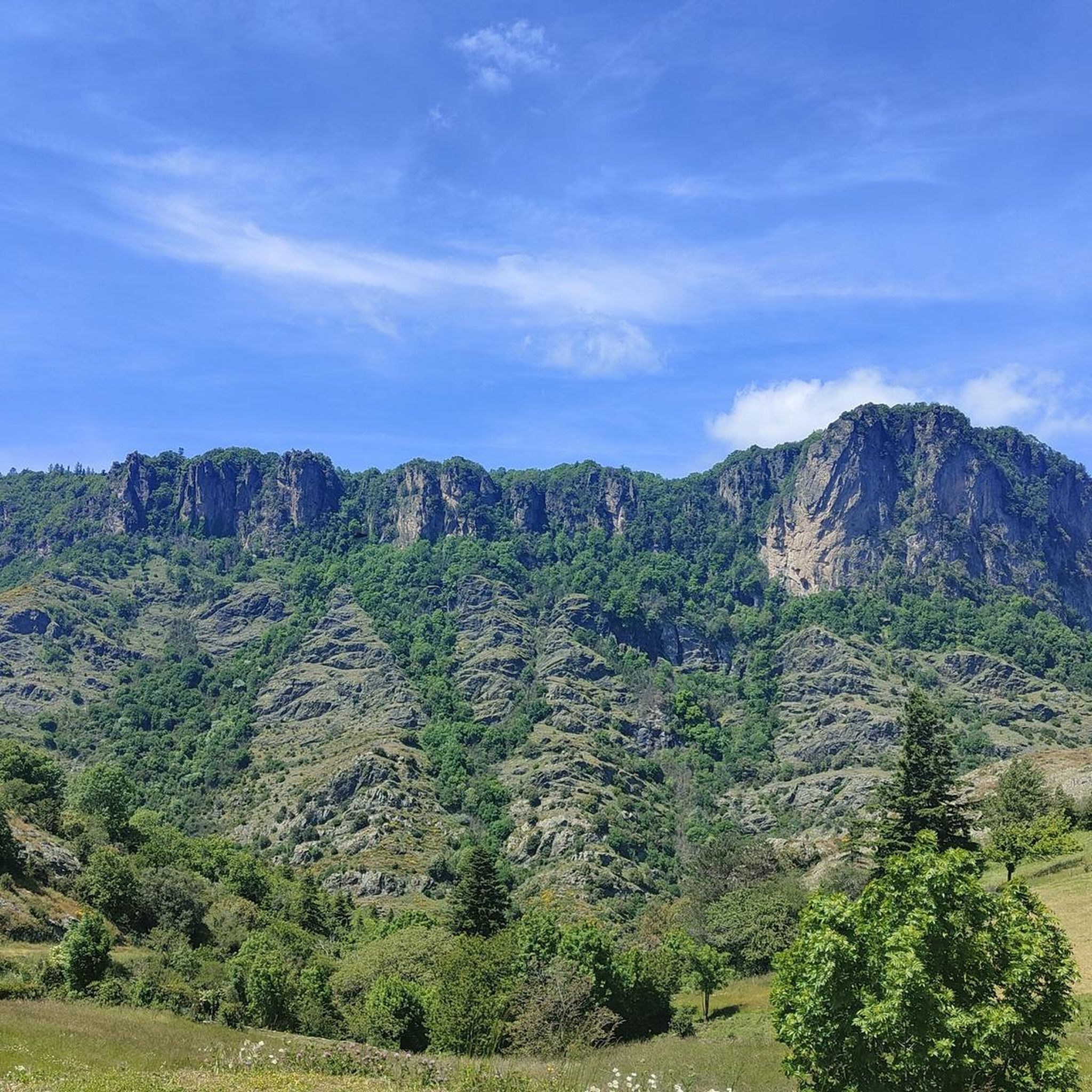
Jogging around Castanet-Le-Haut offers diverse terrain within the Hérault department, characterized by the granite Espinouse massif and limestone plateaus. The region features significant landmarks like Mont Caroux and the spectacular Héric Gorge, providing varied landscapes for running. Elevations range from 435m to 1124m, ensuring a mix of challenging ascents and scenic paths alongside rivers like the Orb. This varied topography makes it a suitable destination for different levels of running activity.
Best jogging routes around Castanet-Le-Haut
- The most popular jogging…
Last updated: July 12, 2026
18
runners
11.1km
01:42
560m
560m
Hard run. Very good fitness required. Sure-footedness, sturdy shoes and alpine experience required.
28
runners
21.4km
02:49
760m
760m
Hard run. Very good fitness required. Mostly paved surfaces. Suitable for all skill levels.

Sign up for free
10
runners
13.7km
02:11
650m
650m
Hard run. Very good fitness required. Sure-footedness, sturdy shoes and alpine experience required.
3.0
(1)
17
runners
13.5km
01:59
620m
620m
Hard run. Very good fitness required. Sure-footedness, sturdy shoes and alpine experience required.
11
runners
10.4km
01:27
400m
400m
Hard run. Very good fitness required. Mostly paved surfaces. Suitable for all skill levels.
Get access to more routes and recommendations from other explorers.
Sign up for free
Already have an account?
Our route recommendations are based on thousands of hikes, rides, and runs completed by other people on komoot.
Start today with a free account
Your next adventure awaits.
Login or Signup
Popular around Castanet-Le-Haut

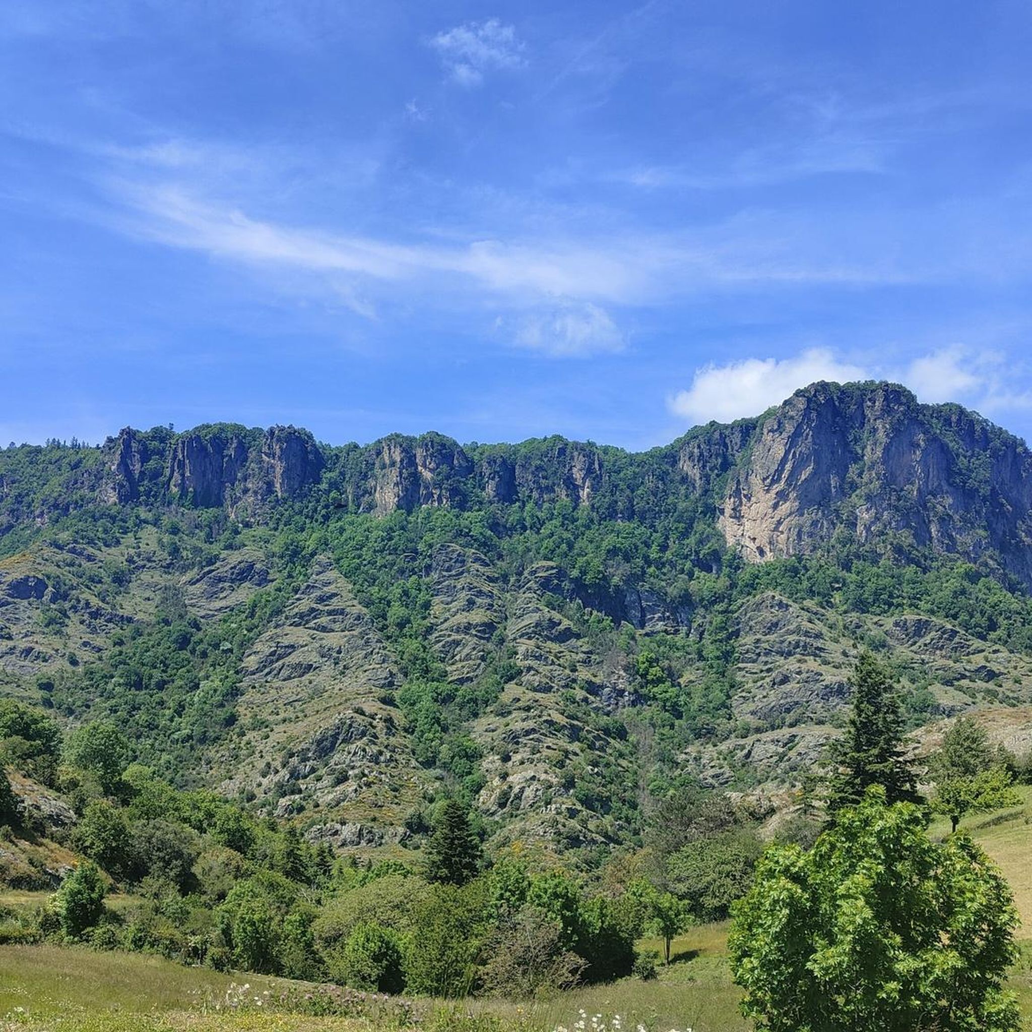
Hexatrek – The Cévennes to the Pyrenees between gorges and limestone plateau
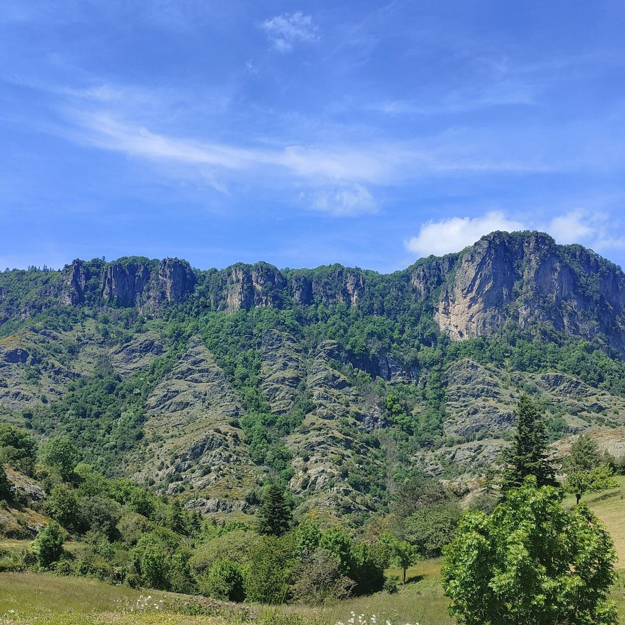
Grande Traversée de l'Hérault — Passa Meridia (North)
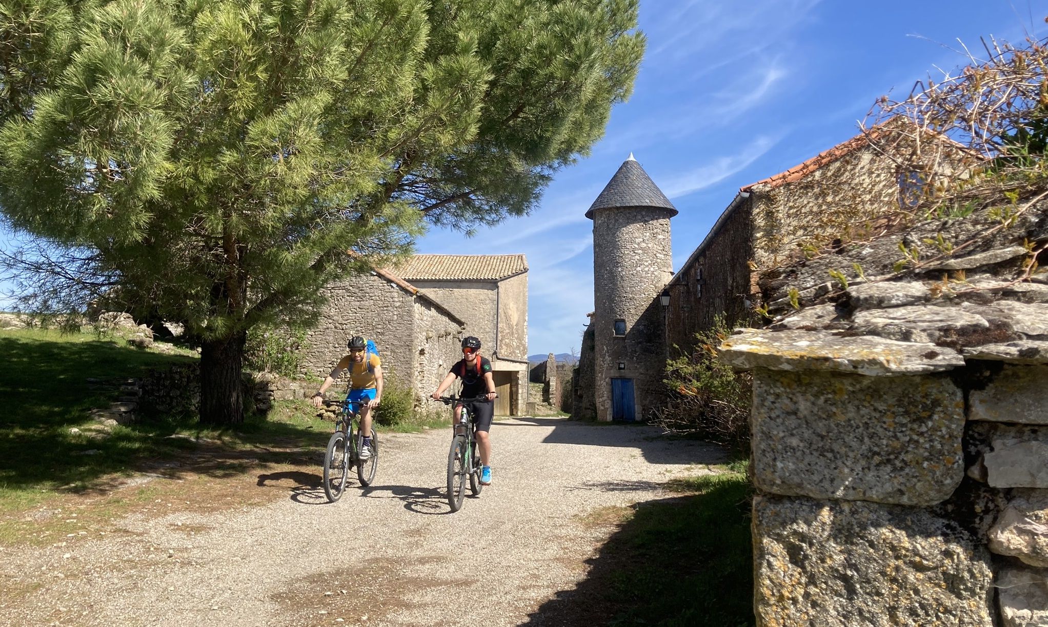
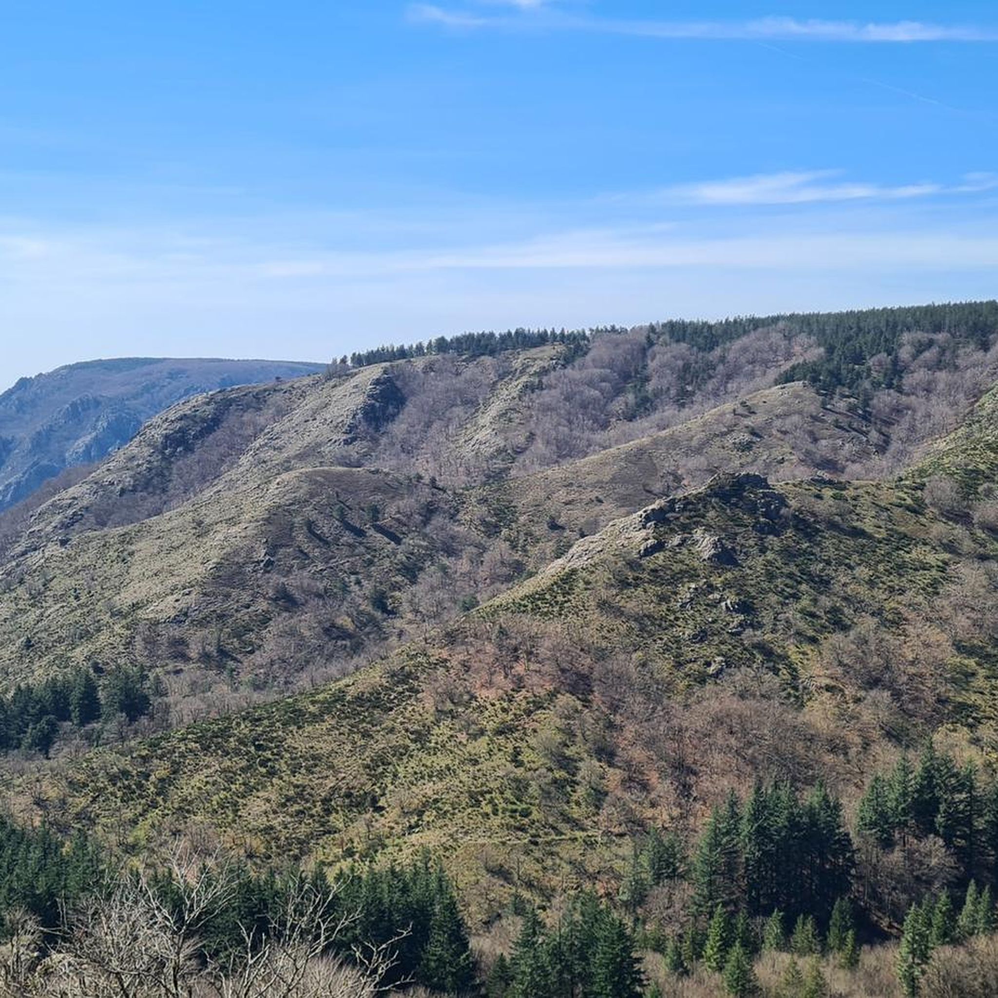
Hiking around Castanet-Le-Haut
Road Cycling Routes around Castanet-Le-Haut
MTB Trails around Castanet-Le-Haut
Cycling around Castanet-Le-Haut

Gravel biking around Castanet-Le-Haut


Tips from the Community


An incredible spot that looks like it was built by human hands.
0
0

Great enduro-style ride with plenty of swimming spots. Beginners should refrain.
0
0


From the car park, take the road on the left towards Douch, until you reach the square bordering the village. Go up on the left by the path between the ash trees, for 50 m.
0
1

@VavaWum If you ask for water and say "Of course I'd like to pay for it like you would your lemonade" - you'll probably get it for free...
1
0

Pretty hamlet whose stone houses with lauze roofing are typical of the region.
1
0

Here you have a superb view of the Espinouse summit, which rises to 1,124 meters above sea level on the Caroux-Espinouse massif.
0
0
Frequently Asked Questions
How many running routes are available in Castanet-Le-Haut?
There are over 35 dedicated running routes around Castanet-Le-Haut, offering a wide range of distances and difficulty levels. The region's diverse terrain, from granite massifs to limestone plateaus, provides varied options for all runners.
Are there easy running trails suitable for beginners in Castanet-Le-Haut?
While many routes in Castanet-Le-Haut are rated as difficult due to the mountainous terrain, there are some moderate options available. For example, The summit of Carroux – loop trail from Douch is a moderate 4.9-mile (8.0 km) route that offers beautiful views within the Haut Languedoc Natural Park.
What are some longer distance running options in the region?
For those seeking a challenge, Castanet-Le-Haut offers several difficult long-distance routes. The Pont d'Héric – Col de la Maure Trail loop from Rosis is a demanding 15.6-mile (25.0 km) path exploring the rugged terrain around the Héric Gorge. Another option is the Col de Madale loop from Saint-Gervais-sur-Mare, which spans over 13 miles (21 km).
Can I find routes with scenic views or natural landmarks?
Absolutely. The region is rich in natural beauty. Many running routes offer panoramic views from spots like the Croix de Mounis, overlooking Mont Marcou and the Espinouse. You can also explore the spectacular Héric Gorge or run alongside the Orb River, which flows through its own scenic gorges.
Are there any routes that pass by waterfalls or natural pools for a refreshing stop?
Yes, the area is known for its refreshing natural water features. The Gouffre du Cerisier Natural Pool and Waterfall is a notable spot with clear waters, and the Natural Pools of the Gorges d'Héric offer excellent opportunities for a cool-down during your run.
Are the running trails in Castanet-Le-Haut suitable for families?
While many trails are challenging, some sections of the extensive network, particularly those along wider, less steep paths in areas like the Héric Gorge, can be suitable for families looking for a more relaxed run or walk. Always check the route difficulty and elevation profile before heading out with children.
What kind of terrain can I expect on the jogging paths?
The terrain around Castanet-Le-Haut is incredibly varied. You'll encounter paths through the granite Espinouse massif, limestone plateaus, and trails alongside rivers and through gorges. Elevations range significantly, from 435m to 1124m, meaning you can expect a mix of challenging ascents, descents, and flatter sections.
Are there circular running routes available?
Yes, many of the running routes in Castanet-Le-Haut are designed as loops, allowing you to start and finish at the same point. Examples include The summit of Carroux – loop trail from Douch and Roquandouire Arch loop from Saint-Geniès-de-Varensal, offering convenient options for your run.
What do other runners say about the trails in Castanet-Le-Haut?
The running routes in Castanet-Le-Haut are highly rated by the komoot community, with an average score of 4.5 stars from over 10 reviews. More than 1000 runners have used komoot to explore the varied terrain, often praising the stunning natural beauty and the diverse challenges offered by the trails.
When is the best time of year to go running in Castanet-Le-Haut?
The diverse climate and elevation mean that Castanet-Le-Haut offers running opportunities year-round. Spring and autumn provide pleasant temperatures for longer runs. In summer, routes through shaded gorges or near natural pools can offer respite from the heat. Winter running is also possible, especially on lower elevation trails, though higher passes like L'Espinouse Pass (1,124 m) might require checking local conditions.
Are there any historical or cultural sites I can discover while running?
Beyond its natural beauty, Castanet-Le-Haut has historical elements. You might encounter traces of a Roman camp or Visigothic tombs. The 14th-century chapel of Ste. Eutrope and the 18th-century Nougayrol mill are other notable sites that can add a cultural dimension to your outdoor excursions.
How can I find out more about the Castanet-Le-Haut region?
For additional information about the area's heritage and attractions, you can visit the official Hérault Tourisme website: herault-tourisme.com.
Most popular routes around Castanet-Le-Haut
Most popular attractions around Castanet-Le-Haut

Get inspired with the komoot mobile app


Explore more
Browse the best Running Trails & Routes in other regions.
