The best running trails around Saint-Vincent-La-Commanderie
4.5
(48)
2,563
runners
12
runs
Jogging routes around Saint-Vincent-La-Commanderie offer diverse terrain within the Drôme department, situated at the foot of the Monts du Matin, which are the initial ridges of the Vercors mountains. The region features varied topography, with elevations ranging from 326 meters to 1,108 meters, providing options from gentle paths to challenging trails. Runners can explore a landscape characterized by rocky formations like the Rochers de Treillaras, serene streams such as the Ruisseau de la Boisse, and numerous cols and côtes that…
Last updated: July 15, 2026
49
runners
19.3km
03:03
1,030m
1,030m
Hard run. Very good fitness required. Sure-footedness, sturdy shoes and alpine experience required.
4.0
(1)
35
runners
8.93km
01:09
290m
290m
Hard run. Good fitness required. Sure-footedness, sturdy shoes and alpine experience required.

Sign up for free
7
runners
8.56km
01:02
180m
180m
Hard run. Good fitness required. Sure-footedness, sturdy shoes and alpine experience required.
12
runners
6.73km
01:25
630m
630m
Hard run. Very good fitness required. Sure-footedness, sturdy shoes and alpine experience required.
6
runners
10.4km
01:14
180m
180m
Moderate run. Good fitness required. Mostly paved surfaces. Suitable for all skill levels.
Get access to more routes and recommendations from other explorers.
Sign up for free
Already have an account?
Our route recommendations are based on thousands of hikes, rides, and runs completed by other people on komoot.
Start today with a free account
Your next adventure awaits.
Login or Signup

Tips from the Community

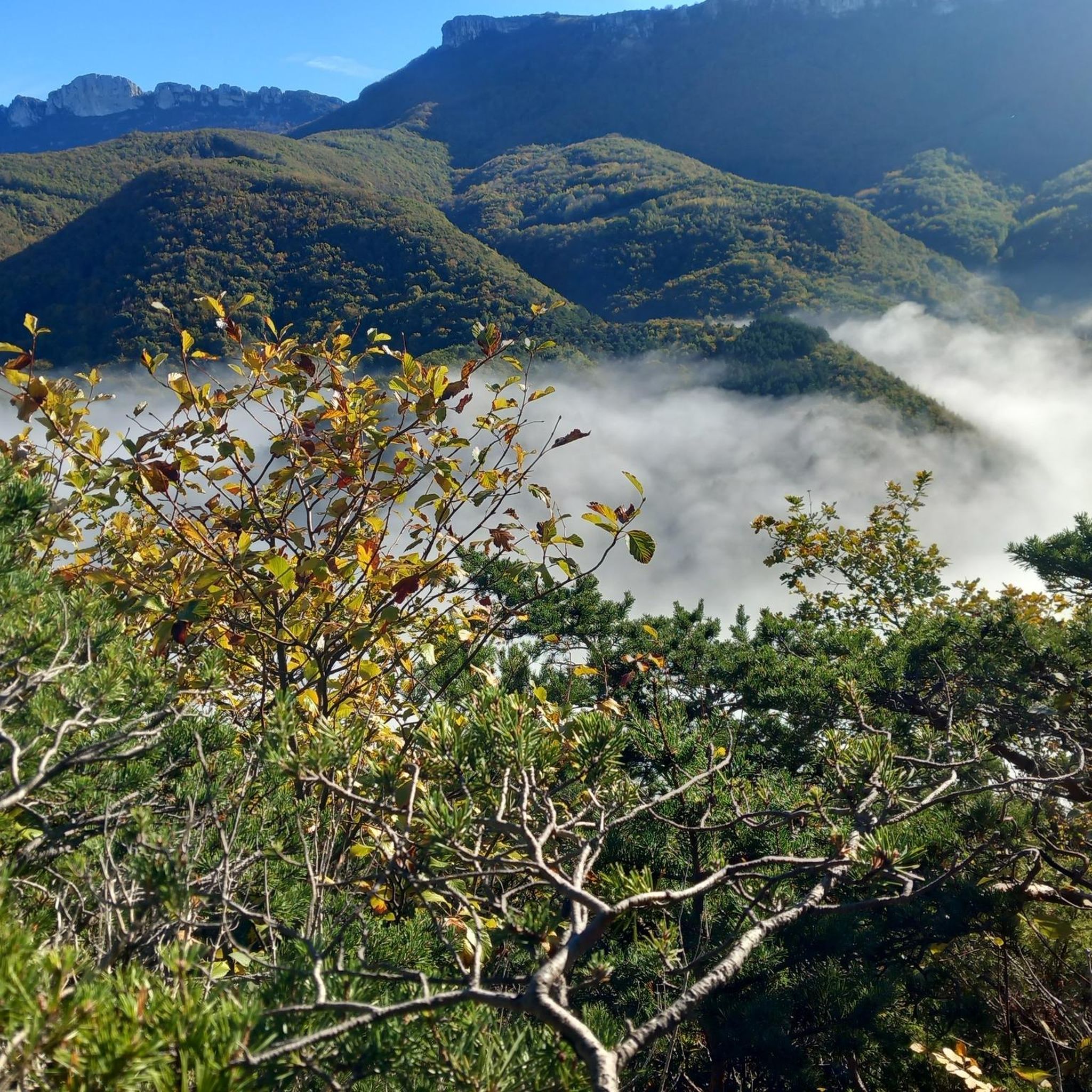
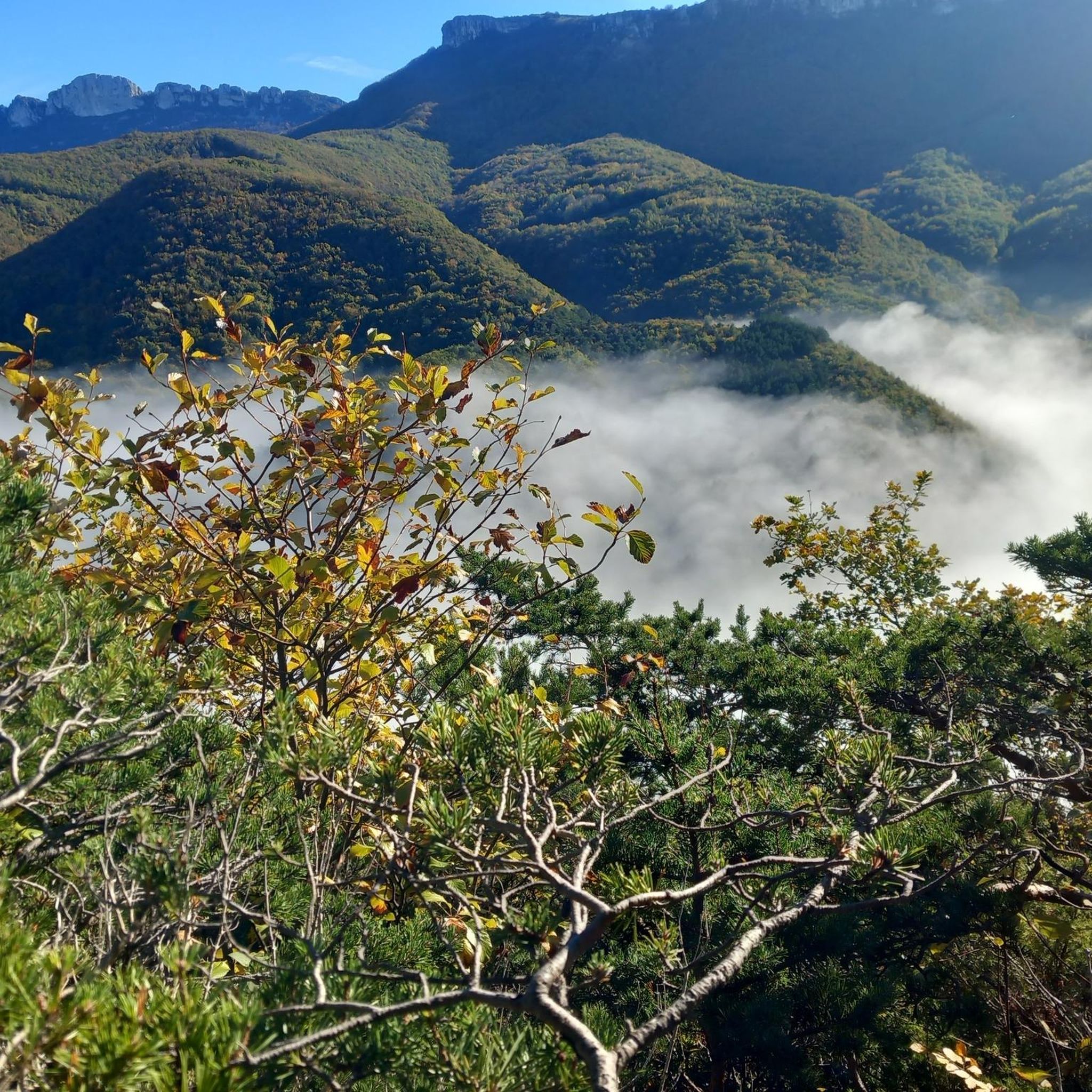
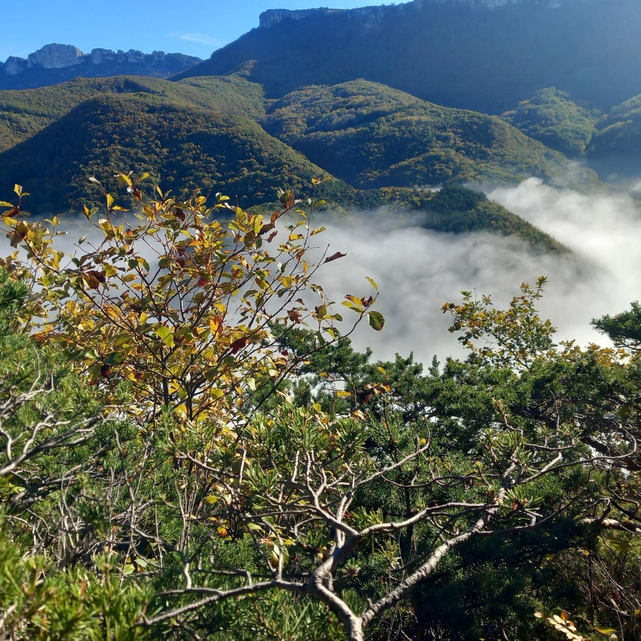
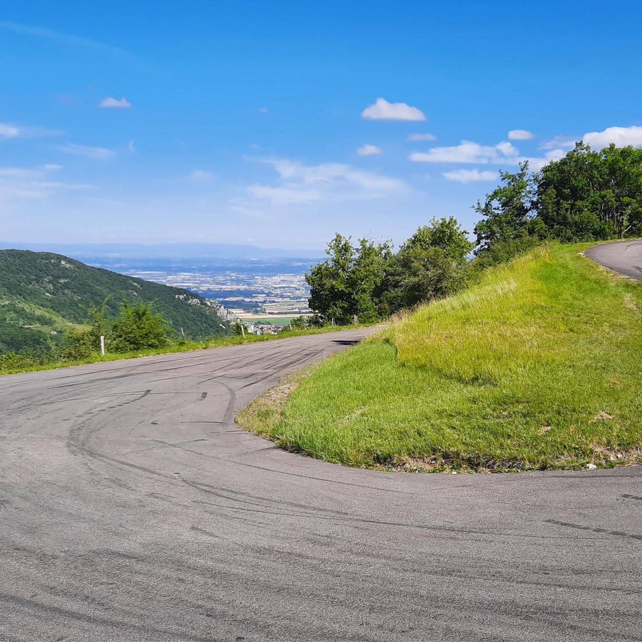
This step marks the entrance to the Vercors regional natural park. From up there it is possible to observe the plain to the west with the Ardèche mountains on the horizon. Below, a rocky area denotes with all the climb that it is forest. Early enough, it is possible to come across deer.
0
0
Frequently Asked Questions
How many running routes are available around Saint-Vincent-La-Commanderie?
There are over 10 dedicated running routes around Saint-Vincent-La-Commanderie, offering a variety of experiences from moderate loops to challenging mountain trails. The komoot community has explored these routes over 2000 times.
What kind of terrain can I expect on the jogging trails in Saint-Vincent-La-Commanderie?
The terrain is quite varied, ranging from 326 meters to 1,108 meters in elevation. You'll find gentle paths, significant climbs, and exhilarating descents, especially in the Monts du Matin and towards the Vercors mountains. Rocky formations like the Rochers de Treillaras and serene stream paths along the Ruisseau de la Boisse also characterize the landscape.
Are there any easy running routes for beginners or families?
While many routes are rated as difficult, there are moderate options available. For example, the Les Bocances loop from Saint-Vincent-la-Commanderie is a moderate 6.5-mile (10.4 km) path that winds through lush greenery, offering a balanced experience with varied terrain suitable for those looking for a less strenuous run.
What are some challenging running routes in the area?
For experienced runners seeking a challenge, the Saint Vincent Pass loop from Saint-Vincent-la-Commanderie is a difficult 12.0-mile (19.3 km) trail with significant elevation changes and panoramic views. Another demanding option is the Running loop from Saint-Vincent-la-Commanderie, which is 5.5 miles (8.9 km) and leads through the Monts du Matin.
What natural features or landmarks can I see while running in Saint-Vincent-La-Commanderie?
You can encounter dramatic natural elements like the Rochers de Treillaras, including the double natural arch known as L'Arche de Saint-Vincent de la Commanderie. The serene Ruisseau de la Boisse carves a narrow defile, offering enchanting paths. Additionally, the region is dotted with cols and côtes such as Col de Côteplane and Côte Ballon, providing panoramic views. You might also spot historical remnants like the XVth-century Saint-Vincent church in the charming village.
Are there any waterfalls or mountain passes accessible from the running routes?
Yes, the region is close to several notable natural attractions. While running, you might be able to access areas near the Druise Waterfall or explore various mountain passes like Jérôme Cavalli Pass, Col de Bacchus, or Col de la Bataille, which offer stunning views and challenging ascents.
What do other runners think about the trails in Saint-Vincent-La-Commanderie?
The running routes in Saint-Vincent-La-Commanderie are highly rated by the komoot community, with an average score of 4.5 stars from over 40 reviews. Runners often praise the varied terrain, the stunning backdrop of the Monts du Matin and Vercors mountains, and the preserved natural beauty of the Parc Naturel Régional du Vercors.
Are the running routes in Saint-Vincent-La-Commanderie dog-friendly?
Many trails in the region are suitable for dogs, especially those in the natural areas. However, as the area is part of the Parc Naturel Régional du Vercors, it's always advisable to keep dogs on a leash to protect wildlife and ensure a pleasant experience for all users. Check local signage for specific regulations on individual trails.
Is there public transport access to the trailheads in Saint-Vincent-La-Commanderie?
Saint-Vincent-La-Commanderie is a small village, and while public transport options might be limited directly to all trailheads, it is generally accessible by regional bus services. For specific routes and schedules, it's best to consult local transport authority websites for the Drôme department. Many visitors prefer to arrive by car to access the wider network of trails.
Where can I park when visiting Saint-Vincent-La-Commanderie for a run?
Parking is generally available within the village of Saint-Vincent-La-Commanderie, often near the main street or designated public parking areas. For specific trailheads outside the village, informal parking spots may be available, but it's always recommended to park responsibly and respect local residents.
What is the best time of year for running in Saint-Vincent-La-Commanderie?
The region offers good running conditions for much of the year. Spring and autumn provide pleasant temperatures and vibrant scenery. Summer can be warm, so early morning or late afternoon runs are ideal. Winter running is possible, especially on lower elevation trails, but higher mountain paths may require appropriate gear due to snow or ice.
Are there any circular running routes available?
Yes, many of the routes around Saint-Vincent-La-Commanderie are designed as loops, allowing you to start and finish in the same location. Examples include the Saint Vincent Pass loop from Saint-Vincent-la-Commanderie and the Les Bocances loop from Saint-Vincent-la-Commanderie, providing convenient options for your run.
Most popular routes around Saint-Vincent-La-Commanderie
Most popular attractions around Saint-Vincent-La-Commanderie

Get inspired with the komoot mobile app


Explore more
Browse the best Running Trails & Routes in other regions.
