The best road cycling routes around Beauvoisin
4.5
(699)
20,268
riders
152
rides
Road cycling around Beauvoisin features a diverse landscape characterized by rolling hills, river valleys, and the foothills of larger mountain ranges. The region offers a mix of challenging climbs over cols and scenic routes through natural parks. Road cyclists can expect varied terrain, from winding roads through gorges to open stretches with panoramic views.
Best road cycling routes around Beauvoisin
- The most popular road cycling route is The cols of Aulan and Fontaube — Parc naturel régional des Baronnies provençales…
Last updated: August 29, 2026
4.8
(72)
1,224
riders
Moderate road ride. Good fitness required. Mostly well-paved surfaces and easy to ride.
4.9
(8)
699
riders
110km
05:44
1,990m
1,990m
Hard road ride. Very good fitness required. Mostly well-paved surfaces and easy to ride.

Sign up for free
4.4
(23)
550
riders
38.9km
01:59
550m
550m
Moderate road ride. Good fitness required. Some segments of this route may be unpaved and difficult to ride.
4.7
(22)
534
riders
54.4km
02:42
850m
850m
Moderate road ride. Good fitness required. Mostly well-paved surfaces and easy to ride.
5.0
(6)
187
riders
56.2km
02:34
670m
670m
Moderate road ride. Good fitness required. Mostly well-paved surfaces and easy to ride.
Get access to more routes and recommendations from other explorers.
Sign up for free
Already have an account?
Our route recommendations are based on thousands of hikes, rides, and runs completed by other people on komoot.
Start today with a free account
Your next adventure awaits.
Login or Signup


Tips from the Community

For cyclists: * West side (Montauban-sur-l’Ouvèze / La Combe): 11-12.5 km with an average gradient of around 5%, maximum about 9%. Steady climb, never extreme. * East side (Laborel): 8.5 km at 5.6% on average, with peaks up to 7.7%. This is the shorter and smoother side.
14
0
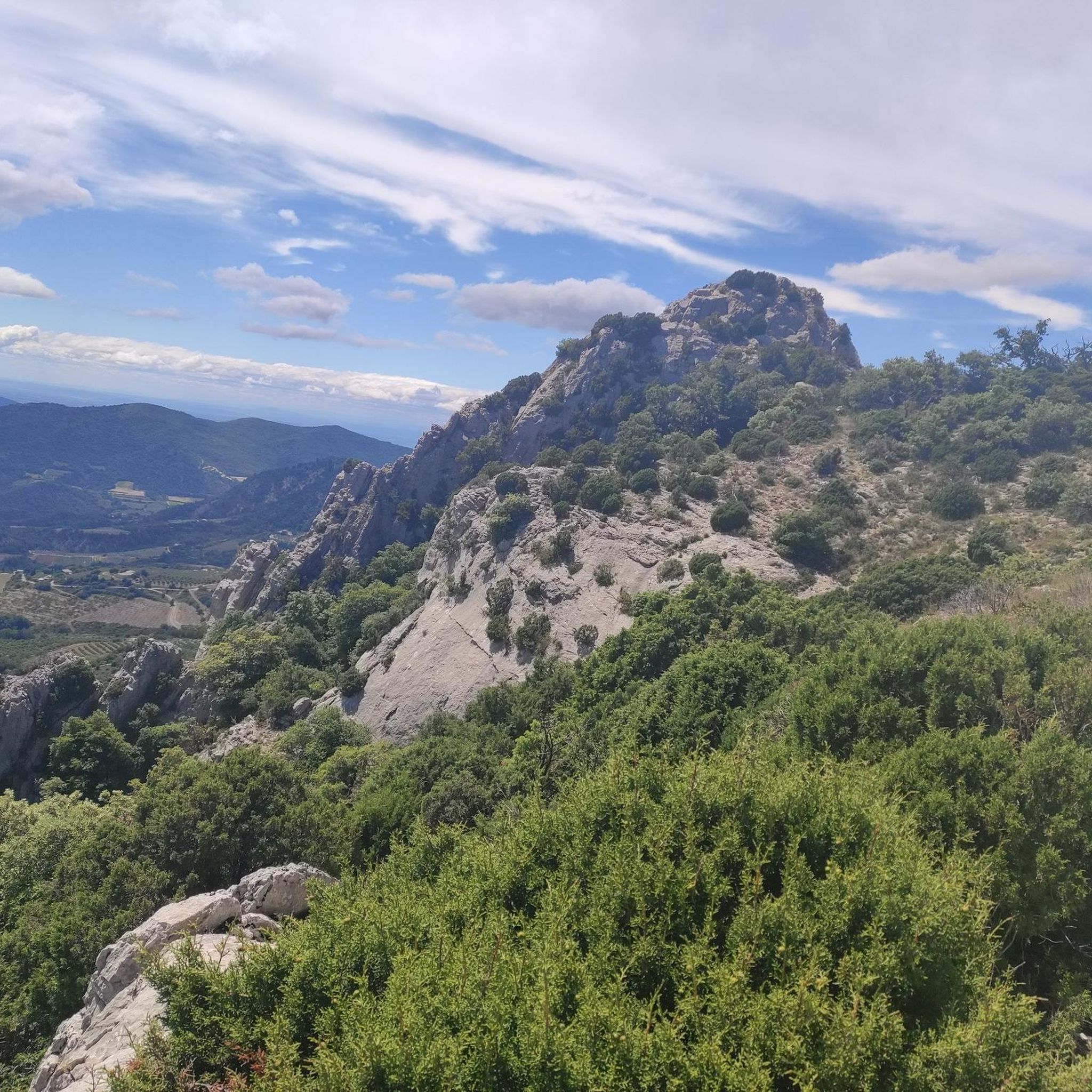
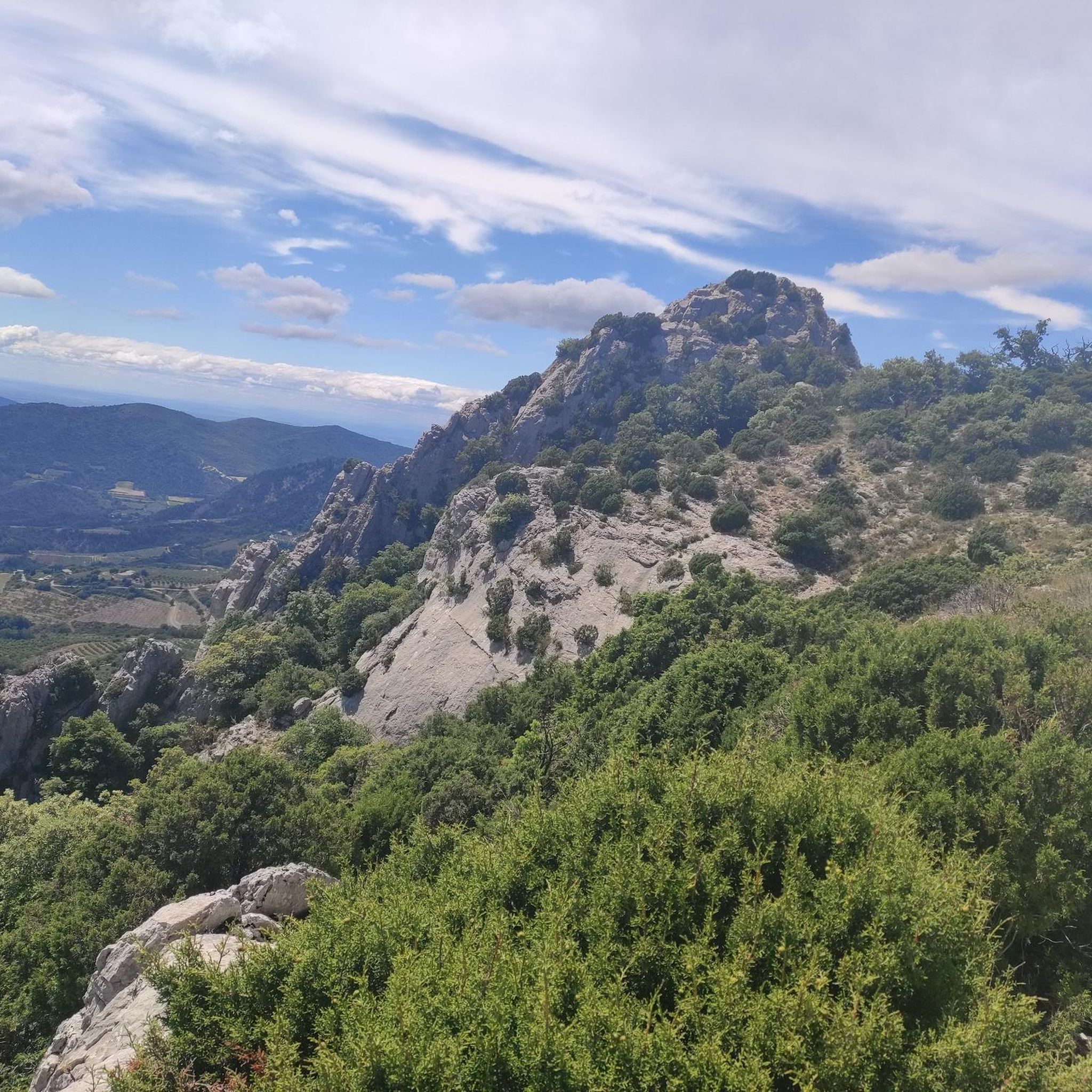
Col de Perty is located in the Baronnies Provençales massif, in the Drôme department, in the Auvergne-Rhône-Alpes region, in the southeast of France. It reaches an altitude of 1,302 m and connects the Ouvèze valley with the Orpierre area, in the Hautes-Alpes.
13
0
Easy climb away from traffic. The asphalt is in perfect condition.
11
0

This is one of my favorites
0
0
Total moment of solitude and grandeur before the landscape
0
0
Magnificent landscapes and incredible coolness so early in the morning
0
0

Very beautiful, old place with a great distant view, including the Ventoux.
0
0
Beautiful ascent with relatively little road traffic.
0
0
Frequently Asked Questions
How many road cycling routes are available around Beauvoisin?
There are over 150 road cycling routes in the Beauvoisin area, catering to various skill levels. This includes 23 easy routes, 83 moderate routes, and 44 difficult routes, offering a wide range of options for cyclists.
What are the difficulty levels of road cycling routes in Beauvoisin?
Beauvoisin offers a diverse range of road cycling routes. You'll find easy routes suitable for beginners, numerous moderate routes for intermediate riders, and challenging difficult routes with significant elevation gains for experienced cyclists. For example, the Gorges d'Aulan – Col d'Aulan loop from Buis-les-Baronnies is a difficult route featuring substantial climbs.
Are there long-distance road cycling routes available in the region?
Yes, Beauvoisin features several long-distance road cycling routes. For instance, the Gorges d'Aulan – Col d'Aulan loop from Buis-les-Baronnies covers over 110 km, and the Trente-Pas gorge – Gorges de Trente-Pas loop from Rochebrune is also over 109 km, both offering extensive rides through varied terrain.
When is the best time of year to go road cycling in Beauvoisin?
The Beauvoisin region, with its Mediterranean climate, is generally pleasant for road cycling from spring through autumn. Spring offers mild temperatures and blooming landscapes, while autumn provides cooler weather and vibrant colors. Summer can be warm, so early morning or late afternoon rides are often preferred during this season.
Which road cycling routes offer the most scenic views or viewpoints?
Many routes in Beauvoisin are known for their scenic beauty, traversing through gorges, cols, and natural parks. The Scenic route to Propiac – Faucon loop from Buis-les-Baronnies is specifically highlighted for its picturesque landscapes. Routes passing through the Parc naturel régional des Baronnies provençales also offer stunning panoramic views.
What kind of natural attractions can I see along the road cycling routes?
The region around Beauvoisin is rich in natural attractions. Cyclists can encounter impressive gorges like the Entrance to the Toulourenc Gorges, Ubrieux Gorge, and Gorges de Saint-May. There are also unique geological formations such as the Baume des Eyguiers Grotto and the dramatic Narrow Chimney Passage of Le Châtelard.
Are there many loop road cycling routes in Beauvoisin?
Yes, many road cycling routes in Beauvoisin are designed as loops, allowing you to start and finish at the same point. Examples include the challenging Gorges d'Aulan – Col d'Aulan loop from Buis-les-Baronnies and the moderate Rocher du Saint Julien – Mollans-sur-Ouvèze loop from Buis-les-Baronnies.
What do other road cyclists enjoy the most about road cycling in Beauvoisin?
The road cycling experience in Beauvoisin is highly rated by the komoot community, with an average score of 4.5 stars from over 600 reviews. Cyclists frequently praise the varied terrain, from challenging cols to scenic routes through natural parks, and the well-maintained roads that offer both exhilarating climbs and picturesque descents.
Are there easy road cycling routes suitable for beginners or families?
Yes, Beauvoisin offers 23 easy road cycling routes that are suitable for beginners or families looking for a less strenuous ride. These routes typically feature gentler gradients and shorter distances, allowing for a more relaxed exploration of the region's beauty.
What are some advanced road cycling routes for experienced riders?
For experienced riders seeking a challenge, Beauvoisin has 44 difficult routes. The Gorges d'Aulan – Col d'Aulan loop from Buis-les-Baronnies is a prime example, featuring significant elevation gain over 110 km. Another demanding option is the Trente-Pas gorge – Gorges de Trente-Pas loop from Rochebrune, which also includes substantial climbing.
Are there specific routes that pass through the Parc naturel régional des Baronnies provençales?
Yes, the region's natural beauty is a highlight. The popular route The cols of Aulan and Fontaube — Parc naturel régional des Baronnies provençales directly navigates through this stunning regional natural park, offering cyclists picturesque landscapes and challenging mountain passes.
Most popular routes around Beauvoisin
Most popular attractions around Beauvoisin

Get inspired with the komoot mobile app


Explore more
Browse the best Road cycling routes in other regions.
