The best walks and hikes around Bollwiller
4.5
(2412)
13,639
hikers
688
hikes
Hiking around Bollwiller provides access to the diverse landscapes of the Haut-Rhin department, situated near the Vosges Mountains and the Parc Naturel Régional des Ballons des Vosges. The region features a varied terrain including beech and fir forests, high stubble fields, and deep valleys. Hikers can experience routes with significant elevation changes, offering views of the Alsace plain and the distant Black Forest. This area is characterized by its natural features and a network of trails suitable for various outdoor…
Last updated: June 28, 2026
4.3
(7)
39
hikers
14.1km
04:44
670m
670m
Moderate hike. Good fitness required. Mostly accessible paths. Sure-footedness required.
42
hikers
14.2km
04:17
410m
410m
Moderate hike. Good fitness required. Mostly accessible paths. Sure-footedness required.

Sign up for free
5.0
(1)
25
hikers
Easy hike. Great for any fitness level. Easily-accessible paths. Suitable for all skill levels.
4.5
(4)
16
hikers
27.5km
09:20
1,240m
1,240m
Hard hike. Very good fitness required. Sure-footedness, sturdy shoes and alpine experience required.
5.0
(2)
15
hikers
17.6km
05:37
730m
730m
Hard hike. Very good fitness required. Easily-accessible paths. Suitable for all skill levels.
Get access to more routes and recommendations from other explorers.
Sign up for free
Already have an account?
Our route recommendations are based on thousands of hikes, rides, and runs completed by other people on komoot.
Start today with a free account
Your next adventure awaits.
Login or Signup

Tips from the Community

A picnic table + benches with a view.
0
0

Sturdy shoes recommended, sometimes loose stones.
0
0
In nice weather a view of the Alps
0
0

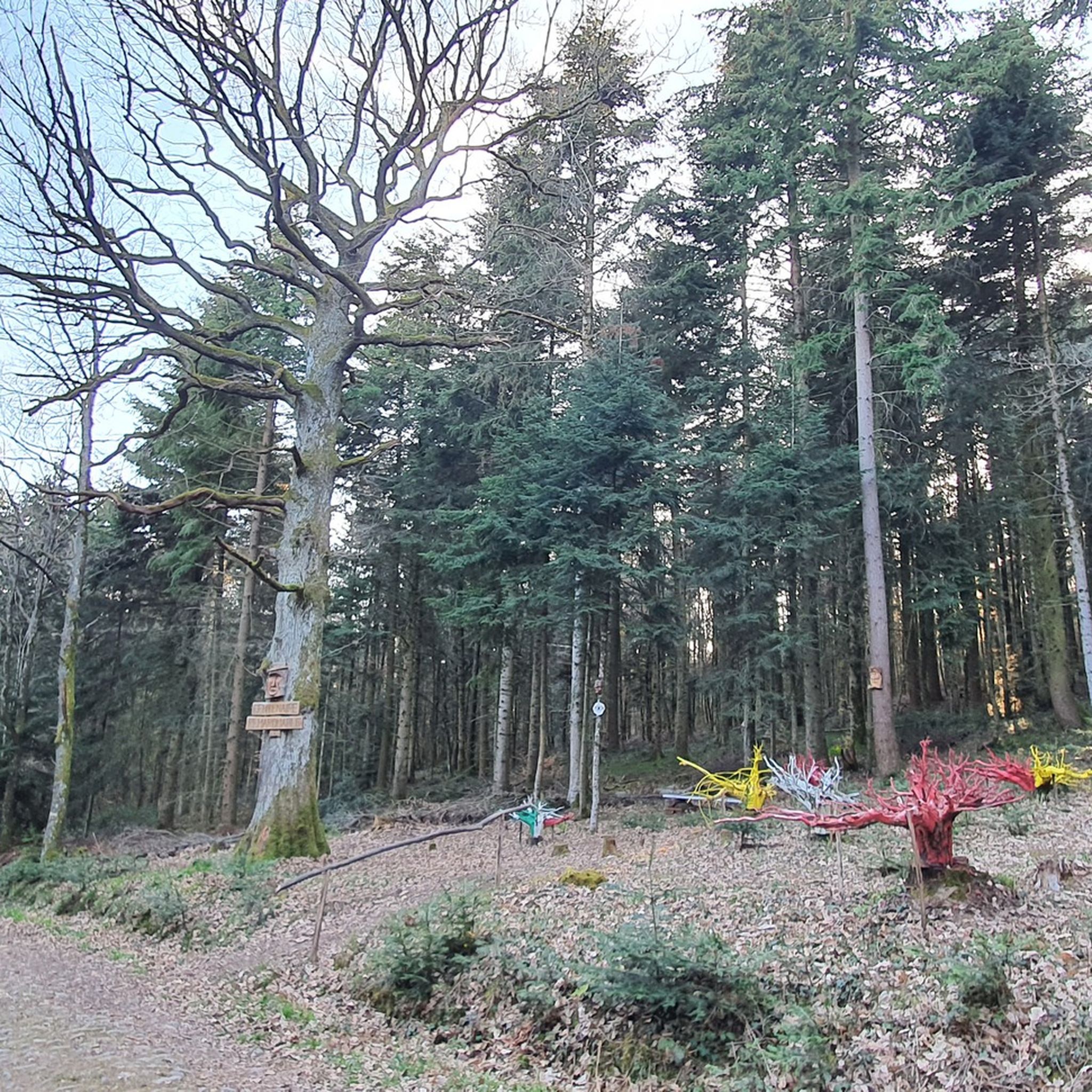
Although he is dead, he remains proud and upright like a sculpture in the middle of the forest.
0
0

At the summit of the Grand-Ballon stands the monument of the Blue Devils, erected on the initiative of the French Alpine Club and the Vosges Club in homage to the victims of the Alpine hunter battalions engaged in the fighting of the 1914-1918 war.
0
0
The radar was designed as an architectural masterpiece by its designer, Claude Vasconi, and was built in 1997. Under the radome, visitors can access an orientation table offering superb views.
0
0

Beautiful hike and the view at the top is breathtaking!!
0
0

It is impressive how quickly conditions can change in bad weather on the way to the Grand Ballon
0
0
Frequently Asked Questions
How many hiking trails are available around Bollwiller?
There are over 670 hiking trails around Bollwiller, offering a wide range of options from easy strolls to more challenging climbs. This includes over 280 easy routes, more than 340 moderate trails, and around 40 difficult paths for experienced hikers.
What kind of terrain can I expect on hikes near Bollwiller?
Hiking around Bollwiller offers diverse terrain, largely influenced by its proximity to the Vosges Mountains and the Parc Naturel Régional des Ballons des Vosges. You'll encounter beech and fir forests, high stubble fields, deep valleys, and sometimes glacial cirques. Many routes feature significant elevation changes, providing panoramic views of the Alsace plain and even the distant Black Forest on clear days.
Are there easy hiking trails suitable for beginners or families in Bollwiller?
Yes, Bollwiller offers numerous easy hiking trails perfect for beginners or families. For example, the Wading in the Thur (Alsace) – Beautiful blue metal bridge loop from Pulversheim is a shorter, less strenuous option. The region also has local walking circuits, such as those departing from the MJC parking lot, which are designed for leisurely exploration of the commune and its surroundings.
Are there any circular hiking routes around Bollwiller?
Many of the trails around Bollwiller are circular routes, allowing you to start and end at the same point. The local walking circuits within Bollwiller itself are circular, and several longer routes in the wider region, like the Monument to the 152nd Regiment – Tunnel loop from Haut-Rhin, are also designed as loops.
What are some notable landmarks or viewpoints I can discover while hiking near Bollwiller?
While hiking near Bollwiller, you can explore various historical sites and enjoy stunning viewpoints. The Viewpoint at the summit of Vieil Armand offers expansive vistas. You might also encounter historical monuments like the Hartmannswillerkopf National Monument and Military Cemetery. Some trails, such as the Roche Sermet – German Trench loop from Haut-Rhin, lead through significant historical sites.
What do other hikers enjoy most about hiking in Bollwiller?
The hiking trails around Bollwiller are highly rated by the komoot community, with an average score of 4.5 stars from over 2,100 reviews. Hikers often praise the diverse landscapes, from dense forests to open stubble fields, and the well-maintained network of trails. The opportunity to experience both natural beauty and historical sites is also frequently highlighted.
Is it possible to reach hiking trails near Bollwiller using public transport?
Yes, it is possible to access some hiking starting points in the broader Vosges region by public transport. While direct access to every trailhead from Bollwiller might vary, towns like Thann or Kruth, which are gateways to the Vosges mountains, can be reached by train. During summer, a shuttle service called the Navette des Crêtes transports hikers to higher-altitude areas like Markstein, offering further access to trails.
Are there any long-distance hiking options near Bollwiller?
Yes, for those seeking more challenging and longer excursions, the region offers routes with significant elevation gain. The Superb panorama of the Vosges – Grand Ballon loop from Haut-Rhin is a difficult 17-mile (27.5 km) trail that requires excellent physical condition and offers extensive views, including from the Grand Ballon, the highest point of the Vosges massif.
What is the best time of year for hiking in Bollwiller?
The best time for hiking in Bollwiller and the surrounding Vosges region is generally from spring through autumn. During these seasons, the weather is milder, and the trails are more accessible. Spring brings blooming flora, while autumn offers vibrant fall colors. Summer is also popular, but higher elevations can be quite warm. Winter hiking is possible but may require specific gear and experience due to snow and ice, especially in the higher Vosges mountains.
Are there places to eat or drink along the hiking routes near Bollwiller?
While specific cafes or pubs directly on every trail might be limited, the broader Vosges region is known for its traditional farm inns (fermes auberges). These establishments are often found in scenic locations and offer local specialties, providing a welcoming stop for hikers to refuel after a day on the trails. It's advisable to check their locations relative to your chosen route.
Can I hike with my dog on trails near Bollwiller?
Many trails in the Vosges region and around Bollwiller are dog-friendly, allowing you to enjoy the natural beauty with your canine companion. However, it's always recommended to keep your dog on a leash, especially in protected areas like the Parc Naturel Régional des Ballons des Vosges, to protect local wildlife and ensure a pleasant experience for all hikers. Always check for specific signage or regulations at trailheads.
What are the natural features that make hiking in Bollwiller unique?
The unique natural features around Bollwiller stem from its location near the Parc Naturel Régional des Ballons des Vosges. Hikers can experience high stubble fields, ancient peat bogs, dense beech and fir forests, and calcareous grasslands. The region is also rich in biodiversity, home to rare species and a significant chamois population on the Vosges ridges, making for a truly immersive natural experience.
Most popular routes around Bollwiller
Most popular attractions around Bollwiller

Get inspired with the komoot mobile app


Explore more
Browse the best Hikes in other regions.
