Attractions and Places To See around Cabrespine - Top 20
Best attractions and places to see around Cabrespine, a region in the Aude department, offer diverse exploration opportunities. This area is characterized by its natural landmarks, historical sites, and scenic routes through the Montagne Noire. Visitors can discover summits with panoramic views, impressive waterfalls, and historical structures. The landscape provides a mix of forested areas and rugged terrain, making it suitable for various outdoor activities.
Best attractions and places to see around Cabrespine
- The most popular attractions is A beautiful…
Last updated: July 6, 2026
Pic de Nore
Highlight • Summit
Translated by Google •
Tip by

Pic de Nore Summit
Highlight • Summit
Translated by Google •
Tip by

Sign up now to discover places like this
Get recommendations on the best single tracks, peaks, & plenty of other exciting outdoor places.
Sign up for free
Cubserviès Waterfall
Highlight • Waterfall
Translated by Google •
Tip by

Roquefère Castle
Highlight • Castle
Translated by Google •
Tip by

Ascent of Pic de Nore
Highlight (Segment) • Other
Translated by Google •
Tip by

Sign up for free to discover even more attractions around Cabrespine.
Sign up for free
Already have an account?
Start today with a free account
Your next adventure awaits.
Login or Signup

Tips from the Community


Save your energy for the last 5km, be careful when it's windy.
0
0

We like to compare, the Pic de Nore is a small Ventoux, its climbs from Mazamet or Villeneuve-Minervois are not as steep as that of the Ventoux from Bédoin but they still have to be earned. They are 17 and 22 km respectively, have an average gradient of 5.5% and 4.56%, with a maximum gradient of 11.8% and 10%. For my part, I chose to join Pradelles-Cabardès via the forests from Limousis, passing in particular the Soulanes de Nore, I was treated to some good slopes with a double-digit percentage ... Two legends would explain its name: in the first it is the fairy Nore who, annoyed by the damage caused to the crops by the Cers wind, would have planted her pike in the ground there, and as if by magic the rocks would have accumulated around to form the Pique de Nore. In the second, the wind of Cers is still blamed for its damage to human crops, not only there, and it is Nore, Bug and Arach who went to complain to Jupiter. Jupiter does not like to be disturbed, he transformed Nore into a mountain and Bug and Arach into the summit of Bugarach ...
3
0

At 90 meters high, it is the highest waterfall in the Aude department. For a bird's eye view of the fall, you have to go to the hamlet of Cubserviès. There is no access to the foot of the waterfall.
0
0

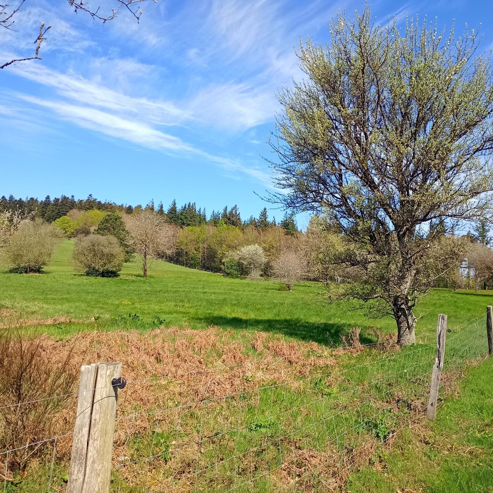
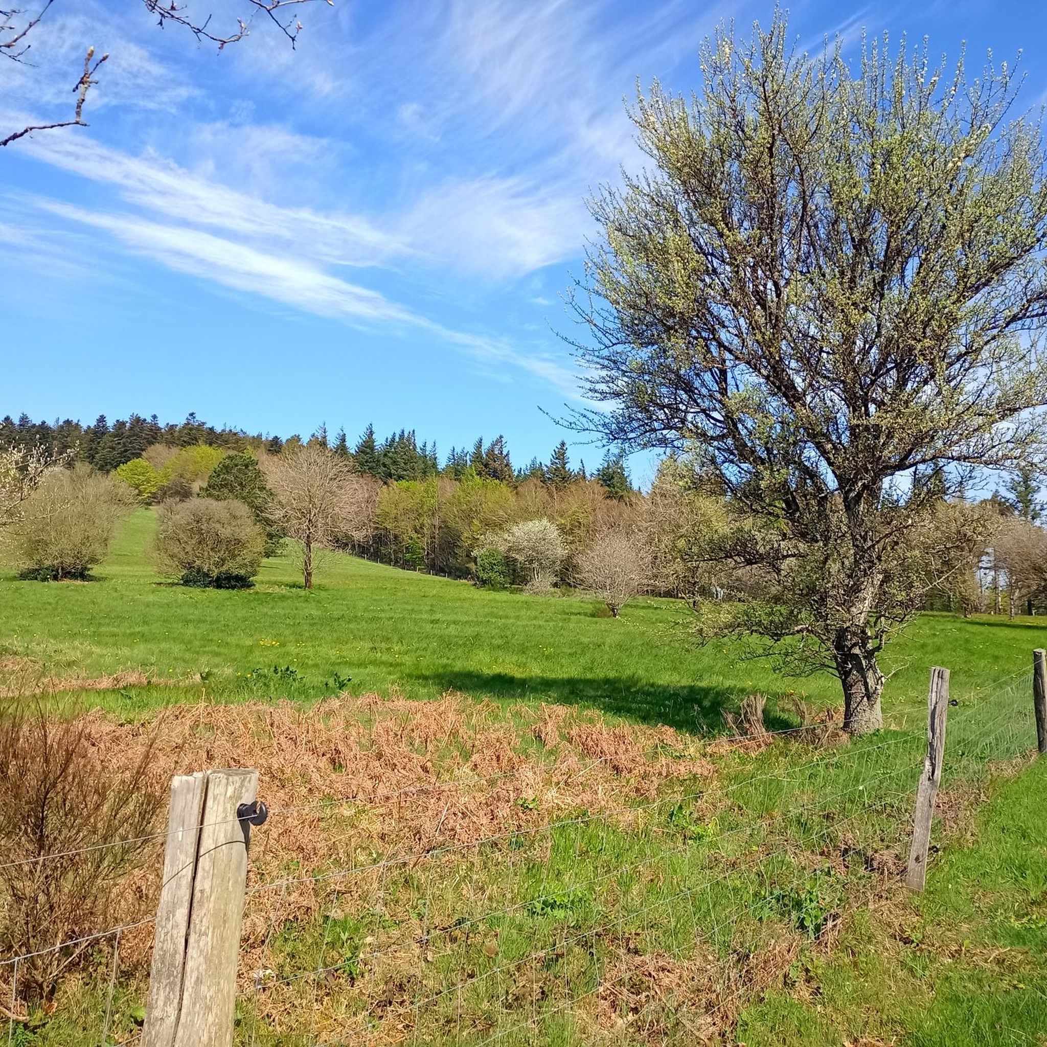
Very nice walk, varied nature, beautiful view, very pretty heather ☺️ Partially shaded.
1
1

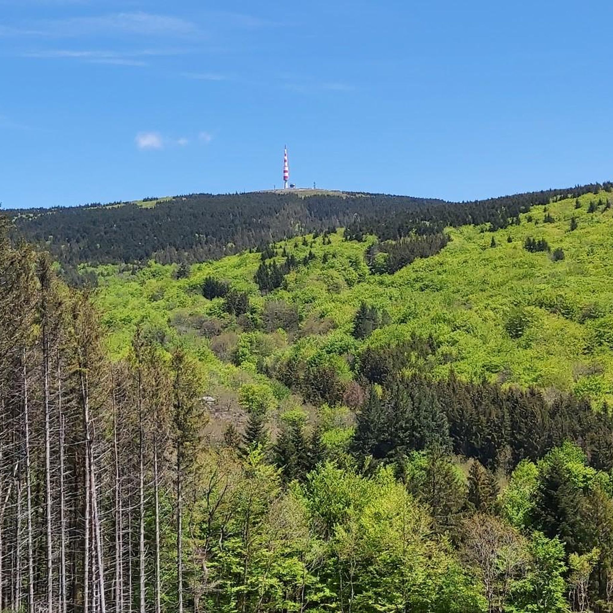
Despite its low altitude (only 1,211 meters), the Pic de Nore, located in the Aude department and the highest point of the Montagne Noire, can experience extremely harsh weather conditions. You can't miss its imposing red and white television antenna.
0
0

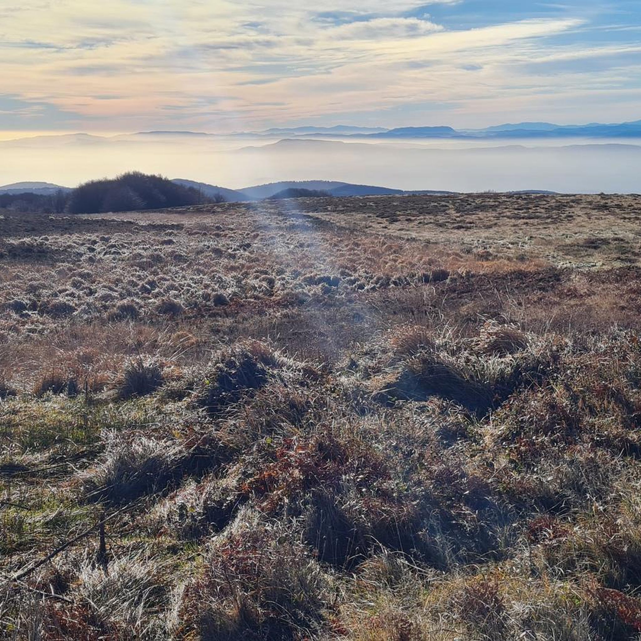
The Pic de Nore is a small flat peak that culminates at 1,211 meters. It offers a superb 360° panorama of the Montagne Noire and the south-western limits of the Haut-Languedoc regional natural park.
2
0
Frequently Asked Questions
What natural features can I explore around Cabrespine?
The region offers impressive natural landmarks. You can visit the Cubserviès Waterfall, the highest in the Aude department, offering a 45-meter drop visible from a belvedere. For panoramic views, head to Pic de Nore, the highest point of the Montagne Noire, providing a 360° vista.
Are there historical sites to visit near Cabrespine?
Yes, the area is rich in history. Explore Roquefère Castle, a 12th-century structure that served as a surveillance point. You can also walk along the ancient Roman road, also known as the salt road, where you can still see traces of cart passages in the stone.
What kind of cycling opportunities are available?
Cyclists can enjoy a variety of routes. The Passa Païs greenway offers a beautiful unpaved section suitable for hybrid, mountain, and gravel bikes, following an old railway line through trees. For more options, explore the Cycling around Cabrespine guide, which includes routes to Pic de Nore.
Are there any running trails in the Cabrespine area?
Yes, there are several challenging running trails. You can find routes like the 'Gouffre de Cabrespine Loop Trail' or a loop from Cabrespine to Pic de Nore. For detailed information and more options, refer to the Running Trails around Cabrespine guide.
What are the weather conditions like at Pic de Nore?
Despite its relatively low altitude of 1,211 meters, Pic de Nore can experience extremely harsh weather conditions. Be prepared for strong winds and temperature changes, especially when planning a visit to enjoy its 360° panorama.
What should I know about visiting Cubserviès Waterfall?
The Cubserviès Waterfall is 90 meters high, with its most impressive 45-meter drop visible from a belvedere in the hamlet of Cubserviès. There is no direct access to the foot of the waterfall, but a path is available around the Rieutort stream. The surrounding area features chestnut thickets and young forests of pines, larches, spruces, and douglas firs, providing shade for hikers in summer.
Are there any circular walks around Cabrespine?
While specific circular walks are not detailed in the highlights, many routes in the area, including those mentioned in the Running Trails around Cabrespine guide, are designed as loops. For example, there's a 'Superbe panorama – Roman road loop from Cabrespine' which incorporates the historical Roman road.
What kind of bikes are suitable for the Passa Païs greenway?
The Passa Païs greenway is unpaved, making it best suited for hybrid bikes, mountain bikes, and gravel bikes. This ensures a comfortable ride along the old railway line.
Is there drinking water available at Roquefère Castle?
Yes, near Roquefère Castle, you will find a drinking water tap on the small square next to the road, right beside a fountain with a metal wheel. This can be useful for hikers and visitors.
What are some challenging hiking trails near Cabrespine?
The region offers challenging trails, particularly those that incorporate the historical Roman road, which can be slippery in places. Routes like the 'Lac de Pradelles-Cabardès – Pic de Nore loop from Cabrespine' are also rated as difficult. More challenging options can be found in the Running Trails around Cabrespine guide, which often overlap with hiking paths.
What do visitors appreciate most about the attractions around Cabrespine?
Visitors particularly enjoy the diverse exploration opportunities, from the panoramic views at Pic de Nore to the impressive Cubserviès Waterfall. The historical significance of sites like the Roman road and the scenic routes like the Passa Païs greenway are also highly valued by the komoot community.
Most popular routes around Cabrespine
Most popular attractions around Cabrespine

Get inspired with the komoot mobile app


Explore more
Still not found the Highlight you’re looking for? See guides of the top attractions in other regions:
