The best walks and hikes around Landkreis Ravensburg
4.5
(25211)
105,505
hikers
4,254
hikes
Hiking around Landkreis Ravensburg offers diverse landscapes, from the rolling hills and meadows of the Allgäu region to extensive moorlands and numerous lakes. The district features varied topography, including moraine ridges and drumlin landscapes, remnants of glacial activity. Forests are prevalent throughout the region, providing shaded paths and natural habitats. This area is characterized by its blend of gentle hills, river valleys, and significant nature reserves, catering to a range of outdoor activities.
Best hiking trails around Landkreis Ravensburg
- The…
Last updated: October 4, 2026
4.7
(409)
1,473
hikers
Moderate hike. Good fitness required. Easily-accessible paths. Suitable for all skill levels.
4.7
(389)
1,392
hikers
12.1km
03:05
30m
30m
Moderate hike. Good fitness required. Easily-accessible paths. Suitable for all skill levels.

4.7
(201)
674
hikers
7.47km
01:58
60m
60m
Easy hike. Great for any fitness level. Easily-accessible paths. Suitable for all skill levels.
4.2
(148)
540
hikers
15.0km
03:56
130m
130m
Moderate hike. Good fitness required. Easily-accessible paths. Suitable for all skill levels.
4.8
(663)
1,930
hikers
11.4km
03:09
200m
200m
Moderate hike. Good fitness required. Easily-accessible paths. Suitable for all skill levels.
4.8
(580)
1,812
hikers
9.90km
02:31
20m
20m
Moderate hike. Good fitness required. Easily-accessible paths. Suitable for all skill levels.
4.7
(417)
1,205
hikers
8.87km
02:25
130m
130m
Moderate hike. Good fitness required. Easily-accessible paths. Suitable for all skill levels.
4.7
(348)
1,315
hikers
12.1km
03:42
410m
410m
Moderate hike. Good fitness required. Mostly accessible paths. Sure-footedness required.
4.4
(25)
111
hikers
4.91km
01:20
70m
70m
Easy hike. Great for any fitness level. Easily-accessible paths. Suitable for all skill levels.
4.8
(211)
623
hikers
10.2km
02:40
80m
80m
Moderate hike. Good fitness required. Easily-accessible paths. Suitable for all skill levels.
Get access to more routes and recommendations from other explorers.
Already have an account?
Our route recommendations are based on thousands of hikes, rides, and runs completed by other people on komoot.
Start today with a free account
Your next adventure awaits.
Popular around Landkreis Ravensburg
Other adventures around Landkreis Ravensburg


Tips from the Community

A really beautiful piece of nature.
0
0

The gnarled roots on the hiking trail remind me that every firm step in life needs a strong hold and even the most winding paths can lead us safely to our destination.
0
0

From the former ramparts on the Adelegg in the Schmalegger Tobel, a narrow zigzag path leads down to the Adelmühle with its campsite and the nearby Wasser-Wunderbaum (water wonder tree). Surefootedness is necessary on the descent; extreme caution is advised in wet conditions and when covered with leaves. This section of the path is no longer part of the official hiking trails (yellow signposts) in the Schmalegger Tobel!
3
0

Finally a path over roots and stones... a relief after the wide gravel paths
1
0


A beautiful high forest, with the last part to the Schwarzen Grad being a root path. It's literally over stock and stone.
7
0

This is a completely new experience and fun, the Kneipp basin on the other side (without mud) is also practical for getting your feet clean again.
0
0
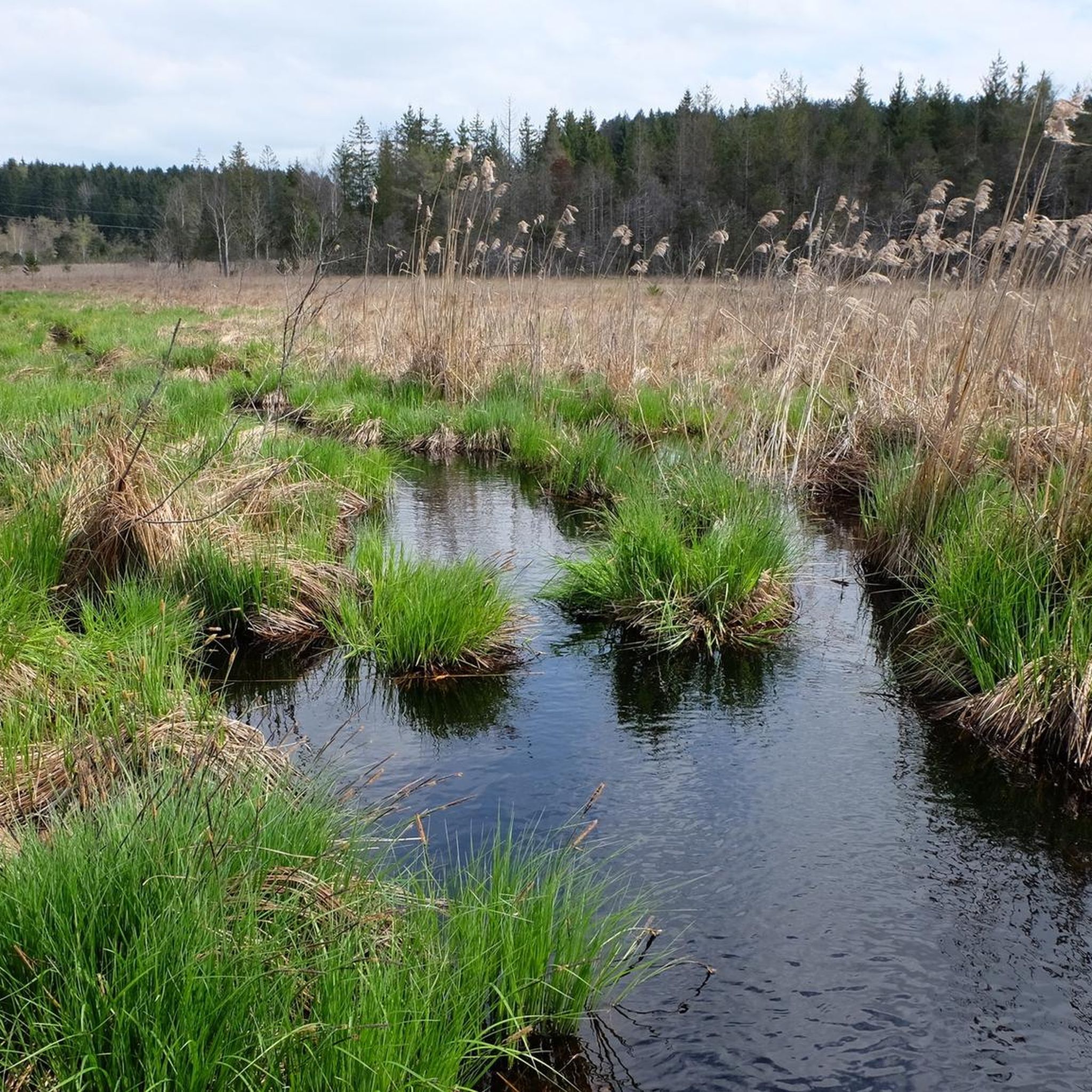
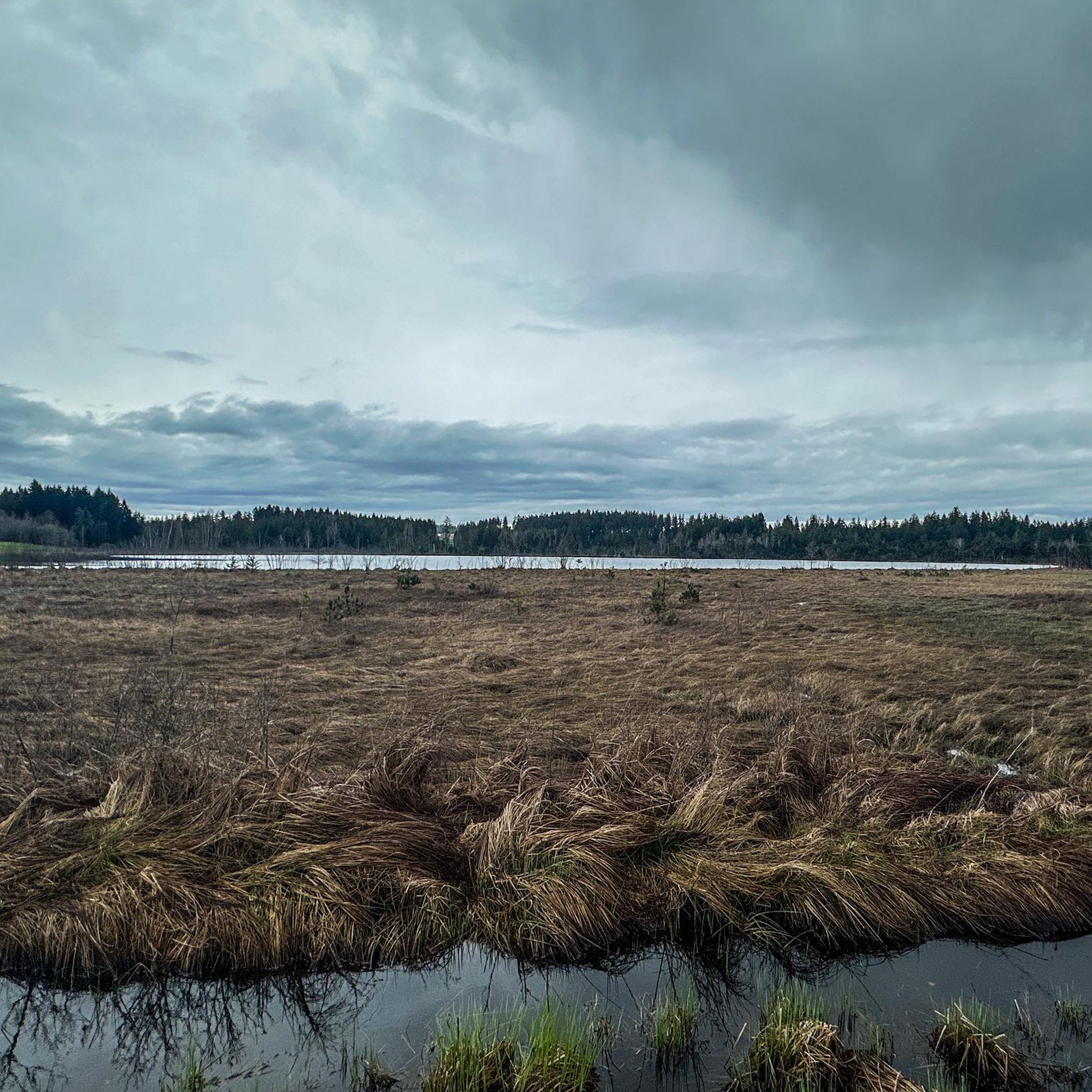
Beautiful path through the moorland with fantastic nature
0
0
Frequently Asked Questions
How many hiking trails are available in Landkreis Ravensburg?
Landkreis Ravensburg offers a vast network of over 4,100 hiking trails. This includes a wide range of options, from leisurely strolls to more demanding routes, ensuring there's something for every hiker.
What types of landscapes will I encounter while hiking in Landkreis Ravensburg?
The region boasts diverse landscapes, including the rolling hills and meadows of the Allgäu, the majestic Nagelfluhkette mountains, and the idyllic Upper Swabian hill country. You'll also find extensive moorlands, numerous lakes, and dense forests, all shaped by glacial activity.
Are there easy hiking trails suitable for families or beginners?
Yes, Landkreis Ravensburg has over 2,500 easy trails. For a pleasant family outing, consider the Hike in the Kißlegg lake district, which offers tranquil waterside views. Another accessible option is the Leutkirch Trilogy tour.
Where can I experience the unique moorland landscapes of the region?
The region is renowned for its extensive moorlands. The 'Moor-Weg – experience pure moorland' – hiking trail no. 1 in Bad Wurzach is an excellent choice, allowing you to explore the unique high moor landscape of the Wurzacher Ried Nature Reserve. You can also find moorland scenery on the Vogelsee loop from Pfrunger-Burgweiler Ried.
Are there any hikes that feature waterfalls or gorges?
Yes, the region offers natural wonders like the Eistobel Gorge, known for its large waterfall. For a specific route, the Schmalegger Tobel Waterfall – Bridge over the Glastobelbach loop from Schmalegg provides an adventurous experience with a waterfall.
What are some good viewpoints or scenic spots along the trails?
Landkreis Ravensburg offers several magnificent viewpoints. The Observation tower at Schwarzer Grat provides panoramic vistas that can stretch as far as Lake Constance and even Switzerland on clear days. Another excellent spot is the Wachbühl — View of the Alps, the highest elevation in Bad Wurzach.
Can I find circular hiking routes in Landkreis Ravensburg?
Many trails in Landkreis Ravensburg are designed as circular routes, offering convenient starting and ending points. The Argen Riverside Trail – Argen Riverside Beach loop from Achberg is a popular circular option, leading through scenic riverine landscapes.
What is the best time of year for hiking in Landkreis Ravensburg?
The best seasons for hiking are typically spring and autumn, when the weather is mild and the landscape is particularly vibrant with blossoming flowers or colorful foliage. Even in winter, cleared paths offer appealing options for scenic routes around frozen lakes and viewpoints.
Are dogs allowed on the hiking trails in Landkreis Ravensburg?
Generally, dogs are welcome on hiking trails in Landkreis Ravensburg. However, it's always recommended to keep them on a leash, especially in nature reserves, agricultural areas, and near wildlife, to protect both your pet and the local ecosystem.
What do other hikers enjoy most about hiking in Landkreis Ravensburg?
The komoot community highly rates the hiking experience in Landkreis Ravensburg, with an average score of 4.5 stars from over 20,000 reviews. Hikers often praise the region's diverse landscapes, well-marked paths, and the variety of routes catering to all ability levels, from tranquil lake walks to more challenging mountain views.
Are there any trails that explore the region's lakes?
Yes, the region is dotted with numerous lakes. Besides the Kißlegg lake district, you can explore trails around the Häckler Pond or the View of the Ursee – Herzlesweg at Badsee loop from Taufach- und Fetzachmoos mit Urseen, which offers beautiful lakeside scenery.
Can I find more challenging hikes with significant elevation gain?
While many trails are moderate, you can find routes with more elevation. The View of the Raggenhorn – Raggenhorn Summit Cross loop from Bolsternang, for instance, involves a notable ascent, offering rewarding views from the Raggenhorn Summit Cross.
Most popular routes around Landkreis Ravensburg
Most popular attractions around Landkreis Ravensburg

Get inspired with the komoot mobile app


Didn’t find what you were looking for?
Check out more Hikes throughout Landkreis Ravensburg below and find the perfect route in your destination.
Explore more
Browse the best Hikes in other regions.
