The best walks and hikes around Les Omergues
4.5
(90)
504
hikers
32
hikes
Hiking around Les Omergues offers access to the varied landscapes of the Alpes-de-Haute-Provence department, situated on the edge of the Drôme. The region features a blend of bucolic scenery and more rugged, mountainous terrain. Hikers can experience views of Mont Ventoux and explore the serene Jabron river valley. The area provides a network of trails suitable for different levels of experience.
Best hiking trails around Les Omergues
- The most popular hiking route is Col de l'Homme Mort (Dead Man Pass)…
Last updated: July 8, 2026
4.5
(4)
26
hikers
6.16km
01:46
160m
160m
Easy hike. Great for any fitness level. Easily-accessible paths. Suitable for all skill levels.
5.0
(1)
12
hikers
17.3km
05:45
780m
780m
Hard hike. Very good fitness required. Easily-accessible paths. Suitable for all skill levels.

Sign up for free
5.0
(1)
12
hikers
4.45km
01:22
160m
160m
Easy hike. Great for any fitness level. Easily-accessible paths. Suitable for all skill levels.
4
hikers
4.70km
01:16
60m
60m
Easy hike. Great for any fitness level. Easily-accessible paths. Suitable for all skill levels.
11.5km
03:21
310m
310m
Moderate hike. Good fitness required. Easily-accessible paths. Suitable for all skill levels.
Get access to more routes and recommendations from other explorers.
Sign up for free
Already have an account?
Our route recommendations are based on thousands of hikes, rides, and runs completed by other people on komoot.
Start today with a free account
Your next adventure awaits.
Login or Signup
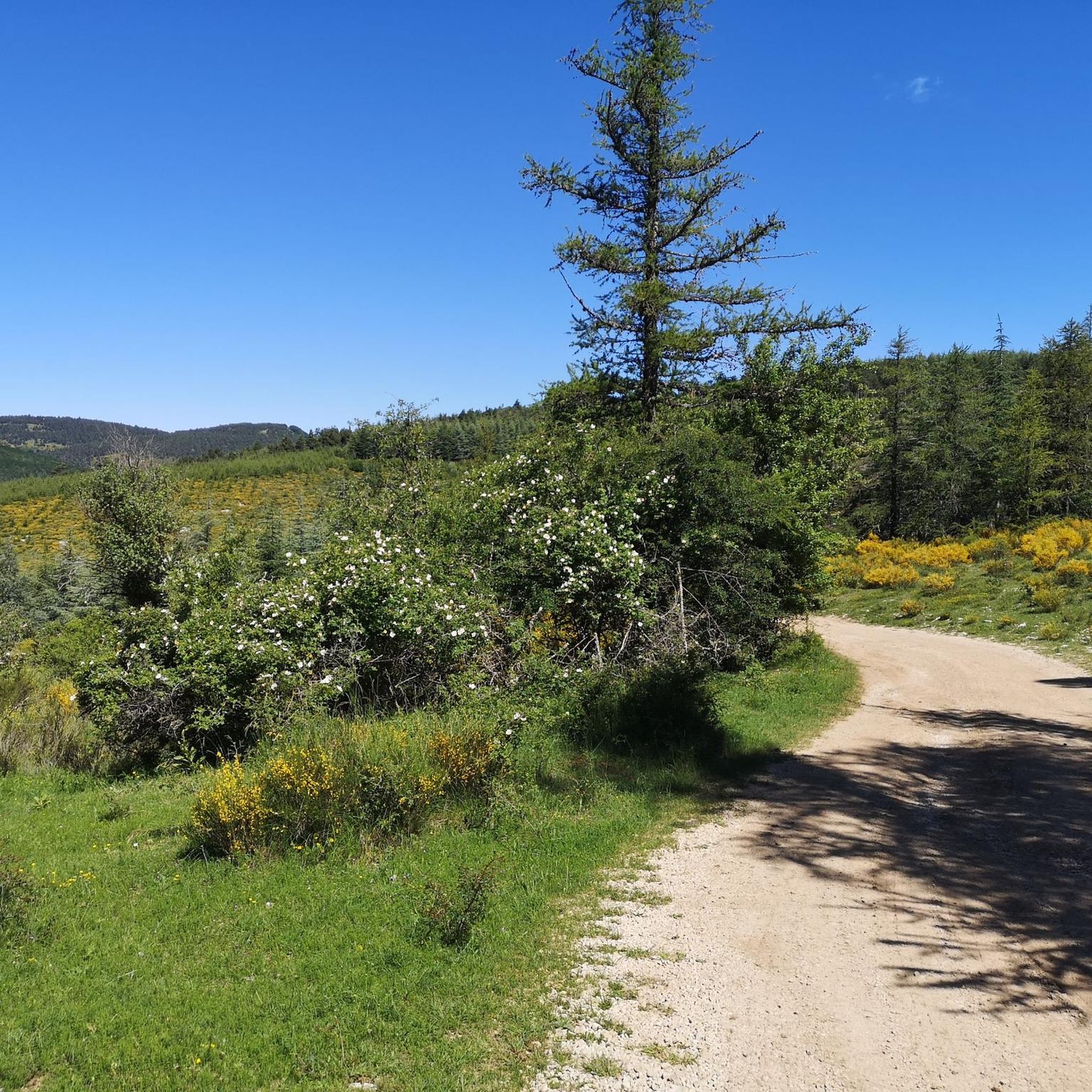
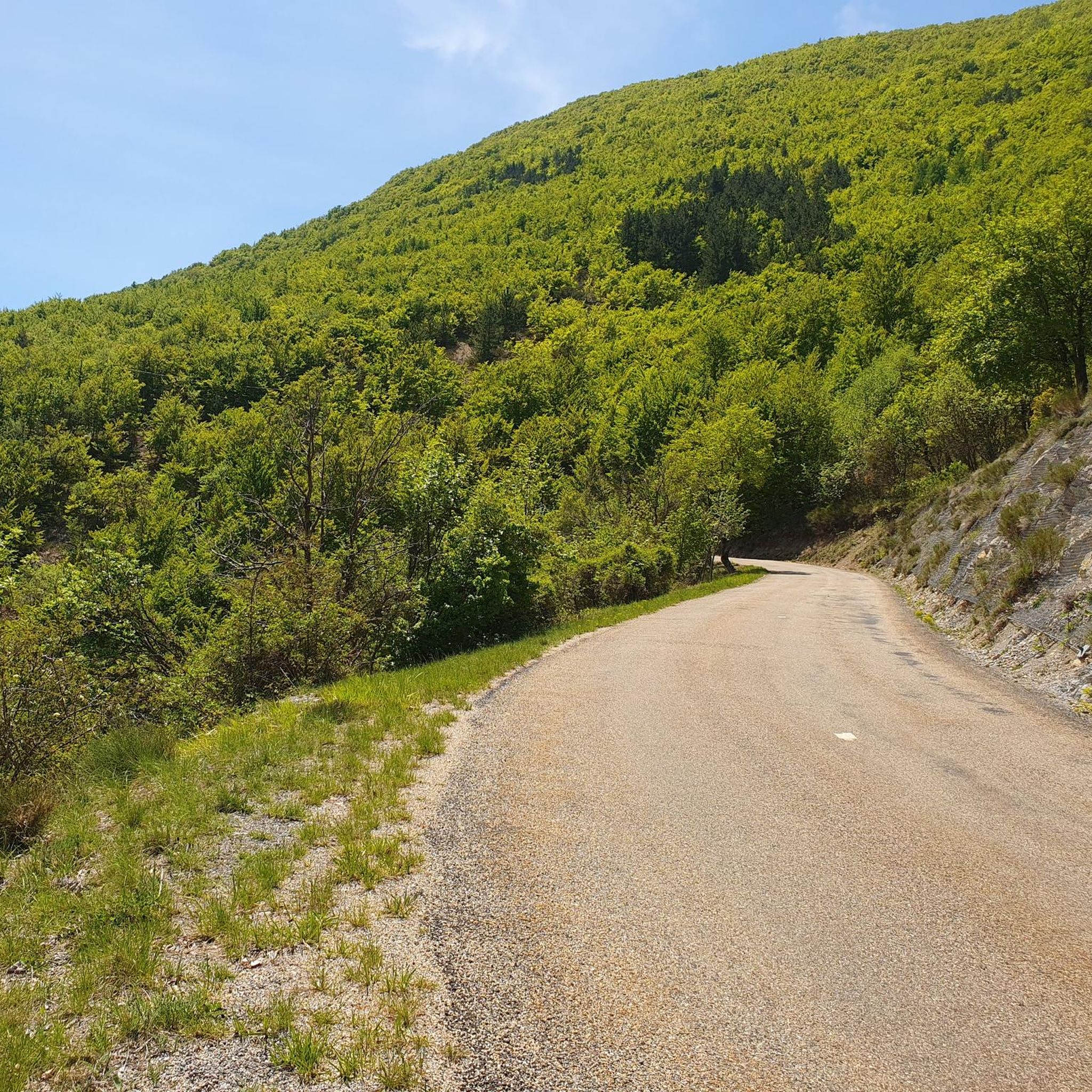
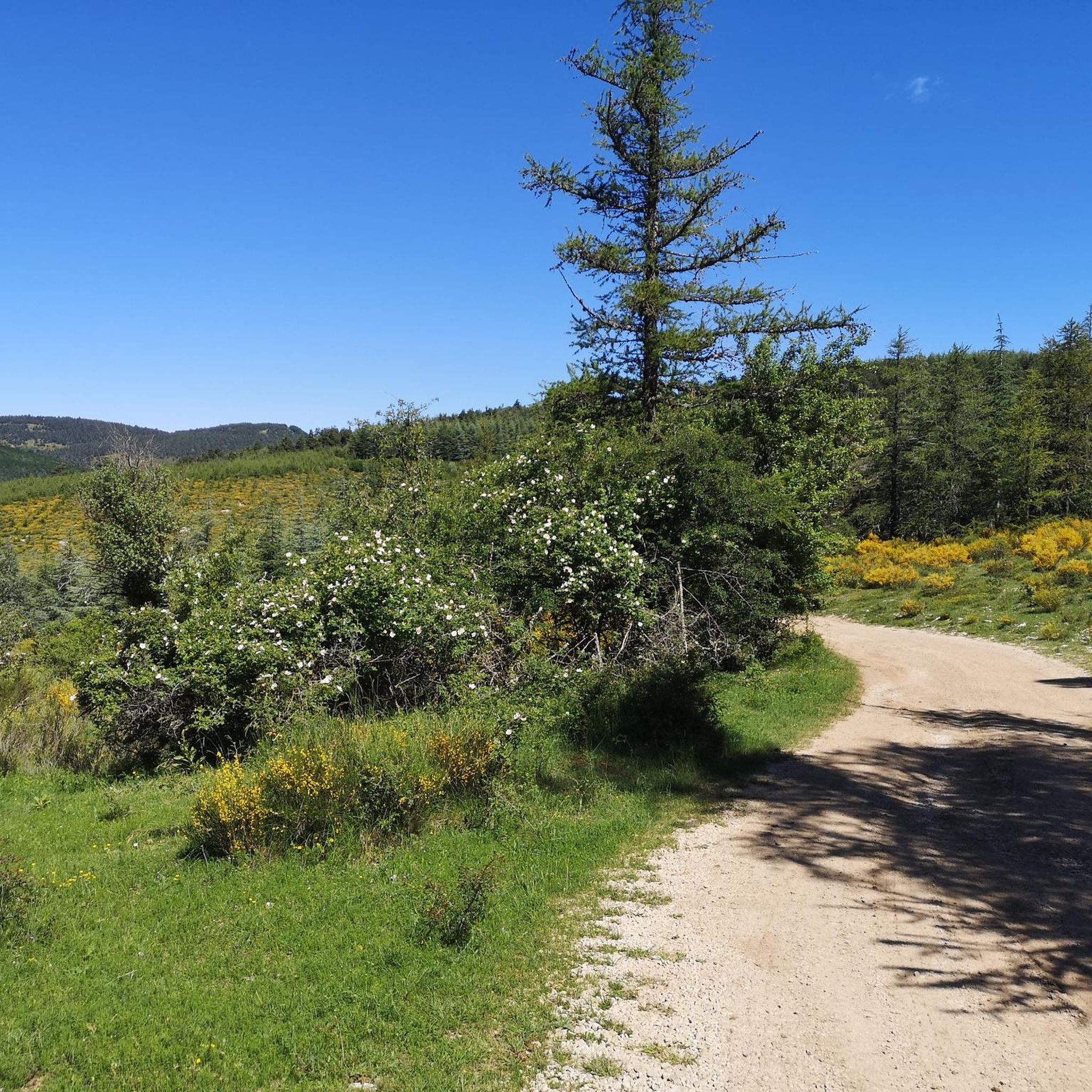
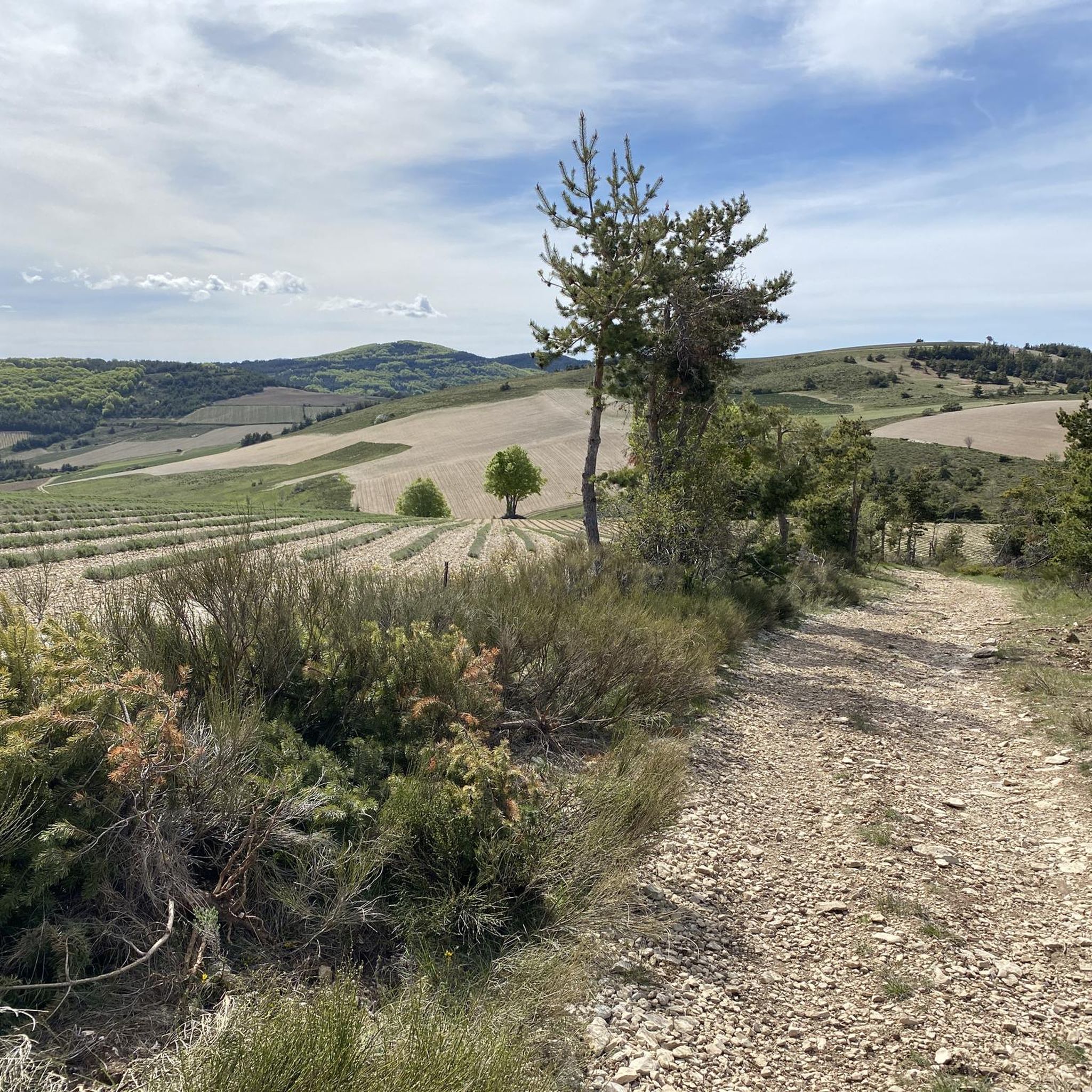

Tips from the Community

Pretty pass with a gentle slope, very pleasant to climb.
0
0

From Ferrassières this climb is 5km and 5.5% on average.
1
1

You can climb this climb from Montbrun, Sederon or Sault. This climb is not too steep. Quiet roads
1
0


Just another place in the Drôme. Beautiful church.
1
0
Gentle climb in the shadow of Mont Ventoux. You can climb from 3 sides. Accessible from Sault. The highest point is 1219 meters above sea level. Pretty boring scenery.
2
0

The Col de l'Homme Mort is a pass located at an altitude of 1,211 m in the Drôme. It links the upper Toulourenc valley to the Albion plateau by road. Its southern slope, 4.8 km long with a drop of 210 meters, has an average gradient of 4.38%, with passages at a maximum of 6%. The Tour de France took this pass in 1956, during the 16th stage between Aix-en-Provence and Gap.
0
0
Séderon attracts visitors with the charm of its vast wilderness and its lavender fields, as well as its interesting architectural heritage. As you stroll through the village, be sure to admire the frescoes and stained glass windows of the communal church created in the 1940s by André Seurre. Not far away, it is also possible to discover the ruins of the 10th century Notre-Dame-de-la-Brune chapel, a former stopover on the pilgrimage to Santiago de Compostela. Astronomy lovers can go to the CosmoDrôme located on the nearby Bergiès mountain.
2
0
Frequently Asked Questions
How many hiking trails are available around Les Omergues?
There are over 30 hiking routes in the Les Omergues area, catering to various skill levels. This includes 9 easy routes, 20 moderate routes, and 3 more challenging trails.
What kind of landscapes can I expect to see while hiking near Les Omergues?
The region around Les Omergues offers a diverse landscape, blending bucolic Provencal scenery with more rugged, mountainous terrain. You can expect views of the iconic Mont Ventoux and the serene Jabron river valley. The broader Alpes-de-Haute-Provence also provides access to dramatic features like the Gorges du Verdon, known for its cliffs and turquoise waters.
Are there any family-friendly hiking options in Les Omergues?
Yes, Les Omergues offers several easy trails suitable for families. A good option is the Séderon loop from Séderon, which is 4.8 km (3.0 miles) long and takes about 1 hour 28 minutes to complete, offering varied terrain that can be enjoyable for all ages.
What are some notable natural features or viewpoints to look out for on the trails?
Hikers can enjoy several natural features and viewpoints. Keep an eye out for stunning views of the lavender fields, especially during blooming season. The View of the Jabron valley and the Lure offers expansive vistas, and the View of Lavender Fields from Col de l'Homme Mort is another popular spot.
Are there any long-distance hiking trails accessible from Les Omergues?
While Les Omergues itself is a base for local trails, the wider Alpes-de-Haute-Provence region is traversed by several significant long-distance hiking routes. These include sections of the GR 4, GR 6, GR 97, and GR653 D, offering extensive exploration opportunities across diverse landscapes from the Provencal Alps to the Luberon massif.
What is the best time of year to go hiking in Les Omergues?
The region is enjoyable for hiking across multiple seasons. Spring and autumn offer pleasant temperatures and vibrant colors, ideal for exploring. Summer can be warm, but the presence of the Jabron river provides some cooling, and early morning or late afternoon hikes are recommended. Winter hiking is also possible, though conditions may vary.
Are there any circular walks available in the area?
Yes, many routes around Les Omergues are circular. For instance, the Revest-du-Bion – Étang de Revest-du-Bion loop from Revest-du-Bion is an easy 4.7 km (2.9 miles) circular path that takes about 1 hour 16 minutes to complete.
What do other hikers say about the trails in Les Omergues?
The hiking routes in Les Omergues are highly regarded by the komoot community, with an average rating of 4.6 stars from over 80 reviews. Hikers often praise the varied terrain, the stunning views of Mont Ventoux, and the tranquil atmosphere of the Jabron river valley.
Are dogs allowed on the hiking trails around Les Omergues?
Generally, dogs are welcome on most hiking trails in the region, especially if kept on a leash. It's always advisable to check local regulations for specific routes or protected areas, and ensure your dog is well-behaved and doesn't disturb wildlife or other hikers.
Where can I find parking for hiking trails in Les Omergues?
Parking is typically available near the starting points of many trails, particularly in and around the villages. For example, routes like the Col de l'Homme Mort loop often have designated parking areas at the pass itself, making access convenient.
What is a moderately challenging hike I can do in the area?
For a moderate challenge, consider the View of the Jabron valley loop from Redortiers. This route covers 11.5 km (7.1 miles) and typically takes around 3 hours 20 minutes, offering rewarding views with a manageable elevation gain.
Most popular attractions around Les Omergues

Get inspired with the komoot mobile app


Explore more
Browse the best Hikes in other regions.
