The best walks and hikes around Tauriac-De-Camarès
4.5
(116)
610
hikers
35
hikes
Hiking around Tauriac-De-Camarès offers diverse landscapes within the Aveyron department of the Occitanie region. The area features a varied topography, with elevations ranging from 467 meters to 905 meters. Over 80% of the commune is covered by forests and semi-natural environments, providing extensive natural settings for exploration. Key natural features include the distinctive red-hued Le Rougier de Camarès and the picturesque Dourdou Valley, which showcases aquatic elements and stone formations.
Best hiking trails around Tauriac-De-Camarès
- The most popular hiking route…
Last updated: July 8, 2026
2
hikers
20.7km
06:09
630m
630m
Hard hike. Very good fitness required. Easily-accessible paths. Suitable for all skill levels.
4.0
(5)
16
hikers
4.83km
01:22
110m
110m
Easy hike. Great for any fitness level. Easily-accessible paths. Suitable for all skill levels.

Sign up for free
3.5
(6)
24
hikers
7.86km
02:31
320m
320m
Moderate hike. Good fitness required. Easily-accessible paths. Suitable for all skill levels.
4.6
(7)
26
hikers
6.30km
01:50
160m
160m
Easy hike. Great for any fitness level. Easily-accessible paths. Suitable for all skill levels.
5.0
(5)
23
hikers
13.2km
04:08
520m
520m
Moderate hike. Good fitness required. Easily-accessible paths. Suitable for all skill levels.
Get access to more routes and recommendations from other explorers.
Sign up for free
Already have an account?
Our route recommendations are based on thousands of hikes, rides, and runs completed by other people on komoot.
Start today with a free account
Your next adventure awaits.
Login or Signup


Tips from the Community

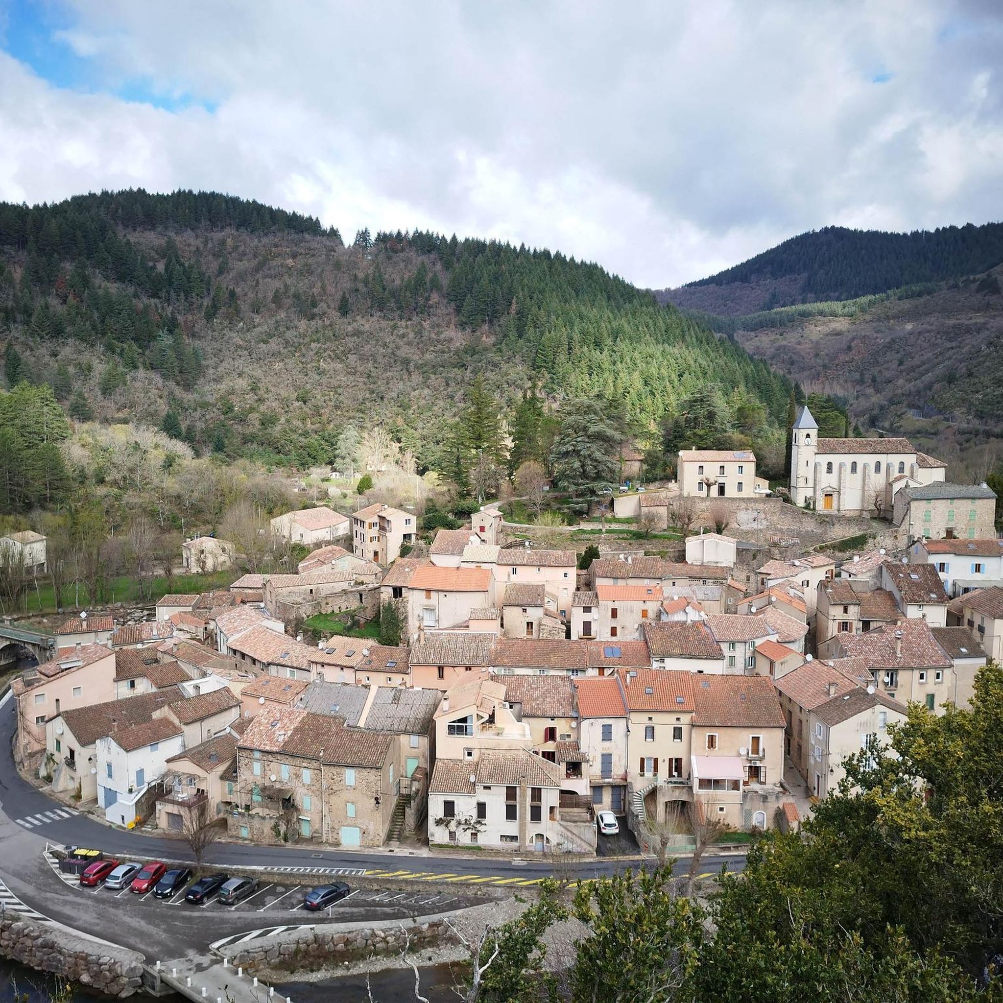
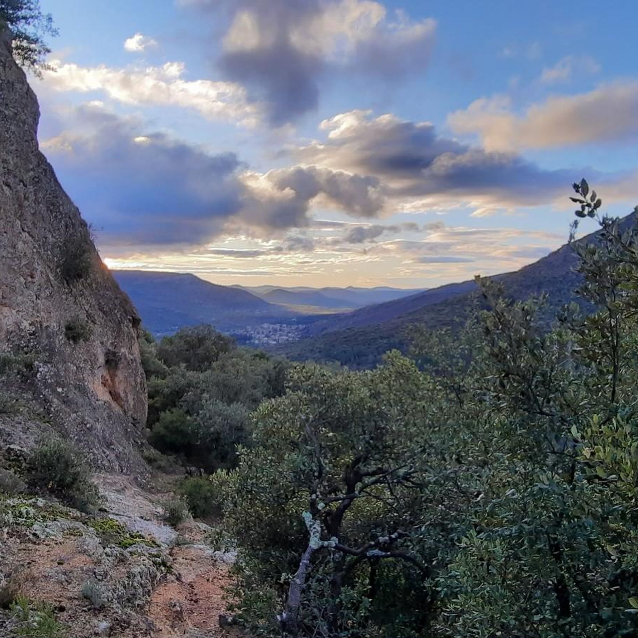
From the D8E13 bridge, the viewpoint offers a beautiful postcard of Avène and the Orb.
0
0

Consider booking a table at L'Avenette Gourmande restaurant, located in the small village of Avène. Enjoy a terrace overlooking the river, surrounded by nature. An exceptional setting and highly recommended traditional cuisine. I highly recommend it.
0
0

This tiny and peaceful village, with a worldwide reputation for the benefits of its water, is a perfect location for hikers and gravel enthusiasts. You have many options of loops from there. Enjoy!
0
0

The bucolic charm of the places and the banks of the Orb is striking. The economy of Avène has always been based on significant mining activity that began under Roman rule and continued until 1954, when the Rabasse mines closed. Created in 1962 for hydroelectric production and regulation of the Orb, the Lac des Monts d'Orb (or Lac d'Avène) is 6 kilometres long and covers an area of 190 hectares. An old lead and silver mine is now submerged under the lake: the mines and their exploitation were a source of wealth for the Orb valley, from Antiquity until the 1950s. Today, it is above all nature that provides Avène with one of its benefits: water from the depths of the Languedoc earth. This water that has been shaping a destiny for two and a half centuries, a vocation inspired by Thermalism. It is impossible not to go to the Thermal Baths, a stone's throw south of the village (the markings of the Sentier des 2 Lacs allow you to reach the site on foot, and the connection is pretty!). The Thermal Baths site is peaceful, relaxing... like the range of well-being and beauty products from the Avène brand. Beyond the thermal area, there is a magnificent hotel and an excellent restaurant! The establishment is committed to a truly eco-responsible approach: use of local products, innovative and energy-efficient architectural and technical choices...
1
0
Created in 1962 for hydroelectric production and regulation of the Orb river, the Lac des Monts d’Orb is 6 kilometres long and covers an area of 190 hectares. A former lead and silver mine is now submerged under the lake: the mines and their exploitation were a source of wealth for the Orb valley, from Antiquity until the 1950s. The lake is not intended for swimming, but you can have lovely accompanied outings on a stand-up paddle or kayak, and go fishing.
2
0

The Lac d'Avène reservoir is located at an altitude of 430 m and its surface area is 1.9 km².
2
0

Its creams and treatments with such recognizable packaging are a must in French pharmacies and for some of us, have the scent of vacation. If its thermal cures are world famous, the city itself is much less so. Made up of no less than 14 hamlets or farms, it has only 400 permanent residents. Enjoying a dual Mediterranean and oceanic climate, it is located in the exceptional Natural Regional Park of Haut-Languedoc, and more precisely in the landscape unit of the small causses of the upper Orb valley and Lake Avène . The Monts d'Orb occupy a significant space and offer preserved nature where the forest, by turns mountainous and Mediterranean, stands out. This landscape unit is also characterized by a mid-mountain type landscape, which presents a strong contrast with the atmosphere of the Hérault coastline. Clearly, this department is full of wonderful surprises! This unique location makes Avène the ideal starting point for numerous hikes, both on foot and by bike. Don’t hesitate to go boating or paddleboarding on the artificial lake of Avène, if the water level allows it.
3
0

Very beautiful point of view to admire the village of Avène in its natural setting.
1
0
Frequently Asked Questions
What are the different difficulty levels for hiking trails in Tauriac-De-Camarès?
Tauriac-De-Camarès offers a range of hiking trails suitable for various fitness levels. You'll find 11 easy routes, 19 moderate routes, and 5 difficult routes, ensuring options for everyone from casual walkers to experienced hikers.
Are there any family-friendly hiking routes in Tauriac-De-Camarès?
Yes, the region offers several easy circuits ideal for families. For instance, the Lac d'Avène loop from Barrage des Monts d'Orb is an easy 3.0-mile path that takes about 1 hour 22 minutes, perfect for a family outing.
What kind of natural features can I expect to see while hiking in Tauriac-De-Camarès?
The landscape is diverse, featuring the distinctive red-hued Le Rougier de Camarès, the picturesque Dourdou Valley with its aquatic elements and stone formations, and extensive forests covering over 80% of the area. Hikers can also ascend to summits like Maliver (901m) for expansive views.
Are there any circular loop hikes available?
Many routes in the area are designed as loops. For example, the View of Avène – Avène loop from Avène is an easy 3.9-mile circular trail that provides views of the Avène area.
What do other hikers enjoy most about hiking in Tauriac-De-Camarès?
The area is highly rated by the komoot community, with an average score of 4.5 stars from over 100 reviews. Hikers often praise the varied terrain, from the red landscapes of Le Rougier de Camarès to the Dourdou Valley, and the extensive network of trails suitable for different abilities.
What are some notable landmarks or attractions near the hiking trails?
You can explore several interesting sites. The Lac d'Avène is a scenic lake, and the Monts d'Orb Dam is another significant point of interest. The nearby Avène, spa town is also a well-known location.
What is the best time of year to hike in Tauriac-De-Camarès?
The region offers beautiful flora throughout the warmer months. Late April brings daffodil carpets, while late June showcases gentians, large daisies, and wild strawberries. These periods offer pleasant conditions and vibrant natural scenery for hiking.
Are there any longer, more challenging hikes for experienced trekkers?
Yes, for those seeking a challenge, routes like the Balcony of the Cévennes offer a difficult 12.9-mile trail with significant elevation gain, taking over 6 hours to complete and providing expansive views across varied terrain.
Can I find trails that offer views of the Dourdou Valley?
Absolutely. The Dourdou Valley is a prominent feature of the region, and many hiking routes traverse it, showcasing its aquatic elements and unique stone formations. These trails provide excellent opportunities to experience the valley's natural beauty.
Are there any historical or cultural sites to visit in the vicinity of Tauriac-De-Camarès?
Beyond the trails, the area is close to cultural sites such as Sylvanès Abbey and historical landmarks like Chateau de Latour and The Priory of Granges. The nearby Brusque village also features vestiges of a 9th-century castle.
What is the terrain like on the hiking trails in Tauriac-De-Camarès?
The terrain is quite varied, reflecting the region's diverse topography. You'll encounter everything from the distinctive red earth of Le Rougier de Camarès to paths through lush forests and along the Dourdou Valley, with elevations ranging from 467 meters to 905 meters.
Most popular routes around Tauriac-De-Camarès
Most popular attractions around Tauriac-De-Camarès

Get inspired with the komoot mobile app


Explore more
Browse the best Hikes in other regions.
