The best walks and hikes around Charentilly
4.4
(343)
2,309
hikers
170
hikes
Hiking around Charentilly offers a network of trails through a landscape characterized by gentle terrain and varied natural features. The region features low elevation gains, making many routes accessible for different fitness levels. Hikers can explore areas with cultivated gardens, wetlands, and rural paths.
Best hiking trails around Charentilly
- The most popular hiking route is Saint-Roch loop from Saint-Roch, a 5.7 miles (9.2 km) trail that takes 2 hours 21 minutes to complete. This moderate route features gentle ascents…
Last updated: July 6, 2026
4.4
(5)
42
hikers
9.18km
02:21
40m
40m
Moderate hike. Good fitness required. Easily-accessible paths. Suitable for all skill levels.
4.7
(13)
39
hikers
10.0km
02:37
60m
60m
Moderate hike. Good fitness required. Easily-accessible paths. Suitable for all skill levels.
5.0
(1)
7
hikers
Easy hike. Great for any fitness level. Easily-accessible paths. Suitable for all skill levels.
Get access to more routes and recommendations from other explorers.
Sign up for free
Already have an account?
Our route recommendations are based on thousands of hikes, rides, and runs completed by other people on komoot.
Start today with a free account
Your next adventure awaits.
Login or Signup


Tips from the Community

Well marked and very enjoyable hike with kids
1
0
Frequently Asked Questions
How many hiking trails are available in Charentilly?
Charentilly offers a wide selection of hiking routes, with over 170 trails available. This includes a mix of easy, moderate, and a few more challenging options to suit various preferences.
What is the general difficulty level of hikes in Charentilly?
The hiking trails in Charentilly are predominantly easy to moderate, with 80 easy routes and 89 moderate routes. There are also 3 more difficult trails for those seeking a greater challenge. The region's low elevation gains make many routes accessible for different fitness levels.
What do hikers enjoy most about the trails in Charentilly?
The hiking experience in Charentilly is highly rated by the komoot community, with an average score of 4.5 stars from over 290 reviews. Hikers often praise the gentle rural paths, cultivated gardens, and wetland areas that characterize the region's varied terrain.
Are there family-friendly hiking options in Charentilly?
Yes, Charentilly is well-suited for family hikes. Many of the 80 easy routes feature gentle terrain and low elevation gains, making them enjoyable for all ages. Trails exploring cultivated gardens and wetland areas offer pleasant and accessible experiences.
Can I bring my dog on hikes in Charentilly?
While specific regulations can vary, many rural paths and trails in France are generally dog-friendly, especially if dogs are kept on a leash. It's always advisable to check local signage or specific trail information for any restrictions before heading out with your pet.
Are there circular hiking routes available?
Yes, many of the hiking routes in Charentilly are circular, offering convenient starting and ending points. Examples include the Jardin de Charentilly loop from Charentilly and the Jardin de Charentilly – Michel Gauguin Wetland loop from Charentilly.
What are some easy hiking trails for beginners?
For beginners, the region offers 80 easy routes. A good option is the Jardin de Charentilly – Michel Gauguin Wetland loop from Charentilly, which is 2.8 miles (4.6 km) long and leads through pleasant wetland areas. Another accessible choice is the Château de Dolbeau – Château de la Barrière loop from Roche Biette.
What is the best season for hiking in Charentilly?
The gentle terrain, cultivated gardens, and wetland areas of Charentilly are particularly enjoyable in spring, summer, and early autumn. These seasons offer pleasant weather for exploring the natural beauty and varied landscapes. Spring brings blooming flowers, while autumn showcases vibrant foliage.
Are there any scenic viewpoints or natural attractions along the trails?
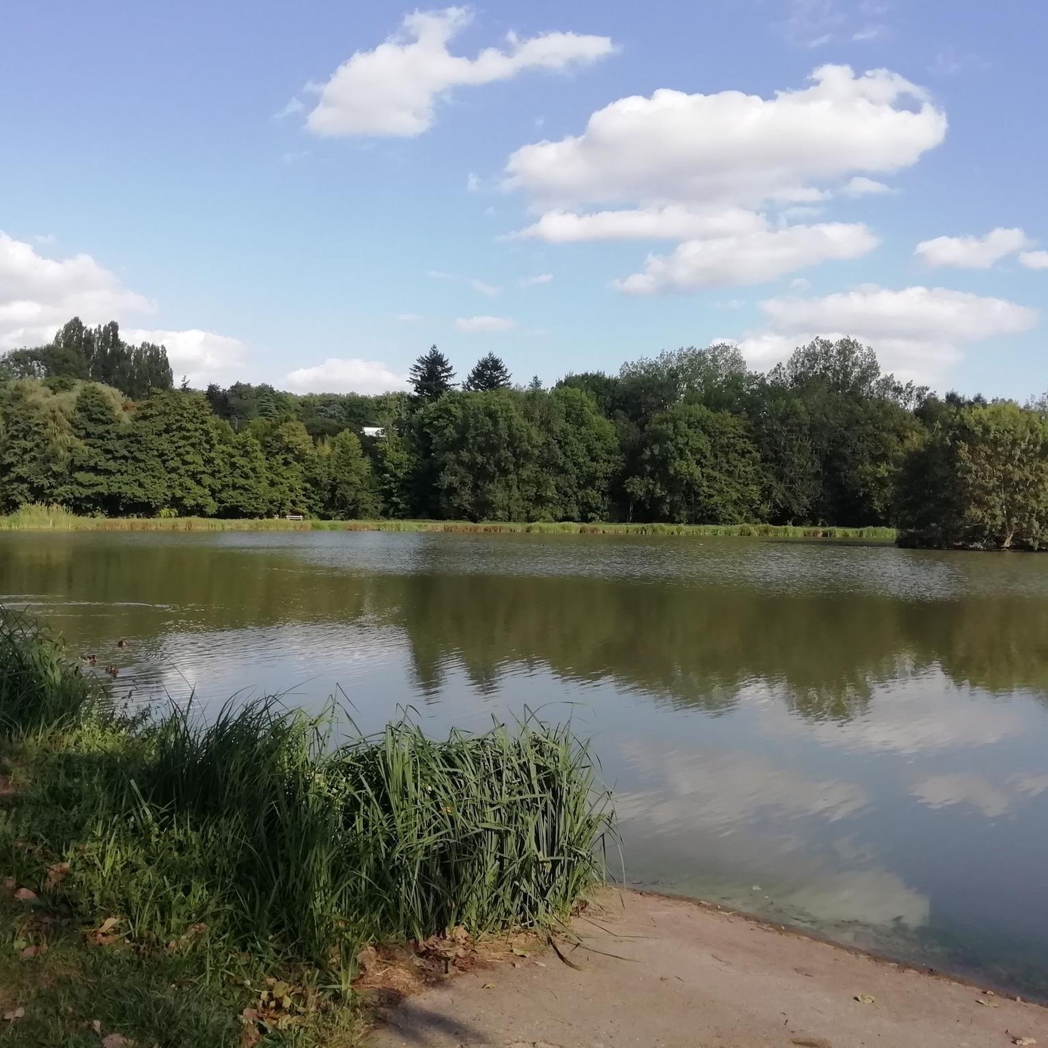
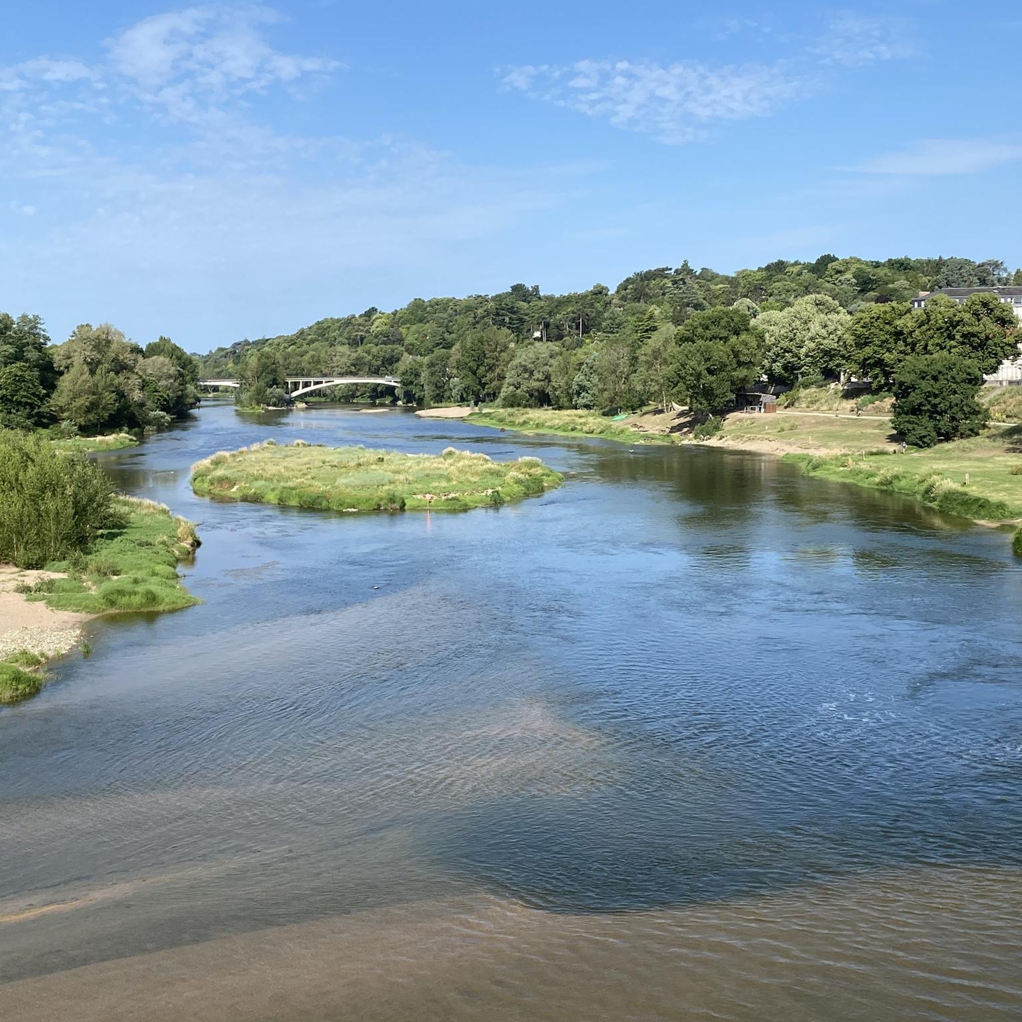
The trails themselves offer scenic views of the local countryside, cultivated gardens, and wetland areas. While specific viewpoints are not highlighted, the region's natural features provide a picturesque backdrop for your hike. You can also explore attractions like the Picnic area at Port du Pavé du Roy on the Cher River nearby.
What cultural or historical sites can I visit near the hiking trails?
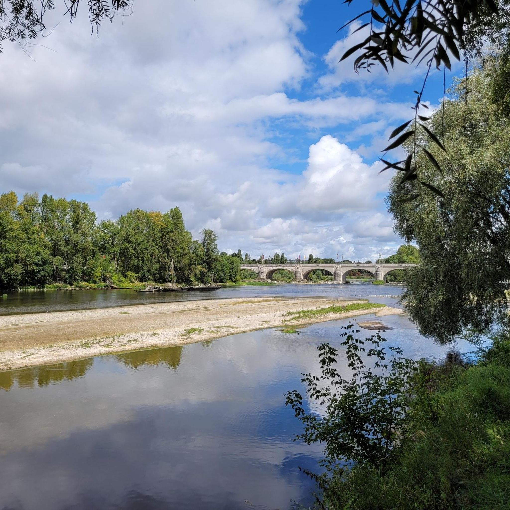
While hiking, you're close to several notable sites. In Tours, you can visit the impressive Saint-Gatien Cathedral or the historic Basilica of Saint Martin. The Wilson Bridge is also a significant landmark in the area.
Where can I find parking for hikes around Charentilly?
Parking availability varies by trailhead. For routes starting directly from Charentilly, such as the Jardin de Charentilly loop, you can often find local parking in or near the village. For other routes, check the specific tour details on komoot for recommended starting points and parking information.
Are there options for public transport to reach hiking trails in Charentilly?
Public transport options to reach specific trailheads in Charentilly may be limited, as it is a rural area. It's recommended to check local bus schedules or regional transport services for connections from larger towns like Tours. Many hikers prefer to arrive by car to access the various starting points.
Most popular routes around Charentilly
Most popular attractions around Charentilly

Get inspired with the komoot mobile app


Explore more
Browse the best Hikes in other regions.
