The best running trails around Sénéchas
4.8
(18)
616
runners
53
runs
Jogging around Sénéchas offers a diverse landscape for runners, situated on a schist plateau at nearly 460 meters altitude. The region is characterized by the confluence of the Cèze and Homol valleys, providing scenic routes along river courses. Within the peripheral zone of the Cévennes National Park, the area features varied terrain from gentle paths to challenging inclines, including expansive forests of conifers and beeches. This natural environment ensures a rewarding experience for all fitness levels.
Best jogging routes around…
Last updated: July 8, 2026
23
runners
31.5km
04:37
1,300m
1,300m
Hard run. Very good fitness required. Sure-footedness, sturdy shoes and alpine experience required.
25
runners
11.0km
01:21
250m
250m
Moderate run. Good fitness required. Mostly paved surfaces. Suitable for all skill levels.

Sign up for free
23
runners
18.5km
03:03
1,000m
1,000m
Hard run. Very good fitness required. Sure-footedness, sturdy shoes and alpine experience required.
5.0
(3)
11
runners
4.63km
00:29
40m
40m
Easy run. Great for any fitness level. Mostly paved surfaces. Suitable for all skill levels.
5.0
(1)
11
runners
10.5km
01:31
460m
460m
Hard run. Very good fitness required. Sure-footedness, sturdy shoes and alpine experience required.
Get access to more routes and recommendations from other explorers.
Sign up for free
Already have an account?
Our route recommendations are based on thousands of hikes, rides, and runs completed by other people on komoot.
Start today with a free account
Your next adventure awaits.
Login or Signup
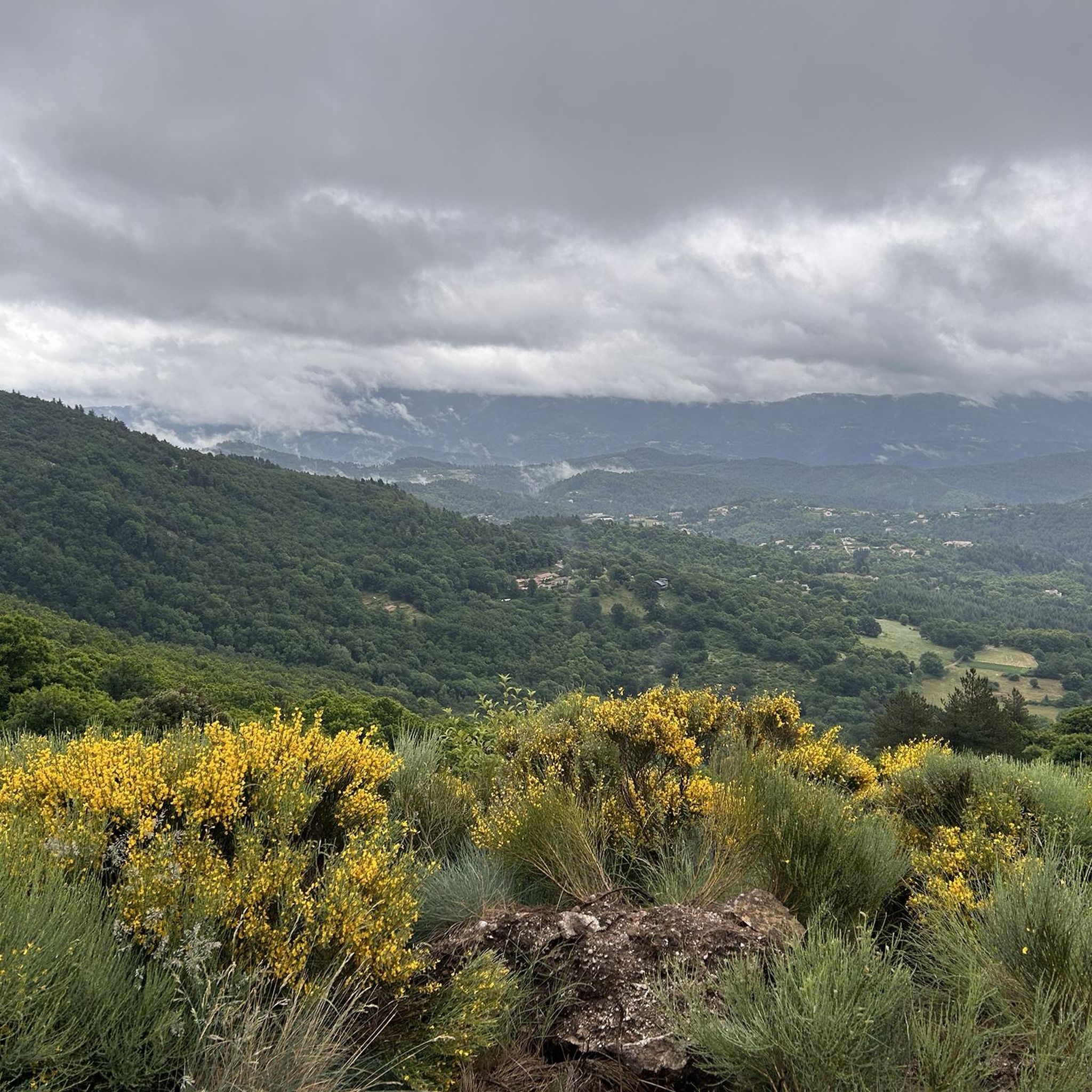
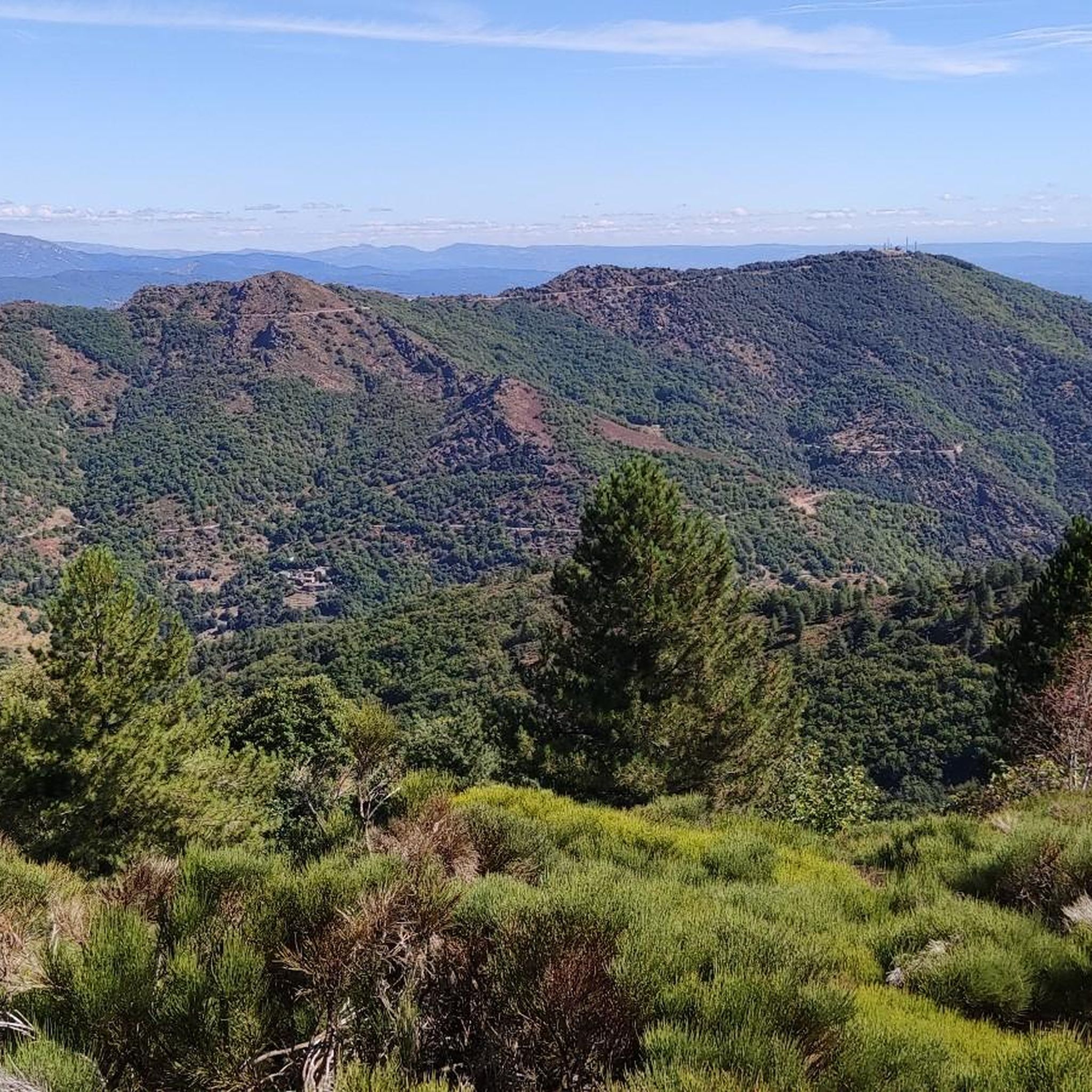
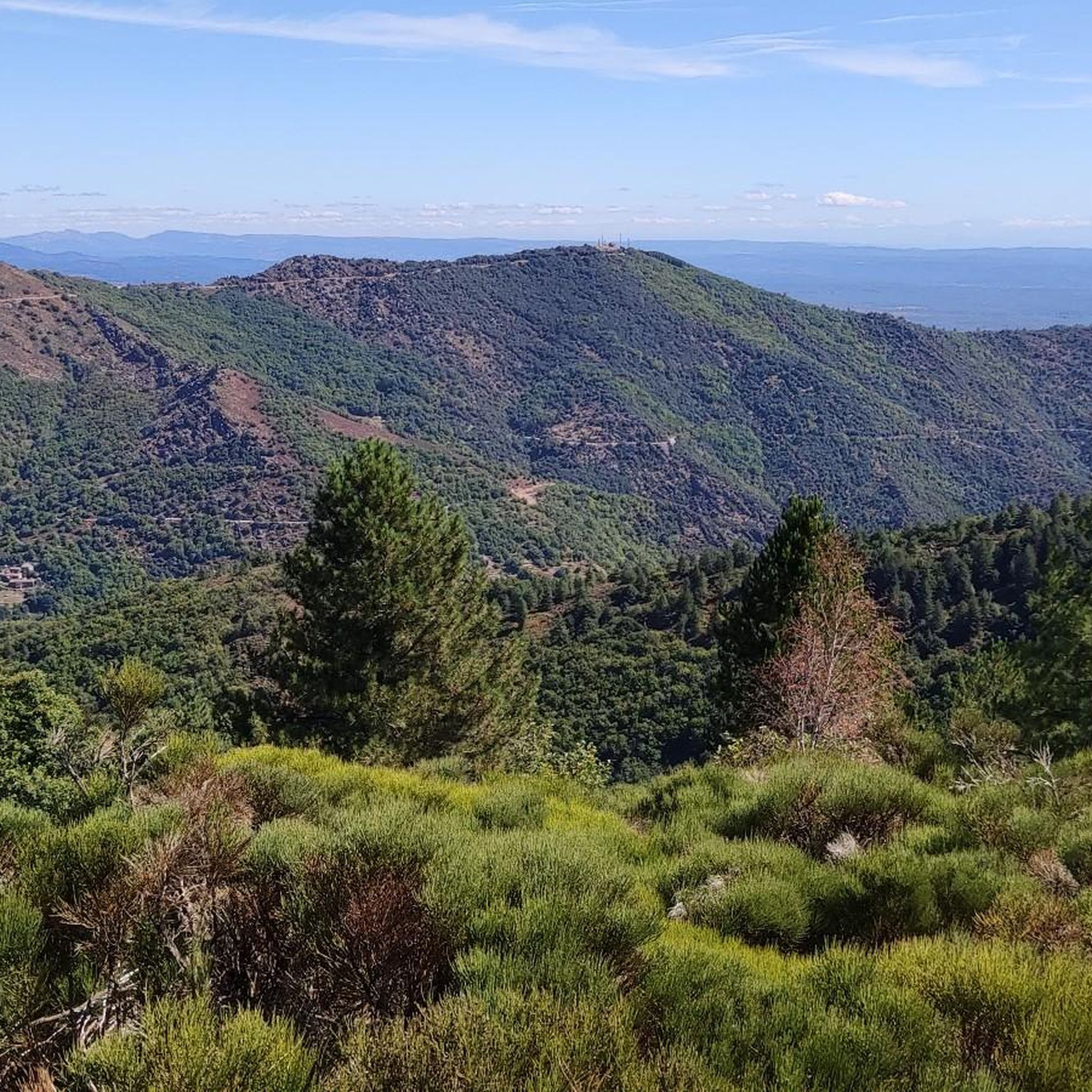
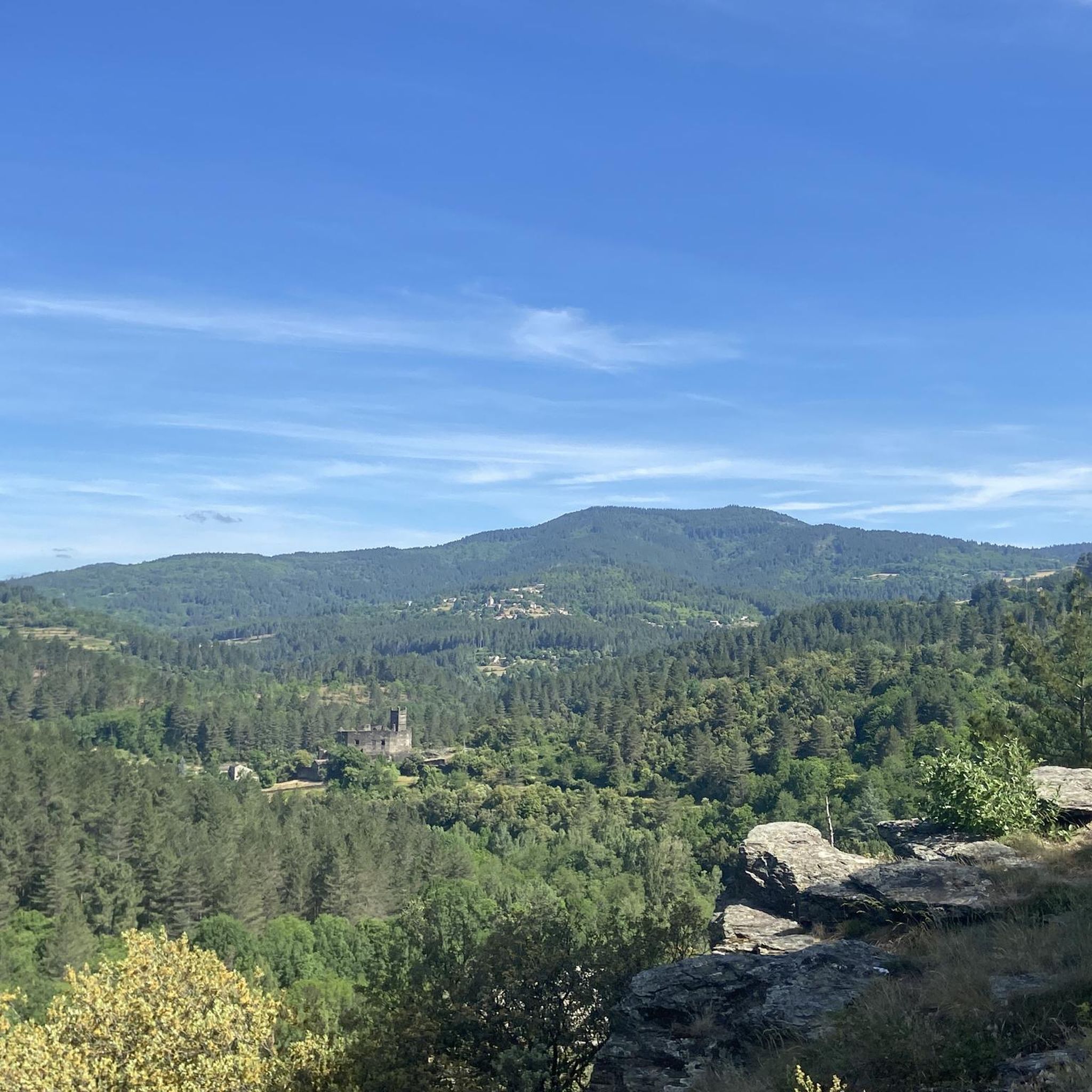

Tips from the Community

The Chamborigaud bridge, also known as the Chestnut tree bridge, spans the Luech and offers a beautiful view of the watercourse. This bridge, one of whose arches collapsed in 2024, was rebuilt following its collapse and inaugurated in April 2025.
0
0

Great starting point for hikes: Pic Cassini, Pont du Tarn… The cottages are very pleasant.
0
0

View over the Luech to the noteworthy railway viaduct.
0
0
It would be very rocky and shallow. Not deep enough for swimming.
0
0
new bridge, the nearby campsite actually only gets a negative review.
1
0

Located at an altitude of 1,203 meters, Montadou offers beautiful views of the Massif Central. You benefit from a 360º panorama of the surrounding peaks.
0
0

Very beautiful town, with typical streets and historic buildings
1
0

Several hikes to do in this area, there is the inn to eat and the chalet de l'aigle (unguarded reguge) where you can spend a nice night.
0
0
Frequently Asked Questions
How many running routes are available in Sénéchas?
Sénéchas offers a wide variety of running routes, with over 50 trails documented on komoot. These routes cater to all fitness levels, from easy jogs to challenging long-distance runs.
What kind of terrain can I expect on the jogging trails around Sénéchas?
The running trails in Sénéchas feature diverse terrain, ranging from gentle paths along the Cèze and Homol river valleys to rugged inclines within the Cévennes mountains. You'll also find shaded routes through extensive forests of conifers and beeches, providing a varied and scenic experience.
Are there easy running routes suitable for beginners or families in Sénéchas?
Yes, Sénéchas has options for easier runs. For instance, the Running loop from Chamborigaud is an easy 2.8-mile (4.6 km) trail with minimal elevation gain, perfect for a quick and accessible jog. The region also offers other moderate routes that are suitable for various skill levels.
Are there challenging running trails for experienced runners in Sénéchas?
Absolutely. For those seeking a significant challenge, Sénéchas offers several difficult routes. The Rochers de Trenze loop from Génolhac is a demanding 19.6-mile (31.5 km) trail with substantial elevation gain, taking over 4 hours to complete. Another challenging option is the Le Montadou – Cascade loop from Génolhac, which covers over 18.5 km with significant climbing.
What natural attractions can I see while running in Sénéchas?
As you jog through Sénéchas, you can enjoy stunning natural features. The area overlooks the picturesque Cèze and Homol valleys, with a flood control dam creating a scenic body of water. You might also encounter highlights like the Moulin de Roure Stone Bridge and River, or panoramic views from Le Montadou. The region is also close to the famous Grotte de la Cocalière.
Are there any circular running routes in the Sénéchas area?
Many of the running routes around Sénéchas are designed as loops, offering convenient circular paths. A popular choice is the Bathing place loop from Peyremale, a moderate 6.8-mile (11.0 km) route that follows river valleys, providing picturesque views and a refreshing experience.
What do other runners enjoy most about jogging in Sénéchas?
The running routes in Sénéchas are highly rated by the komoot community, with an average score of 4.9 stars from over 10 reviews. Runners often praise the diverse landscapes, from river valleys to rugged Cévennes terrain, and the opportunity to explore expansive forests. The variety of routes catering to different abilities is also frequently highlighted.
Can I bring my dog on the running trails in Sénéchas?
While many outdoor areas in France are dog-friendly, it's always best to check specific regulations for individual trails, especially since Sénéchas is in the peripheral zone of the Cévennes National Park. Generally, dogs should be kept on a leash to protect wildlife and ensure the safety of other trail users. Please respect local signage and guidelines.
What is the best time of year to go running in Sénéchas?
Sénéchas benefits from a Mediterranean climate tempered by its altitude, making spring and autumn particularly pleasant for running. During these seasons, temperatures are milder, and the natural scenery is vibrant. Summer can be warm, so early morning or late afternoon runs are advisable, while winter offers a different, often quieter, experience, though some higher trails might be affected by weather.
Are there any historical or cultural points of interest along the running routes?
Yes, as you explore the trails around Sénéchas, you might encounter remnants of the past, such as ancient bridges and mills. The region's rich history is also reflected in sites like rupestrian engravings and a menhir. For more information on the cultural heritage of Sénéchas, you can visit the Gard Tourism website.
Are there any running routes that offer great viewpoints in Sénéchas?
Given its location on a schist plateau and within the Cévennes, many routes in Sénéchas offer excellent viewpoints. The rugged terrain provides opportunities for panoramic vistas over the Cèze and Homol valleys, as well as expansive views of the surrounding forests and mountains. Look for routes that climb to higher elevations for the most rewarding outlooks, such as those near View of the Cévennes Mountains.
Most popular attractions around Sénéchas

Get inspired with the komoot mobile app


Explore more
Browse the best Running Trails & Routes in other regions.
