The best road cycling routes around Dorlisheim
4.5
(646)
13,855
riders
314
rides
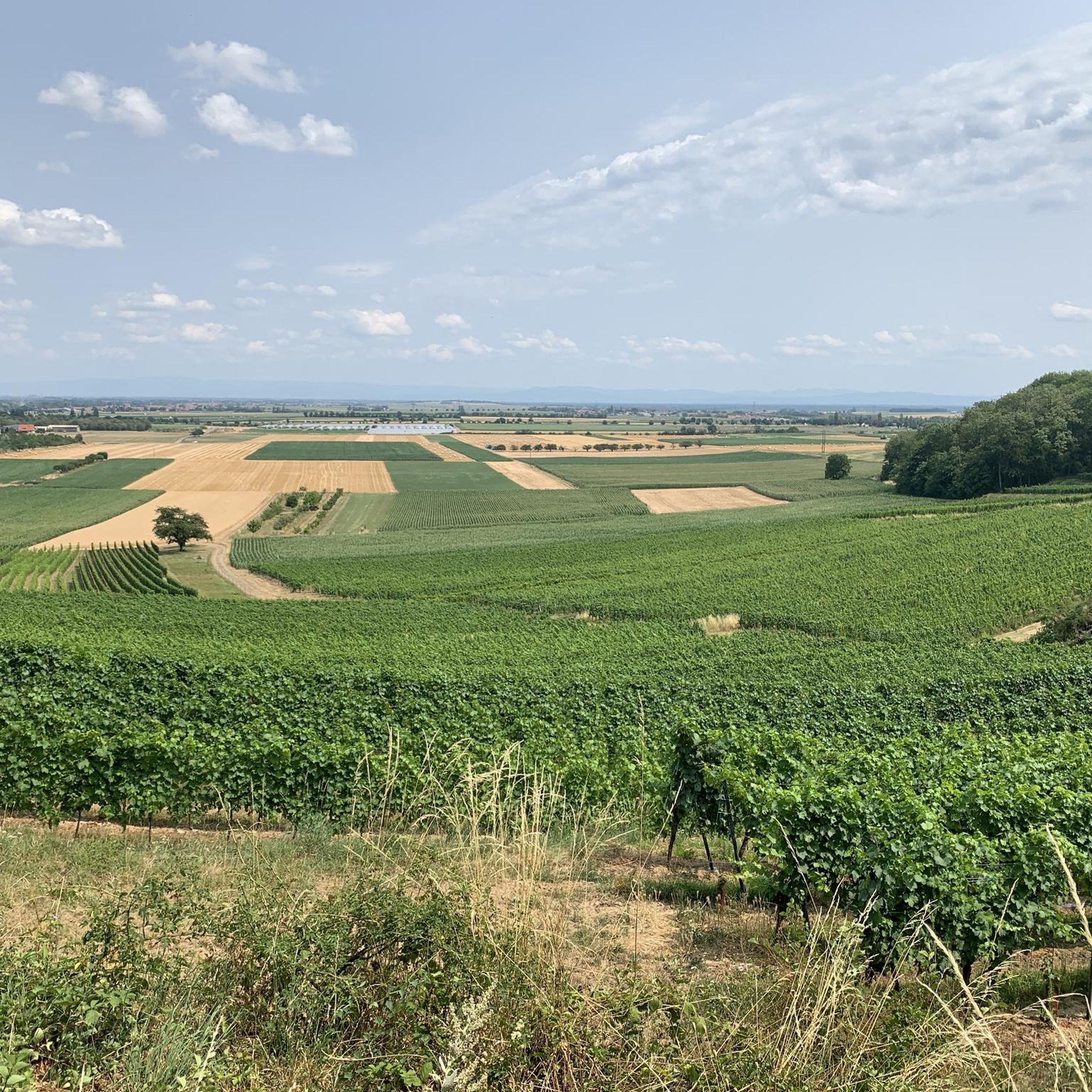
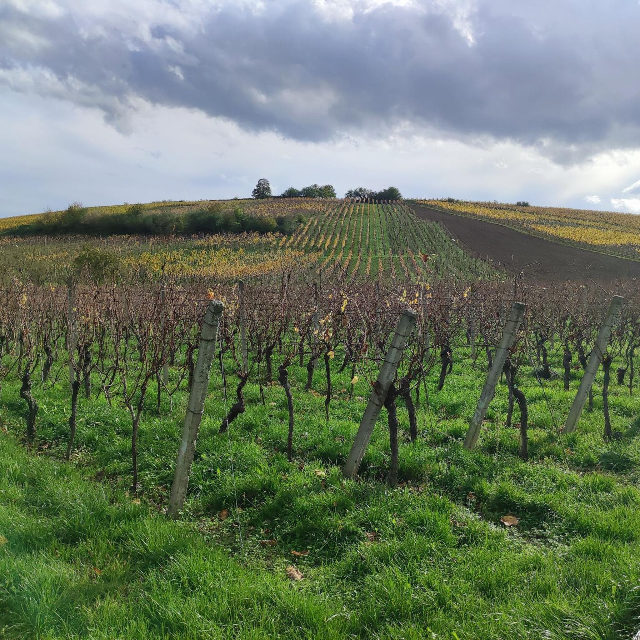
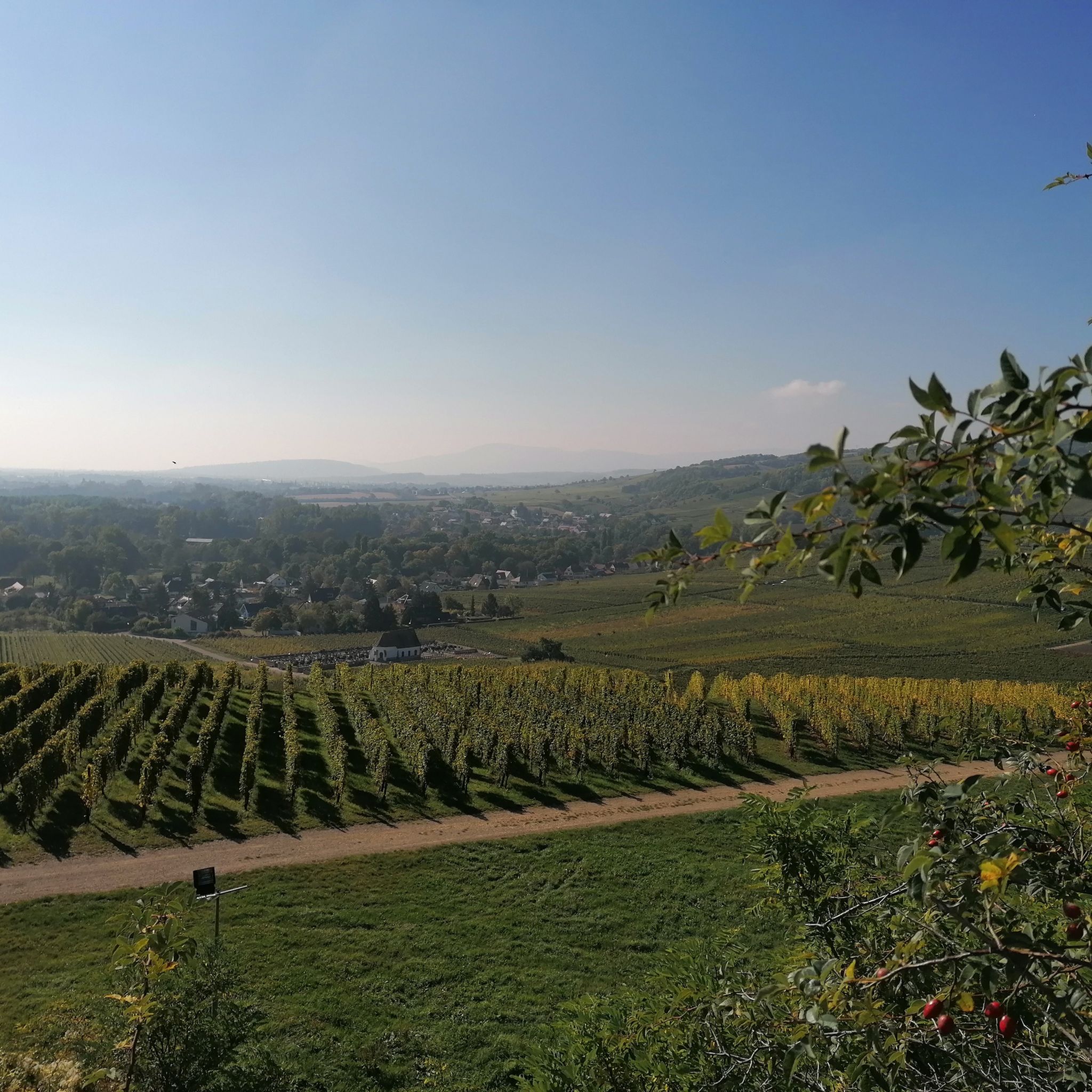
Road cycling routes around Dorlisheim offer varied terrain, from the flat plains alongside the Bruche Canal to significant ascents through passes and vineyards. The region is characterized by a mix of river valleys, rolling hills, and the foothills of the Vosges mountains, providing diverse cycling experiences. Road cyclists can find routes that traverse agricultural lands and lead to higher elevations with panoramic views. This area provides a range of road cycling opportunities for different skill levels.
Best road cycling routes…
Last updated: September 27, 2026
4.8
(30)
759
riders
38.9km
01:30
70m
70m
Easy road ride. Great for any fitness level. Mostly well-paved surfaces and easy to ride.
4.6
(10)
245
riders
122km
06:02
1,820m
1,820m
Hard road ride. Very good fitness required. Mostly well-paved surfaces and easy to ride.

4.7
(20)
237
riders
60.4km
02:51
740m
740m
Moderate road ride. Good fitness required. Mostly well-paved surfaces and easy to ride.
4.3
(28)
132
riders
77.3km
03:39
810m
810m
Moderate road ride. Good fitness required. Mostly well-paved surfaces and easy to ride.
4.9
(7)
106
riders
75.0km
03:57
1,390m
1,390m
Hard road ride. Very good fitness required. Mostly well-paved surfaces and easy to ride.
Get access to more routes and recommendations from other explorers.
Already have an account?
Our route recommendations are based on thousands of hikes, rides, and runs completed by other people on komoot.
Start today with a free account
Your next adventure awaits.
Tips from the Community

Parallel to the railway line, car-free.
0
0
When coming from Schirmeck, it is recommended to turn off in Grandfontaine and take the local road that runs parallel to the D392, which is less busy.
0
0

Wrong location and duplicate - here is the correct place: https://www.komoot.com/de-DE/highlight/1057103?ref=ihd&t_s=referral&t_cid=highlight_share&t_ref_username=1065335028189
0
0

Great landscape and beautiful cycle path.
0
0

Very good place to stop for refreshments!
0
0

Beautiful chapel at the top of the pass!
0
0

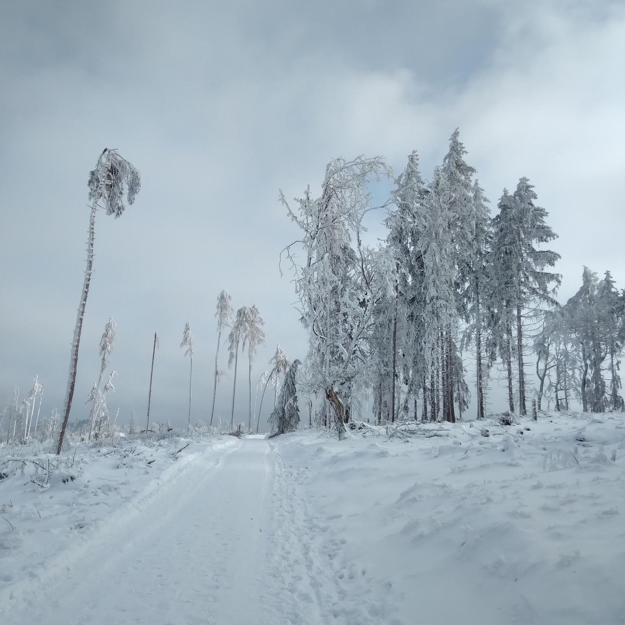
The Champ du Feu, at 1099 meters, is the highest mountain in the Bas-Rhin department in the Vosges in Alsace. It is located between the towns of Belmont and Le Hohwald and consists of a vast plateau with forests, meadows, and moorlands. The area is a popular nature and recreational area. In summer, it is mainly used for hiking, mountain biking, and nature observation. In winter, there is a small ski area with cross-country trails and simple slopes for winter sports. From the Champ du Feu, the La Serva stream originates, which later forms the Cascade de la Serva. In clear weather, the summit offers wide views over the Vosges, the Rhine plain, and even the Black Forest. The area is particularly known for its quiet nature, high moors, sunrises and starry skies, as well as well-marked hiking trails.
0
0

Frequently Asked Questions
How many road cycling routes are available around Dorlisheim?
There are over 320 road cycling routes around Dorlisheim, offering a wide variety of experiences. These include 94 easy routes, 163 moderate routes, and 70 difficult routes, catering to all skill levels.
Are there easy road cycling routes suitable for beginners in Dorlisheim?
Yes, Dorlisheim offers numerous easy road cycling routes perfect for beginners. Many of these follow the flat plains alongside the Bruche Canal. A great example is the Canal de la Bruche – Bruche Canal loop from Molsheim, which is 31.4 miles (50.6 km) with minimal elevation gain.
What kind of terrain can I expect on road cycling routes near Dorlisheim?
The region around Dorlisheim offers diverse terrain, from flat paths along river valleys like the Bruche Canal to rolling hills and significant ascents into the foothills of the Vosges mountains. You'll find routes traversing agricultural lands, vineyards, and mountain passes, providing varied challenges and scenic views.
Are there challenging routes for advanced road cyclists?
Absolutely. For advanced road cyclists, Dorlisheim provides challenging routes with substantial climbing through mountain passes. The Pandours Pass – Col des Pandours loop from Mutzig is a difficult 75.5 miles (121.5 km) path with significant elevation gain, popular among experienced riders.
What are some scenic viewpoints or highlights along the road cycling routes?
Many routes offer panoramic views, especially as you climb into the hills and vineyards. You can also explore cultural and natural highlights such as Mount Sainte-Odile, the charming town of Obernai, or the Canal de la Bruche cycle path itself.
Are there any cafes or refreshment stops along the road cycling trails?
Yes, you can find places to refuel. For instance, the Lock House No. 3 – Cyclists' Refreshment Stop is a known spot along the Bruche Canal where cyclists can take a break.
What is the best time of year for road cycling in Dorlisheim?
Spring, summer, and early autumn are generally the best times for road cycling in Dorlisheim, offering pleasant temperatures and vibrant landscapes. During these seasons, the vineyards are lush, and the mountain passes are typically clear of snow, providing optimal conditions for all types of routes.
Can I find circular road cycling routes in Dorlisheim?
Yes, many of the road cycling routes around Dorlisheim are designed as loops, allowing you to start and end in the same location. Examples include the Climb to Grendelbruch – Rosheim to Saint-Nabor loop from Rosheim and the Alsace Wine Route Vineyards – Col de Steige loop from Rosheim.
What do other road cyclists say about the routes in Dorlisheim?
The road cycling routes in Dorlisheim are highly rated by the komoot community, with an average score of 4.5 stars from over 500 reviews. More than 13,000 road cyclists have explored the area, often praising the varied terrain, from flat canal paths to challenging mountain climbs, and the beautiful scenery.
Are there any natural monuments to see while road cycling?
Yes, the region features several interesting natural monuments. You might encounter sites like Saint Odile's Spring or the unique rock formations at Rocher des Géants, offering points of interest during your ride.
Are there any routes that explore the Alsace Wine Route near Dorlisheim?
Yes, Dorlisheim is close to the famous Alsace Wine Route. You can find routes that take you through picturesque vineyards, such as the Alsace Wine Route Vineyards – Col de Steige loop from Rosheim, offering a blend of cycling and cultural exploration.
Most popular routes around Dorlisheim
Most popular attractions around Dorlisheim

Get inspired with the komoot mobile app


Explore more
Browse the best Road cycling routes in other regions.
