The best walks and hikes around Maillé
4.5
(189)
1,064
hikers
66
hikes
Hiking around Maillé offers access to the unique landscapes of the Marais Poitevin Regional Natural Park, characterized by extensive wetlands and an intricate network of waterways. The area features both the Marais Mouillé, known for its lush canals and rich biodiversity, and the Marais Desséché, with open plains and cultivated fields. The Sèvre Niortaise river also shapes the terrain, providing trails along its banks and connecting to smaller canals. This diverse environment provides varied hiking experiences across flat terrain.
Best…
Last updated: July 2, 2026
4.2
(12)
69
hikers
13.2km
03:19
20m
20m
Moderate hike. Good fitness required. Easily-accessible paths. Suitable for all skill levels.
4.2
(12)
68
hikers
13.6km
03:27
30m
30m
Moderate hike. Good fitness required. Easily-accessible paths. Suitable for all skill levels.

Sign up for free
4.2
(5)
19
hikers
Moderate hike. Good fitness required. Easily-accessible paths. Suitable for all skill levels.
4.3
(3)
18
hikers
15.2km
03:51
30m
30m
Moderate hike. Good fitness required. Easily-accessible paths. Suitable for all skill levels.
5.0
(2)
14
hikers
Easy hike. Great for any fitness level. Easily-accessible paths. Suitable for all skill levels.
Get access to more routes and recommendations from other explorers.
Sign up for free
Already have an account?
Our route recommendations are based on thousands of hikes, rides, and runs completed by other people on komoot.
Start today with a free account
Your next adventure awaits.
Login or Signup



Tips from the Community

Beautiful gravel hike all around
2
0
ideal for gravel rides
1
0

very pretty setting to rest after the effort with the small stream
0
0

Starting point for flat-bottomed boat tours. It's somewhat reminiscent of Taubergießen.
1
0

The Jean Guilloux chain ferry allows you to cross the Sèvre Niortaise River from Saint Jean de Liversay (Charente-Maritime) to Vix (Vendée). It is free to access and is operated manually. The chain ferry can be used independently by pedestrians and cycle tourists, with a maximum of 6 people per crossing. Cyclists' bicycles may be taken on board the ferry. Operating and safety regulations are posted on each bank. This type of boat was once a common means of crossing canals and channels in the Marais Poitevin. Free access is limited to 6 people or a maximum weight of 450 kg. Pets are allowed. Accessibility dates are from April 5 to October 31, from 9 a.m. to 9 p.m. The acquisition of the "Jean Guilloux" chain ferry was made possible thanks in part to the support of the European Union.
0
0

Boat in perfect condition! Superb experience and a good laugh..
0
0

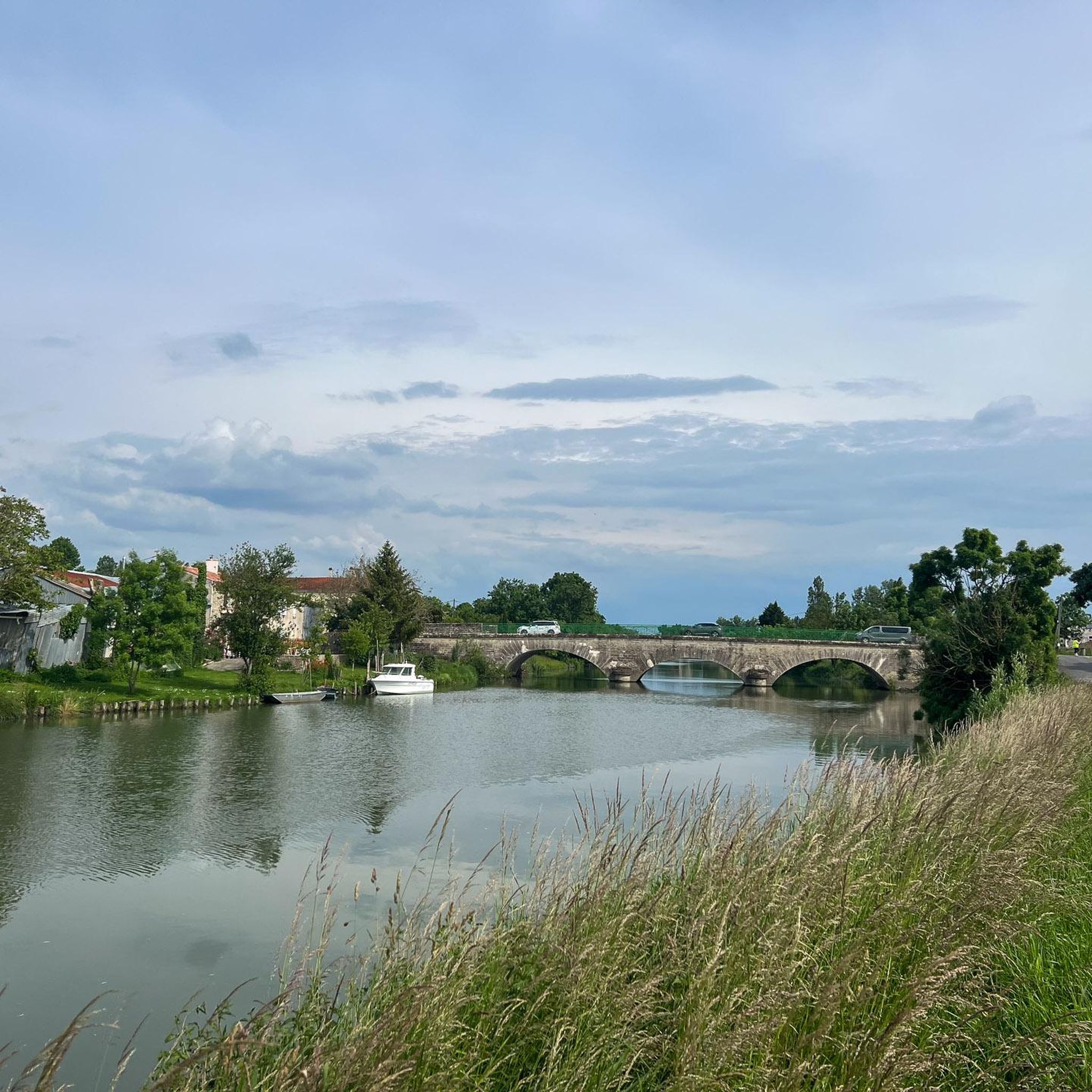
The view of the Marais Poitevin from one of its many paths offers a bucolic spectacle. Nicknamed the "Green Venice", this vast network of canals winding through lush vegetation is a true haven of peace. From the banks, the landscape is revealed with its calm waters reflecting the trees, its green meadows and wildlife. The paths along the canals are perfect for a quiet stroll.
0
0
Frequently Asked Questions
How many hiking trails are available around Maillé?
There are over 60 hiking routes around Maillé, offering a diverse range of experiences within the Marais Poitevin Regional Natural Park. These include 30 easy trails, 29 moderate routes, and a few more challenging options for experienced hikers.
What kind of landscapes can I expect to see while hiking in Maillé?
Maillé is situated within the unique Marais Poitevin, often called 'Green Venice'. You'll encounter two distinct landscapes: the Marais Mouillé (Wet Marsh) with its lush, verdant waterways, canals, and rich biodiversity, and the Marais Desséché (Dry Marsh) featuring open plains, cultivated fields, and dikes. Many trails also follow the Sèvre Niortaise river.
Are there any easy, family-friendly hikes in Maillé?
Yes, Maillé offers plenty of easy trails suitable for families. For instance, the Bridge Over the Sèvre River loop from Taugon is an easy 5.1 km path that takes about 1 hour 16 minutes, perfect for a relaxed outing. The flat terrain of the Marais Poitevin makes many routes accessible for all ages.
Can I find circular hiking routes around Maillé?
Absolutely. Many of the trails around Maillé are circular, allowing you to start and end at the same point. A popular moderate option is the Abbey Landing loop from Maillezais, which is 13.2 km long and takes approximately 3 hours 19 minutes, offering views of the unique waterways.
What are some interesting places to explore or landmarks to see along the trails?
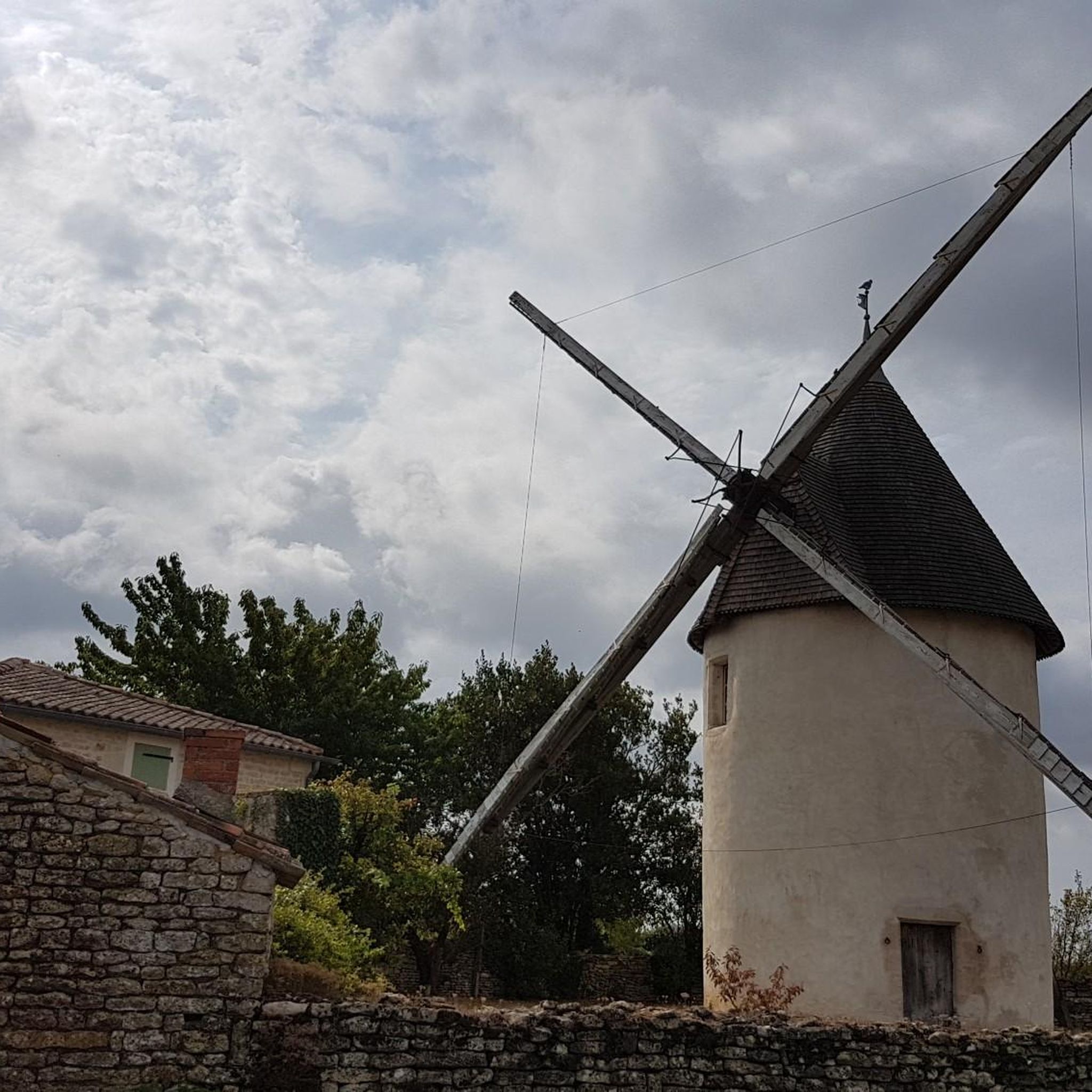
While hiking, you can discover several points of interest. The historic Maillezais Abbey is a significant landmark, and the charming Port d'Arçais offers a picturesque stop. You might also encounter the Pichonnière Mill or the site of Fort Dognon in Maillé itself.
Are there any hikes that feature the canals or waterways of the Marais Poitevin?
Many trails in Maillé are designed to showcase the intricate canal system. The Lock of the Marais Poitevin loop from Damvix is a moderate 9.5 km path that offers excellent perspectives of the waterways and takes about 2 hours 23 minutes to complete.
What do other hikers say about the trails in Maillé?
The hiking trails around Maillé are highly regarded by the komoot community, with an average rating of 4.5 stars from over 150 reviews. Hikers often praise the unique wetland landscapes, the peaceful atmosphere, and the well-maintained paths that allow for immersive exploration of the 'Green Venice' region.
Are there any longer or more challenging routes for experienced hikers?
While most routes are easy to moderate due to the flat terrain, there are a few longer options. The Damvix Village and Riverside – Port d'Arçais loop from Damvix is a moderate 15.0 km trail, taking around 3 hours 47 minutes, which provides a good distance challenge while exploring riverside and village surroundings.
What is the best time of year to go hiking in Maillé?
The Marais Poitevin is beautiful year-round, but spring and autumn offer particularly pleasant conditions for hiking with milder temperatures and vibrant natural colors. Summer can be warm, making early morning or late afternoon hikes ideal. Winter offers a different, often misty and serene, perspective of the wetlands.
Are dogs allowed on the hiking trails in Maillé?
Generally, dogs are welcome on many of the public hiking trails in the Marais Poitevin, provided they are kept on a leash, especially to protect local wildlife and respect other hikers. It's always advisable to check specific trail regulations or local signage for any restrictions.
Is there public transport access to hiking starting points around Maillé?
While Maillé is a village, public transport options in the Marais Poitevin can be limited. It's often recommended to have a car for flexibility to reach various trailheads. However, some local bus services might connect Maillé to larger towns, from which you could potentially access certain starting points. Always check local transport schedules in advance.
Where can I park my car when starting a hike in Maillé?
Many villages and popular starting points for hikes in the Marais Poitevin, including Maillé itself (e.g., near the Port de Maillé), offer designated parking areas. For specific routes, komoot often provides information on parking availability near the trailhead. Look for village centers or popular attraction sites for convenient parking.
Most popular attractions around Maillé

Get inspired with the komoot mobile app


Explore more
Browse the best Hikes in other regions.
