Top 18 Lakes around Le Reposoir
Best lakes around Le Reposoir are situated in a mountainous region of the French Alps, characterized by its valleys and alpine terrain. This area offers a variety of natural landscapes, shaped by glacial activity, providing numerous opportunities for outdoor exploration. Visitors can find options for easy lake walks and more challenging trails, making it a suitable destination for different activity levels. The region's natural beauty and diverse aquatic environments are key features for those exploring lakes near Le Reposoir.
Best…
Last updated: July 12, 2026
Lake Flaine
Highlight • Lake
Translated by Google •
Tip by

Lake Passy
Highlight • Lake
Great lawn for sunbathing, very diverse offerings in and around the water and around it.
Translated by Google •
Tip by

Sign up now to discover places like this
Get recommendations on the best single tracks, peaks, & plenty of other exciting outdoor places.
Sign up for free
Third Lake at Les Ilettes
Highlight • Lake
Translated by Google •
Tip by

Lessy lake
Highlight • Lake
Translated by Google •
Tip by

Lac Bénit
Highlight • Lake
Translated by Google •
Tip by
Sign up for free to discover even more lakes around Le Reposoir.
Sign up for free
Already have an account?
Start today with a free account
Your next adventure awaits.
Login or Signup
Popular around Le Reposoir
Immerse yourself in the French Alps from Samoëns to Entremont-le-Vieux – GR 96

Legendary passes of the Tour de France
Road Cycling Routes around Le Reposoir
Hiking around Le Reposoir
Cycling around Le Reposoir
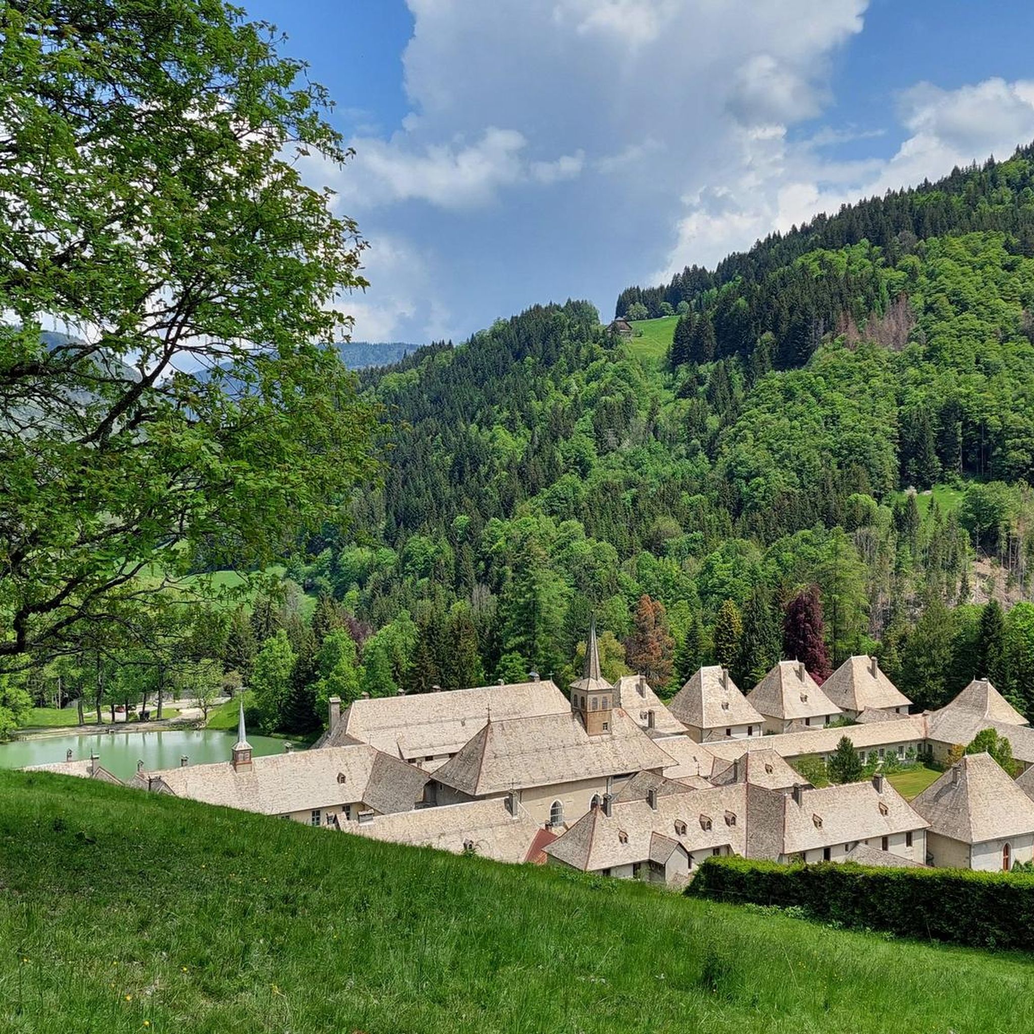
MTB Trails around Le Reposoir
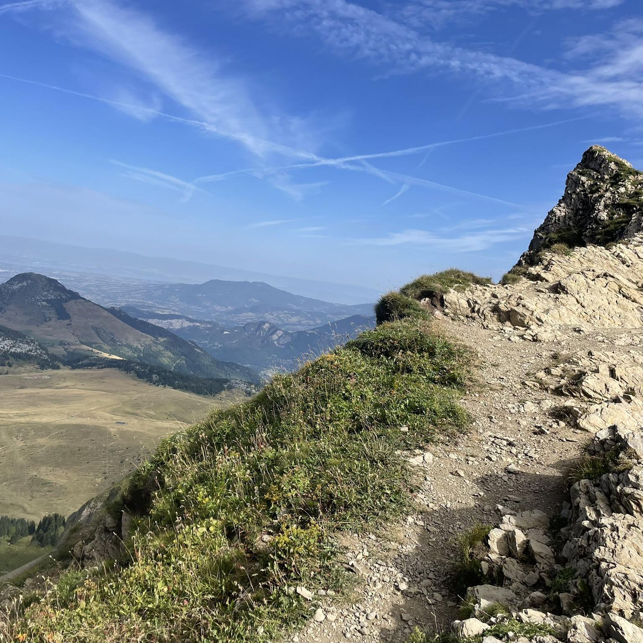
Running Trails around Le Reposoir

Gravel biking around Le Reposoir
Mountain Hikes around Le Reposoir

Tips from the Community

Very beautiful lake with a supervised swimming area.
1
0

A beautifully landscaped bathing lake with many sports and leisure opportunities
5
0

The "Lac des Iles" is an artificial lake created in the 1970s following the excavation of the materials necessary for the creation of the A40 motorway. It is designed for leisure activities and in particular swimming: - supervised beach in summer, - grassy coves, - activities: mini-golf, small electric boats, orienteering course, fitness trail, karting... - water pleasures: windsurfing, stand-up paddle, fishing...
1
0

Wonderfully located in a protected valley, a wonderful hiking destination for a rest, in summer with a hut that is open all day, otherwise only on weekends or not at all.
0
0
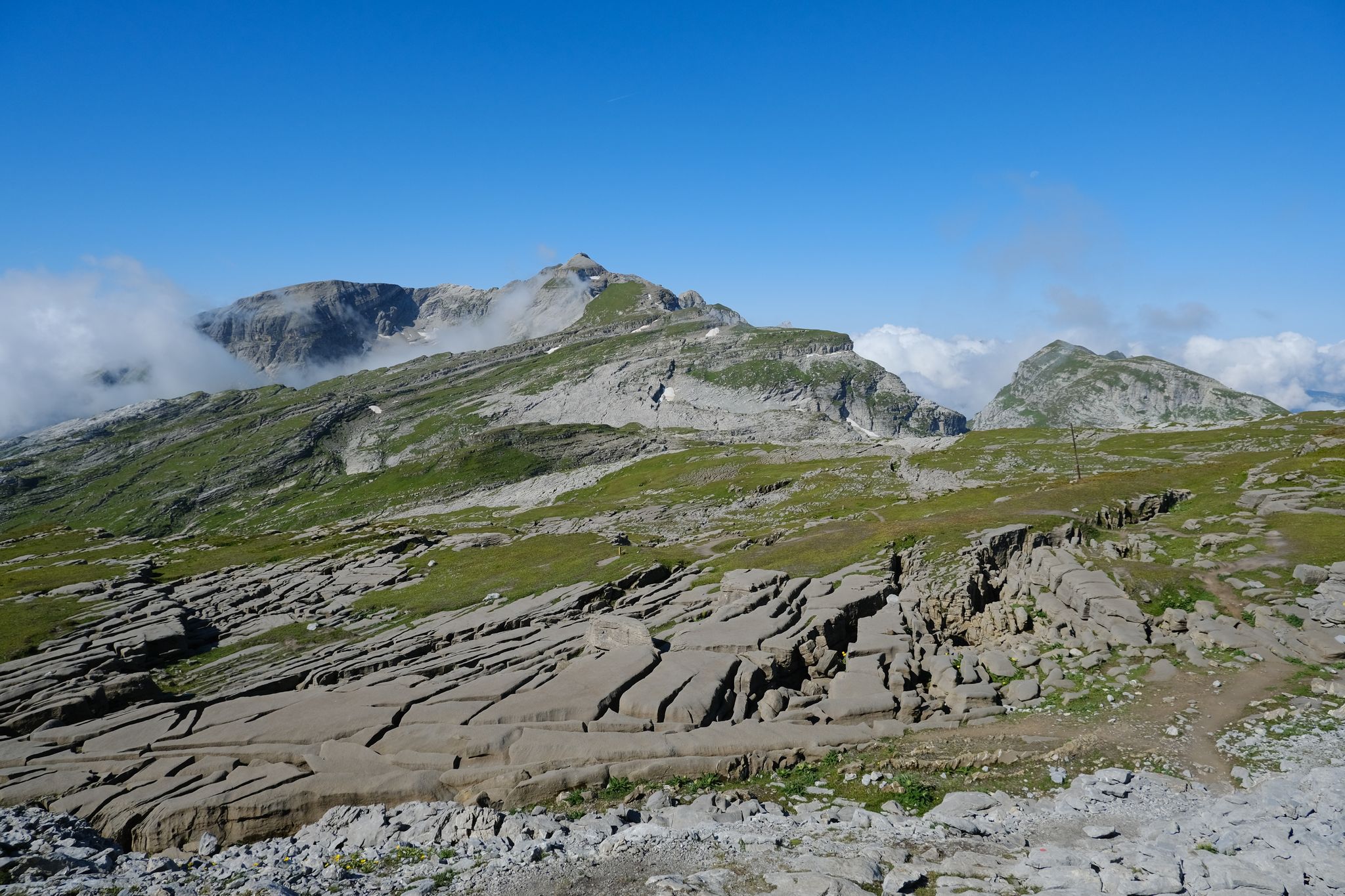
Lake Flaine is located at the bottom of a valley over-excavated by a local glacier which descended from the summit of the lapiaz zone of the Platé desert (Tête lawn (2475 m) and Grandes platières (2480 m)) during the great glaciations. At its western end, it is blocked by the rocky threshold of the Col de Cou (1501 m). From a geological point of view, this depression is dug in limestone from the Urgonian (130 to 112 million years) and the Neocomian (145 to 130 million) which is very easily attacked by water and which therefore cannot hold her back. The bottom is however covered with a thick layer of silt that can reach several tens of meters which ensures its watertightness7. During the last retreat of the glacier from the basin, almost 12,000 years ago, the lake was 20 meters deeper and occupied the entire bottom of the basin over a length of 1200 m but it gradually shrank that the losses became more active and accelerated its evacuation. The result is a long plain slowly tilting 2% towards the west where the lake takes refuge in its low waters6. Currently, the lake is fed by four small streams, three of which are permanent. Two come from the Col de Cou while the third comes from the south and circulates under the scree. The main one follows the valley, it crosses the Flaine ski resort and its wastewater treatment plant and has a very variable flow rate: it can be dry but can also flow 300 l/s6. The surface area of the lake fluctuates accordingly and is only 1.5 ha and 0.8 m deep during low water in autumn and winter. However, it does not pass below this limit because its main outlet is not at the lowest point, but on its southern bank, in a scree. The flood period occurs when the snow melts to reach a size of 12 ha for a depth of 10.5 m, values reached in 1985-86 around June 1st. This value, however, seems higher than in previous decades since the water then surrounds the alpine chalets on the lake plain and the fir trees have their trunks in the water for several weeks, which represents conditions where they do not should not be able to develop. The cause of the increase in spring floods is attributed to the creation of the Flaine resort in the 1960s which led to waterproofing of the soil (parking lots, roads, sealing of lapiaz for ski slopes, etc.) as well as the capture of additional water from Lake Vernant8. Another consequence is that the bed of the Flaine stream has sunk several meters as it enters the lake plain6. During periods of high water, water flows through two additional temporary outlets located on the north side of the lake and forming funnels 2 to 3 m in diameter7. Water characteristics A surface temperature of 13.5° was recorded on May 26, 1986. In winter, the lake can also freeze over almost its entire depth. A measurement carried out during periods of high water revealed that its pH is relatively alkaline (9.08) for relatively low mineralization (TH = 4.46 °f mainly due to 17.2 mg/l of calcium). Lined by fine gray-beige silt, the lake is quite turbid and has a transparency of only around 1 m. Bacteriologically contaminated, around 1990 it was in an advanced state of eutrophication due to the lack of performance of the wastewater treatment plant6. The lake is regularly stocked with rainbow trout and brown trout9.
1
0
Lake Bénit is located at an altitude of 1,452 meters, on the northern slope (ubac) of the Bargy chain, in the Bornes1 massif. It is dominated to the south by the limestone wall of the Bargy chain from where the scree of the Col d'Encrenaz cirque spills out and delimits the south-west shore of the lake. The northwest bank corresponds to the slope of the old glacial basin while the east bank opens onto the valley of the Lac Bénit stream. In 1988, Father Arsène Bourgeaux, ethnographer, in a publication dedicated to the parish, indicated that the lake, “for the inhabitants of the Mont is considered as a sort of founding place where the identity of a population originates” 7. The lake was the subject of processions by the populations of Marnaz and Mont-Saxonnex, on Saint Claude's Day, in order to protect the villages from flooding. The lake benefited from developments in the early 1960s, notably with the raising of the lake level, which made it possible to double its surface area7. The inauguration took place on July 11, 19657. A mass was improvised by priest Claude Scherantz. Lake Bénit is the subject of many legends. One of them relates that the fairies came to bathe there and were at the origin of the production of butter and tomme in the town. A second legend says that an episcopal ring is found in the lake9. Following a deadly avalanche, the bishop of the diocese is said to have gone “in a grand procession” to bless the lake and to have thrown “his episcopal ring into the waves asking heaven that such a catastrophe never happens again”9. Another version says that the object was so heavy that it fell into the lake at the time of the blessing9. According to this legend, an avalanche emptied the lake and flooded Marnaz below4. Finally Alphonse Favre (en) reports that “this lake is due to a collapse in which a fir forest disappeared. As for the time, it can only be established in a very doubtful manner, by the fact that an old man from the village of Brezon assured, around 1845, that this event had happened in his father's youth. »1
0
0

Great lake, with lots of sporting opportunities for everyone
3
0

Passage offering a view of the lake and leading to the green needle from which we have a view of the whole valley.
0
0
Frequently Asked Questions
Which lakes around Le Reposoir are suitable for families?
For a family-friendly outing, consider Third Lake at Les Ilettes. It offers supervised swimming in July and August, picnic areas, a fitness trail, volleyball, and ping-pong tables. Lessy lake is also noted as family-friendly, offering a peaceful alpine setting.
Are there lakes near Le Reposoir where I can go wild swimming?
While specific wild swimming spots are not detailed, Third Lake at Les Ilettes and Lake Passy both feature supervised swimming areas during summer months, providing safe and accessible options for enjoying the water.
What kind of water sports can I do at the lakes near Le Reposoir?
Third Lake at Les Ilettes is an excellent spot for windsurfing, and it's an ideal site for discovering other water sports. Lake Passy also offers diverse sports and leisure opportunities in and around the water.
Where can I find lakes with the best views around Le Reposoir?
Lessy lake, situated at 1,730 meters altitude in the heart of the Aravis massif, offers superb alpine views. Third Lake at Les Ilettes and Lake Flaine are also recognized for their scenic viewpoints.
Are there easy walking trails around the lakes for beginners or short hikes?
Many lakes in the region offer options for easy walks. While specific short, easy trails are not detailed for every lake, the area is known for providing opportunities for different activity levels, including easy lake walks. Lessy lake is described as quite easy to access from Chinallon.
What outdoor activities can I do near the lakes around Le Reposoir?
Beyond enjoying the lakes themselves, the region offers various outdoor activities. You can find mountain biking trails, such as those detailed in the MTB Trails around Le Reposoir guide. There are also numerous mountain hikes, including routes to Lessy lake, which you can explore in the Mountain Hikes around Le Reposoir guide. Cycling routes are also available, as seen in the Cycling around Le Reposoir guide.
Is there parking available at Lac Bénit?
While specific parking details for Lac Bénit are not provided in the available information, many popular lake destinations in the region, such as Third Lake at Les Ilettes, offer free parking facilities for visitors.
What is the history or unique features of Lac Bénit?
Lac Bénit, located at 1,452 meters, is steeped in local legends, including tales of fairies and an episcopal ring. Historically, it was the subject of processions to protect villages from flooding and underwent developments in the early 1960s to double its surface area. It's considered a founding place for the identity of the local population.
Can I fish at the lakes near Le Reposoir?
Yes, fishing is possible at some lakes. For instance, one of the three Ilettes lakes at Third Lake at Les Ilettes is exclusively reserved for fishing, with species like trout, perch, and carp. Fishing licenses are required and can be purchased locally.
What is the best time of year to visit the lakes around Le Reposoir?
The lakes around Le Reposoir offer beauty in every season. Summer (July-August) is ideal for swimming and water sports, with supervised areas at lakes like Third Lake at Les Ilettes and Lake Passy. Spring and autumn provide pleasant conditions for hiking and enjoying the changing landscapes. Winter offers opportunities for snow-covered scenery, though some lakes may freeze over.
Are there any cafes or refreshment options near the lakes?
Yes, some lake sites provide amenities. Third Lake at Les Ilettes offers snacks and a refreshment bar during the summer season, along with equipped picnic areas. Lake Passy also has diverse offerings, including places for relaxation and potentially refreshments.
What makes Lake Flaine unique?
Lake Flaine is unique due to its geological history, formed in a depression over-excavated by a local glacier. Its size fluctuates significantly with the seasons, fed by several streams, and it can freeze almost entirely in winter. It's regularly stocked with rainbow and brown trout.
Most popular routes around Le Reposoir
Most popular attractions around Le Reposoir

Get inspired with the komoot mobile app


Explore more
Still not found your perfect lake around Le Reposoir? Check out the guides of these regions to see even more beautiful places.
