Top 20 Mountain Passes around Le Reposoir
Best mountain passes around Le Reposoir are situated in the French Alps, offering access to the Aravis range and views of Mont-Blanc. This region is characterized by its mountainous terrain, connecting valleys like the Borne and Avre. Le Reposoir serves as a gateway to various mountain passes, many of which have historical significance as ancient routes. The landscape features high-altitude cols, steep climbs, and diverse natural environments.
Best mountain passes around Le Reposoir
- The most popular mountain passes is Col…
Last updated: September 2, 2026
Col des Annes
Highlight • Mountain Pass
Translated by Google •
Tip by

Jaillet Pass
Highlight • Mountain Pass
Translated by Google •
Tip by

Sign up now to discover places like this
Get recommendations on the best single tracks, peaks, & plenty of other exciting outdoor places.
Sign up for free
Col de la Colombière
Highlight • Mountain Pass
Translated by Google •
Tip by

Route du Col de Romme
Highlight (Segment) • Mountain Pass
Translated by Google •
Tip by

Col du Rasoir
Highlight • Mountain Pass
Translated by Google •
Tip by

Sign up for free to discover even more mountain passes around Le Reposoir.
Sign up for free
Already have an account?
Start today with a free account
Your next adventure awaits.
Login or Signup
Popular around Le Reposoir
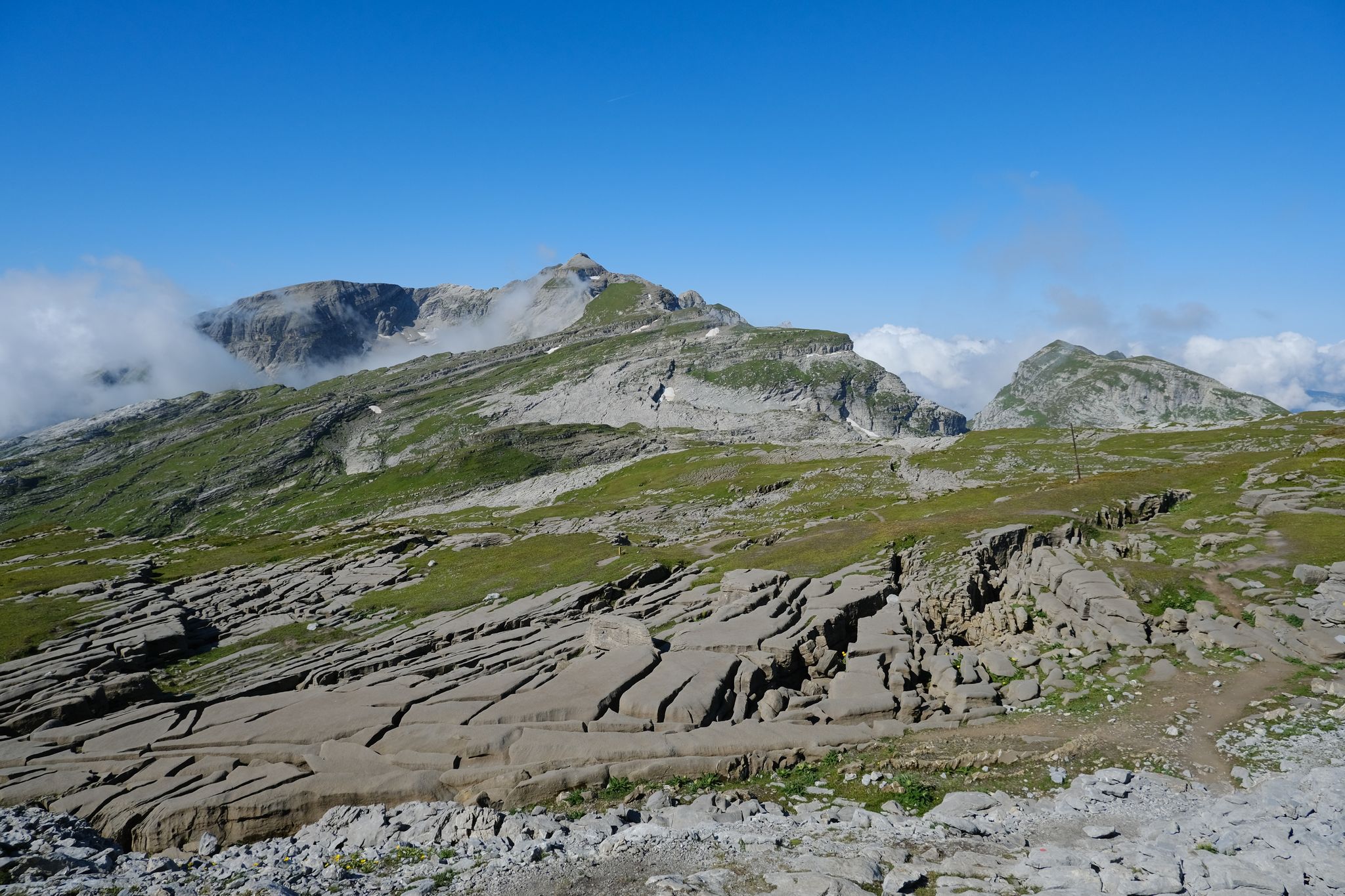
Immerse yourself in the French Alps from Samoëns to Entremont-le-Vieux – GR 96

Legendary passes of the Tour de France
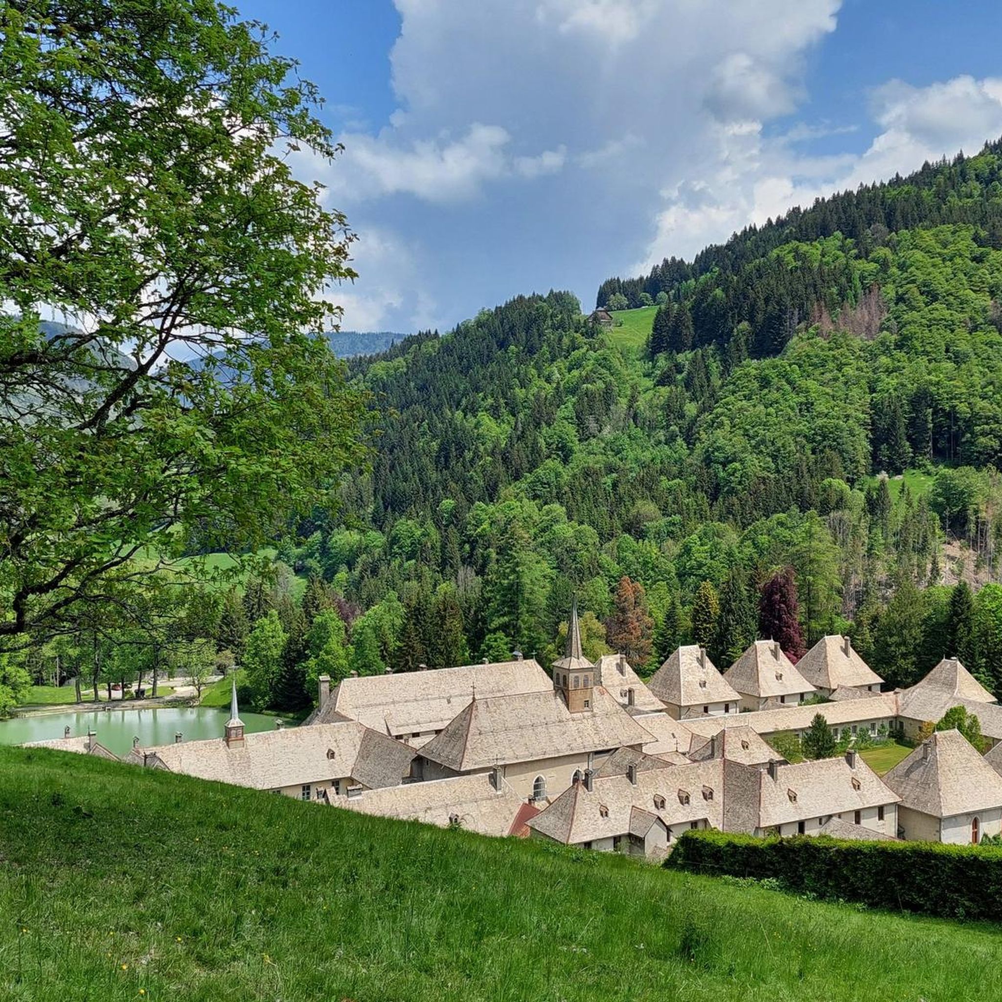
Road Cycling Routes around Le Reposoir
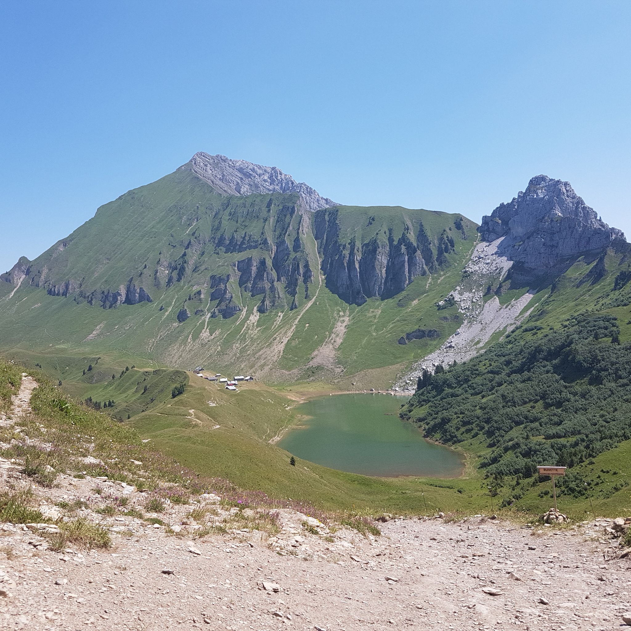
Hiking around Le Reposoir
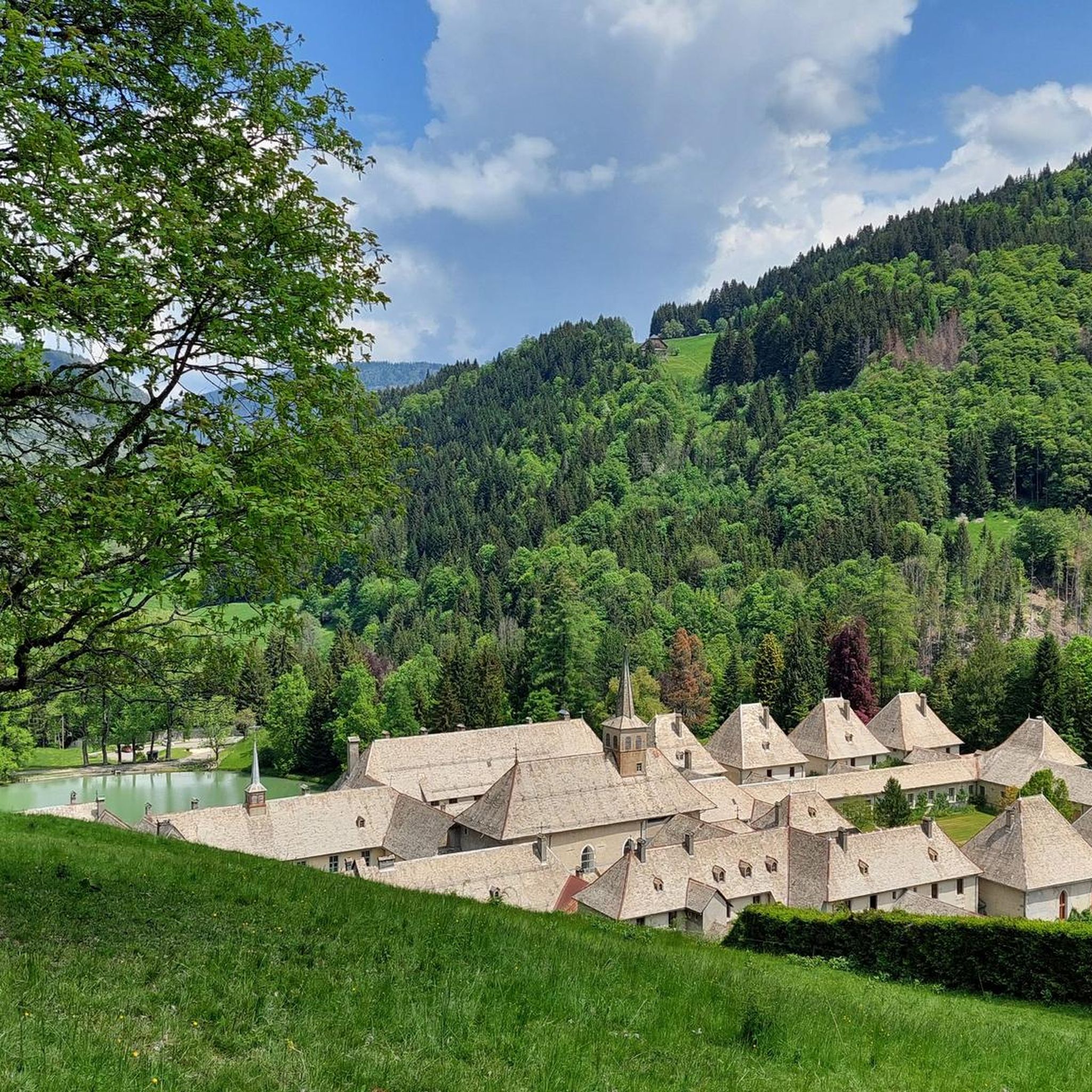
MTB Trails around Le Reposoir
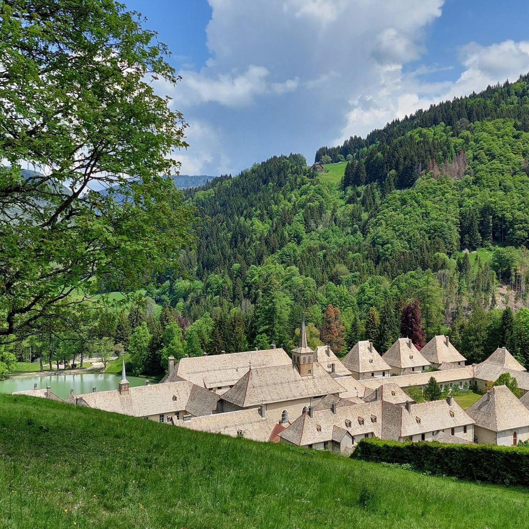
Cycling around Le Reposoir
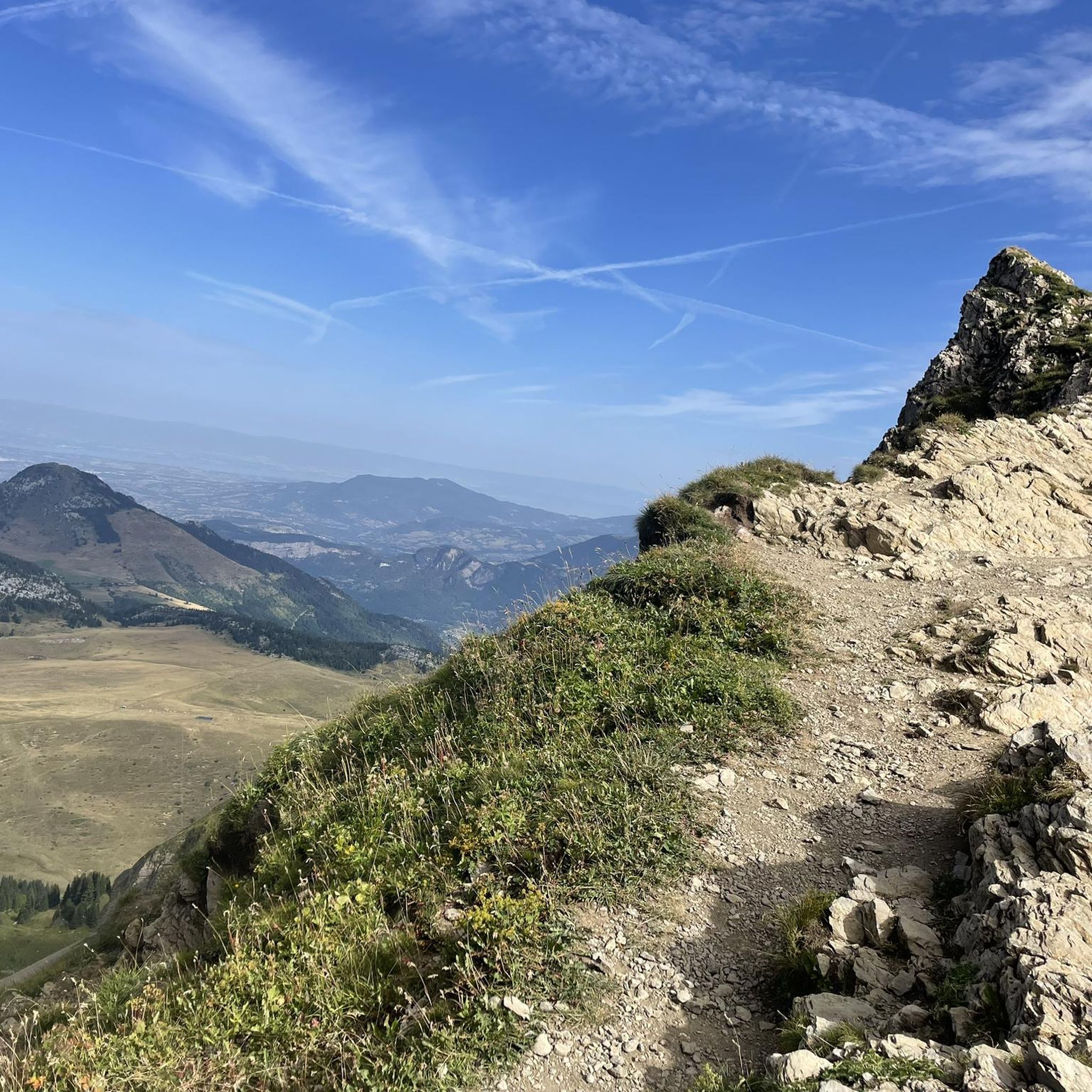
Running Trails around Le Reposoir

Gravel biking around Le Reposoir
Mountain Hikes around Le Reposoir

Tips from the Community

The Col du rasoir from La Colombiere is extremely exposed: a climb through scree where the path is no longer marked. The slope is very steep and ultra slippery. A fall can be fatal if a stop is not made within a meter of the fall. The view is worth it, but taking into account the access difficulties.
0
0

As of June 25, crossing from both sides is not possible due to construction work. It doesn't look like this will change anytime soon.
6
0

col des Annes is about 7.5km (as the crow flies) further to the northeast this section is only the entrance to the pass at 1723 m
0
0

Contrary to the previous comment, I don't think that the Col du Rasoir is made for experienced "mountaineers"... I do however believe that certain passages are perhaps the most exposed of the hike up to Jallouvre! The crest, very tapered, sometimes does not allow for error. However, this path is very busy and the path is well marked. The ascent and descent pose no more problem than that in dry weather.
2
2

I recommend the climb via "Nancy sur Cluses", a good winding climb with gradients of 13-14%, I saw a few French cycling clubs pass me and take this route :-) With luggage on the racing bike it's a real challenge (for the Route des Grandes Alpes - an insane test start).
1
0

This pass, relatively unknown, nevertheless culminates at an altitude of 1,721 meters in the Aravis. Located in the heart of mountain pastures, it is on the heights of Grand-Bornand and Reposoir. Several restaurants offer breathtaking views of the Aravis mountain range.
1
0

View of the blue Annes slope, descending from the Col des Annes.
0
0

Point of intersection Col du Jaillet Altitude 1723m The Col de Jaillet, or Col du Jaillet, is a pass located in the Aravis chain, separating the communes of Giettaz (Savoie), Sallanches and Cordon (Haute-Savoie). The pass was frequented very early, from Antiquity2, as evidenced by the presence of a border marker (just like the markers of the Col de l'Avenaz, and that of the Col du Petit Croisse Baulet3) marking the limit between the province of Graean Alps and the Viennese province4. The pass, located at a place called La Jorasse, at an altitude of 1,723 meters, was the main access route between the Mont-Blanc region and the Aravis. The Col de Jaillet is also part of the first sector of the Aravis natural zone of ecological, fauna and flora interest. It is home to a significant number of rare and protected species, such as the round-leaved sundew and the golden eagle.
2
0
Frequently Asked Questions
What are some of the most scenic mountain passes around Le Reposoir?
For breathtaking views, consider Col des Annes, which offers expansive vistas of the Aravis range. Another excellent choice is Jaillet Pass, known for its panoramic views of Mont-Blanc.
Are there challenging mountain passes for experienced cyclists or hikers?
Yes, the region offers several challenging options. The Route du Col de Romme is known for its steep descents or climbs alongside large cliffs, connecting Cluses to the high mountains. Another iconic and challenging climb is the Col de la Colombière, a legendary pass frequently featured in the Tour de France.
What kind of natural features can I expect to see at these mountain passes?
The mountain passes around Le Reposoir are set within the French Alps, offering diverse natural environments. You'll encounter high-altitude cols, steep climbs, and stunning mountain ranges like the Aravis. Jaillet Pass, for instance, is part of a natural zone of ecological interest, home to rare and protected species.
Are there any mountain passes with historical significance in the area?
Yes, many passes in the region have historical importance. Jaillet Pass, for example, was a main access route between the Mont-Blanc region and the Aravis, frequented since Antiquity and marked by ancient border markers.
Where can I find refreshments or facilities at the mountain passes?
Some passes offer facilities. At the top of Col des Annes, you'll find a refreshment bar where you can taste local specialties. Similarly, the Col de la Colombière has cafes at the summit, with visitors often recommending the blueberry pie.
What outdoor activities can I do near these mountain passes?
The area around Le Reposoir is excellent for various outdoor activities. You can find numerous cycling routes, including challenging road cycling tours like the 'Col de la Colombière — loop from Cluses' or more moderate options. There are also many hiking trails, such as the 'View of Mont Blanc – Petit Bargy loop from Le Reposoir' or the 'Carmel Monastery – Col des Annes loop from Le Reposoir'. You can explore more options on the Cycling around Le Reposoir and Hiking around Le Reposoir guide pages.
Are there any viewpoints offering panoramic vistas?
Absolutely. Col des Annes provides a breathtaking view of the Aravis range. Jaillet Pass is renowned for its magnificent panorama of Mont-Blanc. Additionally, the Pic de Jallouvre offers a majestic summit view, resembling a pyramid from the Cenise side.
What is the best time to visit the mountain passes around Le Reposoir?
The best time to visit mountain passes in the French Alps, including those around Le Reposoir, is typically from late spring to early autumn (May to October). During these months, the weather is generally milder, and the passes are clear of snow, making them accessible for cycling, hiking, and enjoying the views. Always check local conditions before your visit.
Are there options for parking near the mountain passes?
Yes, some mountain passes offer parking facilities. For instance, Col des Annes is noted to have parking available, making it convenient for visitors arriving by car.
What do visitors enjoy most about the mountain passes in this region?
Visitors frequently praise the stunning views, especially of the Aravis range and Mont-Blanc. The opportunity to enjoy local specialties at refreshment bars after an ascent is also a highlight. Many appreciate the challenging climbs and the historical significance of these ancient routes, as well as the diverse natural environments.
Can I find circular routes that include these mountain passes?
Yes, there are several circular routes available that incorporate the mountain passes. For example, you can find cycling routes like the 'Le Reposoir – Col de la Colombière loop from Le Reposoir' or the 'Le Reposoir village – Col de Romme loop from Le Reposoir'. For hiking, there's the 'Col de la Colombière (1,618 m) – Pointe de la Botte loop from Les Moulins'. More details can be found on the respective cycling and hiking guide pages.
Most popular routes around Le Reposoir
Most popular attractions around Le Reposoir

Get inspired with the komoot mobile app


Explore more
See even more epic mountain passes by checking out these guides around Le Reposoir:
