The best mountain hikes around Cohennoz
4.7
(20)
144
hikers
13
hikes
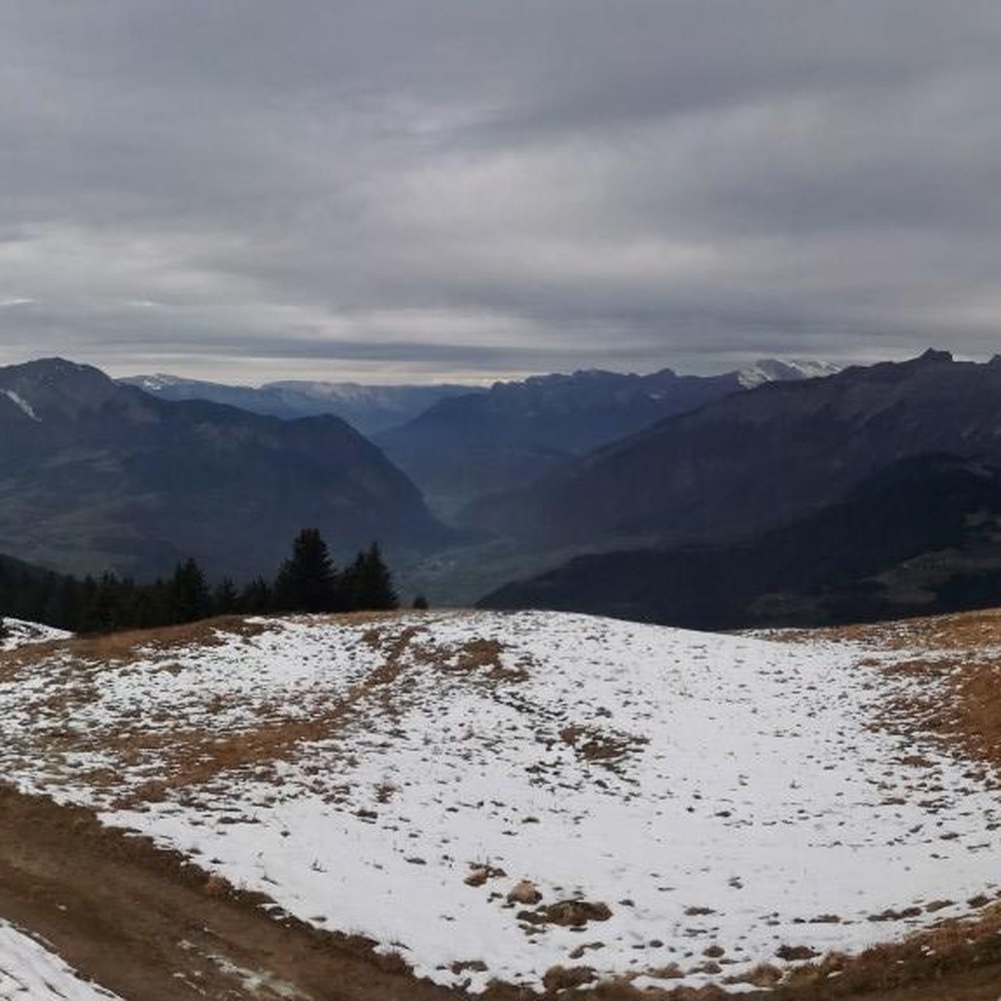
Mountaineering routes around Cohennoz are situated in the Savoie department of France's Auvergne-Rhône-Alpes region, offering diverse alpine terrain. The area is characterized by the majestic Aravis massif, with elevations ranging from 520m to 1880m, encompassing forests and alpine pastures. From various vantage points, including Mont Lachat, mountaineers can experience views of Mont Blanc. This region provides a varied landscape for challenging ascents and explorations.
Best mountaineering routes around Cohennoz
- The most popular mountaineering route is La Praz Shortcut – Mont…
Last updated: October 1, 2026
4.5
(2)
16
hikers
10.8km
05:25
980m
980m
Hard mountaineering route. Very good fitness required. Sure-footedness, sturdy shoes and alpine experience required.
5.0
(4)
16
hikers
10.3km
06:03
910m
910m
Hard mountaineering route. Very good fitness required. Sure-footedness, sturdy shoes and alpine experience required.

5.0
(1)
16
hikers
10.6km
05:29
980m
980m
Hard mountaineering route. Very good fitness required. Sure-footedness, sturdy shoes and alpine experience required.
4.0
(2)
12
hikers
14.7km
07:14
1,270m
1,270m
Hard mountaineering route. Very good fitness required. Sure-footedness, sturdy shoes and alpine experience required.
5.0
(1)
16
hikers
13.0km
05:21
990m
990m
Hard mountaineering route. Very good fitness required. Sure-footedness, sturdy shoes and alpine experience required.
Get access to more routes and recommendations from other explorers.
Already have an account?
Our route recommendations are based on thousands of hikes, rides, and runs completed by other people on komoot.
Start today with a free account
Your next adventure awaits.

Tips from the Community

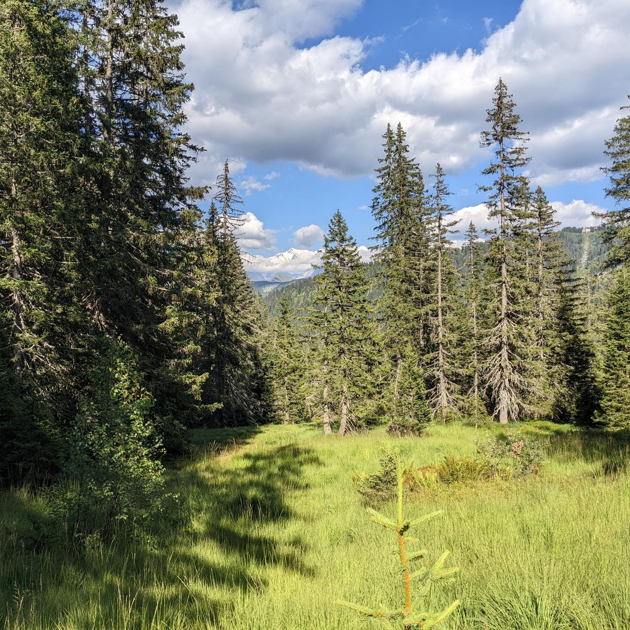
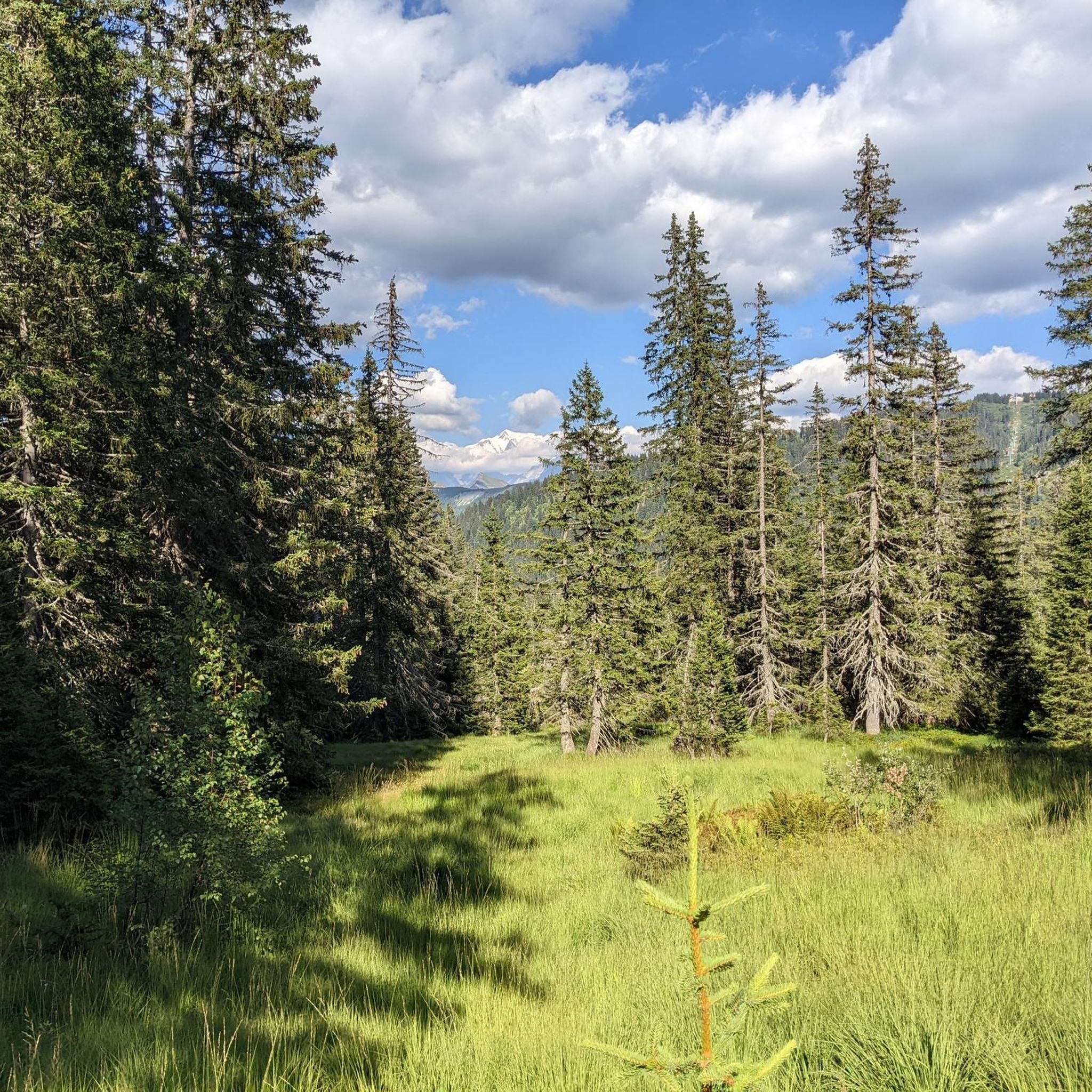
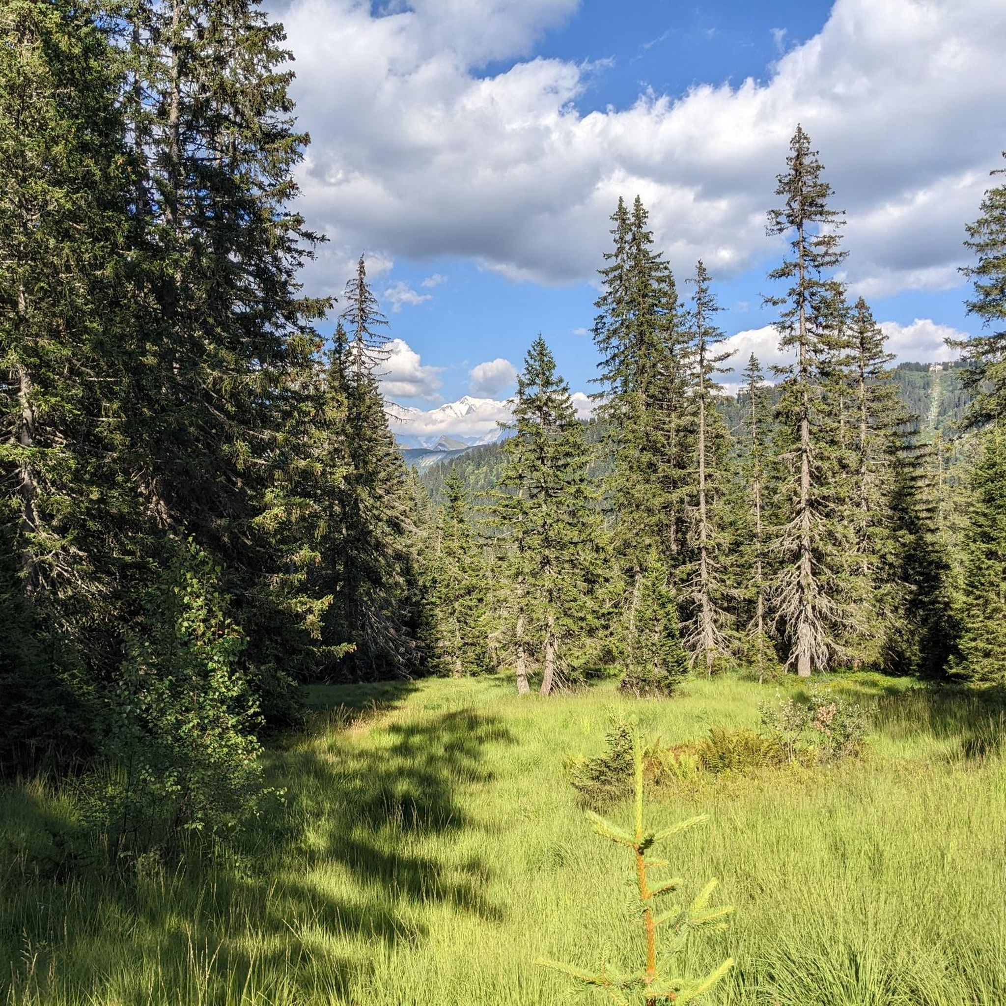
Nice small pass, decent but steady climb. Great views and a nice restaurant at the pass, Refuge Auberge du Col de l'Arpettaz
3
0

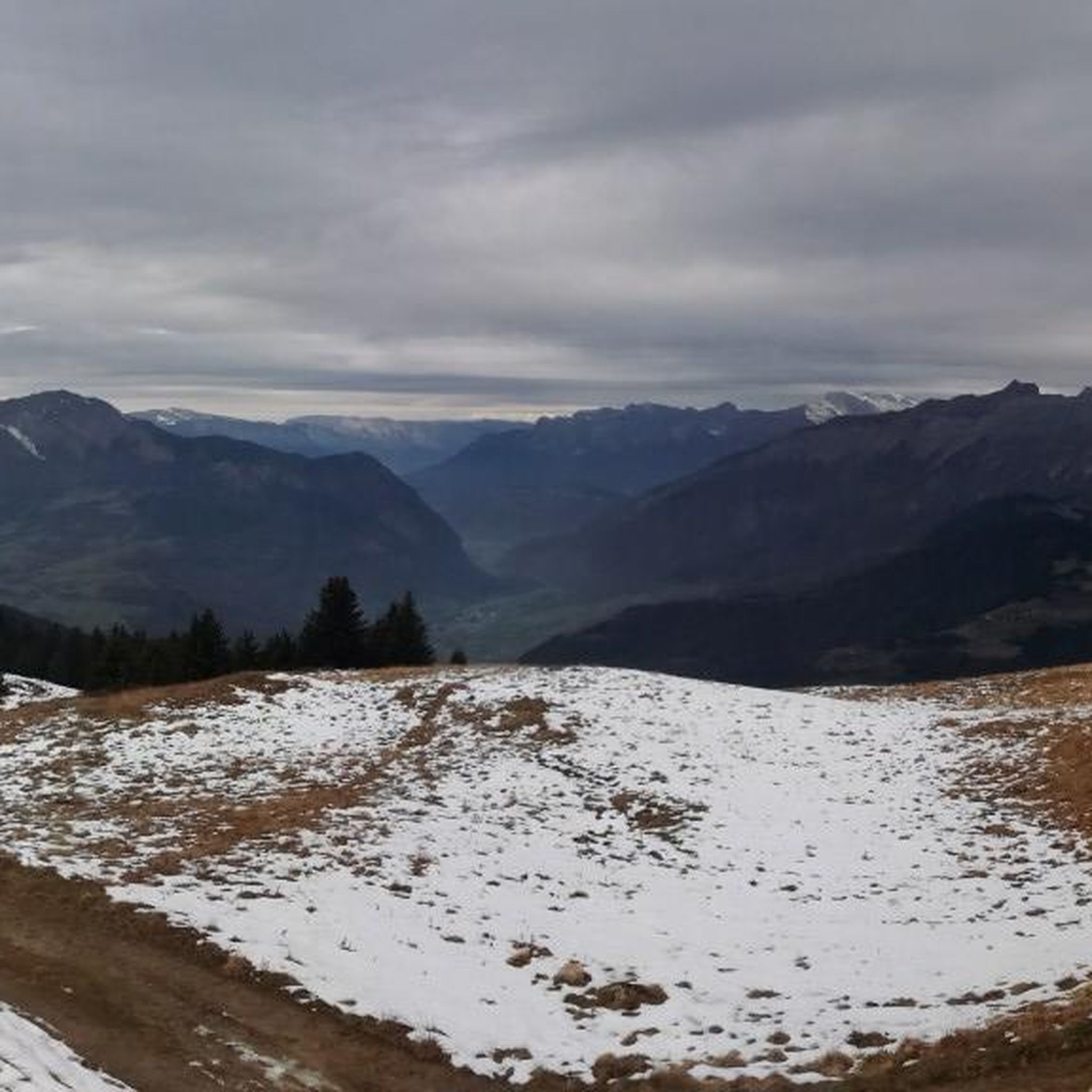
Little-known and little-frequented pass, the climb is done alone and without a sound in the forest. The view is magnificent and on arrival, the refuge allows you to have a small drink (⚠️payment by species only). The road is in poor condition and it can be disturbing on the way down. If you have a Gravel and courage, the thirst route (Gravel/mountain bike path) allows you to reach the Col des Aravis and is magnificent. Enjoy your climb and for more advice, follow us on Komoot and Instagram @chouchou_team
1
0

This mountain pass is located at 1,581 meters in the Aravis massif. Located between Mont Charvin and Mont Blanc, it offers magnificent views. Several variations of ascent allow you to reach it by crossing spectacular landscapes.
1
1

Sublime place for a stopover or better, to sleep ⛺️
1
0
Busy but superb panorama! Don’t hesitate to stop by before or after climbing Mont Charvin ;)
2
0

At the foot of Mont-Charvin, in the Aravis massif, is this refuge that has an exceptional view of the Mont-Blanc mountain range.
0
0
The Arpettaz Refuge at the foot of Mont-Charvin, is a mountain hut/restaurant on the outskirts of Savoie, Haute-Savoie, in the middle of mountain pastures at 1581 m. on the Col d'Arpettaz. From the refuge and the col there are exceptional views of the Mont-Blanc mountain range.
2
0

magnificent ridge that leads to mont charvin with a view of the lake below
0
0
Frequently Asked Questions
How many mountaineering routes can I find around Cohennoz?
There are 14 distinct mountaineering routes around Cohennoz, ranging from easy to difficult, offering diverse experiences in the Aravis massif. These routes are highly rated by the komoot community, with an average score of 4.4 stars.
Are there any easier mountaineering routes suitable for beginners in Cohennoz?
Yes, while many routes are challenging, there is 1 easy mountaineering route available around Cohennoz. This allows beginners to experience the stunning alpine environment without tackling the most demanding ascents immediately. You can find options that wind through forests and offer beautiful views without extreme elevation gains.
Can I find circular mountaineering routes in Cohennoz?
Many of the mountaineering routes around Cohennoz are designed as loops, allowing you to start and finish at the same point. For example, the challenging La Praz Shortcut – Mont Charvin loop from Le Bouchet-Mont-Charvin and the Mont Charvin – Green and black ! loop from Mont Charvin are popular circular options that offer panoramic views of the surrounding mountains.
What kind of natural features can I expect to see on mountaineering routes in Cohennoz?
Mountaineering routes in Cohennoz offer breathtaking views of the Aravis massif and, from certain vantage points like Mont Lachat, spectacular panoramas of Mont Blanc. You'll traverse varied terrain, including forests, alpine pastures, and potentially encounter features like the Mont Lachat lake or the impressive enclosed mountain stream known as "Nant Cortet."
Are there any specific landmarks or points of interest along the mountaineering routes?
Yes, the region is rich in natural and cultural highlights. You might encounter mountain peaks like Mont Clocher or La Légette, offering incredible vistas. There are also several huts and restaurants, such as Refuge de la Croix de Pierre or Le Patafan Mountain Restaurant, which can serve as rest stops or destinations.
What is the best time of year for mountaineering in Cohennoz?
The best time for mountaineering in Cohennoz typically spans from late spring to early autumn, when trails are clear of snow and weather conditions are generally more stable. However, the region also offers winter activities like snowshoeing, and some routes might be accessible for experienced winter mountaineers with appropriate gear and knowledge of avalanche conditions.
Are there any family-friendly mountaineering options around Cohennoz?
While many mountaineering routes are challenging, Cohennoz offers a diverse network of trails. For families, it's best to look for the easier marked trails that wind through forests and alpine pastures, which are less strenuous. The region is known for over 90 km of marked trails, so there are likely shorter, less steep options suitable for families, though specific 'mountaineering' routes are generally more demanding.
What are the parking options for mountaineering trails in Cohennoz?
Specific parking information varies by trailhead. Many popular starting points for routes, especially those leading to areas like Mont Charvin, will have designated parking areas. It's advisable to check the details for your chosen route on komoot, as local access points often have small parking lots or roadside parking available.
Are dogs allowed on mountaineering trails in Cohennoz?
Generally, dogs are welcome on many hiking and mountaineering trails in the French Alps, but regulations can vary, especially within protected natural areas or during certain seasons (e.g., lambing season). It's always best to keep your dog on a leash and ensure they are well-behaved. Check local signage at trailheads for any specific restrictions.
Are there any cafes or restaurants near the mountaineering routes in Cohennoz?
Yes, you'll find several options for refreshments and meals. The village of Cohennoz itself has amenities, and there are mountain huts and restaurants strategically located along or near popular routes. For instance, Le Patafan Mountain Restaurant and Refuge du Lachat are examples of places where you can stop for a break or a meal during your mountaineering adventure.
What should I wear for mountaineering in Cohennoz?
Given the varied terrain and altitudes ranging up to 1880m, it's crucial to dress in layers. Be prepared for changing weather conditions, including sun, wind, and potential rain or even snow at higher elevations, even in summer. Sturdy hiking boots, waterproof and windproof outer layers, and sun protection are essential. Always carry enough water and snacks.
Are there any less crowded mountaineering trails in Cohennoz?
While popular routes like those around Mont Charvin can see more traffic, the extensive network of trails in the Aravis massif means you can often find quieter paths. Exploring routes that are slightly off the main tourist circuits or venturing out during off-peak hours can lead to a more solitary experience. The region's 90 km of marked trails offer plenty of opportunities to discover peaceful corners.
What is the difficulty level of the Mont Charvin routes?
The mountaineering routes around Mont Charvin are generally classified as difficult due to significant elevation gains and alpine terrain. Examples include the Mont Charvin – Mont Charvin Lake loop from Sous l'Aiguille, which involves over 1200 meters of ascent. These routes offer challenging ascents and are best suited for experienced mountaineers.
Most popular routes around Cohennoz
Most popular attractions around Cohennoz

Get inspired with the komoot mobile app


Explore more
Browse the best Mountain Hikes & Routes in other regions.
