The best MTB trails around Flumet
4.4
(1045)
9,598
riders
234
rides
Mountain bike trails around Flumet are situated in the Savoy Alps, within the Val d'Arly Mont Blanc region. The area features diverse landscapes, including views of the Mont Blanc and Aravis mountain ranges, alpine pastures, and dense woodlands. Terrain varies from forest tracks and open field trails to more technical singletracks. This environment provides a comprehensive network for mountain biking.
Best mountain bike trails around Flumet
- The most popular mountain bike trail is Ban Rouge and Mont de Vorès Loop…
Last updated: October 28, 2026
8
riders
14.3km
01:46
680m
680m
Tackle the moderate Ban Rouge and Mont de Vorès Loop, an 8.9-mile mountain biking route with 2247 feet of climbing in the French Alps.
4.6
(7)
47
riders
20.0km
02:18
880m
880m
Moderate mountain bike ride. Good fitness required.

3.7
(7)
53
riders
31.9km
03:24
1,150m
1,150m
Hard mountain bike ride. Very good fitness required. Advanced riding skills necessary. Some portions of the route may require you to push your bike.
4.7
(6)
43
riders
26.7km
02:39
850m
850m
Moderate mountain bike ride. Good fitness required.
4.8
(4)
33
riders
54.3km
04:49
1,840m
1,850m
Hard mountain bike ride. Very good fitness required.
Get access to more routes and recommendations from other explorers.
Already have an account?
Our route recommendations are based on thousands of hikes, rides, and runs completed by other people on komoot.
Start today with a free account
Your next adventure awaits.


Tips from the Community

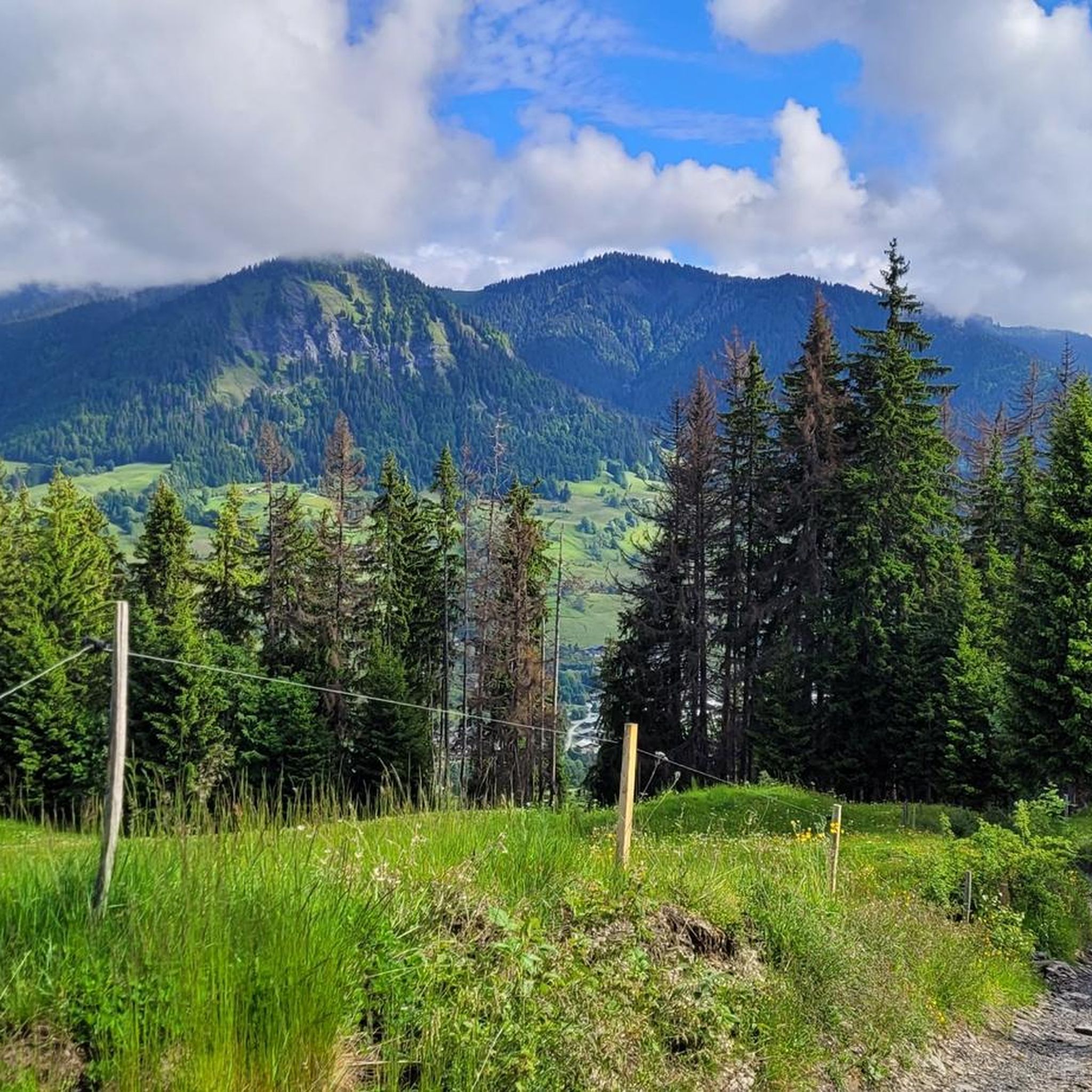
It's beautiful but it's quite demanding on the gravel descent, there are still a lot of stones, it shakes a lot
0
0

Nice small pass, decent but steady climb. Great views and a nice restaurant at the pass, Refuge Auberge du Col de l'Arpettaz
3
0
Signposts for various directions and activities.
2
0
Small side road in Praz-sur-Arly
2
0
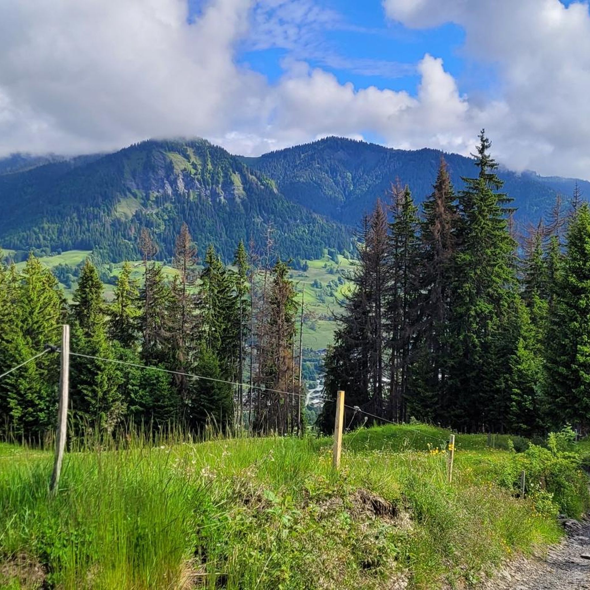
Beautiful view and tight hairpin turns, fortunately closed to buses and large trucks.
2
0

Intersection point Pont de L'Isle Altitude 1010m
1
0
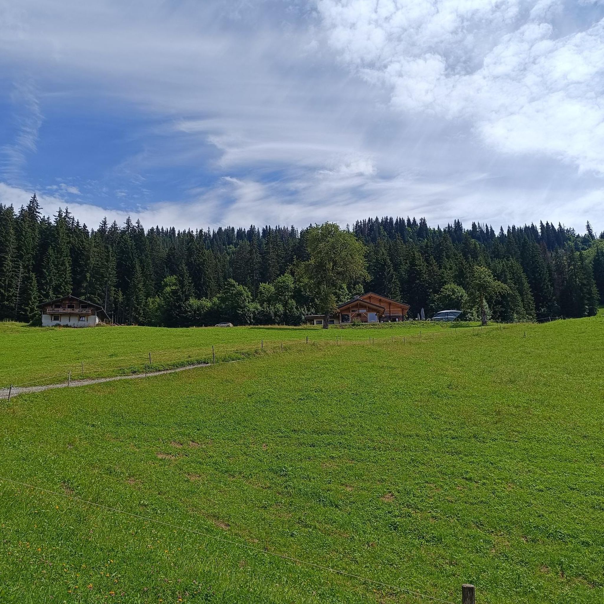
Nestled at an altitude of 1,750 meters, the Auberge Bonjournal welcomes you in an authentic and warm setting, offering a panoramic view of the Aravis, the Mont-Joly mountain range and the Dômes de Miage. Whether in winter, summer or during autumn evenings, the Auberge Bonjournal is the ideal place to eat during your many activities
1
0
Point d'intersection Bonjournal Altitude 1725m
1
0
Frequently Asked Questions
How many mountain bike trails are available around Flumet?
The Flumet area, within the Val d'Arly Mont Blanc region, boasts an extensive network of over 220 mountain bike trails. The region as a whole features an impressive 230 kilometers of FFC-labeled itineraries, catering to all skill levels from beginners to advanced riders.
Are there mountain bike trails suitable for beginners or families in Flumet?
Yes, Flumet offers a variety of trails suitable for different skill levels. Beginners and families can find easy routes with minimal elevation gain (STS S0-S1). There are also dedicated 'fun zones' designed for those new to the sport or looking to improve their technique in a family-friendly setting.
What kind of terrain can I expect on mountain bike trails in Flumet?
Mountain bike trails in Flumet traverse diverse landscapes. You can expect everything from flowing singletracks through dense woods, like 'Single de l'éperon' and 'Sous Balmette', to forest tracks, open field trails, and high mountain pastures. More technical routes may include rocks, roots, and berms, such as those found on 'Les Auges'.
Are there any circular mountain bike routes around Flumet?
Yes, many mountain bike routes in Flumet are designed as loops. For example, the Ban Rouge and Mont de Vorès Loop is a moderate 14.3 km trail offering scenic views across alpine terrain. Another option is the challenging Bonitas curvas – Crêtes du Torraz loop from Flumet, which covers over 26 km with significant elevation.
What are some notable viewpoints or attractions along the mountain bike trails?
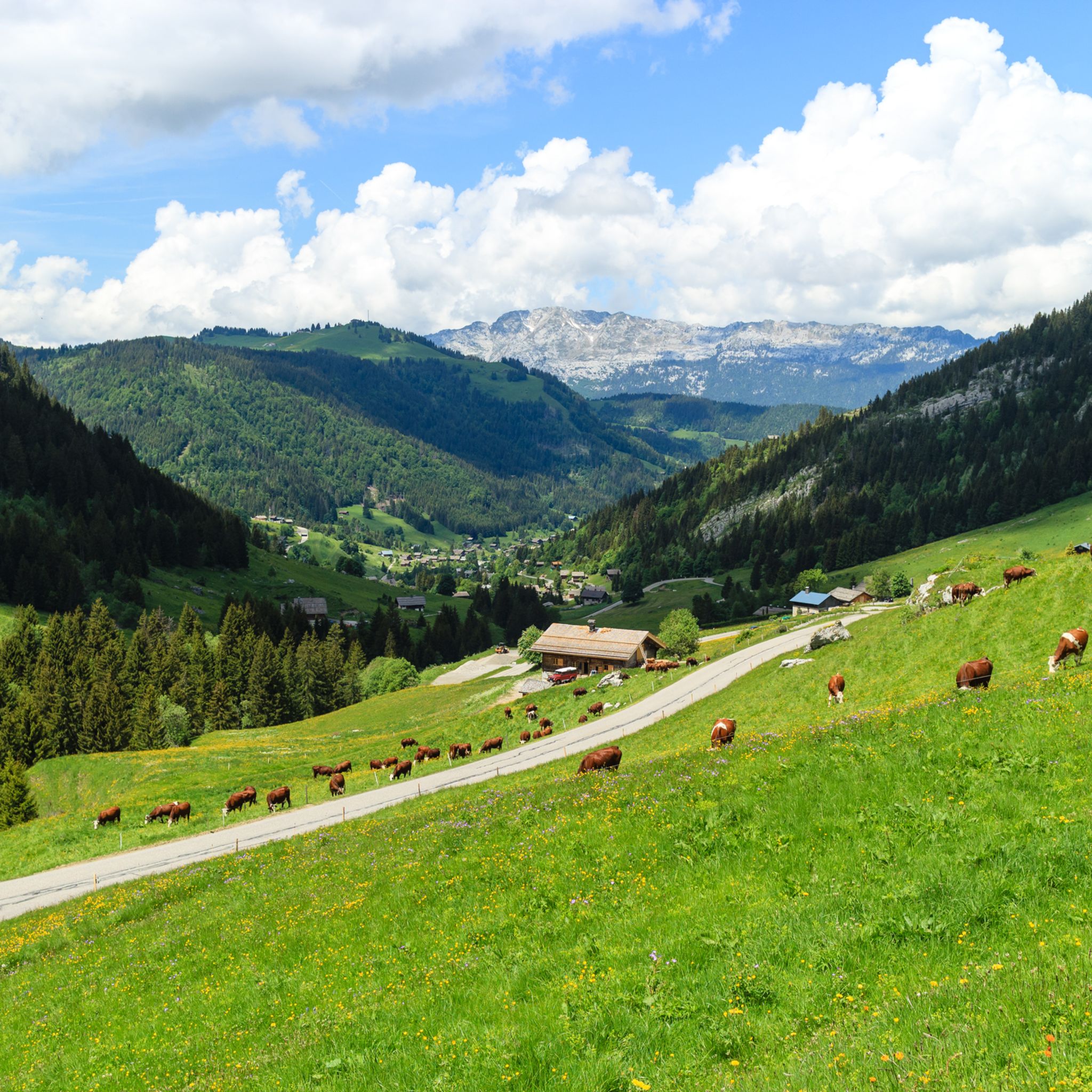
The trails often provide breathtaking panoramas of the Mont Blanc and Aravis mountain ranges. You can also find picturesque Savoyard hamlets and views of grazing cows in alpine meadows. For specific attractions, consider visiting Lake Tardevant or enjoying the View of Lake Tardevant and Mont Lachat. The Mont Blanc view – View of the French Alps loop from Praz-sur-Arly is specifically designed for stunning vistas.
Are there any bike parks or dedicated downhill routes in the Flumet area?
Yes, for adrenaline seekers, the Val d'Arly region offers eight downhill routes accessible via ski lifts, making descents more enjoyable. You can also explore areas like Trail at the Foot of the Aiguille des Calvaires, which is part of the bike park offerings around Flumet.
What do other mountain bikers enjoy most about mountain biking in Flumet?
The area is highly rated by the komoot community, with an average score of 4.4 stars from over 900 reviews. Reviewers often praise the diverse landscapes, from forest tracks to high mountain pastures, and the stunning views of the Mont Blanc and Aravis mountain ranges. The variety of trails catering to all skill levels is also frequently highlighted.
Are there any specific routes that offer expansive mountain vistas?
Absolutely. The Le Patafan Mountain Restaurant – Col du Very loop from Praz-sur-Arly is a difficult 40 km path that traverses high mountain passes and offers expansive mountain vistas, including the Patafan area. Another excellent choice for views is the Val d'Arly Scenic Views – Le Plan des Crêtes loop from Praz-sur-Arly.
Is it possible to use e-bikes on the trails in Flumet?
Yes, many trails in the Val d'Arly region are suitable for electric mountain bikes (e-bikes). Dedicated e-bike trails and chairlift access are available, making ascents easier and more accessible for riders who prefer assistance.
What is the best time of year for mountain biking in Flumet?
The summer months are ideal for mountain biking in Flumet. During this time, the alpine pastures are vibrant, and the weather is generally favorable for exploring the extensive trail network. The built lake in Flumet also offers a refreshing break after a day on the trails.
Are there any permits or special cards required for mountain biking in Flumet?
The Val d'Arly region boasts 230 kilometers of FFC-labeled mountain biking itineraries, which generally indicates well-maintained and accessible trails. While specific permits for individual trails are not typically required, it's always advisable to check local regulations or information centers upon arrival for any updates or specific access rules, especially for protected areas or private lands.
Most popular routes around Flumet
Most popular attractions around Flumet

Get inspired with the komoot mobile app


Explore more
Browse the best MTB trails in other regions.
