The best walks and hikes around Dingsheim
4.6
(1160)
7,861
hikers
314
hikes
Hiking around Dingsheim offers access to diverse landscapes within the Alsace region, characterized by its proximity to the Vosges Mountains and the Plain of Alsace. The terrain includes cool forests, extensive vineyards, and gentle hills, providing varied environments for outdoor activities. The area features a network of trails that combine natural beauty with historical sites, such as the Forts Trail.
Best hiking trails around Dingsheim
- The most popular hiking route is Fort Ducros – Oberhausbergen hill loop from Dingsheim,…
Last updated: July 1, 2026
19
hikers
6.45km
01:42
60m
60m
Easy hike. Great for any fitness level. Easily-accessible paths. Suitable for all skill levels.
10
hikers
11.6km
03:02
80m
80m
Moderate hike. Good fitness required. Easily-accessible paths. Suitable for all skill levels.

Sign up for free
4.0
(3)
53
hikers
4.76km
01:17
60m
60m
Easy hike. Great for any fitness level. Easily-accessible paths. Suitable for all skill levels.
5.0
(1)
15
hikers
5.77km
01:32
60m
60m
Easy hike. Great for any fitness level. Easily-accessible paths. Suitable for all skill levels.
5.0
(13)
8
hikers
5.84km
01:29
20m
20m
Easy hike. Great for any fitness level. Easily-accessible paths. Suitable for all skill levels.
Get access to more routes and recommendations from other explorers.
Sign up for free
Already have an account?
Our route recommendations are based on thousands of hikes, rides, and runs completed by other people on komoot.
Start today with a free account
Your next adventure awaits.
Login or Signup
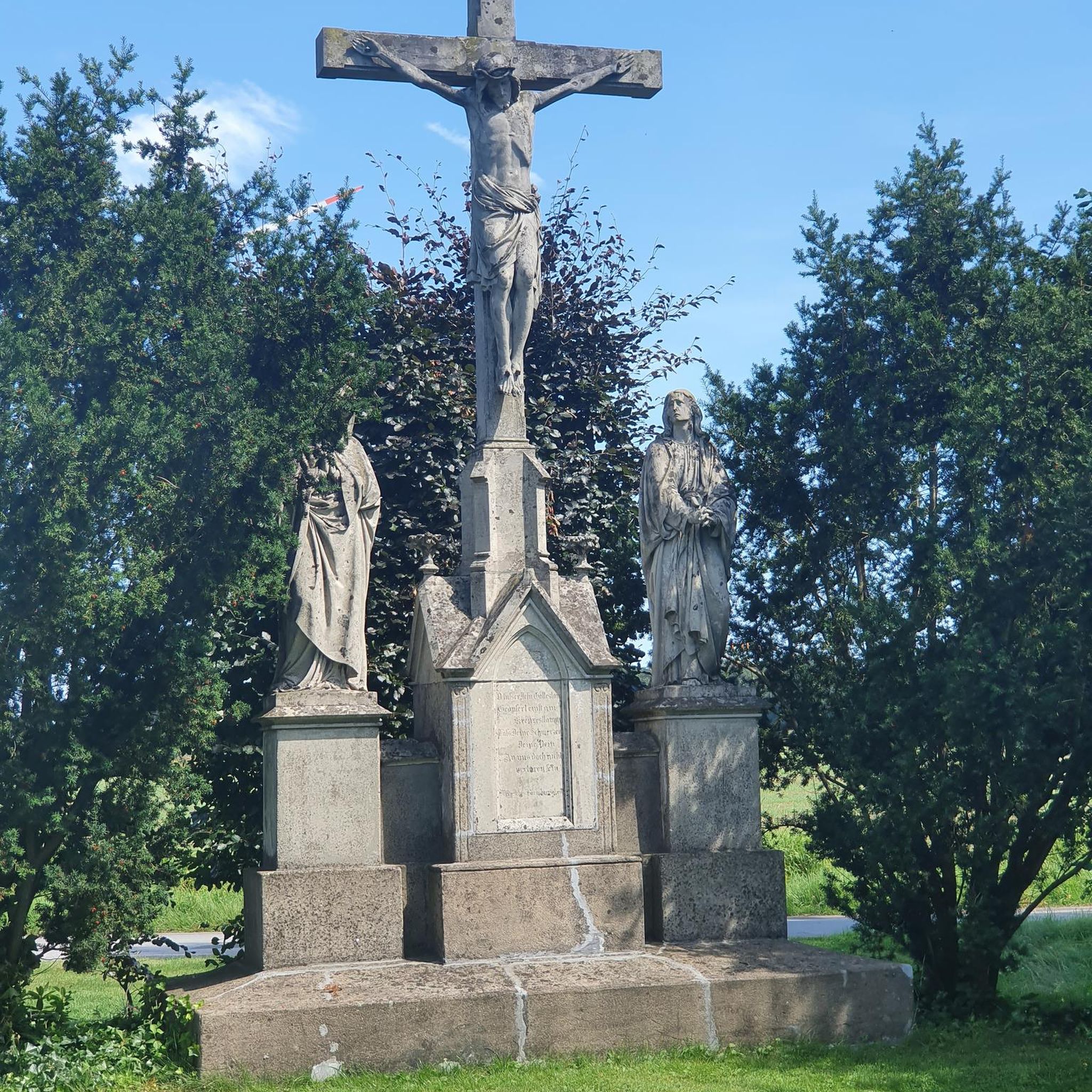

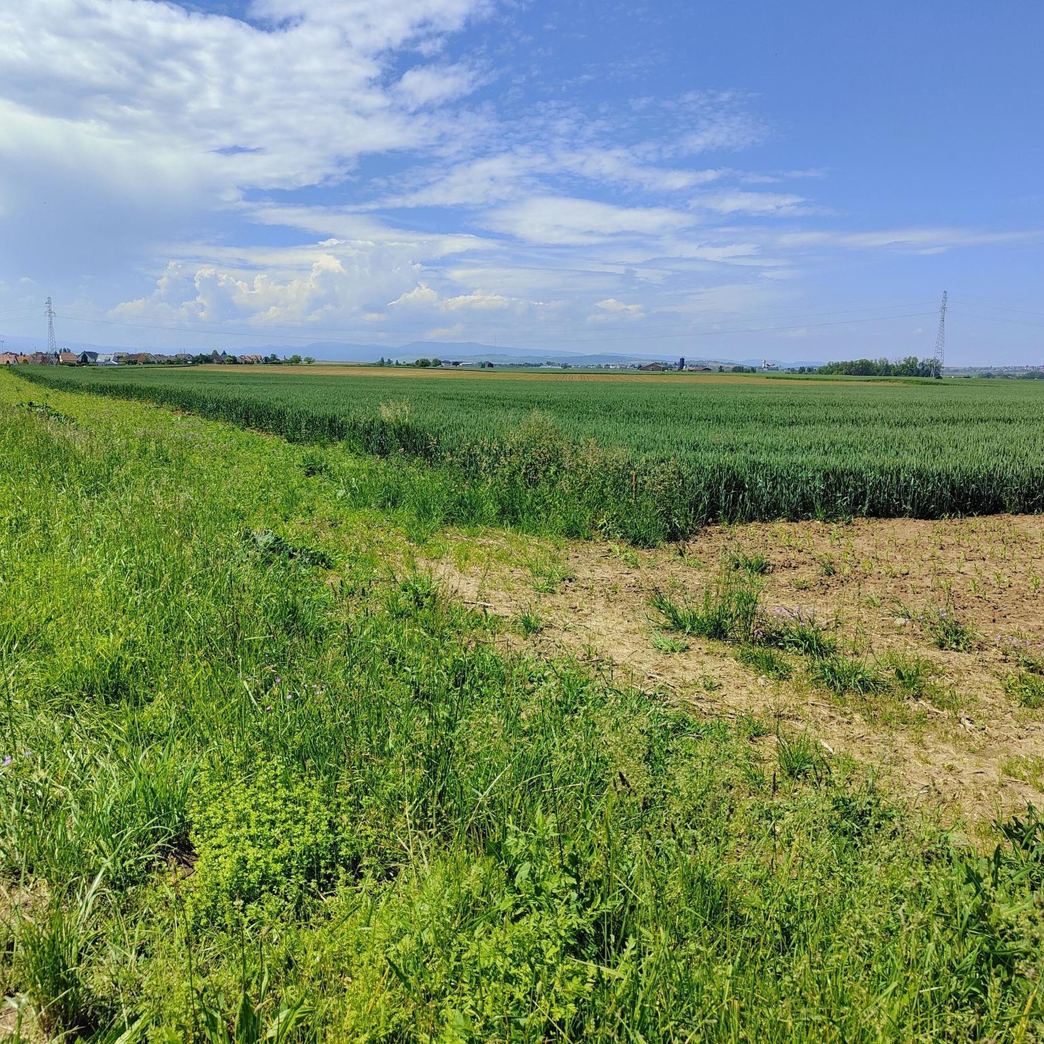
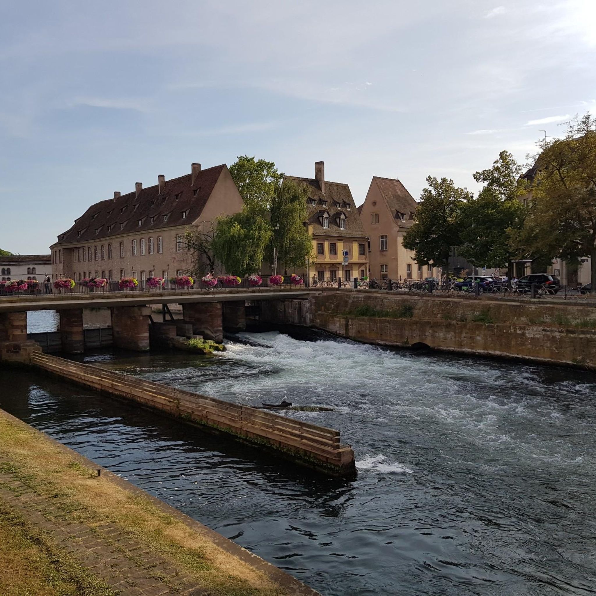
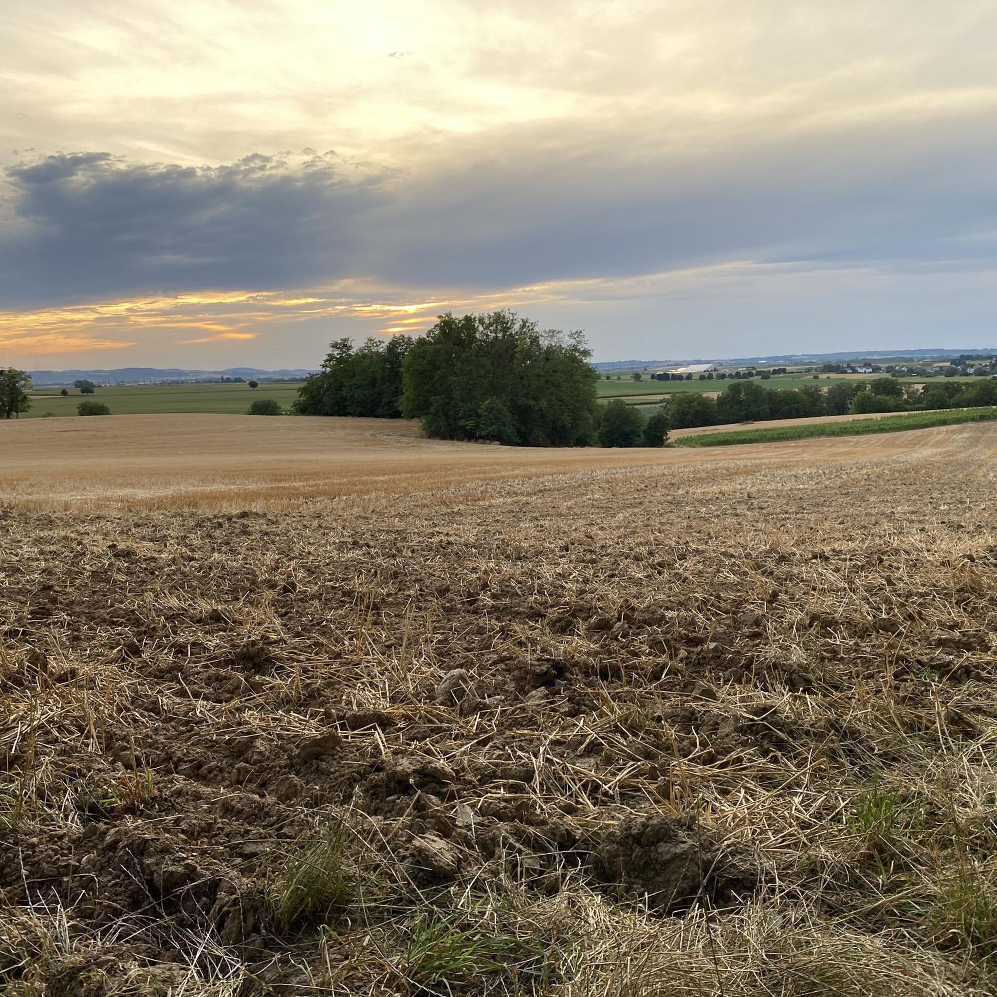
Tips from the Community


Fort currently being renovated, integrated into the Maginot Line, belonging to the fortified belt of Strasbourg
0
0

There are benches for a picnic
1
0

The site probably belongs to the University of Strasbourg and the site is under video surveillance.
4
0
One of several fortifications that line up here on the ridge. Unlike some others, this seems accessible here.
5
0
Former fort of Strasbourg city fortification. Although renamed into French, a white lettering still testifies to the German builders.
5
0

Built in the late 19th century as part of the fortification belt of Strasbourg. After 1945 renamed to a French resistance fighter. Limited opening hours, in summer, for example, every Sunday
6
0
Frequently Asked Questions
What kind of terrain can I expect on hikes around Dingsheim?
Hiking around Dingsheim offers a diverse landscape. You'll find cool forests, picturesque vineyards, and gentle hills. The region is situated near the Vosges Mountains, providing a backdrop of rounded summits and mysterious forests, while the Plain of Alsace offers geometric fields and winding waterways. Many routes also incorporate historical sites like the forts.
Are there hiking options for different fitness levels in Dingsheim?
Yes, Dingsheim provides a wide range of hiking options suitable for various fitness levels. Out of over 275 routes available, you'll find approximately 181 easy trails, 87 moderate routes, and 7 more challenging hikes, ensuring there's something for everyone.
What are some notable landmarks or historical sites I can see while hiking in Dingsheim?
The Dingsheim area is rich in history. A prominent feature is the 'Forts Trail', which passes through historic sites like Forts Ducrot, Frere, and Foch. These forts are part of a larger Franco-German 'Ring of Forts' around Strasbourg. You can explore routes like Fort Ducros loop from Dingsheim to experience these historical structures.
Are there any family-friendly hiking trails in Dingsheim?
Yes, many trails around Dingsheim are suitable for families. For an easy and scenic walk, consider the Oberhausbergen hill loop from Oberhausbergen. This 3.6-mile (5.8 km) trail leads through forested areas and open fields, typically taking about 1 hour 33 minutes to complete.
Can I find circular hiking routes in the Dingsheim area?
Absolutely. Many of the trails around Dingsheim are designed as circular routes, allowing you to start and end at the same point. An example is the Fort Ducros – Oberhausbergen hill loop from Dingsheim, which is a moderate 7.1-mile (11.5 km) loop passing by historical forts and local hills.
What do other hikers say about the trails in Dingsheim?
The hiking routes in Dingsheim are highly regarded by the komoot community, boasting an average rating of 4.5 stars from over 900 reviews. Hikers often praise the varied terrain, which combines cool forests, vineyards, and historical forts, as well as the well-maintained paths.
Are there any longer hiking routes for experienced hikers near Dingsheim?
While many routes are moderate, you can combine sections or explore the broader network. The Fort Ducros – Oberhausbergen hill loop from Dingsheim, at 7.1 miles (11.5 km), offers a good moderate challenge. The region's extensive network, including parts of the 85 km 'Ring of Forts', provides opportunities for longer excursions.
What kind of natural features or viewpoints can I expect to see?
The Dingsheim area offers scenic views of the surrounding countryside, including the gentle slopes of Oberhausbergen hill, and the unique mosaic of the Alsace Plain. The nearby Vosges Mountains provide dramatic backdrops. You'll also encounter cool forests and the distinctive landscape of Alsace vineyards.
Is public transport available to access hiking trails around Dingsheim?
While specific public transport links to trailheads are not detailed in our data, Dingsheim is located within the Grand Est region, which generally has good public transport infrastructure. We recommend checking local transport schedules for connections to Dingsheim and nearby villages like Oberhausbergen or Mittelhausbergen, which also serve as starting points for hikes.
What is the best time of year to go hiking in Dingsheim?
The Alsace region, where Dingsheim is located, transforms with the seasons. Spring and autumn are particularly pleasant for hiking, offering mild temperatures and beautiful scenery, from blooming vineyards to vibrant fall foliage. Summer is also suitable, especially in the cooler forest areas. For more general information on the region's nature and wellbeing, you can visit visit.alsace.
Are there any easy hiking trails for a relaxed walk?
Yes, if you're looking for an easy and relaxing walk, the Oberhausbergen hill loop from Dingsheim is a great choice. This 3.6-mile (5.8 km) path offers pleasant views of the surrounding countryside and gentle slopes, perfect for a leisurely stroll.
What are some attractions near Dingsheim that I could visit after a hike?
After your hike, you might consider visiting some of the nearby attractions. Strasbourg, with its magnificent Strasbourg Cathedral and the picturesque district of La Petite France, is easily accessible. Other notable sites include the Place du Château and the historic Covered Bridges.
Most popular routes around Dingsheim
Most popular attractions around Dingsheim

Get inspired with the komoot mobile app


Explore more
Browse the best Hikes in other regions.
