The best mountain hikes around Targassonne
4.6
(13)
56
hikers
12
hikes
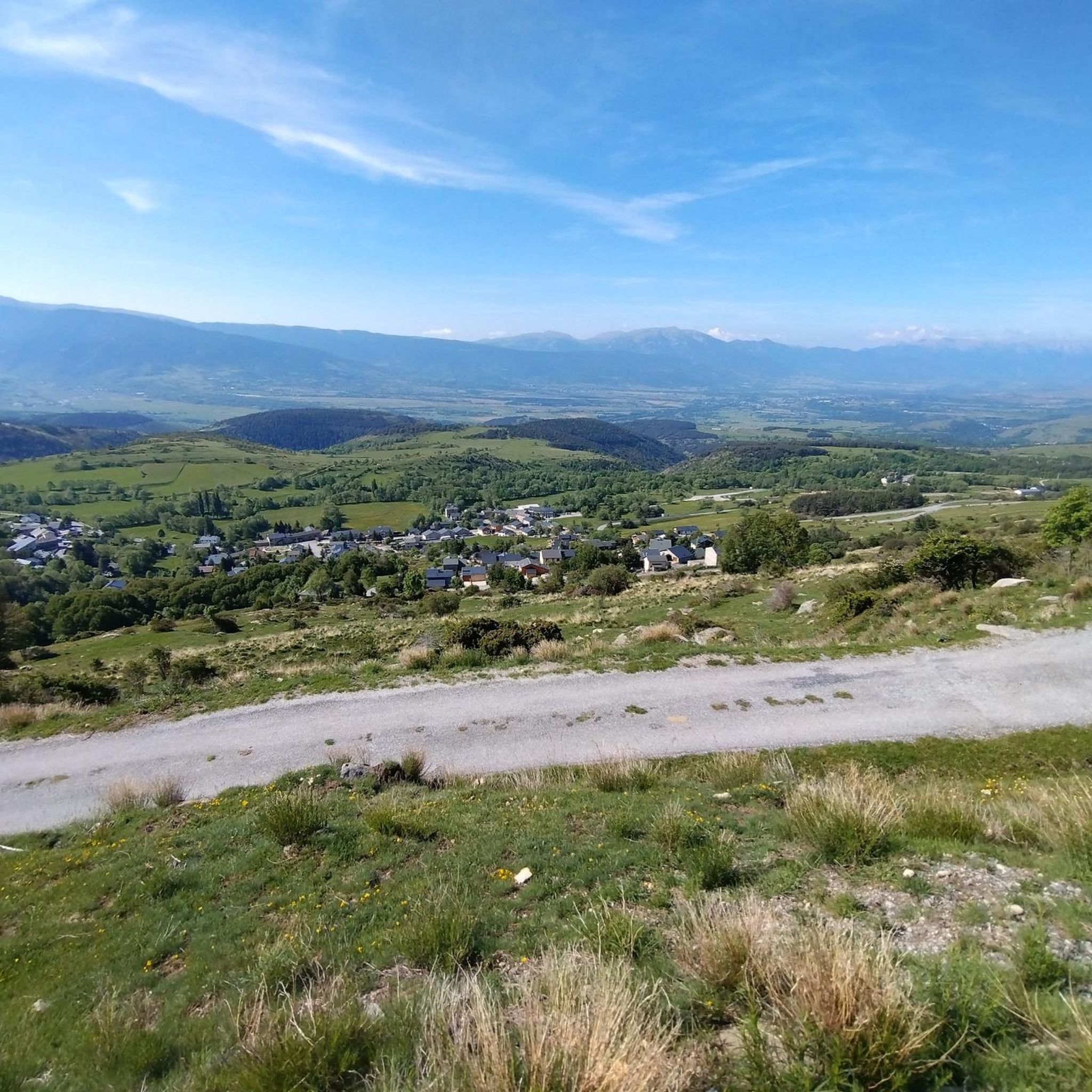
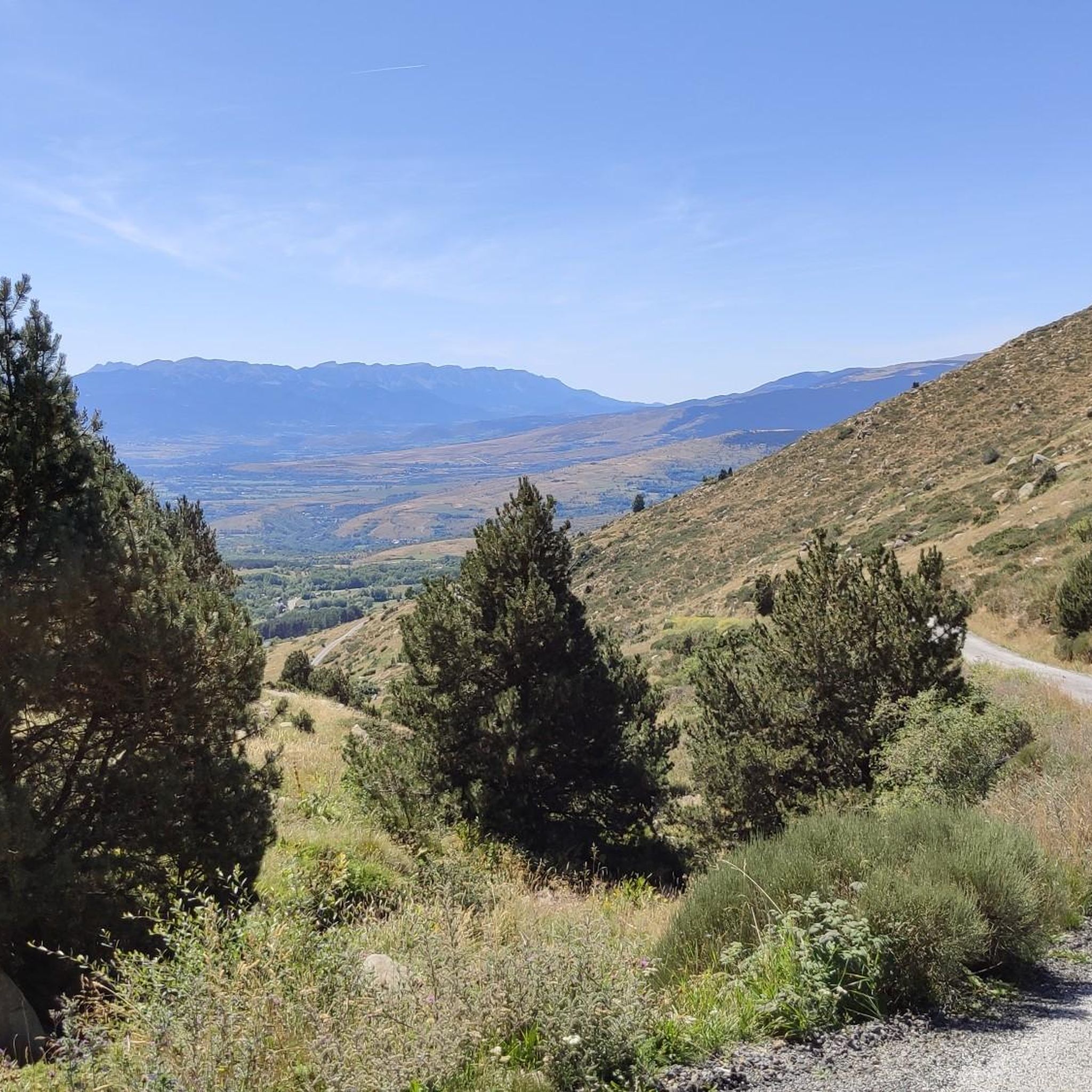
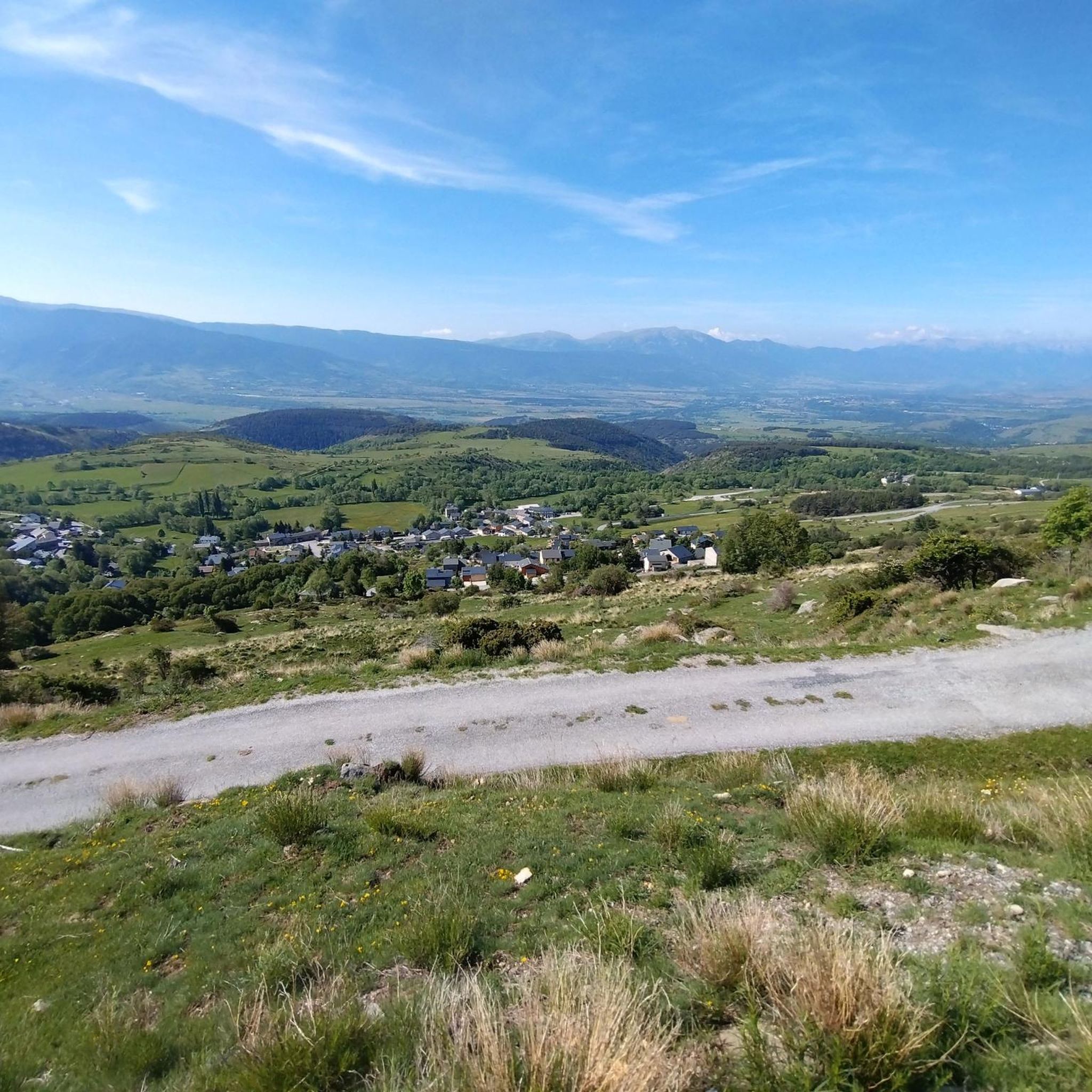
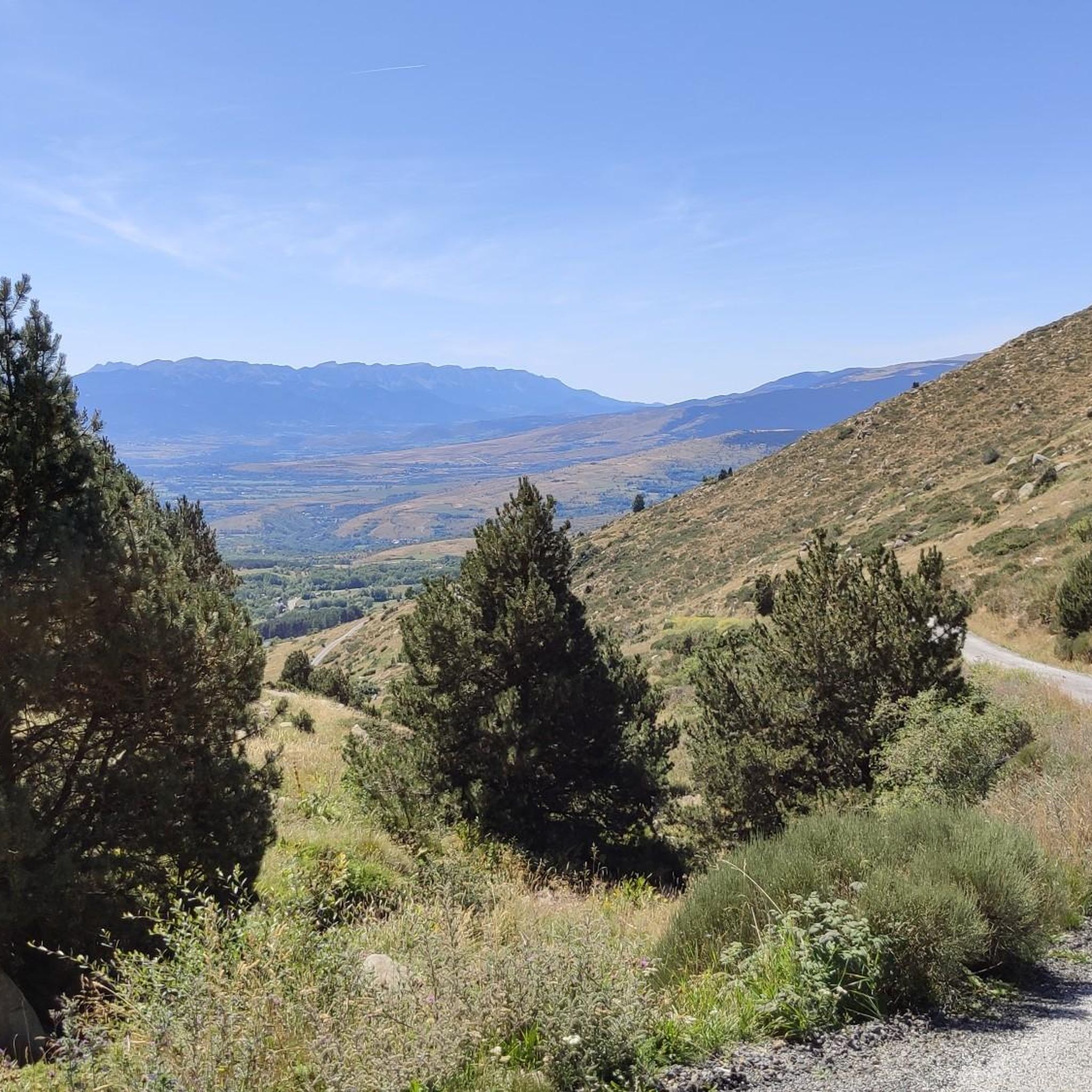
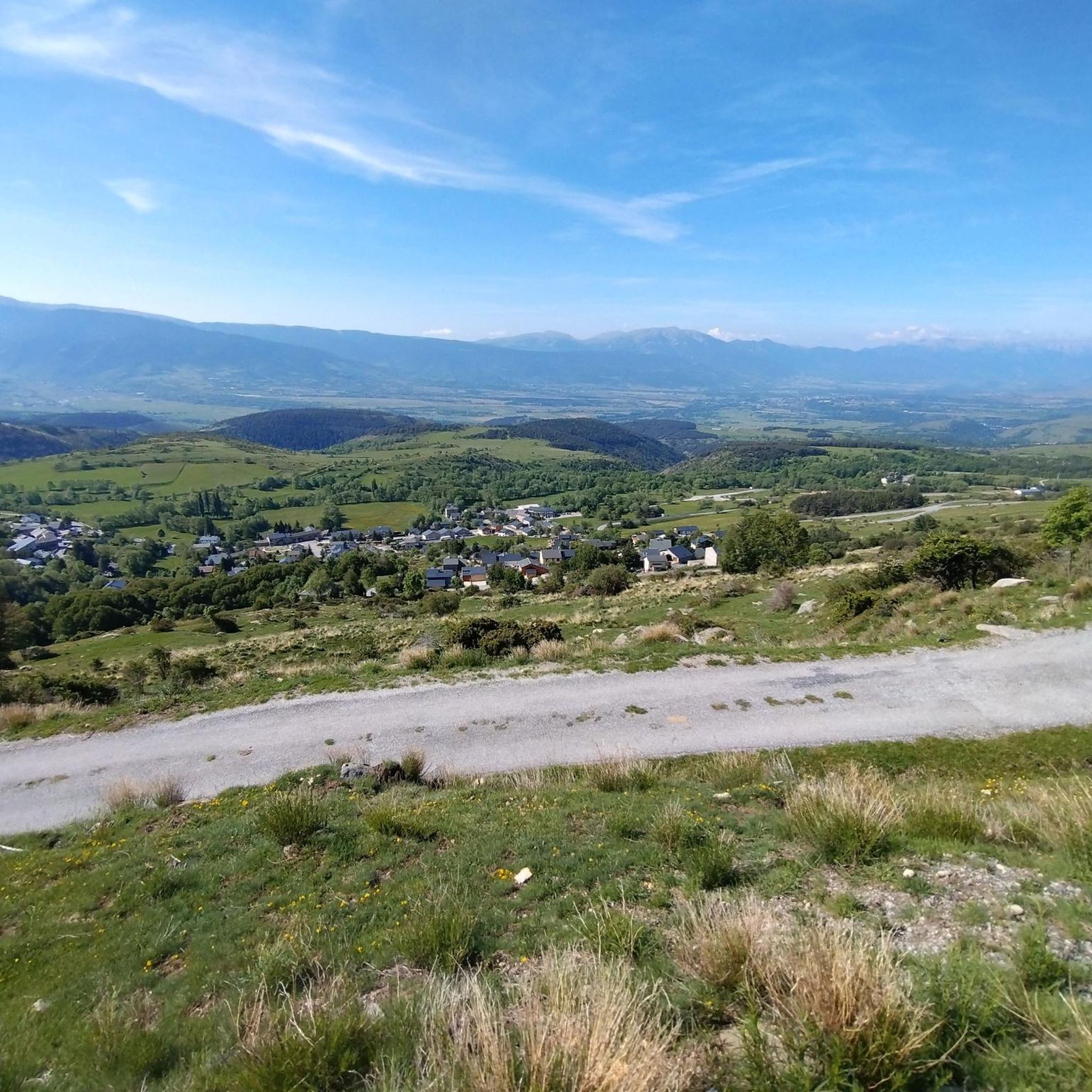
Mountaineering routes Targassonne are set within the French Pyrenees, characterized by extensive granite boulder fields, high-altitude lakes, and prominent peaks. The region's terrain includes green hills and thick forests, with elevations ranging from approximately 1500 to 1600 meters in the bouldering areas. Notable features include Lake Bouillouses at 2,016 meters and Pic Carlit, which reaches 2,921 meters, offering diverse mountaineering challenges.
Best mountaineering routes around Targassonne
- The most popular mountaineering route is Les Bones Hores Bar & Restaurant – Peak…
Last updated: July 1, 2026
5.0
(2)
9
hikers
8.03km
02:54
260m
260m
Moderate mountaineering route. Good fitness required. Mostly accessible paths. Sure-footedness required.
5.0
(1)
6
hikers
19.2km
08:34
1,270m
1,270m
Hard mountaineering route. Very good fitness required. Sure-footedness, sturdy shoes and alpine experience required.

Sign up for free
4.7
(3)
10
hikers
12.6km
04:34
370m
370m
Moderate mountaineering route. Good fitness required. Mostly accessible paths. Sure-footedness required.
3.0
(1)
3
hikers
5.45km
01:34
140m
140m
Easy mountaineering route. Great for any fitness level. Easily-accessible paths. Suitable for all skill levels.
5
hikers
11.1km
03:31
370m
370m
Hard mountaineering route. Good fitness required. Sure-footedness, sturdy shoes and alpine experience required.
Get access to more routes and recommendations from other explorers.
Sign up for free
Already have an account?
Our route recommendations are based on thousands of hikes, rides, and runs completed by other people on komoot.
Start today with a free account
Your next adventure awaits.
Login or Signup

Tips from the Community

The L'abri de la Jasse is an open hut that allows you to stop for the night, but also to take a break sheltered from the sun or rain. It is set in a magnificent, peaceful natural setting, in the middle of a clearing dotted with pine trees.
0
0

At the top but at the end the loop back on the left side at the level of the waterfall is not accessible in late spring because there is still too much snow, you will have to go through the other side.
0
0

A superb lake reflecting the neighboring peaks. The morning light amplifies this mirror effect.
0
0


Estany de la Pradella, also called the pond or lake of Pradeilles, is a beautiful mountain lake in the Pyrénées-Orientales. A superb setting for cycling in the heart of nature.
0
0

Nestled in a glacial basin, this small lake often lies dry in summer, revealing an impressive mineral setting, surrounded by meadows and imposing peaks. The trails leading to the lake offer magnificent views of the surrounding mountains and allow you to enjoy the tranquility of this timeless place.
1
0
This small high-altitude lake, accessible by hiking trails, offers a preserved natural setting, ideal for a contemplative break. The calm, crystal-clear waters reflect the surrounding peaks.
1
0
Frequently Asked Questions
How many mountaineering routes are available around Targassonne?
There are over 15 mountaineering routes around Targassonne, offering a variety of challenges across the French Pyrenees. These routes range from easy walks to difficult ascents, catering to different skill levels.
What kind of terrain can I expect on mountaineering routes in Targassonne?
Mountaineering routes in Targassonne traverse diverse terrain, from extensive granite boulder fields and green hills to thick forests and high-altitude lake country. You'll encounter prominent peaks like Pic Carlit and Mount Llaret, with elevations ranging from approximately 1500 to nearly 3000 meters, offering varied landscapes and challenges.
Are there any easy or family-friendly mountaineering routes in Targassonne?
Yes, Targassonne offers several easier options suitable for families or those seeking a less strenuous experience. For instance, the route Dolmen de lo Pou – Dolmen d'Els Pascarets loop from Eyne is rated as easy and covers about 5.5 km. Another moderate option is the Lac de la Coumasse – View of the lakes loop from Lac des Bouillouses, which is around 8 km and leads through beautiful high-altitude lake country.
What are some of the natural landmarks or attractions I can see along the mountaineering routes?
The region is rich in natural beauty. Many routes offer views of or pass by significant landmarks such as Lake Bouillouses, a large high-altitude lake, and the majestic Summit of Pic Carlit, which provides extensive panoramas. You might also encounter other picturesque lakes like Lake Aude and Viver Lake, or mountain passes like Col de la Perche.
Are there any circular mountaineering routes around Targassonne?
Yes, several routes in the area are circular, allowing you to start and end at the same point. A popular example is the challenging Les Bones Hores Bar & Restaurant – Peak Carlit loop from Lac des Bouillouses, which offers expansive views. Another option is the Lake Aude – Lake Bouillousses loop from Pla des Avellans, a difficult 16.8 km route.
What is the best time of year for mountaineering in Targassonne?
The spring and autumn months generally offer the most pleasant conditions for mountaineering in Targassonne, with comfortable temperatures and stable weather. While summer is also possible, shaded sectors are recommended for bouldering, and higher elevations can be refreshing. Winters can provide excellent grip for climbing due to the cold, but require appropriate gear and experience for mountaineering in snowy conditions.
Can I bring my dog on the mountaineering trails in Targassonne?
Many trails in the French Pyrenees are dog-friendly, but it's always advisable to check specific regulations for national parks or protected areas you might enter. Generally, dogs are welcome on leash, especially on less crowded routes. Ensure your dog is fit for the terrain and carry enough water for both of you.
What do other mountaineers enjoy most about the routes in Targassonne?
The mountaineering routes around Targassonne are highly rated by the komoot community, with an average score of 4.7 stars. Reviewers often praise the stunning Pyrenean landscapes, the diverse challenges offered by the granite terrain, and the rewarding views from peaks like Pic Carlit. The high-altitude lakes are also frequently highlighted as beautiful points of interest.
Are there options for advanced mountaineers seeking a challenge?
Absolutely. Targassonne is known for its challenging terrain, especially around prominent peaks. Routes like Les Bones Hores Bar & Restaurant – Peak Carlit loop from Pla des Avellans, a difficult 24.4 km path with significant elevation gain, are perfect for experienced mountaineers looking for a demanding adventure. The region's granite boulder fields also offer world-class bouldering problems up to Fb8b+.
Is public transport available to reach the mountaineering trailheads?
While specific public transport options directly to all trailheads might be limited, the region around Targassonne and nearby Font-Romeu does have some public transport connections. It's recommended to research local bus services or consider carpooling to reach more remote starting points, especially for routes originating from areas like Lac des Bouillouses or Pla des Avellans.
Where can I find parking for mountaineering routes near Targassonne?
Parking is typically available near popular starting points for mountaineering routes, such as Lac des Bouillouses or Pla des Avellans. These areas often have designated parking lots, though they can fill up quickly during peak season. Always check for any parking fees or restrictions before your visit.
Are there any specific permits required for mountaineering or climbing in the Targassonne area?
For general mountaineering and hiking on established trails, permits are typically not required. However, if you plan to engage in specific climbing activities, especially bouldering in areas like The Chaos of Targasonne, or if you venture into protected natural reserves, it's always wise to check with local authorities or park management for any specific regulations or permits that might be in place.
Most popular routes around Targassonne
Most popular attractions around Targassonne

Get inspired with the komoot mobile app


Explore more
Browse the best Mountain Hikes & Routes in other regions.
