The best mountain hikes around Saint-Chaffrey
4.8
(19)
162
hikers
16
hikes
Mountaineering around Saint-Chaffrey offers a diverse landscape within the Serre Chevalier valley, characterized by high alpine peaks, deep valleys, and varied terrain. The region features significant elevation changes, providing challenging ascents and panoramic views across the French Alps. This area is known for its rugged mountain environment, with routes often traversing rocky paths and open slopes.
Best mountaineering routes around Saint-Chaffrey
- The most popular mountaineering route is The Lake loop from Chambran, a 7.0 miles (11.2 km) difficult trail…
Last updated: August 11, 2026
17
hikers
16.0km
06:14
840m
840m
Hard mountaineering route. Very good fitness required. Mostly accessible paths. Sure-footedness required.
5.0
(2)
5
hikers
5.31km
01:45
160m
160m
Moderate mountaineering route. Great for any fitness level. Mostly accessible paths. Sure-footedness required.

Sign up for free
5.0
(1)
6
hikers
8.97km
03:12
490m
490m
Moderate mountaineering route. Good fitness required. Mostly accessible paths. Sure-footedness required.
4.0
(1)
7
hikers
18.2km
06:54
1,020m
1,020m
Hard mountaineering route. Very good fitness required. Mostly accessible paths. Sure-footedness required.
4.5
(2)
5
hikers
13.3km
05:38
810m
810m
Hard mountaineering route. Very good fitness required. Mostly accessible paths. Sure-footedness required.
Get access to more routes and recommendations from other explorers.
Sign up for free
Already have an account?
Our route recommendations are based on thousands of hikes, rides, and runs completed by other people on komoot.
Start today with a free account
Your next adventure awaits.
Login or Signup
Popular around Saint-Chaffrey
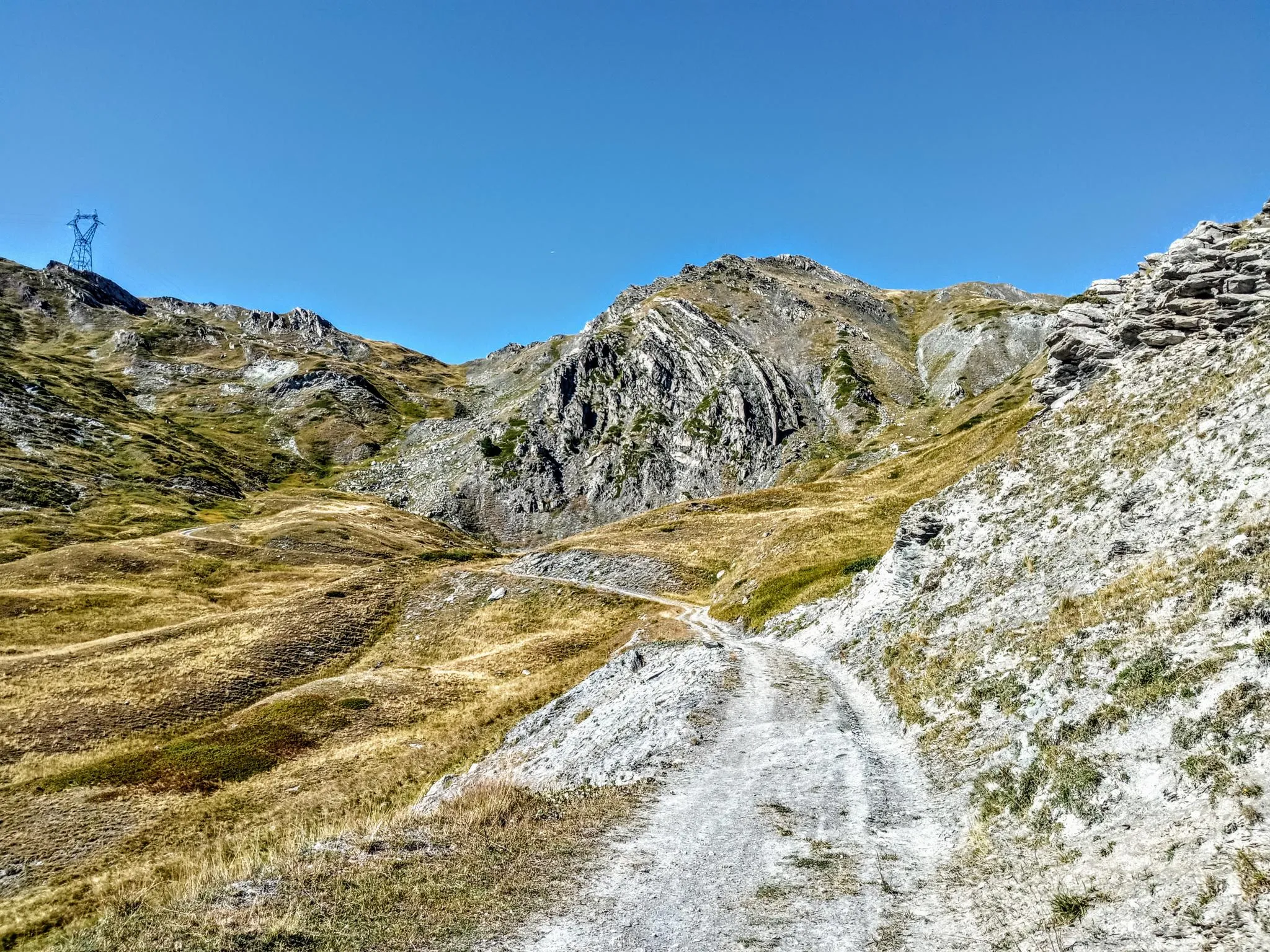
Between valleys and peaks – Ultra Gravel Tour des Alpes
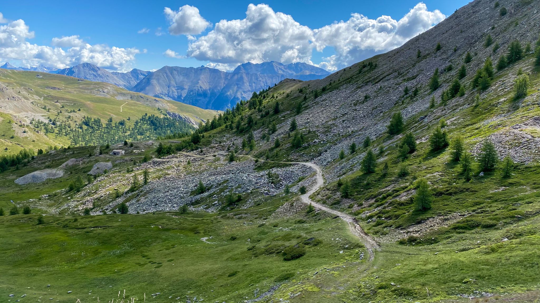
Sublime Alpine gravel rides in the Serre Chevalier Valley
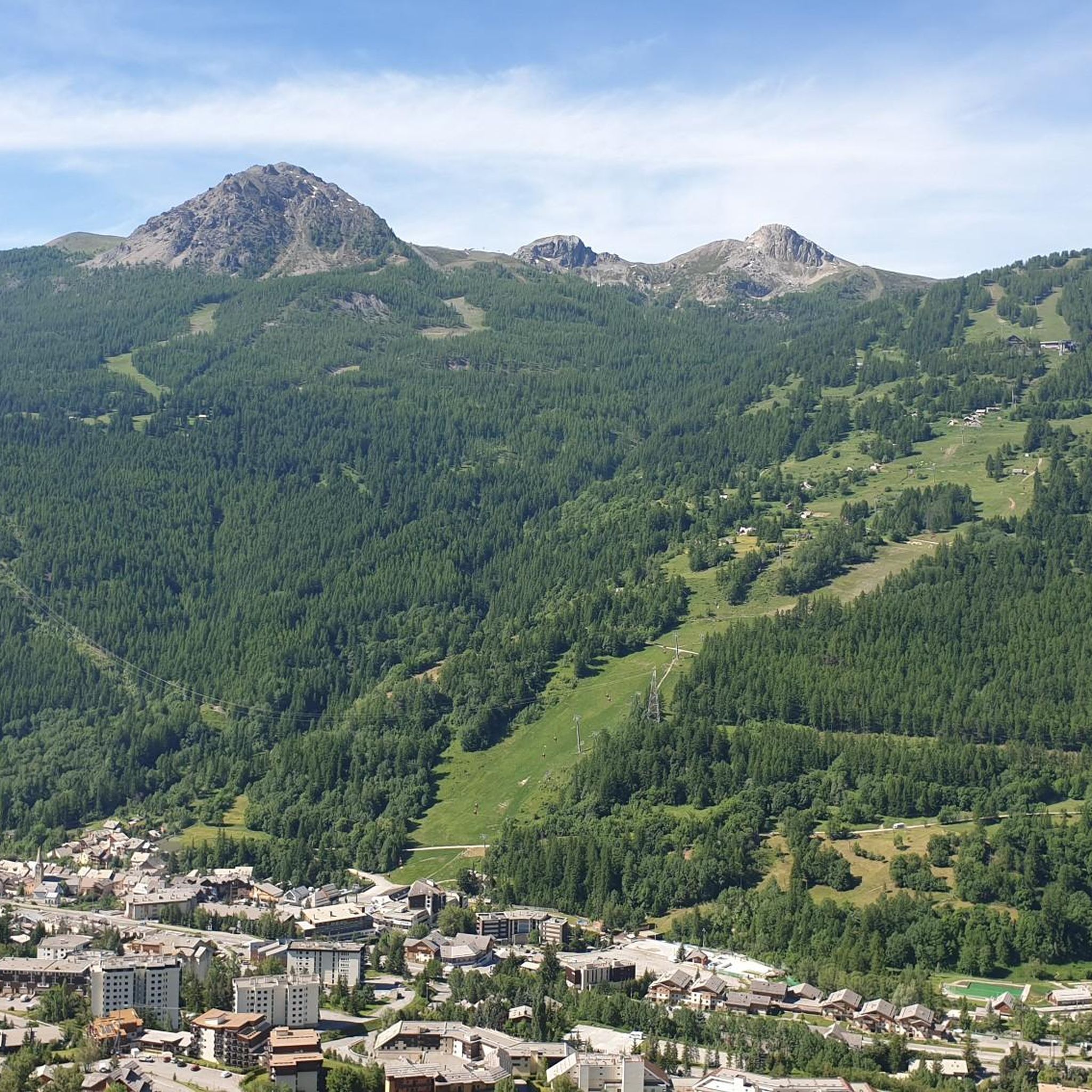
Road Cycling Routes around Saint-Chaffrey
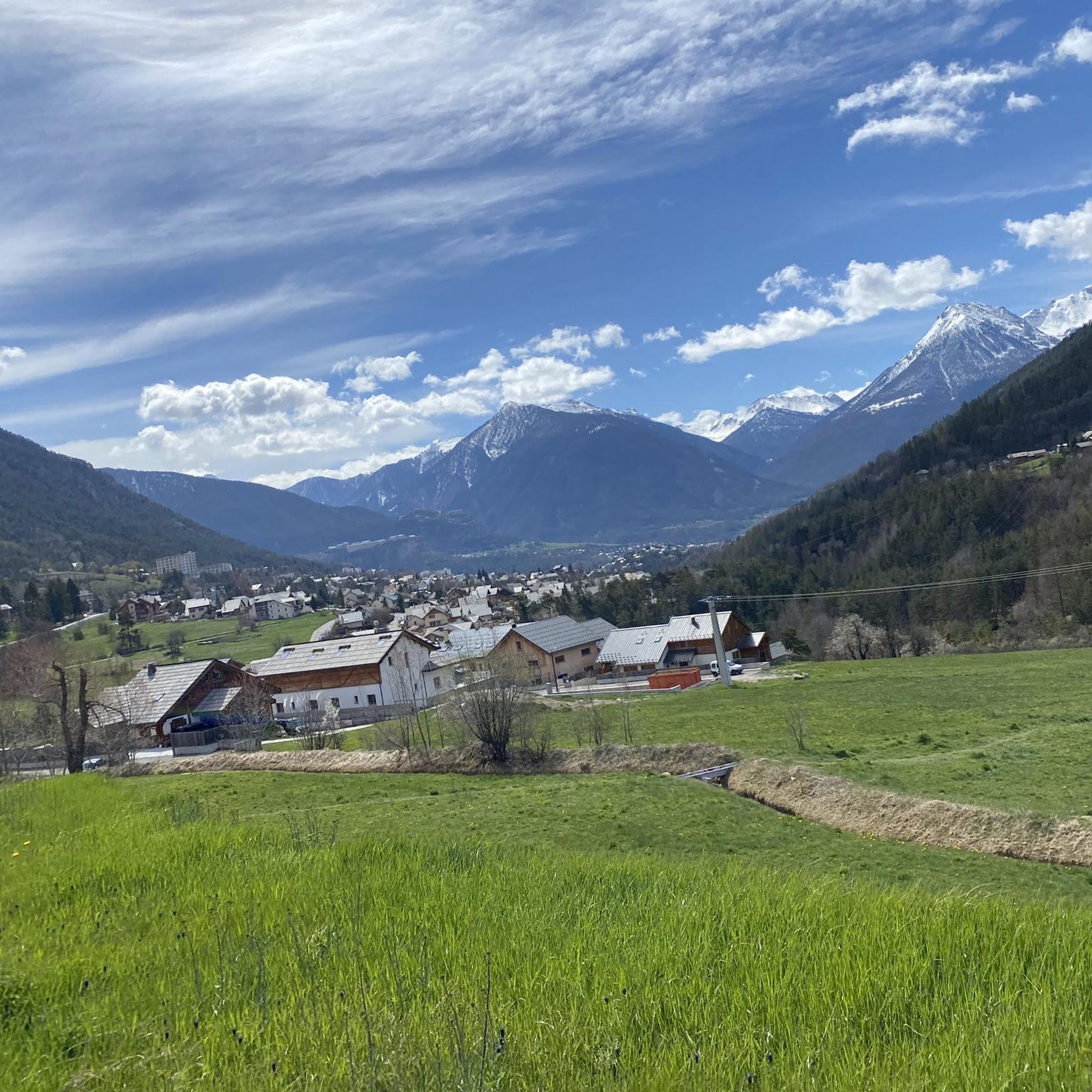
Hiking around Saint-Chaffrey

Gravel biking around Saint-Chaffrey
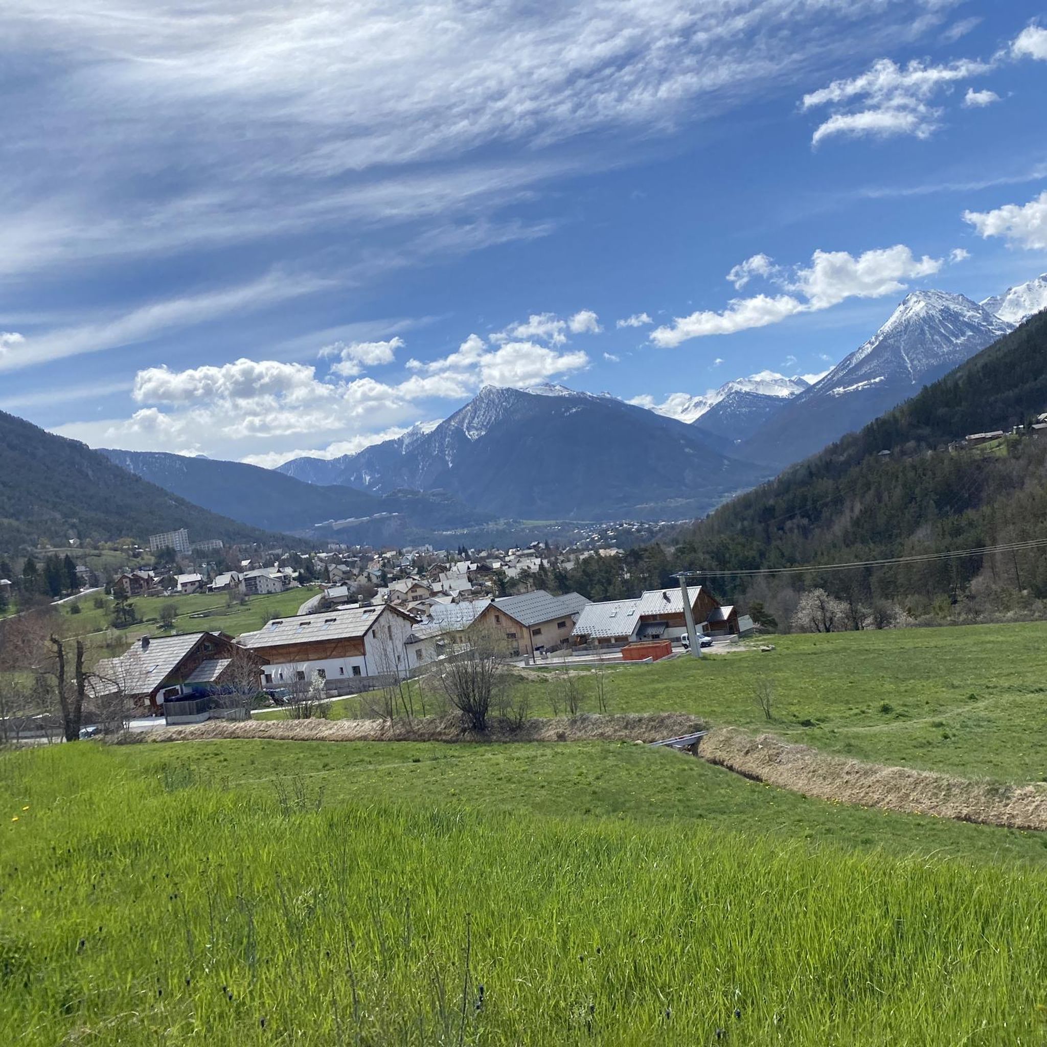
Cycling around Saint-Chaffrey
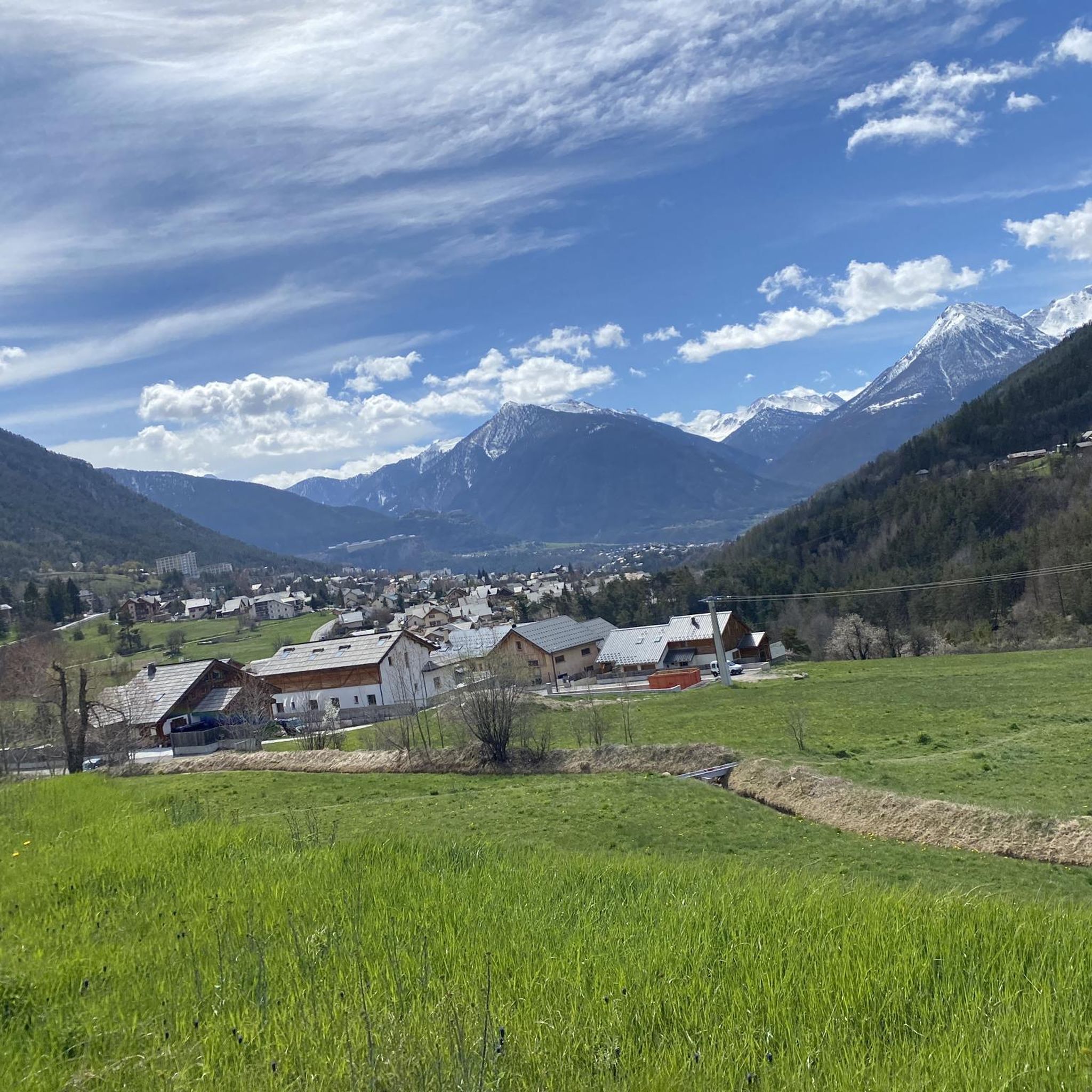
MTB Trails around Saint-Chaffrey
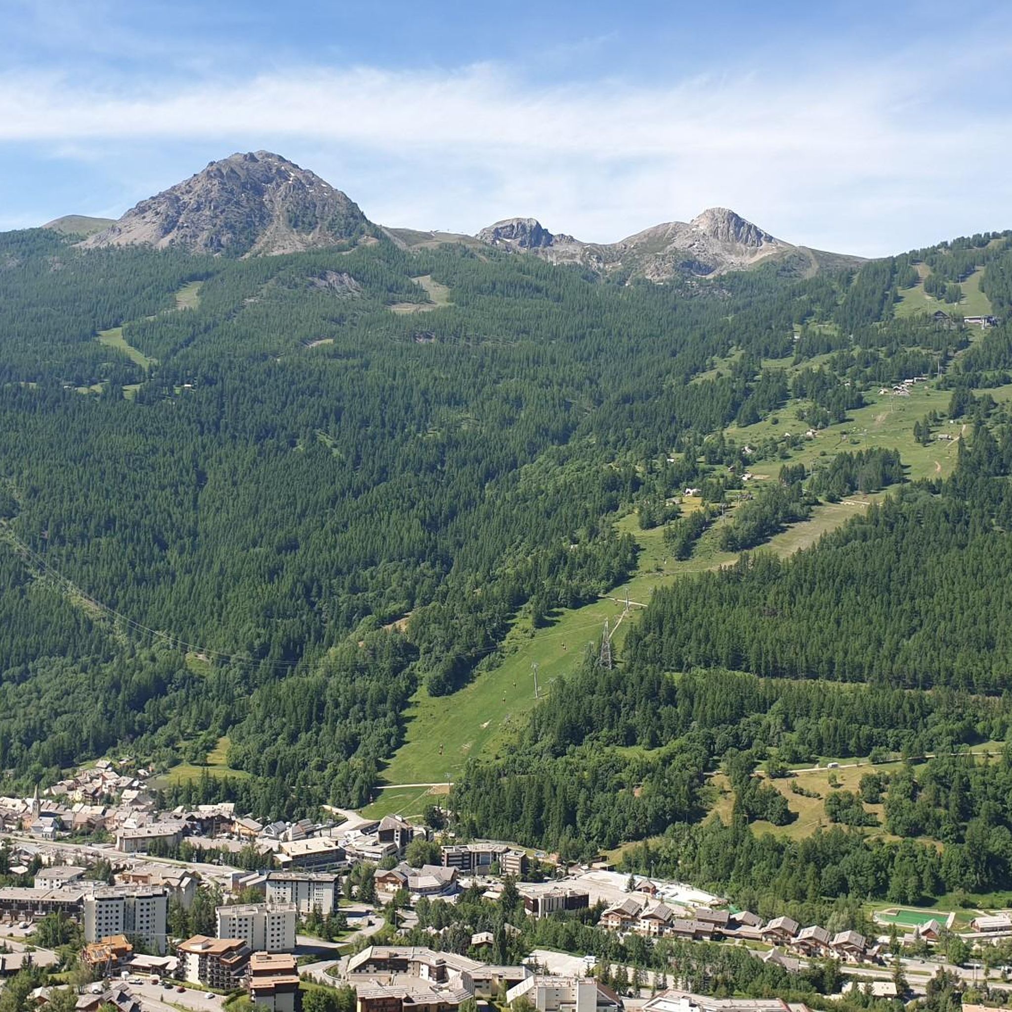
Running Trails around Saint-Chaffrey


Tips from the Community

A walk of less than an hour leads from Col Granon to this wide saddle, which offers beautiful views of the Bardonecchia basin and the Nevache valley. The ascent can also be done by MTB, although with the route I took, you can better utilize both the very gradual ascent and the beautiful traverse between the Col de Cibieres and the Col de l'Oule. Except for very short sections of exposed rock, this traverse is accessible to anyone, and the descent towards the Col Granon is very fun. It is also worth, after descending almost to the road, leaving the normal descent path and taking the scenic single track visible on the right, practically flat, which arrives a short distance from the Col Granon refuge.
0
0

A very charming mountain village in the expansive natural surroundings of the upper Vallee Claree
0
0

It's the first thing you notice, even from afar, when you arrive at Monginevro
0
1


https://youtu.be/_XngZJ_PL2Y?si=LbELjPjkioAoMLl7 It's not that difficult to reach from Fouillouse, but the view is amazing and worth it. A great descent.
0
0

Entrance to the village of Monginevro from the Italian side. Note the Napoleonic obelisk and a statue of three soldiers supporting a ski-jumping officer (surreal).
0
0
Alpine watershed between the Dora and Durance valleys, and a historic crossing point between Italy and France.
0
0

Beautiful village in the Clarée valley.
15
0
Frequently Asked Questions
What is the overall difficulty level of mountaineering routes around Saint-Chaffrey?
Mountaineering around Saint-Chaffrey is predominantly challenging. The region features significant elevation changes and rugged terrain, with 16 out of 20 routes classified as difficult. There are also 4 moderate routes available for those seeking less intense ascents.
Are there any moderate mountaineering routes suitable for less experienced climbers in Saint-Chaffrey?
Yes, while most routes are difficult, there are 4 moderate mountaineering routes available. One such option is the Col du Granon (2,413 m) – Col du Granon summit loop from Col de Granon, which offers a rewarding experience without the extreme demands of the most difficult trails.
What kind of terrain can I expect on mountaineering routes in the Saint-Chaffrey area?
You can expect a rugged mountain environment characterized by high alpine peaks, deep valleys, and varied terrain. Routes often traverse rocky paths and open slopes, providing challenging ascents and panoramic views across the French Alps.
Are there any circular mountaineering routes around Saint-Chaffrey?
Yes, several routes are designed as loops. For example, you can explore The Lake loop from Chambran, which offers alpine lake views, or the Bassin de Montgenèvre – Grand Charvia / Monte Gimont loop from Claviere, featuring high mountain passes.
What are some notable landmarks or attractions I can see near the mountaineering routes?
The region offers several interesting sights. You can find historical sites like the Mont Chaberton Fort, or natural viewpoints such as The Eagle Rock - il Colletto Verde. The Col du Granon (2,413 m) is also a significant mountain pass.
Are there any gorges or valleys worth exploring in the Saint-Chaffrey region?
Absolutely. The area is home to beautiful natural features like the Clarée Valley and the Chambran Valley. You might also encounter impressive structures like the Pont d'Asfeld or the Tibetan Bridge of Cesana Claviere.
What do other mountaineers say about the routes in Saint-Chaffrey?
The mountaineering routes in Saint-Chaffrey are highly regarded by the komoot community, with an average rating of 4.8 stars from over 30 reviews. Mountaineers often praise the challenging ascents, panoramic views, and the diverse alpine landscape.
How many mountaineering routes are available in total around Saint-Chaffrey?
There are 20 distinct mountaineering routes available around Saint-Chaffrey, offering a wide range of options for exploring the high alpine environment.
Are there any long-distance mountaineering options in the area?
Yes, for those seeking longer excursions, routes like Le Janus – Sommet des Anges loop from Montgenèvre cover over 17 kilometers and involve significant elevation gain, providing a full day's adventure.
Is it possible to find mountaineering routes that start from Névache?
Yes, there is a Mountaineering loop from Névache. This moderate route covers nearly 9 kilometers and offers a great way to experience the region's alpine scenery starting from Névache.
What is the best season for mountaineering in Saint-Chaffrey?
The best season for mountaineering in Saint-Chaffrey is typically from late spring to early autumn (June to September) when the snow has melted from higher elevations and weather conditions are generally more stable. Always check local weather forecasts and trail conditions before heading out, as alpine weather can change rapidly.
Most popular routes around Saint-Chaffrey
Most popular attractions around Saint-Chaffrey

Get inspired with the komoot mobile app


Explore more
Browse the best Mountain Hikes & Routes in other regions.
