The best road cycling routes around Nahuja
4.3
(157)
14,636
riders
102
rides
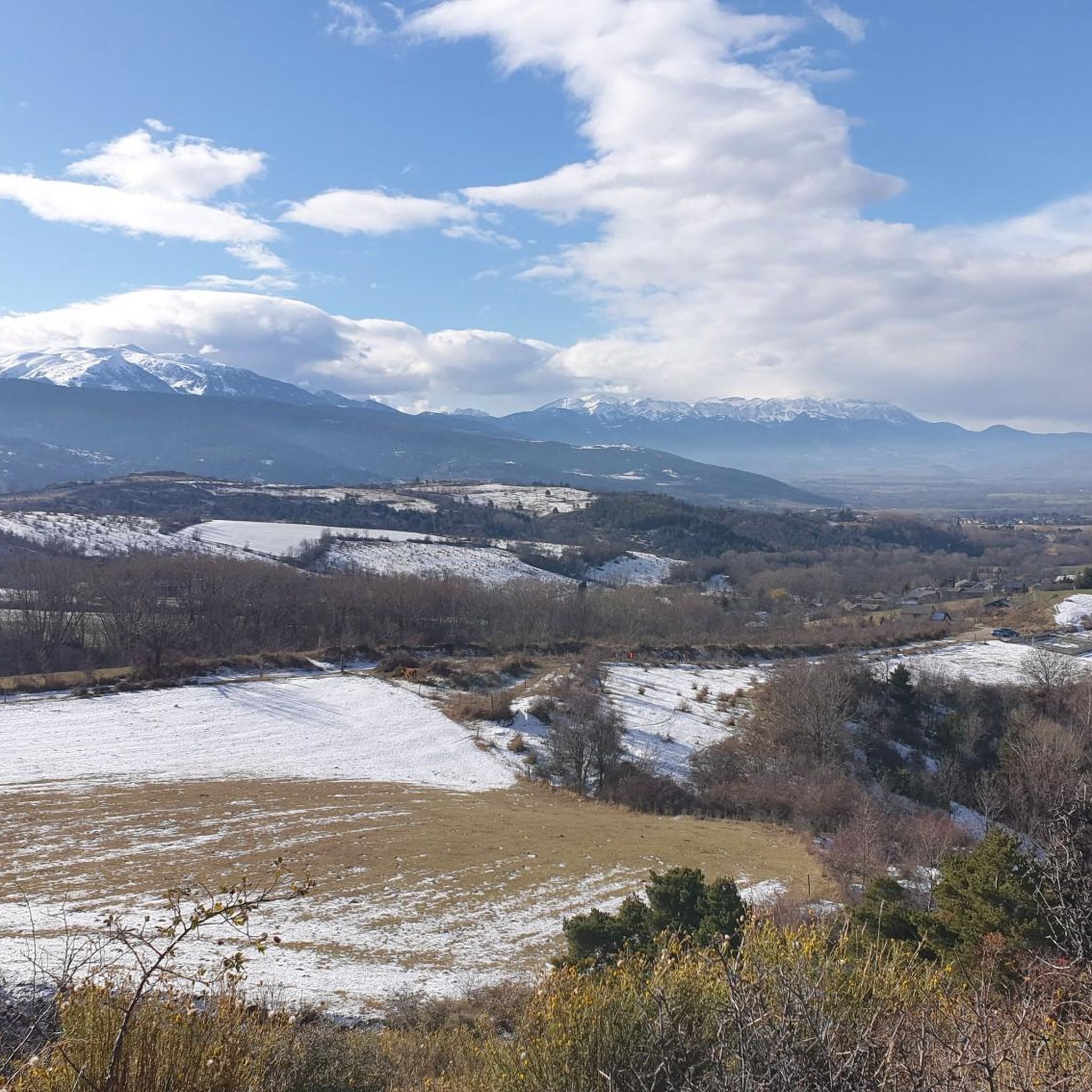
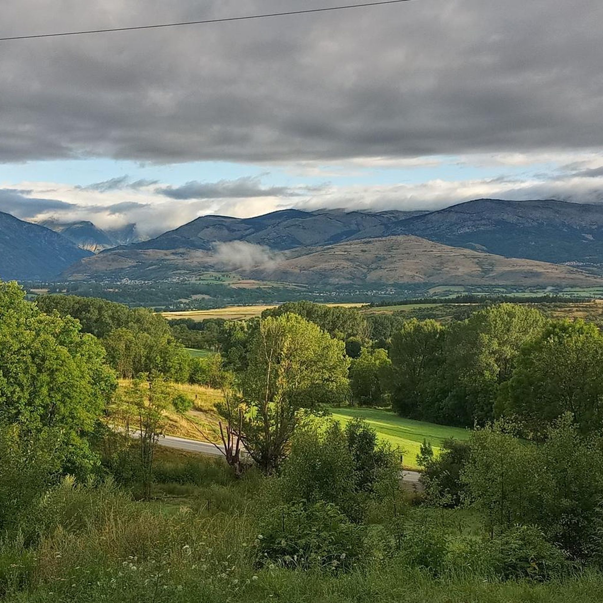
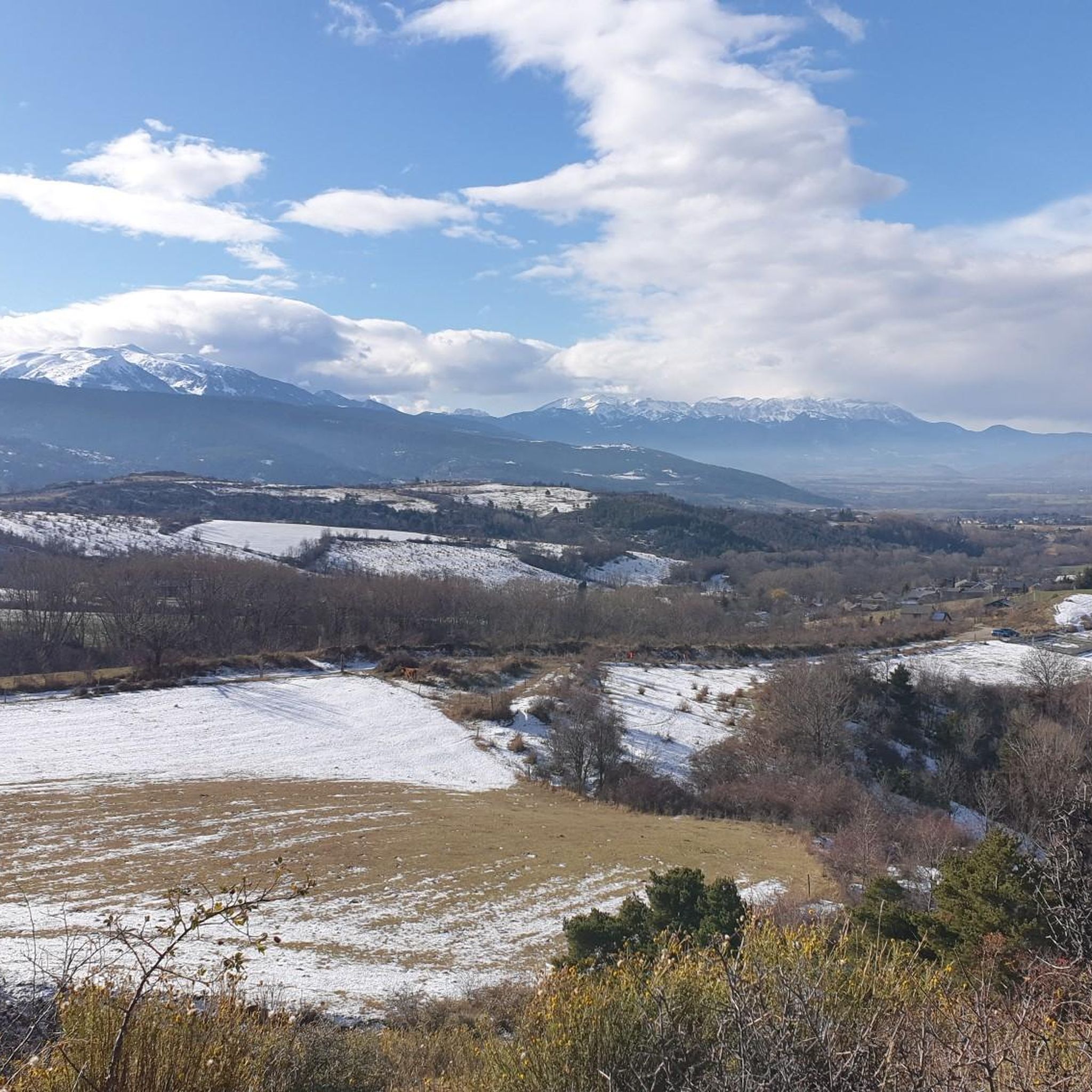
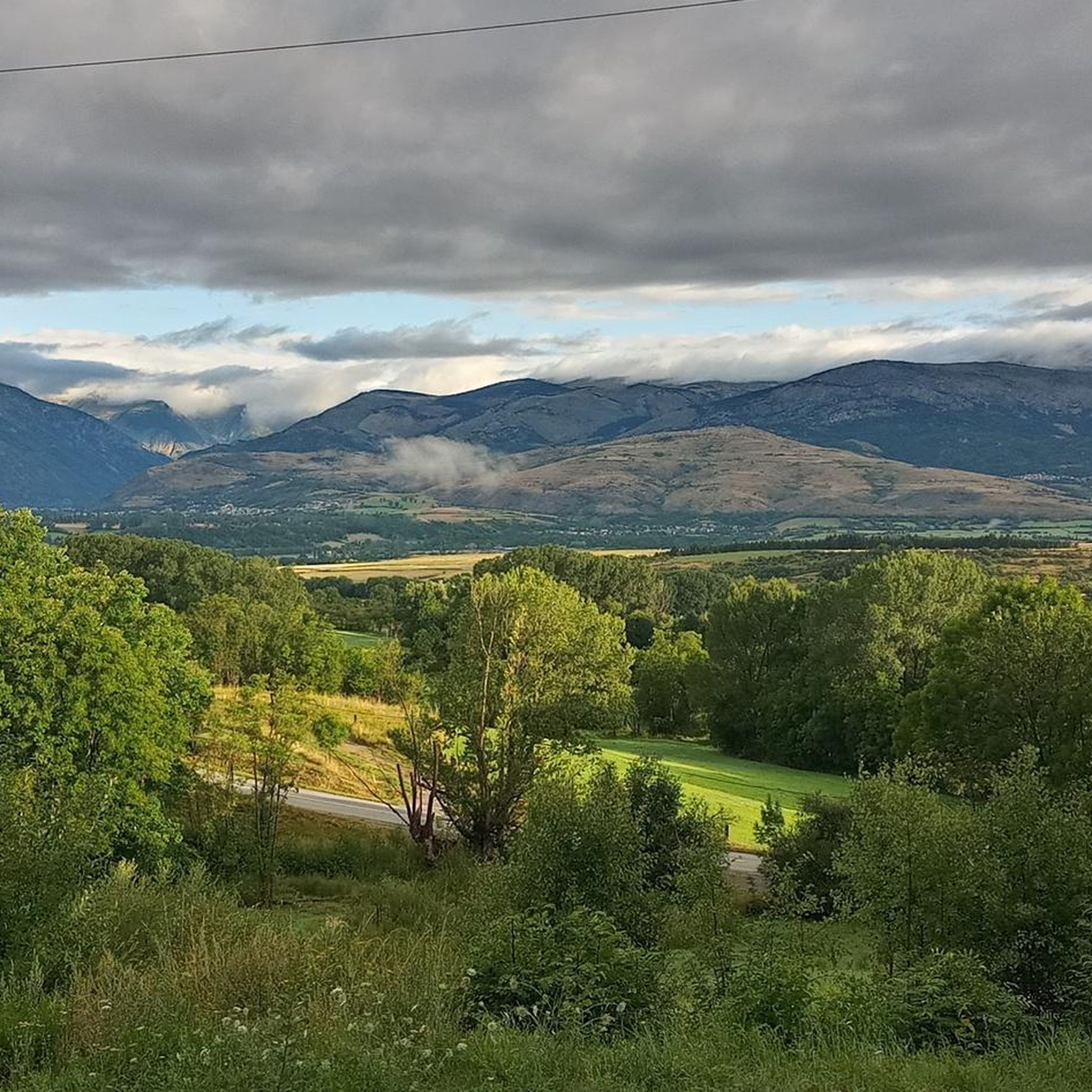
Road cycling around Nahuja, located in the Cerdanya region of the eastern Pyrenees, offers diverse landscapes for cyclists. The area is characterized by the Pyrenees Mountains, featuring mountain passes, verdant valleys, and expansive fields. This region provides varied terrain, from challenging ascents to serene stretches through picturesque villages. It benefits from a high annual amount of sunshine, making it suitable for outdoor activities.
Best road cycling routes around Nahuja
- The most popular road cycling route is Backside of Envalira –…
Last updated: July 15, 2026
5.0
(1)
148
riders
54.0km
02:28
580m
580m
Moderate road ride. Good fitness required. Some segments of this route may be unpaved and difficult to ride.
4.3
(3)
89
riders
49.2km
02:24
710m
710m
Moderate road ride. Good fitness required. Mostly well-paved surfaces and easy to ride.

Sign up for free
4.5
(2)
80
riders
34.5km
02:18
980m
980m
Hard road ride. Very good fitness required. Mostly well-paved surfaces and easy to ride.
4.5
(2)
84
riders
38.7km
02:02
670m
670m
Moderate road ride. Good fitness required. Mostly well-paved surfaces and easy to ride.
4.0
(4)
194
riders
61.0km
03:13
1,110m
1,110m
Hard road ride. Very good fitness required. Mostly well-paved surfaces and easy to ride.
Get access to more routes and recommendations from other explorers.
Sign up for free
Already have an account?
Our route recommendations are based on thousands of hikes, rides, and runs completed by other people on komoot.
Start today with a free account
Your next adventure awaits.
Login or Signup


Tips from the Community

Amb unes instal·lacions modernes i competitives, han esdevingut grans centres d’oci i d’esports de muntanya situats al bell mig d’un paisatge d’extraordinària bellesa. Per a més informació: https://costabrava.org/experiencia/gaudeix-dun-dia-desqui-i-diversio-a-la-molina/
0
0

A drinking water tap, near the village school, always available 365/24
1
0

Telephone box at the disused Puigmal ski resort and the Puigmal Cotze Refuge
0
0

This is an old road leading up to the Puigmal ski resort from the village of Err. For many years, this road was abandoned until it was resurfaced in 2023. The result is a narrow, perfectly maintained road that takes us from Err to the Cotzé area, where the first remotes of the old ski resort are located, and where it connects with the main climb from St. Leocadie. This section is approximately 5 km at 8.5% uneven terrain, combining steep slopes with rest areas. It traces three beautiful hairpin bends, one of which offers wonderful panoramic views of the French Cerdanya.
0
0
It is a beautiful chapel next to the town of Bolvir, which in turn is next to one of the best hotels in Spanish Cerdanya. This chapel marks the beginning of one of the 2 variants (the hardest, along a narrow but in perfect condition road) to reach Guils, and later to the Guils - Fontanera cross-country ski resort.
1
0

Mountain pass where the last 7km are closed to traffic, the feeling of pedaling through there with such silence and calm is that of almost hiking at high altitudes. The paved summit is 2204m.
0
0

Rural road that allows you to go from Bolvir de Cerdanya, entering from the Pirinenc Axis, following the old road from Talltorta to Bolvir, to Alpí on the c162 road.
0
0
You can access the Masella ski resort through 3 different areas: - Pla de Masella, the main area, where several businesses, bars and hotels are located. - Coma Oriola, the most remote access, which is reached once you have overcome Pla de Masella and after overcoming 7 more km of ascent. He has a small business, only open during the winter months, when the ski resort is open. In summer, there is nothing... only tranquility!!!! - La Pía, an area with a large parking lot and which, like Coma-Oriola, does not have any type of service in summer. La Pía is close to crowning the Collada de Toses and on the route to the Collada de la Creueta. My advice for visiting La Masella by bicycle is without a doubt to go up to Coma Oriola and descend to Pla de Masella to have a drink.
0
0
Frequently Asked Questions
How many road cycling routes are available around Nahuja?
There are over 95 road cycling routes around Nahuja, offering a wide range of options for different skill levels and preferences. The komoot community has explored more than 14,000 of these routes.
What kind of terrain can I expect on road cycling routes near Nahuja?
The terrain around Nahuja is highly diverse, ranging from challenging mountain passes with significant elevation gains to serene stretches through picturesque valleys and quiet secondary roads. You'll encounter the majestic Pyrenees Mountains, verdant valleys, and expansive fields, with well-paved surfaces ensuring a smooth riding experience.
Are there road cycling routes suitable for beginners or families in Nahuja?
Yes, Nahuja offers routes suitable for all levels, including easier options. While specific family-friendly routes are not detailed, the region provides a comprehensive network with 15 easy routes and 54 moderate routes, allowing for more leisurely rides through scenic areas like those around Lake Matemale or along the Segre river.
What are some challenging road cycling routes for experienced riders?
For experienced riders seeking a challenge, Nahuja boasts 26 difficult routes. Notable climbs include the Backside of Envalira – Puymorens Pass loop from Err, a 94.9-mile route with over 3,200 meters of elevation gain, and the Planoles Village – Collada de Toses Pass loop from Bourg-Madame, which features over 1,800 meters of ascent. The region is also known for climbs like the Col de Banyuls and the Col de Jau.
What kind of scenic views or landmarks can I expect on road cycling routes?
Road cycling routes around Nahuja offer panoramic vistas of the Pyrenees Mountains, charming villages, and natural parks. You can expect views of snow-capped peaks, green fields, and historic churches. For example, the Sant Serni de Meranges Church loop from Bourg-Madame provides scenic views of the Cerdanya valley and passes by historic churches.
Are there any natural attractions to see along the road cycling routes?
Yes, the region around Nahuja is rich in natural beauty. While cycling, you might encounter views of natural parks like the Pyrénées Catalanes Regional Natural Park and the Cadí-Moixeró Natural Park. Notable natural highlights in the broader area include the Puigmal d'Er Summit, Pic de Finestrelles, and the Clot de la Pastera (Cradle of Puigmal).
What is the best time of year for road cycling in Nahuja?
Nahuja, located in the Cerdanya region, benefits from a high annual amount of sunshine, making it suitable for outdoor activities throughout much of the year. Spring and autumn generally offer pleasant temperatures and fewer crowds, while summer provides long daylight hours, though some mountain passes might be more challenging due to heat or higher traffic.
Are there circular road cycling routes available around Nahuja?
Yes, many road cycling routes around Nahuja are designed as loops, allowing you to start and end at the same point. Examples include the Backside of Envalira – Puymorens Pass loop from Err and the Church of Sainte-Llocaia – El Remei!! loop from Sainte-Léocadie, providing convenient options for exploration.
How long do road cycling routes around Nahuja typically take to complete?
The duration of road cycling routes varies significantly based on distance and difficulty. For instance, a moderate route like the Sant Serni de Meranges Church loop from Bourg-Madame (42.5 km) takes approximately 2 hours 30 minutes, while a difficult, longer route such as the Backside of Envalira – Puymorens Pass loop from Err (152.9 km) can take over 8 hours.
What do other cyclists say about road cycling in Nahuja?
The road cycling routes around Nahuja are highly rated by the komoot community, with an average score of 4.38 stars from over 130 reviews. Cyclists often praise the diverse terrain, the challenging mountain passes, and the scenic beauty of the Cerdanya region.
Is public transport available to access road cycling routes in Nahuja?
While specific public transport options directly to trailheads for road cycling are not detailed, the region is known for its accessibility. The historic Yellow Train, a major tourist attraction, traverses the Pyrénées Catalanes Regional Natural Park, offering a unique way to experience the scenery and potentially connect to areas near cycling routes.
Are there any specific passes or climbs known in the region for road cycling?
Absolutely. The Nahuja area, being in the Pyrenees, is famous for its challenging climbs. Notable passes include the Col de Banyuls, the ascent of Puig Neulós, the Collada de Toses Pass, and routes ascending to Font-Romeu which include the Pass of Calvaire at over 1800 meters. The Col de Jau is another significant 23-kilometer climb.
Are there any routes that cross into Spain from France, given the region's location?
Yes, the Cerdanya region is shared between France and Spain, offering unique opportunities for cross-border rides. The Col de Banyuls, for example, is a challenging route that crosses from France into Spain, allowing cyclists to experience the diverse landscapes of both sides of the Pyrenees.
Most popular attractions around Nahuja

Get inspired with the komoot mobile app


Explore more
Browse the best Road cycling routes in other regions.
