The best MTB trails around Flêtre
4.4
(324)
2,340
riders
221
rides
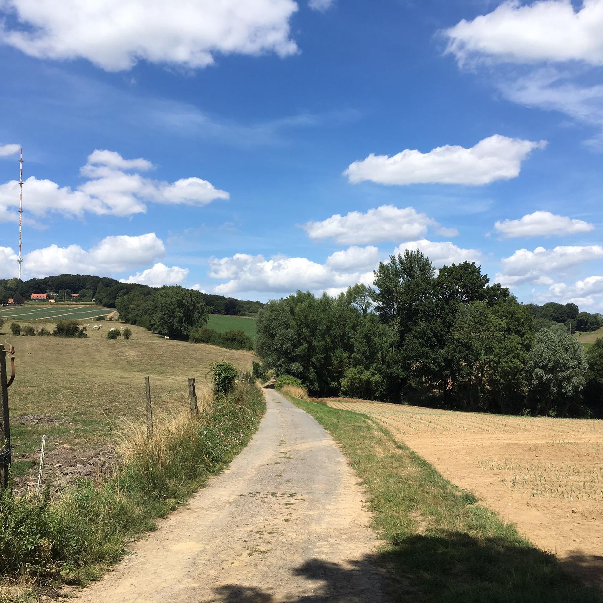
Mountain bike trails around Flêtre are concentrated in the hilly areas of French Flanders, offering varied terrain for cycling. The region is characterized by its undulating landscape, providing gradients suitable for engaging mountain bike routes. Proximity to Mont des Cats offers significant opportunities for downhill trails and challenging climbs. The surrounding countryside features green landscapes, making it a relevant destination for outdoor activities.
Best mountain bike trails around Flêtre
- The most popular mountain bike trail is Ooljemullenweegel – Descent of…
Last updated: July 15, 2026
4.6
(13)
219
riders
46.6km
03:43
800m
800m
Moderate mountain bike ride. Good fitness required. Suitable for all skill levels.
4.6
(5)
63
riders
53.1km
03:43
610m
610m
Moderate mountain bike ride. Good fitness required. Advanced riding skills necessary.

Sign up for free
4.8
(10)
45
riders
26.4km
02:05
520m
530m
Moderate mountain bike ride. Good fitness required. Advanced riding skills necessary.
4.4
(5)
14
riders
Moderate mountain bike ride. Good fitness required. Suitable for all skill levels.
4.0
(1)
8
riders
24.1km
01:47
330m
320m
Moderate mountain bike ride. Good fitness required. Advanced riding skills necessary.
Get access to more routes and recommendations from other explorers.
Sign up for free
Already have an account?
Our route recommendations are based on thousands of hikes, rides, and runs completed by other people on komoot.
Start today with a free account
Your next adventure awaits.
Login or Signup
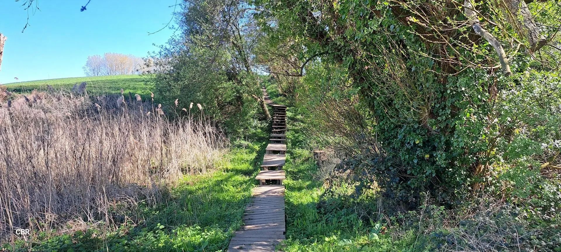
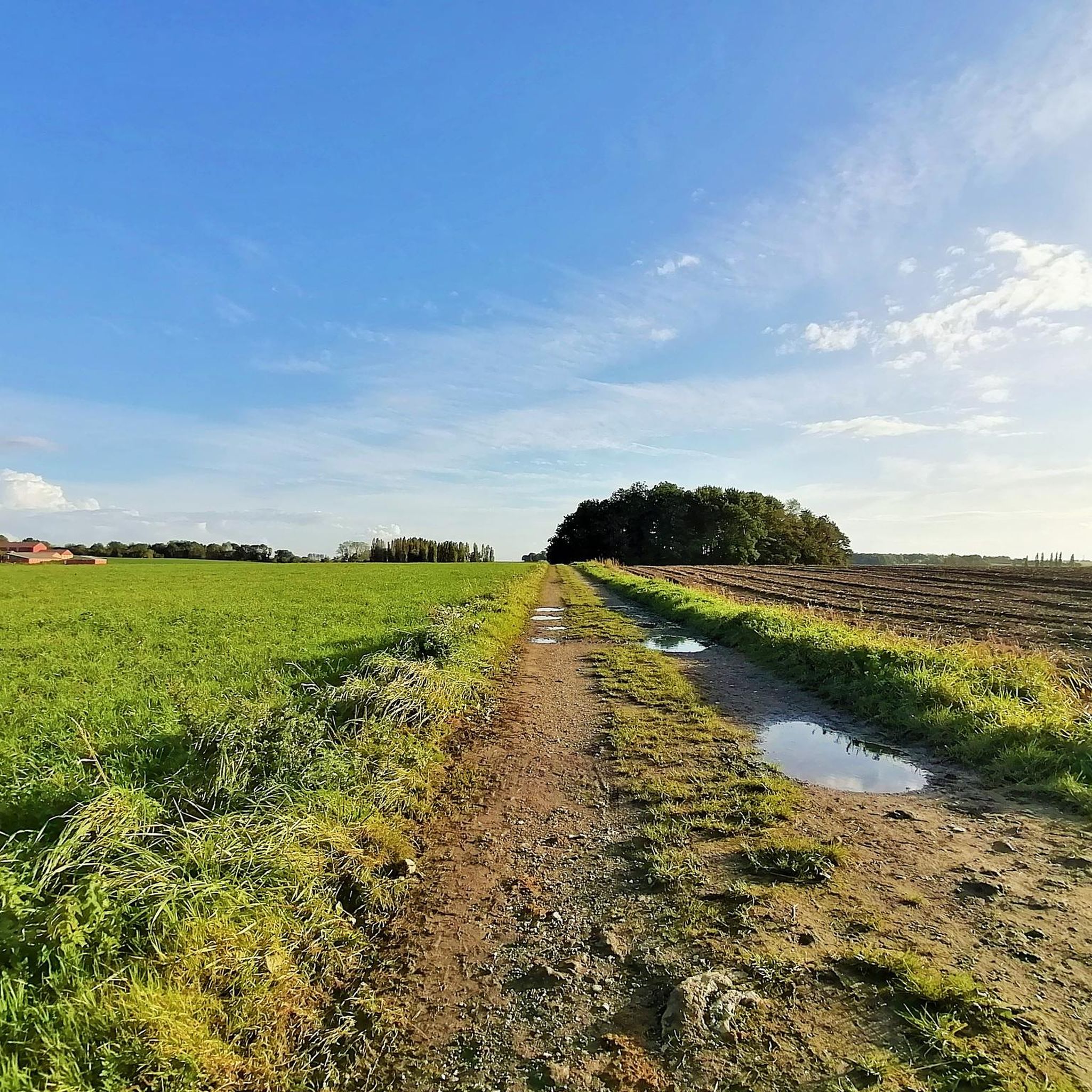
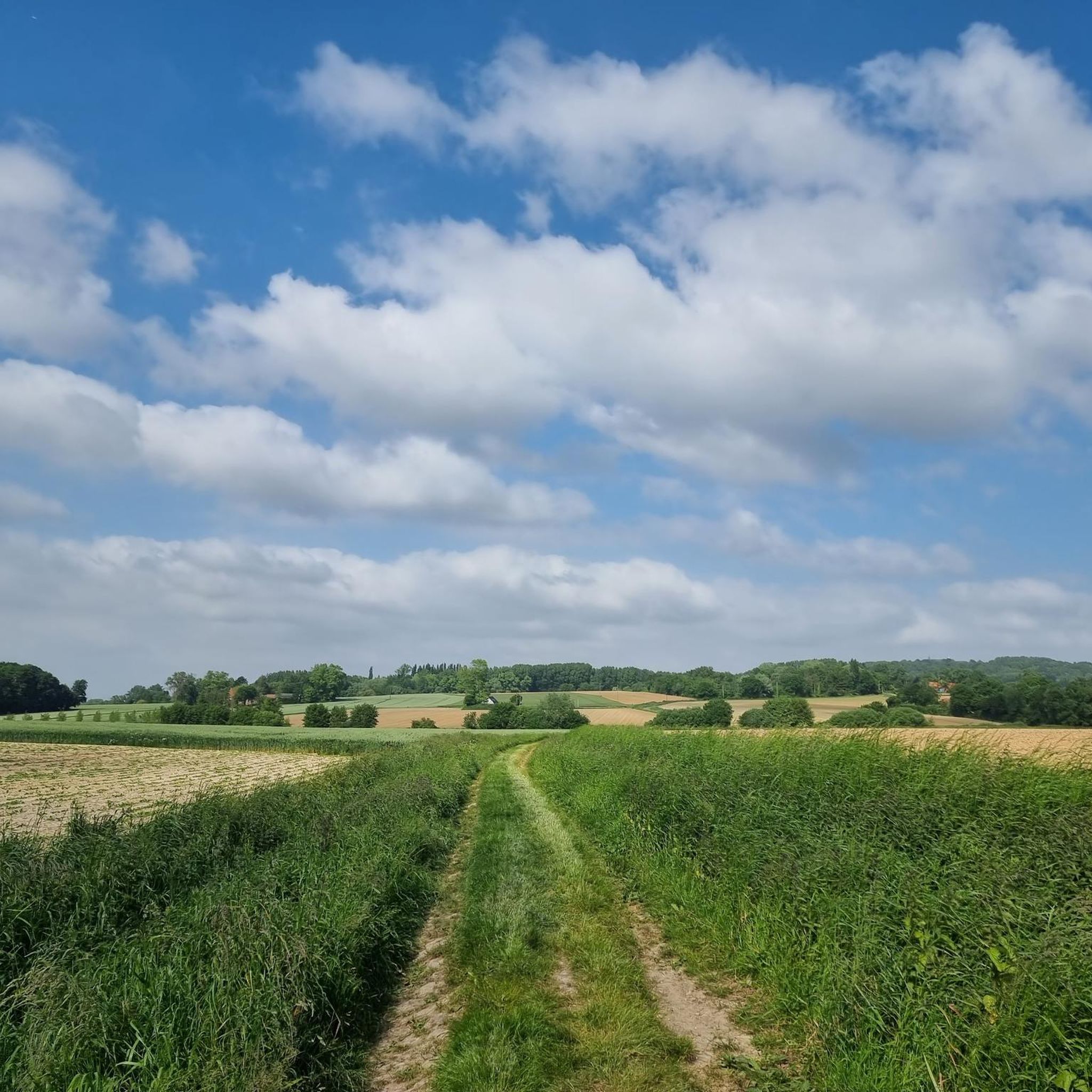
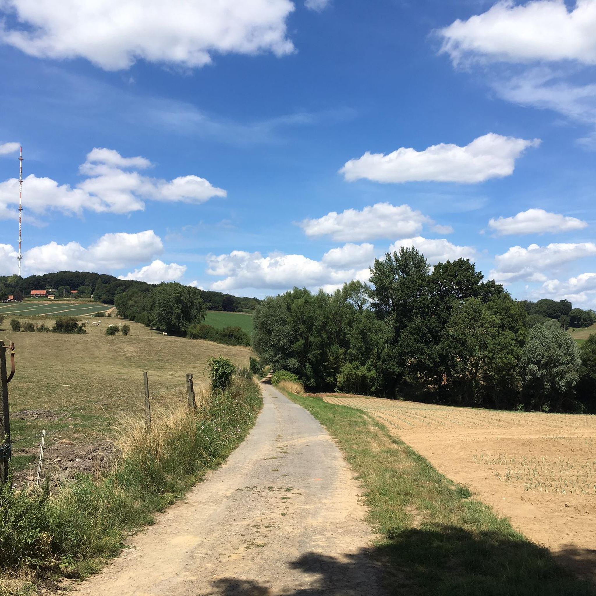

Other adventures around Flêtre

Tips from the Community

Beautiful technical passage on mountain bike
1
0


Just 2 minutes from the Moulin de Boescheppe and the Estaminet de Vierpot, you'll find the "La Garonde" guesthouse, perfect for relaxing after a good ride! https://www.lagaronde.com/ This guesthouse has been awarded the "Accueil Vélo" (Cycling Welcome) label for all touring cyclists. ;)
1
0

The Pont de Thiennes is a traffic bridge located on the Leie, connecting the municipalities of Thiennes and Aire-sur-la-Lys. The bridge was inaugurated in 2014. It is built of Soignies granite and was financed by the state (33.9%) for war damage, by the department of Pas-de-Calais (33.05%) and by the department of Nord (33.05%). The bridge is equipped with a lifting system to allow the passage of boats.
7
0

https://www.toerismeheuvelland.be/nl/boeschepe-ondankmeulen The history of the mill according to the website of Toerisme Heuvelland
1
0
https://www.estaminetdevierpot.com/ Estaminet De Vierpot website. Open from Thursday to Sunday. Can be very busy in good weather and on weekends, no place without reservation.
1
0

"Col" is a big word for a hill that is no higher than 109m. The point is therefore mainly known as the approach to the Catsberg, with its 164m not exactly a "peak", but the abbey on the top can be seen from far away and gives the Catsberg a shine that also radiates on the Col de Berthen.
1
0

Frequently Asked Questions
How many mountain bike trails are available around Flêtre?
There are over 200 mountain bike routes around Flêtre, with the majority being moderate in difficulty. You'll find options ranging from easier rides to more challenging trails, including one classified as difficult.
What is the terrain like for mountain biking in Flêtre?
The region around Flêtre, part of French Flanders, is characterized by its hilly landscapes, providing varied terrain and gradients suitable for engaging mountain bike routes. The prominent Mont des Cats offers significant opportunities for both challenging climbs and enjoyable downhill sections.
Are there any family-friendly mountain bike trails near Flêtre?
While the provided routes are generally moderate, the varied terrain of French Flanders means there are likely easier sections or shorter loops suitable for families. It's best to check individual route details for specific difficulty and length to ensure they match your family's skill level.
Can I bring my dog on the mountain bike trails around Flêtre?
Many outdoor trails in France, especially in natural areas, are dog-friendly, often requiring dogs to be on a leash. However, specific regulations can vary by trail or protected area. It's advisable to check local signage or contact the regional tourism office for the most current information regarding dog access on specific mountain bike paths around Flêtre and Mont des Cats.
What are some notable landmarks or viewpoints I might encounter on the trails?
The trails around Flêtre offer views of the undulating landscapes of French Flanders. You might encounter historical sites like the Locre No 10 Cemetery or man-made monuments such as the Lijstermolen on the Baneberg. The Mont des Cats Abbey is also a significant landmark in the area, often near trailheads or routes.
Are there any circular mountain bike routes available?
Yes, many of the routes around Flêtre are designed as loops. For example, the Ooljemullenweegel – Descent of Mont de Boeschepe loop from Strazeele is a popular circular trail covering 52.8 km with significant elevation gain. Another option is the Catsberg Descent – Scenic Countryside Path loop from Godewaersvelde, a shorter 20.8 km loop.
What is the best time of year for mountain biking in Flêtre?
The region's green and authentic countryside is enjoyable throughout much of the year. Spring and autumn generally offer pleasant temperatures and vibrant scenery, making them ideal. While winter riding is possible, be prepared for potentially muddy conditions, especially on downhill sections around Mont des Cats.
Where can I find parking for mountain biking near Flêtre or Mont des Cats?
Specific parking information for trailheads is often available on individual route descriptions. Given the popularity of Mont des Cats for outdoor activities, there are typically designated parking areas near the Abbey or other popular starting points. For detailed information on official VTT routes and parking, you might find resources on regional cycling websites like vtt-hautsdefrance.fr.
What do other mountain bikers say about the trails in Flêtre?
The mountain bike routes in Flêtre are highly regarded by the komoot community, holding an average rating of 4.4 stars from over 200 reviews. Riders often praise the varied terrain, the challenging aspects of Mont des Cats, and the scenic, green landscapes of French Flanders.
Are there any routes that offer significant elevation gain for a challenge?
Yes, the hilly nature of the region, particularly around Mont des Cats, provides routes with notable elevation gain. The Ooljemullenweegel – Descent of Mont de Boeschepe loop from Strazeele, for instance, features over 620 meters of elevation gain over its 52.8 km, offering a substantial challenge.
Are there any cafes or places to eat near the mountain bike trails in Flêtre?
Flêtre, being a tranquil village, has local establishments like Cafe de la Mairie. The broader region of French Flanders and areas around Mont des Cats also offer various options, from small cafes to auberges, where you can refuel after your ride. Checking local listings for restaurants and cafes in Flêtre and nearby towns like Godewaersvelde or Strazeele is recommended.
How long do mountain bike trails around Flêtre typically take to complete?
The duration varies significantly depending on the route's length and difficulty, as well as your pace. For example, the moderate The Thiennes Bridge – Château de la motte au bois loop from Strazeele, at 45.9 km, typically takes around 2 hours 23 minutes. Longer, more challenging routes like the Ooljemullenweegel – Descent of Mont de Boeschepe loop from Strazeele (52.8 km) can take closer to 3 hours 45 minutes.
Most popular attractions around Flêtre

Get inspired with the komoot mobile app


Explore more
Browse the best MTB trails in other regions.
