The best cycling routes around Saint-André-Des-Eaux
4.4
(41)
265
riders
27
rides
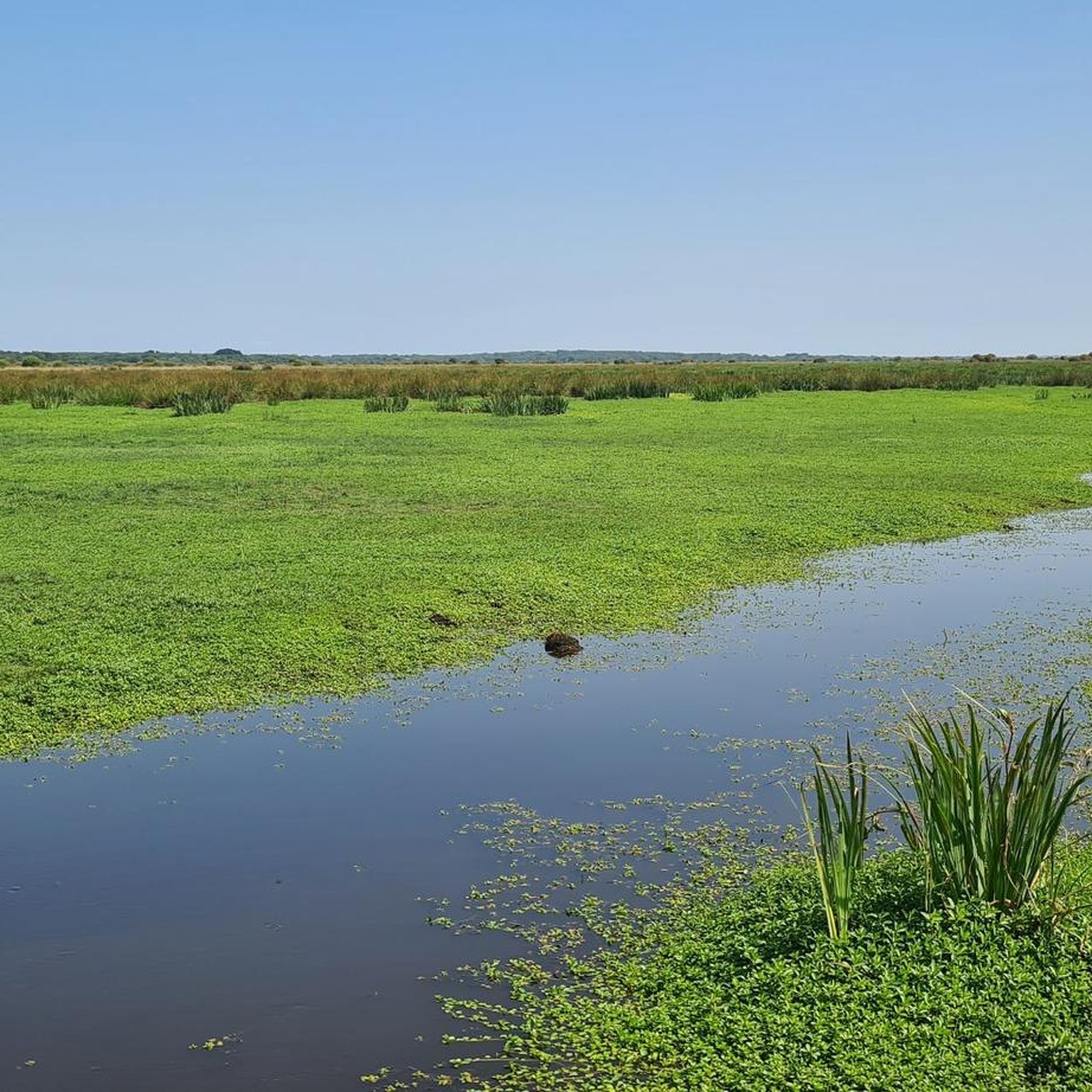
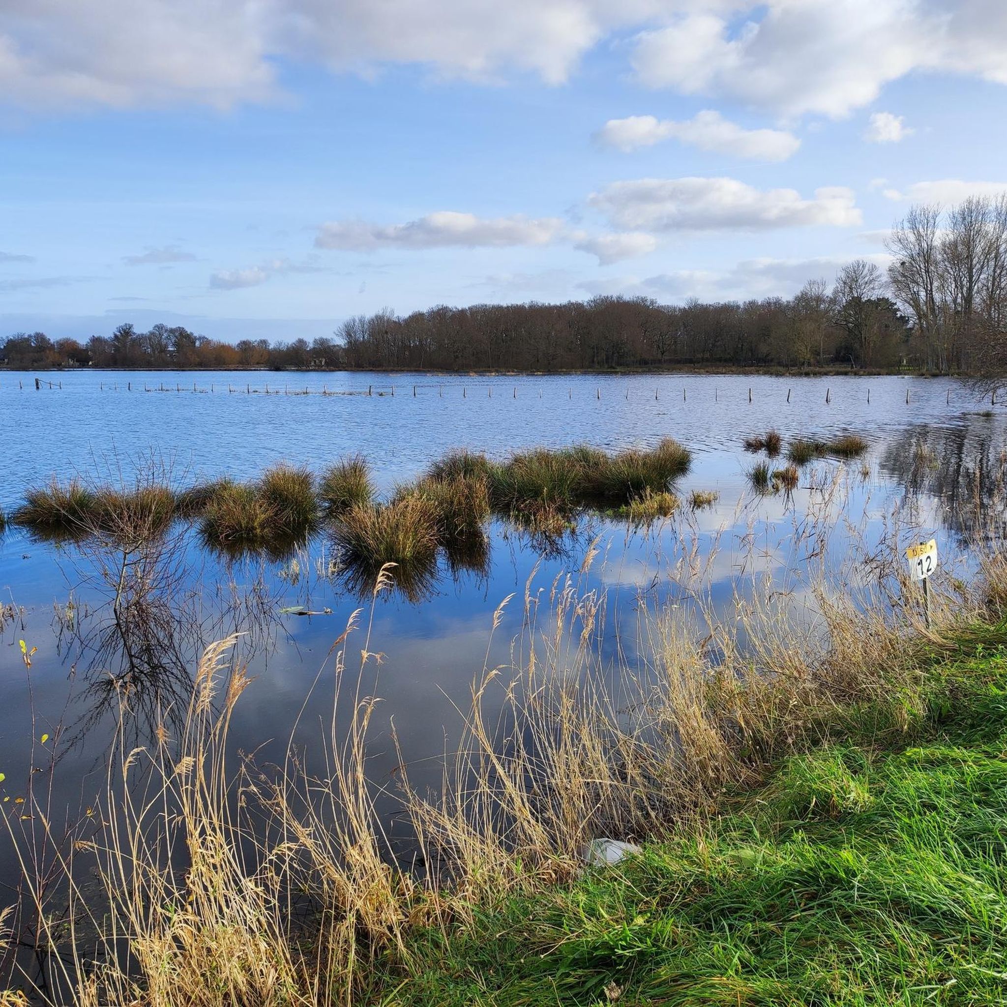
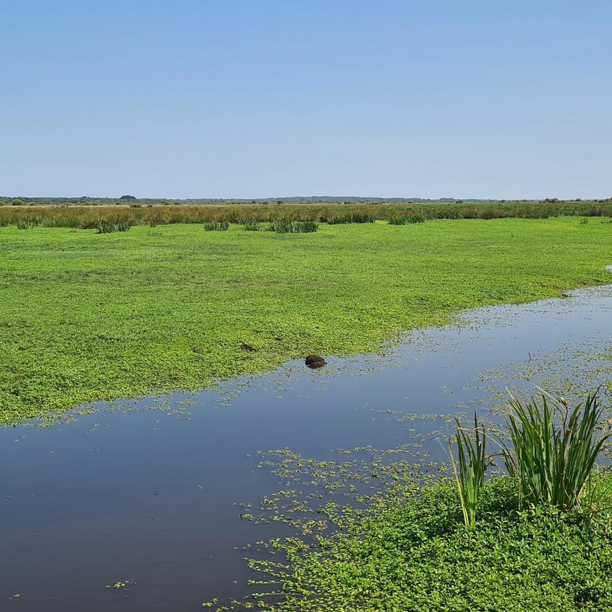
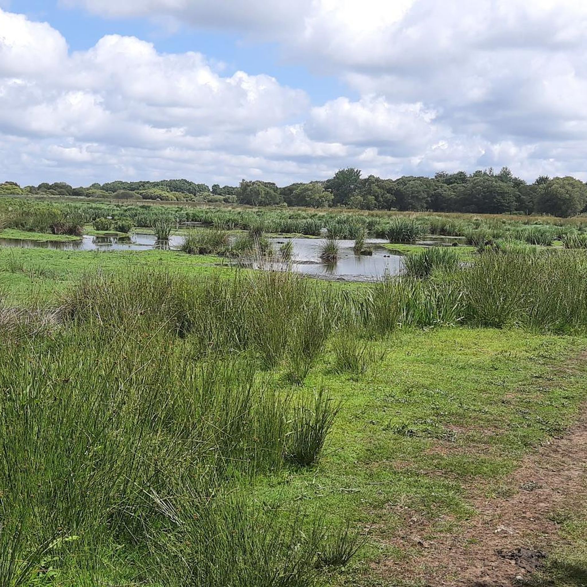
Cycling routes Saint-André-Des-Eaux are situated between the Atlantic coast and the Brière Regional Natural Park, offering diverse landscapes for touring cyclists. The region is characterized by expansive freshwater marshlands, an intricate network of canals, and proximity to the sandy beaches of the Bay of La Baule. The terrain is predominantly flat, making it accessible for various cycling abilities.
Best touring cycling routes around Saint-André-Des-Eaux
- The most popular touring cycling route is Beautiful section of the Vélocéan – Guérande Ramparts loop from Saint-André-des-Eaux, a 26.3 miles (42.4 km) trail that takes 2 hours 35 minutes to complete. This moderate route connects coastal areas with the unique marshland environment.
- Another top favourite among local touring cyclists is Tréhé – Port de Tréhé loop from Saint-André-des-Eaux, an easy 9.2 miles (14.8 km) path. This route offers views of the Brière marsh and its traditional villages.
- Local touring cyclists also love the Haut Marland Inn – Port of La Chaussée Neuve loop from Saint-André-des-Eaux, a 9.7 miles (15.6 km) trail leading through the Brière marsh, often completed in about 1 hour.
- Touring cycling around Saint-André-Des-Eaux is defined by the Brière marsh, its network of canals, and the nearby Atlantic coastline. The network offers options for different ability levels, from easy loops to moderate excursions.
- The routes in Saint-André-Des-Eaux are highly rated by the komoot community with an average score of 4.5 stars from over 30 reviews. More than 200 touring cyclists have used komoot to explore Saint-André-Des-Eaux's varied terrain.
Last updated: July 6, 2026
4.8
(4)
55
riders
Moderate bike ride. Good fitness required. Mostly paved surfaces. Suitable for all skill levels.
4.4
(7)
36
riders
34.2km
02:22
100m
100m
Moderate bike ride. Good fitness required. Mostly paved surfaces. Suitable for all skill levels.

Sign up for free
3.9
(8)
17
riders
45.5km
02:35
100m
100m
Moderate bike ride. Good fitness required. Mostly paved surfaces. Suitable for all skill levels.
4.5
(4)
11
riders
Easy bike ride. Great for any fitness level. Mostly paved surfaces. Suitable for all skill levels.
4.5
(2)
13
riders
22.0km
01:25
120m
120m
Easy bike ride. Great for any fitness level. Mostly paved surfaces. Suitable for all skill levels.
Get access to more routes and recommendations from other explorers.
Sign up for free
Already have an account?
Our route recommendations are based on thousands of hikes, rides, and runs completed by other people on komoot.
Start today with a free account
Your next adventure awaits.
Login or Signup

Tips from the Community

The area within the city walls is very nice; don't hesitate to try a galette at Chien Assi, it's amazing!!!
0
0

a perfectly passable route without major difficulty
0
0

High viewpoint over the Briére marsh
0
0

gravel outing with a little difficulty
0
0

A reservoir built around 1880 to meet the growing freshwater needs of the population and, especially, industry. After the Québrais reservoir, you can continue on to the Tilleuls, Guindreff, and Belle Hautière ponds, all of which are walkable and cycleable.
0
0
A bucolic route on the Vélocéan.
0
0
Haven't tested it, but it looks nice. I think it's more for children.
0
0
Frequently Asked Questions
What is the terrain like for touring cycling in Saint-André-Des-Eaux?
The terrain around Saint-André-Des-Eaux is predominantly flat, making it highly accessible for touring cyclists of all abilities. The region is characterized by expansive freshwater marshlands of the Brière Regional Natural Park and the nearby Atlantic coastline, offering gentle gradients and scenic views without significant climbs.
Are there family-friendly cycling routes in Saint-André-Des-Eaux?
Yes, Saint-André-Des-Eaux offers numerous easy routes perfect for families. For instance, the Tréhé – Port de Tréhé loop from Saint-André-des-Eaux is an easy 9.2-mile (14.8 km) path that provides beautiful views of the Brière marsh and its traditional villages, ideal for a leisurely family ride. Another great option is the Étang de Guindreff – Québrais Basin loop from Saint-André-des-Eaux, an easy 13.7-mile (22 km) route.
What natural features can I expect to see while cycling in the region?
While cycling in Saint-André-Des-Eaux, you'll primarily experience the unique landscapes of the Brière Regional Natural Park, one of Europe's richest biological wetland areas. This includes intricate networks of canals, traditional thatched-roof houses, and a rich biodiversity, especially numerous bird species like herons and egrets. You'll also encounter coastal scenery near the Bay of La Baule and the Wild Coast.
Are there any historical landmarks or attractions along the cycling routes?
Yes, the region offers several interesting landmarks and attractions. You can explore the Guérande Salt Marshes, visit the historic Porte Saint-Michel in Guérande, or see the ancient Tumulus of Dissignac. The area also features traditional rural heritage elements like old bread ovens and ancient wells.
Are there circular cycling routes available in Saint-André-Des-Eaux?
Yes, many of the touring cycling routes in Saint-André-Des-Eaux are designed as loops, allowing you to start and end at the same point. Examples include the Beautiful section of the Vélocéan – Guérande Ramparts loop from Saint-André-des-Eaux, which is a moderate 26.3-mile (42.4 km) ride, and the easy Haut Marland Inn – Port of La Chaussée Neuve loop from Saint-André-des-Eaux, covering 9.7 miles (15.6 km).
Is parking available near the cycling routes?
While specific parking locations for each route are not detailed in the guide, Saint-André-Des-Eaux is well-equipped for visitors. Given its popularity for outdoor activities, you can generally find parking in the town center or near popular starting points for trails, such as the ports of La Chaussée Neuve and Tréhé, which are known hubs for marsh exploration.
What is the best time of year for touring cycling in Saint-André-Des-Eaux?
The region is enjoyable for cycling throughout much of the year. However, the spring and autumn months typically offer the most pleasant weather conditions for touring cycling, with milder temperatures and less crowded trails. Summer can also be excellent, especially for combining cycling with coastal activities, though it may be busier.
How many touring cycling routes are available around Saint-André-Des-Eaux?
There are over 25 touring cycling routes available around Saint-André-Des-Eaux documented on komoot. These routes cater to various skill levels, with 20 easy routes, 3 moderate routes, and 2 more challenging options.
What do other cyclists enjoy most about touring cycling in Saint-André-Des-Eaux?
The area is highly rated by the komoot community, with an average score of 4.5 stars from over 30 reviews. Cyclists often praise the unique blend of coastal and marshland scenery, the flat and accessible terrain suitable for all levels, and the opportunity to explore the tranquil Brière Regional Natural Park and its traditional villages.
Can I access the cycling routes using public transport?
Saint-André-Des-Eaux is situated in Loire-Atlantique, and while specific public transport links directly to trailheads are not detailed, regional bus services often connect smaller towns. For detailed information on public transport options to Saint-André-Des-Eaux and surrounding areas, it is advisable to check local transport authority websites or consult the Saint-Nazaire Tourisme website for regional travel advice.
Are there any routes that combine coastal views with marshland exploration?
Absolutely. The region's unique position between the Atlantic coast and the Brière marsh allows for routes that offer both. For example, the Dolmens of Kerbourg – Port of Bréca loop from Saint-André-des-Eaux is a moderate 20.2-mile (32.5 km) route that takes you through varied landscapes, including coastal sections and parts of the marsh, offering a diverse cycling experience.
Are there places to eat or rest along the cycling routes?
While the guide does not list specific cafes or restaurants on every route, the traditional villages within the Brière marsh and the towns along the coast, such as Saint-André-Des-Eaux itself, offer various options for refreshments and meals. Exploring these villages is part of the charm of cycling in the region, and you'll find local establishments to stop and refuel.
Most popular routes around Saint-André-Des-Eaux
Most popular attractions around Saint-André-Des-Eaux

Get inspired with the komoot mobile app


Explore more
Browse the best Cycling routes in other regions.
