The best running trails around Establet
149
runners
21
runs
Jogging around Establet offers diverse experiences within the Drôme department of southeastern France, characterized by varied terrain and significant elevation changes. The region features a mix of untamed rivers, towering cliffs, dense forests, and valleys, providing a rich backdrop for running. Establet is situated within the Pays Diois, a transition zone between the Vercors and Provence, known for its natural parks and protected landscapes. The area's hilly environment and numerous ridges offer panoramic views, enhancing the natural experience for runners.
…Last updated: June 25, 2026
20
runners
11.4km
01:33
480m
480m
Hard run. Very good fitness required. Mostly paved surfaces. Suitable for all skill levels.
19
runners
11.8km
01:34
460m
460m
Hard run. Very good fitness required. Mostly paved surfaces. Suitable for all skill levels.

Sign up for free
12
runners
13.9km
01:50
450m
450m
Hard run. Very good fitness required. Mostly paved surfaces. Suitable for all skill levels.
5
runners
7.60km
00:50
130m
130m
Moderate run. Good fitness required. Mostly paved surfaces. Suitable for all skill levels.
5
runners
17.5km
02:41
870m
870m
Hard run. Very good fitness required. Mostly paved surfaces. Suitable for all skill levels.
Get access to more routes and recommendations from other explorers.
Sign up for free
Already have an account?
Our route recommendations are based on thousands of hikes, rides, and runs completed by other people on komoot.
Start today with a free account
Your next adventure awaits.
Login or Signup
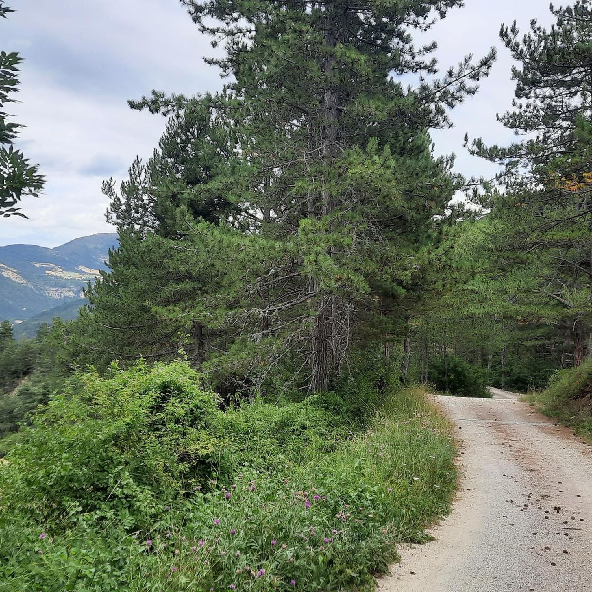
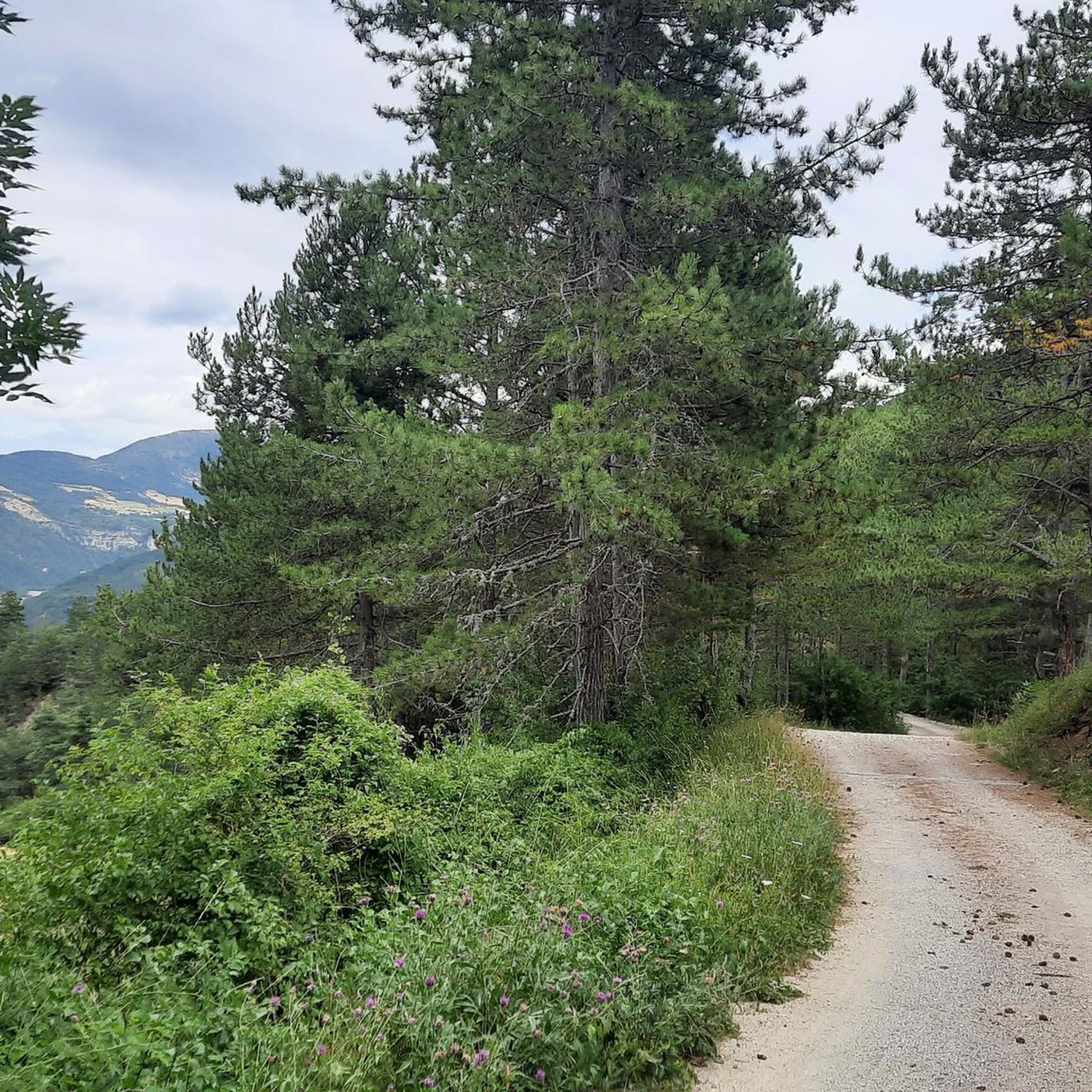
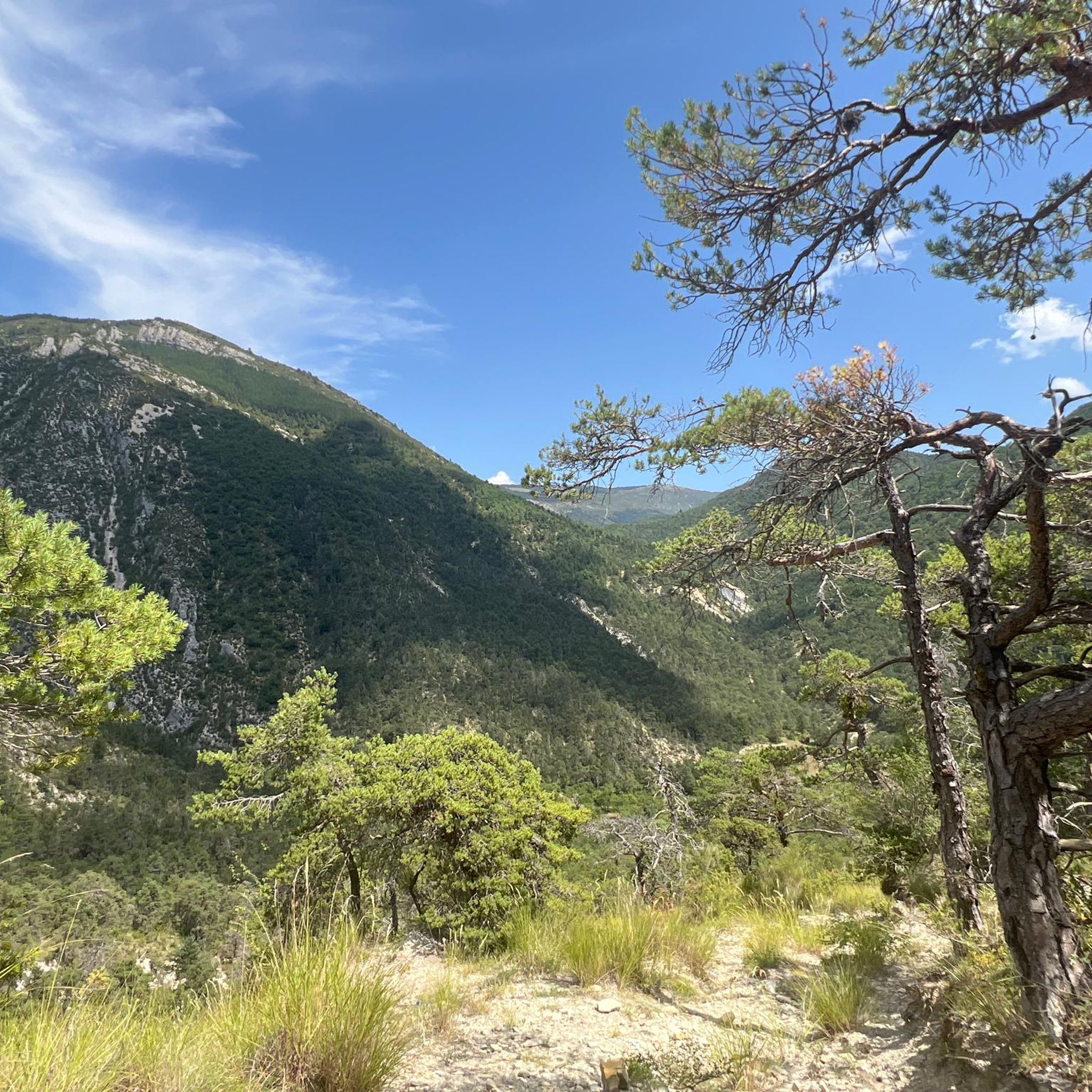
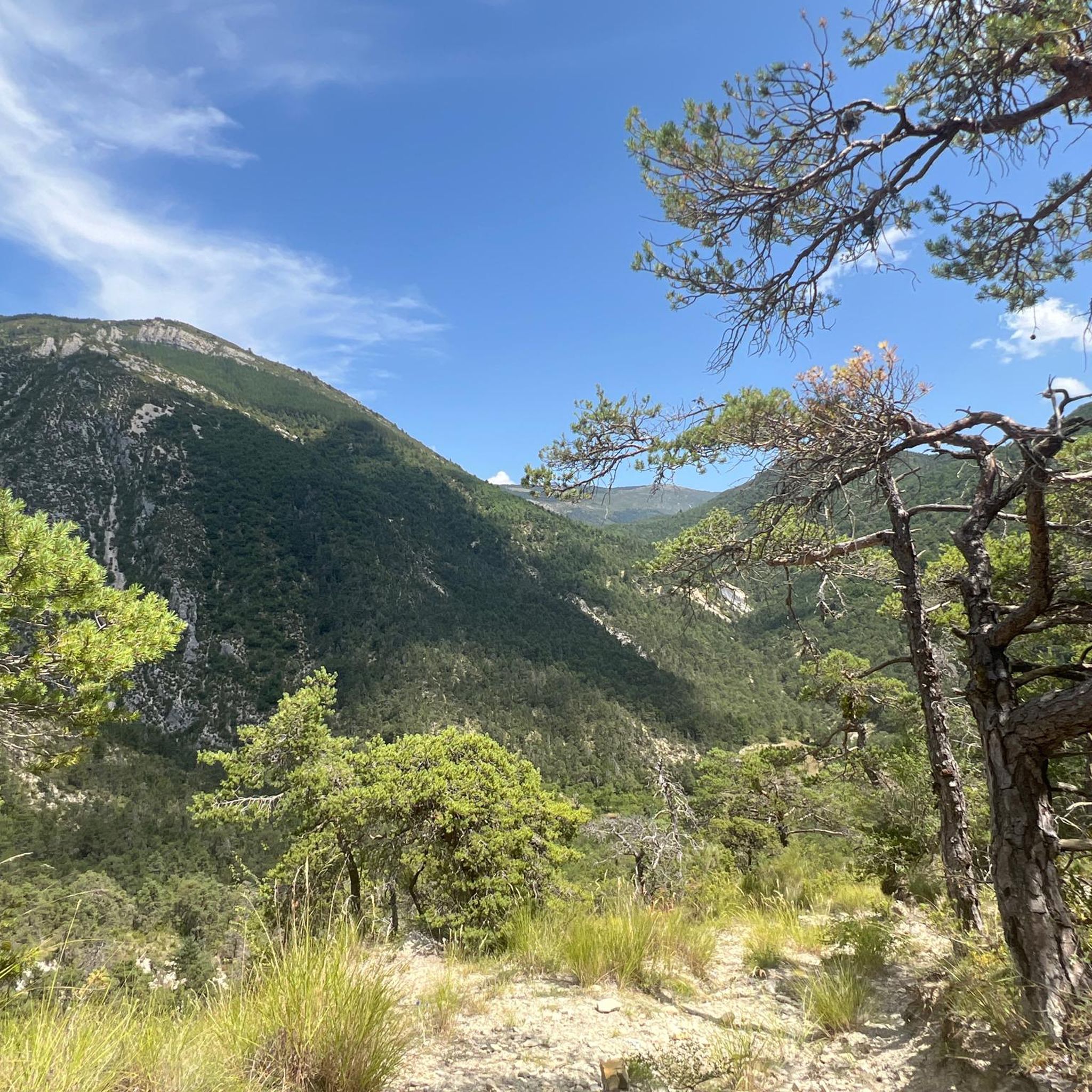
Tips from the Community

bring good shoes and a windbreaker at the top
0
0

Exceptional 360° panorama.
0
0
Magnificent panorama. Once at the top, it's not very difficult and very pleasant.
0
0

This beautiful 16th century building has two towers. It has been the subject of restoration for 30 years and has been included on the list of historic monuments since 1926. It is known to have belonged to Philis de La Charce, a local heroine of the 17th century.
1
0

Located at 1473 meters, the summit straddles the departments of Hautes-Alpes and Drôme and offers beautiful views of the mountains and their forests!
1
0

Small castle ruins in Charce on the Oule.
1
0

This castle owes its fame to Philis de la Charce, heroine of Dauphiné. Its restoration is the result of 30 years of effort. He visits himself. For more information on opening hours, contact the town hall of the village at the following numbers: 06 08 77 68 48 and 04 75 27 23 44
0
0
Frequently Asked Questions
How many running routes are available around Establet?
There are over 20 running routes around Establet featured on komoot, offering a variety of experiences for different skill levels. These routes explore the diverse landscapes of the Pays Diois region.
Are there easy running trails for beginners in Establet?
While the region is known for its varied and often hilly terrain, there are moderate options suitable for beginners or those seeking a more relaxed run. For example, the Plan d'eau du Pas des Ondes loop from La Motte-Chalancon is a moderate 5.6-mile (9.0 km) path offering gentler terrain around a water feature.
What kind of terrain can I expect on jogging routes near Establet?
Jogging around Establet offers a highly varied terrain, from gentler paths along valleys and water features to more challenging inclines in mountainous areas. You'll encounter dense forests, untamed rivers, and hilly environments, characteristic of the transition zone between the Vercors and Provence. The elevation in the broader Establet area ranges from approximately 632 to 1,400 meters (2,073–4,593 ft).
Are there challenging running routes for experienced runners?
Yes, Establet offers several challenging routes with significant elevation gain. For instance, the Running loop from La Motte-Chalancon is a difficult 7.3-mile (11.8 km) trail with substantial climbs, taking about 1 hour 33 minutes to complete. Another option is the Motte Vieille loop from La Motte-Chalancon, an 8.5-mile (13.7 km) difficult trail through a hilly environment.
Can I find circular jogging routes in the Establet area?
Yes, many of the running routes around Establet are designed as loops, allowing you to start and finish at the same point. Examples include the Plan d'eau du Pas des Ondes loop and the Château de La Charce – La Charce Castle loop.
What natural attractions can I see while running near Establet?
The region is rich in natural beauty. While running, you might encounter features like the Drôme River, the Ruisseau d'Establet, and various forests. Nearby natural monuments include the Saut de la Drôme and the Claps, the Claps Rock Chaos, and the Gorges de l'Arayon. The hilly environment also provides stunning panoramic views.
What is the best time of year to go jogging in Establet?
Establet offers beautiful running conditions throughout much of the year. From mid-June to early August, the region's lavender fields are particularly vibrant, offering a fragrant and visually stunning environment. Spring and autumn provide pleasant temperatures and colorful landscapes, while the varied terrain can also offer options for winter jogging, depending on conditions.
Are dogs allowed on the jogging paths in Establet?
The Pays Diois region, where Establet is located, is generally very welcoming to outdoor activities. While specific regulations can vary, many natural trails and paths are dog-friendly. It's always recommended to keep dogs on a leash, especially in protected areas or near wildlife, and to respect local signage.
Is public transport available to access running trails in Establet?
Establet is a commune nestled in a rural part of the Drôme department. While public transport options directly to trailheads might be limited, the broader Pays Diois region has some local bus services. For detailed information on public transport in the area, it's best to consult the local tourism office or regional transport websites.
Where can I find parking near the jogging routes?
Many running routes in the Establet area, particularly those starting from nearby villages like La Motte-Chalancon or La Charce, typically have designated parking areas. These are often found near village centers or trailheads. It's advisable to check the specific route details on komoot for parking recommendations for each individual trail.
What makes the Pays Diois region unique for runners?
The Pays Diois region is an exceptional natural site, characterized by its diverse and captivating landscapes. It acts as a transition zone between the Vercors mountains and Provence, offering a unique blend of untamed rivers, towering cliffs, dense forests, and valleys. This varied topography, combined with natural parks and protected areas, provides an immersive and ever-changing backdrop for runners.
What do other runners enjoy most about the trails in Establet?
Runners using komoot frequently praise the varied terrain and the stunning natural beauty of the Establet area. The network of trails offers options for different ability levels, from moderate paths to more challenging routes with significant climbs, all set against the backdrop of the picturesque Pays Diois. Over 170 runners have used komoot to explore these diverse routes.
Most popular attractions around Establet

Get inspired with the komoot mobile app


Explore more
Browse the best Running Trails & Routes in other regions.
