The best MTB trails around Val-Maravel
4.4
(11)
120
riders
14
rides
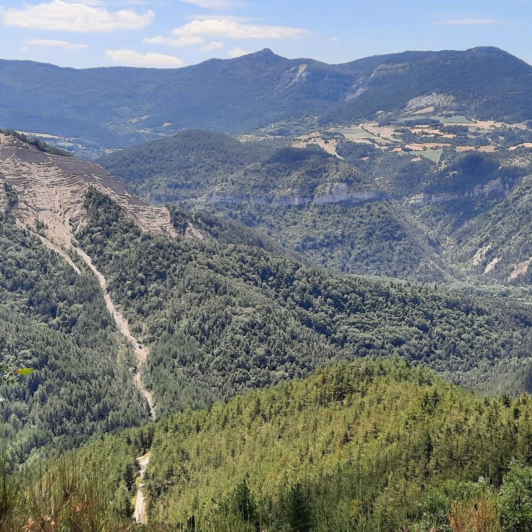
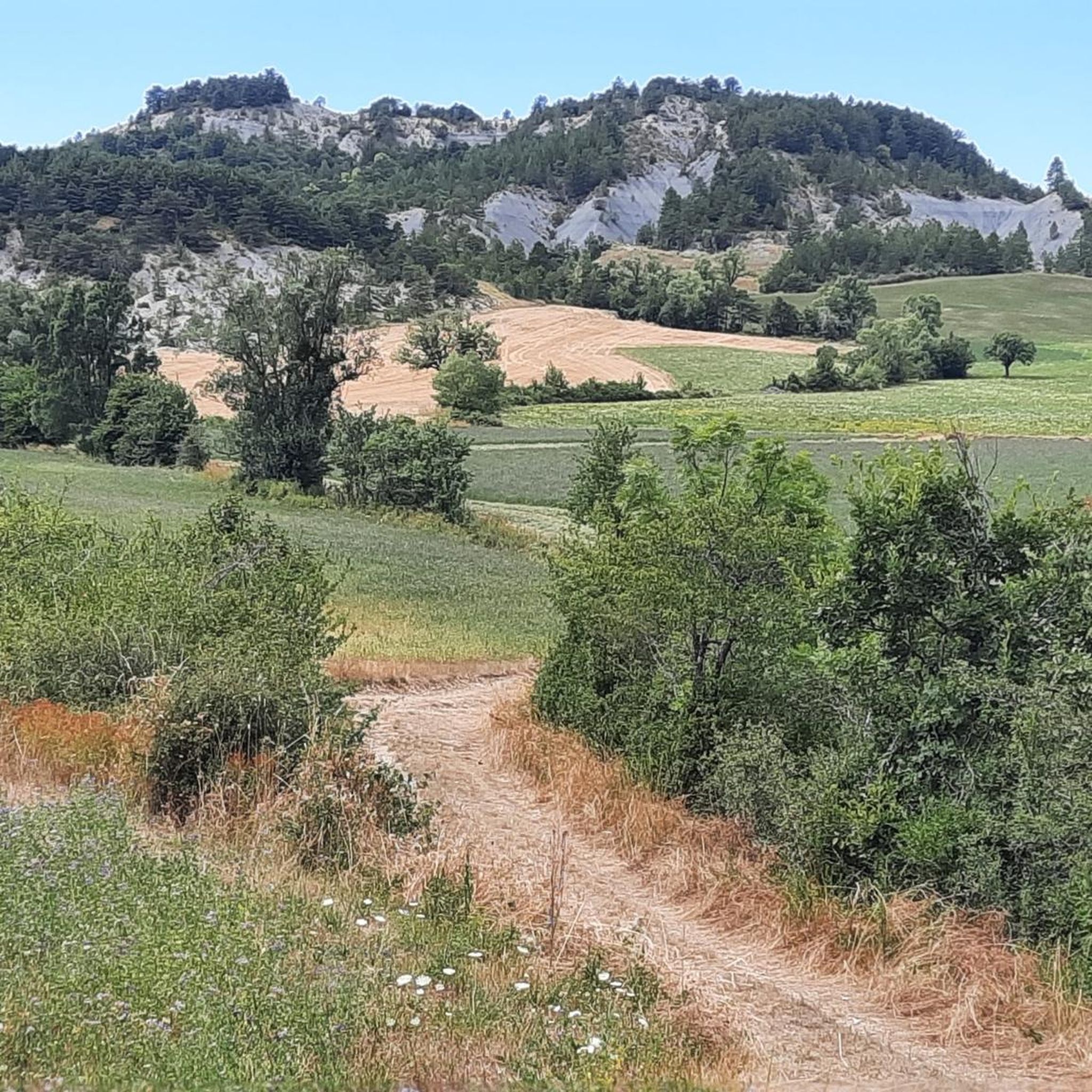
Mountain biking around Val-Maravel offers routes through an isolated forest valley, characterized by mountainous terrain and dramatic geological formations. The region features blue marl landscapes and is dominated by peaks such as Puy, Chauvet, and Luzet. Access often involves traversing the Gorges de la Maravel, carved by the river, providing a rugged environment for cycling. The area's varied elevation and natural features, including panoramic views from Le Pilhon, create diverse mountain biking opportunities.
Best mountain bike trails around Val-Maravel
- The…
Last updated: July 1, 2026
24
riders
34.8km
03:35
1,060m
1,060m
Hard mountain bike ride. Very good fitness required. Advanced riding skills necessary.
8
riders
24.9km
02:15
580m
580m
Moderate mountain bike ride. Good fitness required. Suitable for all skill levels.

Sign up for free
9
riders
23.8km
02:50
880m
880m
Moderate mountain bike ride. Good fitness required. Suitable for all skill levels.
4.0
(1)
11
riders
24.2km
02:35
810m
810m
Moderate mountain bike ride. Good fitness required. Advanced riding skills necessary.
5.0
(1)
11
riders
50.4km
03:17
690m
690m
Moderate mountain bike ride. Good fitness required. Suitable for all skill levels.
Get access to more routes and recommendations from other explorers.
Sign up for free
Already have an account?
Our route recommendations are based on thousands of hikes, rides, and runs completed by other people on komoot.
Start today with a free account
Your next adventure awaits.
Login or Signup
Tips from the Community

The Col de Carabès is a mountain pass located in the French Alps, on the border between the departments of Drôme and Hautes-Alpes.
11
0

Much better alternative than the main road from the Drôme towards Gap. Almost no traffic, on average 4-5% on both sides, but short stretches also 7-8%. On the south side beautiful rock formations and gorge, north side less spectacular, more between trees.
3
0

Feeling a little thirsty? Luckily, the fountain bar is here to help.
0
0


Path known as “the Rif” Can be taken in both directions but ideally in the direction Miscon towards Le Claps. Very playful and fun trail. Be careful, we share it with walkers and cyclists in both directions.
0
0

Very beautiful panorama on the Hautes Alpes side
3
0
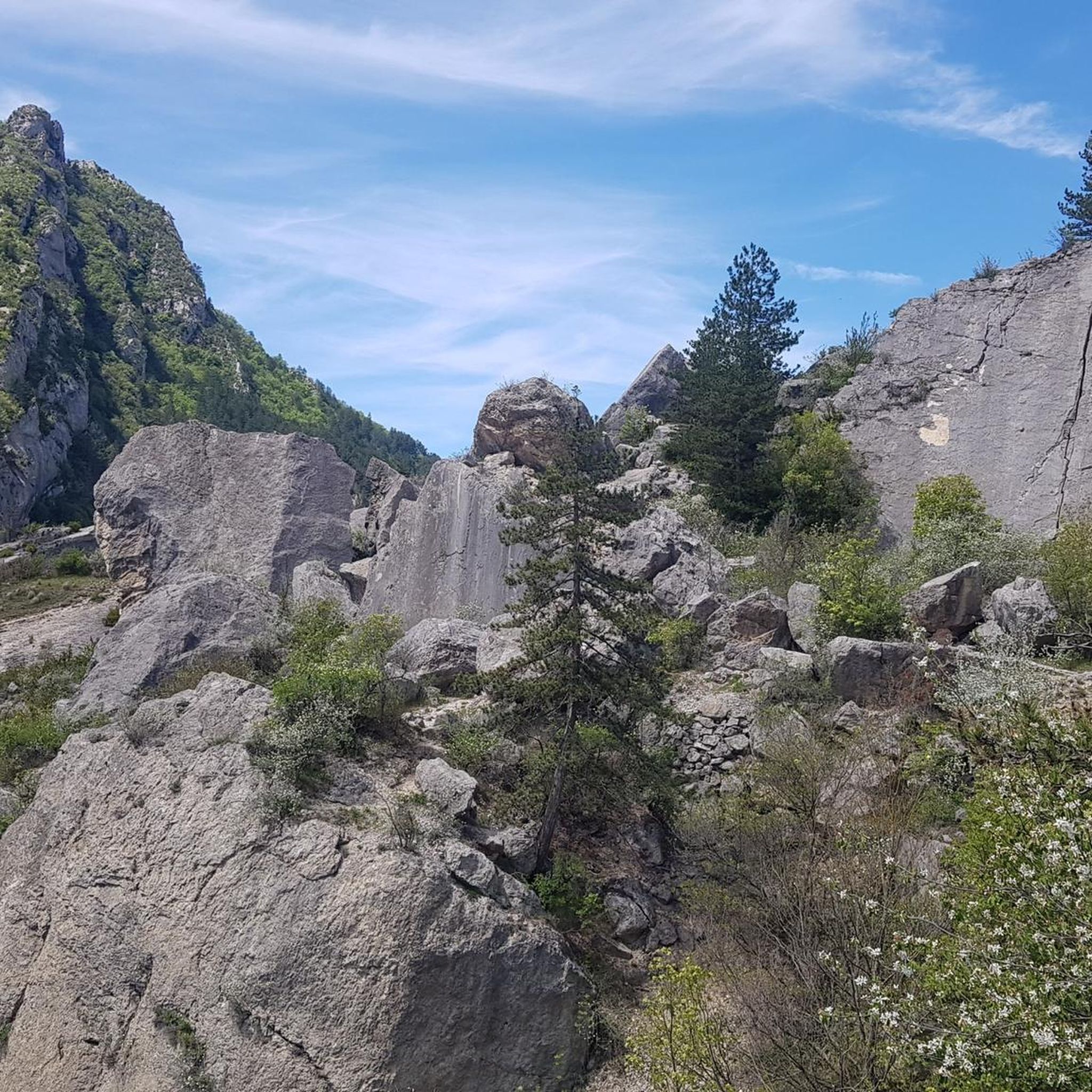
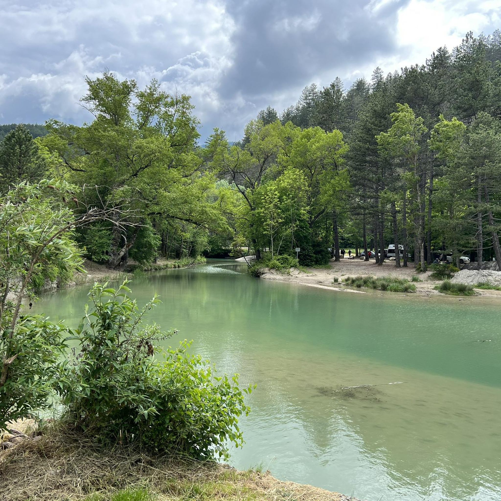
It all began in 1442 when a foundation broke away from the southern flank of Pic de Luc. As it slid, it hit a limestone spur, divided, broke into enormous blocks and blocked the Drôme at two points... thus two lakes were formed: the Petit downstream and the Grand upstream. The “Grand Lac” is 5 km long and arouses envy because it is full of fish. In 1561 it thus became the property of the Carthusians of Durban, monks to whom meat was forbidden. It was only in 1804 that a huge block, the “dad”, was pierced to let the water flow at the location of the current Saut de la Drôme. This vast dry body of water now gives way to an agricultural plain (ruined Bouligons farm and its formerly cultivated terraces) and the Bouligons marsh, the last vestige of the disappeared lake. The need to avoid the Claps during the construction of the “Briançonnais” railway line at the beginning of the 20th century also gave the site a magnificent viaduct, 244 m long and 44 m high.
1
0
Typical village of Haut-Diois, former Roman capital of the region. There you will find water at the fountain, public toilets and above all a superb organic grocery store La Milpa, just opposite the bakery. It is the last village before Claps, and probably the last shops you will find before going to the other side of the Col de Cabre.
0
0
Frequently Asked Questions
How many mountain bike trails are available in Val-Maravel?
There are over 10 mountain bike trails around Val-Maravel, offering a variety of routes for different skill levels. The region features 6 moderate and 7 difficult routes, with no easy trails listed.
What is the typical terrain like for mountain biking in Val-Maravel?
Mountain biking in Val-Maravel primarily involves an isolated forest valley with mountainous terrain. You'll encounter blue marl landscapes and dramatic geological formations, including access through the Gorges de la Maravel. Routes often feature significant elevation changes, with peaks like Puy, Chauvet, and Luzet dominating the area.
Are there any family-friendly mountain bike trails in Val-Maravel?
The mountain bike trails in Val-Maravel are generally rated as moderate to difficult, with no easy routes specifically listed. This suggests that most trails may be challenging for younger children or beginner families. However, experienced families might enjoy some of the moderate routes.
Can I bring my dog on the mountain bike trails in Val-Maravel?
While specific regulations for dogs on mountain bike trails in Val-Maravel are not detailed, it's generally advisable to keep dogs on a leash, especially in forested areas or near wildlife. Always check local signage and respect any protected natural areas you might pass through.
What kind of natural features or landmarks can I expect to see on the trails?
You can expect to encounter diverse natural features. Some routes, like the Luc-en-Diois – Saut de la Drôme and the Claps loop from Luc-en-Diois, lead through river valleys and past notable geological formations such as the Saut de la Drôme and the Claps and the Claps Rock Chaos. The region also features dramatic gorges like the Gorges des Gâts and various mountain passes such as Col de Carabès.
Are there any circular mountain bike routes in Val-Maravel?
Yes, many of the routes in Val-Maravel are designed as loops. For example, the challenging Col de Carabès – Col de Carabès loop from Valdrôme and the moderate Col de Rossas loop from Valdrôme are popular circular options, allowing you to start and finish in the same location.
What is the best time of year for mountain biking in Val-Maravel?
Given the mountainous terrain and potential for snow at higher elevations, the best time for mountain biking in Val-Maravel is typically from late spring through early autumn. This period offers more stable weather conditions and accessible trails. Always check local weather forecasts before heading out.
What do other mountain bikers say about the trails in Val-Maravel?
The mountain bike routes in Val-Maravel are highly rated by the komoot community, with an average score of 4.7 stars from over 10 reviews. Over 100 mountain bikers have explored the varied terrain, often praising the challenging climbs, scenic views, and the rugged, isolated nature of the trails.
Are there any particularly long or challenging routes for experienced mountain bikers?
Yes, experienced mountain bikers will find several challenging routes. The The town center loop from Luc-en-Diois is a difficult 72.9 km path with significant elevation changes, exploring the wider region. Another demanding option is the Col de Carabès – Col d'Aron shelter loop from Valdrôme, spanning 36.5 km with over 1000 meters of ascent.
Is there parking available near the mountain bike trails?
While specific parking areas for each trail are not detailed, many routes start from villages like Valdrôme or Luc-en-Diois, where public parking is generally available. It's advisable to check the starting point of your chosen route for the most convenient parking options.
Can I reach the mountain bike trails using public transport?
Val-Maravel is described as an isolated forest valley, and public transport options directly to trailheads might be limited. Access is often through the Gorges de la Maravel, suggesting that personal vehicle transport is generally more convenient for reaching the starting points of mountain bike routes in this region. For more general information about the area, you can visit diois-tourisme.com.
Most popular attractions around Val-Maravel

Get inspired with the komoot mobile app


Explore more
Browse the best MTB trails in other regions.
