The best walks and hikes around Geyssans
4.4
(173)
1,446
hikers
149
hikes
Hiking around Geyssans offers diverse landscapes, characterized by undulating terrain, forests, hillsides, and streams. The region is part of the "Drôme des Collines" hills, traversed by the Savasse and Drivette watercourses. Panoramic views of the Vercors plateau and Monts du Matin mountains are accessible from various points, including the Croix de Gruyère Pass. This varied topography provides engaging routes for hikers.
Best hiking trails around Geyssans
- The most popular hiking route is Bellevue and the Hillsides Trail, a 4.4…
Last updated: July 1, 2026
4.0
(2)
16
hikers
9.32km
02:38
200m
200m
Moderate hike. Good fitness required. Easily-accessible paths. Suitable for all skill levels.
5.0
(1)
16
hikers
12.9km
03:52
390m
390m
Moderate hike. Good fitness required. Easily-accessible paths. Suitable for all skill levels.

Sign up for free
4.5
(2)
14
hikers
7.77km
02:10
150m
150m
Moderate hike. Good fitness required. Easily-accessible paths. Suitable for all skill levels.
5.0
(1)
4
hikers
8.21km
02:21
180m
180m
Moderate hike. Good fitness required. Easily-accessible paths. Suitable for all skill levels.
7
hikers
10.0km
02:57
280m
280m
Moderate hike. Good fitness required. Easily-accessible paths. Suitable for all skill levels.
Get access to more routes and recommendations from other explorers.
Sign up for free
Already have an account?
Our route recommendations are based on thousands of hikes, rides, and runs completed by other people on komoot.
Start today with a free account
Your next adventure awaits.
Login or Signup
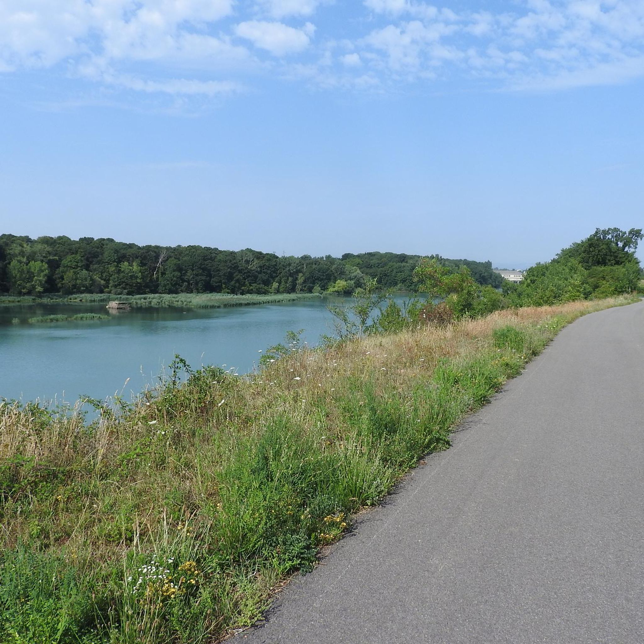
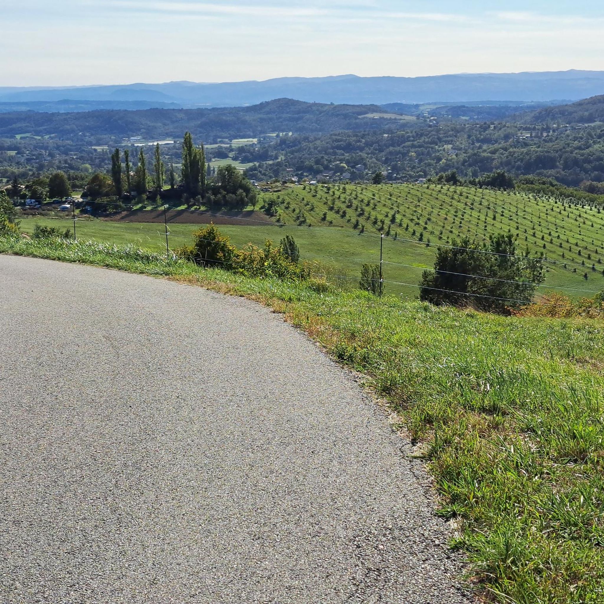
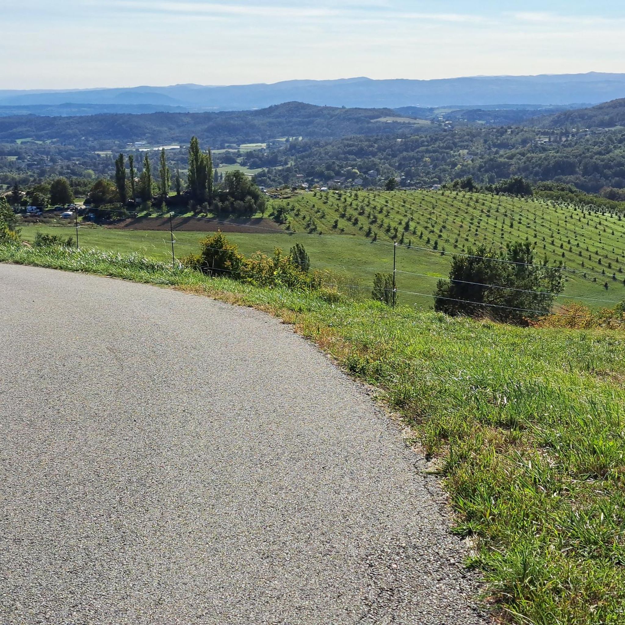
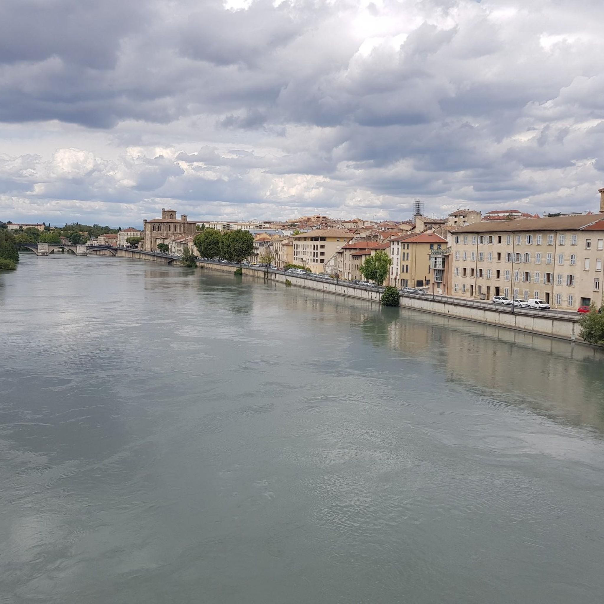

Tips from the Community

Secondary road with very little traffic and mediocre asphalt. Partly it runs along the hill with magnificent views of the Vercors and the Royans, partly in narrow sunken lanes. Fast descents are less possible due to the narrow road width and a number of adjacent houses and farms.
0
0

On the Chemin de Papillion there are several beautiful views of the neighboring heights. Here, at practically the highest point of the ridge, the view extends into the wide Rhône plain. Very nice at sunset.
0
0

Saint-Michel-sur-Savasse is a small town typical of the region. Surrounded by ridges called “feytas”, the village is in the center of a small valley where the Savasse flows. You will find meadows and orchards in the surroundings. The town offers superb views of the Vercors, the Isère plain or the foothills of the Ardèche.
0
0

Multiple paths winding all over the hill there is something for all tastes and all levels
1
0
Frequently Asked Questions
How many hiking trails are available around Geyssans?
There are over 100 hiking routes around Geyssans, offering a wide range of experiences. You'll find approximately 46 easy trails, 69 moderate routes, and a few more challenging options to explore the diverse landscapes of the Drôme des Collines.
What kind of landscapes can I expect to see while hiking in Geyssans?
Hiking in Geyssans offers diverse landscapes characterized by undulating terrain, lush forests, rolling hillsides, and tranquil streams like the Savasse and Drivette. The area is part of the 'Drôme des Collines' hills, providing picturesque backdrops and engaging routes. You can also enjoy panoramic views of the Vercors plateau and Monts du Matin mountains from various points, including the Croix de Gruyère Pass.
Are there any circular hiking routes in Geyssans?
Yes, many trails around Geyssans are designed as loops, allowing you to start and finish at the same point. Examples include the Mours Hills – Sallmard Castle loop from Valence, which offers views of Château de Sallmard, and the Route des Crêtes loop from Parnans, leading through varied terrain.
What are some good options for family-friendly hikes in Geyssans?
Geyssans offers several accessible paths suitable for families. Many routes are moderate in difficulty and can be completed within a couple of hours, with elevation gains of up to 1,000 feet. These trails wind through forests and hills, providing an enjoyable experience for most fitness levels. Look for routes described as 'easy' or 'moderate' for the best family options.
Can I bring my dog on the hiking trails in Geyssans?
Many trails in the Geyssans area are dog-friendly, allowing you to enjoy the outdoors with your canine companion. It's always recommended to keep dogs on a leash, especially in areas with livestock or wildlife, and to check specific trail regulations before you go.
What are some interesting places to explore or landmarks near the hiking trails?
Beyond the trails, Geyssans and its surroundings offer cultural and natural points of interest. You can visit the ancient chapel of Saint-Ange for views of the Rhône Valley, or explore the local château. Nearby attractions include the Historic centre of Romans-sur-Isère, the historic site of Saint-Antoine-l'Abbaye, and the Col de la Madeleine (Chambarans).
What is the best time of year to go hiking in Geyssans?
The region around Geyssans is enjoyable for hiking throughout much of the year. Spring and autumn offer pleasant temperatures and vibrant scenery, with blooming wildflowers or colorful foliage. Summer can be warm, so early morning or late afternoon hikes are often preferred. Winter hiking is possible, but trails may be muddy or icy, requiring appropriate gear.
What do other hikers enjoy most about hiking in Geyssans?
The hiking experience in Geyssans is highly rated by the komoot community, with an average score of 4.4 stars from over 150 reviews. Hikers often praise the region's diverse and undulating terrain, the peaceful forests, and the panoramic views of the Vercors plateau and Monts du Matin mountains. The well-maintained and accessible paths are also frequently highlighted.
Are there any easy hiking routes for beginners in Geyssans?
Yes, Geyssans offers approximately 46 easy routes suitable for beginners or those looking for a more relaxed walk. These trails typically have minimal elevation gain and are shorter in distance, allowing you to enjoy the natural beauty without strenuous effort. The Bellevue and the Hillsides Trail is a moderate option that is well-regarded and manageable for many.
Where can I find parking at the trailheads in Geyssans?
Many trailheads in and around Geyssans offer designated parking areas. While specific parking details vary by route, most popular starting points for hikes are accessible by car. It's advisable to check the individual route descriptions on komoot for precise parking information for your chosen trail.
Are there any public transport options to reach hiking trails in Geyssans?
While Geyssans is a smaller commune, public transport options exist in the broader Drôme department. For specific trailheads, it's best to research local bus services or regional transport links that might connect to nearby towns or villages, from which you can access the trails. However, many routes are more easily reached by car.
Most popular attractions around Geyssans

Get inspired with the komoot mobile app


Explore more
Browse the best Hikes in other regions.
