The best walks and hikes around Oberhergheim
4.6
(4125)
18,521
hikers
410
hikes
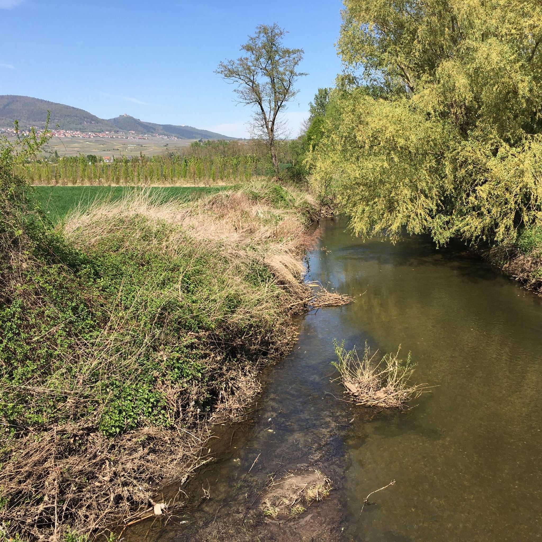
Hiking around Oberhergheim offers access to diverse landscapes in France's Alsace region. The area is characterized by the flat Rhine plain to the east and the foothills of the Vosges Mountains to the west. The village itself is crossed by the Ill River and the Vauban canal, with surrounding areas featuring vineyards and agricultural fields. This varied terrain provides a range of hiking experiences.
Best hiking trails around Oberhergheim
- The most popular hiking route is Kreuzweg – Gueberschwihr loop from…
Last updated: July 1, 2026
4.7
(31)
86
hikers
7.55km
02:14
210m
210m
Moderate hike. Good fitness required. Easily-accessible paths. Suitable for all skill levels.
4.3
(12)
36
hikers
7.79km
02:15
190m
190m
Moderate hike. Good fitness required. Easily-accessible paths. Suitable for all skill levels.

Sign up for free
5.0
(6)
20
hikers
Hard hike. Very good fitness required. Mostly accessible paths. Sure-footedness required.
4.7
(3)
83
hikers
8.93km
02:44
290m
290m
Moderate hike. Good fitness required. Mostly accessible paths. Sure-footedness required.
4.5
(4)
30
hikers
9.92km
02:57
290m
290m
Moderate hike. Good fitness required. Mostly accessible paths. Sure-footedness required.
Get access to more routes and recommendations from other explorers.
Sign up for free
Already have an account?
Our route recommendations are based on thousands of hikes, rides, and runs completed by other people on komoot.
Start today with a free account
Your next adventure awaits.
Login or Signup
Tips from the Community

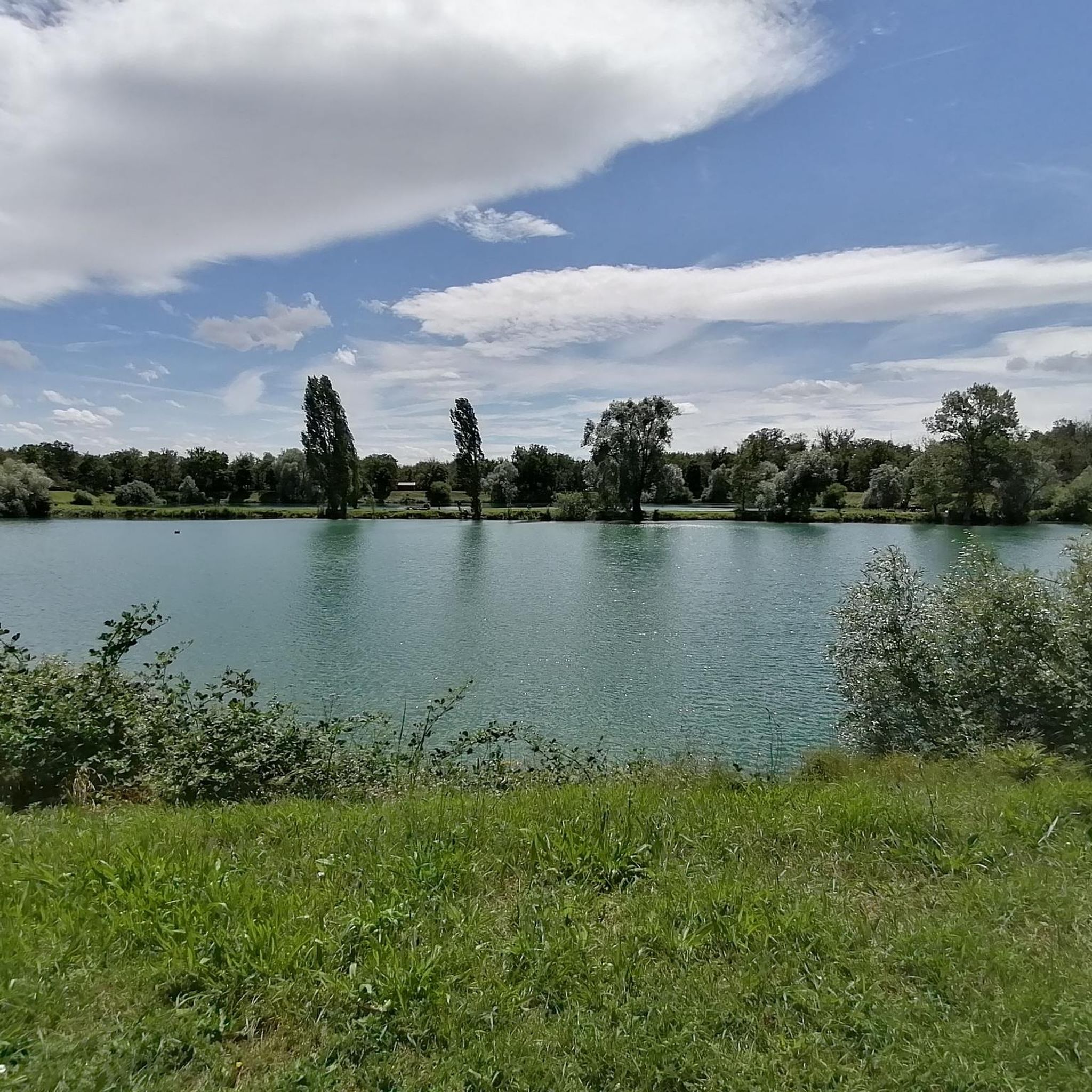
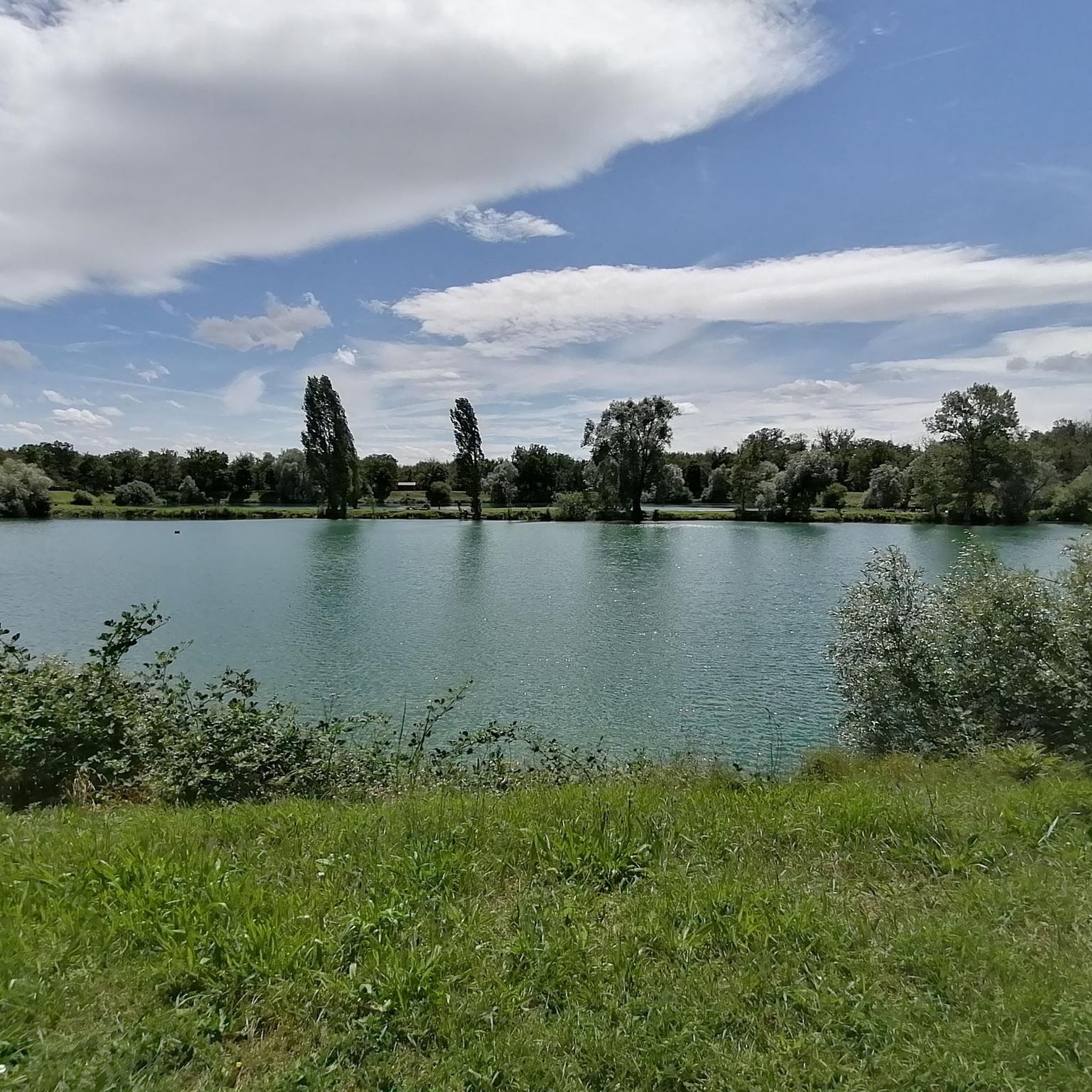
Nice view, a shame there is no bench or table
0
0

Ancient boundary marker + engraved rock (on the ground), in pink sandstone. Located on the route of the Great Mystical Walk, 45 minutes from the Schauenberg.
0
0

A 15th-century legend attributes the scratches on this rock to the devil, who, during the expansion of the Schauenberg chapel in 1515, tried to throw the stone onto the construction site. Suddenly softened, it could not be lifted, hence the presence of prints and its name “devil's stone.”
0
0

Sarcophagi from the Merovingian period were discovered near the church, as well as a burial ground from that period in the vineyards of Petit Pfaffenheim. It was first mentioned in 1186 as Pfaphinheim. The place name Petit-Pfaffenheim in the vineyards east of the village recalls the abandoned small settlement of Klein Pfaffenheim. No traces remain of the castles of Presteneck, Hertenfels, and Meyenheim known from the documents; at Laubeck, only the remains of a round tower and the moat remain. A leper hospital is mentioned in 1578.
1
0

Absolutely stunning and charming historical village! The buildings are not only beautiful, but also so well preserved. It was very quiet when I was there - probably just because it was a Sunday. Nevertheless, it didn't seem as "full" as some as the other villages along the route. That's a great thing for sightseeing, but maybe not so great if you're looking for food or supplies.
1
0

At the top of the hill at the crossroads you have a parking lot and a nice stone picnic table.
5
0
This well-preserved city gate marks the historic entrance to the old town of Gueberschwihr. Originally built as part of the medieval defensive structure, the gate today offers an atmospheric view of cobbled streets and half-timbered houses. A photogenic point that perfectly introduces your passage through this charming wine village.
7
0

The Langenstein menhir (a 4-meter-high long stone) was erected in 1904 by a Soultzmatt industrialist, who recognized this block as an overturned menhir. Legend tells that on full moon nights, fairies, or White Ladies, come to dance around the Langenstein. During this ceremony, the stone is said to begin spinning!
0
0
Frequently Asked Questions
How many hiking trails are available around Oberhergheim?
There are over 400 hiking routes available around Oberhergheim, catering to various skill levels. This includes more than 200 easy routes, 180 moderate routes, and over 20 difficult trails for experienced hikers.
What types of landscapes can I expect to see while hiking near Oberhergheim?
The Oberhergheim area offers a diverse range of landscapes. You can expect to hike through the flat Rhine plain, along the Ill River and Vauban canal, and into the foothills of the Vosges Mountains. Many routes also traverse picturesque vineyards and agricultural fields, providing varied scenery throughout the seasons.
Are there hiking options suitable for families or beginners?
Yes, Oberhergheim offers plenty of easy hiking options perfect for families and beginners. With over 200 easy routes, you can find gentle paths through vineyards or along riverbanks. These trails are generally less strenuous and provide a pleasant outdoor experience for all ages.
Can I bring my dog on the hiking trails around Oberhergheim?
Many trails in the Oberhergheim area are dog-friendly, allowing you to enjoy the natural beauty with your canine companion. However, it's always recommended to keep dogs on a leash, especially when passing through vineyards, agricultural areas, or near livestock, and to check local regulations for specific routes.
Are there any circular hiking routes near Oberhergheim?
Yes, many of the hiking routes around Oberhergheim are circular, offering convenient starting and ending points. For example, the Kreuzweg – Gueberschwihr loop from Pfaffenheim is a popular circular trail that provides scenic views of the vineyards.
What natural attractions or landmarks can I discover on hikes?
While hiking near Oberhergheim, you can explore various natural monuments. Highlights include the Langenstein Menhir, the Fontaine de la Dame, and the impressive Grossfels Rocks. These sites offer unique points of interest along your journey.
Are there historical sites or castles to explore while hiking?
Absolutely. The region around Oberhergheim is rich in history and features several castles and historical sites. You can visit the iconic Three Castles of Eguisheim or the impressive Hohlandsbourg Castle. These offer a glimpse into the area's past and often provide panoramic views.
What is the best time of year to go hiking in the Oberhergheim area?
The best time to hike in the Oberhergheim area is generally from spring through autumn. During these seasons, the weather is pleasant, and the vineyards are lush or vibrant with autumn colors. The region's diverse landscapes, from the Rhine plain to the Vosges foothills, offer beautiful scenery that changes with the seasons.
What do other hikers say about the trails around Oberhergheim?
The hiking routes around Oberhergheim are highly rated by the komoot community, with an average score of 4.6 stars from over 3,600 reviews. Hikers frequently praise the well-maintained paths, the stunning vineyard views, and the peaceful atmosphere of the region's diverse landscapes.
Are there challenging hikes for experienced hikers?
Yes, for experienced hikers seeking a challenge, there are difficult routes available. A notable example is the Zinnkoepflé Viewpoint – Chapelle Schaeffertal loop from Rouffach, a 22.4 km trail with significant elevation gain, offering panoramic views and a rewarding experience.
Is public transport available to reach hiking trailheads near Oberhergheim?
While Oberhergheim itself is a tranquil village, its strategic location in the Haut-Rhin department means that nearby towns and villages, which serve as starting points for many trails, may be accessible by local bus services. For detailed public transport information to specific trailheads, it's best to consult local transport schedules for the Alsace region.
Where can I find parking for hiking trails around Oberhergheim?
Parking is generally available in or near the villages that serve as starting points for hiking trails, such as Pfaffenheim or Rouffach. Look for designated public parking areas or spaces near local amenities. Specific parking information for individual trailheads might be available on komoot tour pages or local tourism websites.
Most popular routes around Oberhergheim
Most popular attractions around Oberhergheim

Get inspired with the komoot mobile app


Explore more
Browse the best Hikes in other regions.
