The best running trails around Merxheim
4.4
(137)
9,999
runners
490
runs
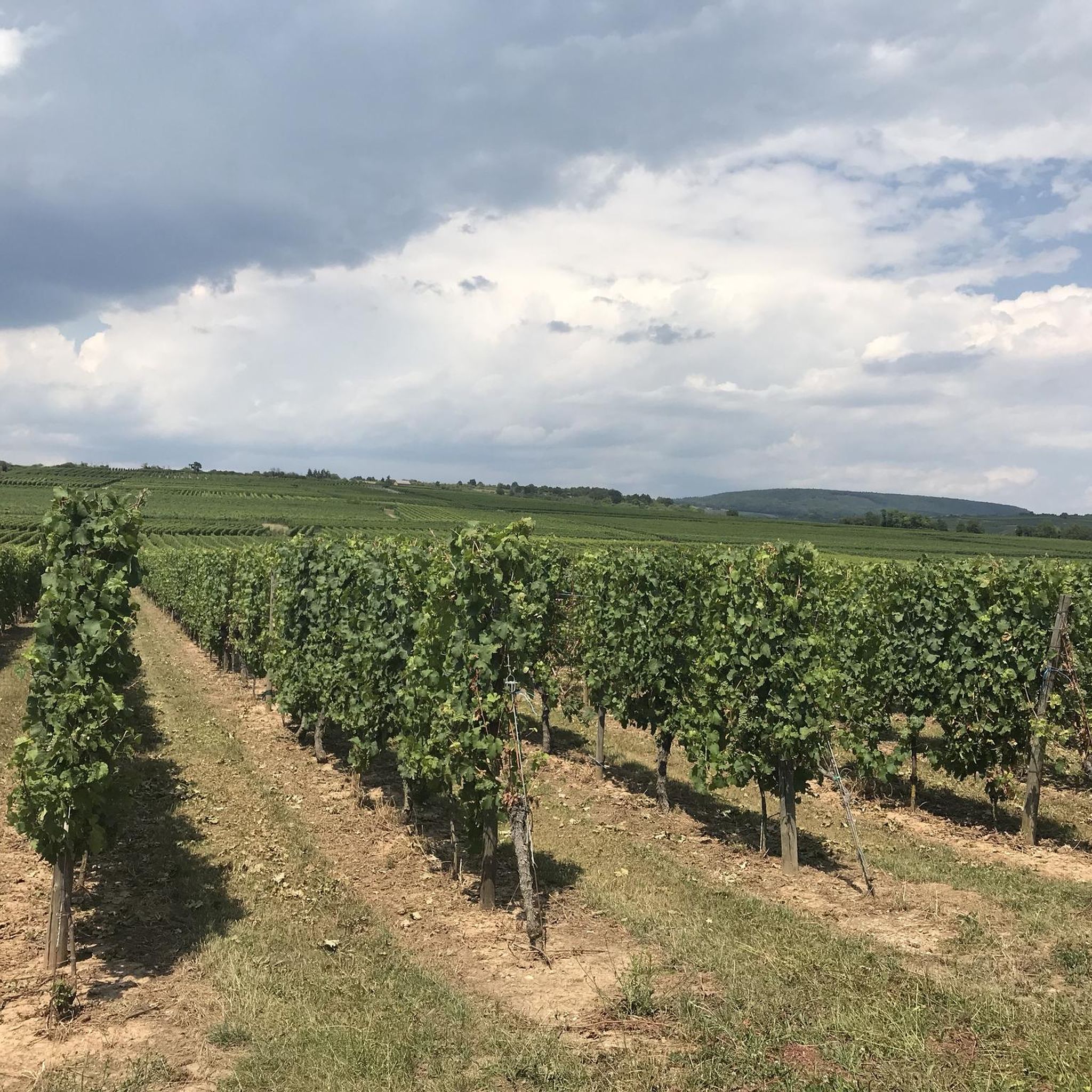
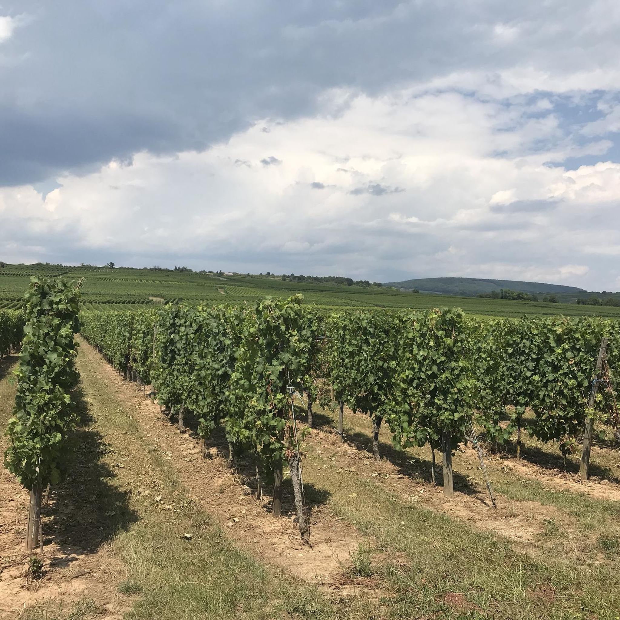
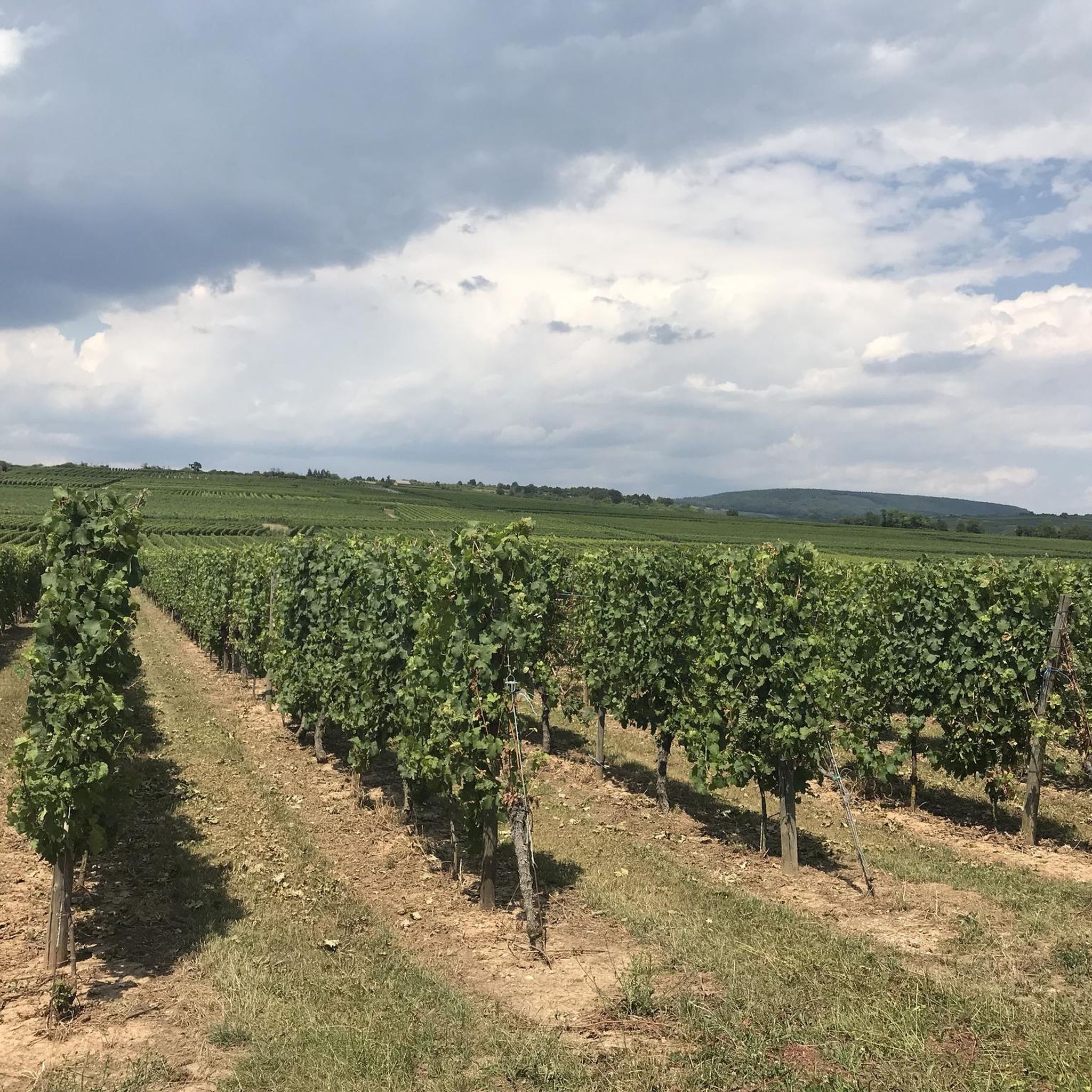
Jogging around Merxheim offers diverse landscapes for runners. The region is characterized by its location along the Nahe River, providing serene riverside paths. Extensive vineyards cover the surrounding areas, creating trails with expansive views. Additionally, forested slopes and varied topography, including gently rolling hills, contribute to a mix of running environments.
Best jogging routes around Merxheim
- The most popular jogging route is Gertais bicycle path loop from Meyenheim, a 20.8 miles (33.5 km) trail that takes 3 hours 28…
Last updated: June 28, 2026
82
runners
33.6km
03:31
40m
40m
Hard run. Very good fitness required. Mostly paved surfaces. Suitable for all skill levels.
65
runners
13.6km
01:33
300m
300m
Moderate run. Good fitness required. Mostly paved surfaces. Suitable for all skill levels.

Sign up for free
63
runners
Moderate run. Good fitness required. Mostly paved surfaces. Suitable for all skill levels.
33
runners
14.2km
01:32
30m
30m
Moderate run. Good fitness required. Mostly paved surfaces. Suitable for all skill levels.
5.0
(1)
19
runners
Moderate run. Good fitness required. Mostly paved surfaces. Suitable for all skill levels.
Get access to more routes and recommendations from other explorers.
Sign up for free
Already have an account?
Our route recommendations are based on thousands of hikes, rides, and runs completed by other people on komoot.
Start today with a free account
Your next adventure awaits.
Login or Signup
Tips from the Community

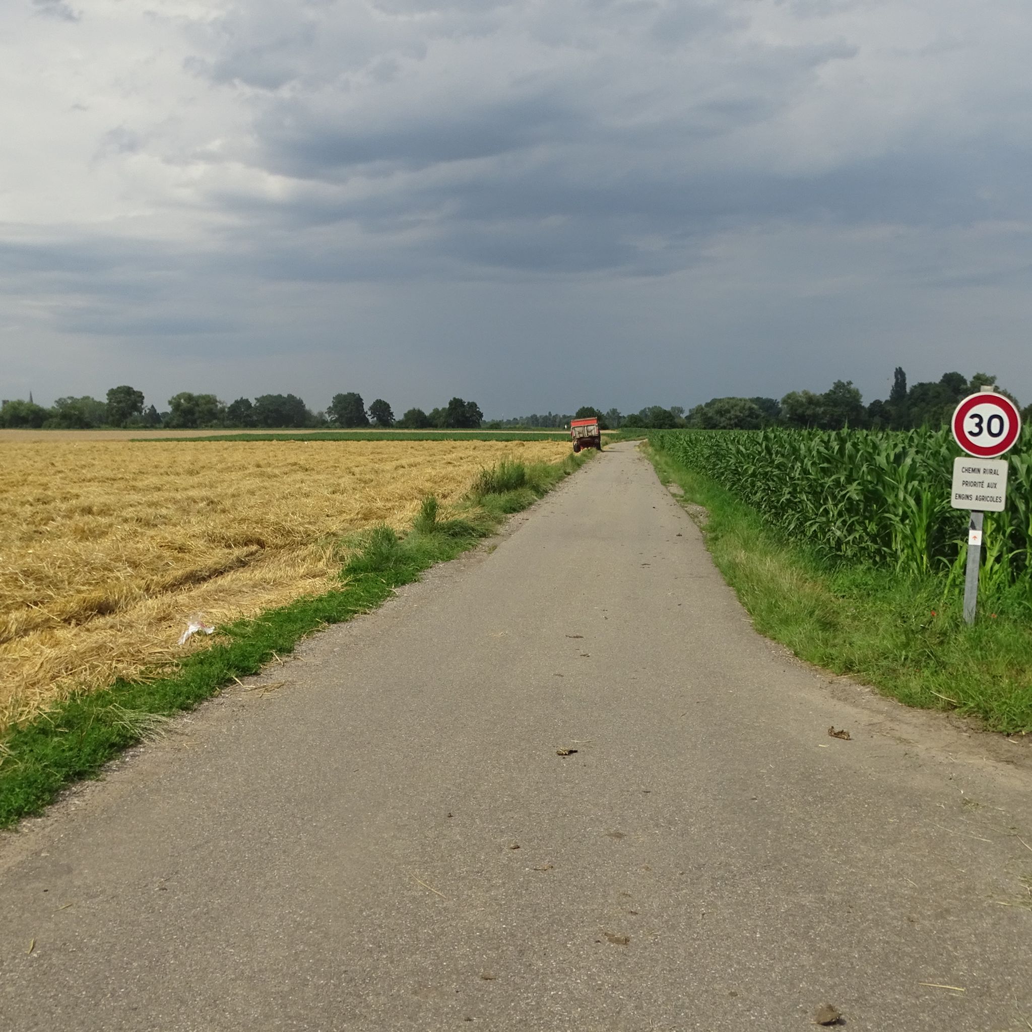
Nice track with a good surface for rollerblading overall.
0
0

A photogenic place, otherwise it's just a simple bridge.
1
0

In 1904, a rich deposit of potash was discovered by Amélie and Albert Zürcher, Joseph Vogt and Jean-Baptiste Grisez. The epic tale of Alsace’s potash mines begins. In recent decades, 11 mining sites have ceased operations one after the other. Thanks to a certain anticipation of the end of this industry and the work of volunteers from the “Groupe Rodolphe” association, the Écomusée d'Alsace manages to save a “tile” that of the Rodolphe mine which was the most important site of exploitation established by the company of Mines of Kali Sainte Thérèse, from 1911. The mine stopped in 1976 and a large part of the installations were able to be preserved. For more than 25 years, the Groupe Rodolphe association, living memory of the place, has maintained, rehabilitated and highlighted this rich heritage to make it the Historic Potash Mining Center. Visiting the tile is a moment of intense emotion. The miners of the Rodolphe Group will make you relive the epic of the Potash Mines of Alsace and share their passion with the testimony of their experiences at the bottom of the mine. During this visit, they will take you on a journey in the footsteps of the potash miner, through reconstructions of production sites, to discover the 2 headframes and 2 extraction machines from 1912 and 1928, perfectly restored and in working order. walk. But you will also see surface installations that allowed ore processing and a complete and unique set of mining machines dating from the 1950s to 2004.
3
0


This section of cycle path follows an old railway line. As shown by the beautiful railway bridge where it begins. In Ensisheim, it ends at the lake of an old gravel pit which invites you to stop for a moment.
3
0

The cycle path is beautiful, with a part that follows old railway lines. You can ride from the lake to the river at the end.
2
0

Very nice quiet and relaxing place
2
0

Pretty bathing lake with a landscaped park at the end of Ensisheim.
2
0
Frequently Asked Questions
How many running routes are available around Merxheim?
There are over 450 running routes around Merxheim, offering a wide variety of options for all skill levels. The komoot community has explored these trails over 9,000 times, giving them an average rating of 4.3 stars.
What kind of landscapes can I expect on the jogging trails in Merxheim?
Merxheim's jogging trails offer a diverse mix of landscapes. You can enjoy serene riverside paths along the Nahe River, expansive views through vineyards, and shaded forest trails. The region's varied topography includes flat sections, gently rolling hills, and some routes with uphill sections offering scenic viewpoints.
Are there easy running routes suitable for beginners in Merxheim?
Yes, Merxheim offers a good selection of easy running routes. There are 33 routes classified as 'easy', perfect for beginners or those looking for a relaxed run. These often include flat sections along the riverbanks or through less challenging vineyard areas.
Can I find circular running routes in the Merxheim area?
Absolutely. Many of the trails around Merxheim are circular, allowing you to start and finish at the same point. For example, the 'Winchendeller Weiher' is an 8.8 km to 9 km circular route that passes through the village and a mixed deciduous forest, offering a viewpoint over the Nahe valley.
What are some scenic viewpoints or landmarks I can see while running in Merxheim?
Several routes incorporate stunning viewpoints. You can find vistas into the Nahe valley and the distant Soonwald from various elevated points. For example, the 'Winchendeller Weiher' route includes a viewpoint above Merxheim. Additionally, you might encounter highlights like the Viewpoint at the summit of Vieil Armand or the Roche Sermet, which are nearby attractions.
What is the best time of year for running in Merxheim?
The best seasons for outdoor activities like running in Merxheim are spring and autumn. In spring, you'll experience blooming flowers and fresh greenery, while autumn offers a spectacular display of colorful foliage across the vineyards and forests, making for a visually rewarding experience.
Are there any long-distance or challenging running routes in Merxheim?
Yes, for those seeking a challenge, Merxheim has several difficult routes. One notable challenging option is the Gertais bicycle path loop from Meyenheim, a 33.5 km trail that provides a long-distance experience through the regional landscape.
Are there any routes that offer views of the Black Forest?
Yes, some routes provide distant views. The Trail track – View towards the Black Forest loop from Issenheim is a moderate 13.6 km path that offers varied terrain and scenic views, including those distant vistas.
What are some moderate running options in the area?
Merxheim has a large selection of moderate running routes, with nearly 300 options. A popular choice among local runners is the Bike path to Ensisheim – Beautiful blue metal bridge loop from Ungersheim, a 14.2 km trail leading through varied terrain.
Are there any historical sites or monuments near the running trails?
Yes, you might encounter historical sites or monuments. For instance, the Roche Sermet and the Langenstein Menhir are nearby attractions that could be explored in conjunction with your run.
What types of natural features can I expect to see on the trails?
The trails in Merxheim showcase a variety of natural features. You'll find the tranquil Nahe River, extensive vineyards, and lush mixed deciduous forests. Some routes also feature ponds, such as the 'Winchendeller Weiher', adding to the natural beauty.
Is there public transport access to the running routes in Merxheim?
Merxheim is a village in the Bad Kreuznach region. While specific public transport connections to trailheads might vary, the village itself is generally accessible. For detailed information on public transport options to Merxheim, it's advisable to check local transport schedules.
Are there routes that pass by a 'beautiful blue metal bridge'?
Yes, there are routes that feature this distinctive landmark. The Beautiful blue metal bridge loop from Ungersheim is a moderate 14.1 km route that includes this scenic bridge.
Most popular attractions around Merxheim

Get inspired with the komoot mobile app


Explore more
Browse the best Running Trails & Routes in other regions.
