The best MTB trails around Fröningen
4.4
(587)
2,577
riders
348
rides
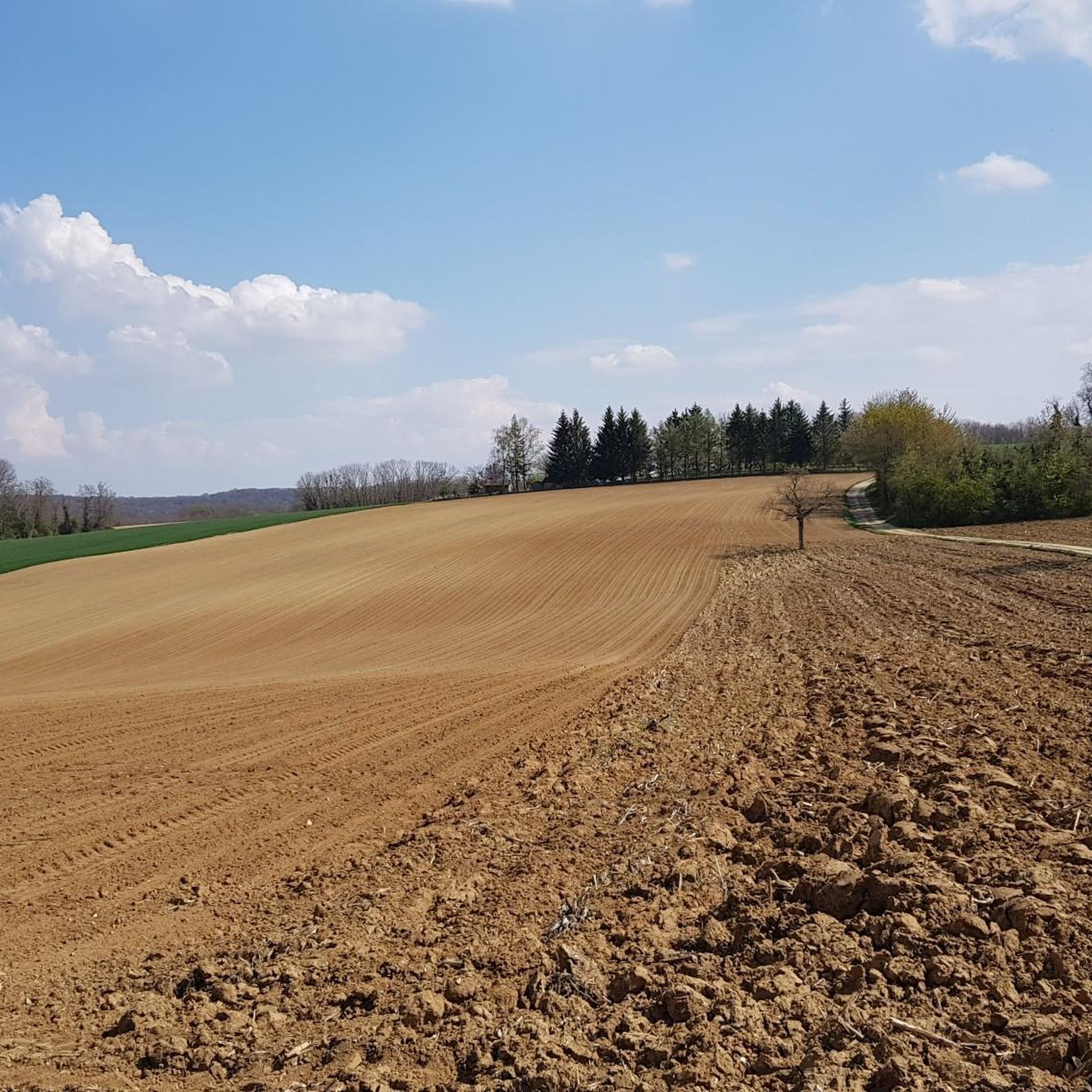
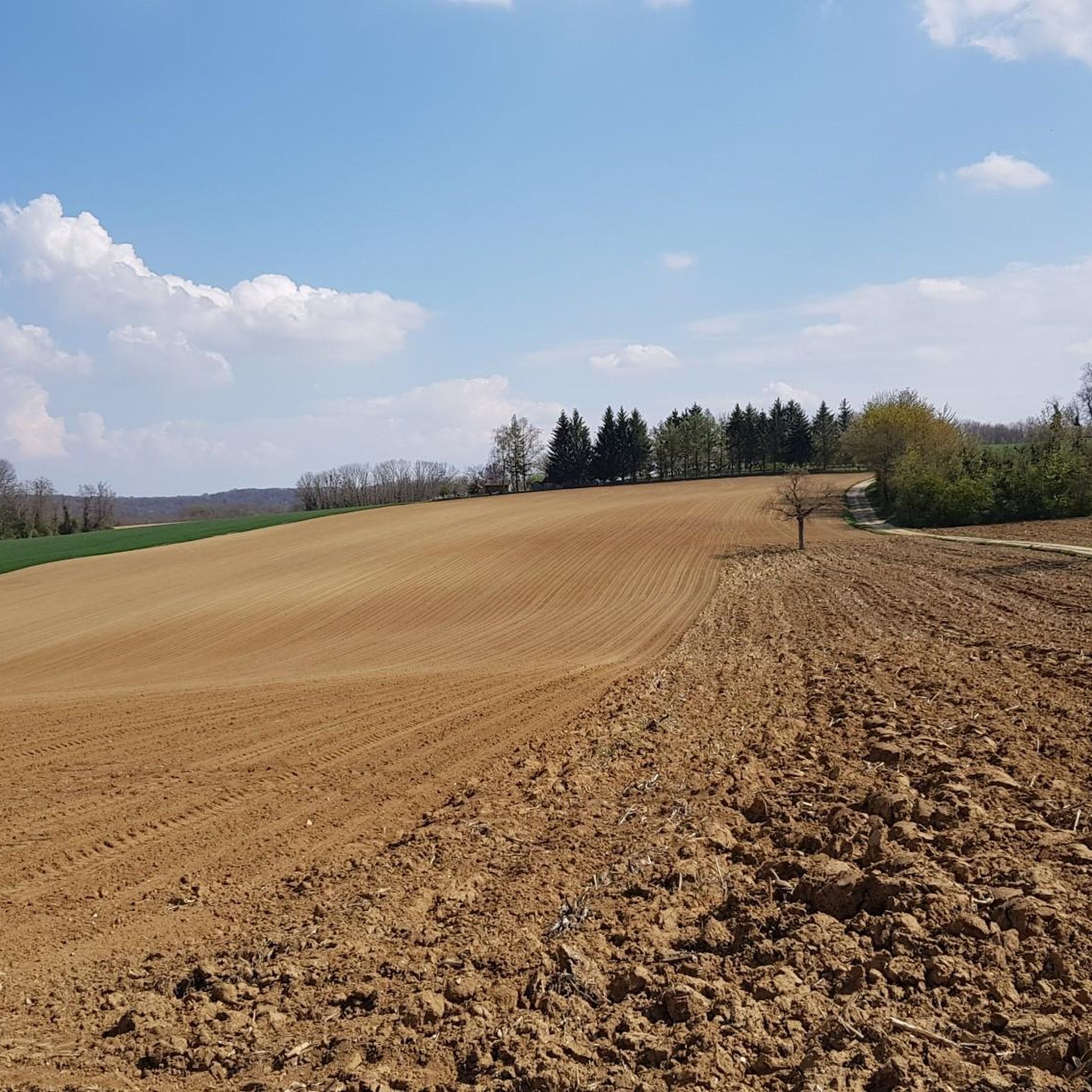
Mountain biking around Fröningen offers a diverse landscape characterized by rolling hills and forested areas, providing varied terrain for riders. The region features a network of trails with elevation changes, ranging from gentle ascents to more challenging climbs. This environment supports a range of mountain biking experiences, from leisurely rides through woodlands to routes with notable elevation gain.
Best mountain bike trails around Fröningen
- The most popular mountain bike trail is Nice trailhead – Riedweiher Pond loop from Illfurth,…
Last updated: July 15, 2026
4.8
(5)
10
riders
40.9km
03:27
570m
570m
Moderate mountain bike ride. Good fitness required. Advanced riding skills necessary.
4.8
(6)
11
riders
15.2km
01:20
240m
240m
Easy mountain bike ride. Great for any fitness level. Suitable for all skill levels.

Sign up for free
4.3
(6)
21
riders
28.1km
01:32
70m
70m
Easy mountain bike ride. Great for any fitness level. Suitable for all skill levels.
4.0
(1)
13
riders
Easy mountain bike ride. Great for any fitness level. Suitable for all skill levels.
4.5
(2)
12
riders
46.1km
03:49
630m
620m
Moderate mountain bike ride. Good fitness required. Suitable for all skill levels.
Get access to more routes and recommendations from other explorers.
Sign up for free
Already have an account?
Our route recommendations are based on thousands of hikes, rides, and runs completed by other people on komoot.
Start today with a free account
Your next adventure awaits.
Login or Signup

Tips from the Community

Many walking opportunities nearby
0
0

The German soldiers who died in the Battle of Mühlhausen in August 1914 are buried there, including the first casualty of World War I. It's a bit off the beaten track and very well maintained.
0
0

The French and European National Cycleway is a great cycleway winding along side of the Rhine Rhone Canal with very little climbing, for those who do not like to climb. However those who are climbing shy, must be aware of the wind in this area. A lot of the locks still have the former lock man’s house which adds a bit of charm to every lock. One is never alone on this route as there is a constant passing of bicycles, both leisure and racing bikes.
0
0

Beneath the forest canopy, you can discover numerous traces of bygone times, still visible or legible; only the "barracks" have disappeared. During a guided tour with one of the site's enthusiastic volunteers, you can explore the underground tunnels and discover the organization of this impressive military infrastructure. Of course, you can also visit the surface infrastructure yourself, following the marked route, where the panels provide detailed explanations. An application, "Site du Grand Canon de Zillisheim," is also available for download.
5
0
The Illfurth German War Cemetery was established by the French military authorities in April 1920. As a collective cemetery, it housed some of the fallen soldiers from the battles of August 7 and 17, 1914. The transfer of war dead to Illfurth, who had been provisionally buried in 64 municipalities and districts during the war or who had died in French captivity, ended in 1924. Among those reburied was the first German casualty of the 1914-1918 War on the Western Front, Lieutenant Albert Mayer, who fell on August 2, 1914, while on patrol. The first French soldier also lost his life in this battle. Several memorials erected in field cemeteries during the war were also relocated to Illfurth.
8
0

The castle fits nicely into the panorama. But I didn't go there.
0
0

The Écluse d’Eglingen is a small, active lock on the Canal du Rhône au Rhin, near the village of Eglingen in the Sundgau region. This spot is popular with cyclists due to its quiet location along the 'EuroVelo 6' and regional cycle routes. The lock is surrounded by greenery and offers a bench and shade, but no facilities.
9
0

A few more photos and texts can be found in the corresponding hiking highlight in the komoot system, under the title "Chapelle Notre-Dame-des-Neiges" it can be reached with the following link =>>https://www.komoot.com/de-de/highlight/3297592
0
0
Frequently Asked Questions
How many mountain bike trails are available around Fröningen?
There are over 350 mountain bike trails around Fröningen. This includes approximately 100 easy routes, 240 moderate routes, and 17 challenging trails for experienced riders.
Are there mountain bike trails suitable for beginners in Fröningen?
Yes, Fröningen offers around 100 easy mountain bike routes. A good option for beginners is the Petit Séminaire de Zillisheim – Chapel of the Cross of Burn loop from Illfurth, which is 12.8 miles (20.7 km) long with minimal elevation gain, making it a gentle introduction to the area's terrain.
What kind of terrain can I expect on mountain bike trails in Fröningen?
The terrain around Fröningen is characterized by rolling hills and forested areas, offering a diverse mix of paths. You'll find varied elevation profiles, from gentle ascents to more demanding climbs and descents through woodlands. The region provides both technical sections and flowing passages.
Are there any loop mountain bike trails in Fröningen?
Yes, many of the mountain bike trails in Fröningen are designed as loops. For example, the popular Nice trailhead – Riedweiher Pond loop from Illfurth is a 26.3 miles (42.3 km) route that brings you back to your starting point, offering significant elevation gain through varied terrain.
What do other mountain bikers enjoy the most about mountain biking in Fröningen?
The mountain bike trails in Fröningen are highly rated by the komoot community, with an average score of 4.5 stars from over 500 reviews. Riders often praise the diverse landscape, which includes forested paths and rolling hills, as well as the varied elevation profiles that cater to different skill levels.
What are some interesting sights or landmarks along the mountain bike trails in Fröningen?
While riding around Fröningen, you can encounter several interesting points. For instance, the Grand Cannon of Zillisheim is a historical site that can be part of your route. Other nearby attractions include the Zillisheim Drawbridge and Lock No. 35 and the Eglingen Lock, which offer glimpses into the region's infrastructure and history.
What is the best time of year for mountain biking in Fröningen?
Spring and autumn are generally considered the best times for mountain biking in Fröningen. During these seasons, you can expect mild temperatures and vibrant vegetation, making for a more enjoyable riding experience. The forested areas provide good cover, and the trails are typically in excellent condition.
Are there any long-distance mountain bike routes in Fröningen?
Yes, Fröningen offers several longer mountain bike routes. A notable option is the Grand Chêne – The chapel path loop from Illfurth, which spans 29.1 miles (46.8 km) and involves substantial climbing and descending through forested landscapes, typically taking over 3 hours to complete.
Can I find mountain bike routes with significant elevation gain in Fröningen?
Absolutely. The region's rolling hills and varied topography mean many routes feature significant elevation changes. For example, the Nice trailhead – Riedweiher Pond loop from Illfurth includes over 1,800 feet (576 meters) of elevation gain, providing a good workout and rewarding views.
Are there any family-friendly mountain bike trails in Fröningen?
While specific family-friendly designations are not always available, the presence of numerous easy routes suggests options suitable for families. Look for trails with lower elevation gain and shorter distances, such as the Mulhouse Station – Petit Séminaire de Zillisheim loop from Zillisheim, which is 10.8 miles (17.4 km) long and has minimal elevation changes, making it more accessible for younger riders or those seeking a relaxed pace.
Is there parking available near the mountain bike trailheads in Fröningen?
While specific parking locations are not detailed for every trailhead, routes often start from towns or accessible points like Illfurth or Zillisheim, where public parking is generally available. It's advisable to check the starting point of your chosen route on komoot for more precise parking information.
Most popular routes around Fröningen
Most popular attractions around Fröningen

Get inspired with the komoot mobile app


Explore more
Browse the best MTB trails in other regions.
