The best road cycling routes around Battenheim
4.4
(444)
9,455
riders
267
rides
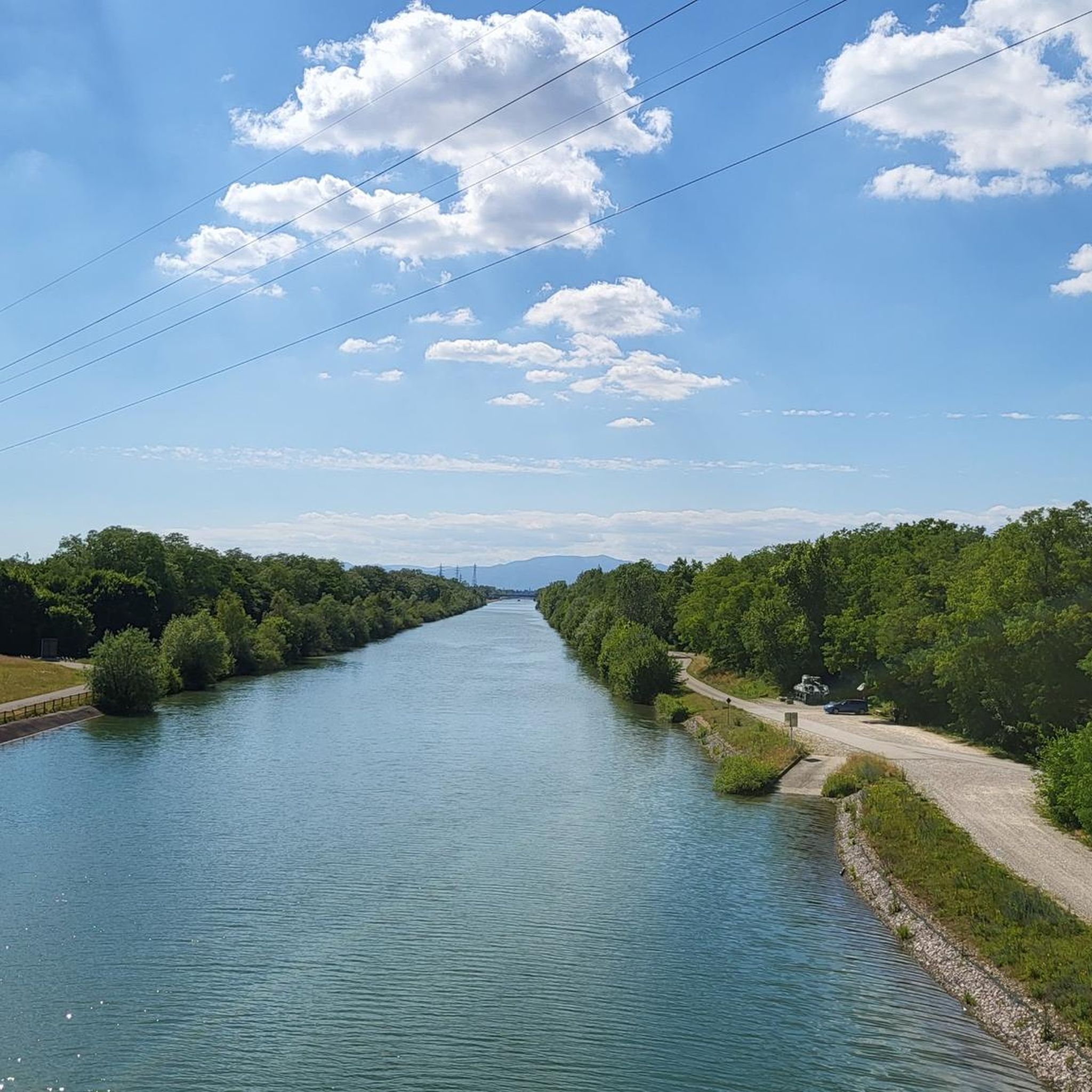
Road cycling routes around Battenheim traverse a landscape characterized by the Thur River and the Rhône–Rhine Canal, offering varied terrain for cyclists. The region features a mix of flat river and canal paths, alongside routes that include ascents towards nearby hills and cols. This combination provides opportunities for both leisurely rides and more challenging climbs. The area's geography supports a diverse network of road cycling routes.
Best road cycling routes around Battenheim
- The most popular road cycling route is Cycle…
Last updated: July 18, 2026
4.2
(5)
118
riders
63.9km
03:13
690m
690m
Moderate road ride. Good fitness required. Mostly well-paved surfaces and easy to ride.
4.6
(11)
134
riders
48.7km
02:06
180m
180m
Moderate road ride. Good fitness required. Mostly well-paved surfaces and easy to ride.

Sign up for free
4.5
(2)
67
riders
62.7km
03:13
710m
710m
Moderate road ride. Good fitness required. Mostly well-paved surfaces and easy to ride.
56
riders
Easy road ride. Great for any fitness level. Mostly well-paved surfaces and easy to ride.
26
riders
51.4km
01:58
90m
90m
Easy road ride. Great for any fitness level. Mostly well-paved surfaces and easy to ride.
Get access to more routes and recommendations from other explorers.
Sign up for free
Already have an account?
Our route recommendations are based on thousands of hikes, rides, and runs completed by other people on komoot.
Start today with a free account
Your next adventure awaits.
Login or Signup


Tips from the Community


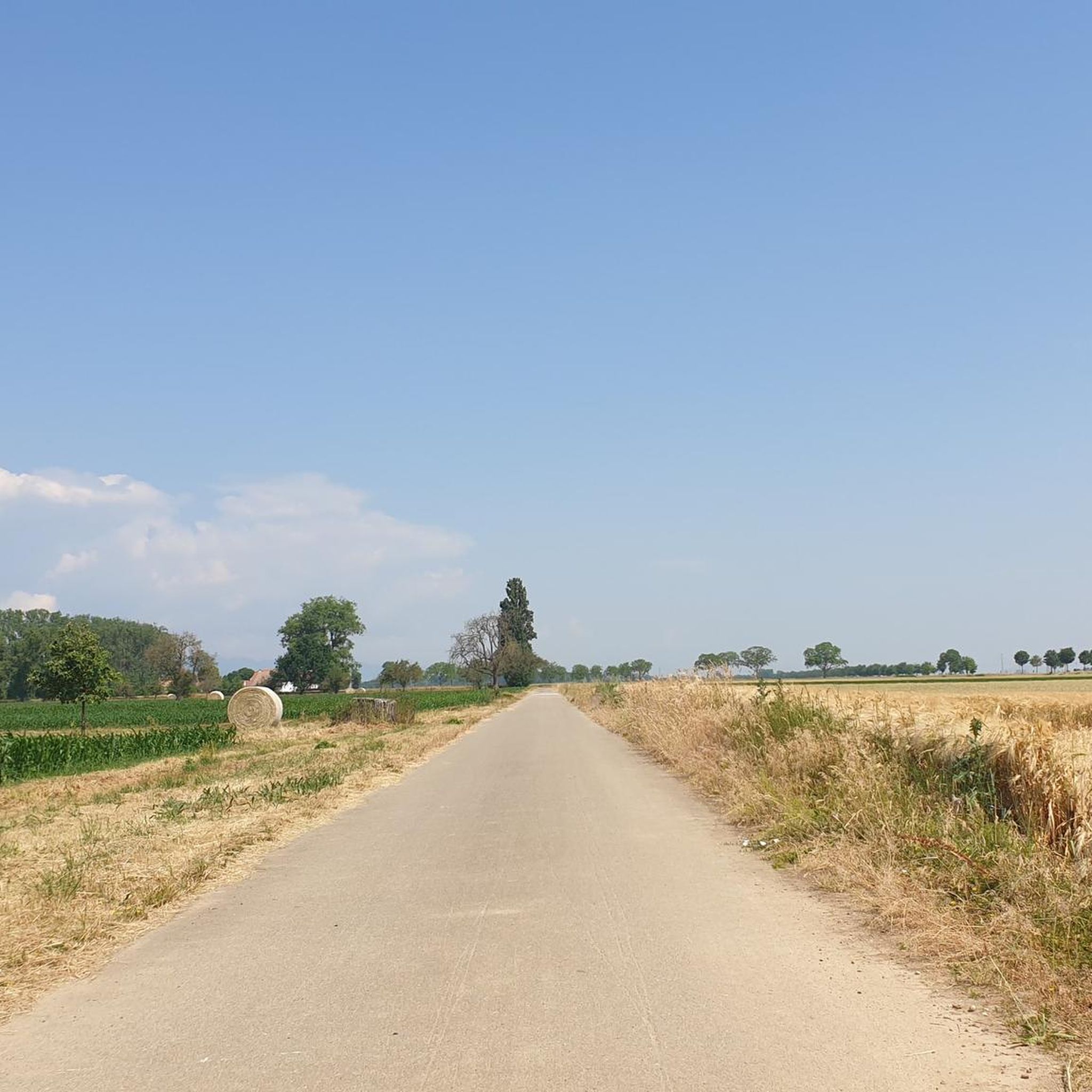
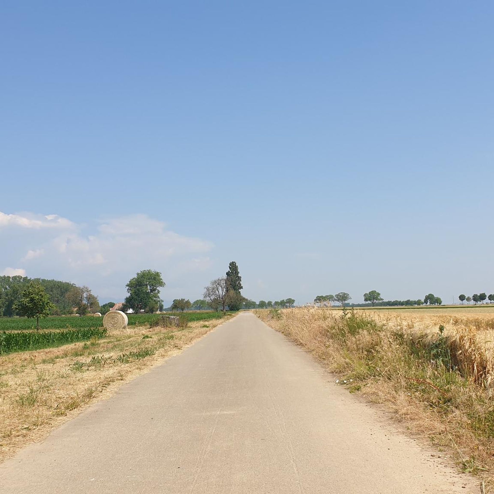
The VV221 cycle route is part of the EuroVélo 5 network and begins in Ensisheim at the Thur bridge and ends in Cernay after about 17 km. The route initially runs alongside the road, then past ponds and finally through a wooded area. It runs alongside the Thur and passes the Alsatian Ecomuseum (another route leads to Ungersheim via the Petit Prince Park). The Green Route then winds along the Thur, passing Pulversheim, Staffelfelden, and Wittelsheim, and finally reaches Cernay, still along the Thur.
0
0
The VV221 cycle route is part of the EuroVélo 5 network and begins in Ensisheim at the Thur bridge and ends in Cernay after about 17 km. The route initially runs alongside the road, then past ponds and finally through a wooded area. It runs alongside the Thur and passes the Alsatian Ecomuseum (another route leads to Ungersheim via the Petit Prince Park). The Green Route then winds along the Thur, passing Pulversheim, Staffelfelden, and Wittelsheim, and finally reaches Cernay, still along the Thur.
0
0

The castle fits nicely into the panorama. But I didn't go there.
0
0

very nice cycle path to Mulhouse without road proximity (no noise) pure nature
0
0

A very beautiful, narrow road through the forest with a pleasant incline. Very secluded, with hardly any traffic (at least during the week in early June 2025).
0
0

beautiful and away from traffic
0
0

The climb of the Col Amic from Soultz-Haut-Rhin is a beautiful and accessible climb in the Vosges, ideal for cyclists who love regularity and nature. The climb is 12.1 km long, bridges 559 meters of altitude and has an average gradient of 4.6%. The route winds through a quiet, wooded area and offers beautiful views of the Alsatian plain along the way. The summit is at 829 meters and forms a junction towards the Grand Ballon or the Hartmannswillerkopf massif. Thanks to its even profile, this climb is suitable for both recreational cyclists and athletic climbers.
6
0
Frequently Asked Questions
What kind of terrain can I expect on road cycling routes around Battenheim?
The region around Battenheim offers a diverse landscape for road cyclists. You'll find numerous routes along the flat paths of the Thur River and the Rhône–Rhine Canal, perfect for leisurely rides. Additionally, there are routes that include ascents towards nearby hills and cols, providing more challenging climbs for those seeking elevation.
How many road cycling routes are there in the Battenheim area?
There are over 280 road cycling routes available around Battenheim, catering to various skill levels and preferences. This extensive network ensures plenty of options for exploration.
Are there road cycling routes suitable for beginners in Battenheim?
Yes, Battenheim offers a good selection of routes for beginners. Approximately 84 routes are classified as easy, often following the flat river and canal paths. An example of an easy route is the Rhône–Rhine Canal – Niffer Lock loop from Ruelisheim, which is 31.4 miles (50.6 km) long and features minimal elevation gain.
What are some challenging road cycling routes for advanced riders near Battenheim?
For advanced riders seeking a challenge, routes that include ascents to local cols are ideal. The region features 38 difficult routes. A notable option is the Ascent to Col Amic – Amic Pass loop from Baldersheim, a 38.8 miles (62.4 km) path with significant elevation gain, offering a rewarding climb.
Are there any circular road cycling routes around Battenheim?
Yes, many of the road cycling routes around Battenheim are designed as loops, allowing you to start and end at the same point. For instance, the popular Cycle Path with Blue Bridge – Thur River Cycle Path loop from Ruelisheim is a 30.5 miles (49.1 km) circular route along the Thur River.
What is the typical length of road cycling routes in Battenheim?
Route lengths vary significantly. You'll find shorter rides, but many popular routes range from 30 to over 40 miles (48 to 64 km). For example, the Chapel of Rammersmatt – Cycle Path with Blue Bridge loop from Ruelisheim is about 39.7 miles (63.8 km) long.
What attractions can I see along road cycling routes near Battenheim?
Many routes offer scenic views and pass by interesting landmarks. You might encounter the Neuenburg-on-Rhine Bridge, ride alongside the Rhône–Rhine Canal, or pass by the historic Abbey Church of St. Peter and St. Paul, Ottmarsheim. The region also features natural highlights like Wuhrloch Lake.
What do other road cyclists say about the routes in Battenheim?
The road cycling routes in Battenheim are highly regarded by the komoot community, holding an average rating of 4.37 stars from over 370 reviews. Cyclists often praise the varied terrain, from flat river paths to challenging ascents, and the well-maintained network of trails.
When is the best time of year for road cycling in Battenheim?
Spring through autumn generally offers the most pleasant conditions for road cycling in Battenheim, with milder temperatures and less chance of adverse weather. The flat sections along the rivers and canals can be enjoyed for much of the year, but for tackling the cols, warmer, drier months are preferable.
Are there any specific landmarks or natural monuments to look out for?
Beyond the main routes, you can explore various points of interest. Keep an eye out for the Hardt Battles Memorial or the impressive Rhein Bridge at the French-German Border. For natural sights, the Steinbach Square and Ziehlbrunnen Spring are also points of interest.
Are there road cycling routes that offer particularly scenic views?
Many routes in Battenheim are known for their scenic beauty, especially those following the Thur River and the Rhône–Rhine Canal, which offer picturesque waterside views. Routes that ascend to higher elevations also provide panoramic vistas of the surrounding landscape.
Most popular routes around Battenheim
Most popular attractions around Battenheim

Get inspired with the komoot mobile app


Explore more
Browse the best Road cycling routes in other regions.
