The best running trails around Nègrepelisse
4.7
(18)
1,311
runners
30
runs
Jogging around Nègrepelisse offers varied terrain, characterized by its location on the Aveyron River and the confluence with the Longues-Aygues brook. The region features elevations ranging from 79 to 207 meters, providing diverse challenges for runners. Green spaces like the 8-hectare Island of Nègrepelisse, a Sensitive Natural Area with a discovery trail, and the nearby Sarret State Forest contribute to a verdant setting for outdoor activities. The area is also crisscrossed by greenways, offering accessible paths for running.
Best jogging…
Last updated: June 29, 2026
8
runners
11.1km
01:08
30m
30m
Moderate run. Good fitness required. Mostly paved surfaces. Suitable for all skill levels.
5
runners
6.60km
00:41
10m
10m
Moderate run. Good fitness required. Mostly paved surfaces. Suitable for all skill levels.

Sign up for free
3
runners
10.3km
01:04
20m
20m
Moderate run. Good fitness required. Mostly paved surfaces. Suitable for all skill levels.
3
runners
10.2km
01:04
80m
80m
Moderate run. Good fitness required. Mostly paved surfaces. Suitable for all skill levels.
6
runners
8.86km
00:57
40m
40m
Moderate run. Good fitness required. Mostly paved surfaces. Suitable for all skill levels.
Get access to more routes and recommendations from other explorers.
Sign up for free
Already have an account?
Our route recommendations are based on thousands of hikes, rides, and runs completed by other people on komoot.
Start today with a free account
Your next adventure awaits.
Login or Signup
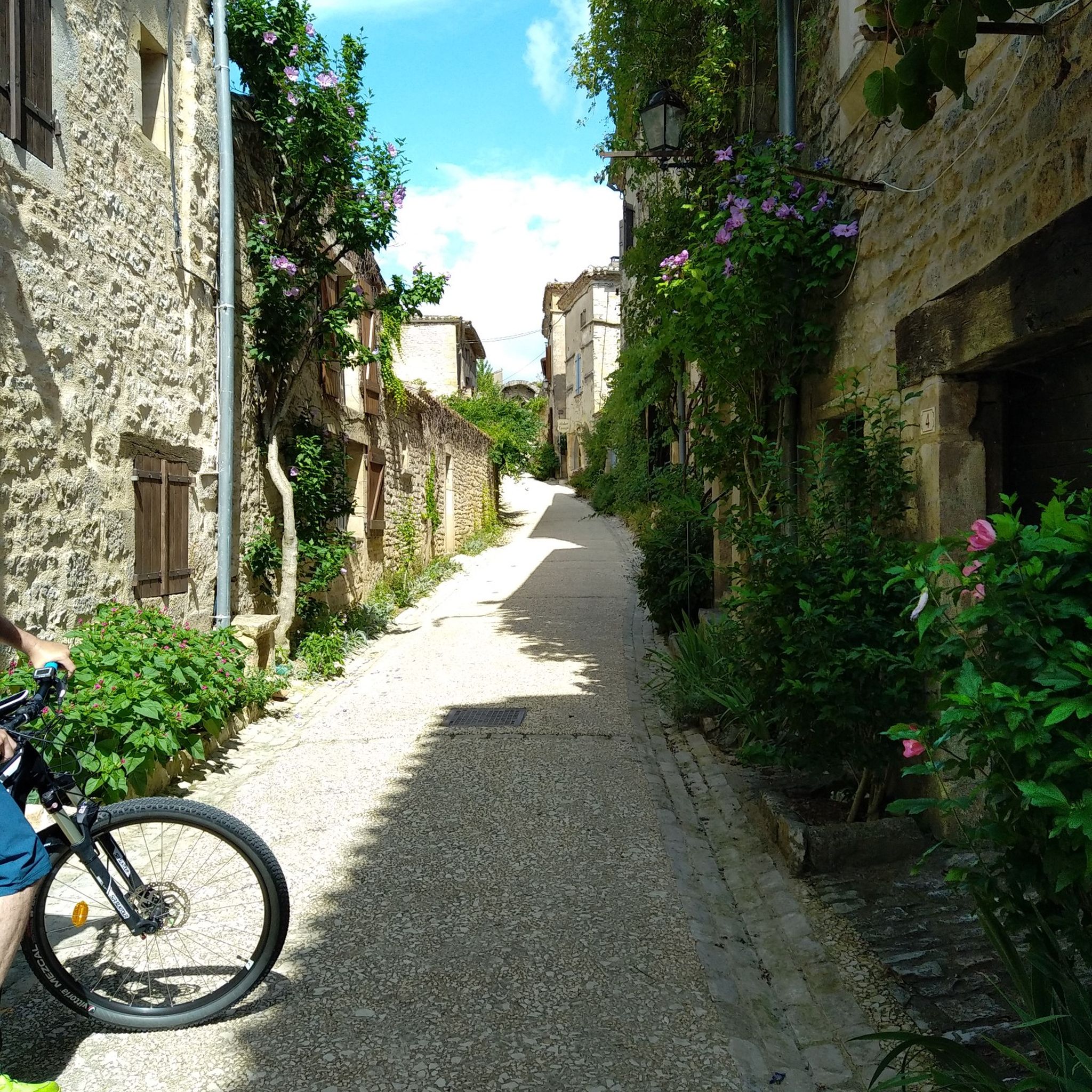
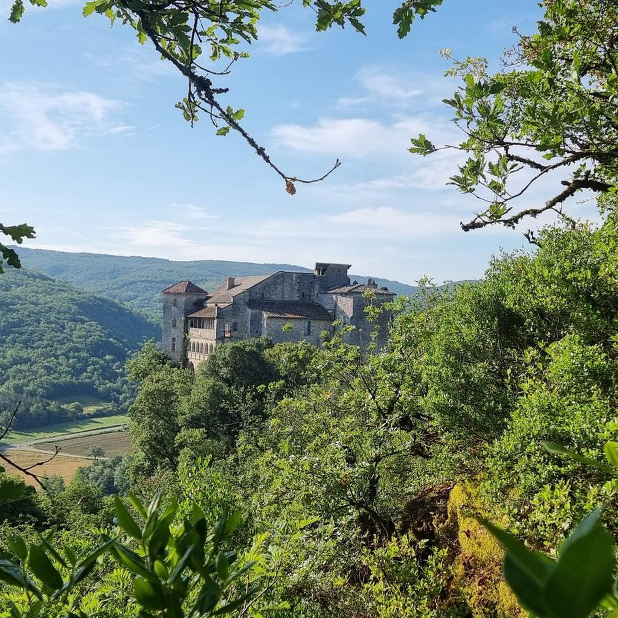
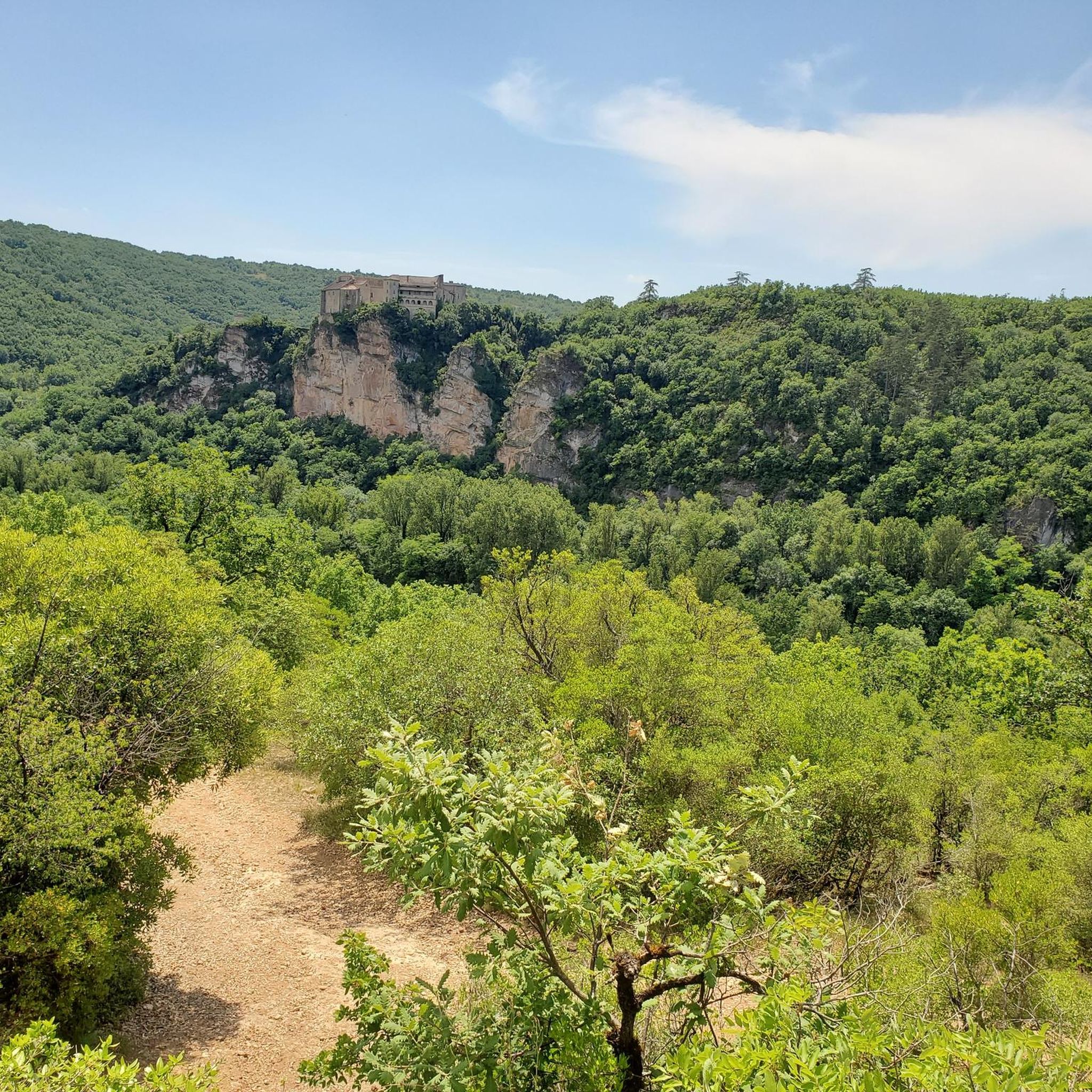
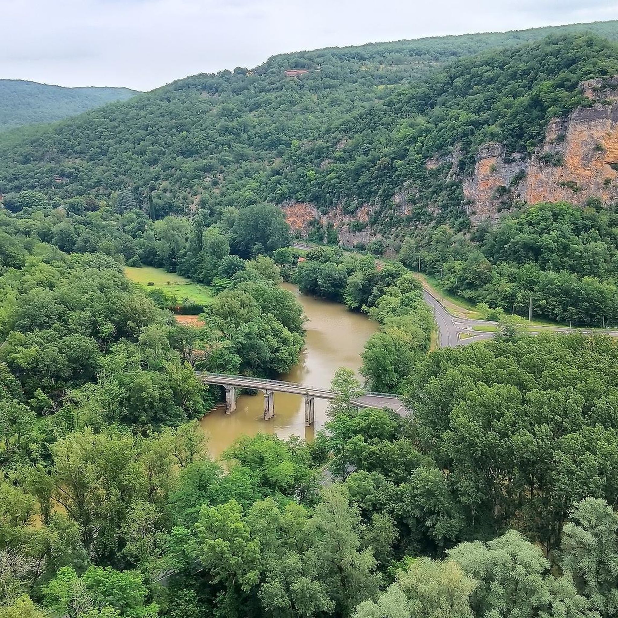

Tips from the Community

Do not pass through the private areas of the park to access the woods, go around to the left. Also, be aware of the archery course located on the right side of the site in the forest.
0
0

Magnificent castle which now houses the Regional Association for the Safeguarding of Children, Adolescents and Adults in a natural park.
3
0
Frequently Asked Questions
How many running routes are available in Nègrepelisse?
There are over 30 running routes around Nègrepelisse, offering a variety of distances and difficulties for all levels of runners. The komoot community has explored these trails over 1,200 times, with routes ranging from easy to difficult.
What kind of terrain can I expect on the jogging trails in Nègrepelisse?
Jogging routes in Nègrepelisse feature a diverse landscape, including picturesque riverside paths along the Aveyron, sections through the Sarret State Forest, and tranquil greenways. The region's elevations range from 79 to 207 meters, providing varied challenges from gentle slopes to more demanding ascents.
Are there any easy running routes suitable for beginners or casual jogs?
Yes, Nègrepelisse offers several easy running options. While many routes are moderate, you can find paths with minimal elevation changes, such as those along the greenways or within the Island of Nègrepelisse. These are perfect for a leisurely run or for those new to jogging.
Can I find circular running routes in Nègrepelisse?
Absolutely. Many of the running trails in Nègrepelisse are designed as loops, allowing you to start and finish at the same point. For example, the Running loop from Ratery offers a moderate 10.2 km circular path through the local landscape.
What natural features or landmarks can I see while running in Nègrepelisse?
Nègrepelisse's running routes offer views of the Aveyron River and its confluence with the Longues-Aygues brook. You can also explore The Island of Nègrepelisse, an 8-hectare Sensitive Natural Area with a discovery trail and arboretum. The Sarret State Forest provides wooded sections, and the historic Nègrepelisse Castle is a notable landmark in town.
Are there any longer running trails for advanced runners?
While many routes are moderate, the varied elevations in the region allow for more challenging workouts. For a longer run, consider the 'Circuit de la Bastide' which spans 17.4 km from the Château park, or explore some of the 4 difficult routes available on komoot for a more demanding experience.
What do other runners enjoy most about jogging in Nègrepelisse?
The running routes in Nègrepelisse are highly rated by the komoot community, with an average score of 4.7 stars. Runners often praise the diverse terrain, from riverside paths to forested sections, and the well-maintained greenways that make for an enjoyable experience.
Are the running trails in Nègrepelisse suitable for families?
Yes, many of the greenways and easier loops, particularly those with minimal elevation, are suitable for families. The Island of Nègrepelisse, with its discovery trail and picnic areas, offers a serene and accessible environment for a family jog or stroll.
Is there parking available near the running routes?
Yes, many running routes in Nègrepelisse, especially those starting from the town center or popular natural areas like the Island of Nègrepelisse, have accessible parking options. For specific routes, it's advisable to check the route details on komoot for designated parking spots.
Can I access running trails using public transport in Nègrepelisse?
Nègrepelisse is a smaller town, so while some routes may be accessible from central points, public transport options directly to trailheads might be limited. It's best to check local bus schedules if you plan to rely on public transport to reach specific starting points outside the town center.
What are some interesting places to explore near Nègrepelisse after a run?
Beyond the running trails, you can visit the 13th-century Nègrepelisse Castle, now an art and design center, or the restored Mill. A short drive away, the magnificent Bruniquel Castles offer panoramic views, and the medieval village of Bruniquel is recognized as one of France's most beautiful. For more information on the region, you can visit tourisme-tarnetgaronne.fr.
Are there any running routes that offer viewpoints?
While specific viewpoints are not always marked, the varied elevations and riverside locations of Nègrepelisse's routes often provide scenic vistas. For example, the area around the Château de Pousinies loop from Montauban offers pleasant views of the surrounding countryside, and the Bruniquel Castles nearby provide panoramic views over the Aveyron and Vère valleys.
Most popular routes around Nègrepelisse
Most popular attractions around Nègrepelisse

Get inspired with the komoot mobile app


Explore more
Browse the best Running Trails & Routes in other regions.
