The best running trails around Glandage
4.6
(21)
452
runners
57
runs
Jogging around Glandage offers diverse terrain within the Vercors Regional Nature Park, characterized by striking vertical rock formations and varied landscapes. The region features routes winding around mountains and through diverse forests, including semi-Mediterranean pine and lush mixed woodlands. These natural elements provide a rich environment for outdoor activities, with trails suitable for various fitness levels. The area's unique geological features and extensive trail network make it appealing for runners seeking scenic and varied routes.
Best jogging routes around Glandage
…Last updated: July 1, 2026
11
runners
15.5km
02:32
720m
720m
Hard run. Very good fitness required. Sure-footedness, sturdy shoes and alpine experience required.
4.0
(1)
11
runners
11.5km
01:44
500m
500m
Hard run. Very good fitness required. Sure-footedness, sturdy shoes and alpine experience required.

Sign up for free
8
runners
19.6km
03:11
1,170m
1,170m
Hard run. Very good fitness required. Sure-footedness, sturdy shoes and alpine experience required.
5
runners
5.98km
01:04
450m
450m
Hard run. Very good fitness required. Mostly paved surfaces. Suitable for all skill levels.
7
runners
25.9km
04:36
1,670m
1,670m
Hard run. Very good fitness required. Sure-footedness, sturdy shoes and alpine experience required.
Get access to more routes and recommendations from other explorers.
Sign up for free
Already have an account?
Our route recommendations are based on thousands of hikes, rides, and runs completed by other people on komoot.
Start today with a free account
Your next adventure awaits.
Login or Signup
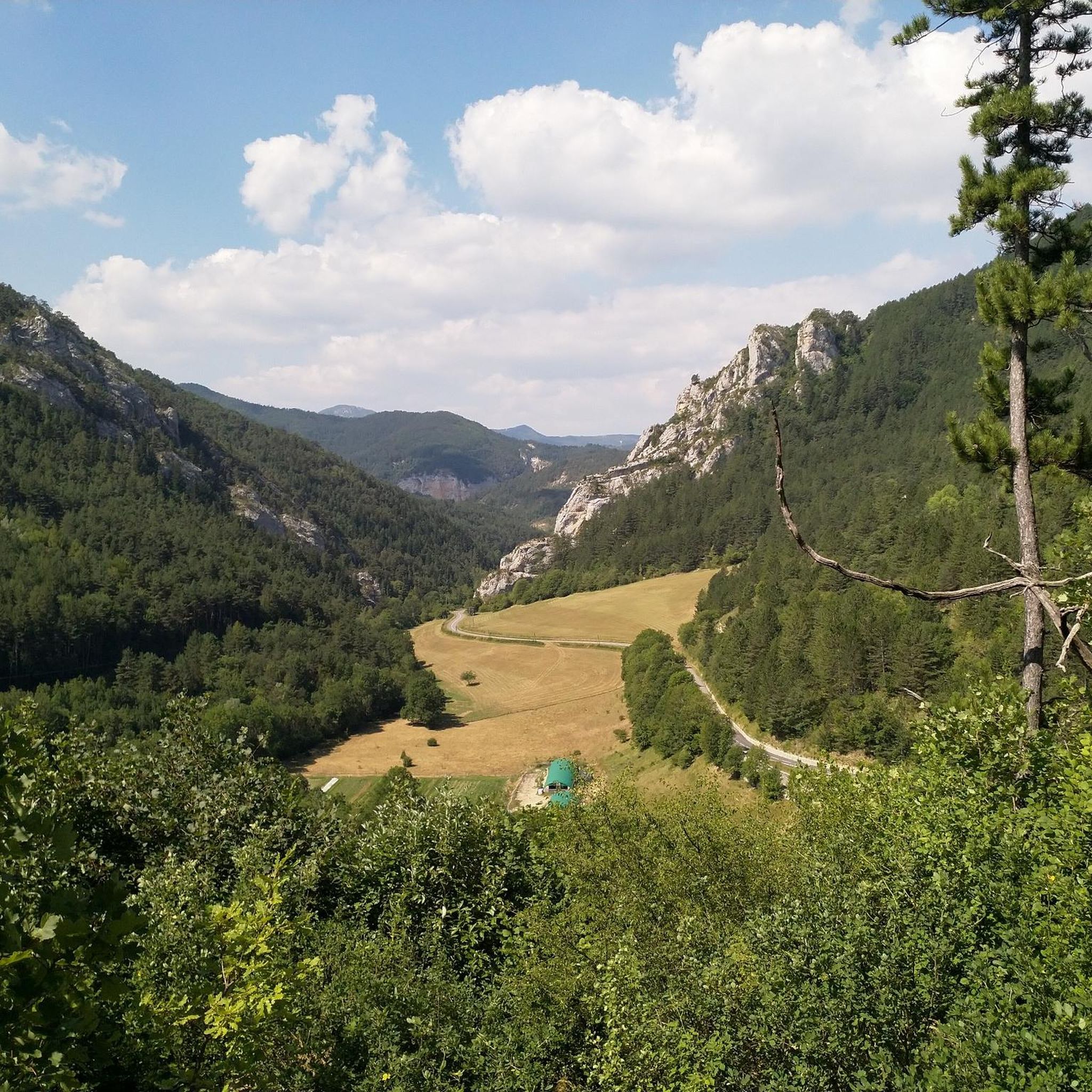
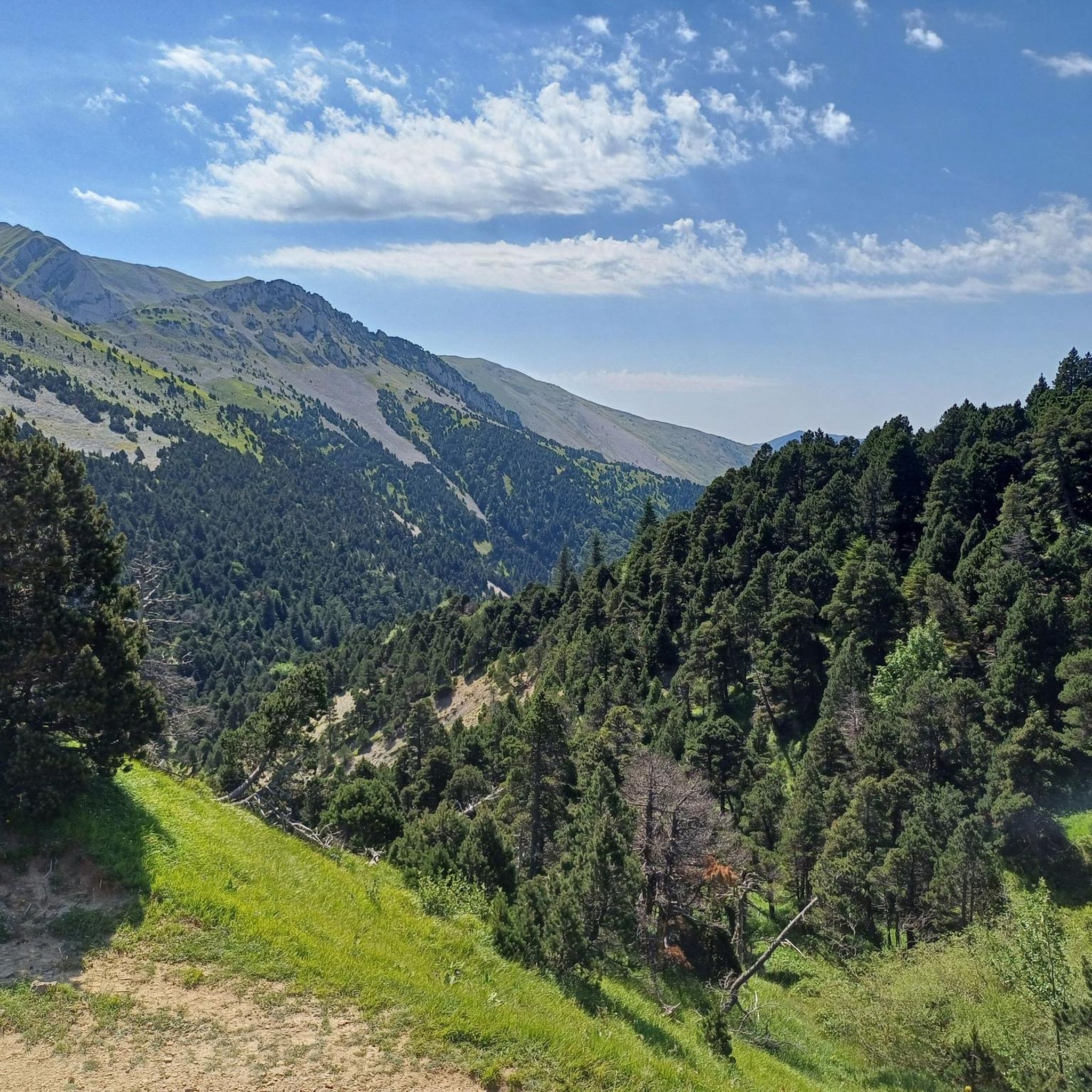
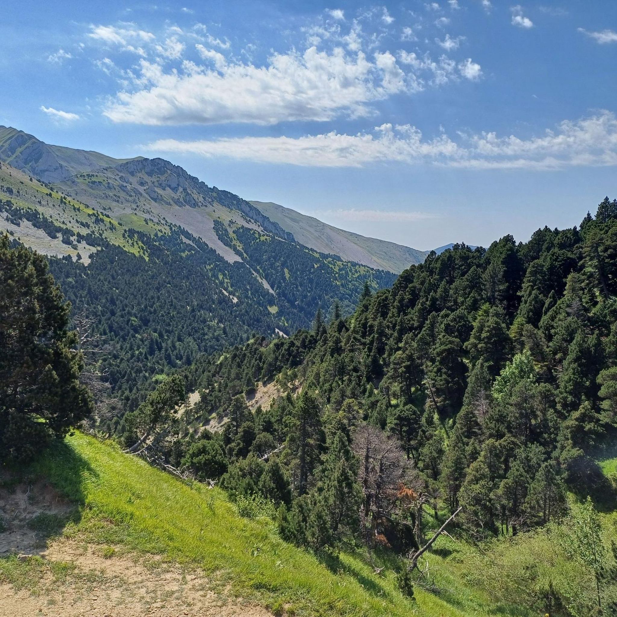
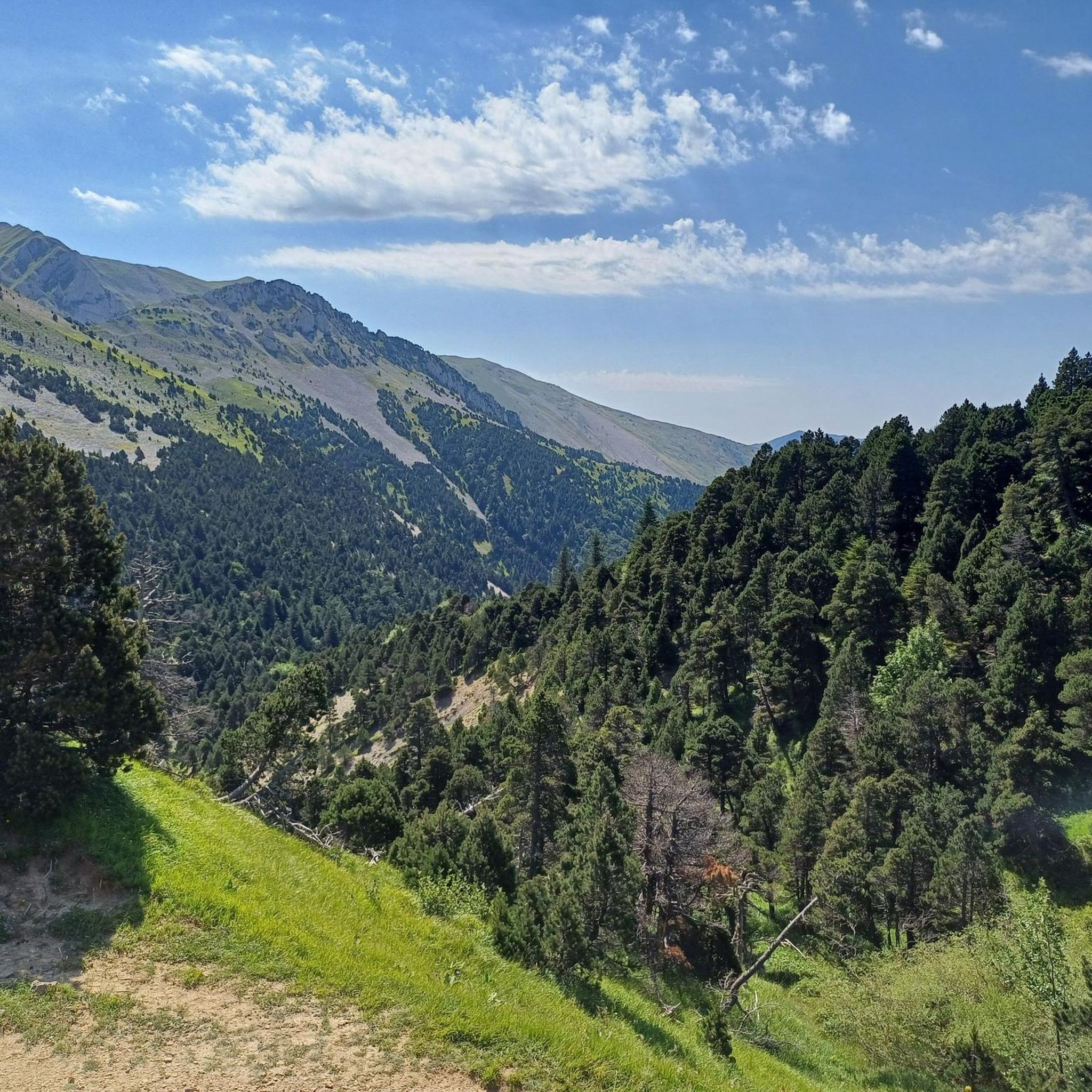

Tips from the Community

Views of the Alps on a clear day and Mont Aiguille
0
0
Departure uphill, then plateau up to the Pas de l'Essaure. Magnificent flora, eagles, ibex, marmots... Ideal in May/June.
0
1

Nice viewpoint over the Arches ravine, a lunar place!
1
0

The Archiane cirque has become a privileged nesting place for the griffon vulture. This marked circuit allows you to discover the four species of vultures present in the Vercors.
0
0

We wanted to do this loop. But after the summit going towards the "Col de Seysse" we followed the Komoot route which directed us to the ridge. At one point the path got lost, and we would have had to go down very steep and very exposed ravines. We gave up and went back on our tracks. Another serpentine path, next to the ridge is closed because of the pasture. As a result this "Loop" is not recommended and should be removed from Komoot!
1
0

The Col de Menée is a pass in the French Alps, located between the Vercors and Diois massifs, in the communes of Percy and Treschenu-Creyers, in the Auvergne-Rhône-Alpes region, at 1,457 m above sea level. It is considered the limit between Trièves and Diois.
0
0
Easy climb on the Drômois side but trickier road on the Isère side. Beware of cars on this narrow road on the north side (Isère)
0
0
The Col de Menée is not very difficult but very long. On the Drôme side the road is well maintained but be wary of the road on the North side (Isère) which is narrower and tricky.
0
0
Frequently Asked Questions
How many running routes are available around Glandage?
There are over 50 running routes around Glandage, offering a wide variety of options for different fitness levels and preferences within the Vercors Regional Nature Park.
What kind of terrain can I expect on the running trails in Glandage?
The terrain around Glandage is incredibly diverse. You'll find routes winding through varied forests, including semi-Mediterranean pine and lush mixed woodlands, as well as paths that traverse open areas and offer mountainous ascents. The region is also known for its striking vertical rock formations and dramatic natural amphitheaters.
What makes running in Glandage unique?
Running in Glandage is unique due to its setting within the Vercors Regional Nature Park, characterized by dramatic vertical rock formations like 'Les Sucettes de Borne', and routes that offer panoramic views of the South-Western Alps. The diverse ecosystems and varied terrain provide a constantly changing and engaging environment for runners.
Are there any easy or beginner-friendly running routes in Glandage?
While many routes are moderate to difficult, there are a few easier options available. For instance, you can find routes that offer gentler terrain, perfect for those new to trail running or looking for a more relaxed jog. Komoot lists 3 easy routes in the area.
What are some of the more challenging running routes for experienced runners?
For experienced runners seeking a challenge, Glandage offers numerous difficult routes. A notable option is the Mont Barral – Jiboui Ridge loop from Col de Grimone, which spans over 25 km with significant elevation changes. This route provides a demanding workout amidst stunning mountain scenery.
Are there any notable landmarks or viewpoints along the running routes in Glandage?
Yes, many running routes in Glandage feature impressive landmarks and viewpoints. You can encounter dramatic natural amphitheaters like the Archiane Cirque, or enjoy panoramic vistas from mountain passes such as the Col de Menée Vulture Observation Point. The region's unique vertical rock formations also serve as striking natural features along many trails.
Are there any circular running routes in Glandage?
Yes, many of the running routes in Glandage are designed as loops, allowing you to start and finish at the same point. For example, the Pointe Feuillette – Col de Jagène loop from Les Amayères is a challenging circular path that offers a rewarding experience.
What do other runners say about the trails in Glandage?
The running trails in Glandage are highly regarded by the komoot community, with an average rating of 4.6 stars from over 20 reviews. Runners often praise the diverse landscapes, the challenging ascents, and the stunning natural beauty of the Vercors Regional Nature Park.
Are the running trails in Glandage suitable for families?
While many routes are challenging, some trails offer easier sections or shorter distances that might be suitable for families looking for a gentle jog or walk. It's advisable to check the difficulty and length of specific routes to ensure they match your family's fitness level.
Are dogs allowed on the running trails in Glandage?
Glandage is located within the Vercors Regional Nature Park. Generally, dogs are allowed on trails but must be kept on a leash to protect wildlife and livestock. Always check specific park regulations or local signage for any restrictions on particular routes or during certain seasons.
What is the best time of year for running in Glandage?
The diverse forests and varied terrain make Glandage appealing for running across multiple seasons. Spring and autumn offer pleasant temperatures and beautiful scenery, while summer provides shaded paths in the woodlands. Winter running might be possible on lower elevation trails, but higher mountain routes could be affected by snow and ice.
Is parking available at the trailheads in Glandage?
Yes, parking is generally available at or near the starting points of many popular running routes in the Glandage area. Specific parking information can often be found in the details of individual route descriptions on platforms like komoot.
Can I reach the running trails in Glandage using public transport?
While Glandage is a rural area, some public transport options might connect to nearby villages. However, direct access to specific trailheads via public transport can be limited. It's recommended to check local bus schedules or consider driving to reach the starting points of most running routes.
Most popular attractions around Glandage

Get inspired with the komoot mobile app


Explore more
Browse the best Running Trails & Routes in other regions.
