Top 12 Mountain Passes around Romeyer
Best mountain passes around Romeyer are located in the Drôme department of southeastern France. This commune is characterized by its geological formations and challenging hiking routes, offering scenic beauty and outdoor recreational opportunities. The area features dramatic landscapes, including rocky cliffs, valleys, and alpine environments. These routes provide diverse experiences for outdoor enthusiasts.
Best mountain passes around Romeyer
- The most popular mountain pass is Col de Rousset, a mountain pass that offers panoramic views of the surrounding mountainous landscape.…
Last updated: September 29, 2026
Col de Rousset Pass and Tunnel
Highlight • Mountain Pass
Translated by Google •
Tip by

Col de l'Allimas
Highlight • Mountain Pass
Translated by Google •
Tip by

Sign up now to discover places like this
Get recommendations on the best single tracks, peaks, & plenty of other exciting outdoor places.
Ascent from Die to Col du Rousset
Highlight (Segment) • Climb
Translated by Google •
Tip by

Col de Marignac
Highlight • Mountain Pass
Coming from Die, it is an intermediate pass before attacking the climb of the Col de la Croix.
Translated by Google •
Tip by

Aupet Pass
Highlight • Mountain Pass
Translated by Google •
Tip by
Sign up for free to discover even more mountain passes around Romeyer.
Already have an account?
Start today with a free account
Your next adventure awaits.
Tips from the Community

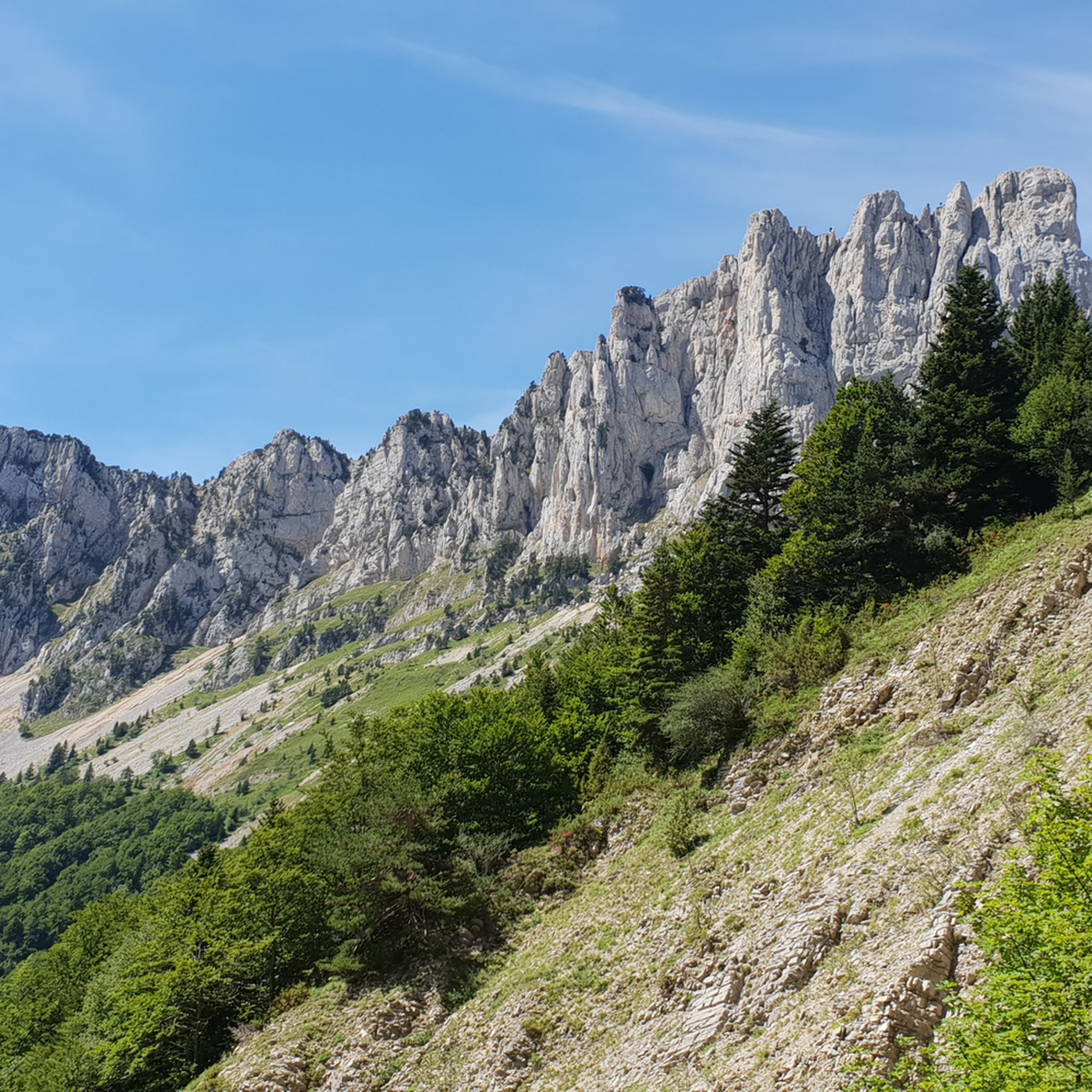
One of the symbolic climbs of the Vercors. The road climbs through forests and rocky walls up to the pass, offering spectacular views of the Drôme valley. A very evocative climb, popular with cyclists, ideal for immersing yourself completely in the wild landscape of the Vercors.
10
0
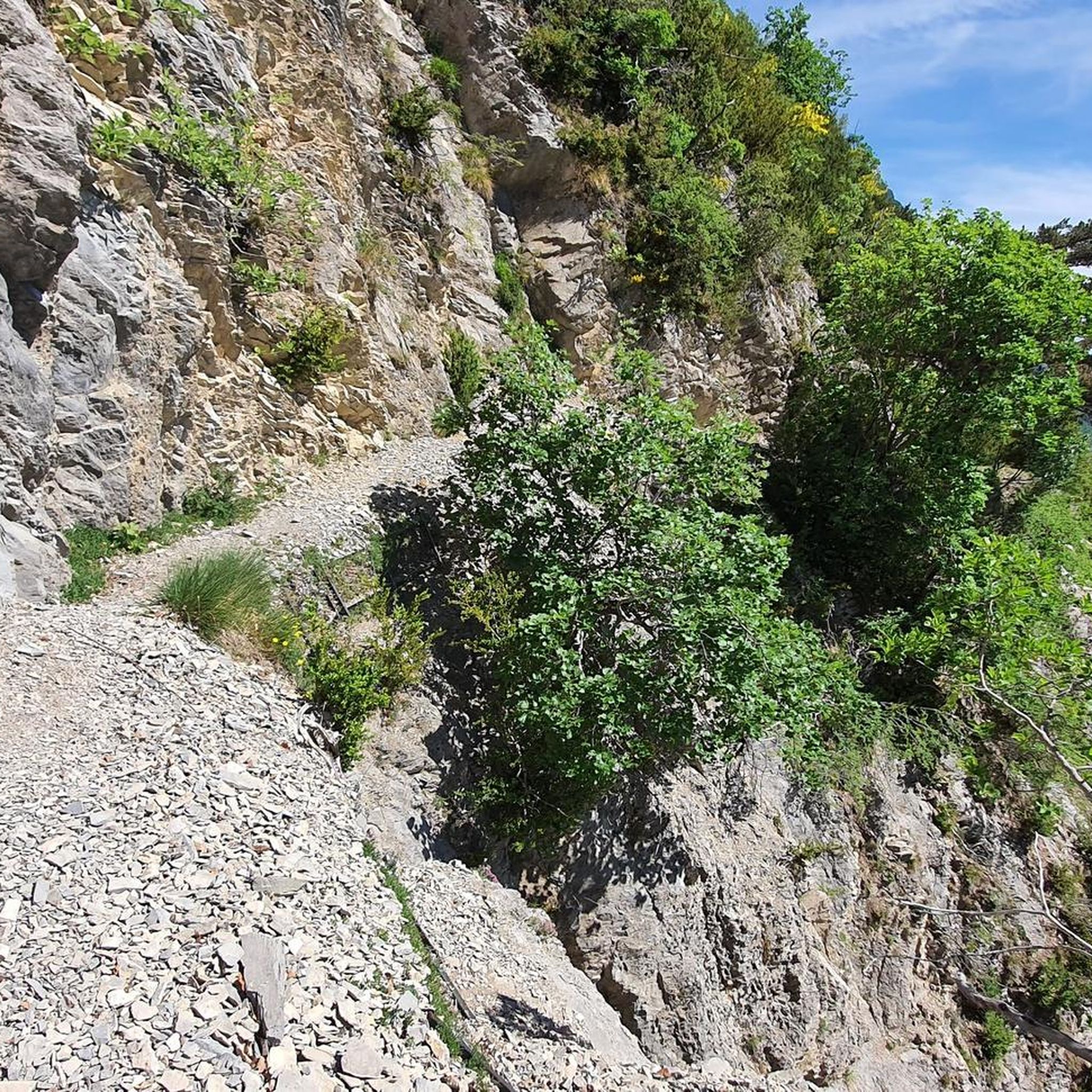
The climb starts quite gently from Chamaloc and becomes progressively more challenging as you enter the spectacular valley. The most scenic part is the final section, with hairpin bends set into the rock faces and the impressive crossing of the Col du Rousset tunnel.
11
0
For fat bikes only
10
0
🚴 Col du Rousset – Chamaloc side * Start: Chamaloc * Finish: Col du Rousset * Altitude: approx. 1,254 m * Length: approx. 11 km * Elevation gain: approx. 650 m * Average gradient: ~6% * Maximum gradients: around 9–10% * Surface: asphalted and generally in good condition
10
0
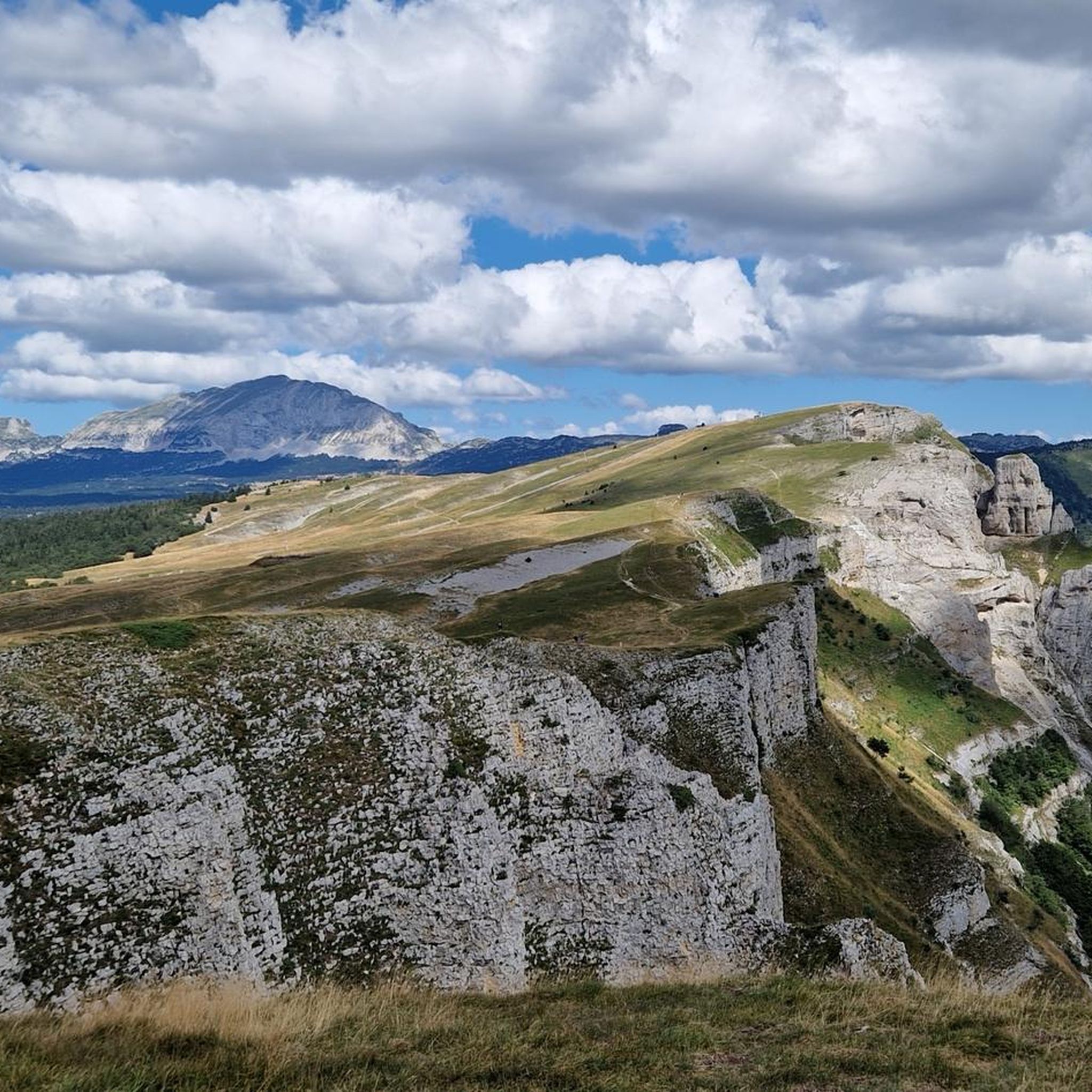
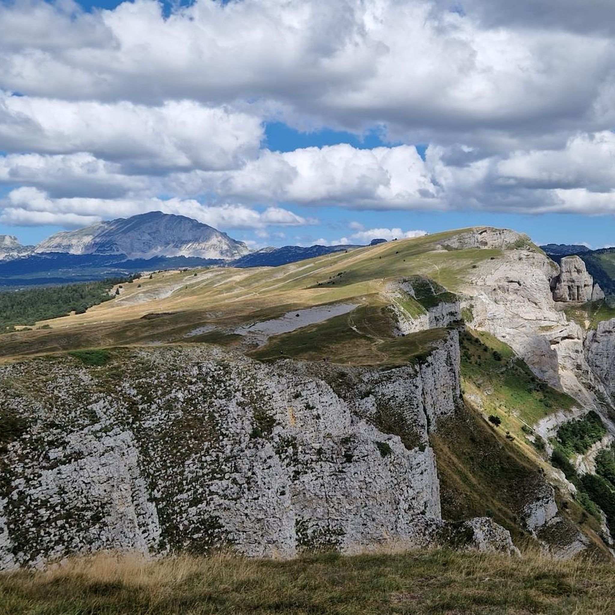
Splendid panoramic viewpoint immersed in nature, ideal for a short break during the route
10
0

In the afternoon heat on the south-facing slope, very little shade. The last 3km are steep. Warning, no water at La Bâtie (cemetery gate locked), refill well before!
0
0

From Saint-Michel-les-Portes, it's about 7 km at an average gradient of 8%. The last few kilometers often reach double digits. A cruel climb if it's the last one of your day...
0
0

Beautiful view and nice place with a table
0
0
Frequently Asked Questions
What unique geological features can I explore among the mountain passes near Romeyer?
The region around Romeyer is known for its dramatic geological formations. A notable example is the Pas de la Roche, a narrow gorge cut by the Meyrosse river, offering impressive rock climbing cliffs and serving as a natural gateway to the Diois valley. While not a traditional high mountain pass, it's a significant natural spectacle.
Which mountain passes offer the most scenic views of the surrounding landscape?
For panoramic vistas, Col de Rousset is highly recommended, connecting the Northern and Southern Alps. Col de l'Allimas provides one of the most beautiful views of the Vercors Massif, including Mont Aiguille. Additionally, Pas de la Ville Pass, perched at 1,925 meters, offers marvelous views of the Écrins.
Are there challenging mountaineering routes available near Romeyer's passes?
Yes, the area offers several demanding mountaineering routes. Examples include the Selle Pass loop from Richardière, a hard 15.8 km route with significant elevation gain, and the Pas de la Ville loop, a 20.0 km trek with a 950m elevation gain, suitable for experienced hikers seeking a rigorous challenge.
What kind of hiking trails can I find near the mountain passes in Romeyer?
The region around Romeyer offers a variety of hiking trails, from moderate to difficult. You can find routes like the 'Pas de la Roche – Belvédère du Col de Villard loop from Romeyer' (moderate, 11.4 km) or the more challenging 'Pré Peyret Hut – Pas de Chabrinel loop from Fournaire' (difficult, 19.3 km). For more options, explore the Hiking around Romeyer guide.
Are there any family-friendly walks or activities near the mountain passes?
While some routes are challenging, the shorter 'Mountaineering loop from Point de Vue du Col du Rousset' (2.07 km, 170m elevation gain) is described as suitable for any fitness level, making it a good option for families looking for a scenic walk without extreme difficulty. The general area's scenic beauty and natural features can be enjoyed by families, though specific 'family-friendly' categorized passes are not explicitly listed in the data.
What is the best time of year to visit the mountain passes around Romeyer for hiking?
The best time to visit for hiking is generally from spring through autumn. During these seasons, the weather is more favorable, and trails are typically clear of snow, allowing for full access to the scenic beauty and outdoor recreational opportunities. Winter can offer different experiences but may require specialized gear and knowledge for snow-covered routes.
Are there options for road cycling or mountain biking near these passes?
Absolutely. The region is popular for cycling. For road cycling, you can find routes like the 'Panoramic View of the Diois – Col de Rousset loop from Romeyer' (difficult, 58.5 km). Mountain biking enthusiasts can explore trails such as 'The town center – Die loop from Die' (moderate, 29.4 km). More routes are available in the Road Cycling Routes around Romeyer and MTB Trails around Romeyer guides.
What do visitors particularly enjoy about the mountain passes around Romeyer?
Visitors frequently praise the grandiose landscapes and magnificent views, especially from passes like Col de Rousset, which offers impressive switchbacks and sublime valley views. The quiet, clean roads of passes like Col de Marignac are appreciated for peaceful bike rides, and the challenging climbs are a draw for cyclists and hikers alike.
Are there any less crowded mountain passes for a quieter experience?
Col de Marignac is noted for being less frequented by motorized vehicles, making it ideal for a quiet bike ride or a peaceful experience away from busier routes. Its pleasant climb and beautiful descent offer a serene outdoor adventure.
Can I find amenities like cafes or pubs near the mountain pass trails?
While specific cafes directly at every trailhead are not detailed, the region around Romeyer and nearby towns like Die offer various amenities. It's advisable to check local listings for cafes and pubs in the villages closest to your chosen mountain pass route before heading out.
What should I know about accessibility and parking for these mountain passes?
Many passes, such as Col de Rousset, are accessible by road, making them popular destinations. For specific trailheads and parking information for hiking or cycling routes, it's best to consult detailed route descriptions within the komoot guides for the area, as these often include practical details for starting points.
Are there any dog-friendly hiking trails around Romeyer's mountain passes?
The mountainous terrain around Romeyer generally offers many opportunities for outdoor activities with dogs. While specific 'dog-friendly' categorizations are not provided for individual passes, many natural trails are suitable for well-behaved dogs on a leash. Always ensure to follow local regulations regarding pets in natural parks or protected areas.
Most popular routes around Romeyer
Most popular attractions around Romeyer

Get inspired with the komoot mobile app


Explore more
See even more epic mountain passes by checking out these guides around Romeyer:
