The best walks and hikes around Châtillon-Saint-Jean
4.5
(272)
1,912
hikers
147
hikes
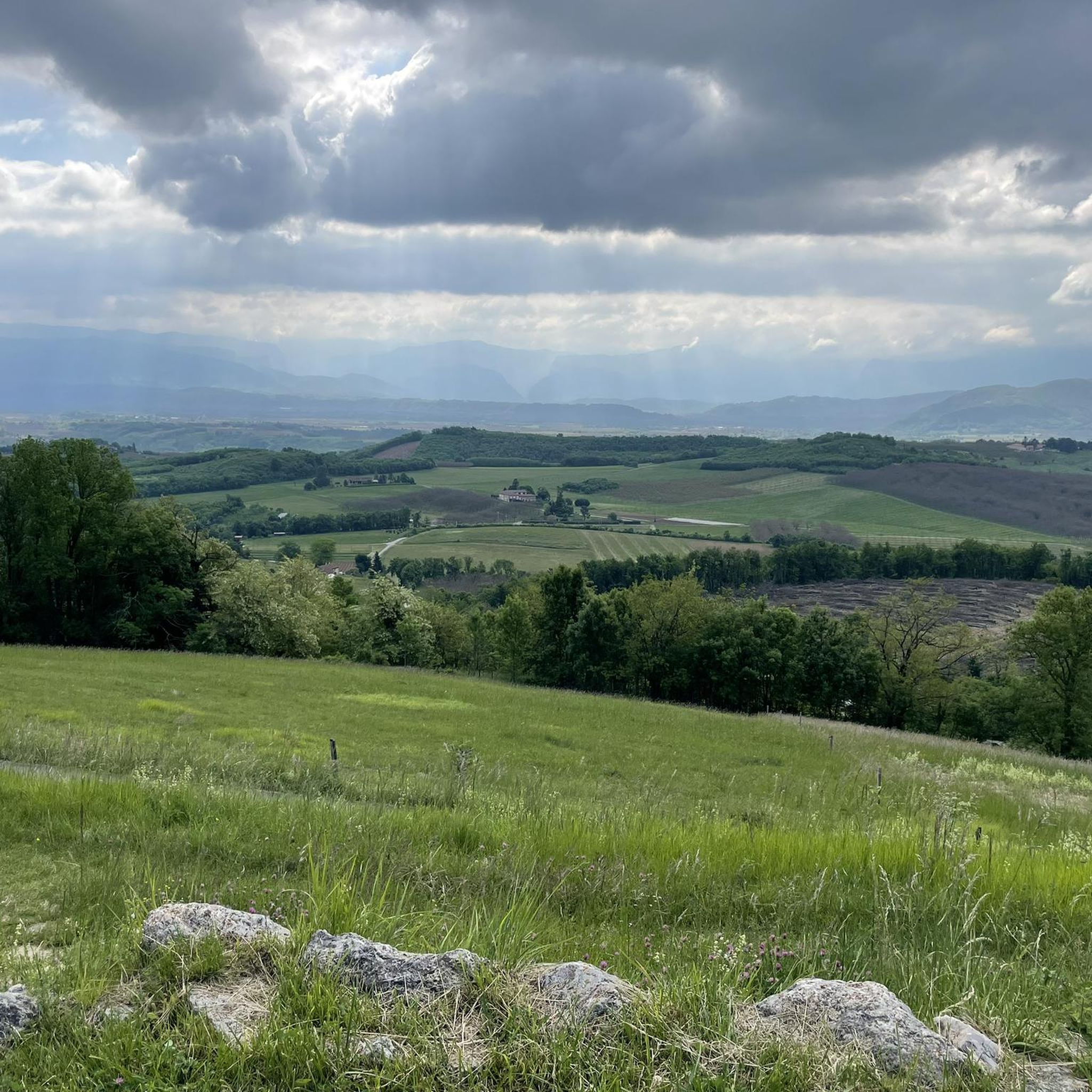
Hiking around Châtillon-Saint-Jean offers diverse landscapes within the Drôme department of southeastern France. The region features a blend of meadows, orchards, and views towards the Vercors Mountains and the Isère plain. Elevated positions provide panoramic vistas of the Monts du Matin ridges. The area is also traversed by the La Joyeuse river, adding to the natural environment.
Best hiking trails around Châtillon-Saint-Jean
- The most popular hiking route is Saint Beatrix Chapel loop from Chapelle Sainte-Béatrix, a 4.5 miles (7.3…
Last updated: July 9, 2026
4.0
(2)
16
hikers
9.32km
02:38
200m
200m
Moderate hike. Good fitness required. Easily-accessible paths. Suitable for all skill levels.
4.5
(2)
14
hikers
7.77km
02:10
150m
150m
Moderate hike. Good fitness required. Easily-accessible paths. Suitable for all skill levels.

Sign up for free
4.5
(2)
5
hikers
8.12km
02:17
160m
160m
Moderate hike. Good fitness required. Easily-accessible paths. Suitable for all skill levels.
6
hikers
13.2km
03:44
280m
280m
Moderate hike. Good fitness required. Easily-accessible paths. Suitable for all skill levels.
4
hikers
15.8km
04:25
300m
300m
Moderate hike. Good fitness required. Easily-accessible paths. Suitable for all skill levels.
Get access to more routes and recommendations from other explorers.
Sign up for free
Already have an account?
Our route recommendations are based on thousands of hikes, rides, and runs completed by other people on komoot.
Start today with a free account
Your next adventure awaits.
Login or Signup

Tips from the Community

The Abbey of Triors was founded in 1984. It is part of the Congregation of Solesmes.
0
0

Secondary road with very little traffic and mediocre asphalt. Partly it runs along the hill with magnificent views of the Vercors and the Royans, partly in narrow sunken lanes. Fast descents are less possible due to the narrow road width and a number of adjacent houses and farms.
0
0
Frequently Asked Questions
How many hiking trails are available in Châtillon-Saint-Jean?
There are over 120 hiking routes around Châtillon-Saint-Jean. These include a diverse range of trails, with approximately 40 easy routes perfect for a leisurely stroll, 77 moderate paths for those seeking a bit more challenge, and a few more difficult options for experienced hikers.
Are there easy hiking options suitable for beginners or families?
Yes, Châtillon-Saint-Jean offers numerous easy hiking options ideal for beginners and families. One popular choice is the Saint Beatrix Chapel loop from Chapelle Sainte-Béatrix, which is 4.5 miles (7.3 km) long and explores the local countryside with minimal elevation gain.
Can I find circular hiking routes around Châtillon-Saint-Jean?
Yes, the area is well-suited for circular walks. Many trails are designed as loops, allowing you to start and end at the same point. For example, the Hiking loop from Carrefour Le Moulin offers an 8.8-mile (14.1 km) trek through local forests and fields, providing a comprehensive circular experience.
What kind of views can I expect on the trails?
Hikers in Châtillon-Saint-Jean can enjoy a variety of picturesque views. Many trails offer panoramic vistas of the majestic Vercors mountain range and the Isère plain. From elevated points, such as the cemetery, you can also see the Monts du Matin ridges. The local landscape is characterized by charming meadows and orchards.
Are there any specific natural features to look out for while hiking?
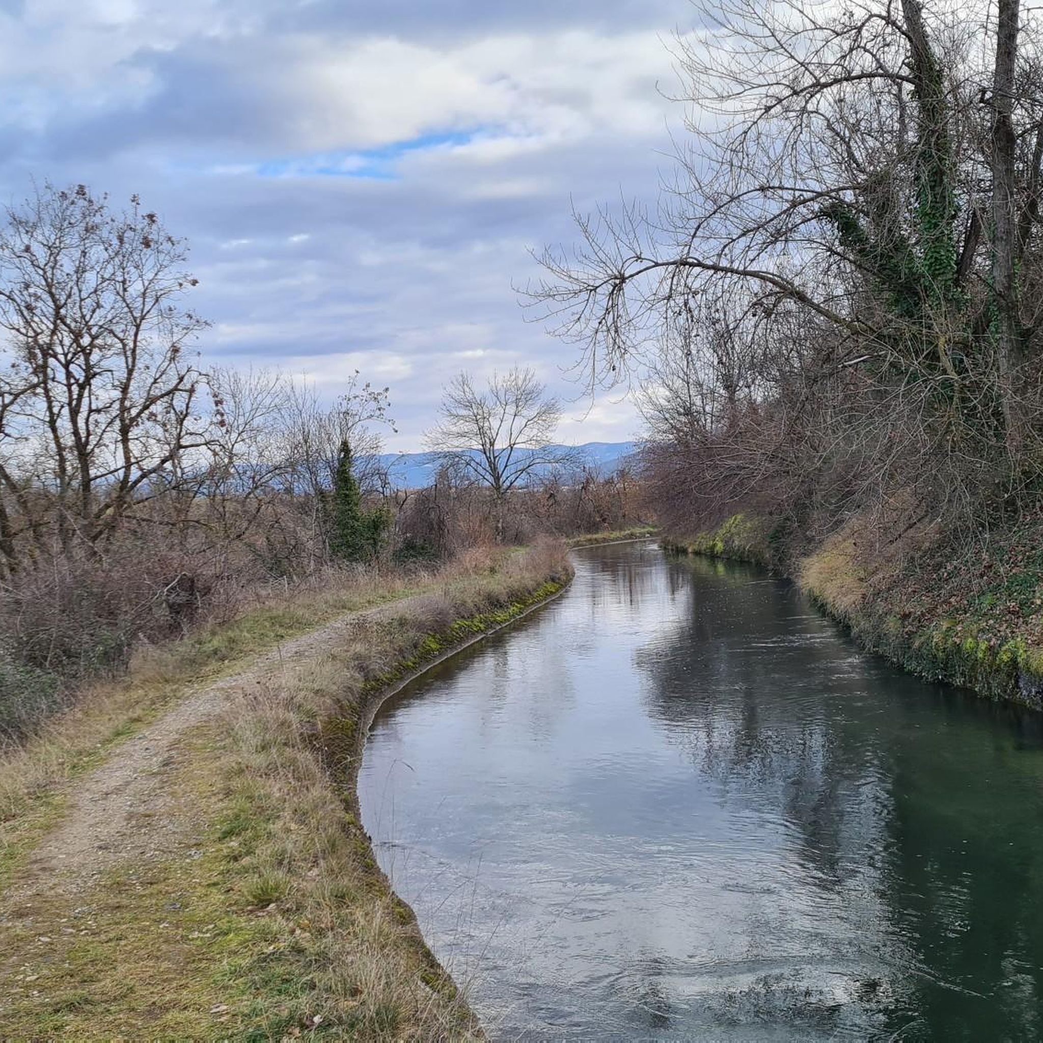
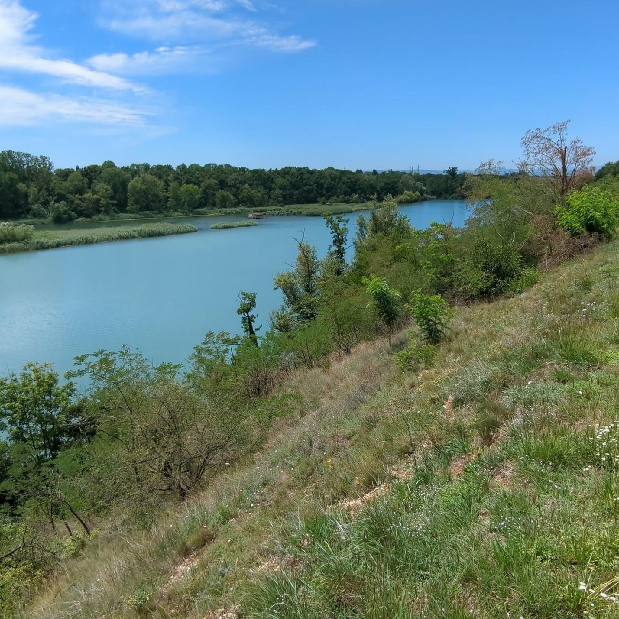
Absolutely. The region is traversed by the La Joyeuse river, an 18.3 km long waterway that adds to the natural charm, often providing pleasant routes along its banks. You'll also encounter diverse terrain ranging from open fields to local forests, and the area is known for its preserved limestone plateaus within the nearby Vercors Regional Natural Park.
What are some interesting places to explore near the hiking trails?
Beyond the trails, there are several interesting attractions nearby. You could visit the Historic centre of Romans-sur-Isère, explore the historic site of Saint-Antoine-l'Abbaye, or discover the unique Thaïs Cave. These offer a great way to complement your hiking experience.
Is Châtillon-Saint-Jean a good destination for hiking with dogs?
While specific regulations for dogs on every trail can vary, the natural and varied terrain around Châtillon-Saint-Jean generally makes it a welcoming area for dog owners. Many of the paths through meadows, orchards, and forests are suitable for walks with your canine companion. Always ensure your dog is under control and check for any local signage regarding leash requirements or restricted areas.
What is the best season to go hiking in Châtillon-Saint-Jean?
The Drôme department, where Châtillon-Saint-Jean is located, offers pleasant hiking conditions across multiple seasons. Spring and autumn provide mild temperatures and beautiful scenery, with blooming flowers or vibrant fall foliage. Summer is also popular, though it can be warmer, making early morning or late afternoon hikes ideal. Winter hiking is possible, but conditions may vary, especially at higher elevations or after snowfall.
Where can I park when accessing hiking trails in the area?
Parking is generally available at various starting points for the hiking trails. For instance, routes like the Route des Crêtes loop from Parnans often have designated parking areas in or near the villages. It's advisable to check the specific tour details on komoot for recommended parking locations for your chosen route.
Are there options for longer, more challenging hikes?
Yes, for those seeking more challenging routes, Châtillon-Saint-Jean and its surroundings offer longer trails with greater elevation changes. The Saint-Michel-sur-Savasse loop from Saint-Michel-sur-Savasse, for example, is a moderate 12.8 km (8 miles) path with significant elevation gain, taking you through ridges and valleys. The proximity to the Vercors mountains also opens up opportunities for more demanding treks.
What do other hikers say about the trails in Châtillon-Saint-Jean?
The hiking trails in Châtillon-Saint-Jean are highly regarded by the komoot community, boasting an average rating of 4.4 stars from over 200 reviews. Hikers frequently praise the diverse landscapes, from peaceful meadows to scenic views of the Vercors, and appreciate the well-maintained paths suitable for various fitness levels.
How accessible is the area by public transport for hikers?
While specific public transport links directly to every trailhead might be limited, Châtillon-Saint-Jean is situated in the Drôme department, which has regional transport options. For detailed information on bus routes or train connections to nearby towns, it's best to consult local transport authorities. Many hikers choose to arrive by car to access the wider network of trails more flexibly.
Most popular routes around Châtillon-Saint-Jean
Most popular attractions around Châtillon-Saint-Jean

Get inspired with the komoot mobile app


Explore more
Browse the best Hikes in other regions.
