The best walks and hikes around Rosult
4.3
(1147)
5,221
hikers
287
hikes
Hiking around Rosult offers access to a network of trails within a landscape characterized by rural paths, agricultural fields, and local woodlands. The region, situated near the French-Belgian border, features generally flat to gently rolling terrain, with minimal elevation changes. Hikers can explore areas like the Forêt de Marchiennes and former mining spoil heaps (terrils), providing varied natural and historical points of interest.
Best hiking trails around Rosult
- The most popular hiking route is Hiking loop from Lecelles, a…
Last updated: July 9, 2026
4.3
(9)
38
hikers
15.3km
03:53
40m
40m
Moderate hike. Good fitness required. Easily-accessible paths. Suitable for all skill levels.
5.0
(1)
14
hikers
Hard hike. Very good fitness required. Easily-accessible paths. Suitable for all skill levels.

Sign up for free
5.0
(1)
9
hikers
Moderate hike. Good fitness required. Easily-accessible paths. Suitable for all skill levels.
4.0
(1)
6
hikers
16.0km
04:02
20m
20m
Moderate hike. Good fitness required. Easily-accessible paths. Suitable for all skill levels.
3.7
(3)
5
hikers
11.4km
02:53
20m
20m
Moderate hike. Good fitness required. Easily-accessible paths. Suitable for all skill levels.
Get access to more routes and recommendations from other explorers.
Sign up for free
Already have an account?
Our route recommendations are based on thousands of hikes, rides, and runs completed by other people on komoot.
Start today with a free account
Your next adventure awaits.
Login or Signup

Tips from the Community

A very beautiful passage between the fields of daffodils.
1
0


I recommend going there during the lily of the valley season. If you look carefully, you can find quite a few lily of the valley carpets.
0
0

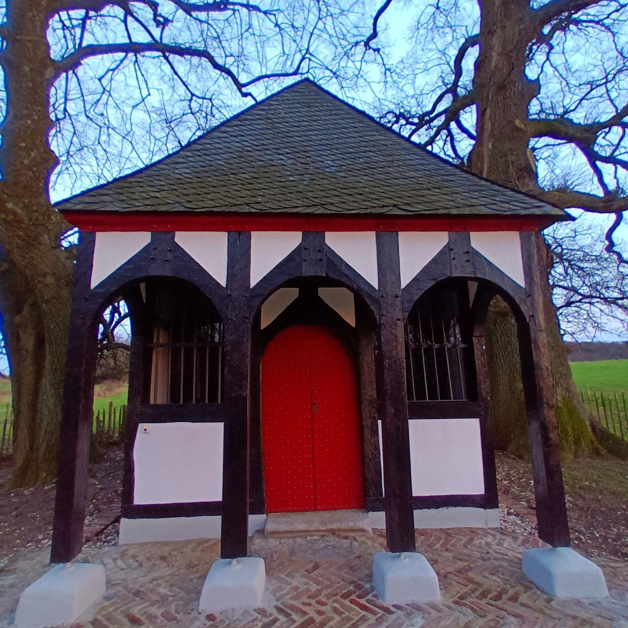
The customs house in Rumegies is a historic building that served as a customs post at the border between France and Belgium. This small house was used by customs officers to control the border crossings and stop smugglers. It is a reminder of the time when border controls were a daily reality in Europe.
1
1

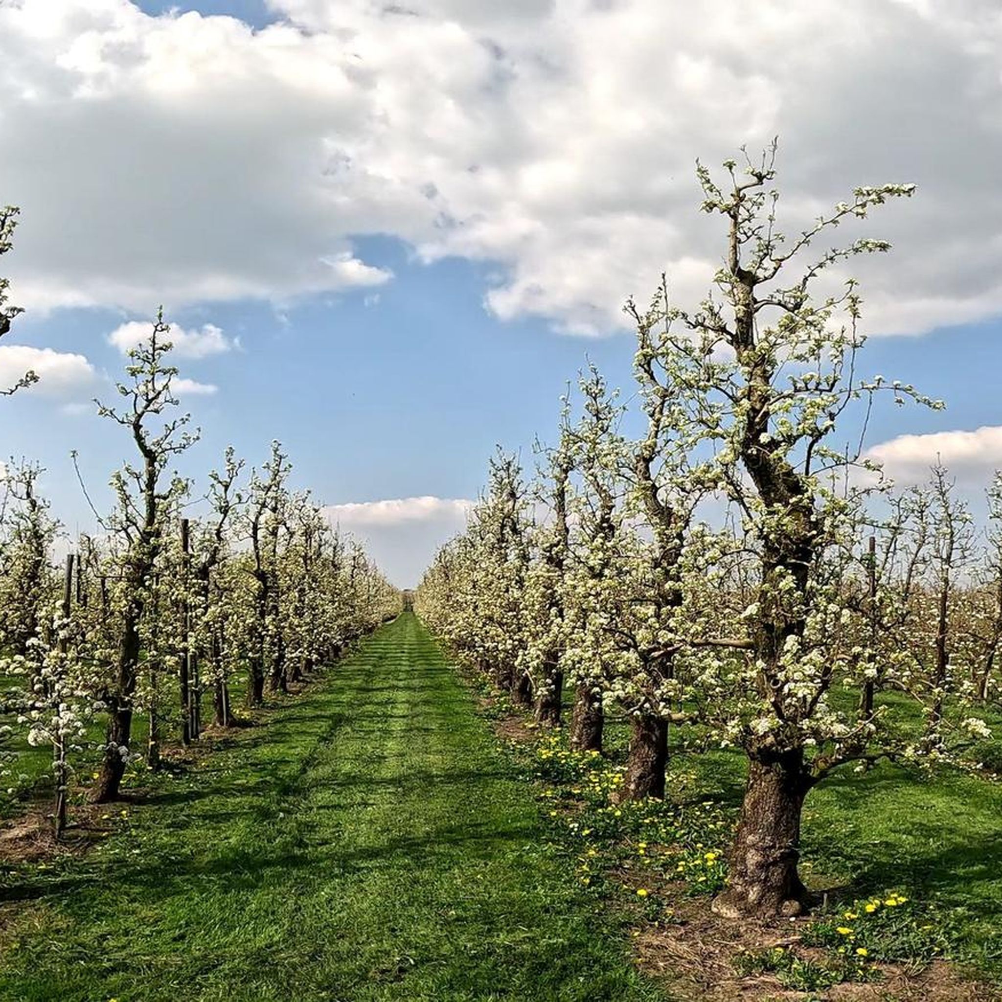
A path passes through this pretty orchard, offering the opportunity to take a pleasant walk on the Franco-Belgian border.
3
0

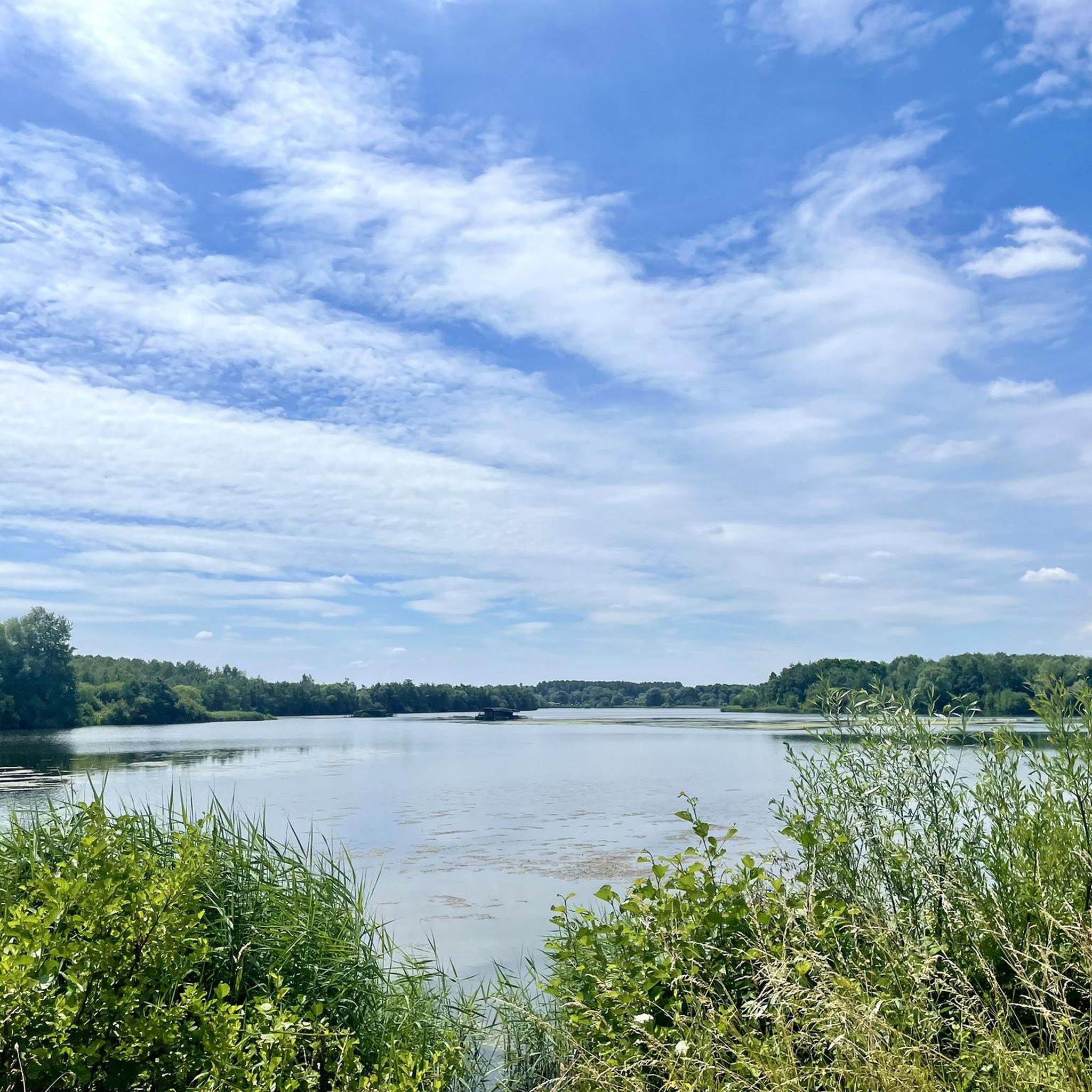
As you walk through the Raismes-Saint-Amand-Wallers Forest, you will come across many small, unnamed ponds that reflect the trees and the sky in winter and are covered in algae in summer.
1
0

Beautiful route in summer and panoramic view and quite a bit of elevation gain
1
1

Relatively easy cobblestone strip, which is neat. Especially in Paris Roubaix (with its 3 extremely difficult 5-star sections, it's nice to have a normal one every now and then. Like this one. The nature/environment is somewhat desolate, so that won't warm you up :)
1
0
Frequently Asked Questions
How many hiking trails are available around Rosult?
There are nearly 300 hiking routes recorded around Rosult on komoot, offering a wide variety of options for all skill levels. This includes 137 easy routes, 139 moderate routes, and 22 difficult routes.
What kind of terrain can I expect on hikes around Rosult?
Hikes around Rosult typically feature rural paths, agricultural fields, and local woodlands. The region is generally flat to gently rolling, with minimal elevation changes. You can also find varied terrain, including former mining spoil heaps (terrils) and peaceful ponds, particularly on routes like the Peaceful little pond – View from Terril Sabatier Nord loop from Saint-Amand-les-Eaux.
Are there easy hiking options suitable for beginners in Rosult?
Yes, Rosult offers plenty of easy hiking options. With 137 routes classified as easy, beginners can enjoy gentle walks through rural landscapes and local woodlands. These trails typically have minimal elevation gain and are suitable for a relaxed outing.
Are there any challenging hikes for experienced trekkers near Rosult?
For those seeking a challenge, Rosult has 22 difficult routes. An example is the Peaceful little pond – View from Terril Sabatier Nord loop from Saint-Amand-les-Eaux, which is a 16.9-mile (27.2 km) path featuring varied terrain, including a former mining spoil heap (terril).
What natural landmarks or points of interest can I discover on hikes around Rosult?
Hikes around Rosult can lead you to several interesting natural features. You might encounter lakes such as Étang des Argales or Goriaux Pond. The region also features local woodlands like the Forêt de Marchiennes and former mining spoil heaps (terrils), which offer unique viewpoints and varied landscapes.
Are there any circular hiking routes available?
Yes, many of the hiking routes around Rosult are circular. For instance, the Hiking loop from Lecelles is a popular circular route that winds through rural landscapes. Another option is the Daffodil Fields of Howardries – Old Customs Post loop from Rumegies, which combines rural paths with historical points of interest.
What do other hikers enjoy most about hiking in Rosult?
The hiking experience in Rosult is highly rated by the komoot community, with an average score of 4.4 stars from over 900 reviews. Hikers often praise the peaceful rural paths, the varied terrain including woodlands and former mining areas, and the accessibility of routes for different ability levels.
Are there any family-friendly walks near Rosult?
While specific family-friendly routes are not detailed, the abundance of easy and moderate trails with minimal elevation changes makes many of Rosult's paths suitable for families. Look for shorter, easy-rated loops that pass through woodlands or near ponds for a pleasant family outing.
Can I bring my dog on the hiking trails around Rosult?
Generally, dogs are welcome on many hiking trails in rural areas like Rosult, especially if kept on a leash. However, specific regulations can vary, particularly in nature reserves or protected areas. It's always best to check local signage or guidelines for any specific route you plan to take.
What is the best time of year to go hiking near Rosult?
The best time for hiking near Rosult is typically during spring, summer, and early autumn. These seasons offer pleasant temperatures and generally drier conditions, making the rural paths and woodlands more enjoyable to explore. Spring brings blooming flora, while autumn showcases colorful foliage.
Are there options for public transport to reach hiking trailheads in Rosult?
Information on specific public transport links directly to trailheads in Rosult is limited. As a rural area, public transport options might be less frequent than in larger towns. It's advisable to check local bus schedules or consider driving to trailheads, where parking facilities are often available.
Where can I find parking facilities for hiking trails in Rosult?
Parking facilities are generally available near popular trailheads and villages in the Rosult area. For routes that start from specific locations, such as the Marchiennes Forest – Abbé Car Park loop from Sars-et-Rosières, designated parking areas are usually indicated. It's recommended to check the starting point of your chosen route for specific parking information.
Most popular attractions around Rosult

Get inspired with the komoot mobile app


Explore more
Browse the best Hikes in other regions.
