The best walks and hikes around Warlaing
4.4
(918)
4,586
hikers
217
hikes
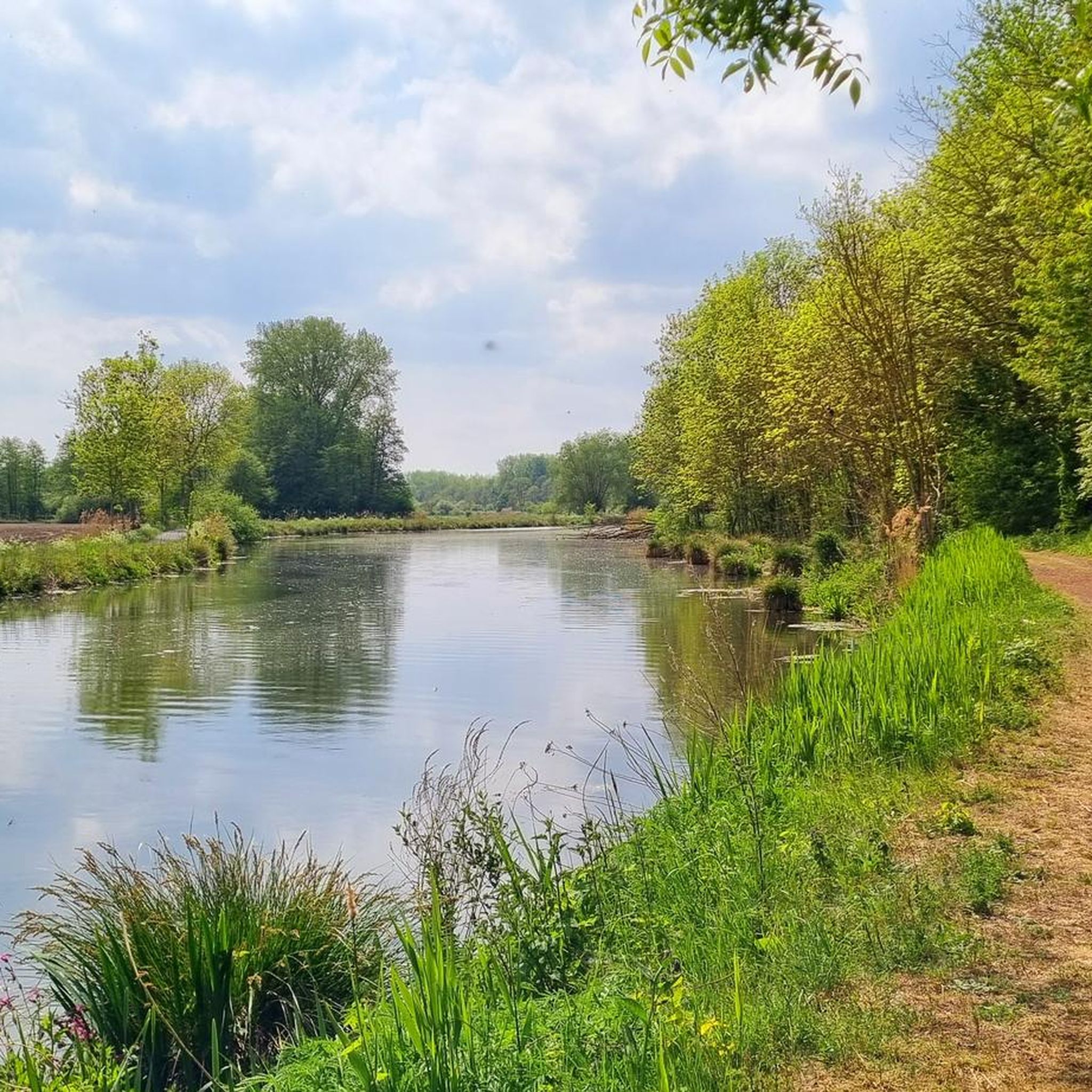
Hiking around Warlaing offers access to the diverse landscapes of the Scarpe-Escaut Regional Nature Park in northern France. The region is characterized by a mosaic of prairies, cultivated fields, and extensive forests, notably the Marchiennes State Forest. The Scarpe and Escaut rivers create a network of wetlands, including ponds, marshes, and alluvial forests, providing varied terrain for hiking trails. Elevation changes are generally gentle, with routes traversing plains and river valleys.
Best hiking trails around Warlaing
- The most popular hiking…
Last updated: July 9, 2026
4.4
(7)
11
hikers
21.6km
05:26
30m
30m
Hard hike. Very good fitness required. Easily-accessible paths. Suitable for all skill levels.
9
hikers
9.65km
02:27
20m
20m
Moderate hike. Good fitness required. Easily-accessible paths. Suitable for all skill levels.

Sign up for free
5.0
(1)
9
hikers
Moderate hike. Good fitness required. Easily-accessible paths. Suitable for all skill levels.
4
hikers
9.90km
02:29
10m
10m
Moderate hike. Good fitness required. Easily-accessible paths. Suitable for all skill levels.
4.0
(1)
5
hikers
8.85km
02:14
10m
10m
Moderate hike. Good fitness required. Easily-accessible paths. Suitable for all skill levels.
Get access to more routes and recommendations from other explorers.
Sign up for free
Already have an account?
Our route recommendations are based on thousands of hikes, rides, and runs completed by other people on komoot.
Start today with a free account
Your next adventure awaits.
Login or Signup


Tips from the Community

Perfect, just one dangerous point: the main road in Somain, crossing the road with a dangerous bend. Be careful.
0
0

Enjoy nature instead of the hustle and bustle.
0
0


I recommend going there during the lily of the valley season. If you look carefully, you can find quite a few lily of the valley carpets.
0
0

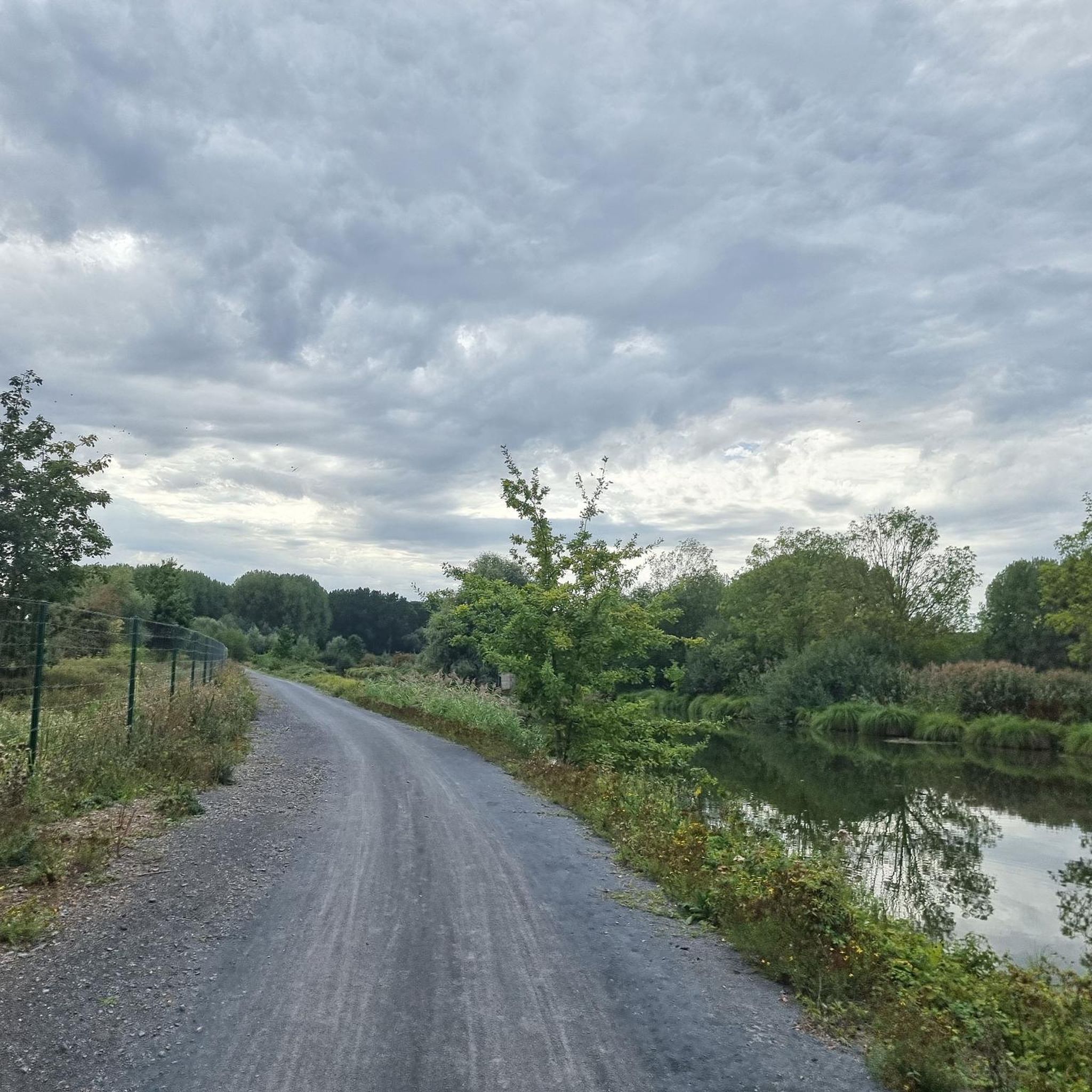
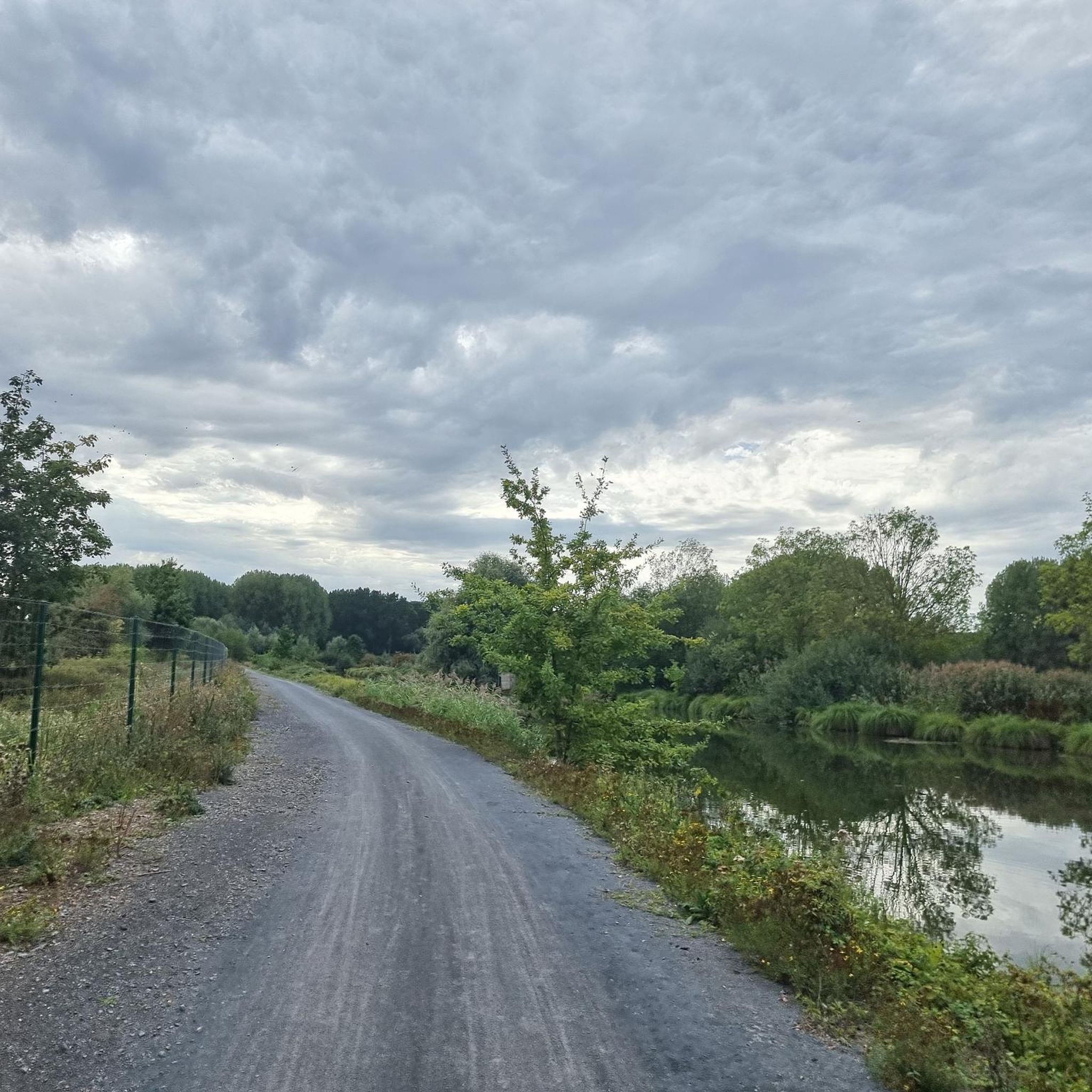
This greenway is a beautiful way to cycle in the Scarpe-Escaut Regional Nature Park. Here you follow the canalised river.
1
0

Relatively easy cobblestone strip, which is neat. Especially in Paris Roubaix (with its 3 extremely difficult 5-star sections, it's nice to have a normal one every now and then. Like this one. The nature/environment is somewhat desolate, so that won't warm you up :)
1
0
Frequently Asked Questions
How many hiking trails are available around Warlaing?
There are over 220 hiking routes around Warlaing, offering diverse options through forests, wetlands, and river valleys within the Scarpe-Escaut Regional Nature Park.
Are there easy or family-friendly hiking trails in Warlaing?
Yes, Warlaing offers over 110 easy hiking routes, many of which are suitable for families and beginners. These trails typically feature gentle elevation changes, making them accessible for various fitness levels.
What kind of terrain can I expect on hikes around Warlaing?
The terrain around Warlaing is characterized by a mosaic of prairies, cultivated fields, and extensive forests, particularly the Marchiennes State Forest. You'll also find networks of wetlands, including ponds, marshes, and alluvial forests created by the Scarpe and Escaut rivers. Elevation changes are generally gentle.
Are there any circular walks in the Warlaing area?
Yes, many routes around Warlaing are circular. For example, the Marchiennes State Forest loop from Marchiennes is a moderate 6.3-mile (10.2 km) trail that allows you to explore the dense woodlands and return to your starting point.
What are some interesting natural attractions or landmarks to see while hiking?
The region is rich in natural beauty. You can explore various lakes and ponds such as Étang des Argales or Goriaux Pond. The Germignies Marsh and Spoil Heap also offers a unique natural landscape to discover.
What do other hikers enjoy most about hiking in Warlaing?
The komoot community highly rates the trails around Warlaing, with an average score of 4.4 stars from over 750 reviews. Hikers often praise the peaceful atmosphere of the Marchiennes State Forest, the diverse landscapes of wetlands and river valleys, and the well-maintained paths suitable for various abilities.
Are there any routes that explore the Marchiennes State Forest?
Absolutely. The Marchiennes State Forest is a prominent feature of the area. A popular route is the Marchiennes State Forest – Marchiennes State Forest loop from Marchiennes, a 5.0-mile (8.0 km) trail that takes you deep into the dense woodlands.
How long do hikes around Warlaing typically take?
Hikes around Warlaing vary in length and duration. Shorter, easy routes can be completed in under 2 hours, while moderate trails like the Abbot's Path – Abbé Car Park loop from Marchiennes, which is 8.4 miles (13.6 km), might take around 3.5 hours.
What is the best time of year to hike in Warlaing?
Spring and autumn are generally ideal for hiking in Warlaing, offering pleasant temperatures and vibrant natural scenery. Spring brings blooming flora, while autumn showcases colorful foliage in the forests. Winter hiking is possible, but conditions can be damp, especially in wetland areas.
Are there any specific routes that feature lakes or water bodies?
Yes, the region's wetlands and rivers mean many routes feature water. The Étang des Argales – Lac des Argales loop from Marchiennes is a notable 11.0-mile (17.7 km) trail that circles a significant body of water, offering beautiful lakeside views.
Is public transport available to reach hiking trailheads near Warlaing?
While Warlaing itself is a small commune, the wider Scarpe-Escaut Regional Nature Park has some public transport options, primarily bus services connecting larger towns. It's advisable to check local bus schedules for routes to Marchiennes or other starting points, as direct access to all trailheads might be limited.
Are there parking facilities available at the trailheads?
Many popular trailheads, especially those near Marchiennes or significant natural sites like the Marchiennes State Forest, offer designated parking areas. It's common to find parking at starting points for routes like the Abbé Car Park – Marchiennes Forest loop from Tilloy-lez-Marchiennes.
Most popular attractions around Warlaing

Get inspired with the komoot mobile app


Explore more
Browse the best Hikes in other regions.
