The best walks and hikes around Pecquencourt
4.5
(676)
3,781
hikers
248
hikes
Hiking around Pecquencourt offers access to a landscape characterized by former mining heaps, known as terrils, and tranquil water bodies within the Scarpe-Escaut Regional Natural Park. The terrain generally features low elevation gains, making many paths accessible. This region provides a mix of open areas and natural park environments, suitable for various outdoor activities.
Best hiking trails around Pecquencourt
- The most popular hiking route is Terril des Argales Loop, an easy 3.0 miles (4.9 km) trail that takes 1 hour 17 minutes to complete. This path explores the unique landscape of a former mining heap.
- Another top favourite among local hikers is Terril de Germignies-nord — loop from Vred in the Scarpe-Escaut Regional Natural Park, a moderate 5.8 miles (9.4 km) path. This route offers views of the natural park and another terril.
- Local hikers also love the Viewpoint over the lake – Argales Pond loop from Rieulay, a 3.1 miles (5.1 km) trail leading through the area around Argales Pond, often completed in about 1 hour 19 minutes.
- Hiking around Pecquencourt is defined by former mining heaps, natural parkland, and serene lakes. The network offers options for easy, moderate, and some more challenging trails.
- The routes in Pecquencourt are highly rated by the komoot community with an average score of 4.5 stars from over 550 reviews. More than 3500 hikers have used komoot to explore Pecquencourt's varied terrain.
Last updated: July 8, 2026
4.5
(11)
30
hikers
4.88km
01:17
40m
40m
Easy hike. Great for any fitness level. Easily-accessible paths. Suitable for all skill levels.
4.0
(8)
24
hikers
Moderate hike. Good fitness required. Easily-accessible paths. Suitable for all skill levels.

Sign up for free
4.6
(53)
385
hikers
Easy hike. Great for any fitness level. Easily-accessible paths. Suitable for all skill levels.
4.6
(17)
63
hikers
Easy hike. Great for any fitness level. Easily-accessible paths. Suitable for all skill levels.
4.6
(17)
71
hikers
Moderate hike. Good fitness required. Easily-accessible paths. Suitable for all skill levels.
Get access to more routes and recommendations from other explorers.
Sign up for free
Already have an account?
Our route recommendations are based on thousands of hikes, rides, and runs completed by other people on komoot.
Start today with a free account
Your next adventure awaits.
Login or Signup

Tips from the Community

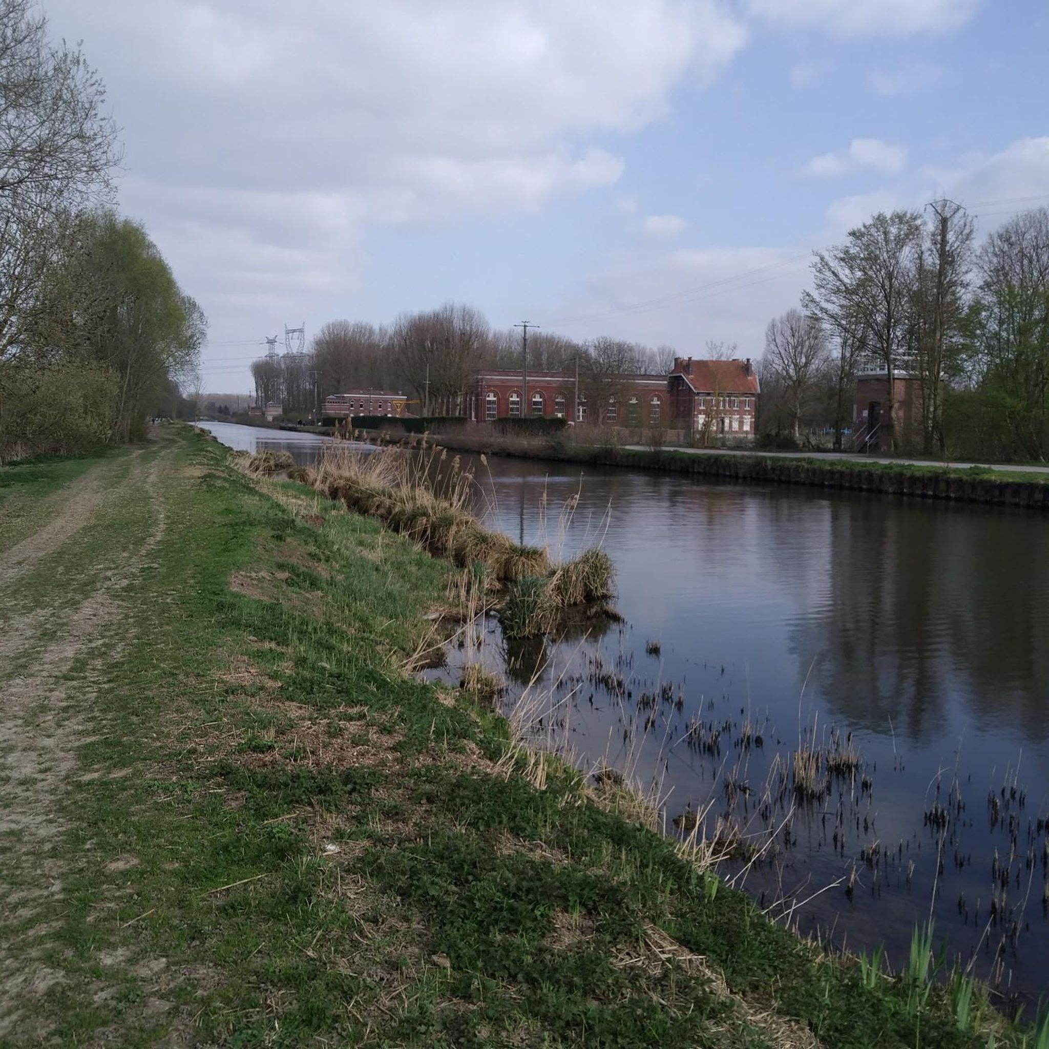
Beautiful walk on a magnificent site
0
0

Great place to run on several routes or hike with the family
0
0


The Rieulay slag heap, also known as the Argales slag heap, is the largest in the region with its 140 hectares. Formerly an industrial site for the storage of waste rock from the surrounding mines, it has been converted into a protected natural area and a place for leisure.
0
0
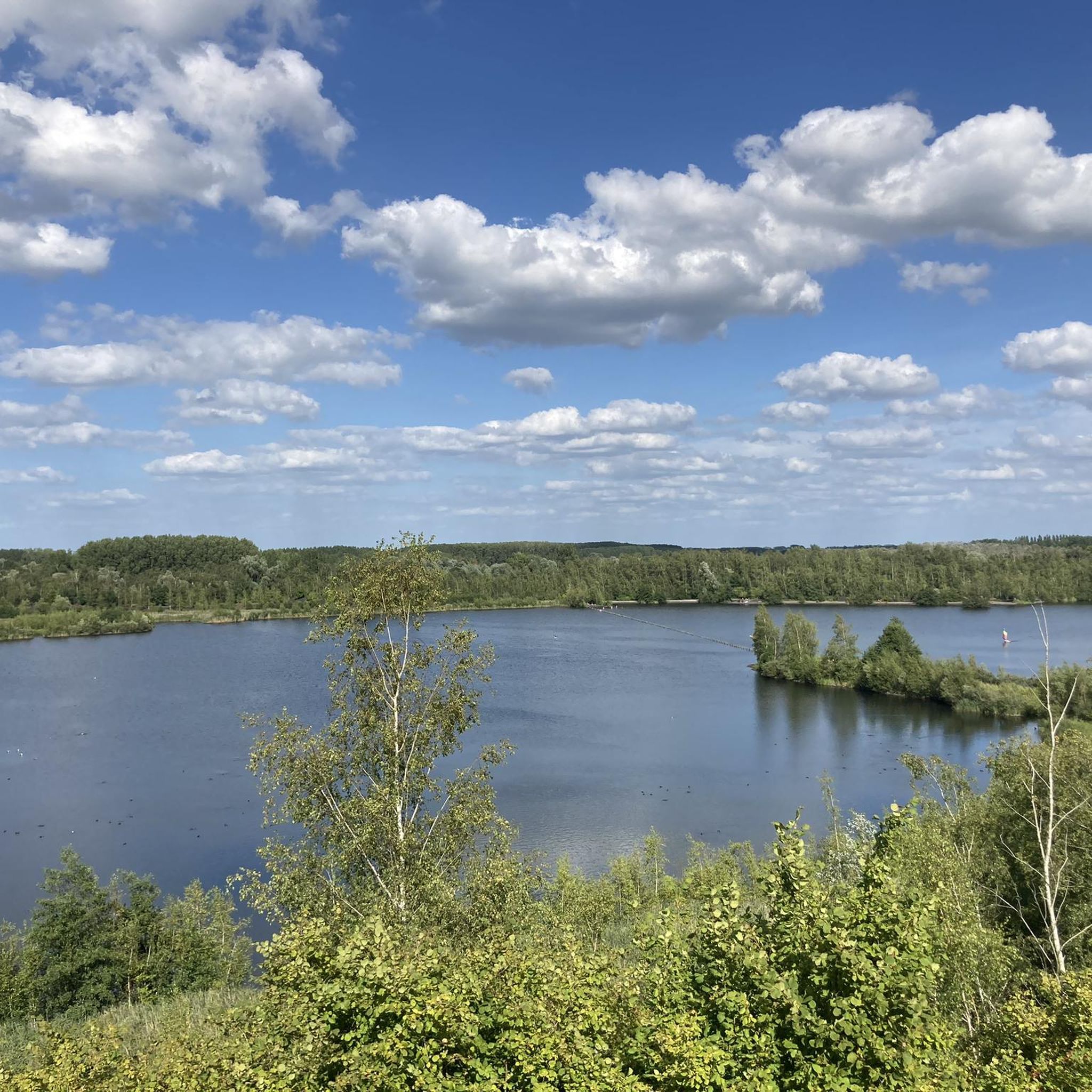
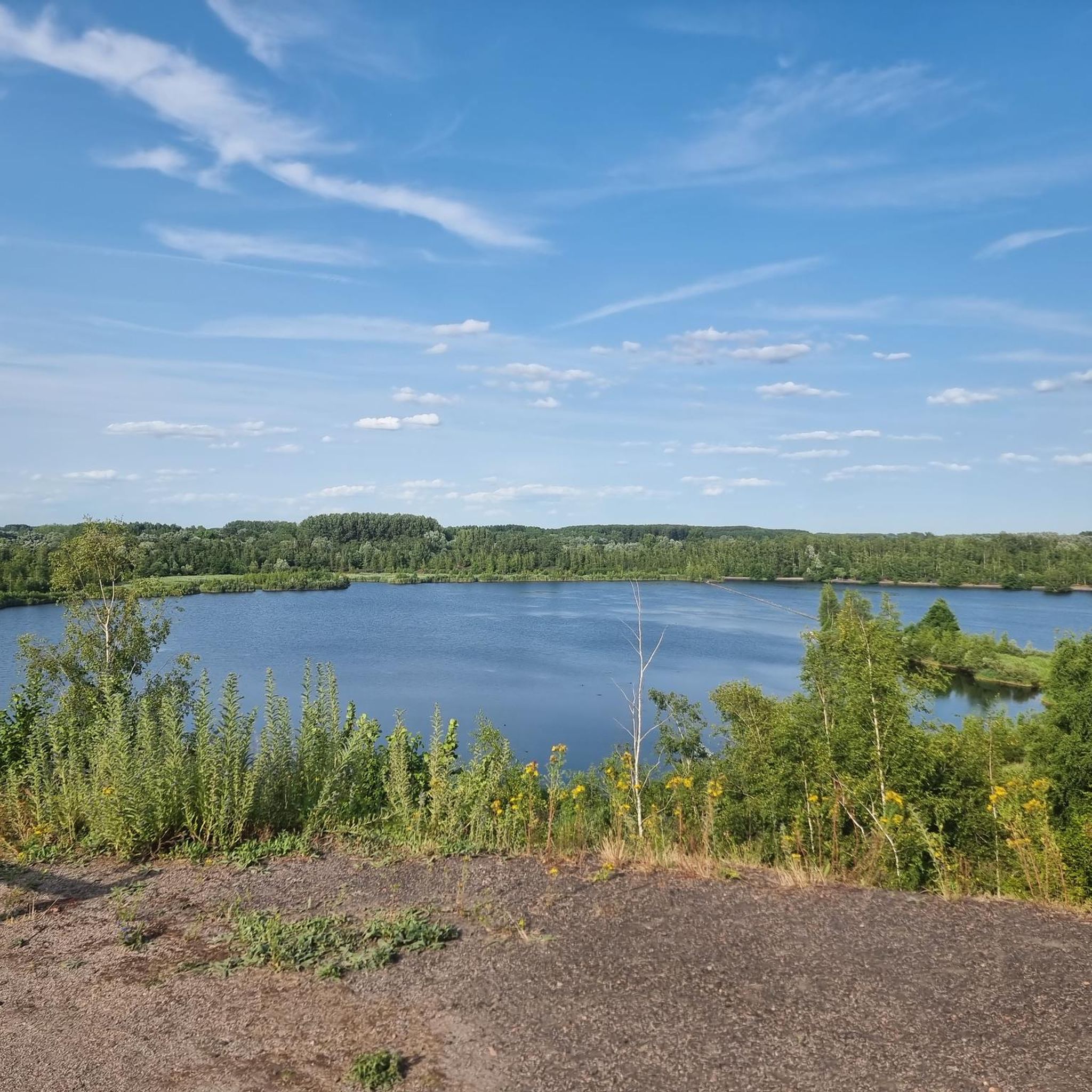
view of Lake Argales and the surrounding towns, at the highest point without going up very high
0
0
The Argales de Rieulay slag heap, the largest in the region (140 ha), has long since closed its mining page. A new story has been unfolding for several years now. That of a successful reconversion.
0
0

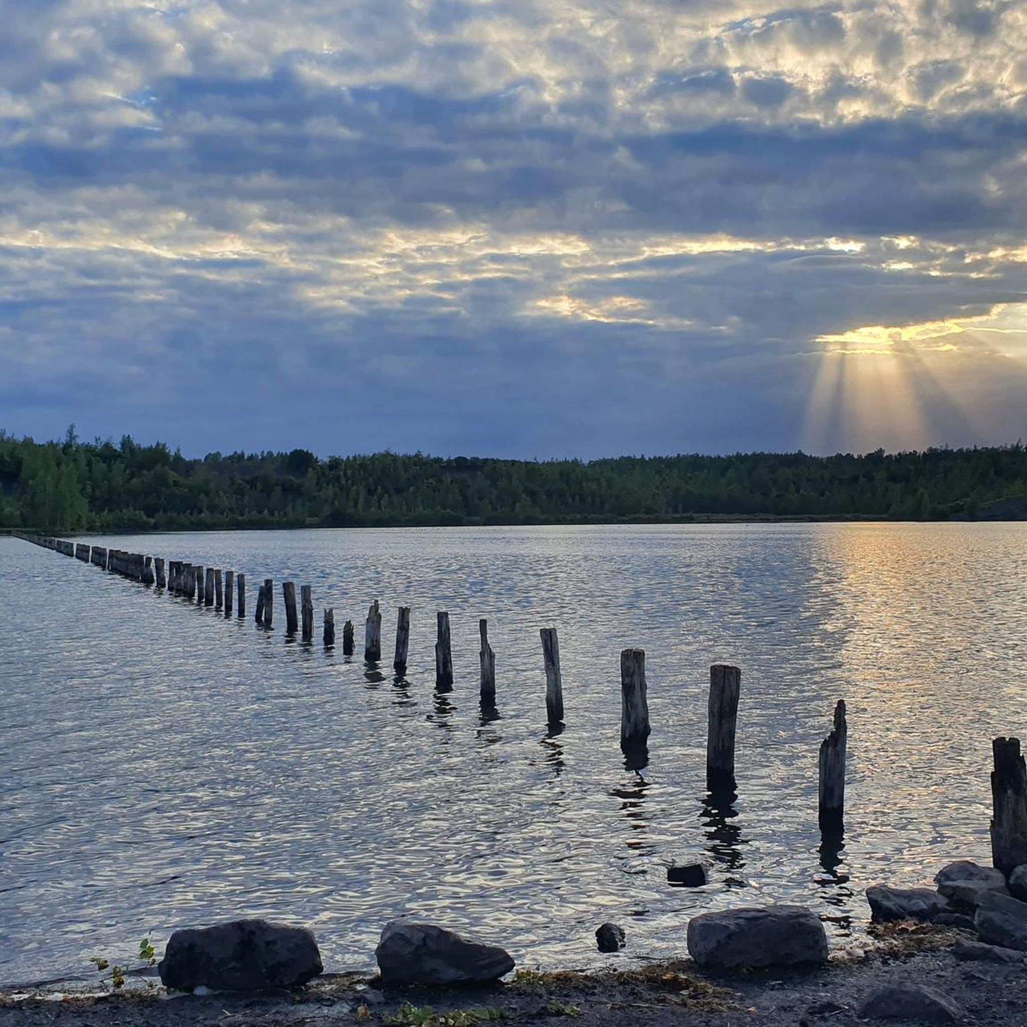
Artificial beach on the body of water
0
0
Panoramic view of the Rieulay site
0
0
Frequently Asked Questions
How many hiking trails are available around Pecquencourt?
There are over 250 hiking routes around Pecquencourt, offering a wide variety of options for all skill levels. This includes 140 easy, 104 moderate, and 7 difficult trails, ensuring there's something for everyone.
Are there easy hiking options suitable for families in Pecquencourt?
Yes, Pecquencourt offers numerous easy hiking options perfect for families, characterized by low elevation gains. Routes like the Viewpoint over the lake – Argales Pond loop from Rieulay (3.1 miles / 5.1 km) provide accessible paths through scenic areas. Many trails around the Étang des Argales are also well-suited for a leisurely family outing.
Can I bring my dog on the hiking trails in Pecquencourt?
Generally, dogs are welcome on trails in the Scarpe-Escaut Regional Natural Park, but it's always best to keep them on a leash, especially in areas with wildlife or near livestock. Always clean up after your pet to help preserve the natural environment for all visitors.
What kind of natural attractions can I expect to see while hiking?
Hiking around Pecquencourt offers a unique blend of natural and historical landscapes. You'll encounter former mining heaps, known as terrils, which have been reclaimed by nature, as well as tranquil water bodies like the Étang des Argales. The area is part of the Scarpe-Escaut Regional Natural Park, providing opportunities to observe local flora and fauna.
Are there any challenging hikes for experienced hikers?
While the region is known for its generally low elevation gains, there are a few routes that offer a more challenging experience. There are 7 trails classified as difficult, often involving longer distances or slightly more varied terrain, providing a good workout for experienced hikers.
Are there circular hiking routes available?
Yes, many of the popular routes around Pecquencourt are circular, allowing you to start and end at the same point. A great example is the Terril de Germignies-nord — loop from Vred, which offers a moderate 5.8-mile (9.4 km) loop through the natural park.
What is the best time of year to go hiking in Pecquencourt?
The spring and autumn months are generally ideal for hiking in Pecquencourt, offering pleasant temperatures and vibrant natural scenery. Spring brings blooming wildflowers, while autumn showcases beautiful foliage. Summer can also be enjoyable, though it's advisable to start early to avoid the midday heat.
Are there options for winter hiking?
Yes, hiking in Pecquencourt is possible during winter, especially on the well-maintained paths around the terrils and lakes. The low elevation gains mean less risk of snow accumulation compared to mountainous regions. Always check local weather conditions and trail reports before heading out, and dress in layers.
Where can I park when visiting the hiking trails?
Parking is generally available near popular trailheads and attractions, particularly around the Étang des Argales and the various terrils. Specific parking information can often be found on the individual komoot Tour pages for each route.
Are there any places to eat or drink along the trails?
While many trails pass through natural areas, you'll find options for refreshments in the nearby towns and villages surrounding Pecquencourt. It's always a good idea to pack water and snacks, especially for longer hikes, as on-trail facilities might be limited.
What do other hikers say about the trails in Pecquencourt?
The hiking trails in Pecquencourt are highly rated by the komoot community, with an average score of 4.5 stars from over 550 reviews. Hikers often praise the unique landscape of the terrils, the peacefulness of the lake areas, and the accessibility of the paths for various fitness levels.
What are the typical lengths of hikes in the Pecquencourt area?
Hikes in Pecquencourt vary significantly in length. You can find shorter, easy walks like the Terril des Argales Loop at 3.0 miles (4.9 km), which takes about 1 hour 17 minutes. There are also longer moderate options, such as the Lac des Argales – Étang des Argales loop from Rieulay, which is 7.4 miles (11.9 km) and takes around 3 hours.
Are there any unique landmarks or points of interest to explore?
Beyond the terrils themselves, which are fascinating landmarks, you can explore the Étang des Argales, a large lake offering scenic views. The area also features remnants of its mining past and various natural monuments like the Roost-Warendin Slag Heap 138, providing a rich historical and ecological context to your hike.
Most popular routes around Pecquencourt
Most popular attractions around Pecquencourt

Get inspired with the komoot mobile app


Explore more
Browse the best Hikes in other regions.
