The best road cycling routes around Lauwin-Planque
4.4
(269)
5,087
riders
475
rides
Road cycling routes around Lauwin-Planque offer accessible terrain within the Douaisis region of France. The area is characterized by generally flat to gently undulating landscapes, providing suitable conditions for road cyclists. Green spaces, wetlands, and the Scarpe River define the natural environment, with routes often following riverbanks or passing through open countryside. This blend of accessible terrain and natural features makes Lauwin-Planque a compelling destination for road cycling.
Best road cycling routes around Lauwin-Planque
- The most popular road cycling route…
Last updated: July 15, 2026
71
riders
91.1km
03:39
160m
160m
Moderate road ride. Good fitness required. Mostly well-paved surfaces and easy to ride.
66
riders
126km
05:14
430m
430m
Hard road ride. Very good fitness required. Some segments of this route may be unpaved and difficult to ride.

Sign up for free
4.0
(3)
72
riders
91.3km
04:00
370m
370m
Moderate road ride. Good fitness required. Some segments of this route may be unpaved and difficult to ride.
43
riders
84.1km
03:25
320m
320m
Moderate road ride. Good fitness required. Mostly well-paved surfaces and easy to ride.
55
riders
Moderate road ride. Good fitness required. Some segments of this route may be unpaved and difficult to ride.
Get access to more routes and recommendations from other explorers.
Sign up for free
Already have an account?
Our route recommendations are based on thousands of hikes, rides, and runs completed by other people on komoot.
Start today with a free account
Your next adventure awaits.
Login or Signup

Tips from the Community

Strook is also called Pont Gibus. Gibus is the nickname for Duclos Lassalle who won Paris-Roubaix in 1992 and 1993.
1
0

superb fresco on Paris Roubaix
0
0

In the middle of the flat roads of the region, the Erchin pass is a delight for punchers. The climb remains accessible, however. It was not listed when the Tour de France passed through in 2022.
0
0

Small hill over 500 meters through fields and woods, with a positive elevation gain of 26 meters.
0
0

The Gibus Bridge, how I always call this point. At the famous ParisRoubaix Challange here is a sorts-photographer waiting for you to take pictures of you. After your finish you can buy those pictures a s a souvenir
1
0
Well-known photo moment here. There is always a professional sports photographer here during the Paris Roubaix Challenger. You can order his photos afterwards, of course for a fee
1
0

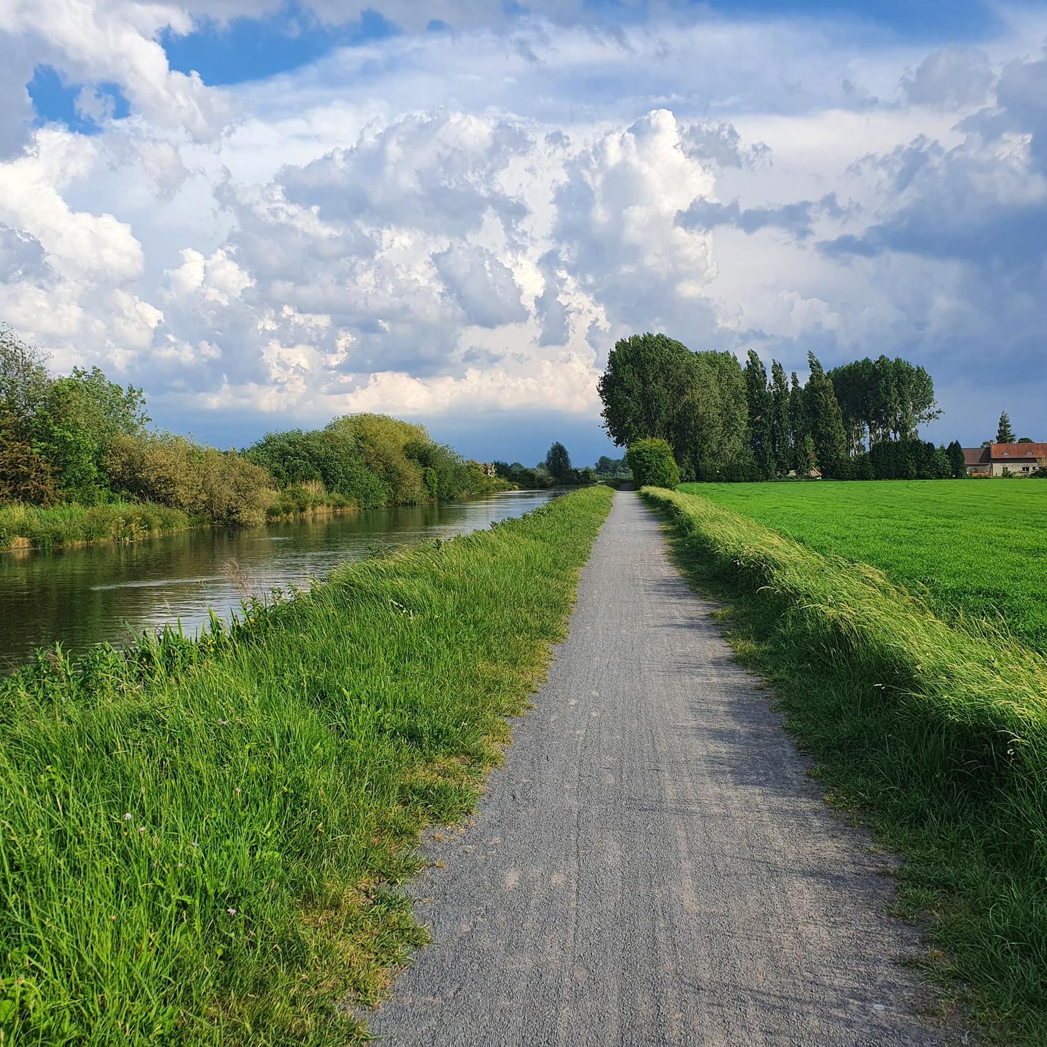
If you are on your bike for a long-distance cycling trip, this scene is wonderful.
2
0

Pont Gibus 1600 meters - 3 stars The strip has been in use since 1974 but has been missing in recent history due to its poor condition. In the autumn of 2012, the strip was restored - for a lot of money - and has been part of the trail again since the 2013 edition. The strip is characterized by the two bridgeheads halfway through the strip. On one of the bridgeheads it says in large letters: GIBUS. The official name of the strip is pavé de Wallers à Hélesmes, but has been known as Pont Gibus for years. Gibus is a pet name for Gilbert-Duclos Lassalle. The tough French hunk from Gap (high mountains, of all places) managed to win the Helle Classic twice and enjoyed great popularity among the French public. This strip is more or less attributed to Gilbert-Duclos Lassalle by the fans. In the final there is a strip just outside Cysoing and it has been formally named Pave Gilbert-Duclos Lassalle. The stretch starts at the D40 just to the south where the riders have reached it after crossing the Bos van Wallers. The strip runs northwest. Almost in a straight line and halfway at the old track there is a pendulum in the strip. The strip joins the D955 After the restoration, the strip lost a star and is now at three stars. That does not change if you have just passed the Forest of Wallers, this remains a difficult strip. That is why many riders will be happy with the restoration because before 2012 the strip was very bad and for many riders the intermediate section on the D40 was too short to catch their breath.
0
1
Frequently Asked Questions
What is the general terrain like for road cycling in Lauwin-Planque?
The terrain around Lauwin-Planque is generally flat to gently undulating, making it well-suited for road cycling. This provides pleasant riding conditions across the Douaisis region, often through open countryside and along riverbanks.
How many road cycling routes are available in the Lauwin-Planque area?
There are over 480 road cycling routes available around Lauwin-Planque, catering to various preferences and skill levels. These include 97 easy, 362 moderate, and 21 difficult routes.
What do other cyclists enjoy most about road cycling in Lauwin-Planque?
The routes in Lauwin-Planque are highly rated by the komoot community, with an average score of 4.5 stars from over 220 reviews. Cyclists often praise the accessible terrain, the scenic views along the Scarpe River, and the blend of natural beauty with historical points of interest.
Are there circular road cycling routes available?
Yes, many road cycling routes in Lauwin-Planque are designed as loops, allowing you to start and finish at the same point. Examples include the Marchiennes State Forest – Croix-ou-Pile loop from Pont-de-la-Deûle and the Towpath of the Scarpe loop from Pont-de-la-Deûle.
What natural features can I expect to see along the road cycling routes?
Road cycling routes in the region often pass through green spaces and wetlands, showcasing an omnipresent natural environment. You can enjoy views of the Scarpe River, and some routes are near regional nature reserves like the Réserve naturelle régionale du Marais de Wagnonville.
Are there any historical landmarks or attractions accessible by bike?
Yes, the area is rich in cultural and historical sites. The UNESCO World Heritage site, the Belfry of Douai, is just 4km from Lauwin-Planque. Other attractions include the Arkéos archaeological park and the Musée de la Chartreuse in Douai. You might also encounter unique features like the Terril de Drocourt or the Voie Verte du Sucre.
Are there easy road cycling routes suitable for beginners?
Yes, there are 97 easy road cycling routes around Lauwin-Planque. These routes typically feature minimal elevation gain and are perfect for beginners or those looking for a relaxed ride. An example of a moderate route with gentle gradients is the Meurchin water station loop from Cuincy.
Can I find long-distance road cycling trails near Lauwin-Planque?
Absolutely. The region offers several longer routes for endurance cyclists. For example, the Col d'Erchin – Gibus Bridge loop from Pont-de-la-Deûle is a challenging 125.9 km trail, and the Towpath of the Scarpe – Farbus Hill loop from Pont-de-la-Deûle covers 84 km.
Is there public transport access to the road cycling trailheads?
Lauwin-Planque and the surrounding towns are generally well-connected. While specific public transport options to every trailhead may vary, the region's accessibility makes it possible to reach starting points via local bus services or regional trains, especially in larger towns like Douai.
Are there any cafes or places to stop for refreshments along the routes?
Many routes pass through or near charming villages and towns where you can find cafes, bakeries, and small shops to refuel. The Douaisis region is known for its local hospitality, offering opportunities for refreshment stops during your ride.
What is the best time of year for road biking in Lauwin-Planque?
The generally flat to gently undulating landscapes of Lauwin-Planque make it suitable for road cycling for much of the year. Spring and autumn offer pleasant temperatures and beautiful scenery, while summer provides longer daylight hours. Winter cycling is possible, but conditions may vary.
Most popular routes around Lauwin-Planque
Most popular attractions around Lauwin-Planque

Get inspired with the komoot mobile app


Explore more
Browse the best Road cycling routes in other regions.
