The best walks and hikes around Aubigny-Au-Bac
4.5
(794)
1,815
hikers
153
hikes
Hiking around Aubigny-Au-Bac offers diverse landscapes characterized by waterways, wetlands, and agricultural plains in the Nord department of France. The region features the Sensée Valley with its canals, fields, and wooded areas, alongside the ecologically significant Aubigny and Brunémont marshes. Gently rolling hills and expansive agricultural plains provide varied terrain for outdoor activities.
Best hiking trails around Aubigny-Au-Bac
- The most popular hiking route is Étangs d'Arleux-Palluel – Paluel Lock loop from Brunémont, a 6.7 miles (10.8 km) trail that…
Last updated: July 13, 2026
4.3
(3)
19
hikers
10.8km
02:46
40m
40m
Moderate hike. Good fitness required. Easily-accessible paths. Suitable for all skill levels.
3.8
(4)
18
hikers
9.22km
02:21
30m
30m
Moderate hike. Good fitness required. Easily-accessible paths. Suitable for all skill levels.

Sign up for free
5.0
(5)
24
hikers
Easy hike. Great for any fitness level. Easily-accessible paths. Suitable for all skill levels.
3.5
(2)
15
hikers
6.39km
01:37
20m
10m
Easy hike. Great for any fitness level. Easily-accessible paths. Suitable for all skill levels.
5.0
(2)
25
hikers
26.3km
06:41
70m
70m
Hard hike. Very good fitness required. Easily-accessible paths. Suitable for all skill levels.
Get access to more routes and recommendations from other explorers.
Sign up for free
Already have an account?
Our route recommendations are based on thousands of hikes, rides, and runs completed by other people on komoot.
Start today with a free account
Your next adventure awaits.
Login or Signup
Tips from the Community

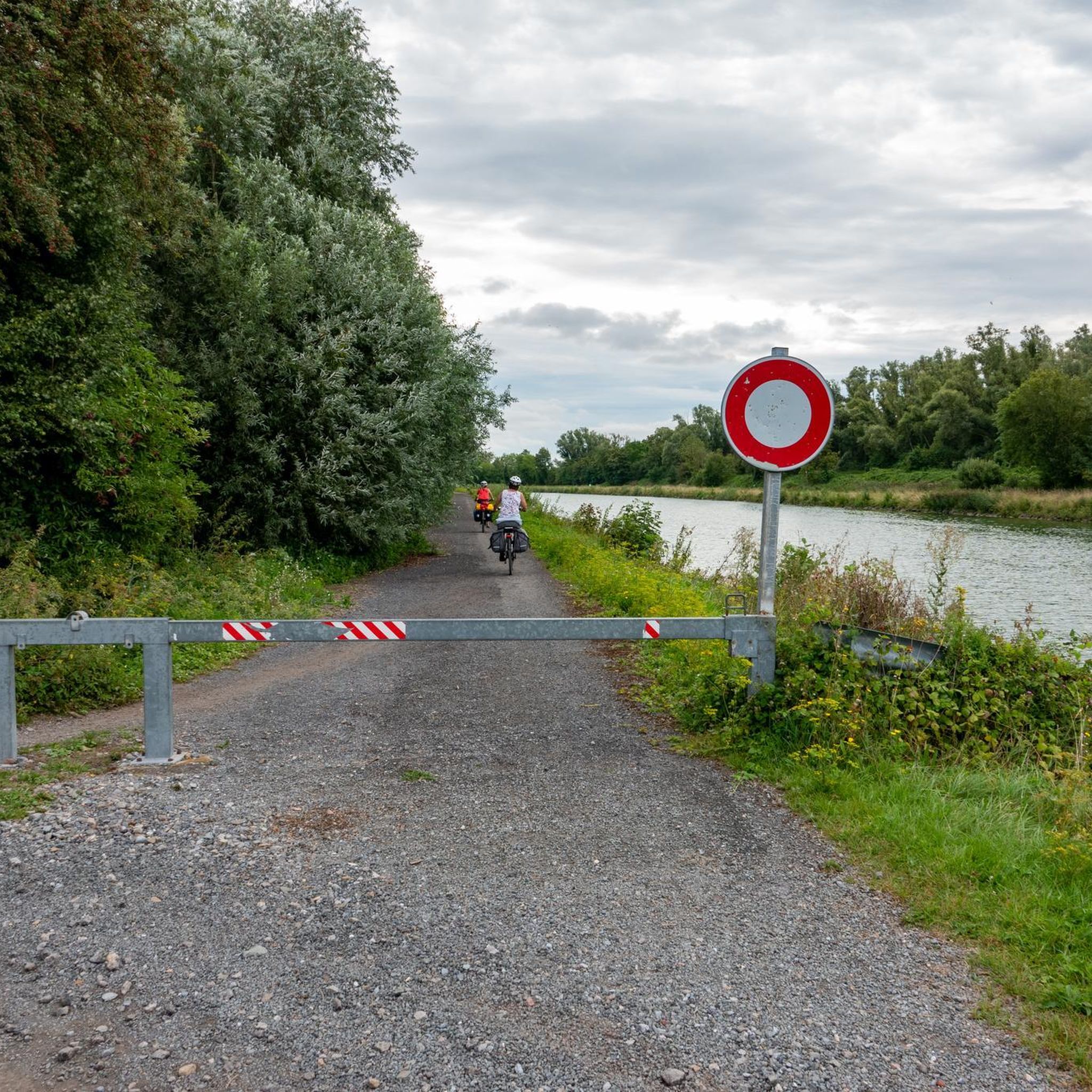
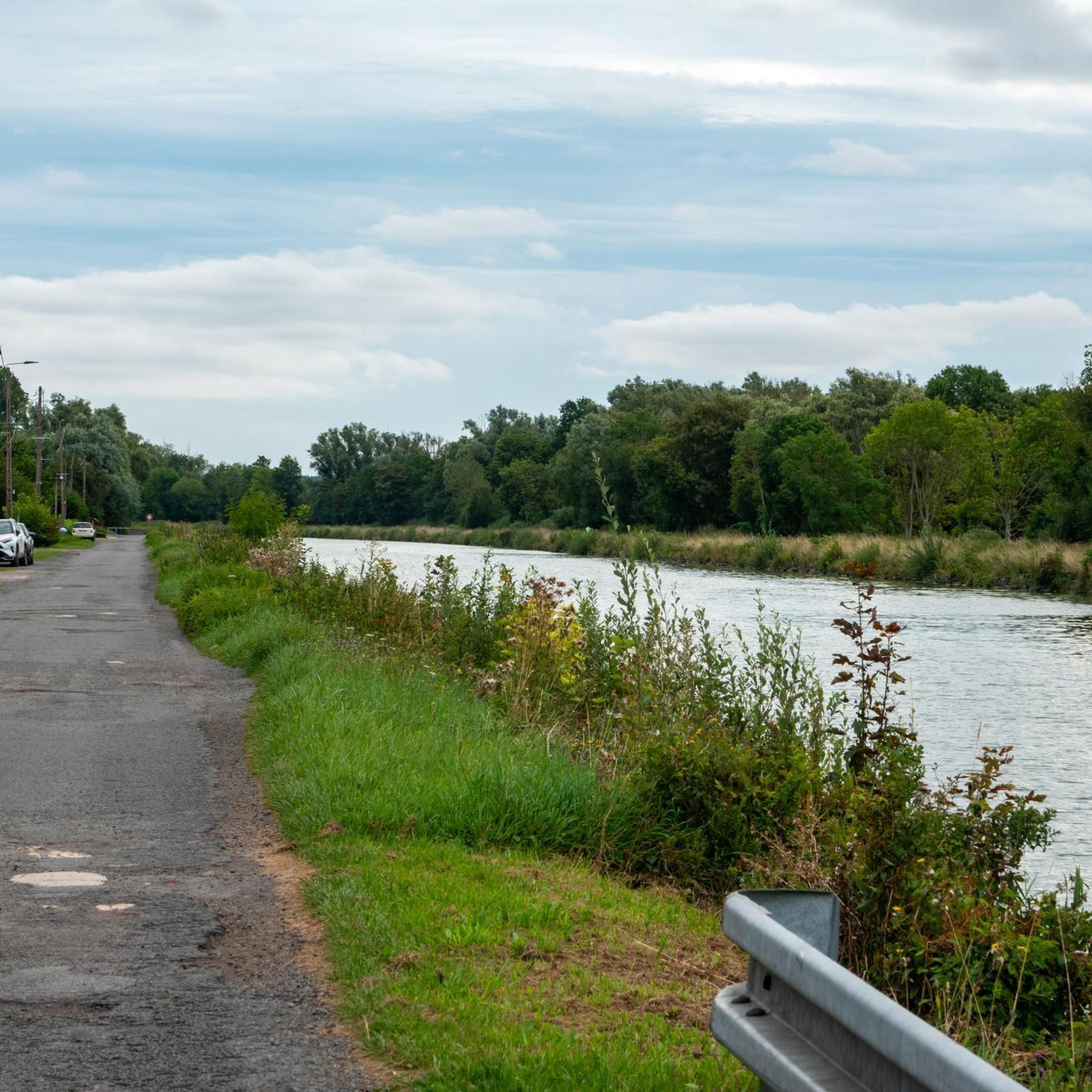
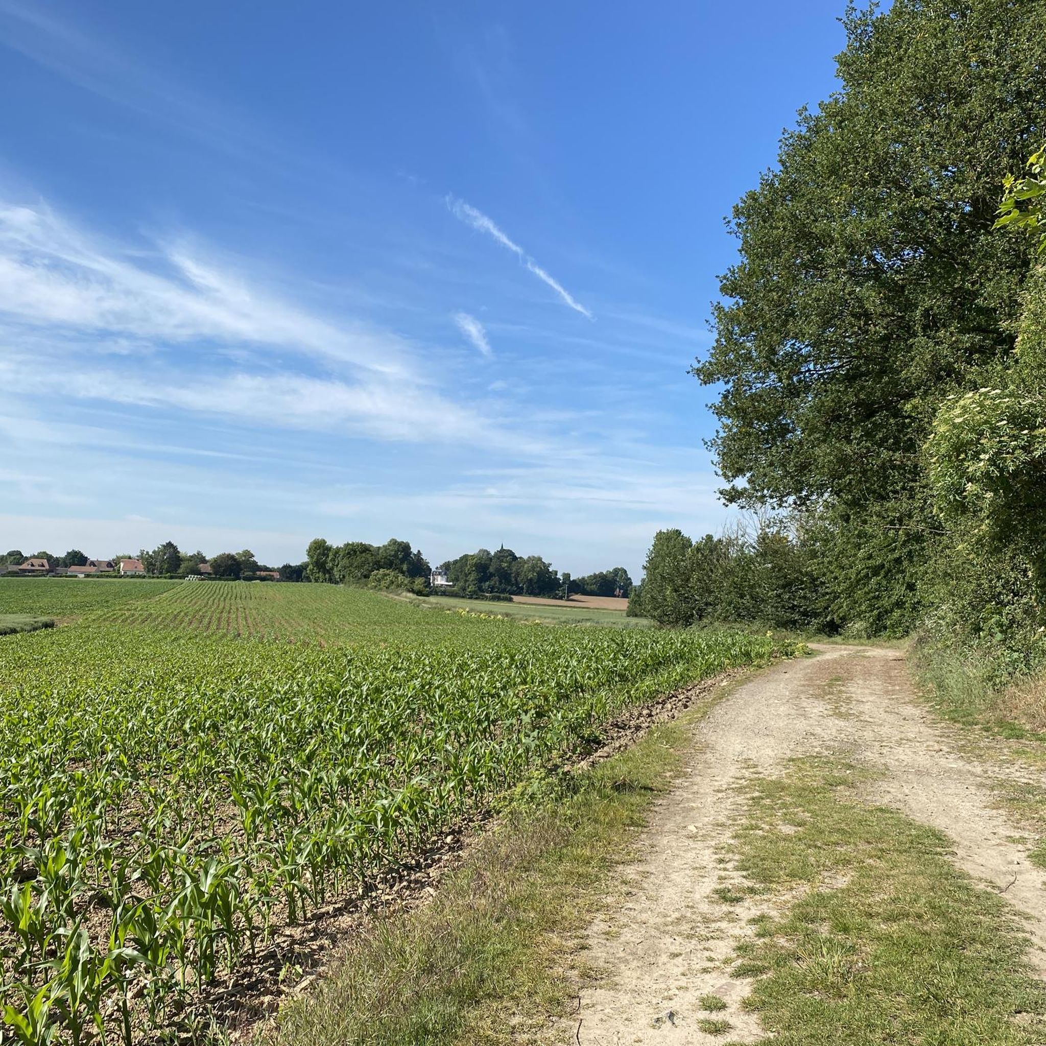
Bring high shoes for the passages in the fields; very pleasant hike which alternates between several panoramas (canal edge; fields; woods)
1
0

The menhir is located in the marsh of Aubigny-au-Bac, on a footpath leading to Brunémont. It is a block of Landenian sandstone 2.90 m high (including 1.48 m above ground) by 2.15 m wide and 0.70 m thick. It is said to have been sunk to about 2.40 m. Shaped like a horse's head, it is associated with a prehistoric megalith despite the absence of evidence.
0
0


The Féchain polisher dates from the Neolithic period (between the 10th and 20th centuries BC). It is then used for the polishing of flint axes: the basins of the upper face are formed by the polishing of the sides of the axes, the grooves by their edge.
1
0

Pretty bucolic passage along the Marais du Haut Pont. Be careful, the passage can be muddy in the rainy season.
1
0
Very beautiful monument of local history to discover during a walk in nature.
1
0

It is a magical place, sheltered in a small clearing, which is accessed by a footbridge. Don't make (too much) noise ...
0
0

Very nice varied hike along the marshes and canals. Beautiful lock of Paluel.
2
0
Frequently Asked Questions
How many hiking trails are available around Aubigny-Au-Bac?
There are over 150 hiking routes around Aubigny-Au-Bac, offering a diverse range of experiences. These include 72 easy routes, 76 moderate trails, and 7 more challenging options for experienced hikers.
What kind of landscapes can I expect to see while hiking in Aubigny-Au-Bac?
Hiking in Aubigny-Au-Bac offers a blend of landscapes. You'll find tranquil waterways and towpaths along the Sensée Valley, ecologically rich marshes and wetlands like those in Aubigny and Brunémont, and expansive agricultural plains with gently rolling hills. The area is characterized by canals, open fields, and wooded sections.
Are there any easy, family-friendly hikes in the area?
Yes, Aubigny-Au-Bac has many easy routes suitable for families. An excellent option is the Jetty on the Aubigny Marsh – the stone that grows loop from Aubigny-au-Bac, an easy 5.2 km trail that takes about 1 hour 19 minutes to complete, leading through the scenic Aubigny Marsh. Another easy choice is The stone that grows – Calm of the pond loop from Brunémont, which is 6.4 km long.
What are some notable natural features or landmarks to look out for on the trails?
The region is rich in natural and historical curiosities. You can explore the unique 'the stone that grows' (La Pierre qui pousse) in the Aubigny-au-Bac marsh, a menhir with local folklore. Other interesting sites include the Menhir of Lécluse or the Devil's Stone and the Hamel Dolmen or the Sorcerers' Kitchen.
Are there any circular walks available in Aubigny-Au-Bac?
Yes, many routes in Aubigny-Au-Bac are circular. For example, the Étangs d'Arleux-Palluel – Paluel Lock loop from Brunémont is a moderate 10.8 km loop. Another popular circular option is The Féchain Polishing Stone – the polishing stone loop from Féchain, a 9.3 km moderate trail.
What is the best time of year to go hiking in Aubigny-Au-Bac?
The diverse landscapes of Aubigny-Au-Bac, with its waterways and wetlands, are enjoyable throughout the warmer months. Spring and autumn offer pleasant temperatures and vibrant scenery, while summer is ideal for enjoying the canals and open fields. The marshes are particularly vital for migratory birds, making spring and autumn excellent for nature observation.
What do other hikers enjoy most about hiking in Aubigny-Au-Bac?
The area is highly rated by the komoot community, with an average score of 4.6 stars from over 600 reviews. Hikers often praise the peaceful canal towpaths, the rich biodiversity of the wetlands, and the varied terrain that ranges from flat, easy paths to gently rolling hills, providing a diverse and tranquil outdoor experience.
Are there any longer, more challenging hikes for experienced trekkers?
While the majority of routes are easy to moderate, there are 7 more difficult trails available for those seeking a greater challenge. The 'Des Trous et des Bosses' trail, for instance, is a longer 22 km route offering panoramic views and insights into the region's historical landscape influenced by resource extraction.
Can I hike along the canals in Aubigny-Au-Bac?
Absolutely. The Canal de la Sensée and the Canal du Nord are central to the local landscape, featuring readily accessible towpaths. These routes provide flat, easy-to-navigate paths with continuous water views, perfect for a relaxed walk or cycle. The 'A la frontière de l'eau' loop is a good example, guiding hikers between canals and fields.
What kind of wildlife can I expect to see in the marshes and wetlands?
The Aubigny and Brunémont marshes are vital ecological areas known for their rich biodiversity. These wetlands, with their reedbeds and willow groves, serve as a crucial refuge for wildlife. You might spot protected migratory birds, herons, marsh warblers, and even grass snakes, making them excellent spots for nature observation.
Are there any historical sites or points of interest near the hiking trails?
Beyond natural features, the region has historical significance. The 'Des Trous et des Bosses' trail offers panoramic views with orientation tables detailing the site's history. You can also find historical sites like The Big Rock and the impressive Porte Notre-Dame de Cambrai nearby.
Is Aubigny-Au-Bac part of any long-distance hiking trails?
Yes, Aubigny-Au-Bac serves as a starting point for a section of the GR®121C long-distance hiking trail. This route primarily follows waterways through the Sensée Valley, showcasing its ponds, marshes, and reedbeds, eventually transitioning into the rolling hills towards Le Quesnoy.
Most popular routes around Aubigny-Au-Bac
Most popular attractions around Aubigny-Au-Bac

Get inspired with the komoot mobile app


Explore more
Browse the best Hikes in other regions.
