The best walks and hikes around Wignehies
4.3
(239)
1,082
hikers
110
hikes
Hiking around Wignehies offers routes through a landscape characterized by forests, ponds, and gentle rolling terrain. The region features numerous water bodies, such as the Étang de Blangy and Étang de Milourd, providing scenic paths. Elevation changes are generally moderate, making the area accessible for various hiking abilities. The trails often traverse woodlands, offering shaded sections and opportunities for wildlife spotting.
Best hiking trails around Wignehies
- The most popular hiking route is Étang de Blangy – Cascade de Blangy loop…
Last updated: July 9, 2026
4.8
(4)
23
hikers
7.82km
02:04
70m
70m
Moderate hike. Good fitness required. Easily-accessible paths. Suitable for all skill levels.
3.8
(5)
46
hikers
10.6km
02:48
100m
100m
Moderate hike. Good fitness required. Easily-accessible paths. Suitable for all skill levels.

Sign up for free
4.0
(1)
5
hikers
10.1km
02:39
80m
80m
Moderate hike. Good fitness required. Easily-accessible paths. Suitable for all skill levels.
7
hikers
6.04km
01:37
70m
70m
Easy hike. Great for any fitness level. Easily-accessible paths. Suitable for all skill levels.
4.0
(42)
5
hikers
10.2km
02:43
100m
100m
Moderate hike. Good fitness required. Easily-accessible paths. Suitable for all skill levels.
Get access to more routes and recommendations from other explorers.
Sign up for free
Already have an account?
Our route recommendations are based on thousands of hikes, rides, and runs completed by other people on komoot.
Start today with a free account
Your next adventure awaits.
Login or Signup
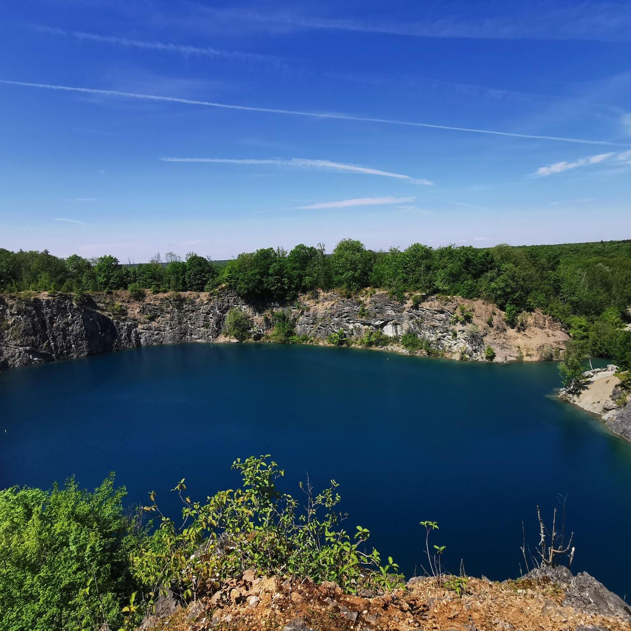
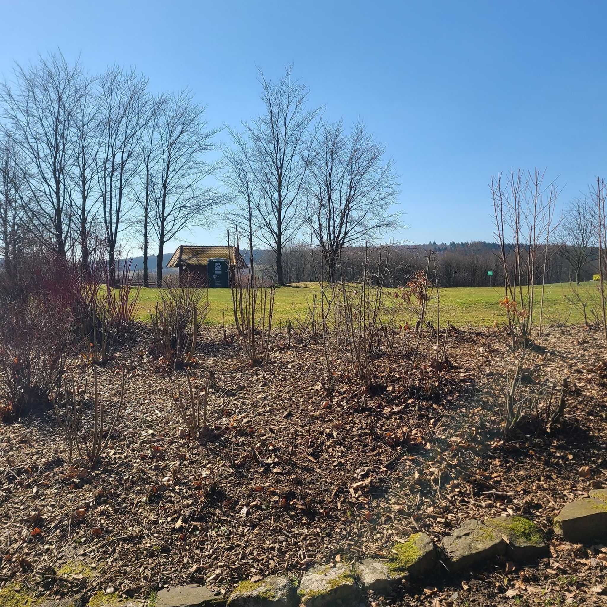

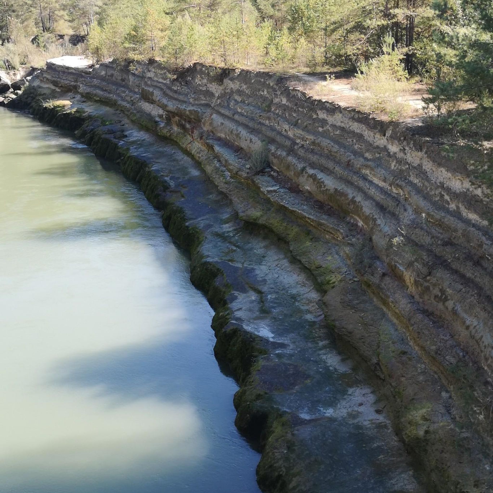

Tips from the Community

Fourmies is located in the Avesnois regional natural park, a former textile and cotton industrial town.
0
1
Frequently Asked Questions
How many hiking trails are available around Wignehies?
There are nearly 90 hiking routes in the Wignehies region, offering a variety of experiences. These include 38 easy trails, 46 moderate routes, and 5 more challenging options, ensuring something for every skill level.
Are there easy or family-friendly hiking options in Wignehies?
Yes, Wignehies offers 38 easy hiking trails, many of which are suitable for families. These routes often traverse woodlands and gentle terrain, providing a pleasant outdoor experience without significant elevation changes. For a moderate family-friendly option, consider the Monks' Pond loop from Mondrepuis, which is 8.7 km long.
Can I find circular hiking routes in Wignehies?
Many of the trails around Wignehies are designed as circular routes, allowing you to start and end at the same point. Popular examples include the Étang de Blangy – Cascade de Blangy loop from Anor, which is 15.3 km, and the 11.1 km Étang de Milourd – Beau sentier forestier (GR) loop from Anor.
What kind of natural scenery can I expect on Wignehies' hiking trails?
The hiking trails in Wignehies are characterized by dense woodlands, serene ponds, and gentle rolling hills. You'll often find paths winding through forests, offering shaded sections and opportunities to observe local flora and fauna. Key natural features include the Étang de Blangy and Étang de Milourd, which provide picturesque waterside paths.
Are there any waterfalls to see while hiking in Wignehies?
Yes, one notable route, the Étang de Blangy – Cascade de Blangy loop from Anor, specifically passes by a waterfall. This 15.3 km moderate trail offers a chance to enjoy both the tranquil pond and the cascade.
What do other hikers say about the trails in Wignehies?
The hiking routes in Wignehies are highly regarded by the komoot community, holding an average rating of 4.2 stars from over 170 reviews. Hikers frequently praise the quiet woodlands, well-maintained paths, and the scenic beauty of the ponds and forests.
Are there any interesting landmarks or attractions near the hiking trails?
Yes, the region around Wignehies offers several points of interest. You might encounter the Voie verte de l'Avesnois, a greenway perfect for walking or cycling, or the historic Château de Trélon. For a historical note, the Canadian Prisoners Memorial in Momignies is also nearby.
Is it possible to spot wildlife on the trails around Wignehies?
The dense woodlands and numerous water bodies, such as the Étang de Blangy and Étang de Milourd, create a rich habitat for wildlife. Hikers often have opportunities for wildlife spotting, particularly birds and small mammals, especially during quieter times of the day.
What is the best time of year to go hiking in Wignehies?
The Wignehies region is enjoyable for hiking throughout much of the year. Spring and autumn offer pleasant temperatures and vibrant foliage, while summer provides lush green landscapes and shaded forest paths. Even in winter, the trails can be beautiful, though conditions may vary.
Are there any trails suitable for winter hiking in Wignehies?
While specific winter-maintained trails are not highlighted, the generally moderate terrain and sheltered forest paths make many routes accessible for winter hiking, provided conditions are safe. Always check local weather forecasts and trail conditions before heading out in colder months.
Are there hiking routes that offer access to public transport or parking?
Many trails in the Wignehies area are accessible from nearby towns like Anor and Fourmies, which may offer public transport connections. Parking is generally available at trailheads or in the vicinity of these starting points. For example, routes like the Étang des Moines North – Monks' Pond loop from Fourmies start near Fourmies, making parking and access convenient.
Are the hiking trails in Wignehies dog-friendly?
Most natural trails in the Wignehies region are generally dog-friendly, especially those through woodlands and around the ponds. It's always recommended to keep dogs on a leash, particularly in areas with wildlife or near livestock, and to follow local regulations regarding pets in natural areas.
Most popular routes around Wignehies
Most popular attractions around Wignehies

Get inspired with the komoot mobile app


Explore more
Browse the best Hikes in other regions.
